The best gravel rides around Tortequesne
4.7
(35)
188
riders
22
rides
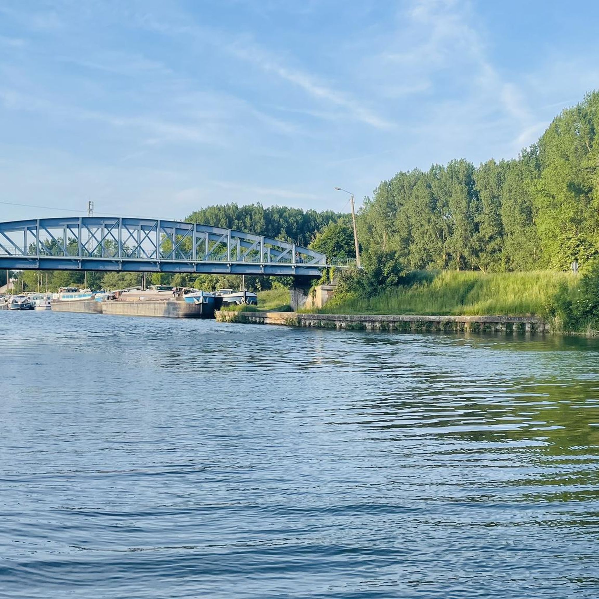
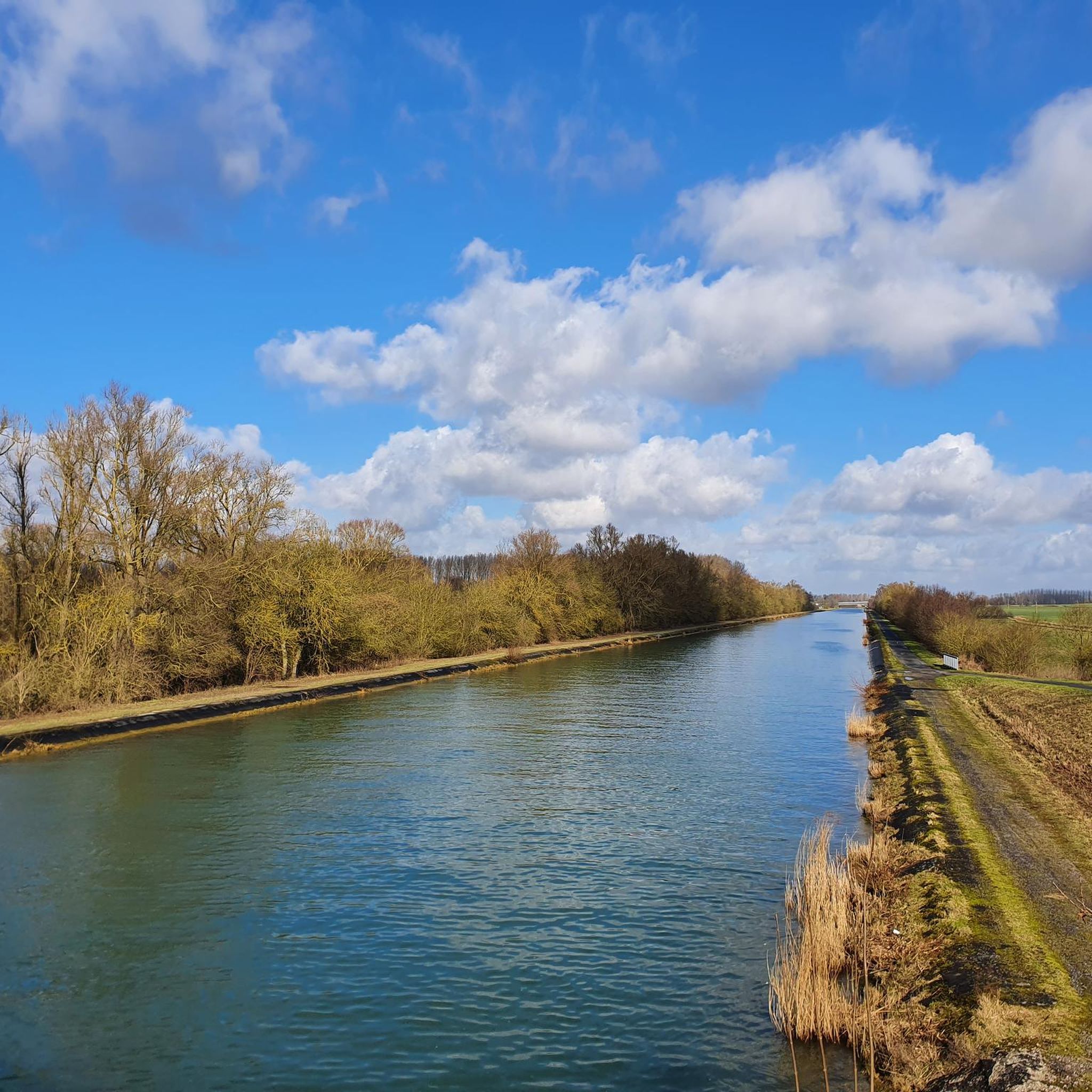
Gravel biking around Tortequesne offers varied terrain across the Pas-de-Calais department of France. The region features a mix of roads and paths, including some hills and false flats, suitable for cycling. Routes often traverse the Sensée valley, providing diverse environments alongside lakes such as the Étang de Lécluse and the Marais d'Aubigny-au-Bac. The landscape is characterized by river valleys like the Scarpe, with towpaths along canals and rivers offering relatively flat and continuous routes.
Best gravel bike trails around Tortequesne
…Last updated: July 3, 2026
3.8
(8)
31
riders
51.5km
03:18
100m
100m
Moderate gravel ride. Good fitness required. Mostly paved surfaces. Suitable for all skill levels.
5.0
(1)
18
riders
98.6km
05:17
260m
260m
Hard gravel ride. Very good fitness required. Mostly paved surfaces. Suitable for all skill levels.

Sign up for free
5.0
(1)
10
riders
61.5km
04:05
290m
290m
Moderate gravel ride. Good fitness required. Mostly paved surfaces. Suitable for all skill levels.
7
riders
32.4km
02:06
220m
220m
Moderate gravel ride. Good fitness required. Mostly paved surfaces. Suitable for all skill levels.
4.0
(2)
6
riders
38.1km
02:08
170m
170m
Moderate gravel ride. Good fitness required. Mostly paved surfaces. Suitable for all skill levels.
Get access to more routes and recommendations from other explorers.
Sign up for free
Already have an account?
Our route recommendations are based on thousands of hikes, rides, and runs completed by other people on komoot.
Start today with a free account
Your next adventure awaits.
Login or Signup

Tips from the Community

Mons and Pevele accelerate 170 km 30 lanes
1
0

End of the trip at this villa in Vitry en Artois
0
0

Really a strip where you can't cheat... First part goes down a bit so you can pick up some speed to get through. Cobblestones are in really bad condition and with the stacking of the strips this is really one that can break your neck...
1
0

Hibers Trench Cemetery, situated just north-west of Wancourt near Arras, was begun in April 1917 by the 50th (Northumbrian) Division shortly after the area was captured by British forces at the Battle of Arras. The cemetery contains 136 graves, six of which are unidentified, and also includes three Canadian graves added later in 1918. The simple design is by G.H. Goldsmith and reflects the understated dignity of this memorial. Its position on the Wancourt-Arras road makes it a silent witness to the fierce fighting that took place here, and the presence of personal inscriptions on some of the headstones emphasises the human story behind the numbers. A place of peace, remembrance and reflection.
10
0
Le Jardin Minelle is fed by spring water and has a central water feature which is a meeting place for various birds such as moorhens, ducks and swans. It is a beautiful place to walk or enjoy nature.
6
0

@paulnijhof it's a bit of a shame that you copy my texts and photos from my blog.
1
0

The menhir is located in the marsh of Aubigny-au-Bac, on a footpath leading to Brunémont. It is a block of Landenian sandstone 2.90 m high (including 1.48 m above ground) by 2.15 m wide and 0.70 m thick. It is said to have been sunk to about 2.40 m. Shaped like a horse's head, it is associated with a prehistoric megalith despite the absence of evidence.
0
0

Frequently Asked Questions
How many gravel biking routes are available around Tortequesne?
There are over 20 gravel biking routes available around Tortequesne. These routes offer a diverse experience, ranging from moderate to difficult, catering to various skill levels.
What kind of terrain can I expect on gravel bike trails near Tortequesne?
The terrain around Tortequesne is quite varied, featuring a mix of roads and paths. You'll encounter some hills and false flats, especially in areas like the Sensée valley. Many routes also utilize towpaths along canals and rivers, such as the Scarpe, which tend to be flatter and more continuous, offering a smoother ride through natural settings.
Are there any notable natural features or landmarks to see along the gravel routes?
Yes, the region is rich in natural beauty and historical points of interest. You can explore areas around the Étang de Lécluse and the Marais d'Aubigny-au-Bac, known for their diverse ecosystems and wetland birds. Routes may also pass by intriguing landmarks such as The Menhir of Lécluse or the Devil's Stone, The Big Rock, or Hamel Dolmen or the Sorcerers' Kitchen.
What do other cyclists say about gravel biking in Tortequesne?
The komoot community highly rates the gravel biking experience in Tortequesne, with an average score of 4.3 stars from over 30 reviews. Cyclists often praise the varied terrain, the scenic river valleys, and the peaceful towpaths that make for enjoyable rides.
Are there any family-friendly gravel biking options in Tortequesne?
While specific 'easy' routes are not highlighted, the region's towpaths along canals and rivers, like those found along the Scarpe, generally offer relatively flat and continuous paths. These can be suitable for families looking for a less challenging ride through natural environments. Always check the route details for elevation and surface type to ensure it meets your family's needs.
Can I bring my dog on the gravel bike trails?
Many natural areas and public paths in France are dog-friendly, especially if your dog is well-behaved and kept on a leash. The extensive network of towpaths and natural trails around Tortequesne, including those near the Étang de Lécluse and Marais d'Aubigny-au-Bac, are generally suitable for cycling with dogs. However, it's always best to check local regulations for specific nature reserves or private lands you might encounter.
Are there circular gravel bike routes available?
Yes, many of the gravel routes in the area are designed as loops. For example, the Argalles spoil tip and pond. – Étang des Argales loop from Douai is a popular circular trail. Another option is the Biache-Saint-Vaast marshes – Scarpe riverbanks loop from Vitry-en-Artois, which offers a moderate ride through scenic marshlands.
What is the best time of year for gravel biking in Tortequesne?
The region's diverse landscapes, including wetlands and river valleys, are enjoyable throughout much of the year. Spring and autumn generally offer pleasant temperatures and beautiful scenery, with fewer crowds. Summer can also be great, but be prepared for warmer weather. Winter rides are possible, but some paths might be muddy or wet due to the humid environment.
Are there places to eat or stay near the gravel biking trails?
Tortequesne and the surrounding villages offer various amenities. While specific cafes or pubs directly on the trails are not listed, you'll find options in nearby towns like Douai or Vitry-en-Artois, which serve as common starting points for many routes. For accommodation, you can look for guesthouses or hotels in these larger centers.
Is parking available at the trailheads?
Parking is generally available in the towns and villages that serve as starting points for these routes. For instance, routes often begin near places like Douai or Vitry-en-Artois, where public parking facilities can be found. It's advisable to check specific starting points for designated cyclist parking areas.
How can I access the gravel trails using public transport?
Public transport options, such as regional trains or buses, can connect you to larger towns like Douai, which are common starting points for many gravel biking routes in the Tortequesne area. From these towns, you can often cycle directly to the trailheads. Always check the local public transport schedules and bicycle carriage policies beforehand.
Are there any routes that follow river towpaths?
Yes, the region is characterized by several river valleys, including the Scarpe, and many routes take advantage of their towpaths. These provide relatively flat and continuous paths, ideal for gravel biking. A great example is the Towpath of the Scarpe – Scarpe towpath loop from Douai, which offers scenic views along the river.
What is the longest gravel route I can find in the area?
Among the routes highlighted, the Biache-Saint-Vaast marshes – Scarpe riverbanks loop from Vitry-en-Artois is one of the longer options, covering approximately 32 miles (51.5 km). This route offers an extensive exploration of the region's natural landscapes.
Most popular routes around Tortequesne
Most popular attractions around Tortequesne

Get inspired with the komoot mobile app


Explore more
Browse the best Gravel rides in other regions.
