The best gravel rides around Ötingen
4.5
(134)
811
riders
50
rides
Gravel biking around Ötingen offers a diverse landscape for exploration, featuring a mix of rolling terrain, dense woodlands, and open paths. The region provides varied surfaces for gravel cyclists, from fine gravel to root-covered trails, encompassing both paved and unpaved sections. Routes often follow river valleys and traverse agricultural areas, with some sections including moderate climbs and elevation changes. This topography supports both longer endurance rides and shorter, more accessible trails.
Best gravel bike trails around Ötingen
- The most popular…
Last updated: July 3, 2026
4.8
(18)
92
riders
55.5km
03:17
620m
620m
Hard gravel ride. Very good fitness required. Mostly paved surfaces. Suitable for all skill levels.
4.5
(17)
83
riders
37.1km
02:05
290m
290m
Moderate gravel ride. Good fitness required. Mostly paved surfaces. Suitable for all skill levels.

Sign up for free
4.3
(3)
23
riders
47.8km
03:07
640m
640m
Hard gravel ride. Very good fitness required. You may need to push your bike for some segments of this route.
4.8
(17)
92
riders
64.1km
03:39
580m
580m
Hard gravel ride. Very good fitness required. Mostly paved surfaces. Suitable for all skill levels.
19
riders
40.1km
02:43
570m
570m
Hard gravel ride. Very good fitness required. Mostly paved surfaces. Suitable for all skill levels.
Get access to more routes and recommendations from other explorers.
Sign up for free
Already have an account?
Our route recommendations are based on thousands of hikes, rides, and runs completed by other people on komoot.
Start today with a free account
Your next adventure awaits.
Login or Signup
Tips from the Community


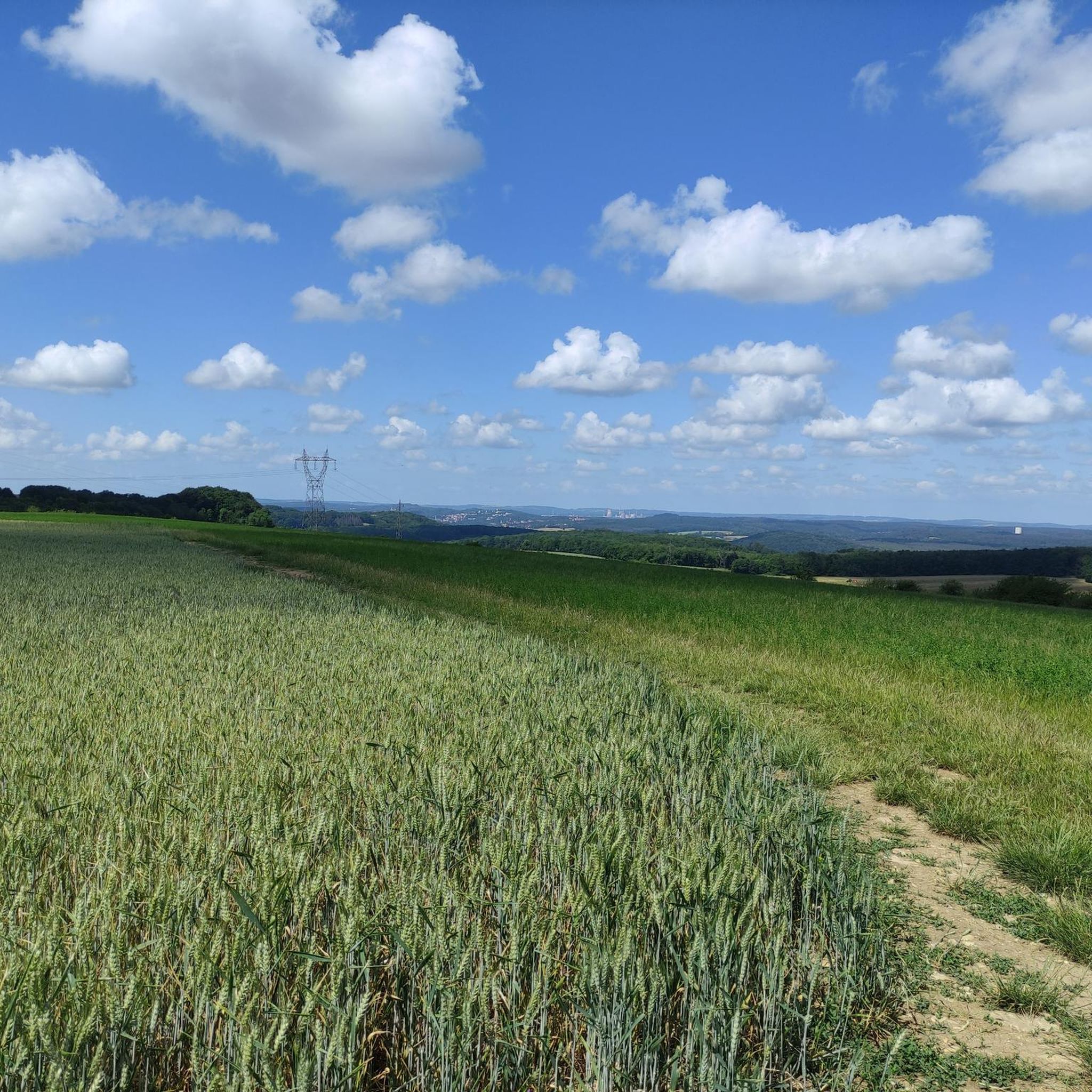
The Saar (French Sarre, Latin Saravus, Luxembourgish Saar) is a river flowing approximately northward in Alsace and Lorraine, as well as in the German states of Saarland and Rhineland-Palatinate. With a flow distance of 235 kilometers, it is the longest tributary of the Moselle; its catchment area covers 7431 square kilometers, which is about three times the area of Saarland (2569.69 km²). See: https://de.wikipedia.org/wiki/Saar
1
0

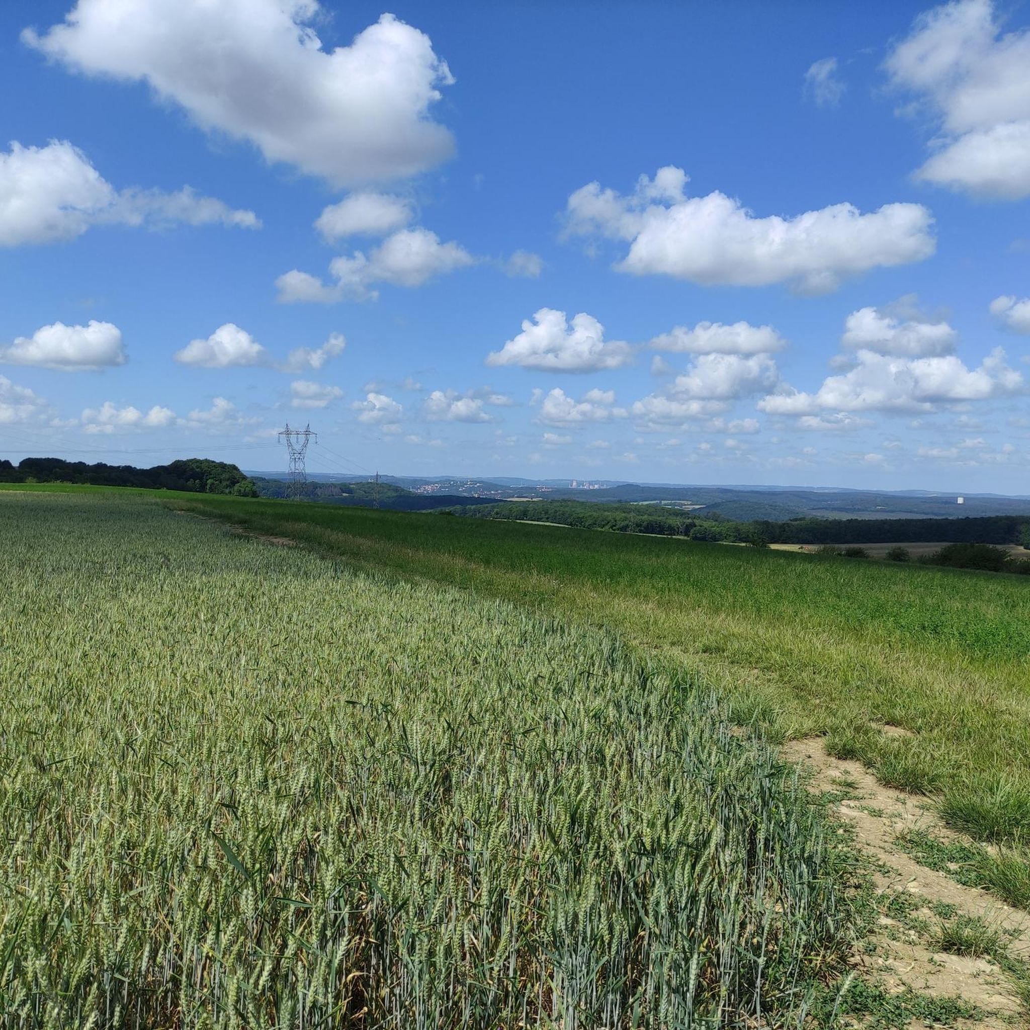
Beautiful quiet hiking trail, very well signposted
1
0


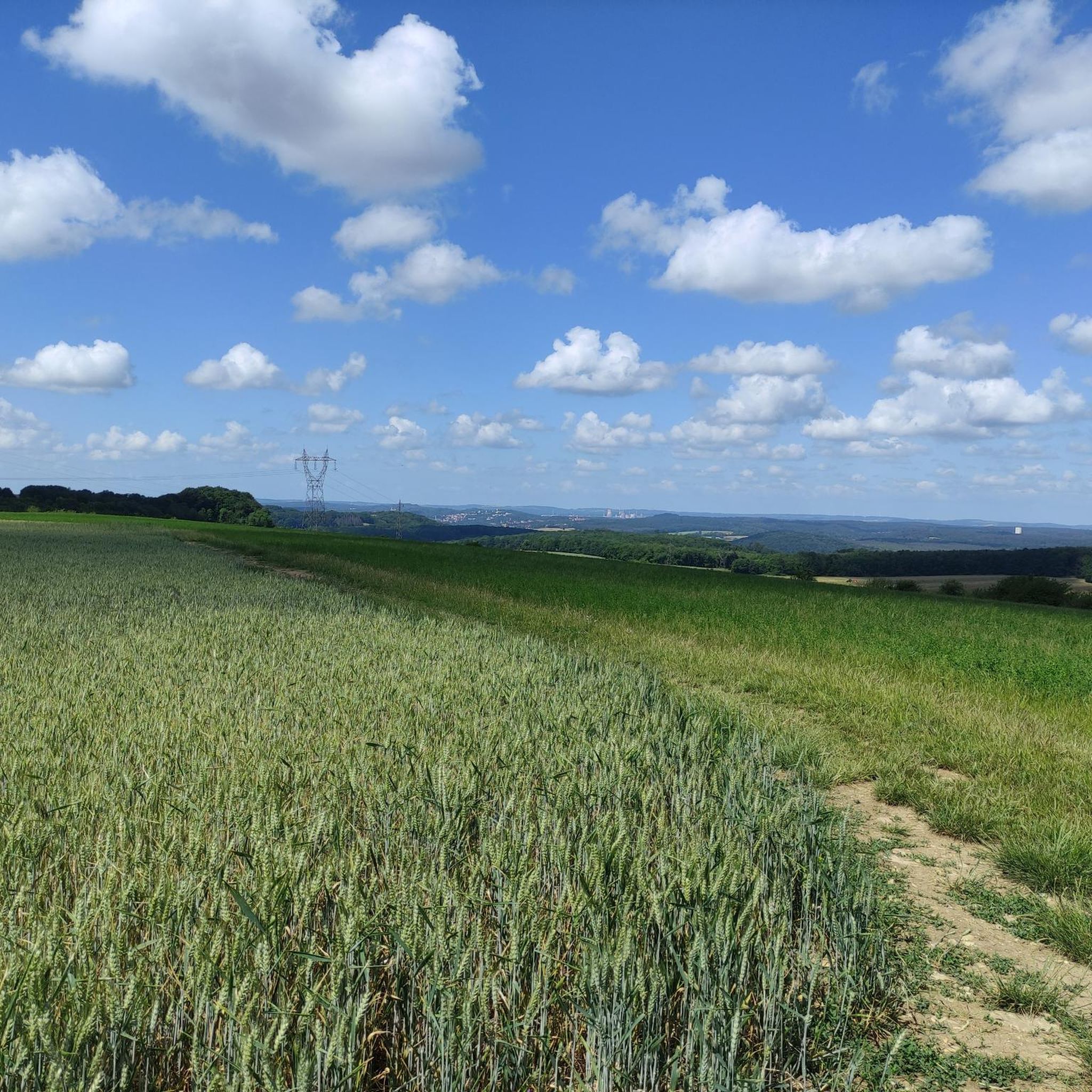
Gut Hartungshof near Bliesransbach is located approximately 12 km from Saarbrücken and is part of the UNESCO-recognized Bliesgau Biosphere Reserve. It is known for the production and sale of beef. The history of the Hartungshof farm dates back to the 19th century. The estate includes the following areas: An agricultural operation, forestry, energy management in the field of renewable energies, an herb garden, and a farm shop. A visit to explore the estate, shop for local produce, and enjoy a panoramic view of the Bliesgau lowlands is definitely worthwhile.
2
0


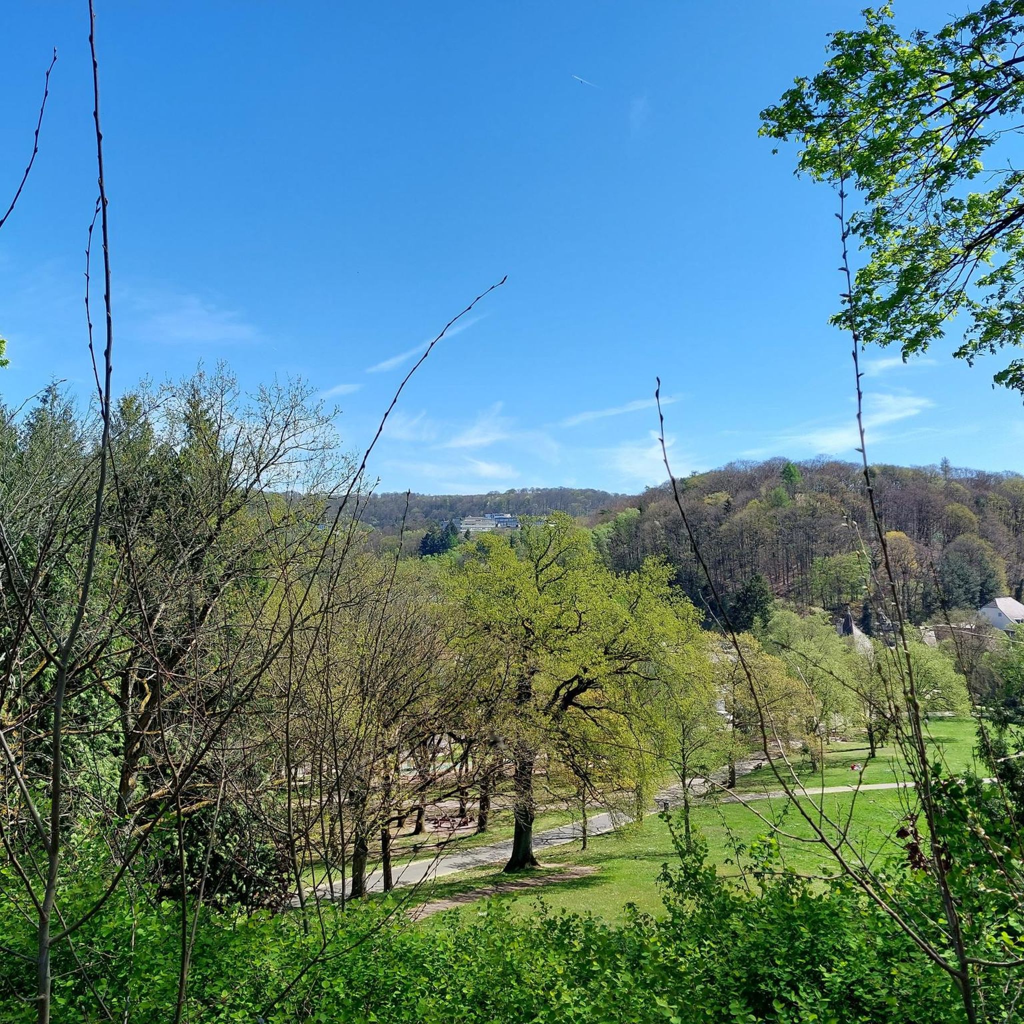
cycle path
1
0
Frequently Asked Questions
How many gravel bike trails are available around Ötingen?
There are over 80 gravel bike routes around Ötingen, offering a wide range of options for different skill levels. You'll find a mix of moderate and difficult trails to explore.
Are there any easy gravel bike trails suitable for beginners in Ötingen?
While many routes in Ötingen are moderate to difficult, there is at least one easy gravel bike trail available. The region's diverse terrain means you can find paths that suit a more relaxed pace, often following river valleys or through agricultural areas.
What are the typical distances for gravel bike routes in Ötingen?
Gravel bike routes in Ötingen vary significantly in length. You can find shorter options, such as the Saar Cycle Path – Lock on the Saar loop from Grosbliederstroff at 30 km, up to longer, more challenging rides like the Glashütter Pond – Würzbacher Pond loop from Südbahnhof, which covers nearly 64 km.
Are there any circular gravel bike routes around Ötingen?
Yes, many of the gravel bike routes in Ötingen are designed as loops. For example, you can enjoy the challenging Heidenkopf Observation Tower – Heidenkopf Observation Tower loop from Südbahnhof or the moderate Lock on the Saar – Saar Cycle Route loop from Spicheren, both offering scenic circular journeys.
What kind of terrain can I expect on gravel bike trails in Ötingen?
Ötingen's gravel bike trails feature a diverse landscape. You'll encounter rolling terrain, dense woodlands, open paths, river valleys, and agricultural areas. Some sections include moderate climbs, providing varied surfaces and challenges for gravel cyclists.
What do other gravel bikers say about the trails in Ötingen?
The gravel biking routes in Ötingen are highly rated by the komoot community, with an average score of 4.4 stars from over 180 reviews. Riders often praise the varied terrain, from river paths to forested sections, and the options available for different ability levels.
Are there any notable viewpoints or natural attractions along the gravel routes?
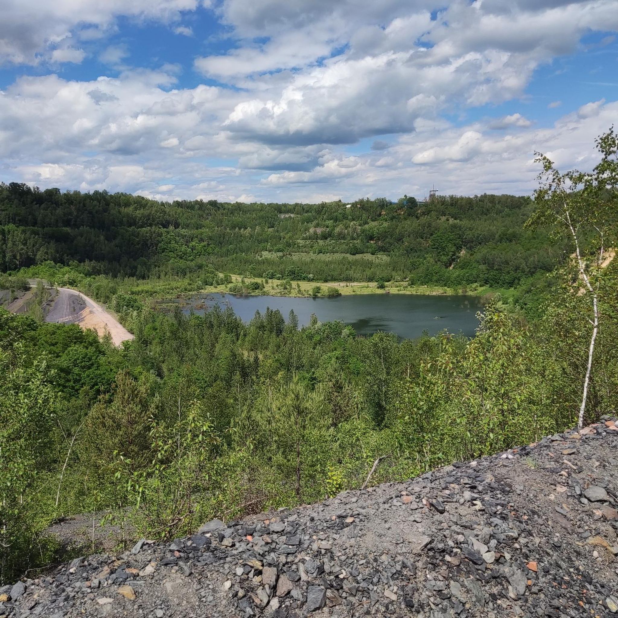
Yes, the region offers several points of interest. You might find scenic spots like the Panoramic Platform at Barrois Quarry or natural features such as the Barrois Quarry itself. Some routes also pass by tranquil spots like the Burbach Forest Pond.
Are there any bike parks or dedicated trails nearby for more technical riding?
Yes, if you're looking for more technical riding, there are several bike parks and dedicated trails in the vicinity. You could explore options like Flowtrail Homburg, the Blue 5 Trail on Großer Homburg, or the Soulrider Pumptrack Saarbrücken.
What is the best time of year for gravel biking in Ötingen?
Given the mix of woodlands and open paths, spring and autumn generally offer the most pleasant conditions for gravel biking in Ötingen, with milder temperatures and beautiful scenery. Summer can also be good, but be prepared for warmer weather, especially on exposed sections. Winter riding is possible, but conditions will depend on snow and ice.
Can I access gravel bike trails in Ötingen using public transport?
Many routes around Ötingen, such as those starting from Südbahnhof, are often accessible via public transport connections. It's advisable to check local public transport schedules and bike carriage policies for specific routes and starting points.
Are there places to park my car when starting a gravel bike ride in Ötingen?
Parking is generally available near common starting points for gravel routes. For instance, areas around the Franco-German Garden are known to have parking facilities, which can serve as a convenient base for exploring nearby trails.
Are there any routes that pass by cafes or places to stop for refreshments?
While specific cafes are not highlighted on every route, many trails in Ötingen traverse through or near towns and villages where you can find opportunities for refreshments. Planning your route with komoot allows you to identify such stops along the way.
Most popular attractions around Ötingen

Get inspired with the komoot mobile app


Explore more
Browse the best Gravel rides in other regions.
