The best gravel rides around Uhrweiler
4.7
(3)
15
riders
22
rides
Gravel biking around Uhrweiler is situated in the Bas-Rhin department of Grand Est, France, near the North Vosges Regional Natural Reserve. The region features a diverse landscape with sandy gravel paths through forests, smoother paved sections, and routes along the Sauer River. This terrain provides varied experiences, combining off-road segments with more accessible stretches through dense woodlands and rolling countryside. The area is characterized by natural scenery and proximity to historical landmarks like Lichtenberg Castle.
Best gravel bike trails around…
Last updated: July 3, 2026
4.0
(1)
7
riders
48.2km
03:53
1,050m
1,050m
Hard gravel ride. Very good fitness required. Mostly paved surfaces. Suitable for all skill levels.
2
riders
35.7km
02:50
690m
690m
Hard gravel ride. Very good fitness required. Mostly paved surfaces. Suitable for all skill levels.

Sign up for free
5.0
(1)
2
riders
19.7km
01:35
420m
420m
Moderate gravel ride. Good fitness required. Mostly paved surfaces. Suitable for all skill levels.
5.0
(1)
2
riders
42.9km
02:44
420m
420m
Moderate gravel ride. Good fitness required. Mostly paved surfaces. Suitable for all skill levels.
2
riders
Moderate gravel ride. Good fitness required. Mostly paved surfaces. Suitable for all skill levels.
Get access to more routes and recommendations from other explorers.
Sign up for free
Already have an account?
Our route recommendations are based on thousands of hikes, rides, and runs completed by other people on komoot.
Start today with a free account
Your next adventure awaits.
Login or Signup
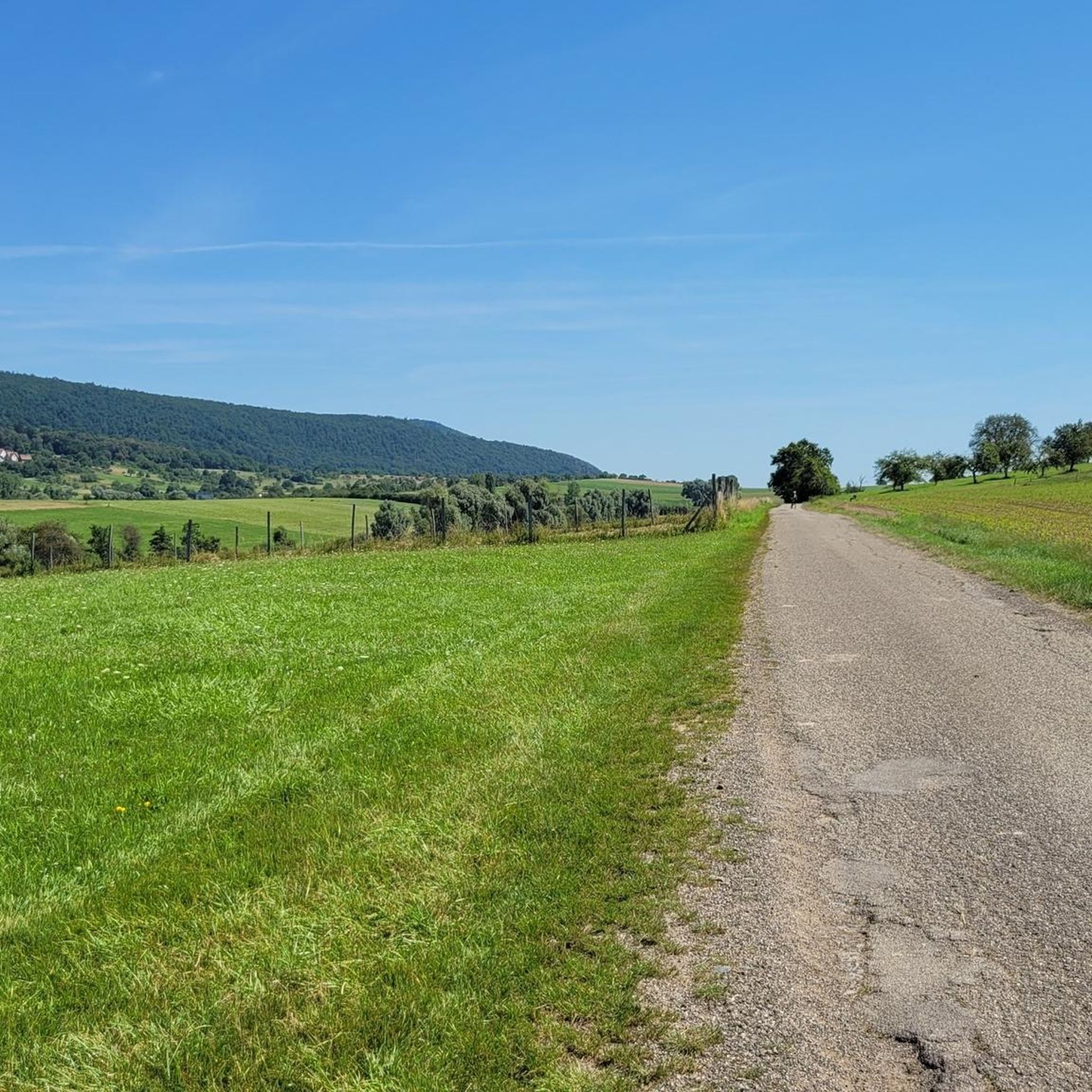
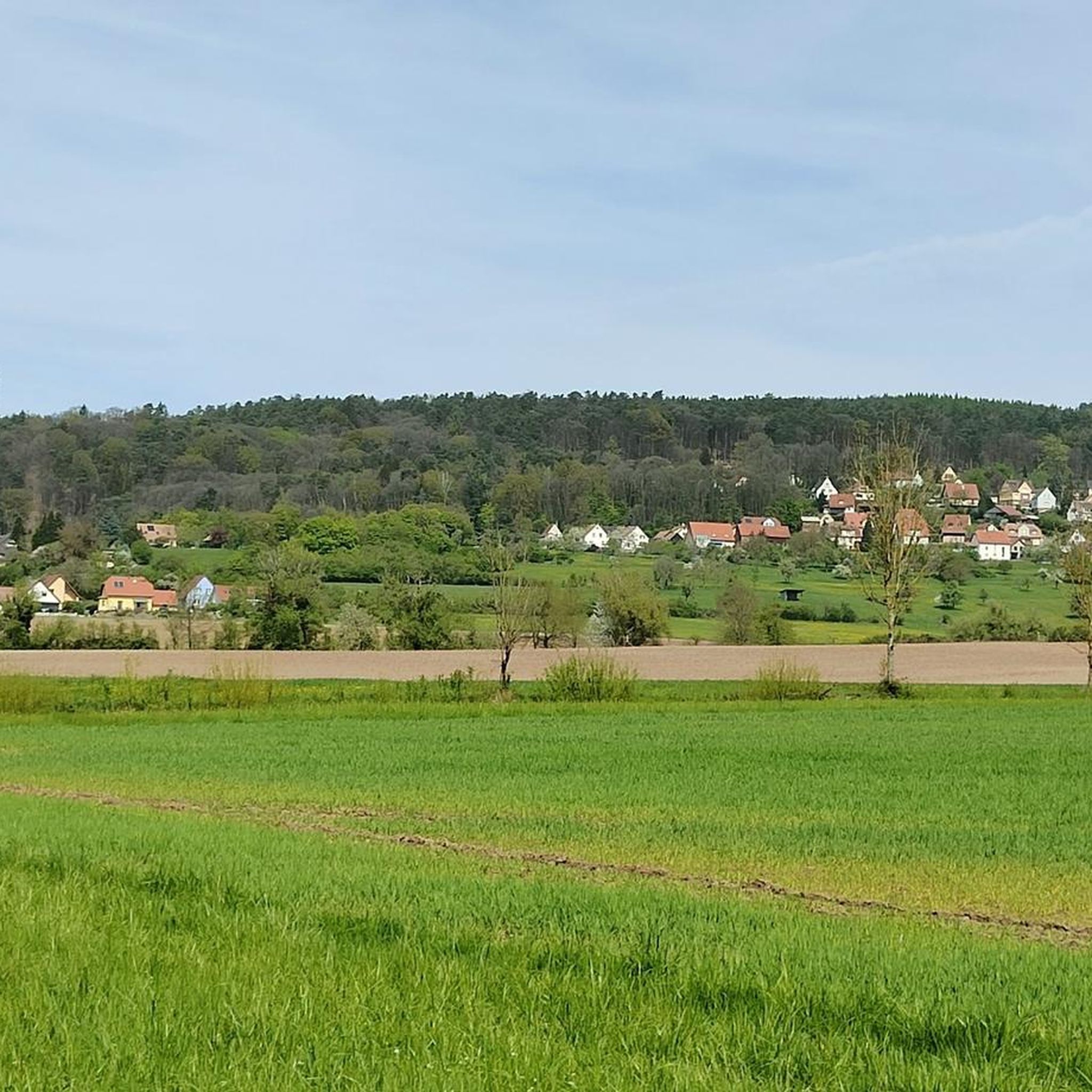
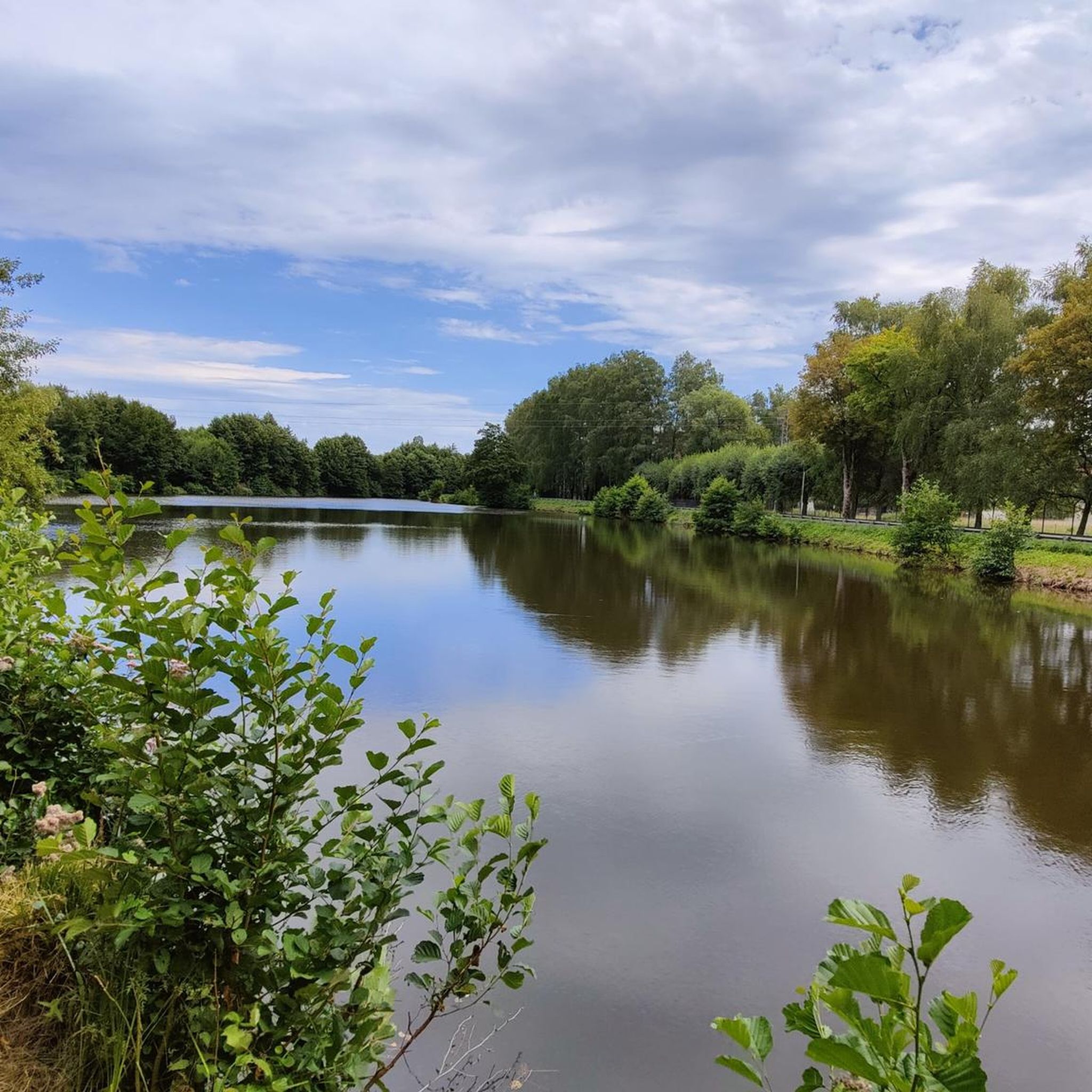
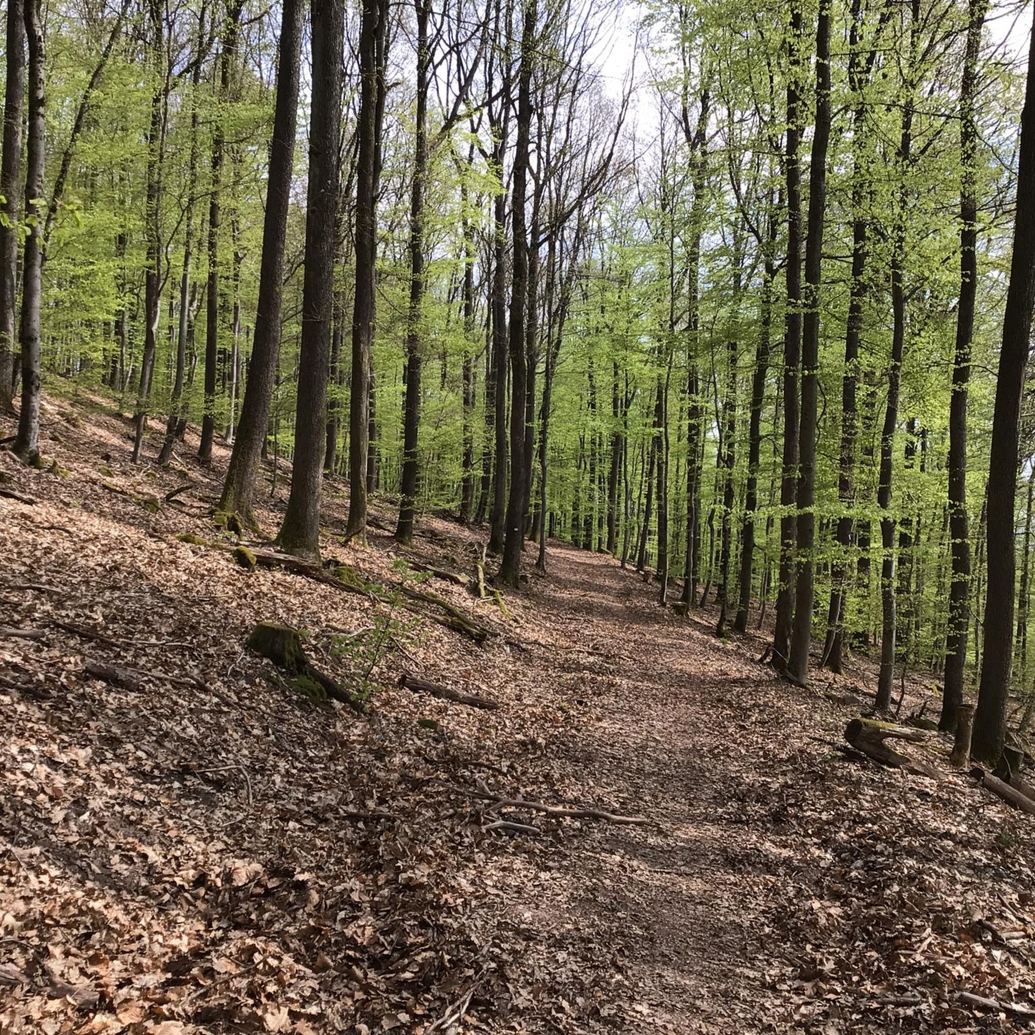
Tips from the Community

The observatory is well located, it allowed us to observe, for example, geese, herons, and carp. Provided we stay quiet, of course. The flora is also very beautiful around the pond
0
0

The small road to the Rosselhof is often used by anglers for parking
0
0

The surrounding area is very scenic, with many historical buildings.
0
0


This shelter is located in the middle of the forest. It's open and can accommodate 8 to 10 people. There are approximately 15 spots available outside.
0
0


A somewhat hidden bunker of the defensive line. You can enter it and look into the individual rooms. The thick, heavy metal doors are always impressive. This bunker is also very clean.
0
0

Frequently Asked Questions
How many gravel bike trails are available around Uhrweiler?
There are over 30 gravel bike trails around Uhrweiler, offering a wide range of options for different skill levels and preferences. These routes explore the diverse landscapes near the North Vosges Regional Natural Reserve.
What kind of terrain can I expect on gravel bike trails near Uhrweiler?
The terrain around Uhrweiler is quite varied. You'll encounter a mix of sandy gravel paths winding through dense forests, as well as smoother paved sections, including routes that follow the Sauer River. This combination provides both challenging off-road experiences and more relaxed stretches.
Are there any beginner-friendly gravel bike trails in the Uhrweiler area?
Yes, Uhrweiler offers several routes suitable for beginners. There are 4 easy trails available, perfect for those new to gravel biking or looking for a more relaxed ride. These routes allow you to enjoy the natural scenery without overly demanding technical sections.
Can I find challenging gravel bike routes around Uhrweiler?
Absolutely. For experienced gravel bikers seeking a challenge, there are 15 difficult routes available. These trails often feature significant elevation changes and varied terrain, such as the Lichtenberg Castle – Heidenkopf Viewpoint loop from Niederbronn-les-Bains, which includes over 1000 meters of elevation gain.
Are there any gravel bike routes that pass by historical sites or landmarks?
Many routes in the Uhrweiler area integrate historical sites into the ride. For instance, the Jaegerthal Ironworks Ruins – Ruins of the Jaegerthal forge loop from Zinswiller explores forested areas and historical industrial ruins. Another notable landmark is Lichtenberg Castle, which can be seen on routes like the Lichtenberg Castle – Heidenkopf Viewpoint loop from Niederbronn-les-Bains. You can also visit Lichtenberg Castle directly.
What are some interesting places to see along the gravel bike trails near Uhrweiler?
Beyond the trails themselves, the region boasts several points of interest. You can explore historical sites like Wasenbourg Castle or the impressive Lichtenberg Castle. For natural beauty, consider visiting Grand Wintersberg, a prominent summit in the area. There are also various refuges and huts, such as Eselsplatz Refuge, which can serve as rest stops.
Are there any loop trails for gravel biking around Uhrweiler?
Yes, many of the gravel bike routes around Uhrweiler are designed as loops, allowing you to start and end at the same point. Examples include the Fleckenstein Pond – Ruins of the Jaegerthal forge loop from Niederbronn-les-Bains and the Saegemuehle – Reichshoffen Pond loop from Niederbronn-les-Bains, which offer varied distances and experiences.
What is the best time of year for gravel biking in Uhrweiler?
The region around Uhrweiler is generally enjoyable for gravel biking during spring, summer, and autumn. These seasons offer pleasant weather for exploring the forested paths and open landscapes. While winter biking is possible, be prepared for colder temperatures and potentially muddy or icy conditions on some trails.
What do other gravel bikers say about the trails in Uhrweiler?
The gravel biking routes in Uhrweiler are highly rated by the komoot community, with an average score of 4.6 stars from over 9 reviews. Many riders praise the diverse terrain, the immersive experience of riding through dense woodlands, and the opportunity to discover historical sites along the way.
Are there any moderate gravel bike trails for intermediate riders?
Yes, for intermediate riders, there are 14 moderate gravel bike trails around Uhrweiler. These routes strike a good balance between challenge and accessibility, often featuring varied terrain and moderate elevation changes. An example is the Blick auf Lichtenberg – Eselsplatz Refuge loop from Lichtenberg.
Is it possible to find routes with good viewpoints in the Uhrweiler area?
Yes, the hilly and forested landscape around Uhrweiler offers several opportunities for scenic viewpoints. The Lichtenberg Castle – Heidenkopf Viewpoint loop from Niederbronn-les-Bains specifically highlights a viewpoint. You can also find the View from the Heidenkopf kiosk, which provides panoramic vistas of the surrounding nature.
Most popular attractions around Uhrweiler

Get inspired with the komoot mobile app


Explore more
Browse the best Gravel rides in other regions.
