The best gravel rides around Port-Des-Barques
4.4
(7)
78
riders
5
rides
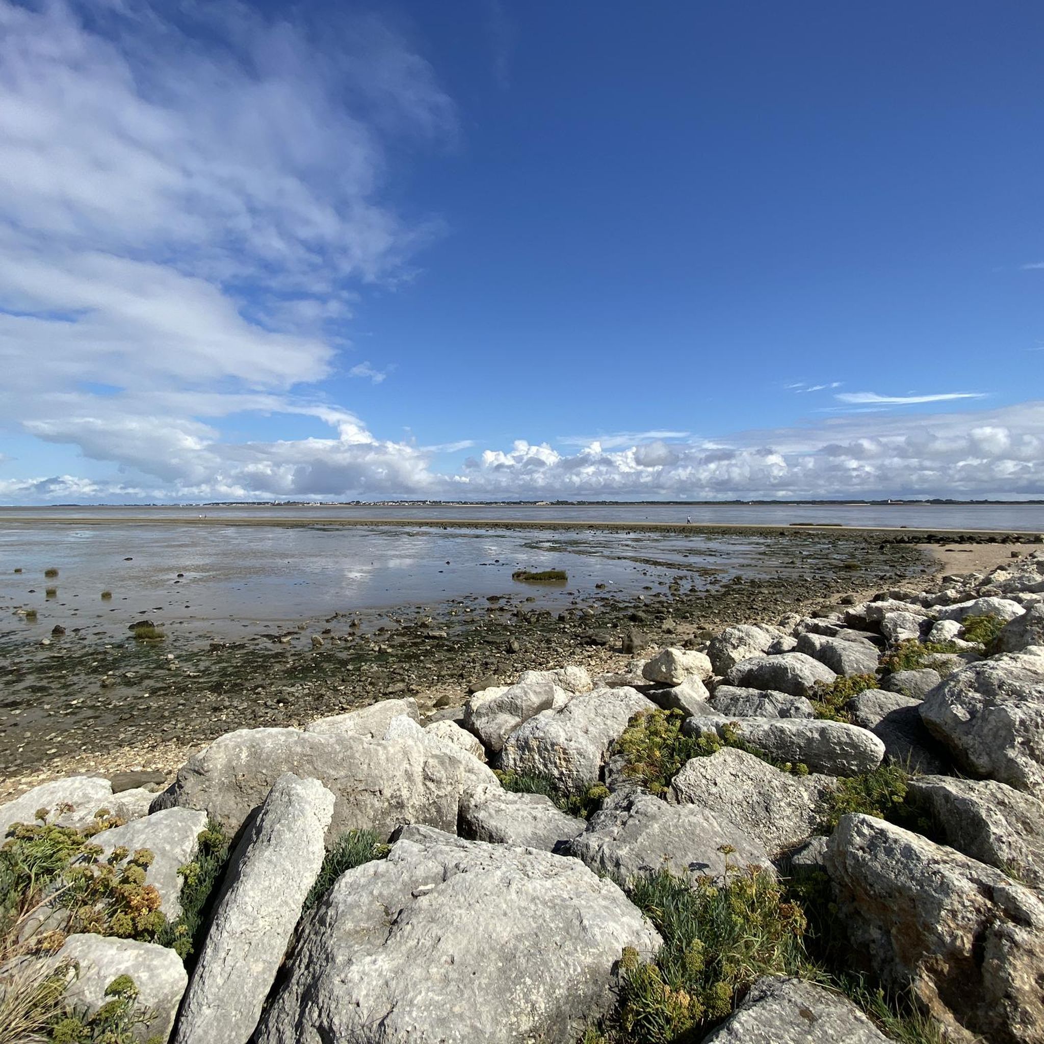
Gravel biking around Port-Des-Barques offers diverse terrain, blending coastal paths with the natural features of the Charente Estuary. The region is characterized by its unique connection to Île Madame, accessible at low tide, and a network of routes through marshlands and forests. This area provides varied landscapes for gravel cyclists, from seaside paths to trails exploring the local oyster farming heritage.
Best gravel bike trails around Port-Des-Barques
- The most popular gravel bike trail is Chemin de la Charente – Royal…
Last updated: August 27, 2026
4.5
(2)
22
riders
29.6km
01:29
60m
60m
Easy gravel ride. Great for any fitness level. Mostly paved surfaces. Suitable for all skill levels.
4.0
(2)
21
riders
Hard gravel ride. Very good fitness required. Mostly paved surfaces. Suitable for all skill levels.

Sign up for free
4.0
(2)
12
riders
55.9km
03:09
140m
140m
Moderate gravel ride. Good fitness required. Mostly paved surfaces. Suitable for all skill levels.
11
riders
Easy gravel ride. Great for any fitness level. Mostly paved surfaces. Suitable for all skill levels.
5.0
(1)
12
riders
Easy gravel ride. Great for any fitness level. Mostly paved surfaces. Suitable for all skill levels.
Our route recommendations are based on thousands of hikes, rides, and runs completed by other people on komoot.
Start today with a free account
Your next adventure awaits.
Login or Signup
Tips from the Community

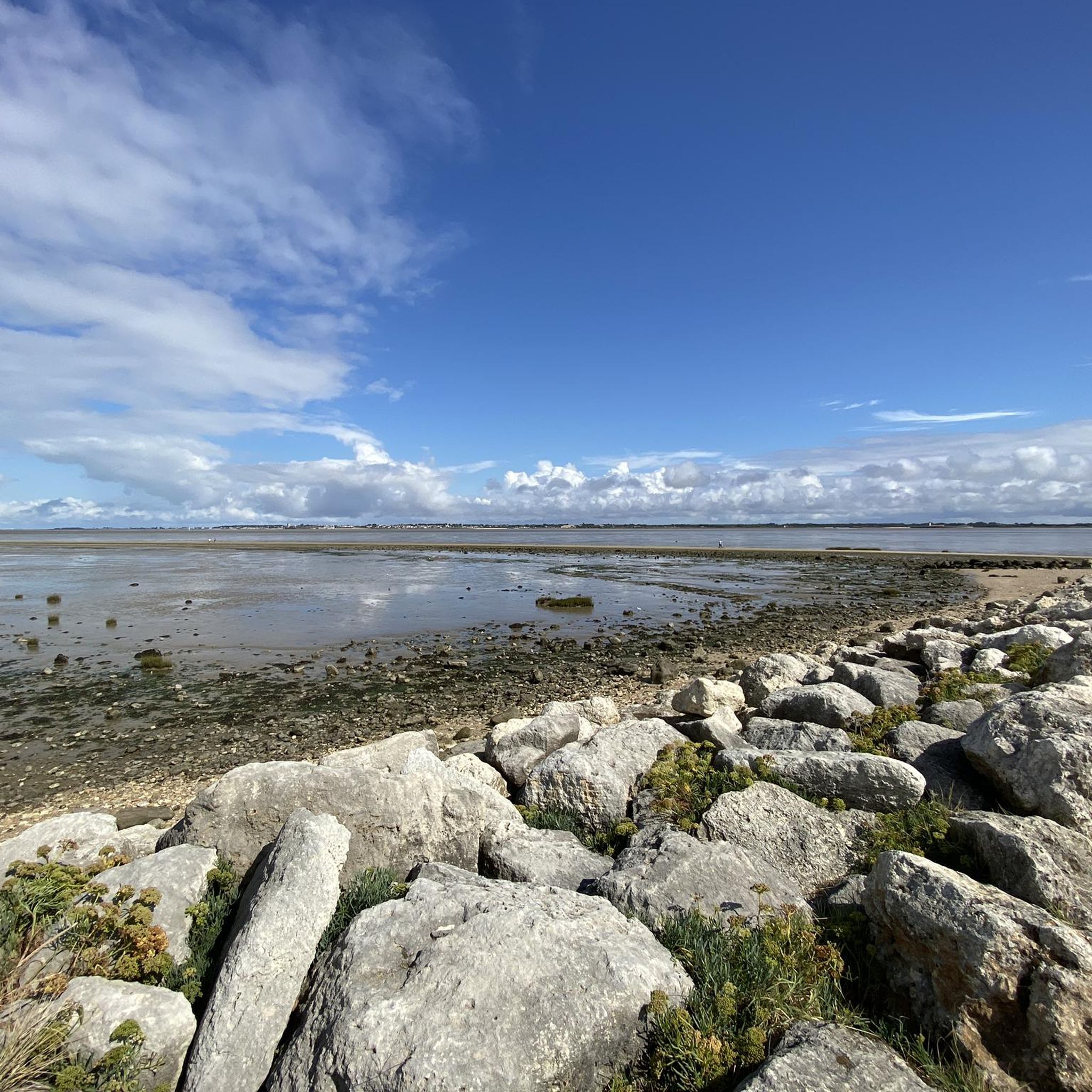
Large, pleasant beach safe for swimming (no risk of currents or "baïnes"). The water is a little warmer here than on the other beaches in the region, especially with low tide around midday. Depending on the season and weather, you might encounter kite enthusiasts (including the Kite Festival) and kitesurfers.
0
0

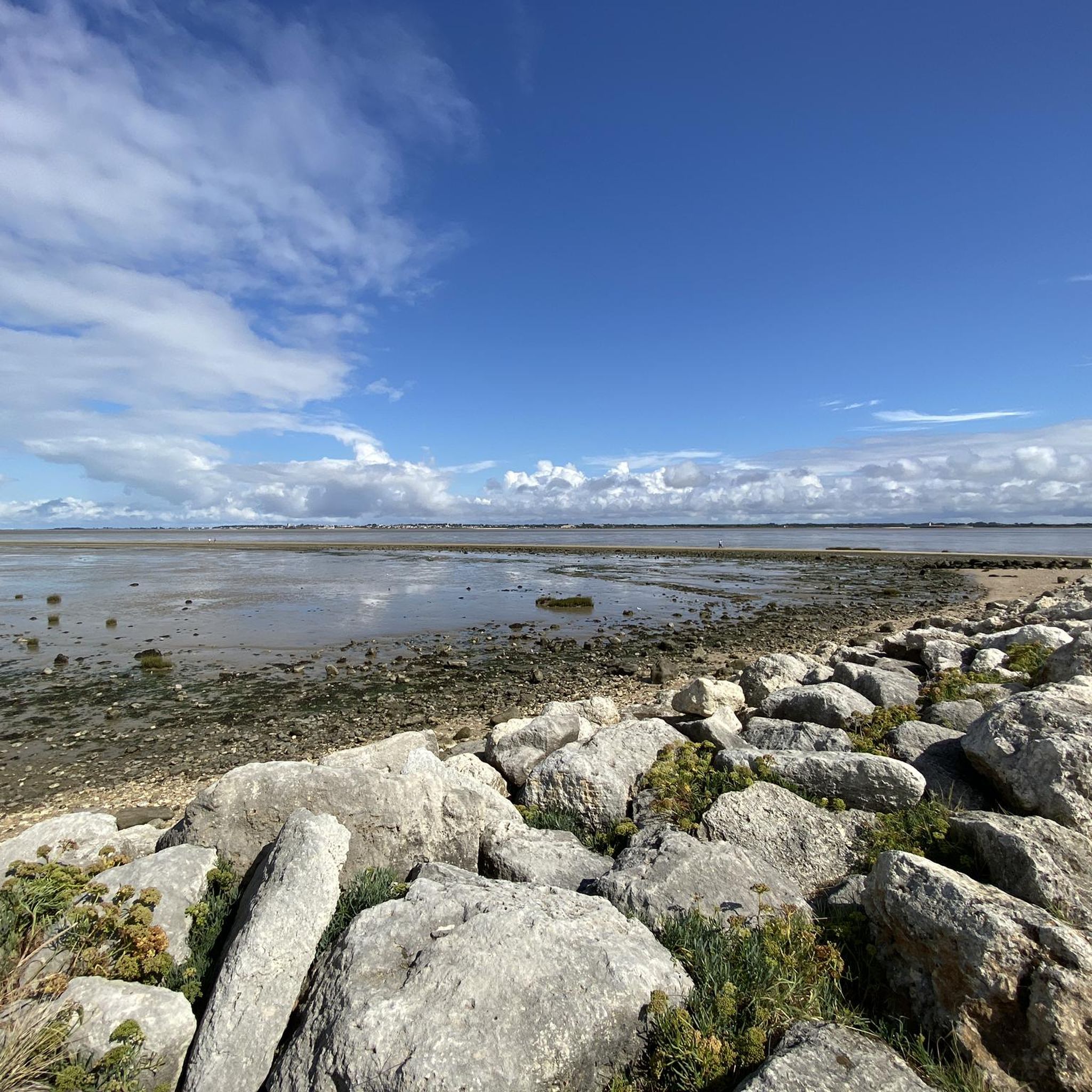
Perfectly accessible on foot or by bike from the Port du Douet parking lot, this beach is sublime like all those on the island of Oleron
0
0
The port of Douhet, located in the commune of Saint-Georges-d’Oléron, is today a pleasant marina, but its history is intimately linked to the salt and wine trade. Origins Until the 19th century, the region's products (notably salt from the salt marshes and wine from Oléron) were difficult to transport by sea. To remedy this, a vast project was launched in the 1840s: a channel over 3 km long was dug between Saint-Georges-d’Oléron and the ocean, opening onto the new port of Douhet. An active commercial port The port quickly became an export center: * barges loaded salt and wine barrels there; * boats also brought building materials and various goods intended for the island. In the 1870s, there were around 400 ship movements per year, with several thousand tons of goods imported and exported. The decline At the end of the 19th century, several factors led to its decline: * the gradual abandonment of the salt marshes; * the improvement of roads and then the arrival of the tram on the island; * the regular silting up of the channel. After the First World War, the channel silted up almost completely and commercial traffic gradually disappeared. The revival In the late 1980s, the basin was completely rehabilitated and transformed into a marina. It now accommodates around 350 to 400 boats and is one of the main marinas on the island of Oléron. Its location, in the cove of Malconche, offers a remarkable view of Fort Boyard and the Île d’Aix. The old channel, although no longer navigable to the village, continues to supply seawater to the old salt marshes and today constitutes a pleasant walking or cycling route. It is a place where the traces of Oléron's maritime past can still be read in the landscape: the quays, the bridge, the channel, and the old hydraulic structures bear witness to the era when salt was the island's main wealth.
0
0

Only for sporty MTB or gravel cardio outings, not at all for a relaxed ride. Be careful, after the metal barriers it's dredge soil (= mud in wet weather or rough, unrideable terrain when dry) and a monotonous high grass path. Personal opinion for local explorers, this western part of the canal is just a useless leg-breaker, prefer the secondary roads and paths in the marshes to the east to continue to be amazed.
0
0

pretty seaside resort, very charming where life is good 🚶🏻♀️🚶♂️😍☀️🏊♀️🏊♂️
0
0

Enjoy cycling in this remarkable dune forest, covering almost 700 hectares. It's the result of a large-scale reforestation campaign in the 19th century, aimed at halting the dune advance, which was gradually encroaching on villages.
1
0

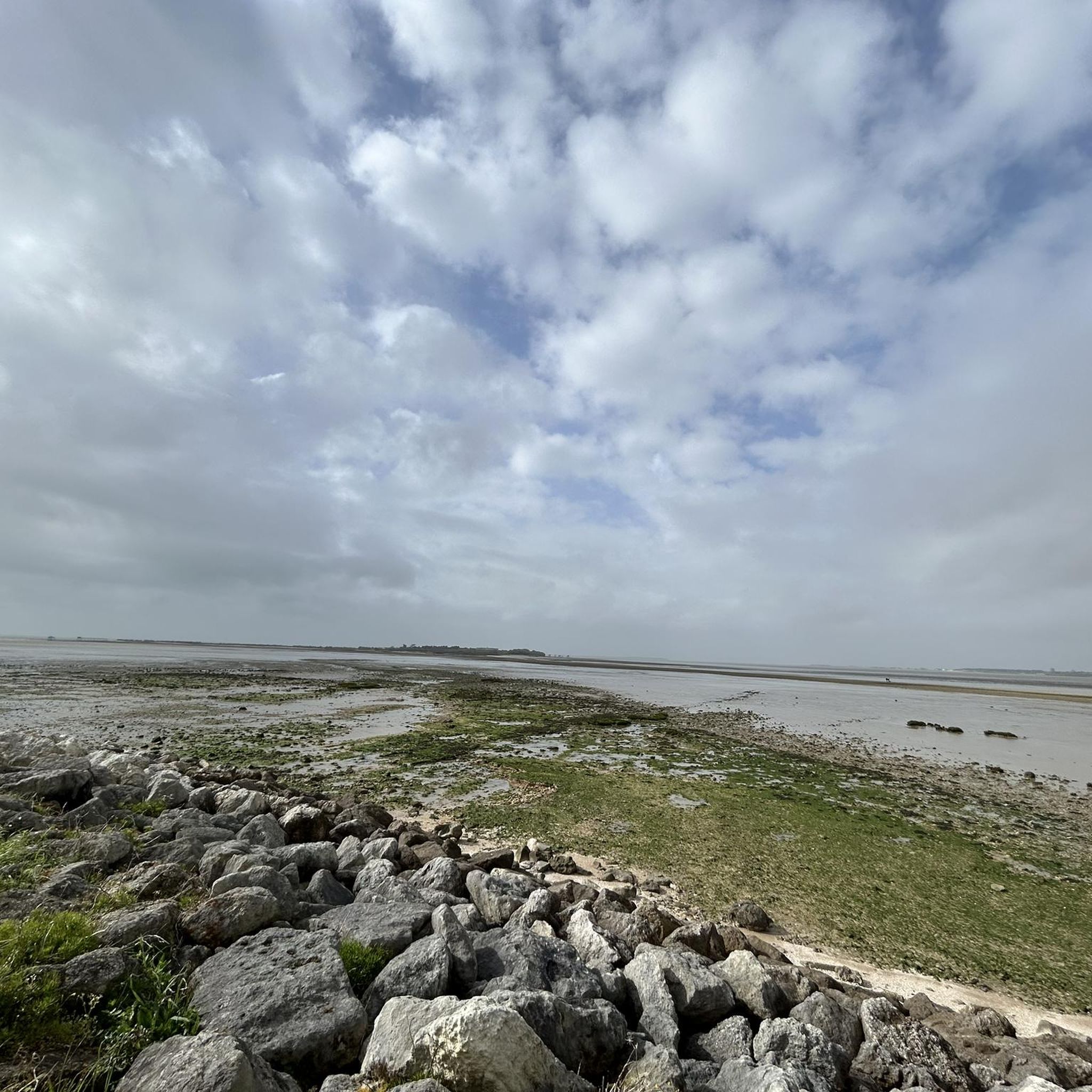
Passage through the marshes, perfect for bird watching.
0
0
Frequently Asked Questions
How many gravel bike trails are available in Port-des-Barques?
There are over 20 gravel bike trails in Port-des-Barques, offering a variety of experiences for different skill levels. You'll find routes ranging from easy coastal paths to more challenging explorations through marshlands and forests.
What kind of terrain can I expect on gravel bike trails in Port-des-Barques?
The terrain is quite diverse, blending coastal paths with natural features of the Charente Estuary. You can expect seaside paths, routes through marshlands, farmland, and even forested sections. A unique feature is the connection to Ile Madame, accessible at low tide via a natural tombolo.
What do other gravel bikers enjoy most about the trails in Port-des-Barques?
The area is highly rated by the komoot community, with an average score of 4.4 stars from nearly 40 reviews. Many riders appreciate the varied landscapes, from the unique coastal scenery around Ile Madame to the tranquil marshlands and views of the Charente Estuary. The historical landmarks and charming fishing villages also add to the experience.
Are there options for different skill levels, including challenging routes?
Yes, the routes in Port-des-Barques cater to various abilities. There are 5 easy routes perfect for beginners or a relaxed ride, 10 moderate routes for those looking for a bit more challenge, and 6 difficult routes for experienced gravel bikers seeking a more demanding adventure. For a challenging option, consider The Transporter Bridge – Rochefort Transporter Bridge loop from Saint-Laurent-de-la-Prée - Fouras, which covers over 120 km.
What interesting landmarks or attractions can I see along the gravel bike routes?
Many routes offer views of significant landmarks. You can cycle past the historic Rochefort Transporter Bridge, explore the Brouage Citadel, or discover the distinctive Fishing Huts (Les Carrelets) on stilts. The region also has an Ecomuseum dedicated to oyster farming, reflecting the local heritage.
Can I find family-friendly gravel bike routes in Port-des-Barques?
Yes, there are several easy routes suitable for families. The coastal paths and less challenging sections of the marshlands provide a gentle introduction to gravel biking. The unique experience of cycling to Ile Madame at low tide can also be a memorable family adventure, though checking tide times is essential.
Are there any circular gravel bike routes in the area?
Many of the gravel bike routes in Port-des-Barques are designed as loops, allowing you to start and finish at the same point. Examples include The Transporter Bridge – Rochefort Transporter Bridge loop from Brouage and Saumonards State Forest – Chenal du Douhet loop from Réserve Intégrale, which offer varied scenery.
What is unique about cycling to Ile Madame?
Cycling to Ile Madame is a unique experience as it's connected to the mainland by the 'Passe aux Boeufs,' a natural tombolo only accessible at low tide. This allows you to bike across to the 70-hectare island, exploring its marshland, farmland, and wide foreshore, offering a sense of isolation and rich natural beauty. Always check tide times before planning your trip.
What wildlife might I encounter on the trails?
The marshlands and natural areas around Port-des-Barques are rich in wildlife. You might spot rare animal species like the European pond turtle, otter, stork, and marsh harrier, especially in areas like Hiers-Brouage. Ile Madame is also a listed natural site with diverse flora and fauna.
What is the best time of year for gravel biking in Port-des-Barques?
The region is generally pleasant for cycling for much of the year. Spring and autumn offer milder temperatures and beautiful scenery, ideal for exploring. Summer can be warm, but coastal breezes often make it enjoyable. Winter rides are possible, but checking local conditions is advisable, especially for marshland routes.
Are there any routes that offer great viewpoints?
Absolutely. Many routes along the coast and around the Charente Estuary provide incredible panoramic views of the estuary, nearby islands, and historical forts. The paths leading to and around Ile Madame also offer expansive views of the sea and the unique coastal landscape.
Is parking available near the trailheads?
While specific parking details for every trailhead aren't listed, Port-des-Barques and surrounding towns generally offer public parking options. It's advisable to check local maps or information for designated parking areas near your chosen starting point, especially in popular areas or during peak season.
Most popular routes around Port-Des-Barques
Most popular attractions around Port-Des-Barques

Get inspired with the komoot mobile app


Explore more
Browse the best Gravel rides in other regions.
