The best gravel rides around Mollau
4.2
(7)
98
riders
10
rides
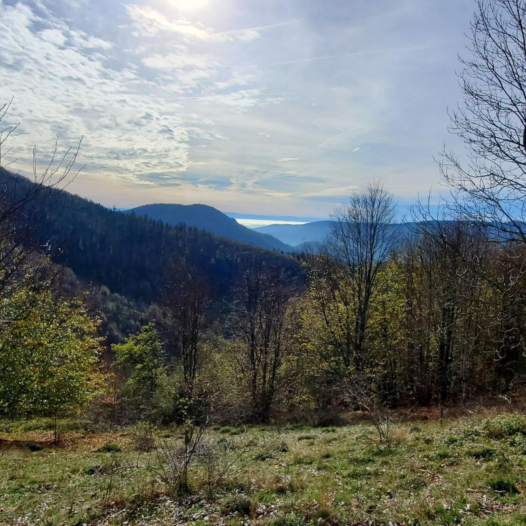
Gravel biking around Mollau offers diverse terrain within the Vosges massif, characterized by lush forests, high-altitude clearings, and significant elevation changes. The region provides a network of trails with varied surfaces, including technical singletracks, loamy sections, and areas with rock faces. Cyclists can expect routes that traverse mountainous backdrops and offer expansive views of the valleys. This area is suitable for gravel bikers seeking challenging climbs and varied natural environments.
Best gravel bike trails around Mollau
- The most popular gravel bike trail is Markstein – Grand Ballon loop from Geishouse, a 40.0 miles (64.4 km) trail that takes 5 hours 26 minutes to complete. This difficult route features substantial climbs towards the Grand Ballon.
- Another top favourite among local gravel bikers is Ballon d'Alsace – Rue du Ballon d'Alsace. loop from Fontaine Minerale, a difficult 20.0 miles (32.2 km) path. This route includes significant elevation gain around the Ballon d'Alsace.
- Local gravel bikers also love the Grand Ballon – Grand Ballon loop from Kruth, a 77.0 miles (124.0 km) trail leading through the mountainous terrain of the Vosges, often completed in about 10 hours 42 minutes.
- Gravel biking around Mollau is defined by its Vosges massif setting, dense forests, and high-altitude clearings. The network provides options for different ability levels, though many routes present a challenging experience.
- The routes in Mollau are highly rated by the komoot community with an average score of 4.3 stars from over 6 reviews. More than 80 gravel bikers have used komoot to explore Mollau's varied terrain.
Last updated: July 3, 2026
3.5
(2)
28
riders
34.4km
02:26
790m
790m
Hard gravel ride. Very good fitness required. Mostly paved surfaces. Suitable for all skill levels.
6
riders
34.5km
02:27
790m
790m
Hard gravel ride. Very good fitness required. Mostly paved surfaces. Suitable for all skill levels.

Sign up for free
11
riders
36.8km
02:55
1,020m
1,020m
Hard gravel ride. Very good fitness required. Mostly paved surfaces. Suitable for all skill levels.
12
riders
109km
08:04
2,810m
2,810m
Hard gravel ride. Very good fitness required. Mostly paved surfaces. Suitable for all skill levels.
5.0
(1)
13
riders
27.1km
02:21
1,040m
1,040m
Hard gravel ride. Very good fitness required. Mostly paved surfaces. Suitable for all skill levels.
Get access to more routes and recommendations from other explorers.
Sign up for free
Already have an account?
Our route recommendations are based on thousands of hikes, rides, and runs completed by other people on komoot.
Start today with a free account
Your next adventure awaits.
Login or Signup

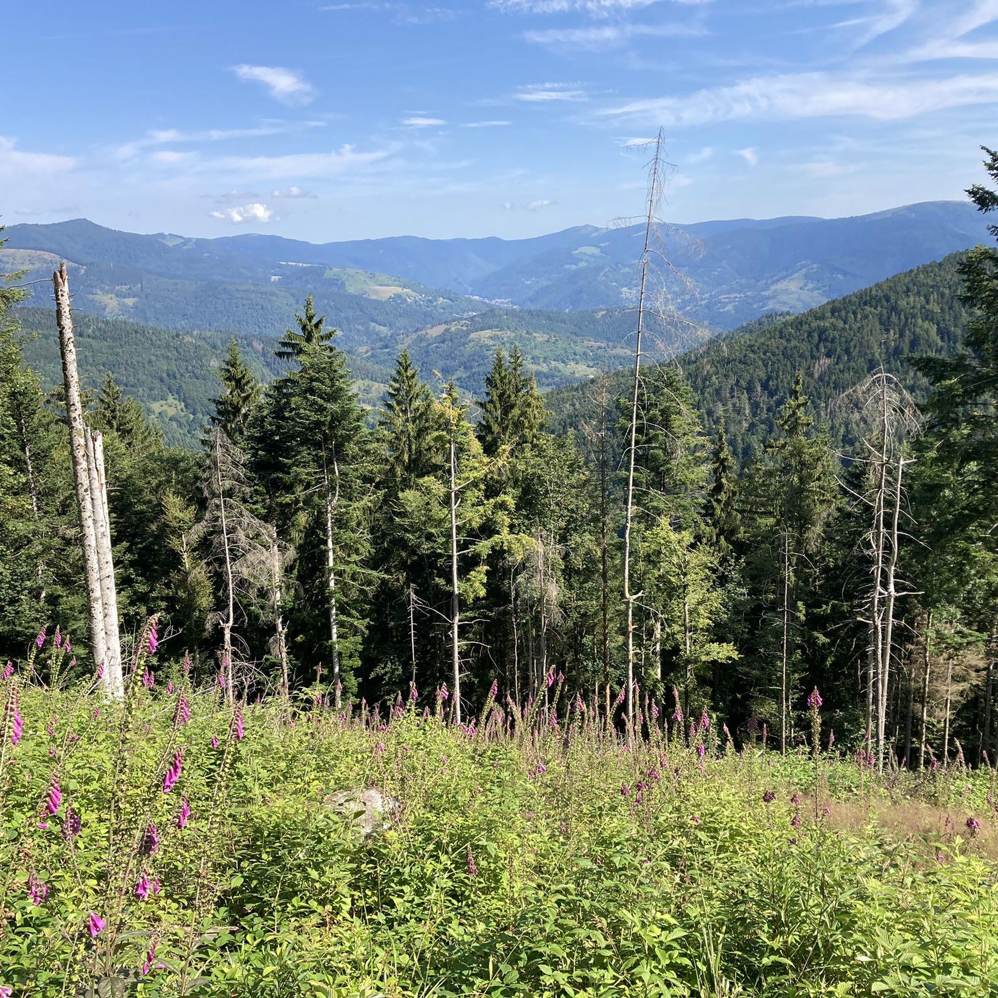
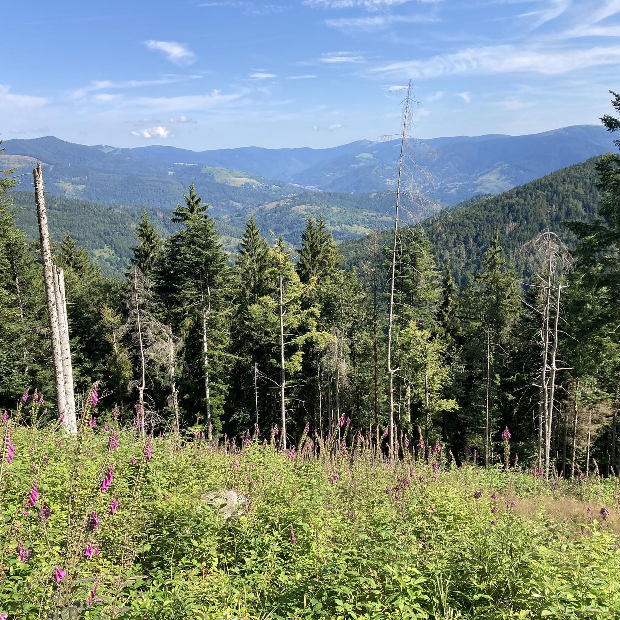
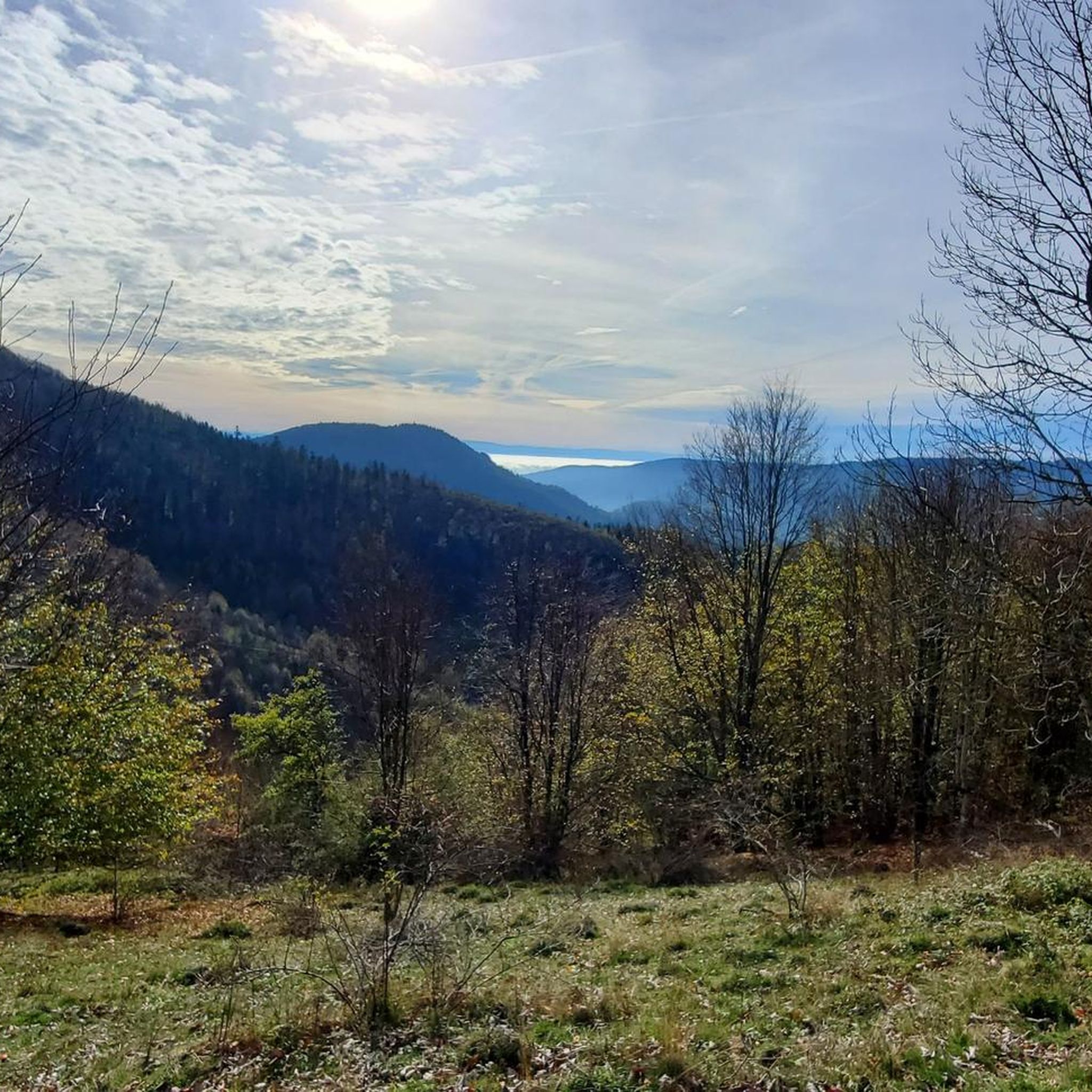
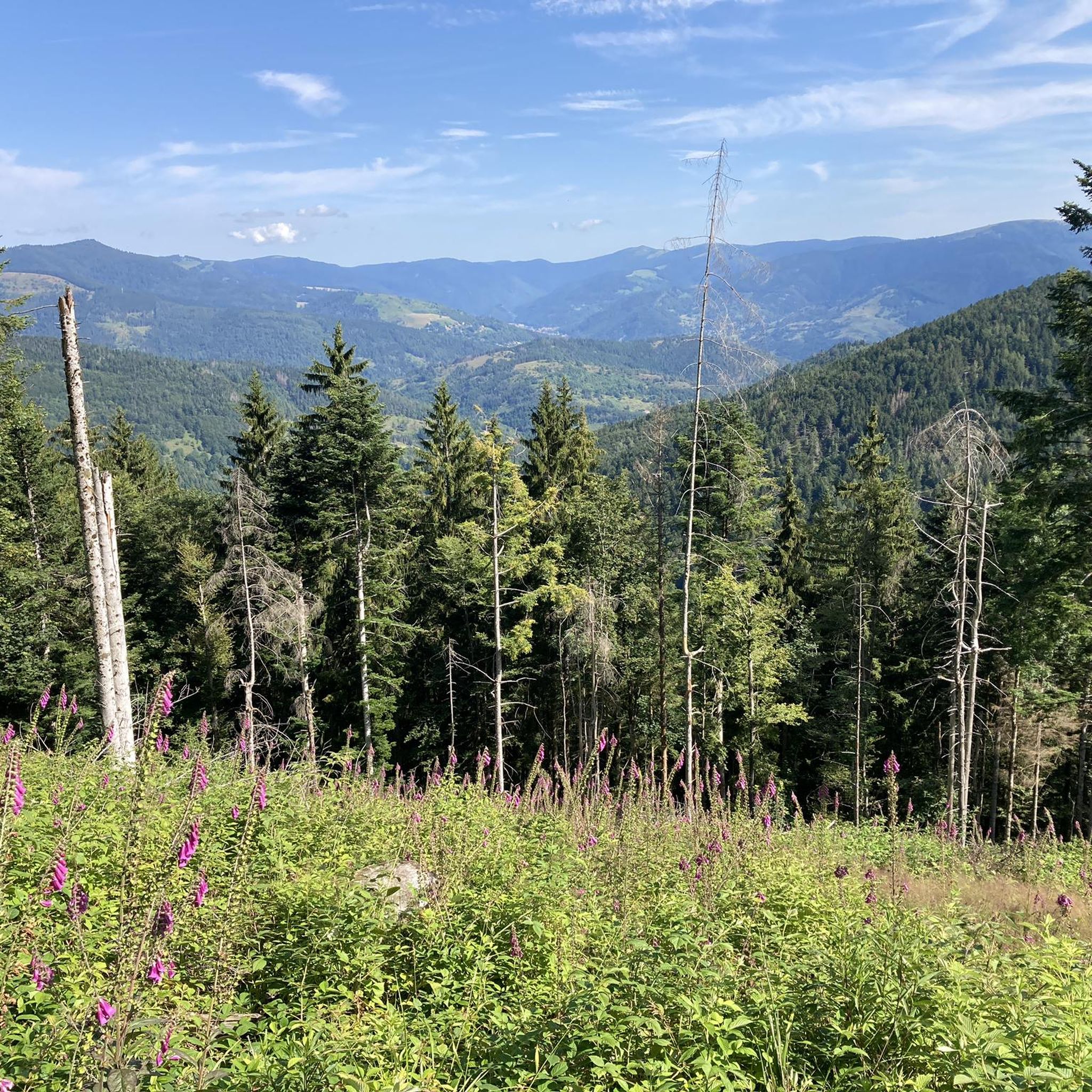

Other adventures around Mollau

Tips from the Community


Lovingly nicknamed "the Autobahn" by me, it leads from Geishouse up to the Col du Haag, and is designed so that there is rarely a gradient over 10%. The Tour de France also rides up here 😬
0
0

Great bike path, best asphalt, steep ramps
0
0

At the pass, the paved Chemin Béry forest road leads to the Col de la Vierge after 2 km and Lac des Corbeaux after 4.5 km. Driving down from the pass towards La Bresse, after 1 km you will reach a fork in the road. Turn right onto the quiet D34 A departmental road, the Route des Américains, which climbs to the Vosges ridge road, the Route des Crêtes. There it joins the Col de Rothenbach with its striking summit. The Route des Américains is 5 km long and has an elevation gain of almost 280 meters.
0
0

It's a dedicated cycle path with a good surface and road markings. There are no cars, despite the winding road. It's a great ride for both ascents and descents, and the scenery is beautiful.
0
0

Absolutely gorgeous, fairly even ride on the plateau of the Route des crêtes! Quite frequented by cars and motorcycle-groups on sunny days (as well).
0
0

Right at the beginning of your bike tour, from the source of the Moselle, you can let it go. It's downhill to the green path (a former railway line). Hands on the brakes!
1
0

A nice climb on a quiet road. But there are repeated steep sections up to 14%. The gradient is actually never below 8%.
1
0
Frequently Asked Questions
How many gravel bike trails are available around Mollau?
Based on komoot data, there are over 20 challenging gravel bike routes in the Mollau area, offering diverse terrain within the Vosges massif.
What kind of terrain can I expect on gravel bike trails near Mollau?
The terrain around Mollau is diverse, featuring technical singletracks, loamy sections, and areas with rock faces. You'll encounter significant elevation changes, traversing mountainous backdrops and dense forests, often leading to high-altitude clearings.
Are there any easy or beginner-friendly gravel bike routes in Mollau?
The gravel biking routes around Mollau are generally considered challenging, with all 22 routes listed in komoot's data rated as 'difficult'. They often involve substantial climbs and varied surfaces, making them more suitable for experienced riders.
What are some notable natural attractions or viewpoints along the gravel routes?
Many routes offer breathtaking views of the Thur valley and the Plain of Alsace. You can also find majestic landscapes around the Grand Ballon, the highest point of the Vosges, and the splendid Ballon Lake, nestled in a glacial cirque.
Are there any long-distance gravel bike routes in the Mollau region?
Yes, for a longer ride, consider the Grand Ballon – Grand Ballon loop from Kruth. This challenging route spans 77.0 miles (124.0 km) and leads through the mountainous terrain of the Vosges, typically taking over 10 hours to complete.
Can I find circular gravel bike routes around Mollau?
Yes, many of the gravel routes in the area are loops. For example, the Markstein – Grand Ballon loop from Geishouse is a popular 40.0-mile (64.4 km) circular trail with substantial climbs.
What do other gravel bikers enjoy most about riding in Mollau?
The area is highly rated by the komoot community, with an average score of 4.5 stars from over 20 reviews. Riders often praise the challenging climbs, diverse natural environments, and the stunning panoramic views of the Vosges massif and surrounding valleys.
Are there any specific routes that pass by lakes or water features?
Yes, the Kruth Dam – Lake Kruth-Wildenstein loop from Fellering is a challenging 49.1-kilometer route that takes you past the scenic Lake Kruth-Wildenstein.
What is the best season for gravel biking in Mollau?
Mollau, situated in the Vosges massif, offers beautiful riding conditions during spring, summer, and early autumn when the weather is generally mild and the trails are dry. Winter riding can be challenging due to snow and ice at higher elevations.
Are there any cultural or historical points of interest near the gravel trails?
The region has a rich history, with mentions of 'Mines' in trail names hinting at former mining operations. While specific historical sites directly on gravel trails aren't detailed, the broader area offers cultural attractions like the Parc de Wesserling - Ecomusee Textile and the Musée Serret, which showcases World War I history.
Is public transport available to reach the gravel biking areas around Mollau?
While specific public transport options directly to trailheads for bikes are not detailed, Mollau is nestled within the Vosges massif. It's advisable to check local bus or train services for connections to nearby towns and then plan your ride from there, as direct bike-friendly transport to all trailheads might be limited.
Are there any family-friendly gravel biking options in Mollau?
Given that all listed komoot routes are rated as 'difficult' and feature significant elevation changes and varied terrain, Mollau's gravel biking is generally more suited for experienced riders. For families, it might be better to look for easier, dedicated cycling paths in the valley areas rather than the challenging gravel trails.
Most popular attractions around Mollau

Get inspired with the komoot mobile app


Explore more
Browse the best Gravel rides in other regions.
