The best gravel rides around Cleurie
4.7
(3)
28
riders
7
rides
Gravel biking around Cleurie offers routes through the Vosges mountains, characterized by forested hills, valleys, and mountain passes. The terrain often includes a mix of unpaved roads, forest tracks, and some paved sections connecting natural areas. Elevation changes are common, with routes featuring significant climbs and descents. The region provides a setting for gravel biking that combines natural landscapes with varied surfaces, including the Cleurie river and numerous waterfalls.
Best gravel bike trails around Cleurie
- The most popular gravel bike…
Last updated: July 3, 2026
5.0
(1)
5
riders
Hard gravel ride. Very good fitness required. Mostly paved surfaces. Suitable for all skill levels.
2
riders
33.8km
02:44
960m
960m
Hard gravel ride. Very good fitness required. Mostly paved surfaces. Suitable for all skill levels.

Sign up for free
4
riders
33.6km
02:24
600m
600m
Hard gravel ride. Very good fitness required. Mostly paved surfaces. Suitable for all skill levels.
5.0
(1)
4
riders
45.2km
03:06
800m
800m
Hard gravel ride. Very good fitness required. Mostly paved surfaces. Suitable for all skill levels.
4.0
(1)
4
riders
50.9km
03:57
630m
630m
Hard gravel ride. Very good fitness required. Mostly paved surfaces. Suitable for all skill levels.
Get access to more routes and recommendations from other explorers.
Sign up for free
Already have an account?
Our route recommendations are based on thousands of hikes, rides, and runs completed by other people on komoot.
Start today with a free account
Your next adventure awaits.
Login or Signup
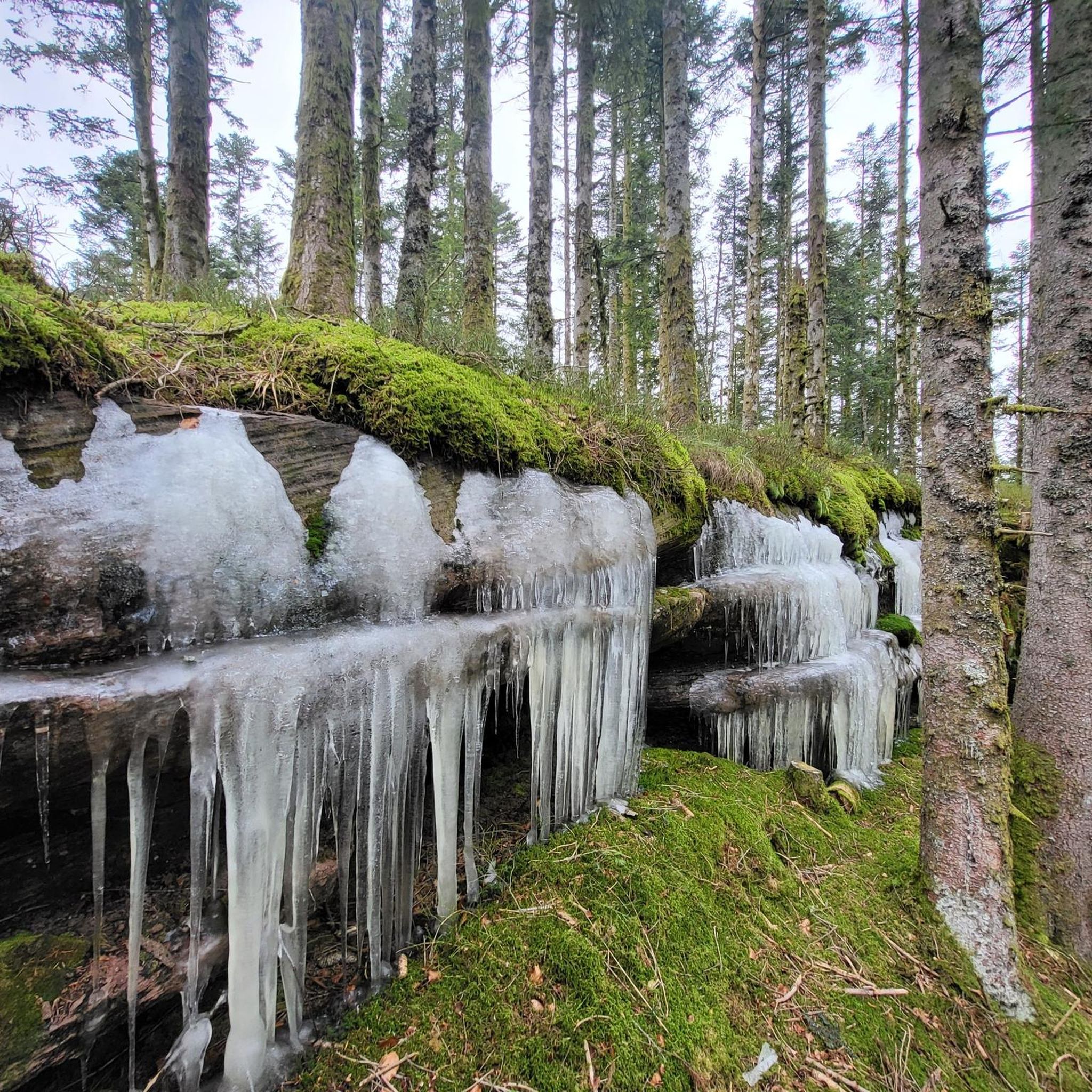
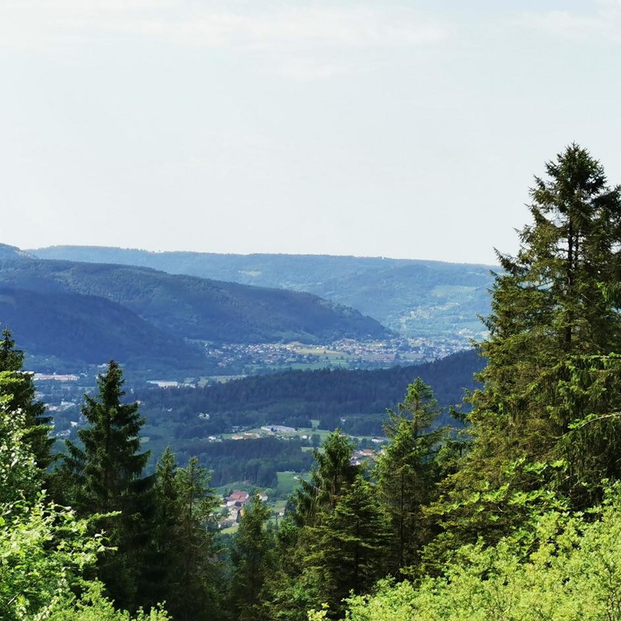
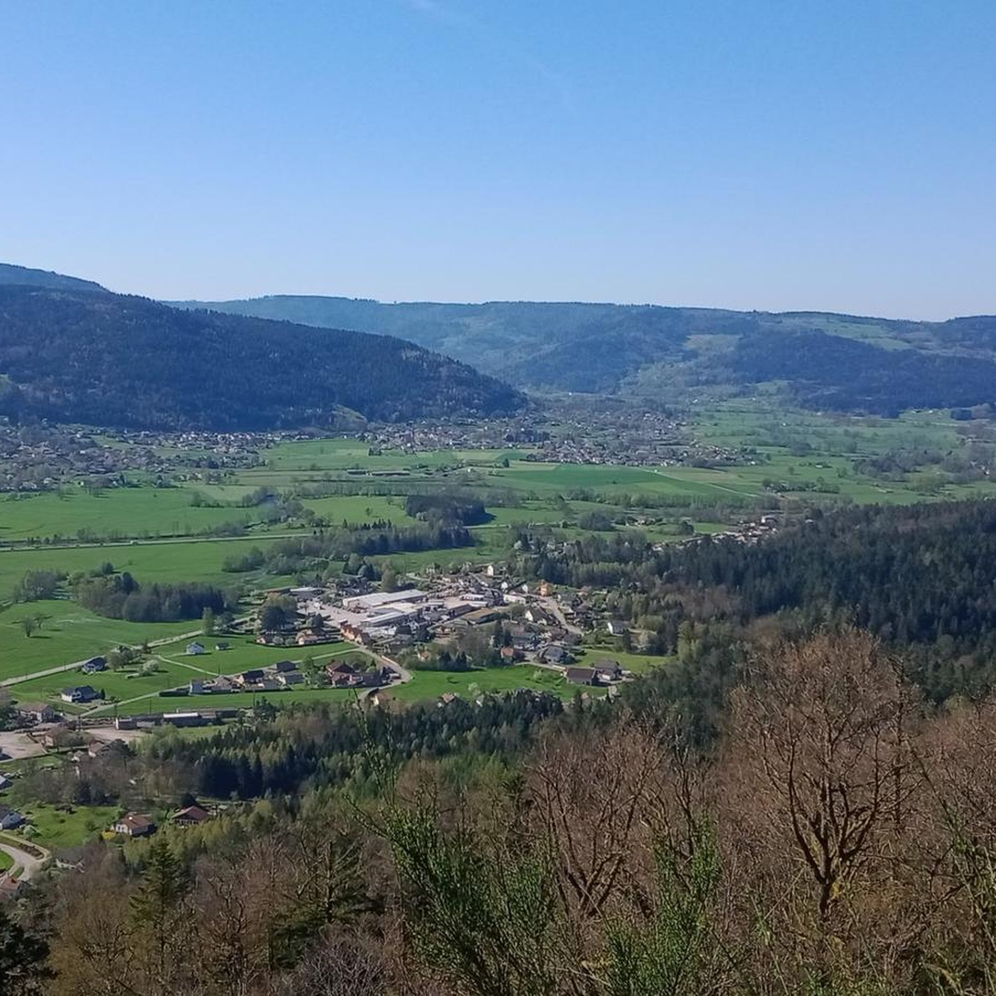
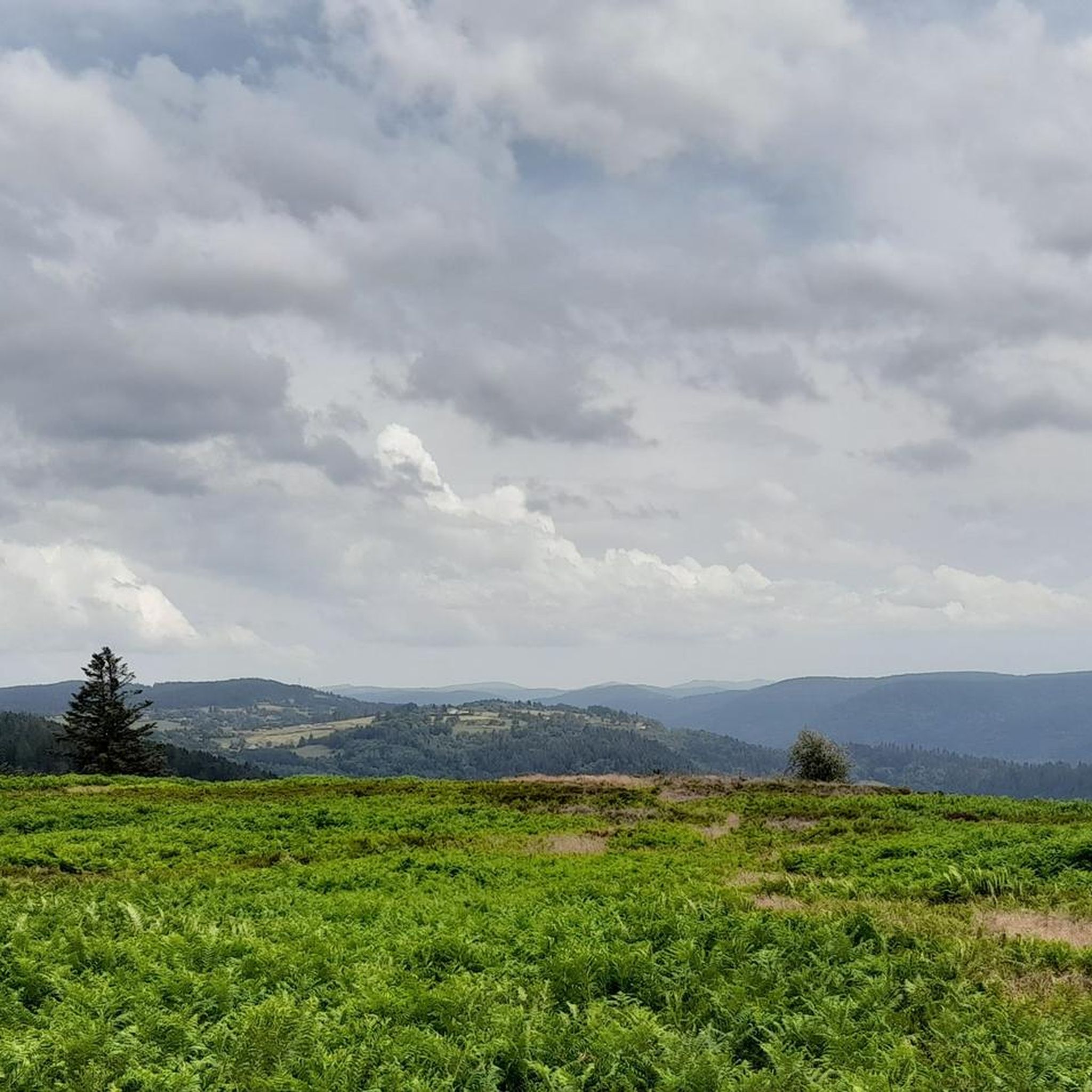
Tips from the Community


Monumental, what a climb
0
0

Easy hike to do with children
0
0

The route is not accessible! It's cordoned off with tape and prohibited.
1
0

The bridge is closed due to the risk of falling.
2
0


Can't call it a lovely city, but you will find places to rest ;)
0
0
Very enjoyable segment. Nicely consistent if ascending with nice views. But even better enjoying the straight downhill. You will be sharing the road with cars, but relatively to a "yellow" street, it is okay.
0
0
Frequently Asked Questions
Are there easy or family-friendly gravel bike trails around Cleurie?
Gravel biking around Cleurie is primarily suited for experienced riders. The network includes 14 difficult routes and only 1 moderate route. There are no easy routes specifically designated for beginners or young families in this area.
What is the typical length and duration of gravel bike routes in Cleurie?
The gravel bike routes in Cleurie vary in length and duration. For instance, the Les Roches de la Moulure – Great Waterfall of Tendon loop from Le Tholy is about 15.9 miles (25.6 km) and typically takes around 2 hours 28 minutes. Longer routes, like the Mont de Fourche Pass – Voie Verte des Hautes Vosges loop from Sapois, can extend to 54.8 miles (88.2 km) and take over 7 hours to complete.
What kind of terrain can I expect on gravel bike trails in the Cleurie region?
The terrain around Cleurie is characteristic of the Vosges mountains, featuring a mix of unpaved roads, forest tracks, and some paved sections. You can expect significant elevation changes with common climbs and descents, offering varied surfaces and natural landscapes.
Are there any circular gravel bike routes available?
Yes, many of the gravel bike routes around Cleurie are designed as loops. An example is the Place des Mesdames Fountain – Statue of the 1792 Volunteer loop from Remiremont, which offers varied terrain over its 18.3 miles (29.5 km) course.
What are some scenic highlights or attractions along the gravel bike trails?
The region boasts several natural attractions. You can encounter impressive waterfalls like the Great Tendon Waterfall or the Mérelle Waterfall. Many routes also offer panoramic views from points such as the View from La Brostille (862 m), showcasing the forested hills and mountain passes.
What is the best time of year for gravel biking in Cleurie?
Given its location in the Vosges mountains, the best time for gravel biking around Cleurie is typically from spring through autumn. During these seasons, the weather is generally more favorable, and trails are less likely to be affected by snow or ice, which can occur in winter.
Where can I find parking for gravel bike trails in Cleurie?
Parking is generally available in the villages and towns that serve as starting points for the routes. For example, routes often begin from locations like Le Tholy, Remiremont, Le Haut du Tôt, or Sapois, where you can usually find suitable parking areas.
What do other gravel bikers say about the routes in Cleurie?
The gravel biking routes in Cleurie are highly regarded by the komoot community, with an average rating of 4.7 stars from 3 reviews. Riders often appreciate the challenging terrain, the scenic beauty of the Vosges mountains, and the varied surfaces that make for an engaging ride.
Are there any routes that go through mountain passes or near lakes?
Yes, the region is known for its mountain passes and proximity to lakes. The Col de Sapois – Lake Gérardmer loop from Le Haut du Tôt is a prime example, leading through mountain passes and offering views near Lake Gérardmer.
How many gravel bike trails are available in the Cleurie area?
There are 15 gravel bike trails available for exploration around Cleurie. The majority of these, 14 routes, are classified as difficult, with one route being of moderate difficulty.
Can I find routes with significant elevation gain in Cleurie?
Absolutely. The gravel bike trails in Cleurie are characterized by significant elevation changes. For example, the Col de Sapois – Grosse Pierre Pass. loop from Rochesson features over 3,150 feet (960 meters) of elevation gain, providing a challenging experience for riders.
Most popular attractions around Cleurie

Get inspired with the komoot mobile app


Explore more
Browse the best Gravel rides in other regions.
