The best gravel rides around Belmont
4.5
(5)
34
riders
13
rides
Gravel biking around Belmont offers diverse trail systems and natural landscapes. The region features multi-use trails and designated gravel sections. It is characterized by rolling hills typical of the Piedmont region and riverfront access along the Catawba River. These features provide varied terrain for gravel cyclists.
Best gravel bike trails around Belmont
- The most popular gravel bike trail is Forest Road Through the Vosges – Super fun trail loop from Rothau, a 18.3 miles (29.5 km) trail that takes…
Last updated: July 3, 2026
5.0
(2)
9
riders
36.2km
02:46
910m
910m
Hard gravel ride. Very good fitness required. Mostly paved surfaces. Suitable for all skill levels.
5.0
(1)
6
riders
29.5km
02:22
710m
710m
Hard gravel ride. Very good fitness required. Mostly paved surfaces. Suitable for all skill levels.

Sign up for free
6
riders
22.9km
01:42
400m
400m
Moderate gravel ride. Good fitness required. Mostly paved surfaces. Suitable for all skill levels.
7
riders
46.8km
03:57
970m
970m
Hard gravel ride. Very good fitness required. Mostly paved surfaces. Suitable for all skill levels.
5.0
(1)
4
riders
31.2km
02:15
650m
650m
Hard gravel ride. Very good fitness required. Mostly paved surfaces. Suitable for all skill levels.
Get access to more routes and recommendations from other explorers.
Sign up for free
Already have an account?
Our route recommendations are based on thousands of hikes, rides, and runs completed by other people on komoot.
Start today with a free account
Your next adventure awaits.
Login or Signup


Tips from the Community

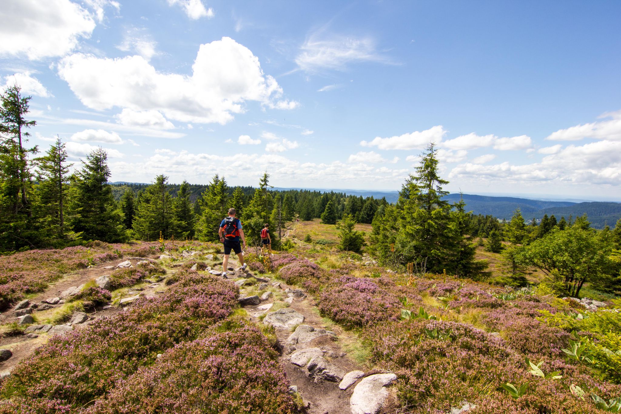
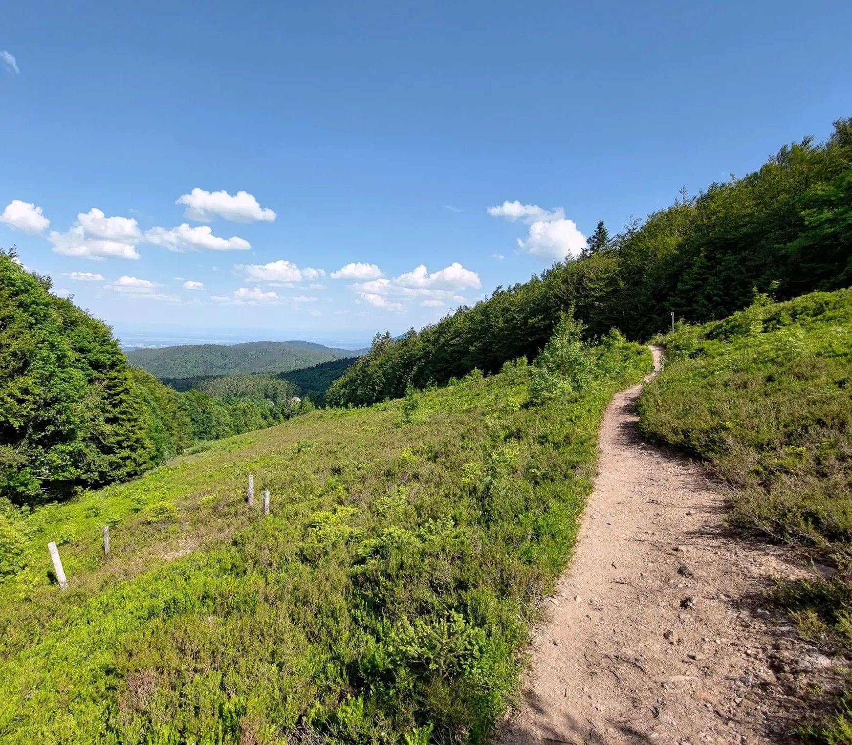
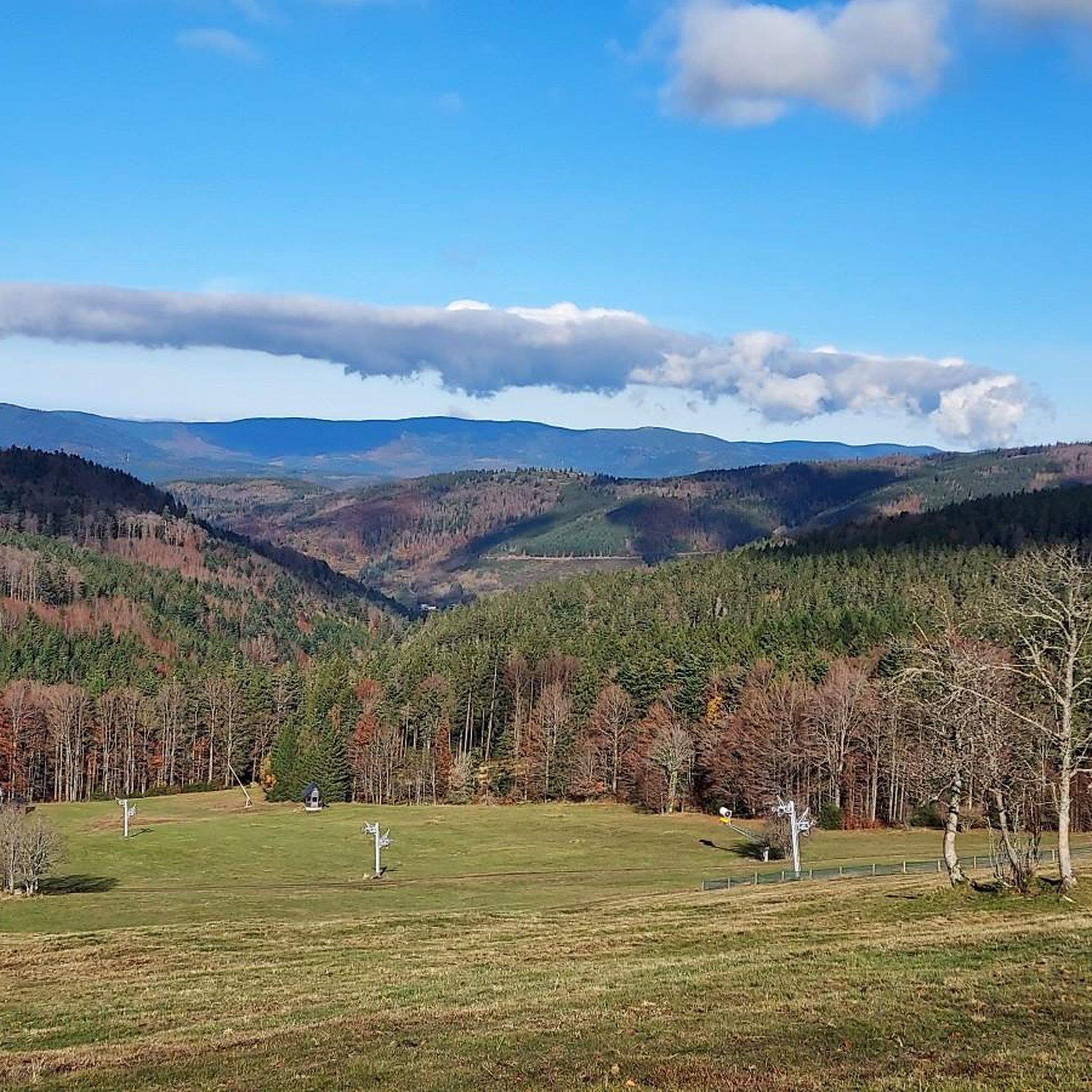
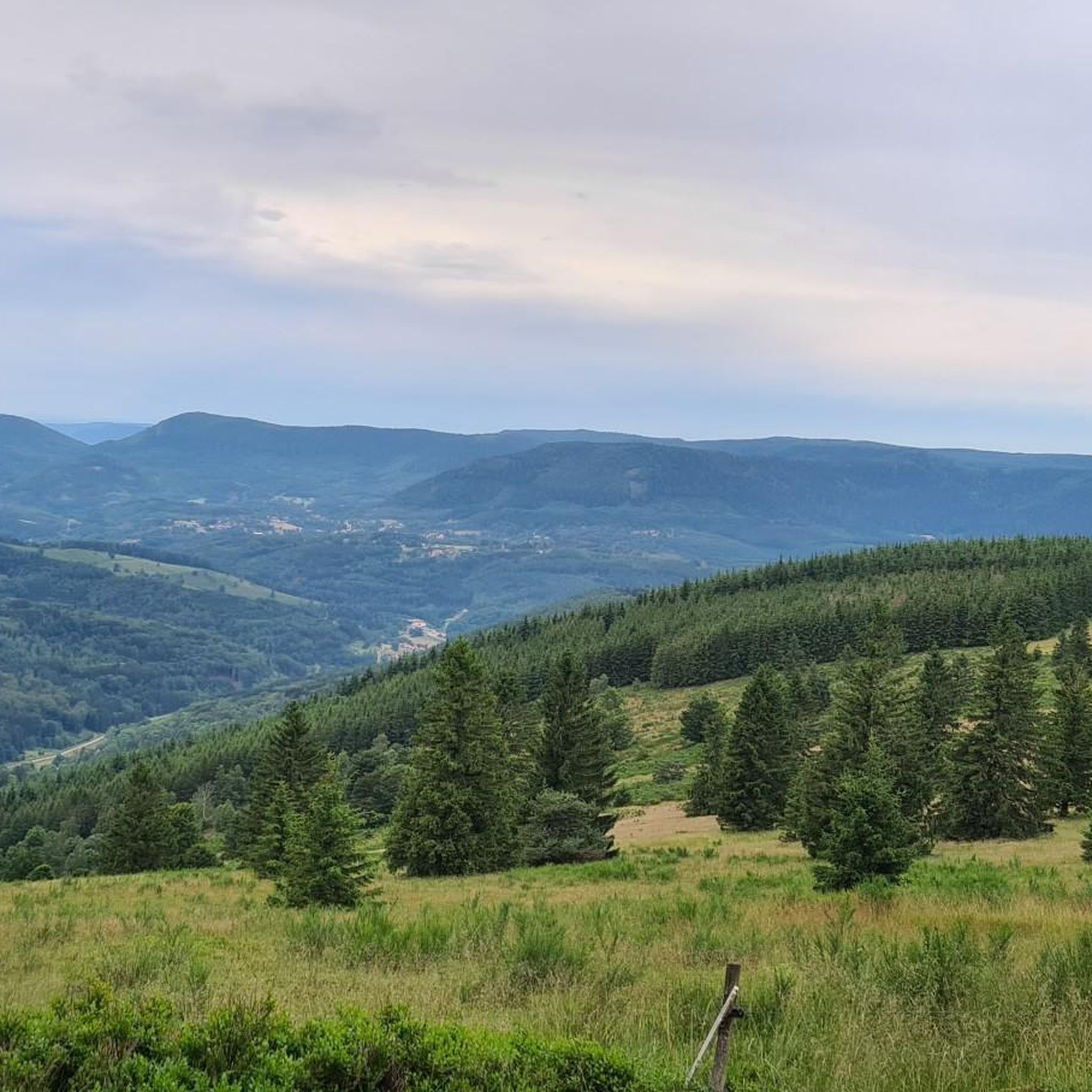
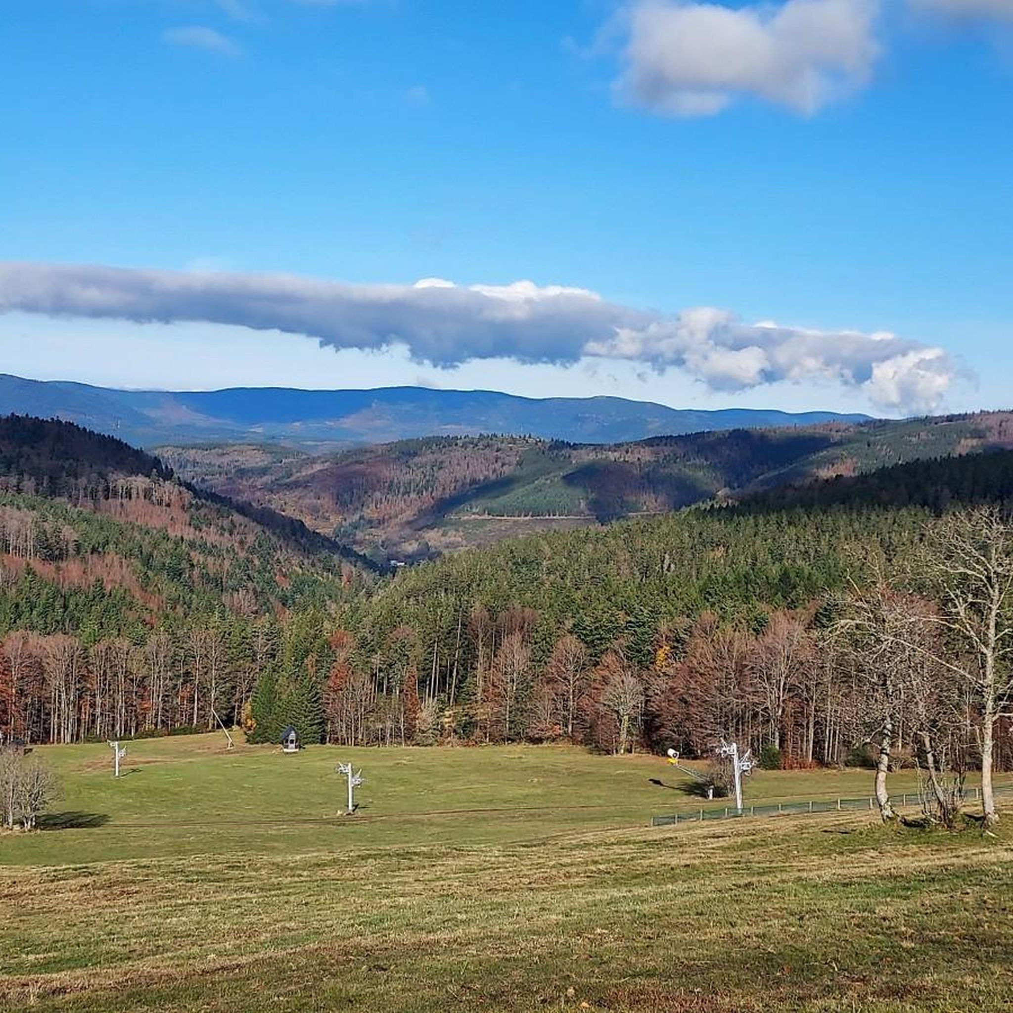
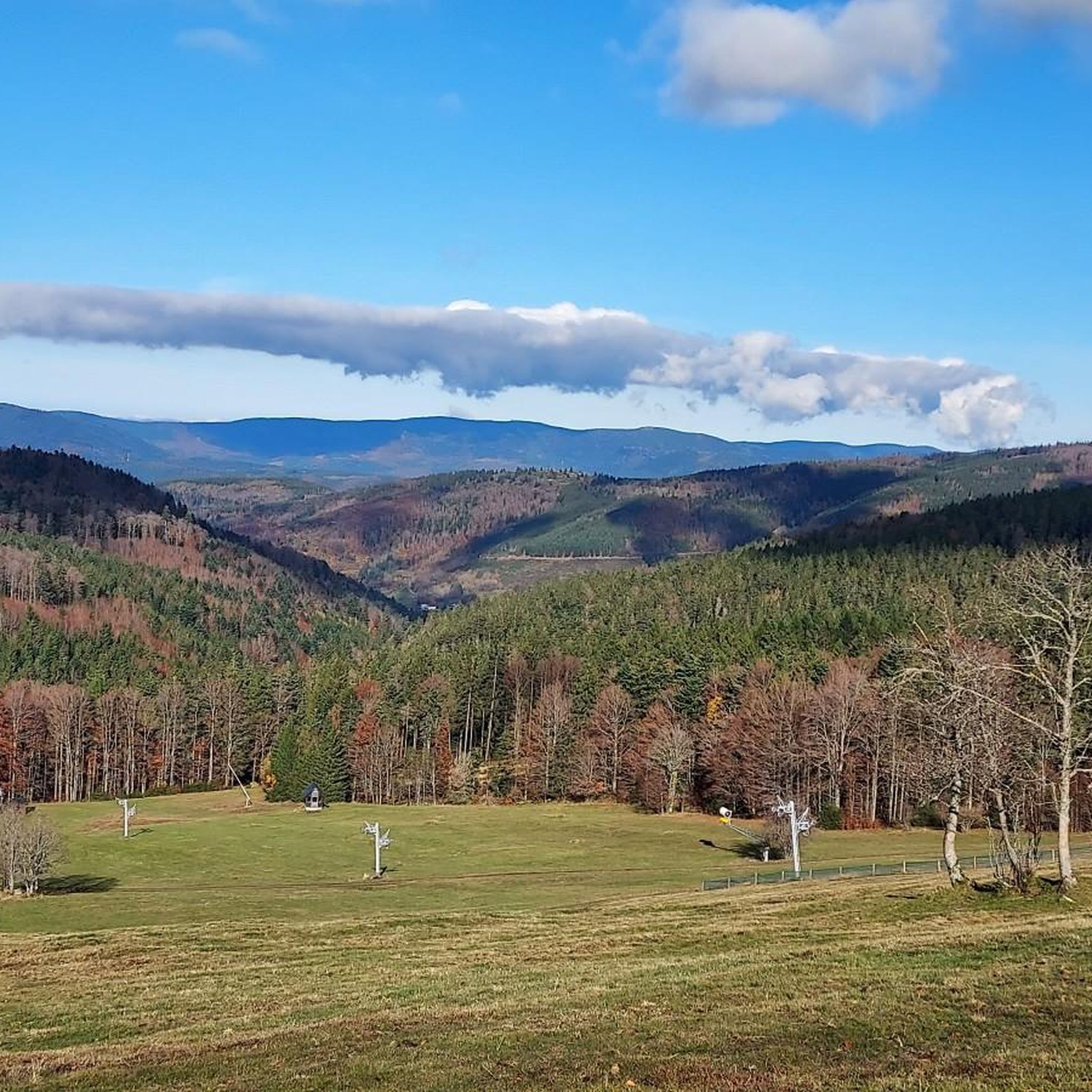
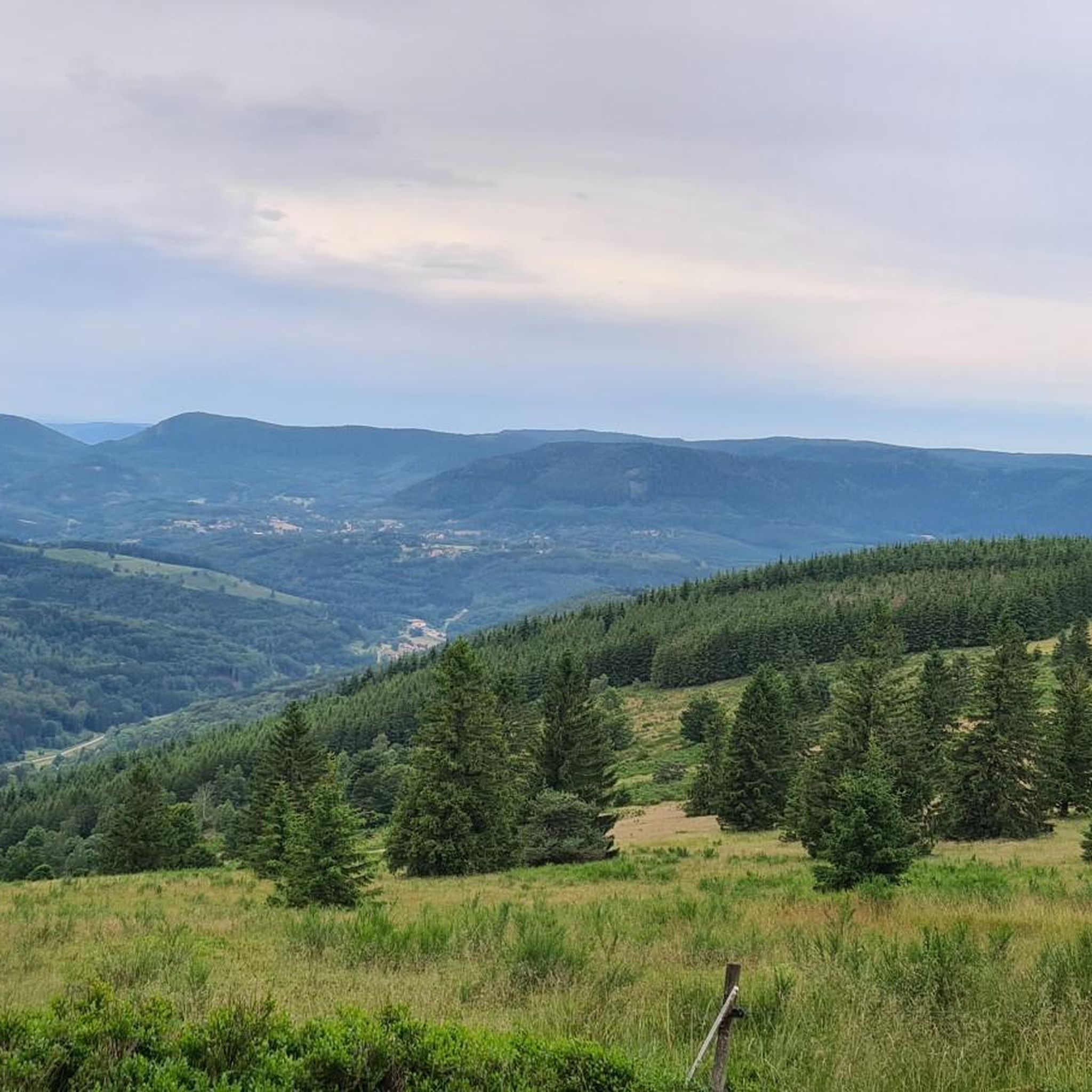
Champ du Feu, at 1099 meters, is the highest mountain in the Bas-Rhin department of the Vosges in Alsace. It lies between the towns of Belmont and Le Hohwald and consists of an extensive high plateau with forests, meadows, and moorlands. The area is a popular nature and recreational area. In summer, it is mainly used for hiking, mountain biking, and nature observation. In winter, there is a small ski area with cross-country trails and simple slopes for winter sports. The brook La Serva originates from Champ du Feu, later forming the Cascade de la Serva. In clear weather, the summit offers wide views over the Vosges, the Rhine plain, and as far as the Black Forest. The area is particularly known for its tranquil nature, high moors, sunrises and starry skies, as well as well-marked hiking trails.
0
0
The Champ du Feu, at 1099 meters, is the highest mountain in the Bas-Rhin department in the Vosges in Alsace. It is located between the towns of Belmont and Le Hohwald and consists of a vast plateau with forests, meadows, and moorlands. The area is a popular nature and recreational area. In summer, it is mainly used for hiking, mountain biking, and nature observation. In winter, there is a small ski area with cross-country trails and simple slopes for winter sports. From the Champ du Feu, the La Serva stream originates, which later forms the Cascade de la Serva. In clear weather, the summit offers wide views over the Vosges, the Rhine plain, and even the Black Forest. The area is particularly known for its quiet nature, high moors, sunrises and starry skies, as well as well-marked hiking trails.
0
0


Beautiful hiking destination, there is also a cycling route
0
0

Beautiful climb and lovely view at the pass - Altitude 728m Restaurants (inns) at the pass
0
0

What a magnificent tree! Unfortunately, it's a little weak on its right flank—but it still welcomes every enthusiastic visitor 🌳
0
0

Rothau played an important role in the valley's religious history, as evidenced by this 19th-century Protestant church. Admission is free.
0
0
Frequently Asked Questions
How many gravel bike trails are available around Belmont?
There are nearly 20 gravel bike routes available around Belmont, offering a variety of experiences for different skill levels. You'll find options ranging from moderate to difficult, with the majority providing a challenging ride.
What kind of terrain can I expect on Belmont's gravel trails?
Belmont's gravel trails feature diverse terrain, from urban trail systems like those in Rocky Branch Park to sections of the broader Carolina Thread Trail network. You can expect mixed-surface paths, including gravel, and natural features such as rock gardens, boardwalks, and berms. The region's rolling hills and riverfront areas also contribute to varied landscapes.
Are there any family-friendly gravel biking options in Belmont?
While many routes in Belmont are rated moderate to difficult, the region does offer multi-use trails that can be suitable for families. For instance, sections of the Carolina Thread Trail and greenways like the South Fork Trail provide mixed gravel and paved pathways along scenic riverfronts, which might offer easier riding experiences. Always check individual route details for suitability.
What are some notable natural features or landmarks I might see while gravel biking in Belmont?
Belmont's gravel routes often pass through scenic natural areas. You can expect views of the Catawba River and its tributary, the South Fork Catawba River. Some trails wind through hardwood forests, offering excellent views of Lake Wylie, especially along paths like the Seven Oaks Preserve Trail. For specific points of interest, consider exploring nearby castles such as Andlau Castle or Rathsamhausen Castle, or enjoy mountain views from Mount Sainte-Odile or Champ du Feu.
Are there any long-distance gravel routes near Belmont for experienced riders?
Yes, for experienced riders looking for a longer challenge, Belmont offers several options. One popular choice is the Col de Fouchy – Haut-Koenigsbourg Castle loop from Breitenbach, which is a difficult 37.8-mile (60.8 km) path. Another challenging route is the Charbonnière Pass – View of Ranrupt loop from Saint-Blaise-la-Roche, covering 48.1 km with significant elevation gain.
What is the best time of year for gravel biking in Belmont?
The Piedmont region of North Carolina, where Belmont is located, generally offers pleasant conditions for outdoor activities for much of the year. Spring and fall typically provide mild temperatures and beautiful scenery, making them ideal for gravel biking. Summers can be warm and humid, while winters are generally mild but can have occasional cold snaps.
Are there any circular gravel routes in the Belmont area?
Yes, many of the gravel routes around Belmont are designed as loops, allowing you to start and end at the same point. For example, the popular Forest Road Through the Vosges – Super fun trail loop from Rothau is an 18.3-mile (29.5 km) circular trail. Another option is the Col de Steige – Salcée Pass loop from Plaine, a 14.2-mile (22.9 km) route.
What do other gravel bikers enjoy most about gravel biking in Belmont?
The komoot community highly rates the gravel biking experience in Belmont, with an average score of 5.0 stars from over 5 reviews. Riders often praise the diverse trail systems, the scenic riverfront access, and the varied terrain that caters to different skill levels. The combination of natural beauty and well-maintained multi-use paths makes it a popular destination.
Are there any routes that offer significant elevation gain for a challenging workout?
Absolutely. Belmont's location in the rolling hills of the Piedmont region means many routes feature substantial elevation changes. For a significant climb, consider the Col de Fouchy – Haut-Koenigsbourg Castle loop from Breitenbach, which includes over 1100 meters of ascent. The Super fun trail – Forest Road Through the Vosges loop from Plaine also offers over 900 meters of elevation gain.
What kind of facilities or amenities can I find near the gravel trails in Belmont?
Belmont is a city with various amenities. Parks like Kevin Loftin Riverfront Park offer picnic areas and tranquil spots by the water, which can be great for post-ride relaxation. While specific cafes or pubs directly adjacent to trailheads aren't detailed, the city of Belmont itself provides dining and accommodation options. Many trail systems are integrated into urban or semi-urban areas, making access to facilities convenient.
Are there specific parks or areas known for gravel biking in Belmont?
Yes, Rocky Branch Park is a prime location, featuring an urban trail system with a 1.25-mile gravel section of the Carolina Thread Trail. This park provides access to various biking zones with beginner, intermediate, and advanced trails. Additionally, sections of the broader Carolina Thread Trail network and the South Fork Trail offer mixed-surface paths suitable for gravel bikes.
Most popular attractions around Belmont

Get inspired with the komoot mobile app


Explore more
Browse the best Gravel rides in other regions.
