The best road cycling routes around Kaiserhammer Forst-Ost
4.4
(252)
2,076
riders
198
rides
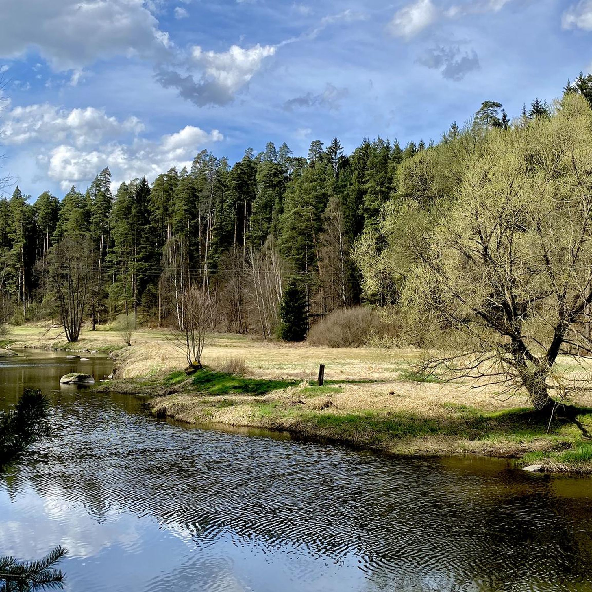
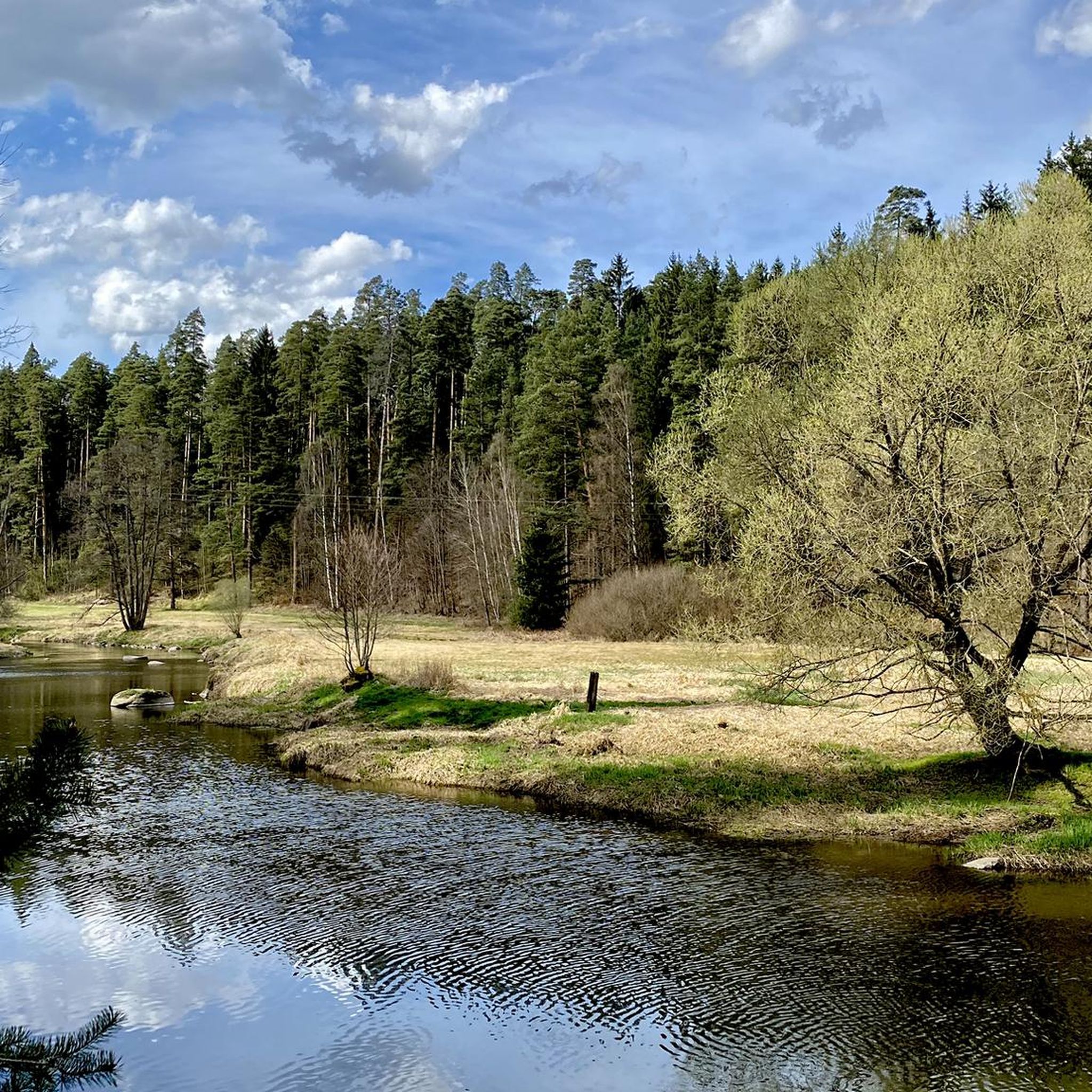
Road cycling routes around Kaiserhammer Forst-Ost are set within the Fichtelgebirge district of Bavaria, Germany, characterized by expansive forest areas and picturesque river valleys. The region offers diverse landscapes and varied topography, providing a scenic backdrop for road cyclists. Routes feature mostly well-paved surfaces, with options ranging from easy to challenging. The Eger river valley contributes to the scenic appeal, offering charming riverside sections.
Best road cycling routes around Kaiserhammer Forst-Ost
- The most popular road cycling route is Selb Town…
Last updated: July 10, 2026
4.1
(7)
89
riders
Moderate road ride. Good fitness required. Mostly well-paved surfaces and easy to ride.
4.0
(6)
52
riders
33.6km
01:35
270m
270m
Easy road ride. Great for any fitness level. Mostly well-paved surfaces and easy to ride.

Sign up for free
4.4
(8)
51
riders
Easy road ride. Great for any fitness level. Mostly well-paved surfaces and easy to ride.
5.0
(1)
31
riders
47.1km
02:14
460m
460m
Moderate road ride. Good fitness required. Mostly well-paved surfaces and easy to ride.
11
riders
55.6km
02:39
580m
580m
Moderate road ride. Good fitness required. Mostly well-paved surfaces and easy to ride.
Get access to more routes and recommendations from other explorers.
Sign up for free
Already have an account?
Our route recommendations are based on thousands of hikes, rides, and runs completed by other people on komoot.
Start today with a free account
Your next adventure awaits.
Login or Signup
Tips from the Community


Hammerschloss in Leupoldsdorf first mentioned in 1395
0
0

😃Quaint pub☕🍰🍺🌭The landlord Dieter is very nice, usually there are old people from Selb and the surrounding area in the pub, in summer there is also a nice beer garden...open Thu.Fri.Sun.Mon.👌
0
0

Unfortunately, the restaurant with beer garden in the Hammerherrenhaus is closed until further notice due to family reasons as a result of the pandemic😥.
1
0

A good idea was implemented there.
1
0

The Dörflaser Brücke in Marktredwitz is a place that appears unassuming at first glance – yet it carries a special geographical significance: it lies exactly on the 50th parallel, an imaginary line that circles the globe and connects places like Prague, Frankfurt, and Vancouver. The fact that this parallel has been made visible right here lends the bridge a quiet symbolic value. A distinctive stone with an inscription points to its location on the 50th parallel – a detail that appeals equally to strollers, hikers, and geography enthusiasts. It makes clear: even in a small town like Marktredwitz, global lines and local paths intersect. The bridge itself spans the Kössein, nestled in a green environment that invites you to linger and reflect. The Dörflaser Brücke is not just a crossing over water, but also a transition between nature and knowledge. It connects the districts, brings hiking trails together, and offers a quiet place to pause. Its proximity to the town's hiking trail and the Winkelmühle makes it a popular stopover for walks with depth. The Dörflaser Brücke on the 50th parallel is a small monument to earthly connection. It shows how global coordinates are inscribed in local landscapes – and how, when crossing a bridge, you suddenly find yourself standing on a world line. The photos show the bridge in its natural surroundings, the marked parallel stone, and the peaceful atmosphere by the water. A place for explorers, strollers, and anyone who wants to experience geography in a very concrete way. https://www.marktredwitz.de/freizeit-und-tourismus/sehenswuerdigkeiten
3
0

Fantastic! Short downhill section with the opportunity to ride the perfect line
0
0

Interesting that the latitude runs exactly at this point.
1
1
Frequently Asked Questions
What kind of terrain can I expect on road cycling routes around Kaiserhammer Forst-Ost?
The region offers a diverse mix of terrains. You'll find routes with mostly well-paved surfaces, especially along river valleys like the Eger, which provide scenic and often flatter sections. However, the Fichtelgebirge district also features varied topography with gentle ascents and more challenging climbs, catering to different fitness levels.
Are there road cycling routes suitable for beginners or those looking for an easy ride?
Yes, Kaiserhammer Forst-Ost has numerous options for easy road cycling. For instance, the Scharfes Eck – Bridge Cycle Path – Bridge Cycle Path in the Selb Valley loop from Birkenbühl is an easy 13.1-mile (21.2 km) path offering a relaxed ride through the scenic Selb Valley. Overall, there are over 25 easy routes available in the area.
What are some natural attractions or landmarks I can see while road cycling in the area?
Road cycling routes in Kaiserhammer Forst-Ost often pass by beautiful natural features. You can explore the picturesque Eger river valley, which is known for its charming riverside sections. Keep an eye out for natural monuments like the impressive Hirschsprung Rock Formation in the Egertal bei Neuhaus nature reserve, or the unique Rocking Stone of the Zigeunersteine. The Feisnitz Reservoir also offers scenic views.
Are there any circular road cycling routes available?
Yes, many of the road cycling routes around Kaiserhammer Forst-Ost are designed as loops, allowing you to start and end at the same point. An example is the Selb Town Church – Bridge Cycle Path in the Selb Valley loop from Egertal bei Neuhaus, a moderate 25.5-mile (41.1 km) route exploring the Egertal bei Neuhaus area.
What do other cyclists say about road cycling in Kaiserhammer Forst-Ost?
The road cycling routes in Kaiserhammer Forst-Ost are highly regarded by the komoot community, holding an average rating of 4.4 stars from over 240 reviews. Cyclists frequently praise the diverse landscapes, well-paved surfaces, and the scenic beauty of the forest areas and river valleys.
Can I find cafes or restaurants along the road cycling routes?
Yes, some routes are designed to include stops at local eateries. For example, the Kleehof Stubn Café – Bräustüberl restaurant loop from Thiersheim is an easy 21.5-mile (34.6 km) trail that specifically incorporates local cafes and restaurants, perfect for a refreshment break.
What is the best time of year for road cycling in Kaiserhammer Forst-Ost?
The Fichtelgebirge region, including Kaiserhammer Forst-Ost, is generally best for road cycling during the warmer months, from late spring through early autumn. During this period, the weather is typically mild, and the forest and river valley landscapes are at their most vibrant. Winter conditions can bring snow and ice, making road cycling less suitable.
Are there any longer or more challenging road cycling routes for experienced riders?
Absolutely. For those seeking a greater challenge, routes like the Sylhhof Boundary Stone – Wurmloh Pass loop from Thiersheim offer a moderate difficulty over 35.6 miles (57.3 km) with significant elevation gain, providing a rewarding experience for advanced cyclists. The region features over 35 difficult routes.
Is it possible to combine road cycling with exploring historical sites like castles?
While the immediate Kaiserhammer Forst-Ost area is known for its natural beauty, the broader Fichtelgebirge region does feature lakes and castles. Some routes might pass near or offer views of historical sites, such as the Leupoldsdorf Hammer Mill Castle – Kleehof Café loop from Thiersheim, which includes a historical landmark.
How many road cycling routes are available in Kaiserhammer Forst-Ost?
There are over 200 dedicated road cycling routes around Kaiserhammer Forst-Ost, offering a wide variety of distances and difficulty levels to explore the Fichtelgebirge district.
What are the typical elevation changes on road cycling routes in this region?
The elevation changes vary significantly depending on the route. While river valley paths offer relatively flat sections, many routes in the Fichtelgebirge district include gentle to moderate ascents and descents. For example, a moderate route like the Selb Town Church – Bridge Cycle Path in the Selb Valley loop from Egertal bei Neuhaus involves around 350 meters of elevation gain.
Most popular routes around Kaiserhammer Forst-Ost
Most popular attractions around Kaiserhammer Forst-Ost

Get inspired with the komoot mobile app


Explore more
Browse the best Road cycling routes in other regions.
