The best gravel rides around Condé-Sur-Suippe
4.0
(1)
11
riders
1
ride
Gravel biking around Condé-Sur-Suippe offers routes through a landscape characterized by gentle terrain and significant waterways. The region's elevation ranges from 51 to 86 meters, providing accessible gravel bike trails without overly challenging climbs. The Aisne and Suippe rivers, along with the Canal latéral à l'Aisne, feature prominently, offering scenic and traffic-free cycling opportunities along towpaths and riverside trails. This area is ideal for nature lovers seeking easy gravel bike trails and tranquil rides.
Best gravel bike trails around Condé-Sur-Suippe
…Last updated: July 3, 2026
2
riders
23.1km
01:46
320m
320m
Moderate gravel ride. Good fitness required. Mostly paved surfaces. Suitable for all skill levels.
1
riders
22.2km
01:40
300m
300m
Moderate gravel ride. Good fitness required. Mostly paved surfaces. Suitable for all skill levels.

Sign up for free
4.0
(1)
4
riders
54.3km
03:34
530m
530m
Hard gravel ride. Very good fitness required. Mostly paved surfaces. Suitable for all skill levels.
1
riders
48.6km
03:49
480m
480m
Hard gravel ride. Very good fitness required. You may need to push your bike for some segments of this route.
1
riders
38.1km
02:40
400m
400m
Moderate gravel ride. Good fitness required. Mostly paved surfaces. Suitable for all skill levels.
Our route recommendations are based on thousands of hikes, rides, and runs completed by other people on komoot.
Start today with a free account
Your next adventure awaits.
Login or Signup

Tips from the Community

This memorial commemorates the residents of Cauroy-lès-Hermonville who were killed or missing in the Great War (World War I) and World War II.
8
0

Église Saint-Rémi in Loivre is a 12th-century church dedicated to Saint Remigius, the Bishop of Reims who baptized King Clovis. The church is Romanesque in style, with a square tower, a three-aisled nave and a choir with a semicircular apse. The church also has some interesting works of art, such as a 16th-century statue of Saint Remigius, a 17th-century painting of the Coronation of the Virgin Mary and an 18th-century organ.
8
0
Loivre is a commune in the Marne department in northeastern France. Loivre has a railway station with connections to Reims and Laon. Loivre is located near the Chemin des Dames, a historic route that witnessed several battles during World War I. Loivre also has a 12th-century church dedicated to Saint-Martin.
9
0
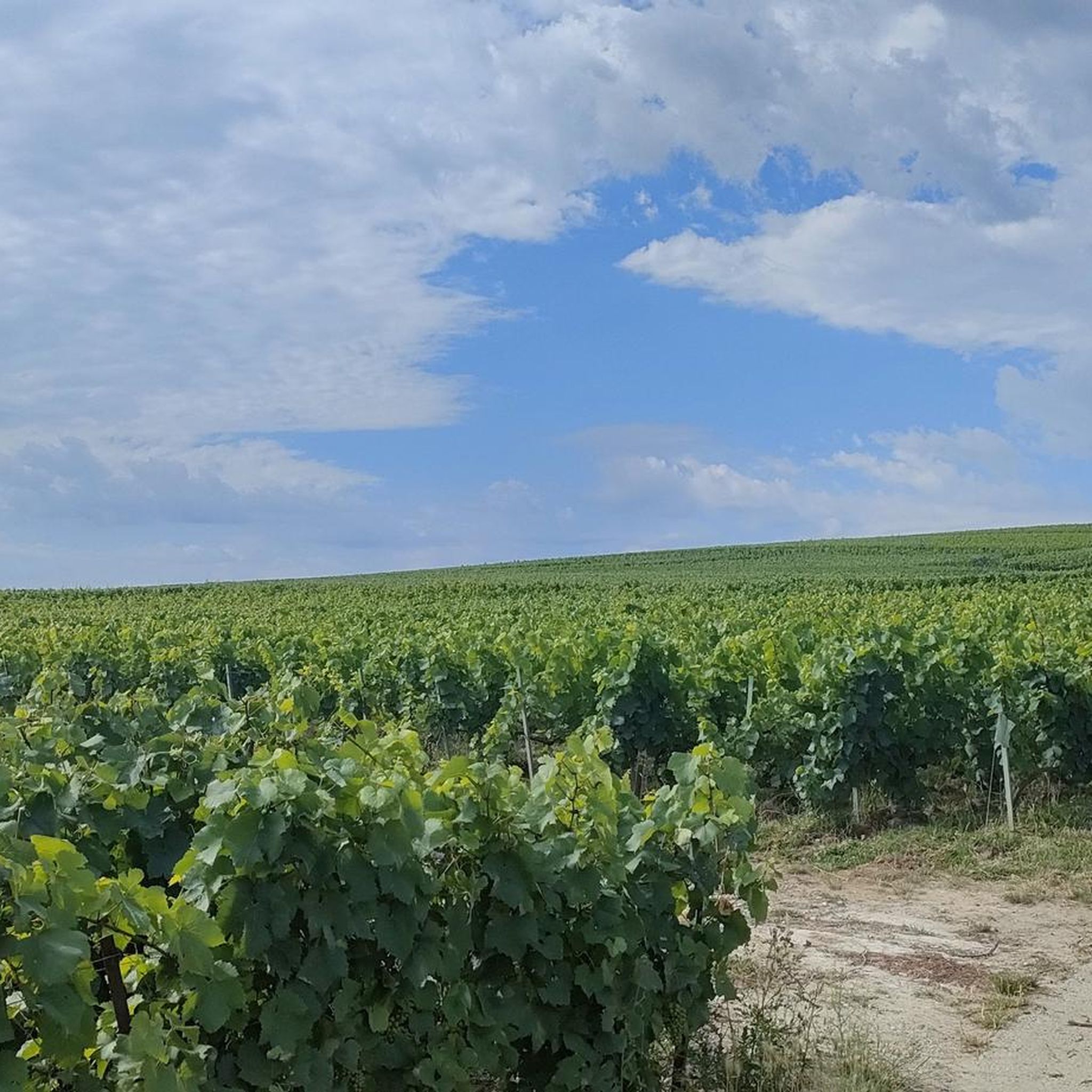
Superb viewpoint over the surrounding vineyards, a bit of history on the monument which overlooks the Vesle valley which was at the heart of many battles of the 14-18 war
0
0


This beautiful church is well maintained and full of flowers in spring.
0
0
For cyclists who like climbs, you can leave from Muizon and enjoy 4% slopes over 4 km with the added bonus of a passage through two timeless villages. A cross in tribute to the fighters of the First World War serves as the highest point of the pass.
0
0
Frequently Asked Questions
How many gravel bike trails are available around Condé-Sur-Suippe?
There are several gravel bike trails around Condé-Sur-Suippe, offering a variety of experiences. The komoot community has explored over 10 routes in the area, with 2 currently featured in this guide.
What is the typical terrain like for gravel biking in Condé-Sur-Suippe?
The terrain around Condé-Sur-Suippe is generally flat to gently rolling, with elevations ranging from 51 to 86 meters. This makes it ideal for accessible and enjoyable gravel biking without overly challenging climbs. You'll find many routes along riverbanks and canal towpaths, offering tranquil, traffic-free cycling.
Are there gravel routes suitable for beginners or families in Condé-Sur-Suippe?
Yes, the gentle gradients and numerous canal paths make Condé-Sur-Suippe suitable for beginners and families. Routes along the Aisne and Suippe rivers, and the Canal latéral à l'Aisne, provide easy, scenic rides. While specific 'easy' routes aren't highlighted here, the overall landscape is very accommodating.
Are there any more challenging gravel routes for experienced riders?
For experienced riders seeking more varied terrain, the area does offer routes with moderate climbs and descents. For example, the Hermonville – Chenay Heights loop from Guyencourt is a difficult 54.1 km trail with significant elevation changes, providing a good challenge.
What are the typical distances of gravel bike trails in the area?
Gravel bike trails in Condé-Sur-Suippe vary in length. You can find shorter routes, such as the Vineyard view – Pévy Horse Wash loop from Bouvancourt at 22.2 km, or longer, more challenging options like the Hermonville – Chenay Heights loop from Guyencourt which is 54.1 km.
What natural features or scenic views can I expect on gravel rides here?
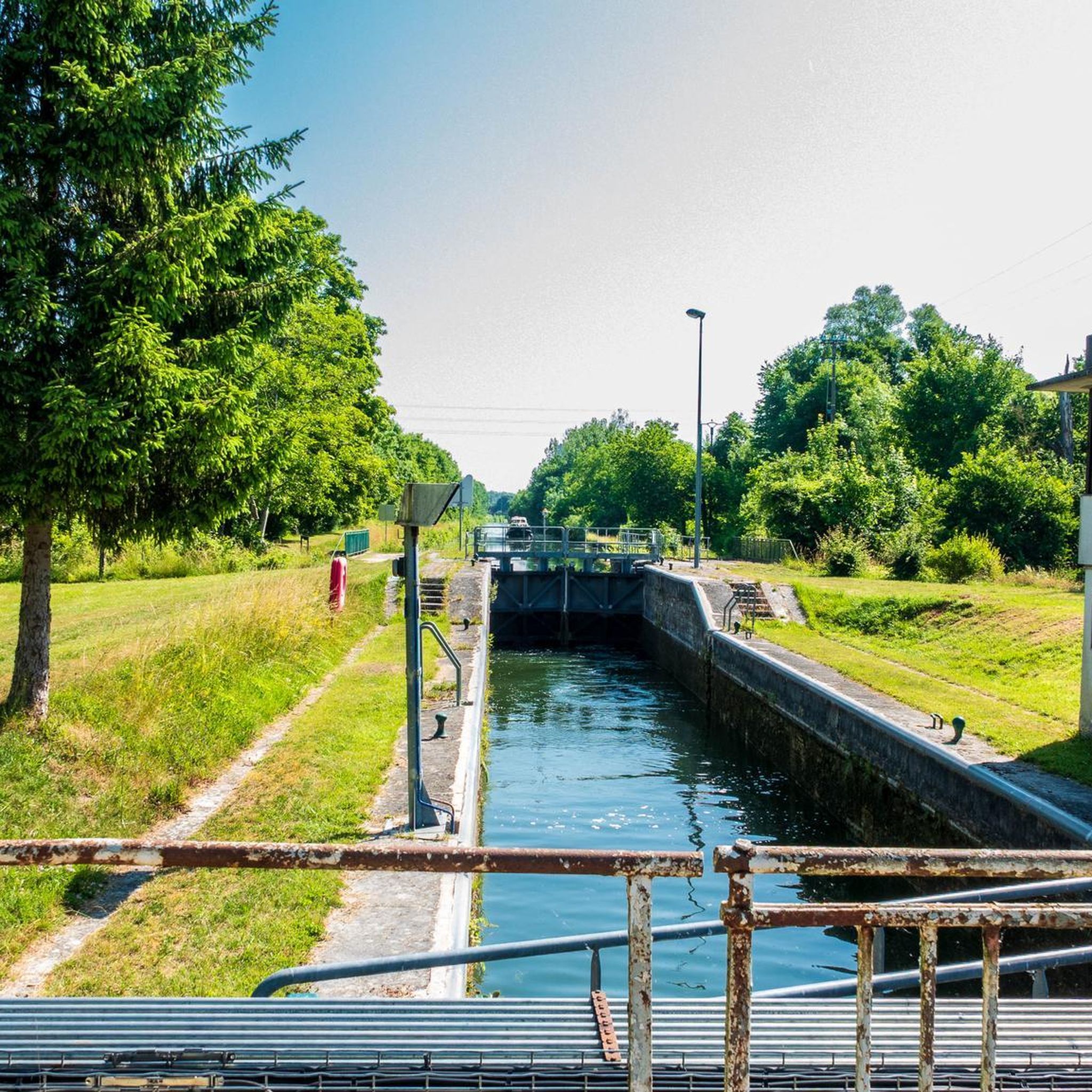
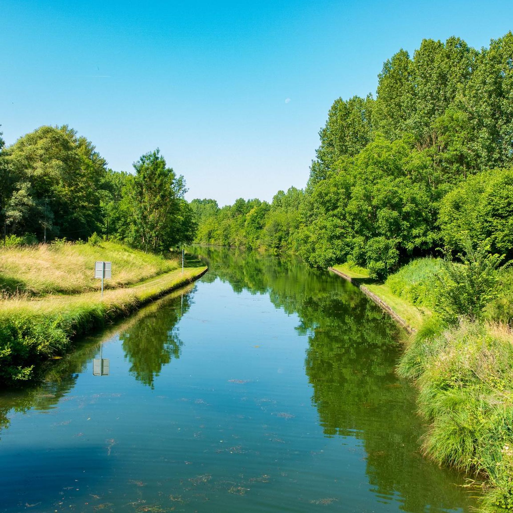
You can expect picturesque routes along the Aisne and Suippe rivers, and the Canal latéral à l'Aisne, which are perfect for exploring the surrounding countryside. The wider Aisne river valley is known for its 'luscious green' landscapes, offering tranquil scenery. Many routes also pass through forested areas, like the Trail Path 3 – The Forest Pond loop from Bouvancourt.
Are there any historical landmarks or attractions accessible from the gravel routes?
While directly within Condé-Sur-Suippe, the focus is on natural beauty, the wider region offers historical sites. The Chemin des Dames, about 16km away, is a historically significant ridge with panoramic views and World War I remembrance sites. You can also find attractions like the Cormicy National Necropolis or the St. Pierre Church - Guignicourt nearby.
What do other gravel bikers enjoy most about gravel biking in Condé-Sur-Suippe?
The area is highly rated by the komoot community, with an average score of 5.0 stars from 4 reviews. Reviewers often praise the tranquil nature of the routes, the scenic river and canal paths, and the accessibility of the gentle terrain for enjoyable rides.
Are there any circular gravel bike trails available?
Yes, many of the gravel routes in the area are designed as loops, allowing you to start and end at the same point. Examples include the Vineyard view – Pévy Horse Wash loop from Bouvancourt and the Trail Path 3 – The Forest Pond loop from Bouvancourt.
What is the best time of year for gravel biking in Condé-Sur-Suippe?
The region's 'luscious green' landscapes suggest that spring, summer, and early autumn would be ideal for gravel biking, offering pleasant weather and vibrant scenery. The gentle terrain means routes are generally accessible, but checking local weather conditions is always recommended.
Is public transport available to reach the gravel biking areas?
While specific public transport options directly to trailheads are not detailed, the region is well-connected within the Hauts-de-France area. For detailed information on public transport options that accommodate bicycles, it's best to consult local transport authorities or regional tourism websites.
Are there places to park for cyclists near the gravel routes?
Many routes start from towns or villages like Bouvancourt or Guyencourt, where public parking is typically available. For specific parking information for a particular trailhead, it's advisable to check the route details on komoot or local signage upon arrival.
Most popular routes around Condé-Sur-Suippe
Most popular attractions around Condé-Sur-Suippe

Get inspired with the komoot mobile app


Explore more
Browse the best Gravel rides in other regions.
