The best gravel rides around Bruère-Allichamps
3.5
(2)
16
riders
7
rides
Gravel bike trails Bruère-Allichamps are characterized by a preserved rural landscape, featuring a mix of meadows, hedges, and an extensive network of paths. The region offers varied terrain suitable for gravel biking, including unpaved or lightly-paved routes away from main roads. Riders can explore riverside trails along the River Cher and discover mixed landscapes, including potential forest sections. This area provides a serene setting for gravel cycling, with gentle elevation changes across its rural paths and small roads.
Best gravel…
Last updated: July 16, 2026
1
riders
51.1km
03:03
210m
210m
Moderate gravel ride. Good fitness required. Mostly paved surfaces. Suitable for all skill levels.
5.0
(1)
6
riders
39.6km
02:28
280m
280m
Moderate gravel ride. Good fitness required. Mostly paved surfaces. Suitable for all skill levels.

Sign up for free
1
riders
25.2km
01:43
150m
150m
Hard gravel ride. Great for any fitness level. You may need to push your bike for some segments of this route.
2
riders
33.3km
02:03
240m
240m
Moderate gravel ride. Good fitness required. Mostly paved surfaces. Suitable for all skill levels.
2.0
(1)
2
riders
28.4km
01:33
110m
110m
Easy gravel ride. Great for any fitness level. Mostly paved surfaces. Suitable for all skill levels.
Get access to more routes and recommendations from other explorers.
Sign up for free
Already have an account?
Our route recommendations are based on thousands of hikes, rides, and runs completed by other people on komoot.
Start today with a free account
Your next adventure awaits.
Login or Signup
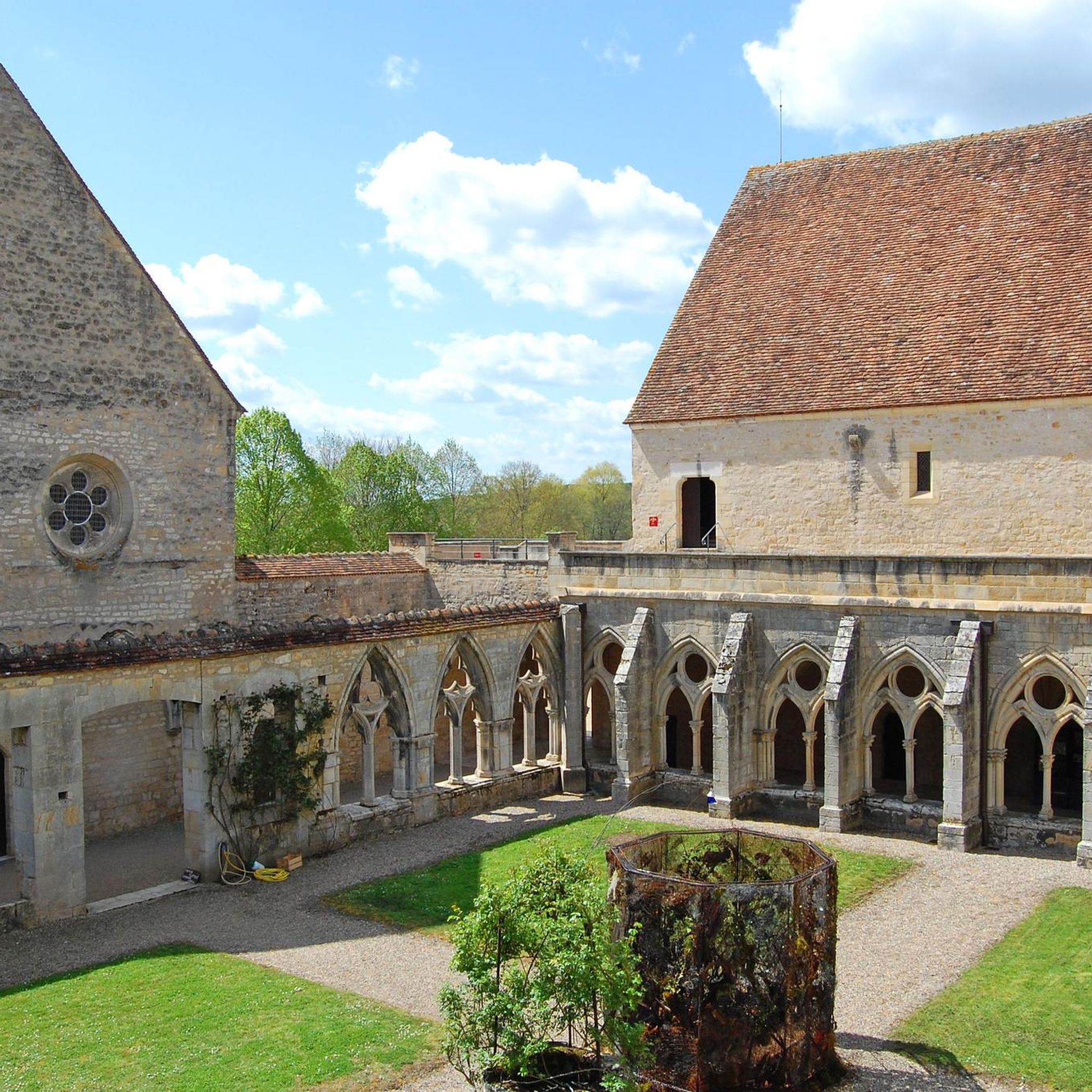

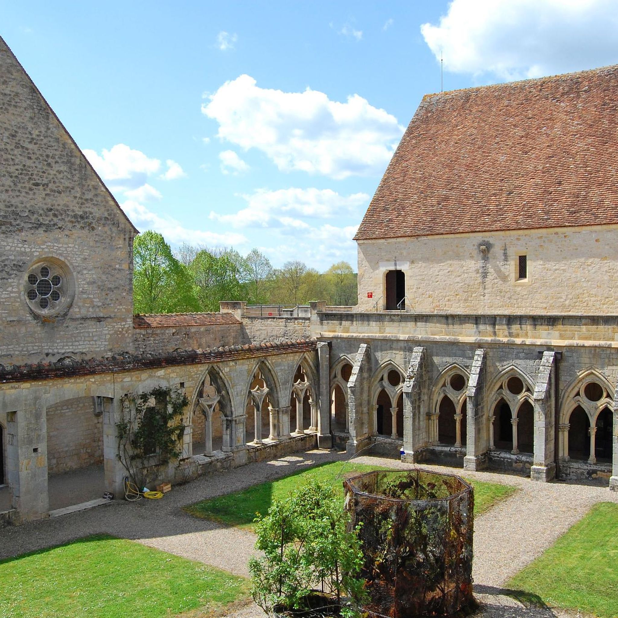

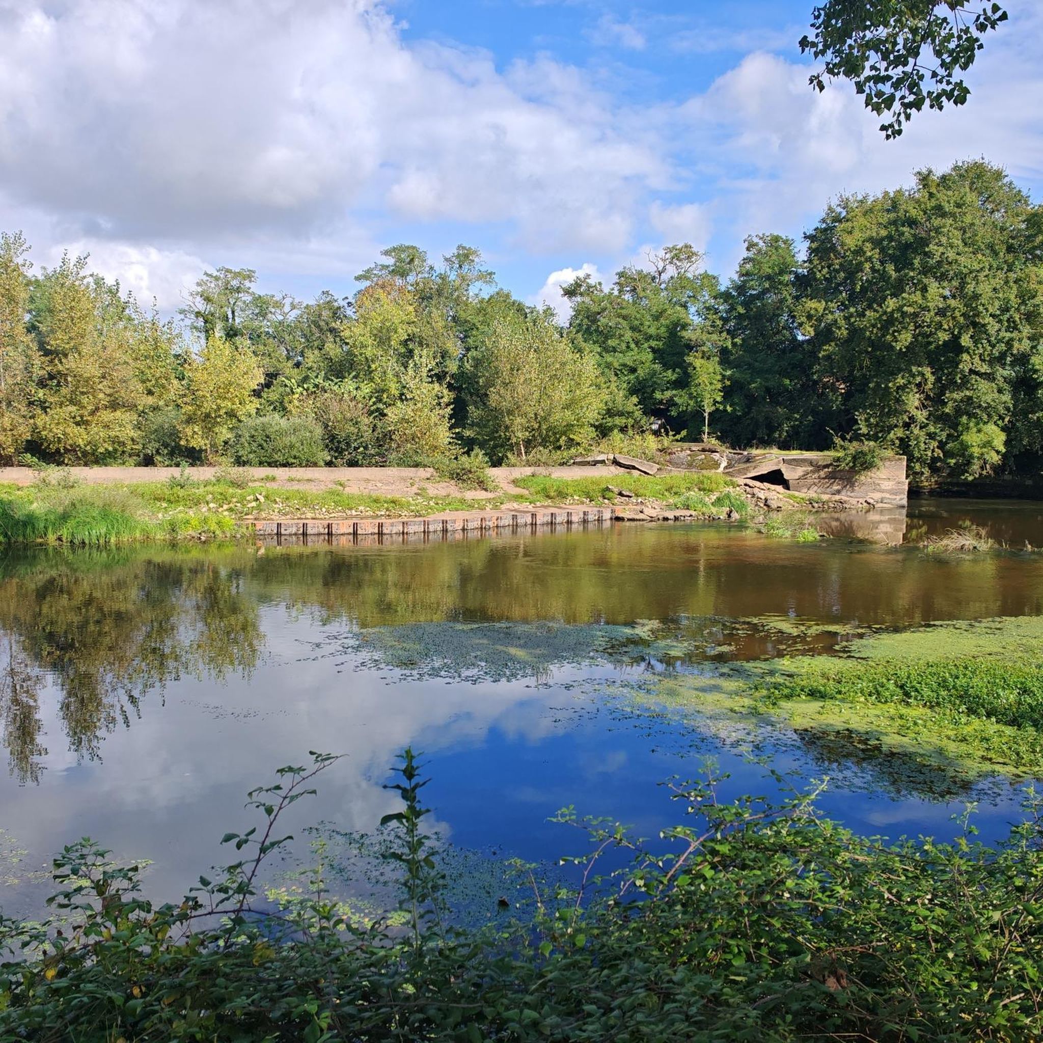
Tips from the Community

All timetables, all types of bikes, all paths
0
0

Good bakery. Open all day 😀… replenishes your energy levels. Be sure to try the pain au chocolat.
1
0

Hard path around Lake Virlay.
0
0
Green link from Lake Virlay to Noirlac. Note the passage over a floating bridge.
0
0


A nice view of the church of Saint-Pierre-les-Étieux via rue de l'Usine: a very nice segment.
1
0
Frequently Asked Questions
How many gravel bike trails are available around Bruère-Allichamps?
There are 8 gravel bike trails in the Bruère-Allichamps area, offering a range of experiences from easy to difficult. You'll find a diverse network of paths suitable for various skill levels.
What kind of terrain can I expect on gravel bike trails in Bruère-Allichamps?
The terrain around Bruère-Allichamps is characterized by a preserved rural landscape, featuring a mix of meadows, hedges, and an extensive network of unpaved or lightly-paved paths. You can expect varied surfaces, including riverside trails along the River Cher and sections through mixed landscapes, potentially including forest areas, perfect for gravel biking.
Are there any easy gravel bike routes suitable for beginners or families?
Yes, there is one easy gravel bike route available. For a gentle ride, consider the Saint-Amand-Montrond – Ainay Castle loop from Saint-Amand-Montrond, which covers 28.4 km with minimal elevation gain, making it suitable for those looking for a less challenging experience.
What historical landmarks or points of interest can I see along the gravel routes?
Many routes pass by significant historical sites. For instance, the Ainay Castle – Gallo-Roman baths loop from Saint-Amand-Montrond - Orval explores historical sites like the Gallo-Roman baths. Another notable landmark is the Noirlac Abbey, which can be seen on the Saint-Amand-Montrond – Noirlac Abbey loop from Nozières. You might also encounter the Canal de Berry on some rides.
Are there any routes that offer panoramic views or scenic overlooks?
While specific viewpoints are not detailed for every route, the region research indicates that a promontory at the edge of Bruère-Allichamps offers panoramic views over the Cher valley. Many routes traverse the bucolic rural landscapes and riverside trails, providing picturesque scenery throughout your ride.
What is the best time of year to go gravel biking in Bruère-Allichamps?
The preserved natural environment and extensive network of paths make Bruère-Allichamps enjoyable for gravel biking across multiple seasons. Spring and autumn generally offer pleasant temperatures and vibrant landscapes. The rural paths and small roads are versatile, but it's always wise to check local weather patterns before heading out, especially during wetter periods.
Are there any loop trails for gravel biking in the area?
Yes, many of the gravel routes around Bruère-Allichamps are designed as loops. Examples include the Saint-Amand-Montrond – Noirlac Abbey loop from Nozières, the Ainay Castle – Gallo-Roman baths loop from Saint-Amand-Montrond - Orval, and the Château de Farges loop from Farges-Allichamps, providing convenient circular journeys.
What do other gravel bikers enjoy most about riding in Bruère-Allichamps?
The area is highly rated by the komoot community, with an average score of 3.5 stars from over 2 reviews. Riders often praise the varied terrain, the opportunity to discover wild nature, and the serene setting provided by the bucolic rural landscapes and riverside trails.
Are there any routes that follow rivers or feature water bodies?
Yes, the village is situated on the banks of the River Cher, and many routes offer pleasant rides along its course. The region research also mentions the nearby Lac de Virlay, which provides additional scenic paths and water features, enhancing the picturesque scenery during your rides.
Where can I find parking for gravel biking trails in Bruère-Allichamps?
While specific parking locations for each trail are not detailed, given the rural nature of Bruère-Allichamps and its surrounding villages, you can typically find parking in village centers or near trailheads. It's advisable to check the starting points of individual routes on komoot for more precise parking information.
What is the most challenging gravel bike route in the area?
The most challenging route identified is the Château de Farges loop from Farges-Allichamps. While it covers 25.2 km, its difficulty is rated as 'difficult', suggesting it offers more technical sections or steeper climbs compared to other routes in the area.
Are there any routes that pass by castles or historic châteaux?
Yes, several routes feature historic châteaux. For example, the Château de Farges loop from Farges-Allichamps leads directly past the Château de Farges. Another route, the Château de Farges – Saint-Amand-Montrond loop from Farges-Allichamps, also offers views of this historic site.
Most popular routes around Bruère-Allichamps
Most popular attractions around Bruère-Allichamps

Get inspired with the komoot mobile app


Explore more
Browse the best Gravel rides in other regions.
