The best gravel rides around Bréau-Et-Salagosse
5.0
(2)
31
riders
8
rides
Gravel biking around Bréau-Et-Salagosse features routes through the mountainous terrain of the Cévennes, often centered around Mont Aigoual. The landscape includes significant elevation changes, with trails traversing passes and valleys. This region offers challenging gravel bike trails suitable for experienced riders.
Best gravel bike trails around Bréau-Et-Salagosse
- The most popular gravel bike trail is Meyrueis – Mont Aigoual loop from Saint-Sauveur-Camprieu, a difficult 37.9 miles (60.9 km) trail that takes about 5 hours 20 minutes to complete. This route…
Last updated: July 2, 2026
8
riders
60.9km
05:21
1,420m
1,420m
Hard gravel ride. Very good fitness required. You may need to push your bike for some segments of this route.
4
riders
55.8km
04:18
1,490m
1,490m
Hard gravel ride. Very good fitness required. You may need to push your bike for some segments of this route.

Sign up for free
5
riders
83.6km
06:28
1,900m
1,900m
Hard gravel ride. Very good fitness required. Mostly paved surfaces. Suitable for all skill levels.
5.0
(1)
3
riders
Moderate gravel ride. Good fitness required. Mostly paved surfaces. Suitable for all skill levels.
5.0
(1)
3
riders
20.8km
01:35
330m
330m
Moderate gravel ride. Good fitness required. Mostly paved surfaces. Suitable for all skill levels.
Get access to more routes and recommendations from other explorers.
Sign up for free
Already have an account?
Our route recommendations are based on thousands of hikes, rides, and runs completed by other people on komoot.
Start today with a free account
Your next adventure awaits.
Login or Signup
Tips from the Community

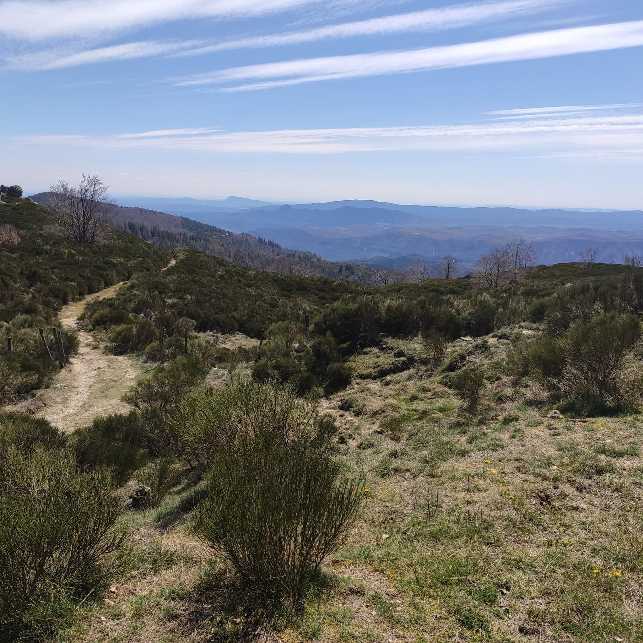
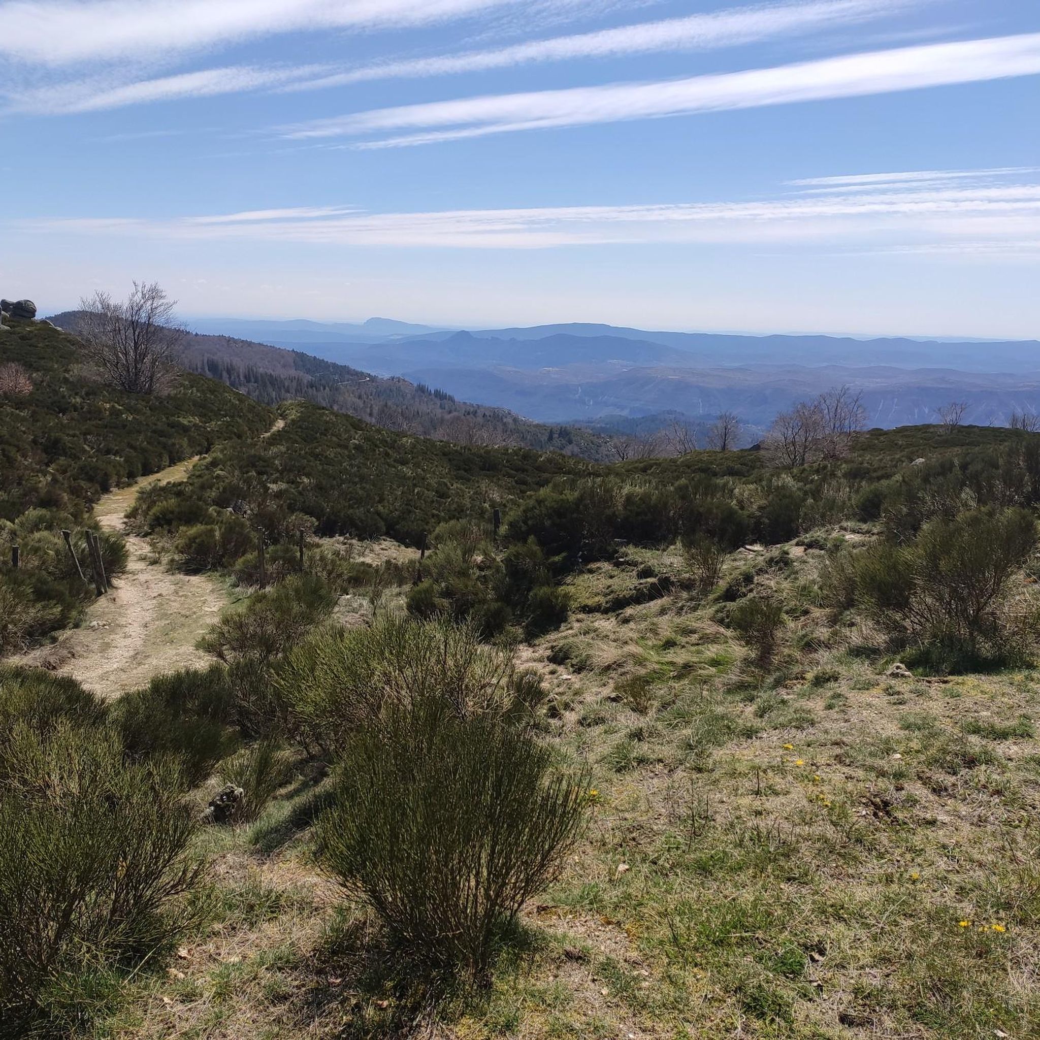
Sublime point, view of the Cévennes and the Mediterranean Sea in good weather
0
0

Under the title "France's Wild South," an episode of the British television series "National Parks – Protected Natural Wonders" on 3sat presents the Cévennes mountains. The accompanying text on the website states: "Lush green mountains, barren plateaus, and deep gorges characterize this landscape, which, unlike France's coasts, has not yet been discovered by mass tourism. It also boasts some of the country's most spectacular river landscapes." The compelling documentary, available in German, can be viewed in the media library at the following link: https://www.3sat.de/dokumentation/nationalparks-geschuetzte-naturwunder/nationalparks-geschuetzte-naturwunder-cevennen-frankreichs-wilder-sueden-102.html
0
0

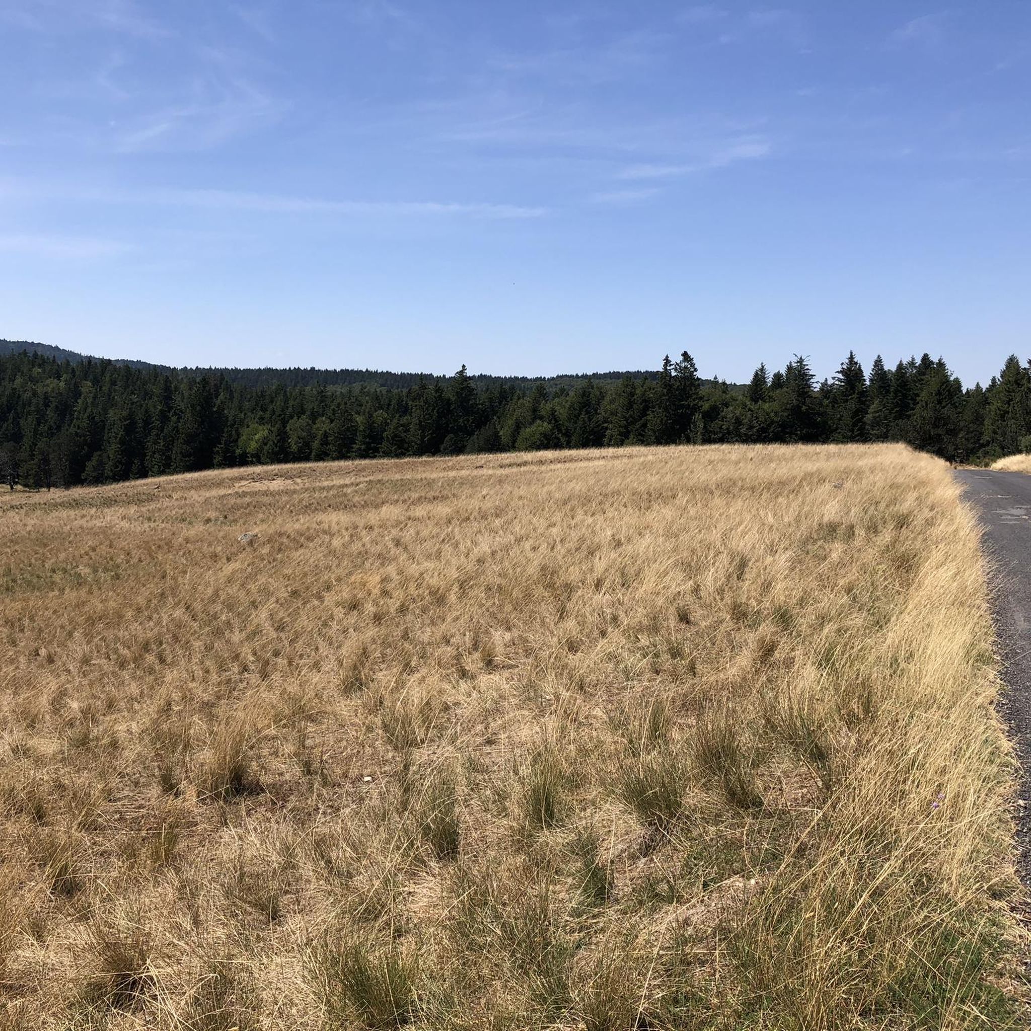
This pass, discreetly nestled among the fir trees, is a great road and pedestrian crossing. It also allows cyclists and gravel enthusiasts to take the trails that go a little deeper into the coniferous forests.
0
0
Cabrillac is a typical example of the small hamlets found throughout the Cévennes. These small stone buildings are characteristic of the local architecture.
0
0

This small sacred monument, too, is a symbol of remembrance of the crucifixion and resurrection of Jesus Christ. However, its design is very unique and unlike the usual crosses that often crown mountain peaks. At the end of the triangular base plate, a small wall appears to have been built, its sides terminating in the shape of a stepped gable. In the center is a V-shaped cutout, the ends of which extend significantly beyond the height of the small wall. From this V emerges the longitudinal beam of the cross, which, however, has two crossbeams. This double crossbeam, as well as the lack of a corpus, is typical of the so-called "Lorraine Cross."
3
0

Yes! Open every day during the season from 10:00 a.m. and otherwise closed on Mondays!
0
0

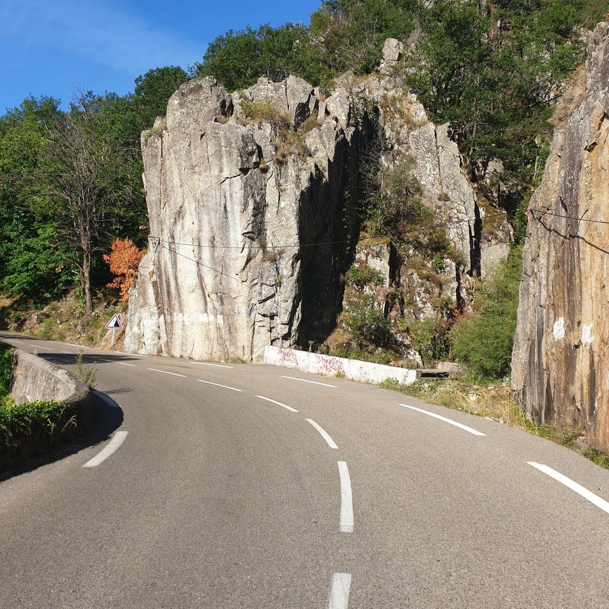
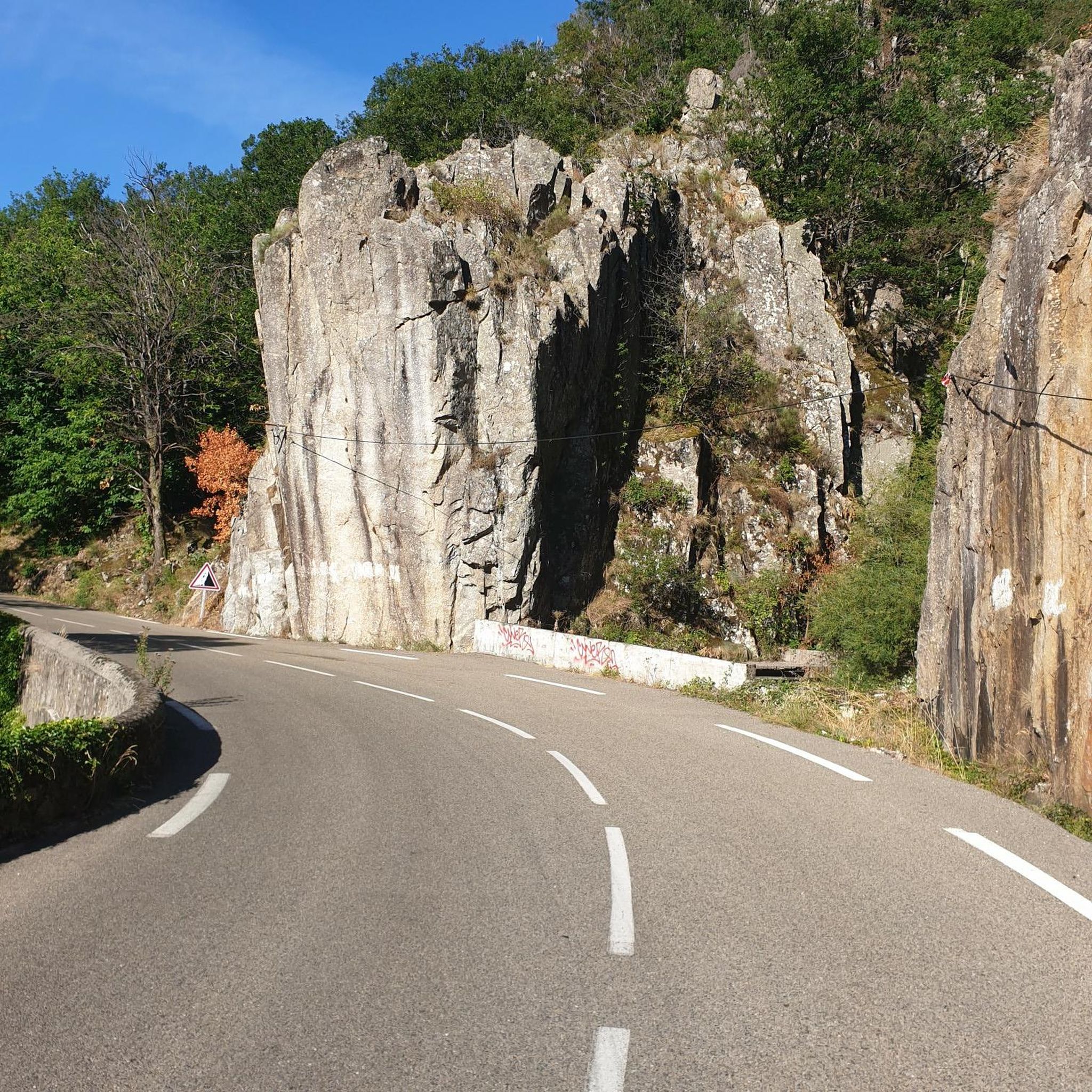
Lovely running climb, at the beginning through the forest it is nice to cycle. After that the road surface becomes a bit worse. Nice running climb.
0
0
Frequently Asked Questions
What is the typical difficulty level of gravel bike trails in Bréau-Et-Salagosse?
Gravel biking around Bréau-Et-Salagosse is generally challenging, with a strong focus on routes featuring significant elevation changes and mountainous terrain. Most of the 11 available routes are rated as difficult, with a few moderate options. Riders should be prepared for substantial climbs, particularly those heading towards Mont Aigoual.
Are there any beginner-friendly gravel bike routes in Bréau-Et-Salagosse?
While the region is known for its challenging terrain, there are a few moderate routes available. For example, the Singletrack – Valley of Happiness loop from Saint-Sauveur-Camprieu offers a moderate 20.1 km ride with over 300 meters of elevation gain, providing a less strenuous option compared to the more demanding Mont Aigoual loops.
What is the average length of gravel bike routes in this area?
The gravel bike routes around Bréau-Et-Salagosse vary in length, but many are substantial. You'll find routes ranging from around 20 kilometers for moderate rides, such as the Singletrack – Valley of Happiness loop from Saint-Sauveur-Camprieu, up to over 80 kilometers for difficult excursions like the Mount Aigoual – Mont Aigoual loop from Le Vigan.
Are most gravel bike trails in Bréau-Et-Salagosse loop routes?
Yes, the majority of gravel bike trails in the Bréau-Et-Salagosse area are designed as loops. This allows riders to start and finish at the same point, making logistics easier. Examples include the Meyrueis – Mont Aigoual loop from Saint-Sauveur-Camprieu and the Mount Aigoual – Mont Aigoual loop from Valleraugue.
What kind of scenery and viewpoints can I expect on these gravel bike routes?
The routes offer extensive views of the mountainous Cévennes landscape, often centered around Mont Aigoual. You'll traverse various mountain passes and valleys, providing panoramic vistas. Notable viewpoints include those from Mount Aigoual itself, and along passes like Minier Pass and Lusette Pass.
Are there any notable landmarks or points of interest along the gravel bike trails?
Yes, the region is rich in natural landmarks. Many routes will take you past significant mountain passes such as Minier Pass, Lusette Pass, and the unique Navacelles Switchbacks. You'll also encounter prominent peaks like Mount Aigoual and Anjeau Peak, offering impressive natural beauty.
When is the best time of year for gravel biking in Bréau-Et-Salagosse?
Given the mountainous nature of the Cévennes, the best time for gravel biking is typically from late spring through early autumn (May to October). During these months, the weather is generally more stable, and trails are clear of snow, which can affect higher elevations like Mont Aigoual in winter. Always check local weather conditions before heading out.
Are there any family-friendly gravel bike trails in Bréau-Et-Salagosse?
Due to the region's challenging and mountainous terrain, most gravel bike routes around Bréau-Et-Salagosse are better suited for experienced riders. There are no routes specifically categorized as 'easy' in the area. However, the moderate routes, such as the Lusette Pass – Minier Pass loop from L'Espérou (25.3 km), might be manageable for families with older, more experienced children who are comfortable with elevation gains.
Where can I find parking for gravel biking trails in Bréau-Et-Salagosse?
Many of the loop routes start from villages or towns, which typically offer public parking. For example, routes like the Meyrueis – Mont Aigoual loop begin near Saint-Sauveur-Camprieu, and the Mount Aigoual – Mont Aigoual loop from Valleraugue starts in Valleraugue. It's advisable to check specific starting points on komoot for detailed parking information.
Are there cafes or places to refuel along the gravel bike routes?
Given the remote and mountainous nature of the Cévennes, services like cafes can be sparse, especially on longer routes. Many routes pass through or near small villages where you might find a local shop or a small eatery. For example, routes starting from towns like Le Vigan, Valleraugue, or Saint-Sauveur-Camprieu will have amenities. Always carry sufficient water and snacks, especially on longer excursions, as services may not be frequent between villages.
What are the trail conditions like for gravel biking in Bréau-Et-Salagosse?
The gravel bike trails in Bréau-Et-Salagosse are characterized by varied surfaces typical of mountainous regions, including gravel roads, forest tracks, and sometimes paved sections connecting them. Riders should expect uneven surfaces, loose gravel, and potentially rocky sections, especially on descents. The trails are generally well-maintained but can be affected by weather, so checking recent conditions is always recommended.
Most popular routes around Bréau-Et-Salagosse
Most popular attractions around Bréau-Et-Salagosse

Get inspired with the komoot mobile app


Explore more
Browse the best Gravel rides in other regions.
