The best gravel rides around Puy-Sanières
4.5
(46)
315
riders
27
rides
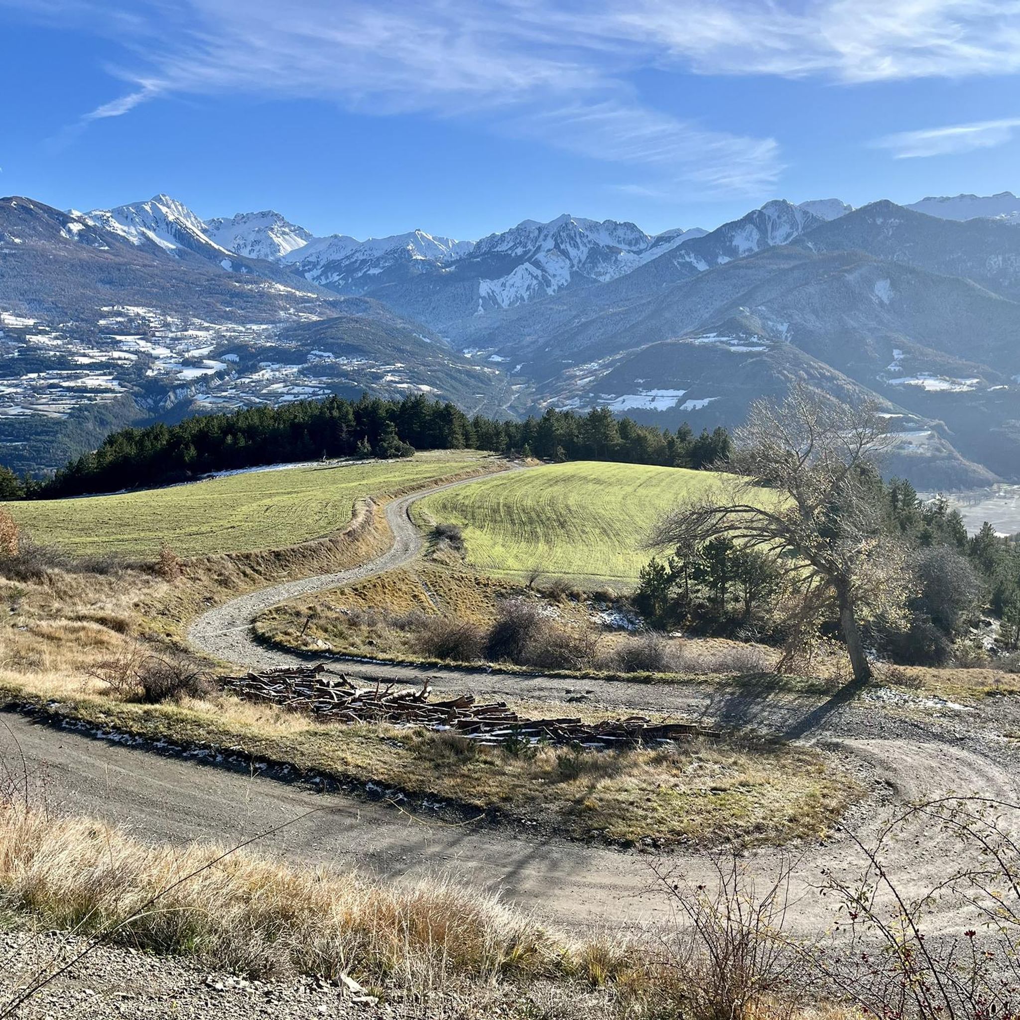
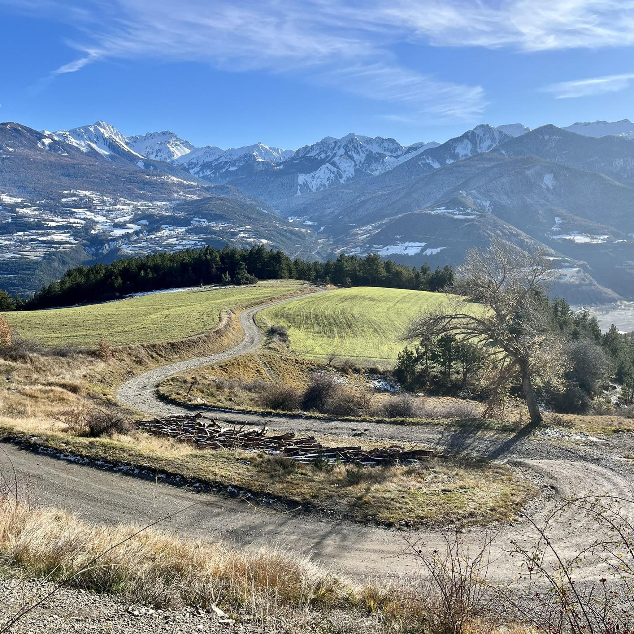
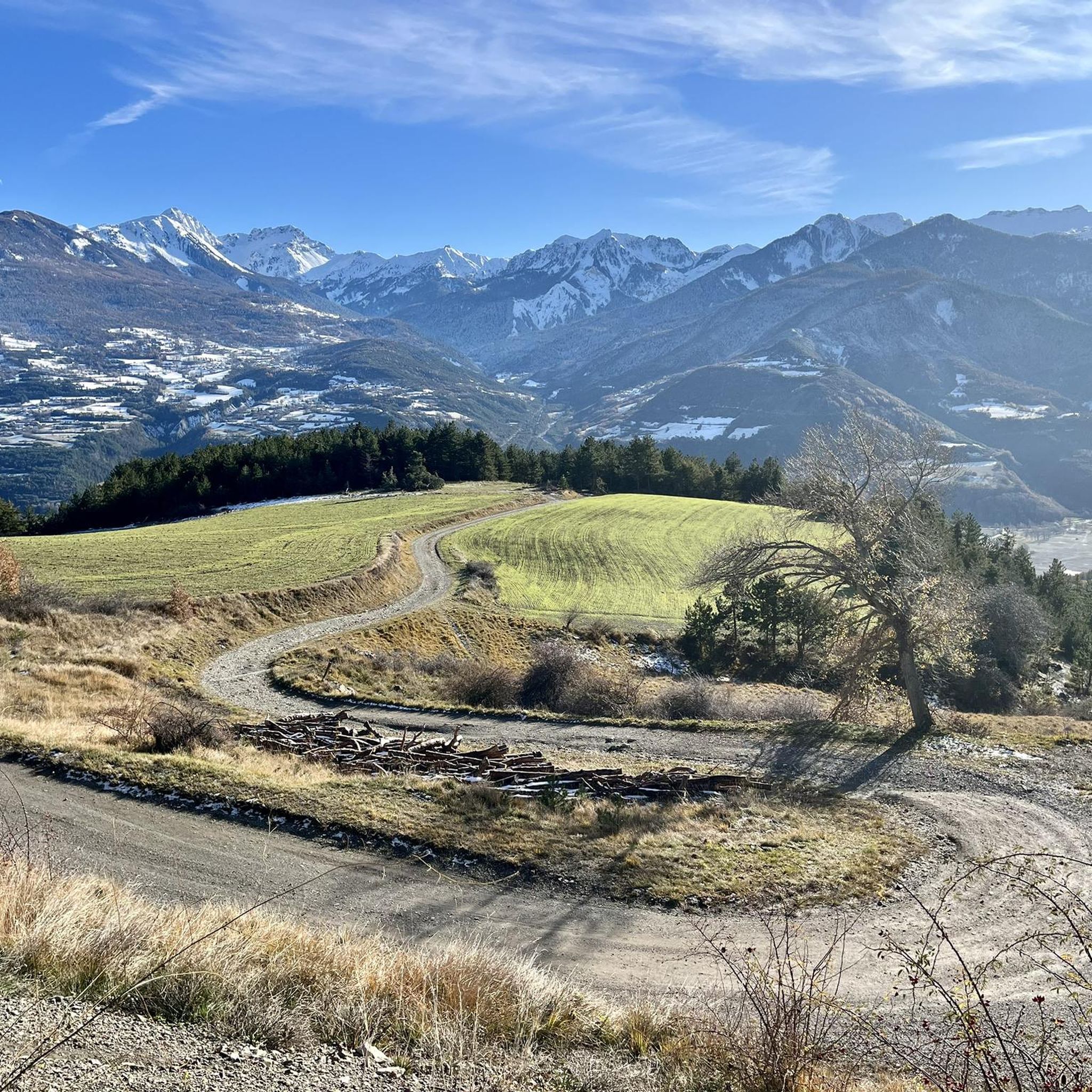
Gravel biking around Puy-Sanières offers diverse terrain in the Hautes-Alpes department, characterized by its position on the southern flank of Mont Guillaume. The region features varied landscapes, from the shores of Lake Serre-Ponçon to mountain forests and Provençal vegetation. Gravel routes navigate through this topography, providing a mix of climbs and scenic paths. The area's geology includes prominent peaks like Pic du Morgon and the limestone Aiguilles de Chabrières, offering distinct visual landmarks for cyclists.
Best gravel bike trails around…
Last updated: October 19, 2026
3.0
(1)
9
riders
111km
10:52
2,960m
2,970m
Hard gravel ride. Very good fitness required. Mostly paved surfaces. Suitable for all skill levels.
4.0
(2)
22
riders
51.1km
04:48
1,280m
1,280m
Hard gravel ride. Very good fitness required. Mostly paved surfaces. Suitable for all skill levels.

4.9
(7)
33
riders
44.0km
03:41
1,300m
1,300m
Hard gravel ride. Very good fitness required. Mostly paved surfaces. Suitable for all skill levels.
4.7
(6)
29
riders
46.6km
03:43
1,260m
1,260m
Hard gravel ride. Very good fitness required. Mostly paved surfaces. Suitable for all skill levels.
5.0
(3)
27
riders
38.3km
02:49
1,010m
1,010m
Hard gravel ride. Very good fitness required. Mostly paved surfaces. Suitable for all skill levels.
Get access to more routes and recommendations from other explorers.
Already have an account?
Our route recommendations are based on thousands of hikes, rides, and runs completed by other people on komoot.
Start today with a free account
Your next adventure awaits.
Tips from the Community

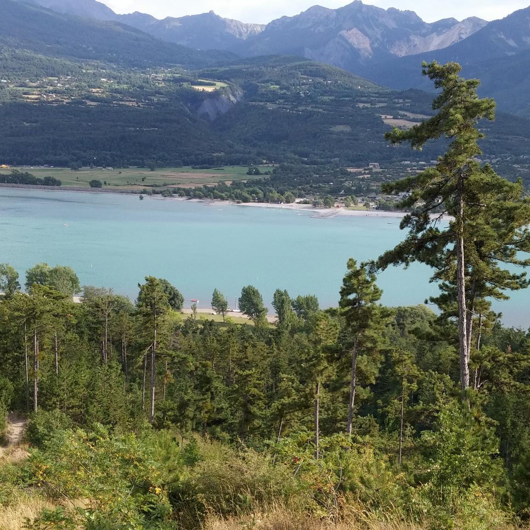
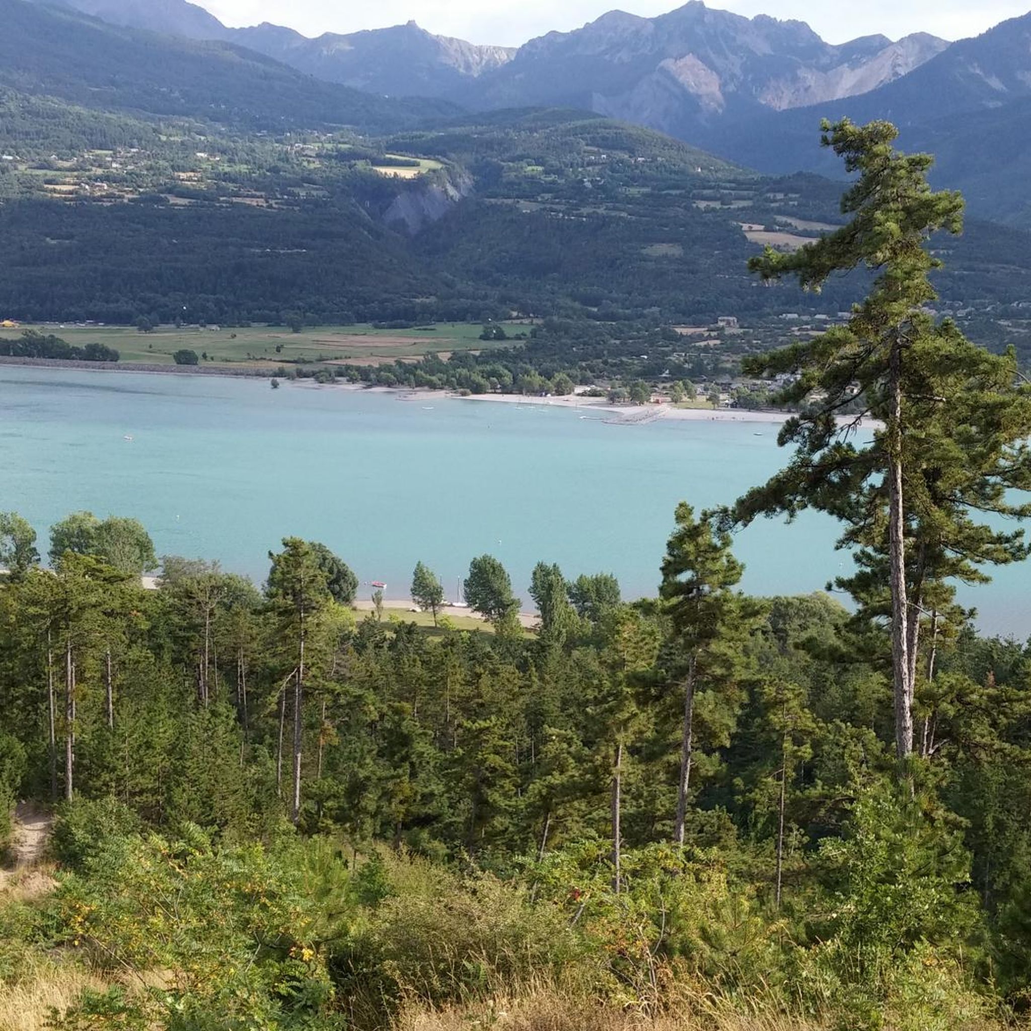
Beautiful views, although the water level of this lovely lake has dropped a lot lately. It's a shame to see it compared to 10 years ago.
0
0

great detox course
0
0


There are four tunnels, the smaller ones a few hundred meters long, the longest about 2.8 km! It was pitch black (yes, I had my bike lights on), wet, and dripping from the ceiling. I found it totally creepy and wouldn't go through it alone again.
0
0

The tunnel is closed. Carrying your bike over the scree is the only option, but it's very challenging.
1
0

Here the asphalt road ends and you can no longer continue on the BDC.
18
0
From here you can admire Lake Sarre-Ponçon.
10
0

Cycled it today. It feels like it is not maintained and starts to be overgrown. Also, when turning from the road after the roundabout, you will have to cross a closed barrier.
1
0
Frequently Asked Questions
What kind of terrain can I expect on gravel bike trails around Puy-Sanières?
Gravel biking around Puy-Sanières offers incredibly diverse terrain. You'll find paths ranging from the shores of Lake Serre-Ponçon, often referred to as 'the sea in the heart of the mountains,' to the varied slopes of Mont Guillaume. Expect a mix of forest tracks, small road networks, and routes with stunning views of prominent peaks like Pic du Morgon and the limestone Aiguilles de Chabrières. The area provides a varied playground for all cycling practices.
Are there any easy gravel bike trails suitable for beginners in Puy-Sanières?
While many routes in the region are rated as difficult, there are options for less experienced riders. For example, the View of the Durance River – View of Embrun loop from Baratier - La Mure Petit Liou is a moderate 28 km trail that offers a gentler experience while still providing scenic views of the Durance River valley.
What are the typical distances and durations for gravel bike trails in this area?
Trail distances vary significantly, from moderate loops around 28 km to more challenging routes exceeding 100 km. For instance, the View of the Durance River – View of Embrun loop from Baratier - La Mure Petit Liou is about 28 km and takes around 2 hours. In contrast, the epic The mythical tunnel du Parpaillon stretches over 111 km and can take nearly 11 hours to complete, featuring significant elevation gain.
What are the best viewpoints or natural features to look out for on the gravel routes?
The region is rich in natural beauty. Many routes offer breathtaking views of Lake Serre-Ponçon, the turquoise backdrop to the mountains. You'll also encounter dramatic geological formations like the Chabrières Needles and the impressive Morgon peak. The Balconies of the Durance also offer spectacular vistas. Don't miss the picturesque Lac de Saint-Apollinaire for a serene stop.
Are there any circular gravel bike routes in Puy-Sanières?
Yes, several gravel bike routes in the area are designed as loops, allowing you to start and finish in the same location. Examples include the View of the Durance River – Durance Bridge loop from Crots, which is about 38 km, and the Les Orres ski resort – Lake Serre-Ponçon loop from Crots, covering around 47 km.
What is the best time of year for gravel biking in Puy-Sanières?
The region is generally excellent for outdoor activities. While the highest peaks can retain snow until June, the varied terrain around Lake Serre-Ponçon and lower elevations offers good conditions for much of the year. Spring and autumn provide pleasant temperatures and vibrant scenery, while summer is ideal for enjoying the lake and Provençal flora. Always check local weather conditions before heading out, especially for higher altitude routes.
What do other gravel bikers say about the trails in Puy-Sanières?
The gravel biking experience in Puy-Sanières is highly regarded by the komoot community, with an average rating of 4.6 stars from over 38 reviews. Many riders praise the diverse landscapes, from the stunning views of Lake Serre-Ponçon to the challenging mountain ascents and the quiet forest tracks. The variety of routes caters to different skill levels, making it a favorite playground for cyclists.
Are there any family-friendly gravel biking options in the area?
While many routes are challenging, families can find suitable sections, especially closer to Lake Serre-Ponçon or on the less strenuous parts of the small road network around Puy-Sanières. The region's diverse offerings mean that with careful planning, you can find paths that are enjoyable for various ages and abilities. Consider routes with less elevation gain and shorter distances for a family outing.
Where can I find parking for gravel bike trails in Puy-Sanières?
Specific parking information for each trailhead isn't always detailed, but generally, you can find parking in and around the villages like Puy-Sanières, Crots, or Embrun, which serve as common starting points for many routes. It's advisable to check the specific route details on komoot for any recommended parking areas or public access points near the trailheads.
Are there cafes or places to stop for refreshments along the gravel routes?
The region has several villages and hamlets, particularly around Lake Serre-Ponçon and in towns like Embrun, where you can find cafes, restaurants, and other amenities. While not every trail will have direct access to a cafe, planning your route to pass through these settlements will allow for refreshment stops. The communal ovens in hamlets like Serre and Bouteils are also points of interest, though not necessarily commercial establishments.
What are some of the more challenging gravel bike routes in Puy-Sanières?
For experienced gravel bikers seeking a challenge, Puy-Sanières offers several difficult routes. The The mythical tunnel du Parpaillon is a formidable 111 km trail with significant elevation gain, taking nearly 11 hours. Another demanding option is Azure blue water and gravel at 'Le Petit Nice' Embrun, a 51 km path exploring the scenic, yet challenging, area around Embrun with stunning lake views.
How many gravel bike trails are available in the Puy-Sanières area?
There are over 30 gravel bike trails documented around Puy-Sanières on komoot, offering a wide range of experiences. This includes a mix of easy, moderate, and difficult routes, ensuring there's something for every level of gravel biker looking to explore the Hautes-Alpes region.
Most popular routes around Puy-Sanières
Most popular attractions around Puy-Sanières

Get inspired with the komoot mobile app


Explore more
Browse the best Gravel rides in other regions.
