The best gravel rides around Armancourt
4.1
(11)
61
riders
12
rides
Gravel biking around Armancourt, located in the Oise department, offers access to extensive natural landscapes. The region is characterized by large forests, such as the Forêt de Compiègne, river valleys, and agricultural plains, providing a network of paths and gravel tracks. This topography allows for routes that combine riverside paths with ascents onto higher ground, offering varied elevation changes and mixed terrain. Mont Ganelon, situated nearby, contributes elevated perspectives and diverse topography suitable for gravel cyclists.
Best gravel bike trails around Armancourt
- The most popular gravel bike trail is Vieux-Moulin – Allée des Beaux-Monts loop from Compiègne, a 22.5 miles (36.1 km) trail that takes 2 hours 20 minutes to complete. This moderate route navigates through the extensive Forêt de Compiègne.
- Another top favourite among local gravel bikers is Compiègne Town Hall – Château de Compiègne loop from Compiègne, a moderate 26.1 miles (42.1 km) path. This route leads through the Forêt de Compiègne and past historical sites.
- Local gravel bikers also love the Allée des Beaux-Monts – Beaux Monts Viewpoint loop from Compiègne, a 12.8 miles (20.6 km) trail leading through forest sections, often completed in about 1 hour 28 minutes.
- Gravel biking around Armancourt is defined by extensive forests, varied topography, and a mix of gravel tracks and unpaved cycling routes. The network offers options for different ability levels, from easy forest paths to more challenging routes with elevation changes.
- The routes in Armancourt are highly rated by the komoot community with an average score of 4.4 stars from over 7 reviews. More than 46 gravel bikers have used komoot to explore Armancourt's varied terrain.
Last updated: July 3, 2026
5.0
(3)
8
riders
36.6km
02:23
180m
180m
Moderate gravel ride. Good fitness required. Mostly paved surfaces. Suitable for all skill levels.
3.3
(4)
14
riders
42.1km
02:53
320m
320m
Moderate gravel ride. Good fitness required. Mostly paved surfaces. Suitable for all skill levels.

Sign up for free
4.0
(1)
8
riders
20.6km
01:28
170m
170m
Moderate gravel ride. Good fitness required. Mostly paved surfaces. Suitable for all skill levels.
8
riders
41.8km
02:26
390m
390m
Hard gravel ride. Good fitness required. You may need to push your bike for some segments of this route.
4.3
(3)
9
riders
25.2km
01:23
90m
90m
Easy gravel ride. Great for any fitness level. Mostly paved surfaces. Suitable for all skill levels.
Get access to more routes and recommendations from other explorers.
Sign up for free
Already have an account?
Our route recommendations are based on thousands of hikes, rides, and runs completed by other people on komoot.
Start today with a free account
Your next adventure awaits.
Login or Signup

Tips from the Community

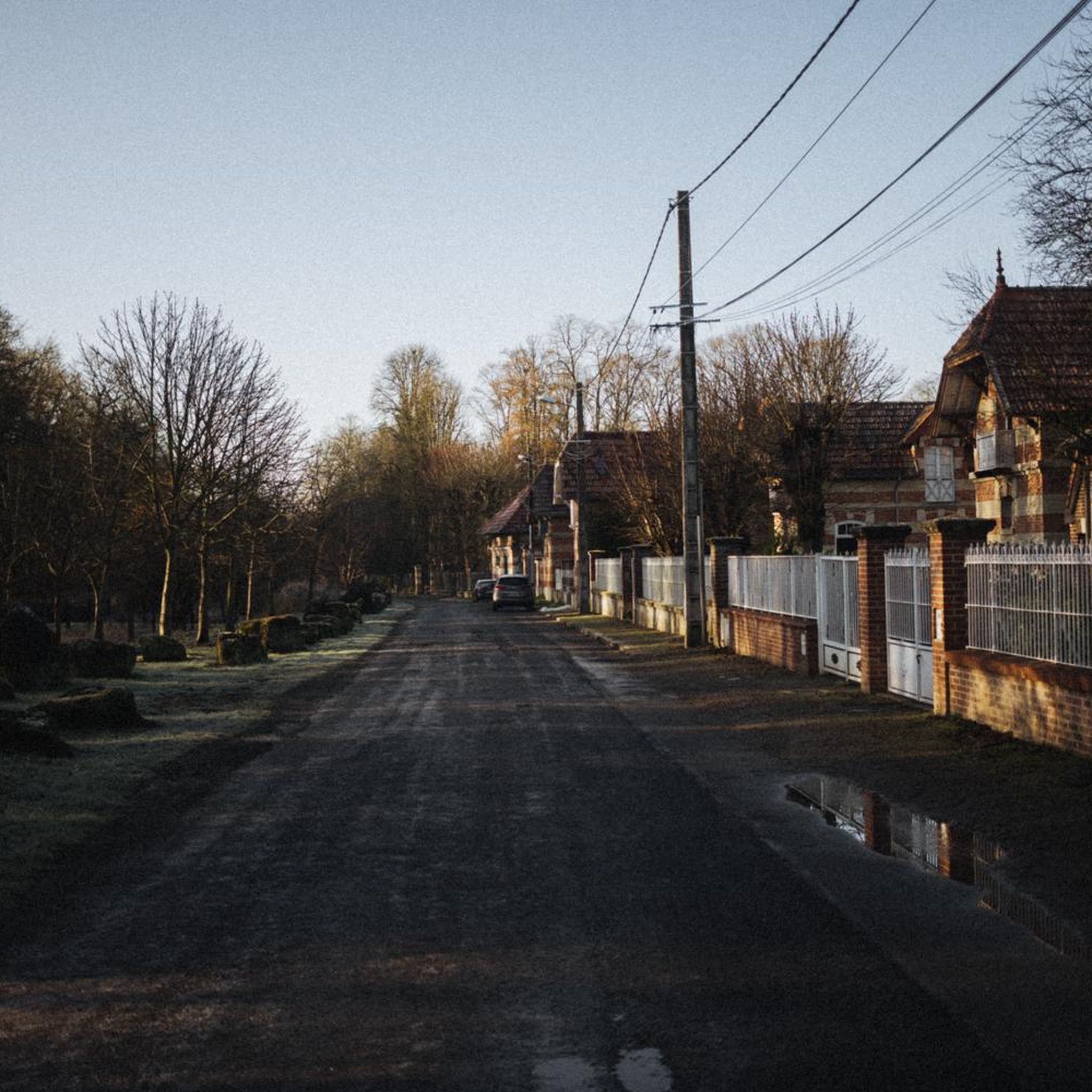
charming village with a beautiful church and a very reputable old inn!
0
0

In the heart of the Compiègne forest, the Armistice Glade marks the place where the armistice was signed on November 11, 1918, and then that of June 22, 1940. The site today includes the memorial with the “Armistice Wagon” (recreated car), the statue of Marshal Foch and the Alsace-Lorraine monument.
0
0


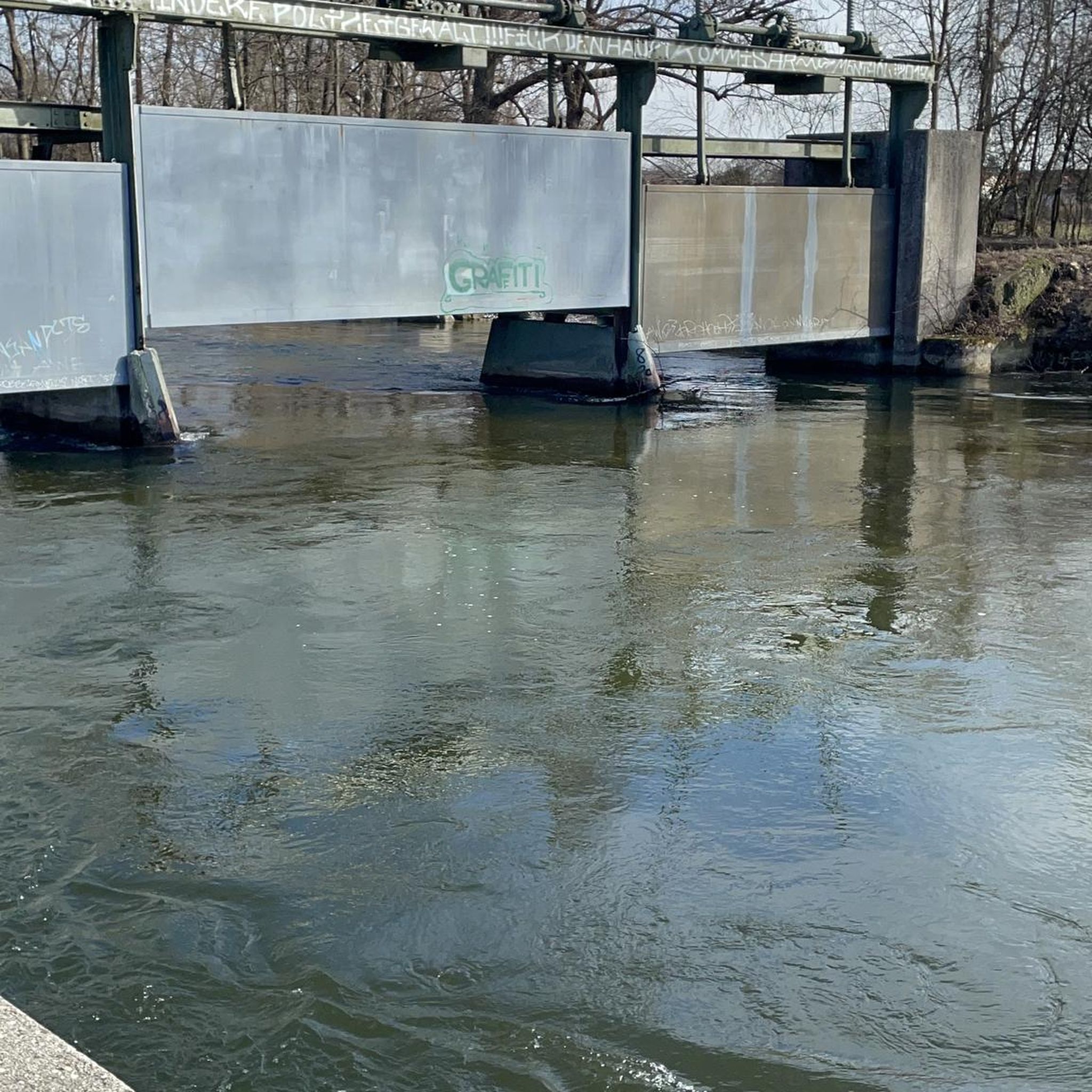
One of the largest bridges in the city of Compiègne owes its construction to Louis XV. An obelisk was erected in the center of the bridge during its reconstruction in 1949.
2
0
The square itself houses a statue of Joan of Arc, a tribute to the city's historical connection to this iconic figure. The Town Hall, with its rich history and stunning architecture, continues to captivate visitors, offering a glimpse into the past while remaining a vibrant part of Compiègne's present.
2
0
The architecture of the town hall is a true feast for the eyes. The central structure is dominated by a tall bell tower, flanked by two turrets connected by a decorative railing. This imposing façade, 47 meters high and 24 meters wide, is decorated with striking Gothic elements such as pinnacles and basket arches. The large niche now houses a high relief depicting the equestrian statue of Louis XII. It is an original creation from 1869 by the sculptor Henri-Alfred Jacquemart in the realistic style so prevalent at the time. However, contrary to the usual appearance of equestrian statues during the reign of Louis XII, Henri-Alfred Jacquemart chose not to build a horse walking "à l'amble," that is, with both straight legs raised simultaneously. On October 12, 1530, a clock was placed on the summit of the bell tower. From that time on, every quarter of an hour, she animated three wooden jaquemarts with bell hammers. The Compiègneis quickly gave them three nicknames corresponding to the enemies of the time: Langlois for the English, Flandrin for the Flemish, and Lansquenet for the Germans. Even today, they chant the life of the city by "punching the time," that is, by striking their hammer to strike the hours.
2
0
Frequently Asked Questions
How many gravel bike trails are available around Armancourt?
There are over 20 gravel bike trails in the Armancourt area, offering a variety of experiences. These routes range from easy forest paths to more challenging rides with elevation changes, primarily navigating through the extensive forests of the Oise department.
What are the difficulty levels of the gravel bike trails?
The trails around Armancourt cater to various skill levels. You'll find 3 easy routes perfect for a relaxed ride, 16 moderate routes that offer a good balance of challenge and enjoyment, and 4 more difficult routes for experienced gravel bikers seeking a greater test.
Are there any family-friendly gravel routes in the area?
While specific 'family-friendly' routes aren't explicitly categorized, the easy routes, often found within the extensive forest networks like the Forêt de Compiègne, typically feature gentler terrain suitable for families. These paths provide a safe and enjoyable environment for riders of all ages.
Can I find circular gravel routes around Armancourt?
Yes, many of the gravel routes in the Armancourt area are designed as loops, allowing you to start and finish at the same point. For example, the Vieux-Moulin – Allée des Beaux-Monts loop from Compiègne and the Bird Sanctuary – Jaux Footbridge loop from Longueil-Sainte-Marie are popular circular options.
What kind of scenery can I expect on these gravel bike trails?
The gravel trails around Armancourt primarily traverse vast forests such as the Forêt de Compiègne and Forêt de Laigue, offering lush, green landscapes and shaded paths. You'll experience a mix of dense woodland, open sections, and varied topography, with some routes featuring sections near water or through natural habitats.
What historical sites or attractions can I see along the routes?
Several routes pass by or near significant historical and cultural landmarks. You might encounter the impressive Château de Compiègne, the Gothic Compiègne Town Hall, or the ancient Saint-Jean-aux-Bois Abbey and Fortified Gate. Some trails also lead to viewpoints like the Beaux Monts Viewpoint, offering panoramic forest vistas.
Where can I park my car when starting a gravel bike ride?
Many routes start from towns like Compiègne or Longueil-Sainte-Marie, which offer public parking facilities. For forest-based routes, look for designated parking areas at forest entrances or near popular trailheads. Specific parking information is often available on individual route pages.
Is it possible to access the trails by public transport?
Compiègne, a major town near Armancourt, is accessible by train, and some gravel routes start directly from there, such as the Compiègne Imperial Palace – Allée des Beaux-Monts loop. This makes it convenient to reach certain starting points without a car. Check local public transport schedules for connections to other smaller towns.
What is the best time of year for gravel biking in Armancourt?
Spring and autumn generally offer the most pleasant conditions for gravel biking in the Hauts-de-France region, with mild temperatures and beautiful foliage. Summer can also be enjoyable, especially on shaded forest trails. Winter rides are possible, but be prepared for colder temperatures and potentially muddy conditions on unpaved sections.
Are there places to stop for refreshments or cafes along the trails?
While many routes venture deep into forests, trails that start or pass through towns like Compiègne or Longueil-Sainte-Marie will have cafes, bakeries, and restaurants where you can refuel. It's always a good idea to carry sufficient water and snacks, especially on longer forest sections where amenities might be sparse.
What do other gravel bikers say about the trails in Armancourt?
The gravel biking routes around Armancourt are highly rated by the komoot community, with an average score of 4.1 stars from more than 15 reviews. Riders often praise the diverse terrain, the tranquility of the extensive forests, and the well-maintained gravel tracks that make for an enjoyable cycling experience.
What are some longer gravel routes for experienced riders?
For experienced riders seeking longer distances, routes like the Pierrefonds Castle – Pierrefonds Pond loop from Compiègne offer nearly 48 km of riding with significant elevation changes. These routes provide a more challenging and extended exploration of the region's varied landscapes.
Are there any routes that offer elevated views?
Yes, the region includes Mont Ganelon, which offers elevated perspectives. Routes that pass through or near this area, or lead to viewpoints like the Beaux Monts Viewpoint within the Forêt de Compiègne, will provide opportunities for scenic overlooks and panoramic views of the surrounding forests.
Most popular routes around Armancourt
Most popular attractions around Armancourt

Get inspired with the komoot mobile app


Explore more
Browse the best Gravel rides in other regions.
