The best gravel rides around Saint-Pierre-De-Mésage
4.6
(9)
70
riders
8
rides
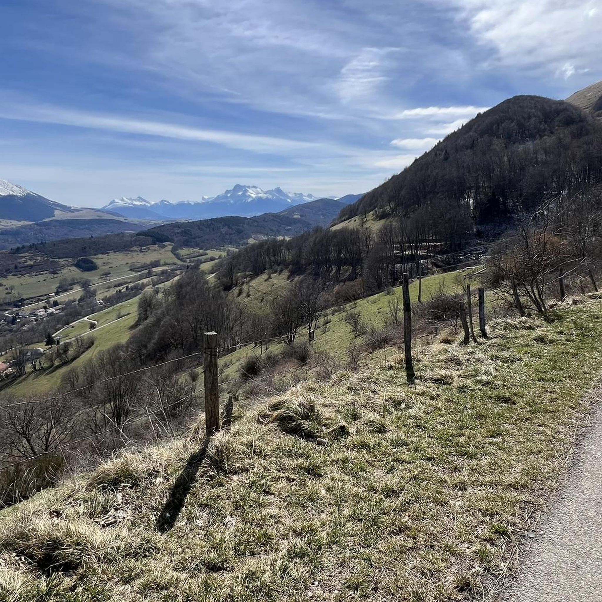
Gravel biking around Saint-Pierre-De-Mésage offers access to diverse landscapes within the Isère department, situated between the Vercors and Taillefer mountain ranges. The region features an extensive network of trails traversing mountains, plateaus, forests, and gorges. Cyclists can expect varied terrain, including hard gravel paths, forest tracks, and winding roads, providing options for different skill levels. The area is characterized by dramatic rockscapes, limestone formations, and extensive woodlands, with high-altitude passes like the Col du Cucheron and Col de Porte.
Best…
Last updated: October 19, 2026
5.0
(2)
22
riders
91.7km
06:05
1,510m
1,510m
Hard gravel ride. Very good fitness required. Mostly paved surfaces. Suitable for all skill levels.
5.0
(2)
10
riders
42.5km
03:16
1,100m
1,100m
Hard gravel ride. Very good fitness required. Mostly paved surfaces. Suitable for all skill levels.

4.0
(1)
2
riders
Moderate gravel ride. Good fitness required. Mostly paved surfaces. Suitable for all skill levels.
4.3
(4)
10
riders
42.9km
03:18
960m
960m
Hard gravel ride. Very good fitness required. Mostly paved surfaces. Suitable for all skill levels.
4
riders
60.8km
04:41
1,630m
1,630m
Hard gravel ride. Very good fitness required. Mostly paved surfaces. Suitable for all skill levels.
Get access to more routes and recommendations from other explorers.
Already have an account?
Our route recommendations are based on thousands of hikes, rides, and runs completed by other people on komoot.
Start today with a free account
Your next adventure awaits.

Tips from the Community

Superb gravel track to reach Lans-en-Vercors and Villars-de-Lans.
0
0
Joli chemin avec anciens tunnels et une pente régulière mais en vélo gravel le chemin est plutôt cassant et pas très agréable.
0
0

La ViaVercors, the first mountain greenway, offers a discovery route for tourism and leisure purposes over nearly 55 km. Located in the Vercors Regional Natural Park, it connects the municipalities of the territory to form an inter-municipal link for ecomobility. Engins, Saint-Nizier-du-Moucherotte, Lans-en-Vercors, Villard-de-Lans, Corrençon-en-Vercors, Autrans-Méaudre en Vercors, no municipality is forgotten.
0
0
The Via du Tram route, from Grenoble to Saint-Nizier-du-Moucherotte, follows the historic route of the tramway line built in 1909. This path takes you on a discovery of the region's wonders and its rich history. From the Resistance and its maquisards during World War II to the unique architecture of a former Olympic ski jump, you will visit, through fields, typical hamlets, and wooded valleys, environments with multiple curiosities. The 1,200 meters of elevation gain on the route will lead you to superb viewpoints.
0
0
The Via du Tram trail, from Grenoble to Saint-Nizier-du-Moucherotte, follows the historic route of the tramway line built in 1909. This path takes you on a discovery of the region's wonders and its rich history. From the Resistance and its partisans during World War II to the unique architecture of an old Olympic ski jump, you will visit, through fields, typical hamlets, and wooded valleys, environments with multiple points of interest. The trail's 1,200 meters of elevation gain will lead you to superb viewpoints.
0
0
The Via du Tram route, from Grenoble to Saint-Nizier-du-Moucherotte, follows the historic route of the tramway line built in 1909. This path takes you to discover the wonders of the region and its rich history. From the Resistance and its maquisards during the Second World War to the unique architecture of a former Olympic ski jump, you will visit, through fields, typical hamlets and wooded valleys, environments with multiple curiosities. The 1,200 meters of elevation gain on the route will lead you to superb viewpoints.
0
0

Overall, a smooth and comfortable gravel route. A few sections are a bit bumpier. Certainly the best option for a leisurely climb towards the Vercors mountains, safe and secure, in a beautiful setting and somewhat shaded when the sun is beating down.
1
0

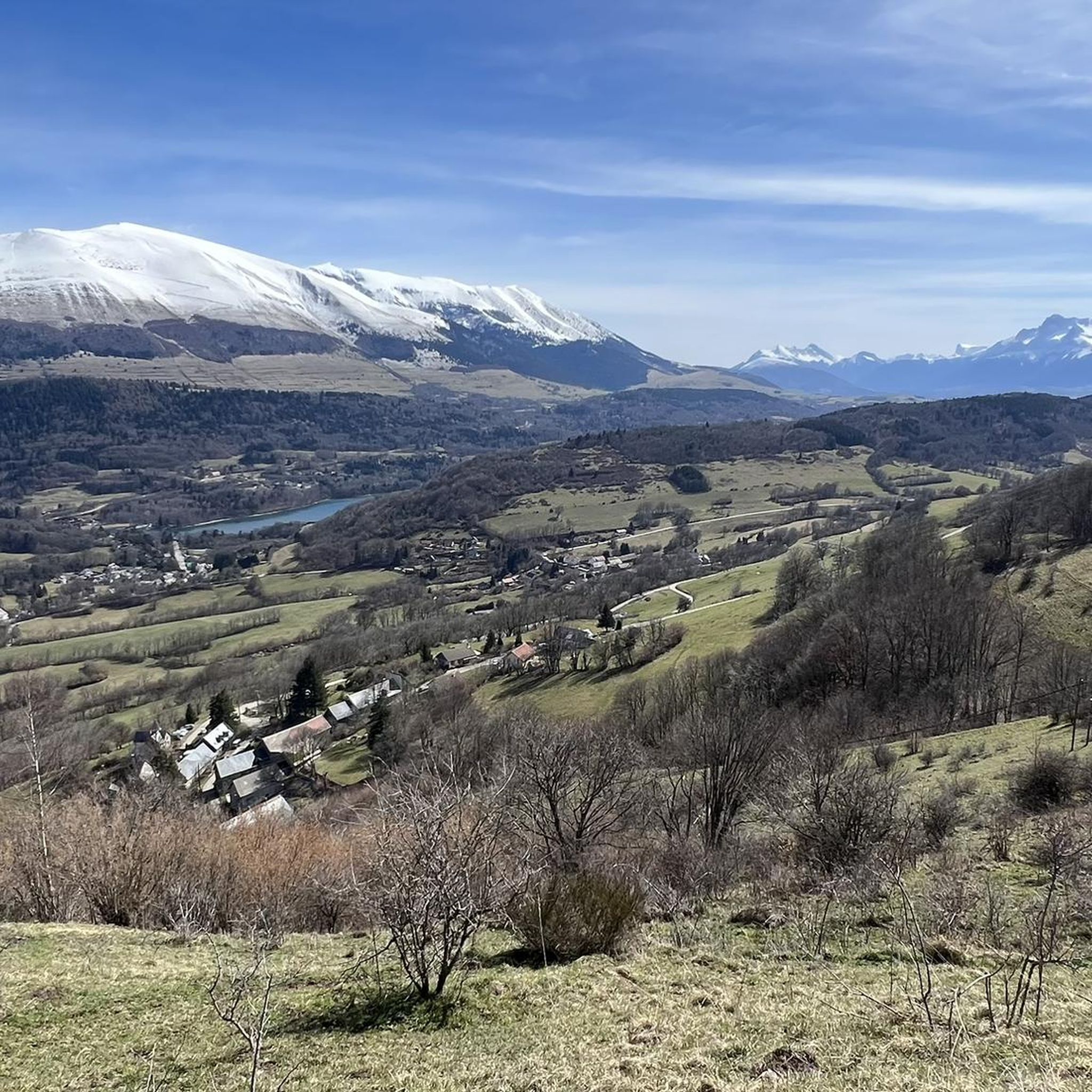
The little road that goes down from Cholonge is great and on arrival you have a superb view of Lake Lafrey
0
0
Frequently Asked Questions
What kind of terrain can I expect on gravel bike trails around Saint-Pierre-De-Mésage?
The region, situated between the Vercors and Taillefer mountain ranges, offers diverse terrain. You'll encounter hard gravel paths, forest tracks, and winding roads. Expect varied landscapes including mountains, plateaus, forests, and gorges, with features like dramatic rockscapes and limestone formations.
Are there any family-friendly gravel biking options in Saint-Pierre-De-Mésage?
While the routes listed in this guide are generally considered difficult, the broader Isère department, where Saint-Pierre-De-Mésage is located, offers a variety of trails. The Vercors Massif, for instance, has the 'ViaVercors' network with green, blue, and red trails that subtly blend paved roads and tracks, which may include more accessible sections suitable for families. It's best to check individual route details for specific difficulty levels.
What are some notable natural features or landmarks I might see while gravel biking here?
You can discover several interesting natural features and landmarks. The La Pierre Percée is a unique natural monument. You might also encounter the Pissarde Waterfall or the serene Étang de Haute-Jarrie. For impressive views, look for La Pierre du Soleil.
Are there any circular gravel bike routes available?
Yes, all the routes highlighted in this guide are circular. For example, you can explore the Four Lords Pass – Col des Quatre Seigneurs loop from Au Coin, which offers significant elevation gain through varied terrain. Another option is the challenging Nice View – Lake Monteynard loop from Saint-Georges-de-Commiers, providing panoramic views.
What is the general difficulty level of gravel bike trails in this area?
The gravel biking routes specifically listed for Saint-Pierre-De-Mésage are generally considered difficult. They often involve significant elevation gains and varied surfaces, combining road and trail sections. For instance, the Start of Balcon Est du Vercors – Col de l'Arzelier loop from Saint-Georges-de-Commiers covers over 60 km with more than 1600 meters of ascent.
What do other gravel bikers say about the trails in Saint-Pierre-De-Mésage?
The routes in Saint-Pierre-De-Mésage are highly rated by the komoot community, with an average score of 4.7 stars from over 5 reviews. More than 80 gravel bikers have used komoot to explore the varied terrain, often praising the mountain passes, forest paths, and views of the Vercors massif.
Can I find routes with views of the Vercors Massif?
Absolutely. Saint-Pierre-De-Mésage's proximity to the Vercors Massif means many routes offer stunning views. The View of the Vercors – View of the Drac River loop from La Motte-d'Aveillans is a great example, providing scenic vistas of this impressive mountain range and the Drac River.
Are there any historical sites or castles accessible by gravel bike?
Yes, the region offers opportunities to combine gravel biking with local heritage. The Château de Vizille is a notable historical site only about 3 km from Saint-Pierre-De-Mésage, making it a convenient stop or starting point for a ride.
What is the best time of year for gravel biking in Saint-Pierre-De-Mésage?
The diverse landscapes of the Isère department are generally enjoyable for gravel biking from spring through autumn. Summer offers warmer temperatures, while spring and autumn provide pleasant weather and vibrant scenery. Winter can be challenging due to potential snow and ice in higher elevations, especially in the Vercors and Taillefer massifs.
Are there any routes that feature lakes or water bodies?
Yes, you can find routes that incorporate beautiful water features. The Nice View – Lake Monteynard loop from Saint-Georges-de-Commiers is a challenging path that offers panoramic views and circuits around Lake Monteynard. Additionally, the The Trièves and Lake Monteynard lined up is a highlight in the area.
What kind of elevation gain can I expect on these trails?
The gravel bike trails around Saint-Pierre-De-Mésage often feature significant elevation gains, reflecting the mountainous terrain. For example, the Four Lords Pass – Col des Quatre Seigneurs loop from Au Coin includes over 750 meters of ascent, while the Start of Balcon Est du Vercors – Col de l'Arzelier loop from Saint-Georges-de-Commiers has over 1600 meters of climbing.
Are there any bridges or unique structures along the routes?
Yes, you might encounter interesting structures like the Rochefort footbridge. This bridge is also part of the Rochefort footbridge – Comboire Pass loop from Le Pont-de-Claix, offering a unique point of interest during your ride.
Most popular routes around Saint-Pierre-De-Mésage
Most popular attractions around Saint-Pierre-De-Mésage

Get inspired with the komoot mobile app


Explore more
Browse the best Gravel rides in other regions.
