The best gravel rides around Noyant-La-Gravoyère
4.5
(17)
121
riders
14
rides
Gravel biking around Noyant-La-Gravoyère offers diverse terrain within the Maine-et-Loire department of western France. The region is situated on the Segréen plateau, with elevations ranging from 32 to 102 meters, providing varied gradients for cycling. The landscape is characterized by numerous ponds, woodlands, and the river Verzée, which forms part of the commune's southern border. This environment, shaped by a history of mining, features a network of paths and trails suitable for gravel bikes, allowing for transitions between different surfaces.
…Last updated: July 16, 2026
4.3
(9)
35
riders
41.7km
02:08
200m
200m
Moderate gravel ride. Good fitness required. Mostly paved surfaces. Suitable for all skill levels.
4.0
(1)
29
riders
Moderate gravel ride. Good fitness required. Mostly paved surfaces. Suitable for all skill levels.

Sign up for free
10
riders
113km
06:31
660m
660m
Hard gravel ride. Very good fitness required. Mostly paved surfaces. Suitable for all skill levels.
5.0
(1)
10
riders
60.3km
03:13
260m
260m
Moderate gravel ride. Good fitness required. Mostly paved surfaces. Suitable for all skill levels.
5.0
(1)
8
riders
30.2km
01:38
200m
200m
Moderate gravel ride. Good fitness required. Mostly paved surfaces. Suitable for all skill levels.
Get access to more routes and recommendations from other explorers.
Sign up for free
Already have an account?
Our route recommendations are based on thousands of hikes, rides, and runs completed by other people on komoot.
Start today with a free account
Your next adventure awaits.
Login or Signup

Tips from the Community

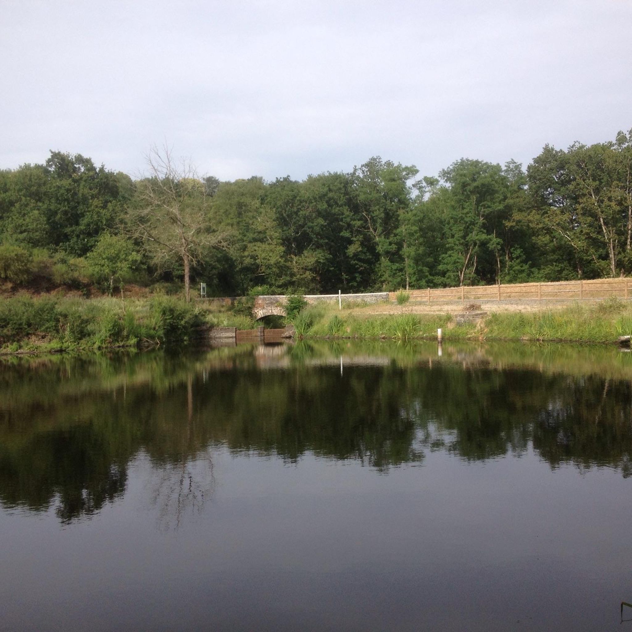
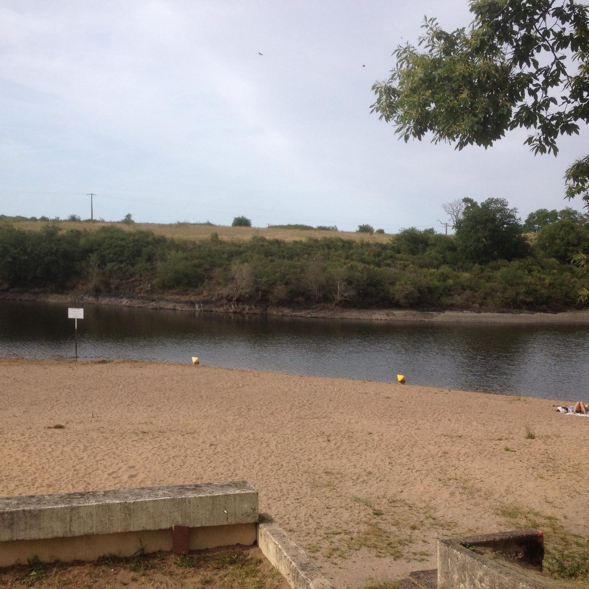
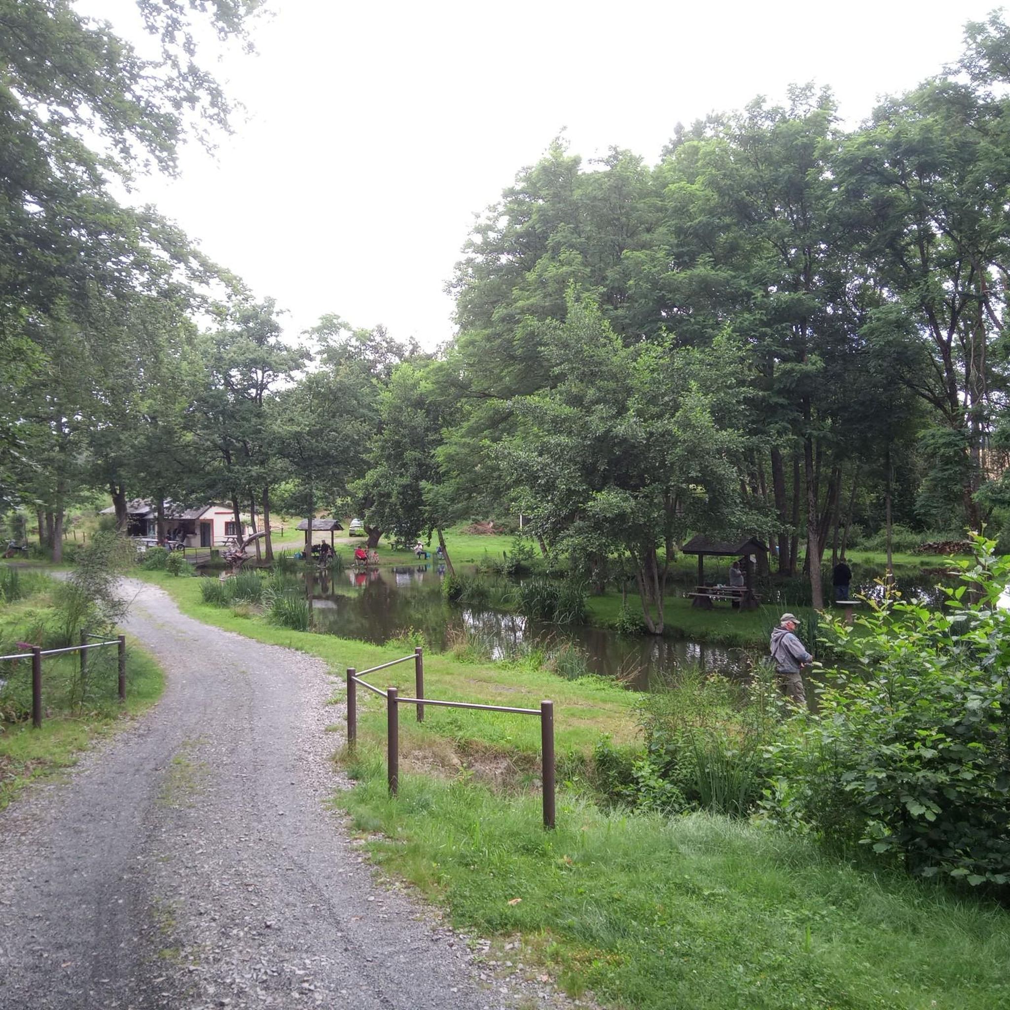
Path along the Oudon, park with playground and picnic area
0
0


Very smooth, compact sandy surface, easy to ride on a road bike
0
0

Beautiful views, perfect for cycling or walking
0
0


A fairly smooth old railway line with low gradients and lined with trees. Very pleasant on Gravel.
0
0

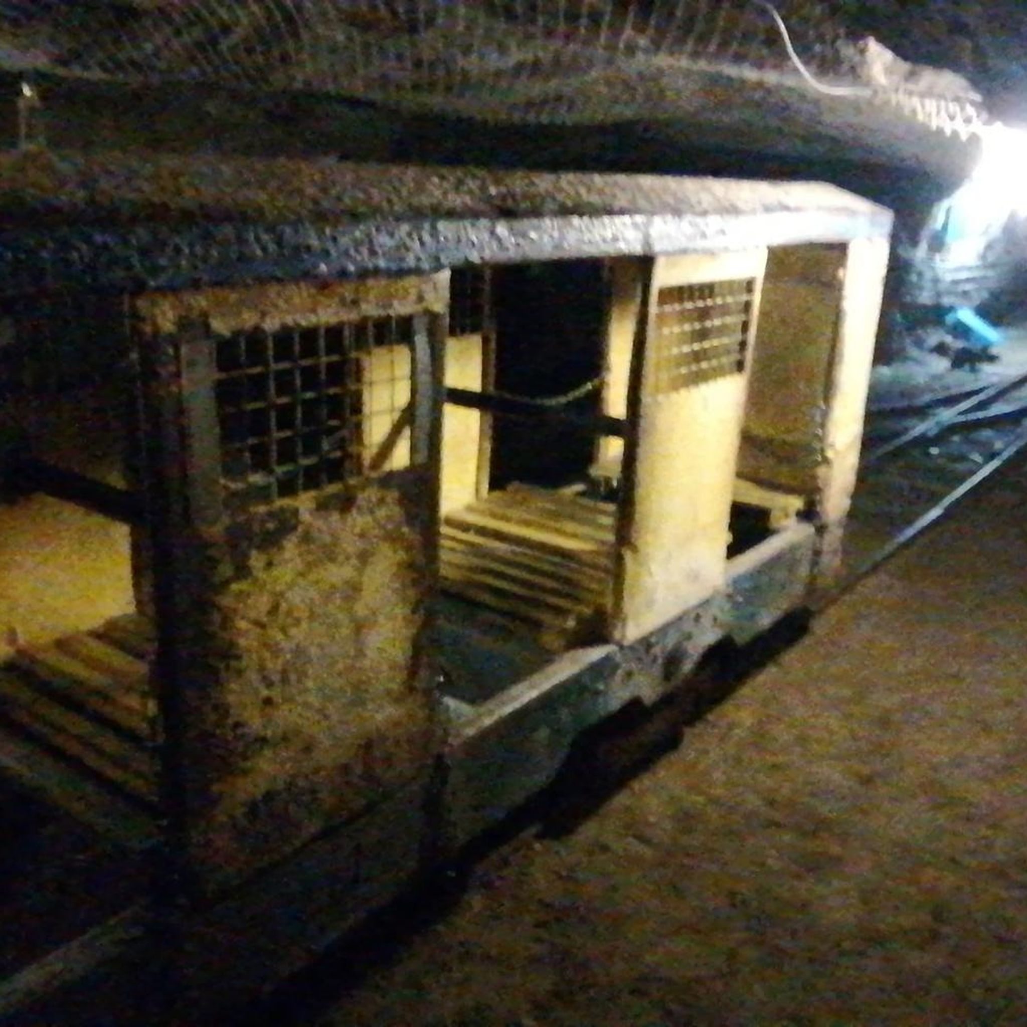
Established since 2006 on the industrial wasteland of the former Iron Mines of Segré-en-Anjou Bleu, the Centrale 7 association offers workshops to artists, collectives, companies, etc. and works on artistic creation and dissemination in rural areas.
1
0

defended Anjou against the Marches of Brittany - besieged several times during the 100 Years' War
0
0
Frequently Asked Questions
How many gravel bike trails are available in Noyant-La-Gravoyère?
There are over 20 gravel bike routes documented around Noyant-La-Gravoyère, offering a variety of experiences for cyclists. The komoot community has explored these trails more than 80 times.
What is the typical difficulty level of gravel biking routes in this region?
Most gravel routes in Noyant-La-Gravoyère are considered moderate, with 19 out of 21 routes falling into this category. There is also one easy route and one difficult route available, catering to different skill levels.
What kind of terrain can I expect on gravel bike trails around Noyant-La-Gravoyère?
The terrain is quite varied, reflecting the region's diverse landscape. You'll encounter wooded paths, trails winding around numerous ponds, and routes that highlight the area's mining heritage. The Segréen plateau offers a mix of surfaces, ideal for gravel biking.
Are there any family-friendly gravel bike trails in Noyant-La-Gravoyère?
While specific 'family-friendly' designations aren't always explicit, the presence of easy and moderate routes, combined with the scenic paths around ponds and through woodlands, suggests many trails could be suitable for families. For a moderate option, consider the Blue Bridge over the Oudon in Segré – Green route loop from Segré, which is 41.8 km long and explores the river area.
What are the elevation gains like on gravel routes in Noyant-La-Gravoyère?
The region, situated on the Segréen plateau, has elevations ranging from 32 to 102 meters. This means you'll encounter varied gradients, but generally, the elevation gains are manageable. For example, the Hippodrome du Lion-d'Angers – Blue Bridge over the Oudon in Segré loop from Segré route has an elevation gain of approximately 370 meters over 67.6 km.
What interesting landmarks or attractions can I see along the gravel bike trails?
The region's history of mining and its natural beauty offer several points of interest. You might encounter sites like the unique La Mine Bleue, an old slate mine, or enjoy the tranquility of Saint-Blaise Pond. The Blue Bridge over the Oudon in Segré is also a notable feature on some routes.
Are there circular gravel bike routes available?
Yes, many of the gravel routes in the area are designed as loops, making them convenient for starting and ending at the same point. Examples include the Mirwault Lock – Mayenne Viaduct loop from L'Hôtellerie-de-Flée and the Segré – Blue Bridge over the Oudon in Segré loop from Bel-Air de Combrée.
What do other gravel bikers enjoy most about gravel biking in Noyant-La-Gravoyère?
The komoot community highly rates the gravel biking experience here, with an average score of 4.7 stars from over 10 reviews. Riders often praise the varied terrain, the peaceful wooded paths, and the opportunity to explore the region's unique blend of natural settings and historical mining sites.
When is the best time of year for gravel biking in Noyant-La-Gravoyère?
While specific data isn't available, western France generally enjoys mild weather. Spring and autumn typically offer pleasant temperatures and beautiful scenery, making them ideal for gravel biking. Summers can be warm, and winters can be damp, so checking local weather forecasts is always recommended.
Can I bring my dog on the gravel bike trails?
Many outdoor trails in France are dog-friendly, especially if your dog is well-behaved and kept on a leash. However, it's always best to check specific regulations for individual parks or natural areas you plan to visit. Be mindful of local wildlife and other trail users.
Where can I find parking for gravel biking trails in Noyant-La-Gravoyère?
Many routes start from towns or villages like Segré or L'Hôtellerie-de-Flée, where public parking is usually available. For example, routes like the Blue Bridge over the Oudon in Segré – Étang de Saint-Aubin loop from Segré typically begin in areas with accessible parking.
Are there any cafes or places to stop for refreshments along the routes?
The region has several small towns and villages. While specific cafe stops aren't listed for every route, planning your ride to pass through places like Segré or other local hamlets will likely provide opportunities for refreshments. It's always a good idea to carry sufficient water and snacks, especially on longer rides.
Most popular routes around Noyant-La-Gravoyère
Most popular attractions around Noyant-La-Gravoyère

Get inspired with the komoot mobile app


Explore more
Browse the best Gravel rides in other regions.
