The best gravel rides around Vernou-La-Celle-Sur-Seine
4.7
(74)
498
riders
76
rides
Gravel biking around Vernou-La-Celle-Sur-Seine offers diverse terrain in the Seine-et-Marne department of north-central France. The region features a mix of rural landscapes, wooded paths, and open countryside, ideal for mixed-surface cycling. Riders can explore areas along the Seine and Loing rivers, including sections of the "La Seine à Vélo" route, and varied elevations around the Mont de Vernou, which is a prominent hill. This environment provides a range of unpaved roads and tracks suitable for gravel bikes, including extensive trails…
Last updated: July 16, 2026
4.6
(10)
64
riders
45.0km
02:28
130m
130m
Moderate gravel ride. Good fitness required. Mostly paved surfaces. Suitable for all skill levels.
4.2
(5)
14
riders
58.1km
03:46
350m
350m
Hard gravel ride. Good fitness required. You may need to push your bike for some segments of this route.

Sign up for free
5.0
(1)
6
riders
54.9km
04:17
550m
550m
Hard gravel ride. Very good fitness required. Mostly paved surfaces. Suitable for all skill levels.
4.5
(11)
68
riders
100km
04:59
230m
230m
Moderate gravel ride. Good fitness required. Mostly paved surfaces. Suitable for all skill levels.
5.0
(1)
14
riders
Easy gravel ride. Great for any fitness level. Mostly paved surfaces. Suitable for all skill levels.
Get access to more routes and recommendations from other explorers.
Sign up for free
Already have an account?
Our route recommendations are based on thousands of hikes, rides, and runs completed by other people on komoot.
Start today with a free account
Your next adventure awaits.
Login or Signup
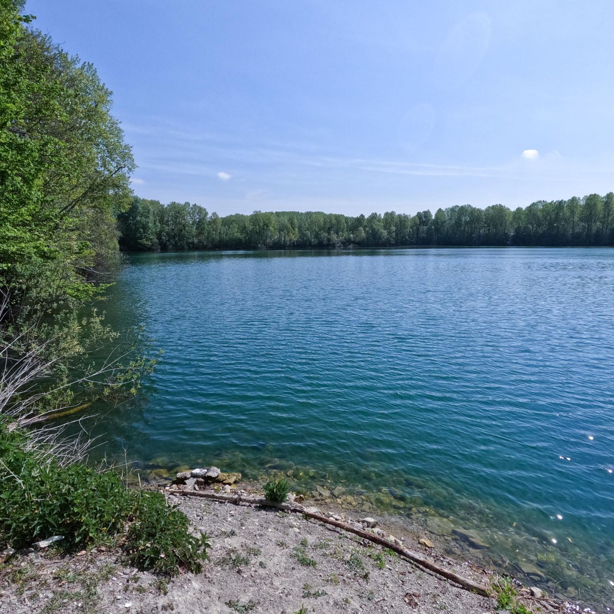
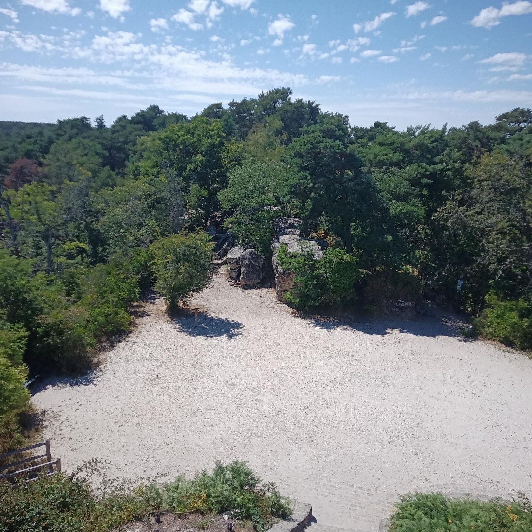
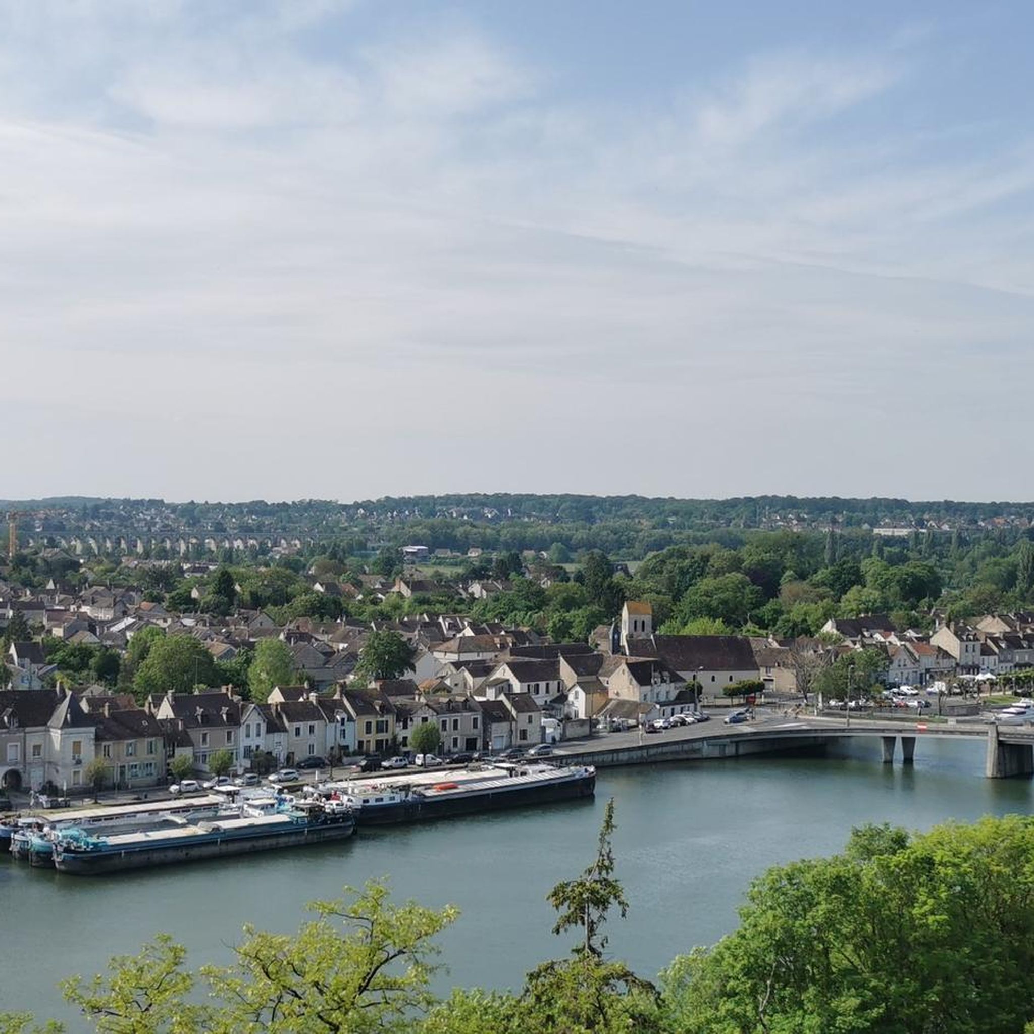
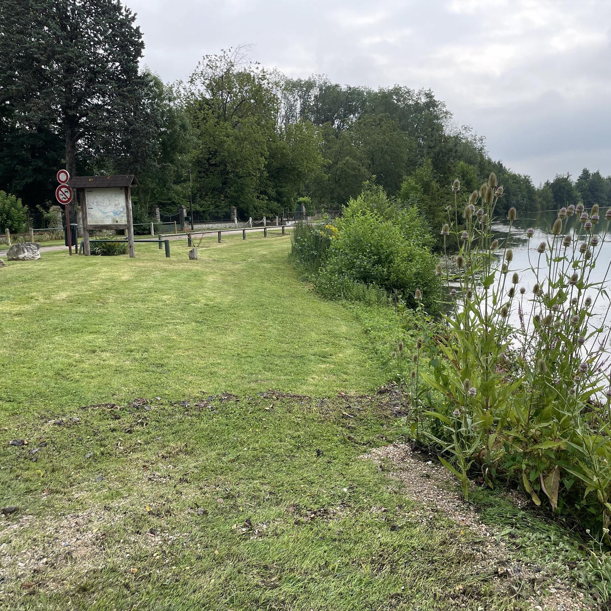
Tips from the Community


The former fortress and picturesque medieval town of Moret-sur-Loing lies on the edge of the Fontainebleau Forest and the peacefully flowing Loing River. This postcard-perfect town is indeed extremely photogenic. The most beautiful views are from the old bridge or from the right bank of the Loing.
1
0
Peaceful, quiet, secure, rolling and relaxing decor
0
0
No cycling in the castle grounds... on foot only
0
0

A striking contrast in the quality of the road or the developments of the Briard Canal are painful to see compared to those of the Orléans Canal.
0
0
Canal still in operation, allowing for barge racing. Road quality is very average.
0
0

"Built by King Louis IX in 998 as a simple hunting lodge in the heart of the "Ile de France," Fontainebleau soon fell into obscurity. It wasn't until Francis I discovered his love for Fontainebleau and elevated it to a royal residence that the palace's true history began, as the ancestral home of the French kings. Henry IV had the complex expanded, and under Napoleon I, the building was extensively restored as the first imperial residence." With these words, a text on the media library's website introduces a 15-minute film (in German) about the UNESCO World Heritage Site. If you're interested, see => https://www.ardmediathek.de/video/schaetze-der-welt/fontainebleau-frankreich-folge-19/swr/Y3JpZDovL3N3ci5kZS83MjQ1NTMy
0
0
Frequently Asked Questions
How many gravel bike trails are available around Vernou-La-Celle-Sur-Seine?
There are over 70 gravel bike trails in the Vernou-La-Celle-Sur-Seine area, offering a wide range of options for different preferences and skill levels. The komoot community has explored these routes over 400 times.
What kind of terrain can I expect on gravel bike trails in this region?
The region offers diverse terrain, perfect for gravel biking. You'll find a mix of rural landscapes, wooded paths, and open countryside. Routes often pass through orchards and valleys, with sections along the Seine River and varied elevations around the Mont de Vernou, the highest point in the southwest of Seine-et-Marne. Some parts of the 'La Seine à Vélo' route also include bumpy gravel roads or dirt singletrack.
Are there options for different skill levels, including beginner-friendly routes?
Yes, the area caters to various skill levels. Out of the 73 available routes, 18 are considered easy, 44 are moderate, and 11 are difficult. For a moderate ride with varied terrain near the Seine River, consider the Chartrettes Bridge – Les Affolantes loop from Moret-sur-Loing - Veneux-les-Sablons.
What natural features or landmarks can I see while gravel biking in the area?
You can explore a variety of natural and historical sites. The Mont de Vernou offers scenic views and varied terrain. Along the routes, you might encounter geological formations like the Tufs de La Celle, or discover natural monuments such as the Béatrix Cave or the Fairy Pond. The Seine River itself provides picturesque views and gentle gradients.
Are there any long-distance gravel routes for experienced riders?
For those seeking a longer challenge, the Loing Canal – Loing Canal near Épisy loop from Saint-Mammès is a great option. This moderate 100 km (62.3 miles) path follows the scenic Loing Canal, providing extensive sections to cover.
Can I find routes with significant elevation gain for a more challenging ride?
Absolutely. If you're looking for a more challenging ride with notable climbs, the Mont Aigu – Fontainebleau Castle loop from Champagne-sur-Seine is a difficult 56.5 km (35.1 miles) trail that includes over 550 meters of elevation gain, taking you through varied terrain including the Mont Aigu hill.
What do other cyclists say about gravel biking in Vernou-La-Celle-Sur-Seine?
The area is highly rated by the komoot community, with an average score of 4.5 stars from over 50 reviews. Riders often praise the diverse landscapes, the mix of forest and countryside sequences, and the tranquil natural settings away from traffic.
Are there any historical or cultural attractions accessible by gravel bike?
While primarily focused on natural landscapes, some routes pass near historical points of interest. For example, the Mont Aigu – Fontainebleau Castle loop from Champagne-sur-Seine brings you close to the renowned Fontainebleau Castle. You might also encounter other landmarks like the Calvary Cross on routes such as the Calvary Cross – Calvary Cross loop from Champagne-sur-Seine.
Are there circular gravel bike routes available?
Yes, many of the gravel routes in the Vernou-La-Celle-Sur-Seine area are designed as loops, allowing you to start and finish at the same point. This makes planning your ride and return journey straightforward. For instance, the Loing River Banks – Samois Port and Quays loop from Gare de Moret-Veneux-les-Sablons is a popular circular option.
What is the best time of year for gravel biking in Vernou-La-Celle-Sur-Seine?
The region's diverse terrain, including forest paths and rural roads, makes it enjoyable for gravel biking across multiple seasons. Spring and autumn offer pleasant temperatures and vibrant scenery. Summer is also suitable, though some paths might be dustier. Winter rides are possible, but checking local conditions for mud or ice on unpaved sections is advisable.
Is there information on parking or public transport access for these trails?
While specific parking details for every trailhead are not provided here, the commune's location on the right bank of the Seine River, approximately 80 kilometers southeast of Paris, suggests various access points. Many routes start from nearby towns or villages which typically offer public parking. For public transport, checking local train or bus services to towns like Moret-sur-Loing or Champagne-sur-Seine, which are starting points for some routes, would be beneficial.
Most popular routes around Vernou-La-Celle-Sur-Seine
Most popular attractions around Vernou-La-Celle-Sur-Seine

Get inspired with the komoot mobile app


Explore more
Browse the best Gravel rides in other regions.
