The best gravel rides around Lardier-Et-Valença
4.0
(3)
35
riders
10
rides
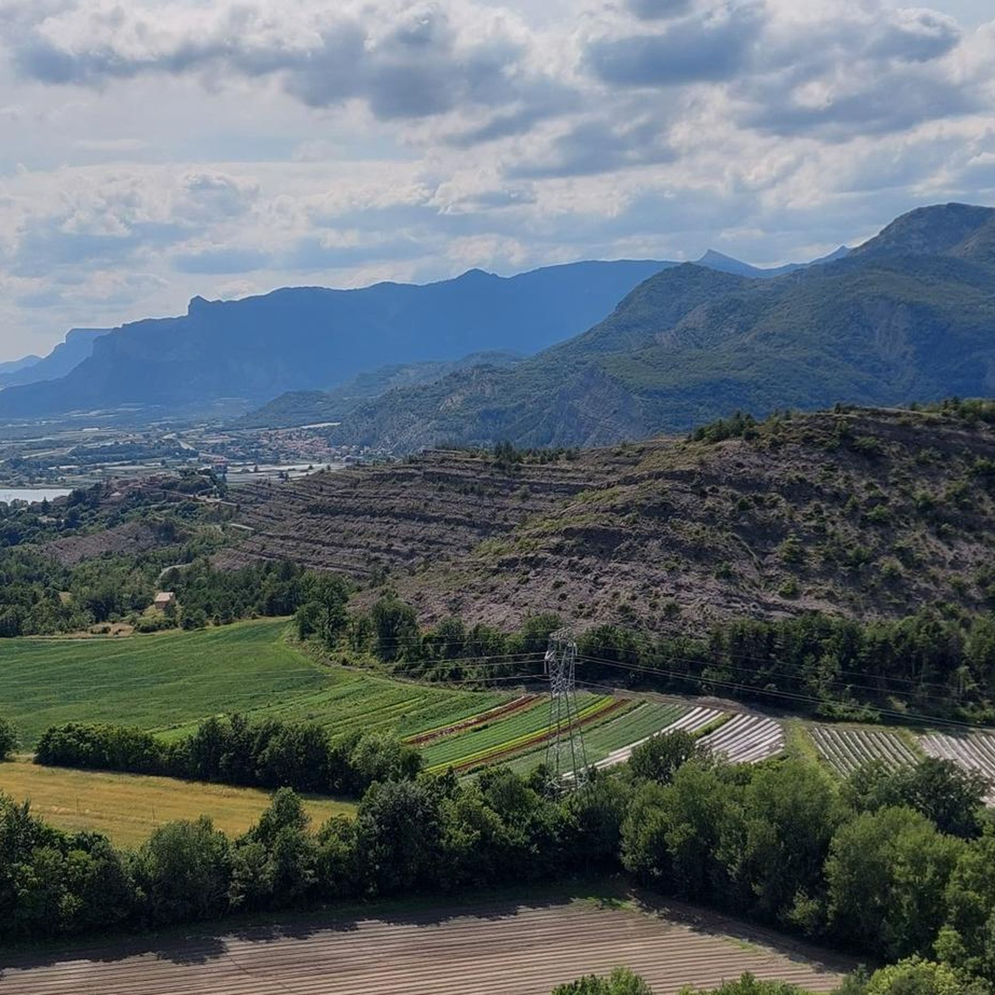
Gravel biking around Lardier-Et-Valença offers a diverse landscape characterized by its proximity to the French Alps foothills. The region features a mix of lake circuits, challenging mountain passes, and riverbank trails. Riders can expect varied terrain, from rolling hills to more demanding ascents, providing a dynamic experience for gravel enthusiasts.
Best gravel bike trails around Lardier-Et-Valença
- The most popular gravel bike trail is Pelleautier Lake – Lake Pelleautier loop from Pelleautier, a 17.2 miles (27.7 km) trail that takes…
Last updated: August 26, 2026
4.0
(2)
14
riders
28.7km
02:14
540m
540m
Hard gravel ride. Very good fitness required. Mostly paved surfaces. Suitable for all skill levels.
4
riders
Hard gravel ride. Very good fitness required. Mostly paved surfaces. Suitable for all skill levels.

Sign up for free
4
riders
18.2km
01:16
250m
250m
Moderate gravel ride. Good fitness required. Mostly paved surfaces. Suitable for all skill levels.
4.0
(1)
9
riders
42.4km
03:19
1,130m
1,130m
Hard gravel ride. Very good fitness required. Mostly paved surfaces. Suitable for all skill levels.
4
riders
28.4km
02:33
740m
740m
Hard gravel ride. Very good fitness required. Mostly paved surfaces. Suitable for all skill levels.
Get access to more routes and recommendations from other explorers.
Sign up for free
Already have an account?
Our route recommendations are based on thousands of hikes, rides, and runs completed by other people on komoot.
Start today with a free account
Your next adventure awaits.
Login or Signup
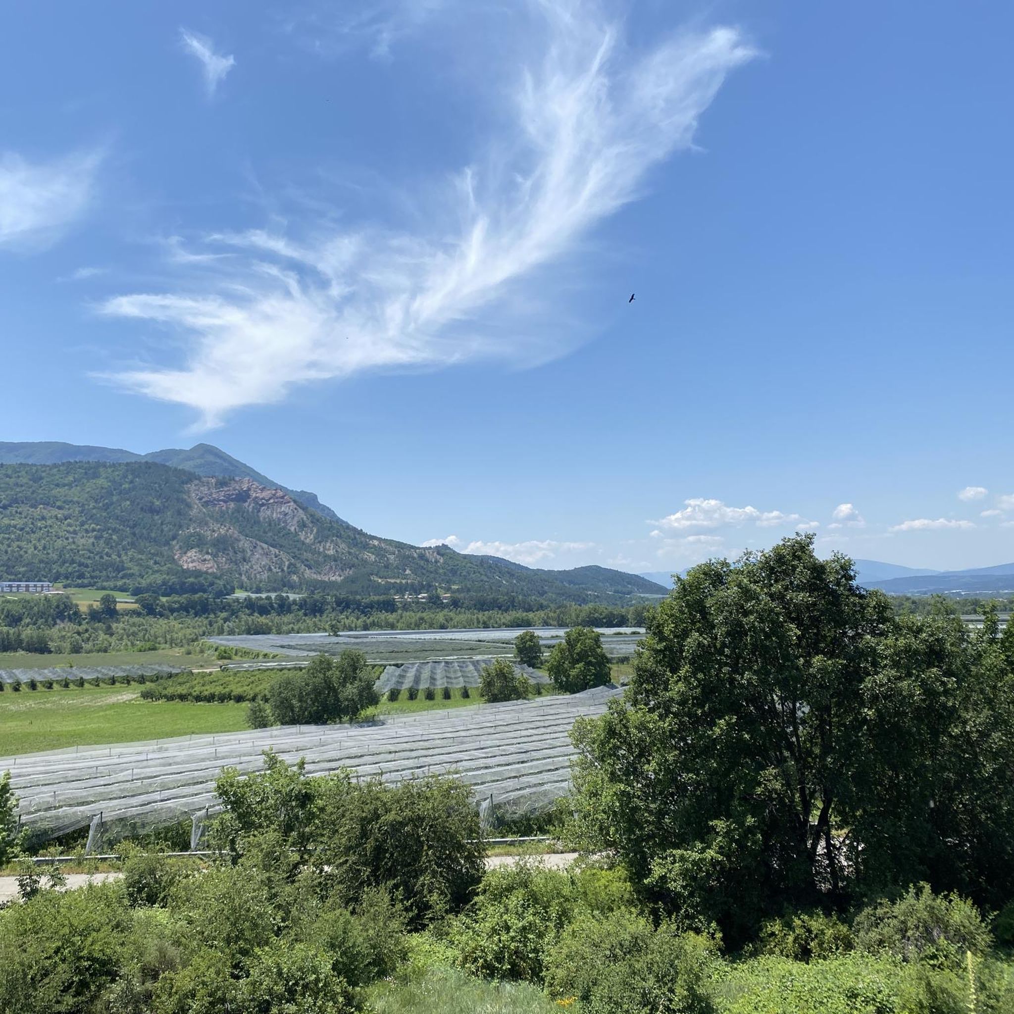
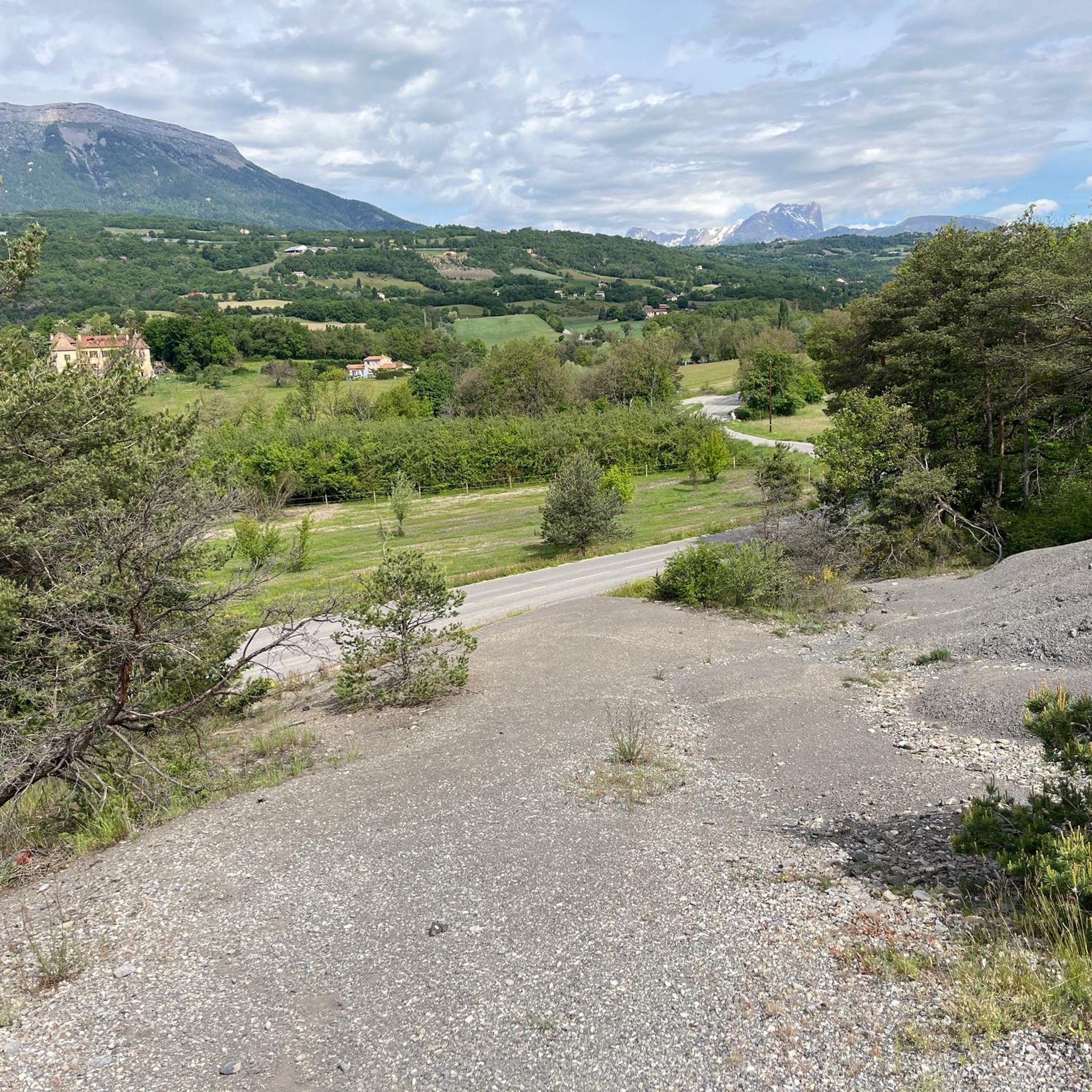
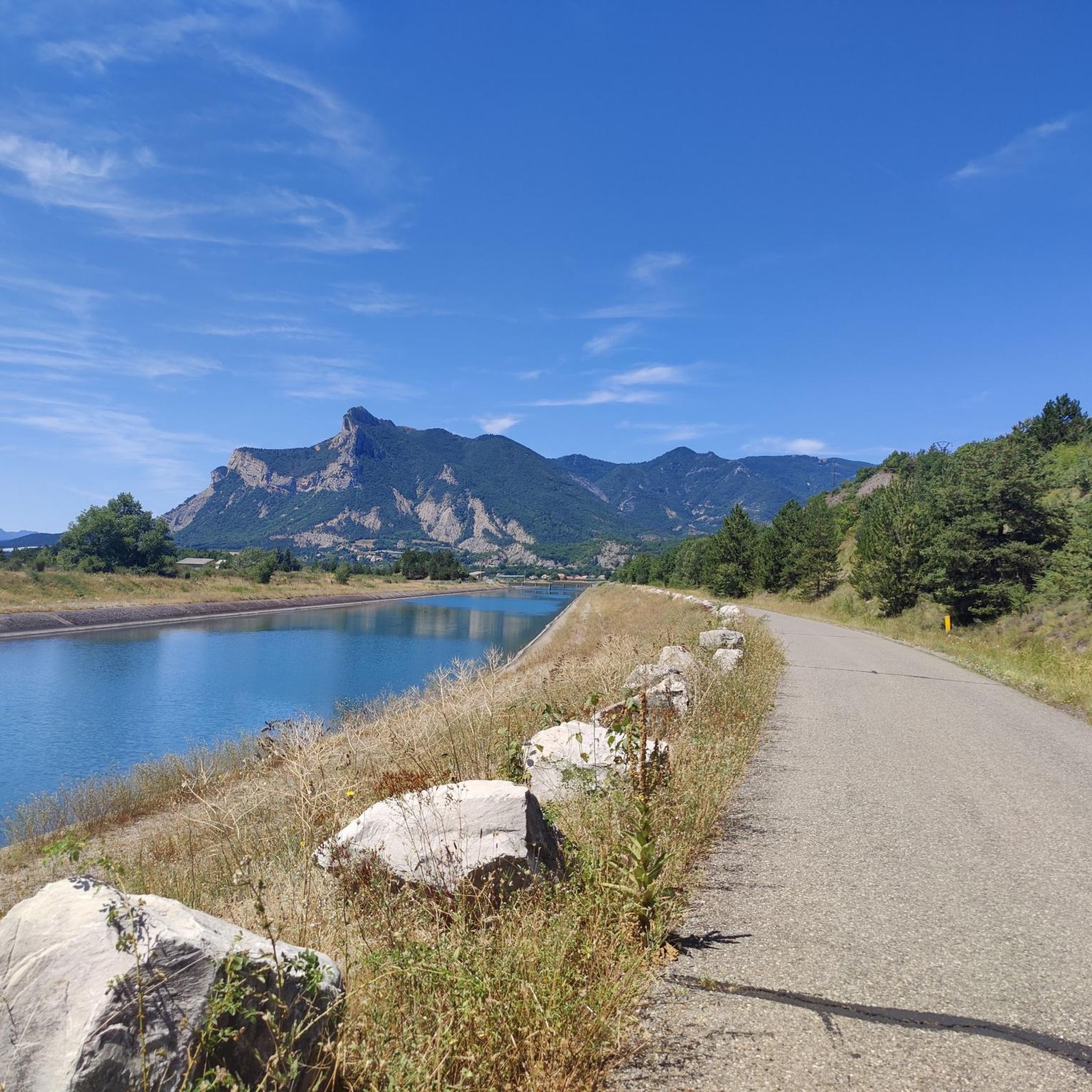
Tips from the Community

The Col d'Espreaux is a climb located in the Hautes-Alpes region. This climb is 12.2 km long, with a total elevation gain of 585 m. The Col d'Espreaux has an average gradient of 4.8%.
18
0
The water here is very good and fresh.
17
0
You can safely drink the water here.
12
0
Tallard is a French commune with 1,996 inhabitants located in the Hautes-Alpes department in the Provence-Alpes-Côte d'Azur region. 570-1,121 m above sea level.
15
0
The Col de Foureyssasse from La Saulce is a climb located in the Hautes-Alpes region. This climb is 7 km long, with a total elevation gain of 461 m. The Col de Foureyssasse from La Saulce has an average gradient of 6.6%.
11
0


A pass lost in the mountains, a very small road with very few cars and magnificent landscapes
2
0
Frequently Asked Questions
How many gravel bike trails are available in Lardier-Et-Valença?
There are 13 gravel bike routes in the Lardier-Et-Valença region, offering a variety of experiences from lake circuits to mountain passes. Most of these routes are rated as difficult, with a few moderate options available.
Are there any easy gravel bike trails for beginners in Lardier-Et-Valença?
While the Lardier-Et-Valença region is known for its more challenging terrain, featuring many difficult routes, there are a few moderate options. For example, the Tallard Castle – Le Rousine Riverbank loop from Lotissement Le Pré du Château is a moderate 18.4 km route that takes about 1 hour 32 minutes to complete, offering a gentler introduction to gravel biking in the area.
What are the longest gravel bike routes in Lardier-Et-Valença?
For those seeking a longer challenge, the Espréaux Pass – Guérins Pass loop from Sigoyer is the longest at 42.4 km, featuring significant elevation changes. Another substantial option is the Pic de Crigne – EDF Canal Cycle Path loop from Fouillouse, which covers 33.3 km.
Are there any circular gravel bike routes in the Lardier-Et-Valença area?
Yes, many of the gravel bike routes in Lardier-Et-Valença are designed as loops, allowing you to start and finish in the same location. Examples include the scenic Pelleautier Lake – Lake Pelleautier loop from Pelleautier and the challenging Espréaux Pass – Guérins Pass loop from Sigoyer.
What kind of views and landmarks can I expect along the gravel trails?
The gravel trails around Lardier-Et-Valença offer diverse scenery, from lake shores and river valleys to mountain passes. You can encounter historical sites like Tallard Castle, and enjoy expansive vistas from points like Espréaux Pass or Ceuze pike. The region's proximity to the French Alps foothills ensures a dramatic backdrop for your rides.
Are there any specific mountain passes to explore on a gravel bike?
Absolutely. The region is characterized by its mountain passes. You can ride through the challenging Espréaux Pass, which is featured in the Espréaux Pass – Guérins Pass loop from Sigoyer. Other notable passes in the vicinity include Faye Pass and Verniers Pass, offering varied terrain and stunning views.
What do other gravel bikers say about the trails in Lardier-Et-Valença?
The gravel biking routes in Lardier-Et-Valença are highly regarded by the komoot community, holding an average rating of 4.0 stars from 5 reviews. Riders frequently praise the diverse landscape, which includes a mix of lake circuits, challenging mountain passes, and scenic riverbank trails, providing a dynamic experience for all skill levels.
Are there any routes that pass by historical sites?
Yes, the Tallard Castle – Le Rousine Riverbank loop from Lotissement Le Pré du Château is a moderate route that leads you past historical sites, including the impressive Tallard Castle. You might also encounter other historical points of interest like Clausonne Abbey in the broader region.
What is the best season for gravel biking in Lardier-Et-Valença?
Given the region's proximity to the French Alps foothills, spring and autumn generally offer the most pleasant conditions for gravel biking, with milder temperatures and vibrant scenery. Summer can be warm, especially on exposed sections, while winter might bring colder temperatures and potential snow at higher elevations, particularly around the mountain passes.
Are there any routes with significant elevation changes for advanced riders?
Advanced riders will find plenty of challenges in Lardier-Et-Valença. The Espréaux Pass – Guérins Pass loop from Sigoyer, for instance, features over 1100 meters of elevation gain. Another demanding option is the Lower Ceüse Balcony Trail – Guérins Pass loop from Manteyer, with over 700 meters of ascent, navigating through mountainous terrain.
Can I find routes that combine lake views with gravel paths?
Certainly. The Pelleautier Lake – Lake Pelleautier loop from Pelleautier is a prime example, offering scenic views around Pelleautier Lake on a challenging 27.7 km gravel trail. This route provides a beautiful blend of waterside riding and varied terrain.
Most popular routes around Lardier-Et-Valença
Most popular attractions around Lardier-Et-Valença

Get inspired with the komoot mobile app


Explore more
Browse the best Gravel rides in other regions.
