The best gravel rides around Malaucène
4.4
(160)
1,794
riders
147
rides
Gravel biking around Malaucène offers diverse terrain at the foot of Mont Ventoux in Provence, France. The region features a mix of gravel trails and country roads, providing varied surfaces for cyclists. Landscapes include vineyards, lavender fields, and areas with distinct red sand from old ochre quarries. The surrounding area is characterized by significant elevation changes, with routes leading through passes and offering views of the Dentelles de Montmirail.
Best gravel bike trails around Malaucène
- The most popular gravel bike…
Last updated: July 3, 2026
4.7
(3)
69
riders
60.1km
04:40
1,840m
1,840m
Hard gravel ride. Very good fitness required. Mostly paved surfaces. Suitable for all skill levels.
5.0
(1)
19
riders
86.4km
06:47
2,410m
2,410m
Hard gravel ride. Very good fitness required. Mostly paved surfaces. Suitable for all skill levels.

Sign up for free
5.0
(4)
20
riders
23.7km
01:46
690m
690m
Hard gravel ride. Very good fitness required. Mostly paved surfaces. Suitable for all skill levels.
3.8
(4)
19
riders
27.8km
01:58
600m
600m
Hard gravel ride. Very good fitness required. Mostly paved surfaces. Suitable for all skill levels.
4.0
(1)
14
riders
37.3km
02:32
680m
680m
Hard gravel ride. Very good fitness required. Mostly paved surfaces. Suitable for all skill levels.
Get access to more routes and recommendations from other explorers.
Sign up for free
Already have an account?
Our route recommendations are based on thousands of hikes, rides, and runs completed by other people on komoot.
Start today with a free account
Your next adventure awaits.
Login or Signup
Popular around Malaucène



Tips from the Community


The last 6 kilometers demand everything, wind gusts and constantly steep ascents.
0
0

The last few kilometers are no longer that steep, apart from a few ramps, and the destination is in sight.
0
0
You made it, this is the proof, and you conquered an absolute classic of cycling.
0
0
Breathtaking ride through this unique moonscape.
0
0

and fight the climbs once again ;)
0
0
We did the bike tour in the fall. Because of the wind on Mont Ventoux, it felt even colder than the actual temperature. So, be sure to pack warm clothes; maybe even change your clothes at the summit. It didn't get any warmer during the descent ;). We would have liked to have brought warm gloves. Overall: fantastic!
0
0

What an experience!!!
0
1
Frequently Asked Questions
How many gravel bike trails are available around Malaucène?
There are over 20 gravel bike trails around Malaucène, offering a variety of experiences for different skill levels. The komoot community has explored these routes over 1,900 times, giving them an average rating of 4.5 stars.
What kind of terrain can I expect on gravel bike trails near Malaucène?
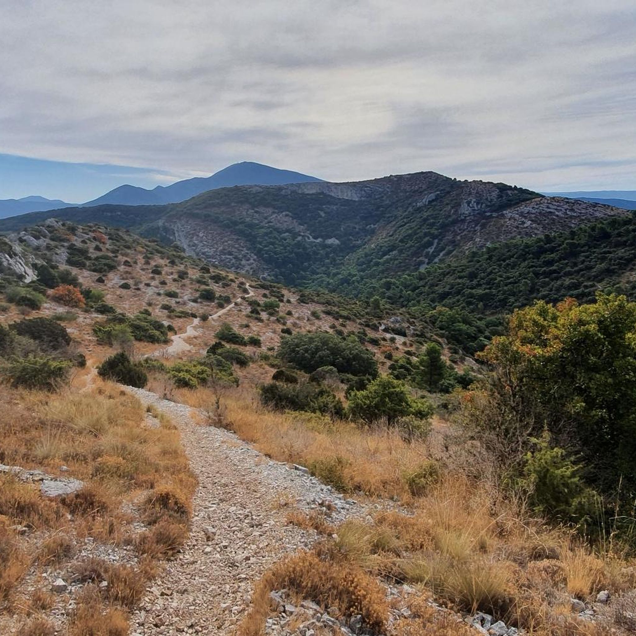
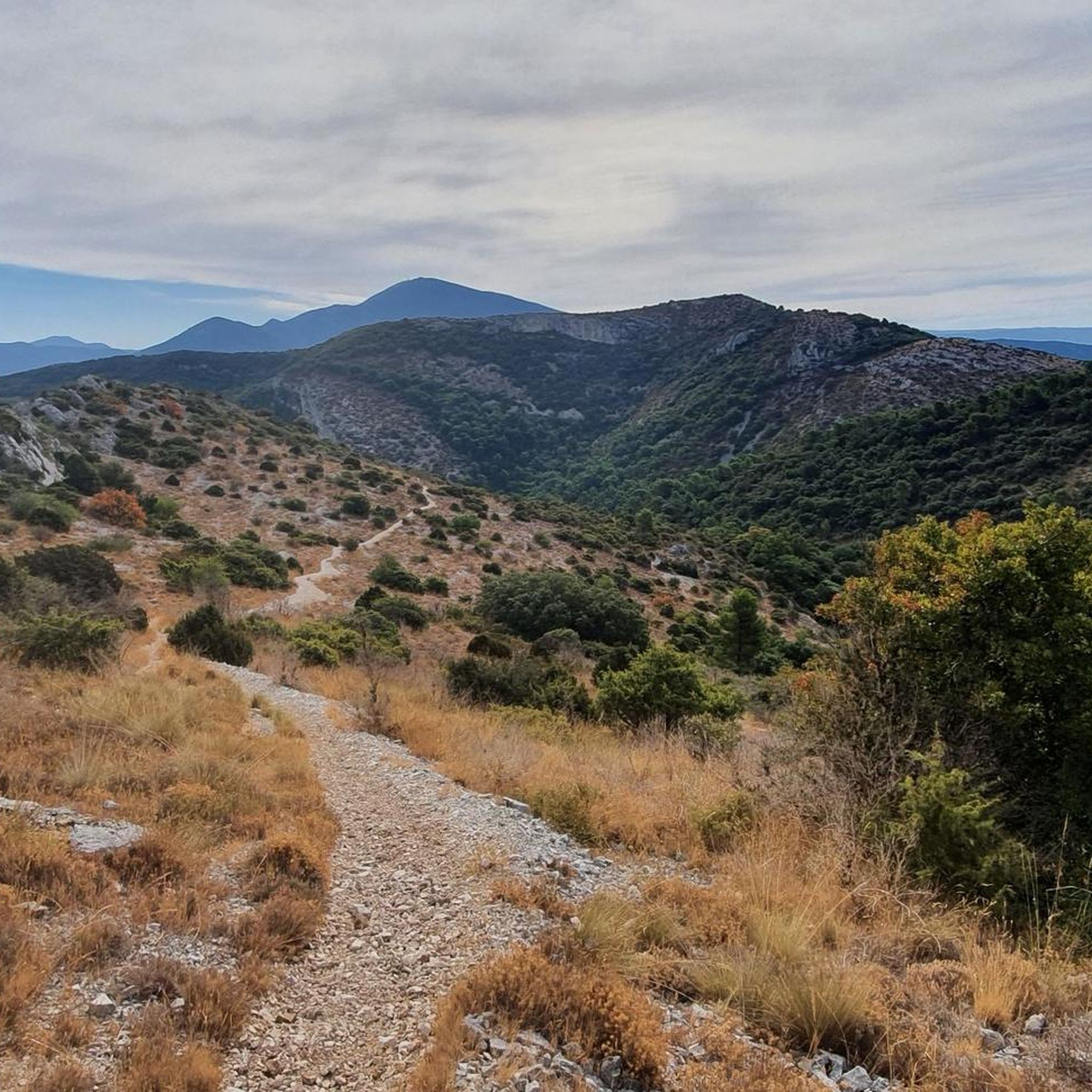
The terrain around Malaucène is quite varied, ranging from smooth gravel paths to sections with larger rocks, especially in areas like the old ochre quarries. You'll also encounter scenic country roads, vineyards, and lavender fields. Expect significant elevation changes, as many routes lead through passes and offer views of the surrounding Provençal landscape.
Are there any family-friendly gravel biking options in Malaucène?
While many routes around Malaucène feature significant elevation gains and are rated as 'difficult,' the region does offer diverse terrain. For families, it's best to look for shorter, less steep sections, perhaps exploring the flatter country roads through vineyards. Always check the route's elevation profile and distance before heading out with children.
Can I bring my dog on the gravel bike trails around Malaucène?
Many natural areas in Provence, including parts of the Parc Naturel Régional du Mont Ventoux, have specific regulations regarding dogs, often requiring them to be on a leash. While cycling with dogs is generally permitted on public trails, it's always best to check local signage or park regulations for specific routes to ensure a pleasant and safe experience for everyone.
What are some notable natural features or landmarks I can see while gravel biking in Malaucène?
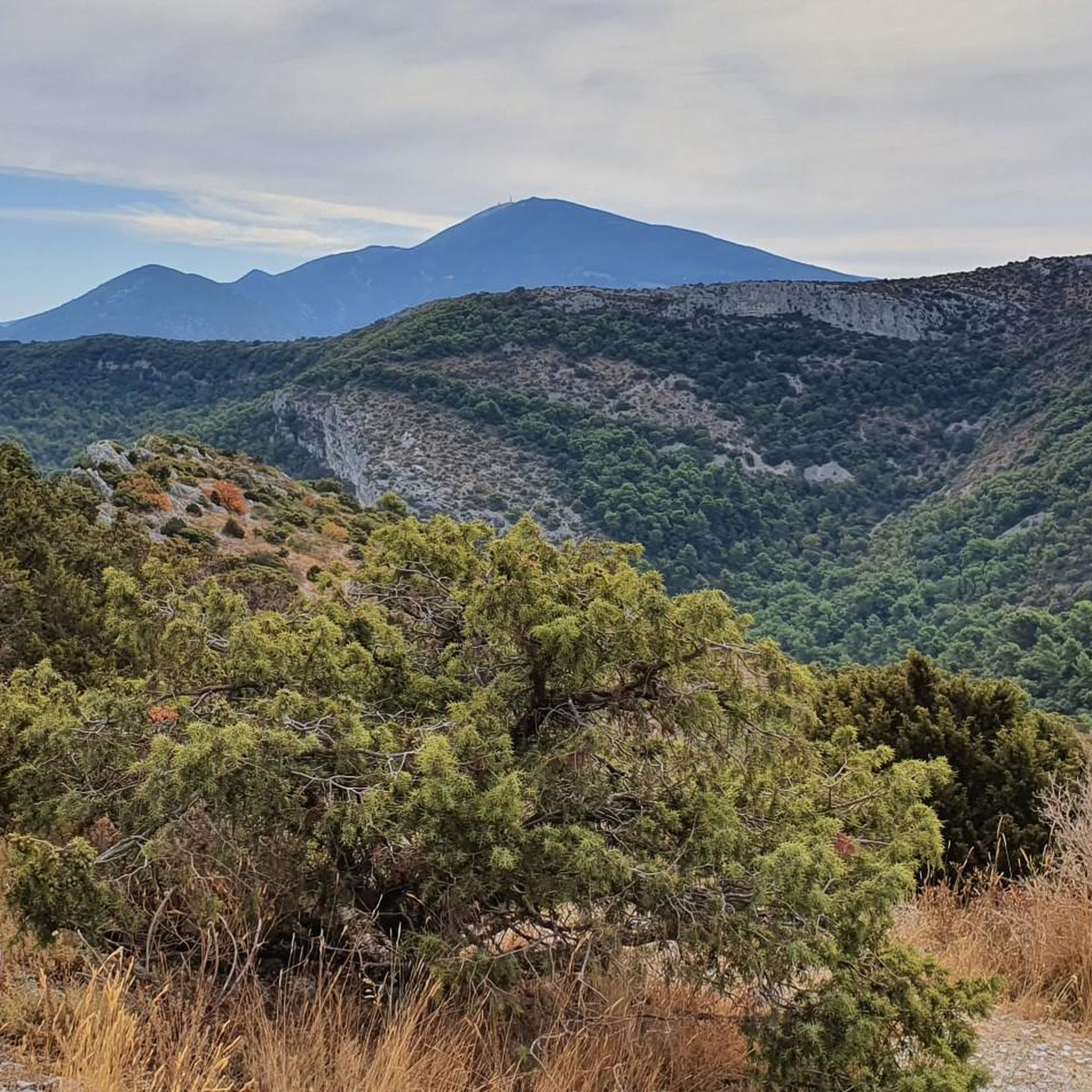
Gravel biking around Malaucène offers stunning views of Mont Ventoux, the iconic 'Giant of Provence.' You can also explore routes that pass through picturesque vineyards and lavender fields. Unique ochre quarry landscapes, like those near Bédoin, add a distinct red sand element to some rides. For specific natural attractions, consider visiting the Combe de Curnier or the Entrance to the Toulourenc Gorges.
Are there any circular gravel bike routes starting from Malaucène?
Yes, many of the gravel bike routes around Malaucène are designed as loops. For example, the Suzette Pass – La Roque-Alric Village loop from Malaucène is a popular circular trail. Another option is the Suzette Pass – Chaîne Pass loop from Malaucène, offering a challenging ride with notable elevation gains.
Where can I find parking for gravel biking in Malaucène?
Malaucène, being a village at the foot of Mont Ventoux, typically offers various public parking options. Look for designated parking areas within the village center or near trailheads. It's advisable to arrive early, especially during peak season, to secure a spot.
What is the best season for gravel biking around Malaucène?
The spring and autumn months are generally ideal for gravel biking in Malaucène. The weather is milder, and the landscapes are vibrant with spring blooms or autumn colors. Summers can be very hot, especially in July and August, making early morning or late afternoon rides preferable. Winters are cooler but often still suitable for cycling, though some higher elevation routes might be affected by snow or ice.
Are there any routes that pass by water features or offer opportunities for wild swimming?
While not directly on gravel biking routes, the nearby Gorges of Toulourenc, located behind Mont Ventoux, offer refreshing hikes along and across the river, with sandy beaches and waterfalls at the Source du Groseau. This is an ideal spot for bathing and relaxation during summer and could be combined with a gravel ride in the area.
What do other gravel bikers enjoy most about the Malaucène area?
The area is highly rated by the komoot community, with an average score of 4.5 stars. Reviewers often praise the challenging climbs, the panoramic views of Mont Ventoux, and the diverse landscapes that include vineyards, lavender fields, and unique ochre quarries. The variety of terrain and the opportunity to explore the scenic Provençal countryside are frequently highlighted.
Are there any routes that explore the unique ochre landscapes?
Yes, you can find routes that incorporate the distinctive ochre quarries. For instance, the Madeleine Pass – Old Ochre Quarries loop from Malaucène takes you through these colorful natural sites, offering a unique visual experience alongside your ride.
How challenging are the gravel bike trails in Malaucène?
Many of the gravel bike trails around Malaucène are rated as 'difficult' due to significant elevation gains and varied terrain. For example, the Mont Ventoux summit – Mont Ventoux loop from Malaucène covers 42.7 miles with nearly 6,400 feet of ascent. While there are easier sections, be prepared for demanding climbs and descents.
Most popular routes around Malaucène
Most popular attractions around Malaucène

Get inspired with the komoot mobile app


Explore more
Browse the best Gravel rides in other regions.
