The best gravel rides around Fournet-Blancheroche
4.7
(29)
171
riders
31
rides
Gravel biking around Fournet-Blancheroche offers diverse terrain within the Haut-Doubs region of the Jura mountains, bordering Switzerland. The area is characterized by a dramatic topography, including the Doubs valley with its rocky cliffs and panoramic viewpoints, as well as green pastures and dense forests of fir and spruce. Riders can expect a mix of VTT trails, forest paths, and unpaved road segments, providing varied surfaces for gravel bikes. The region's elevation, ranging from 1,883 to 3,383 feet (574 to 1,031…
Last updated: July 16, 2026
4.8
(6)
30
riders
39.3km
03:26
1,040m
1,040m
Hard gravel ride. Very good fitness required. You may need to push your bike for some segments of this route.
5.0
(4)
16
riders
Hard gravel ride. Very good fitness required. Mostly paved surfaces. Suitable for all skill levels.

Sign up for free
4.0
(1)
12
riders
51.1km
04:00
1,250m
1,250m
Hard gravel ride. Very good fitness required. Mostly paved surfaces. Suitable for all skill levels.
4.0
(2)
15
riders
25.2km
01:56
530m
530m
Hard gravel ride. Very good fitness required. Mostly paved surfaces. Suitable for all skill levels.
5.0
(3)
13
riders
22.3km
01:54
450m
450m
Hard gravel ride. Very good fitness required. Mostly paved surfaces. Suitable for all skill levels.
Get access to more routes and recommendations from other explorers.
Sign up for free
Already have an account?
Our route recommendations are based on thousands of hikes, rides, and runs completed by other people on komoot.
Start today with a free account
Your next adventure awaits.
Login or Signup
Popular around Fournet-Blancheroche
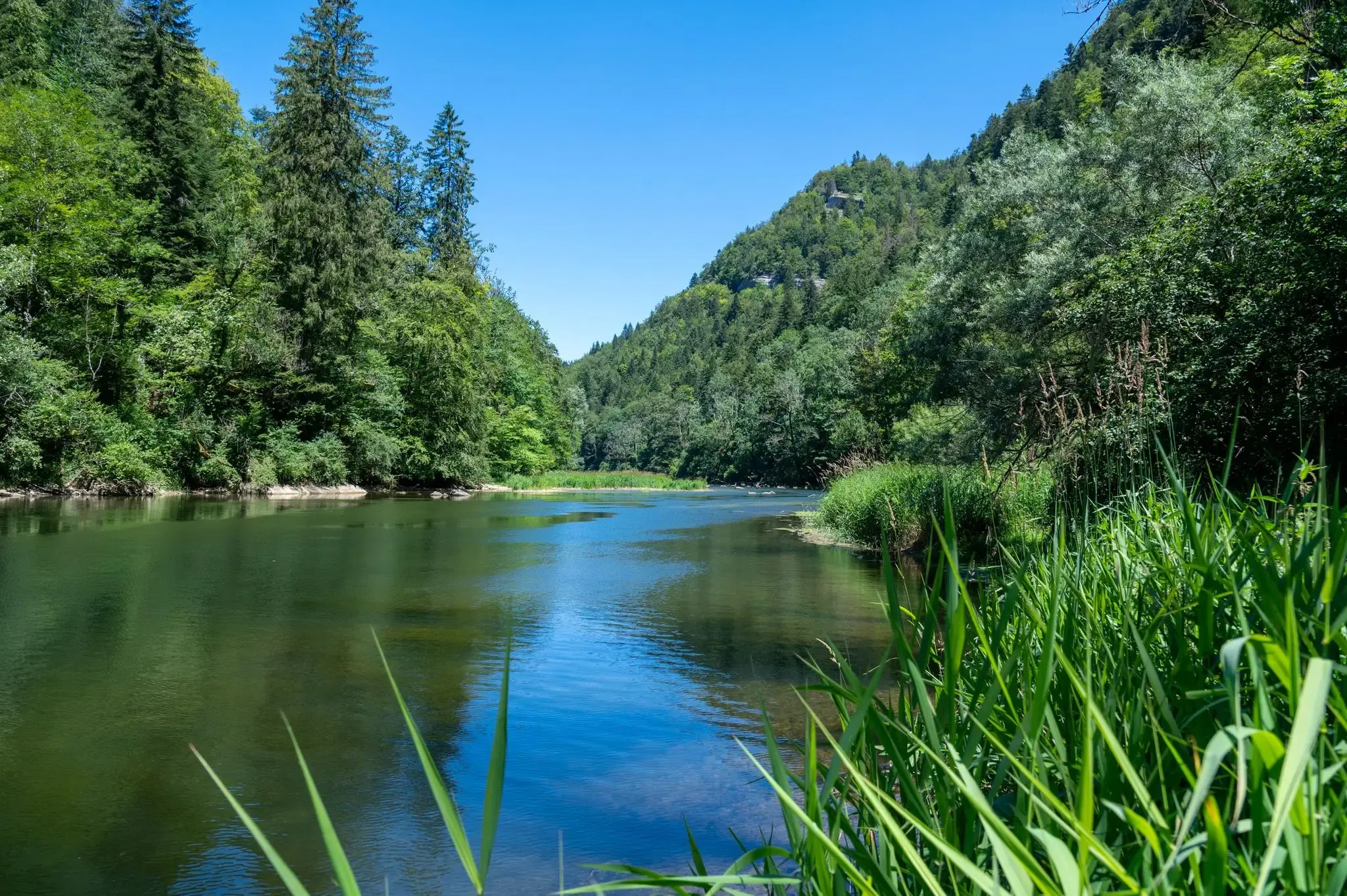
Follow France’s Doubs River through spectacular landscapes
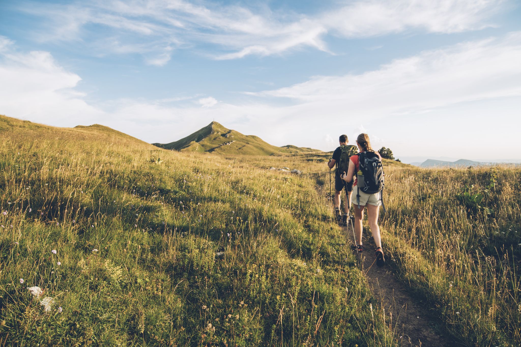
The thousand faces of the Jura Mountains – Grande Traversée du Jura on foot

From the Vosges to the Jura mountains – Hexatrek, le Grand Est
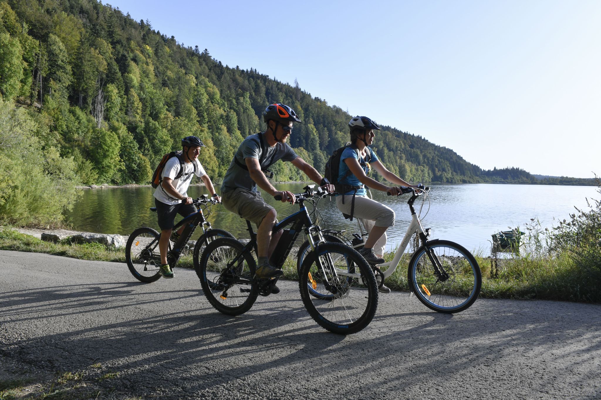
Wine, cheese and cycling – day trips in the French Jura Mountains
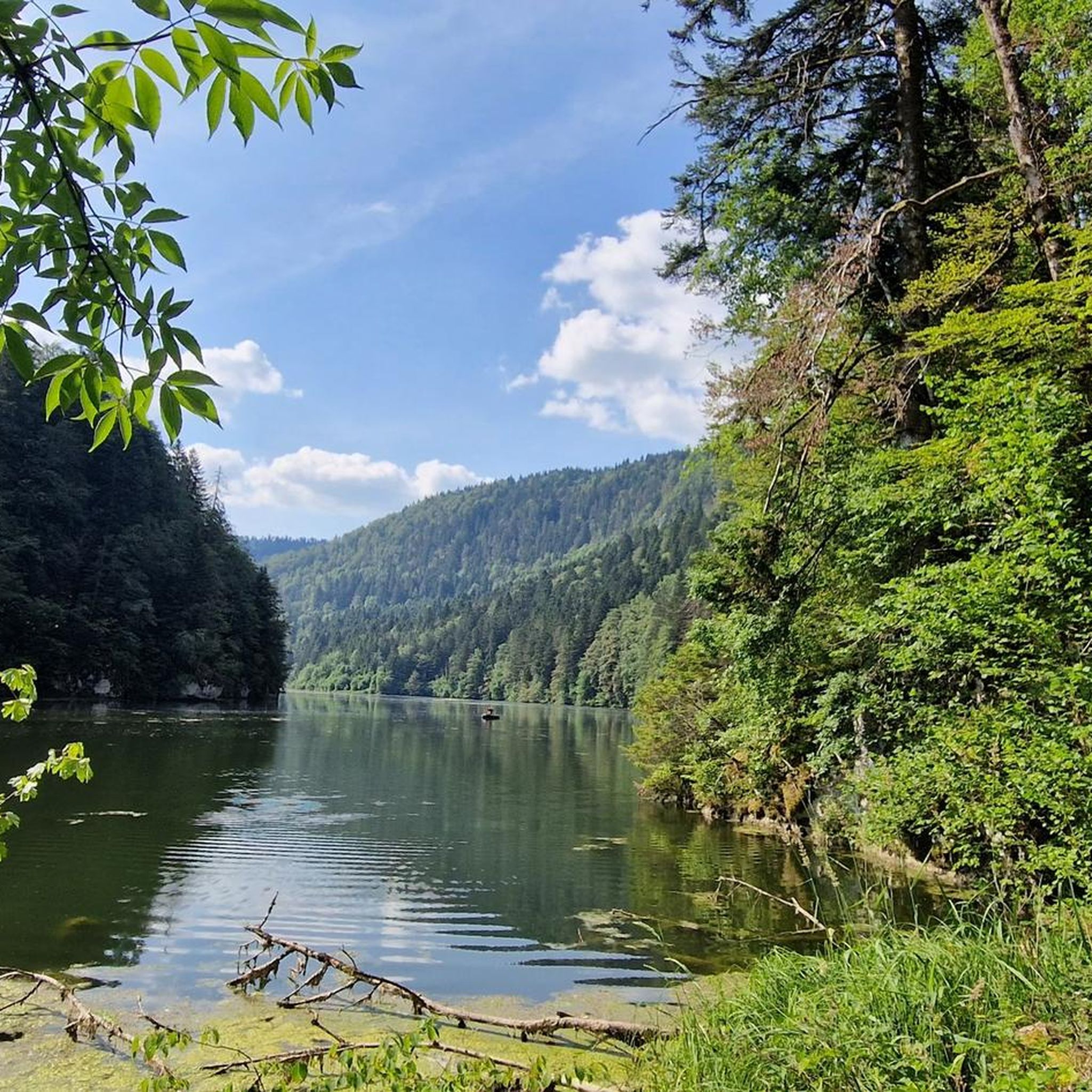
Hiking around Fournet-Blancheroche
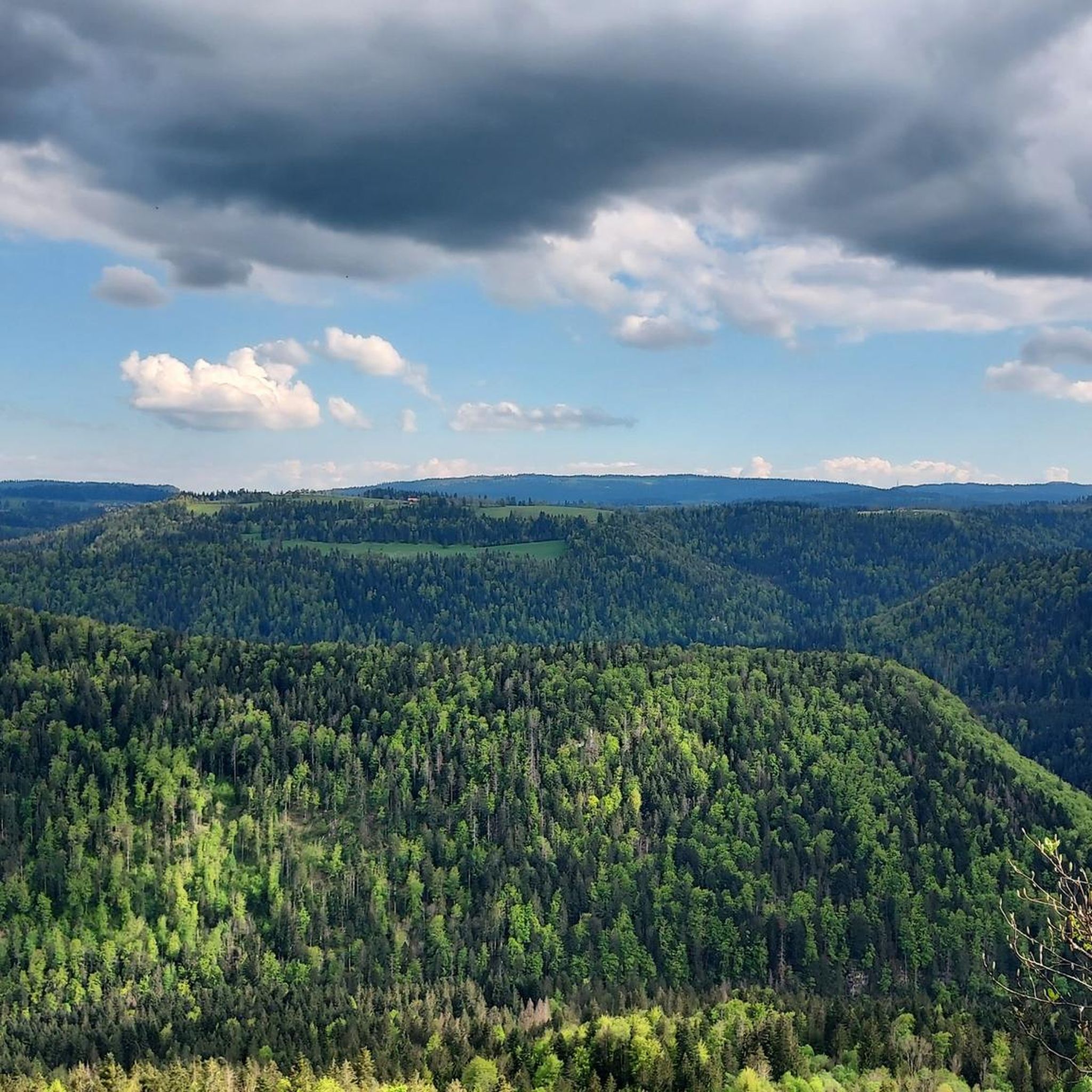
MTB Trails around Fournet-Blancheroche
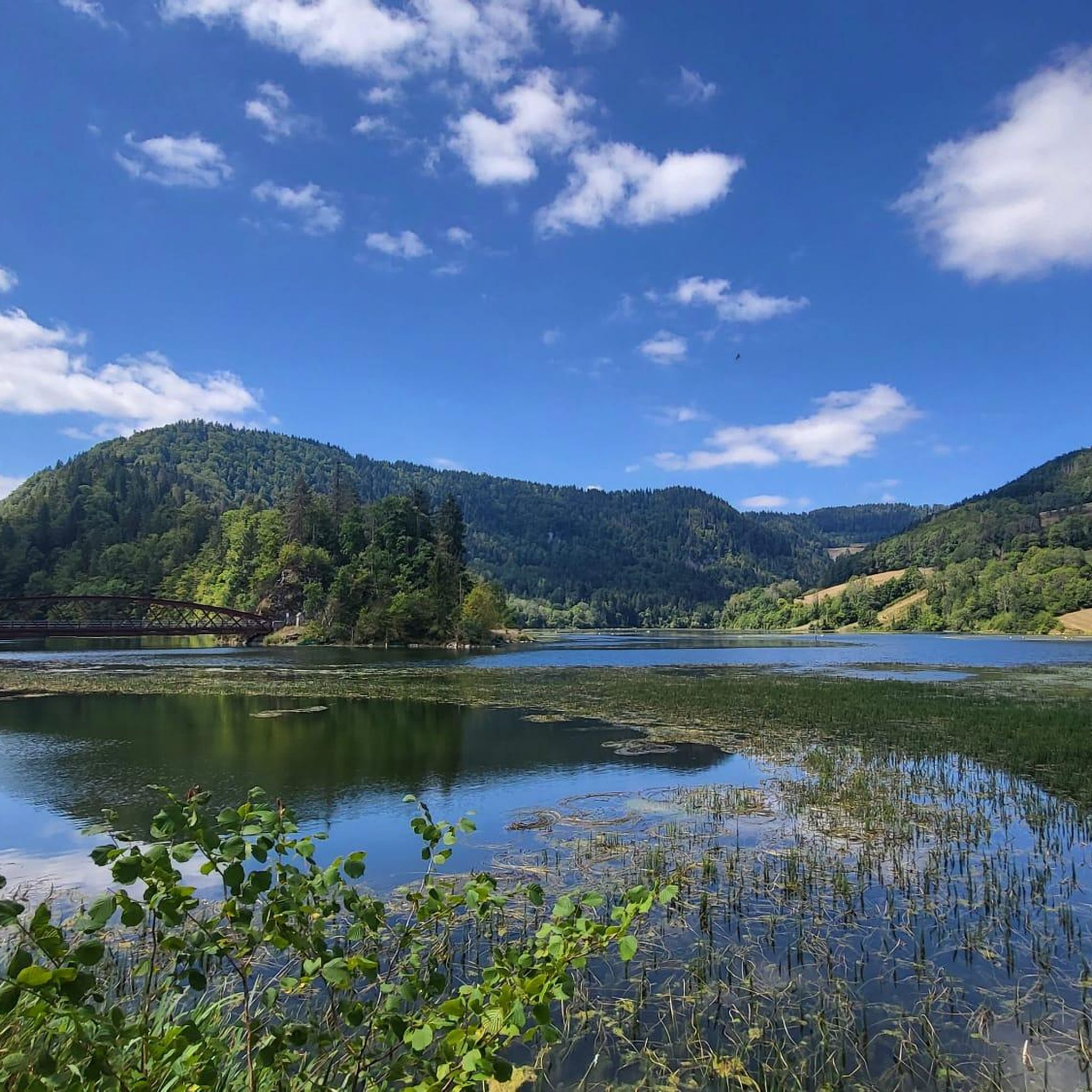
Cycling around Fournet-Blancheroche
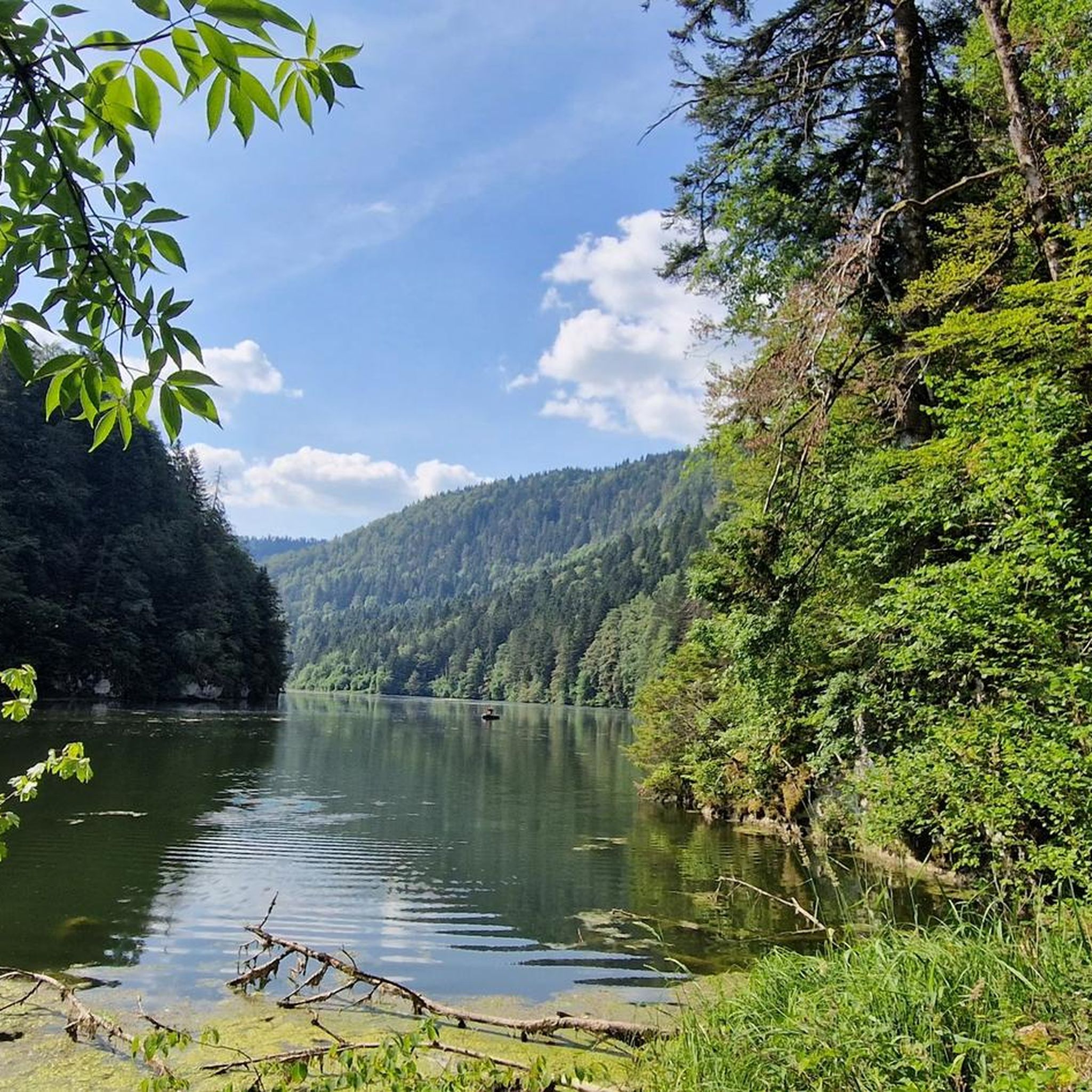
Running Trails around Fournet-Blancheroche
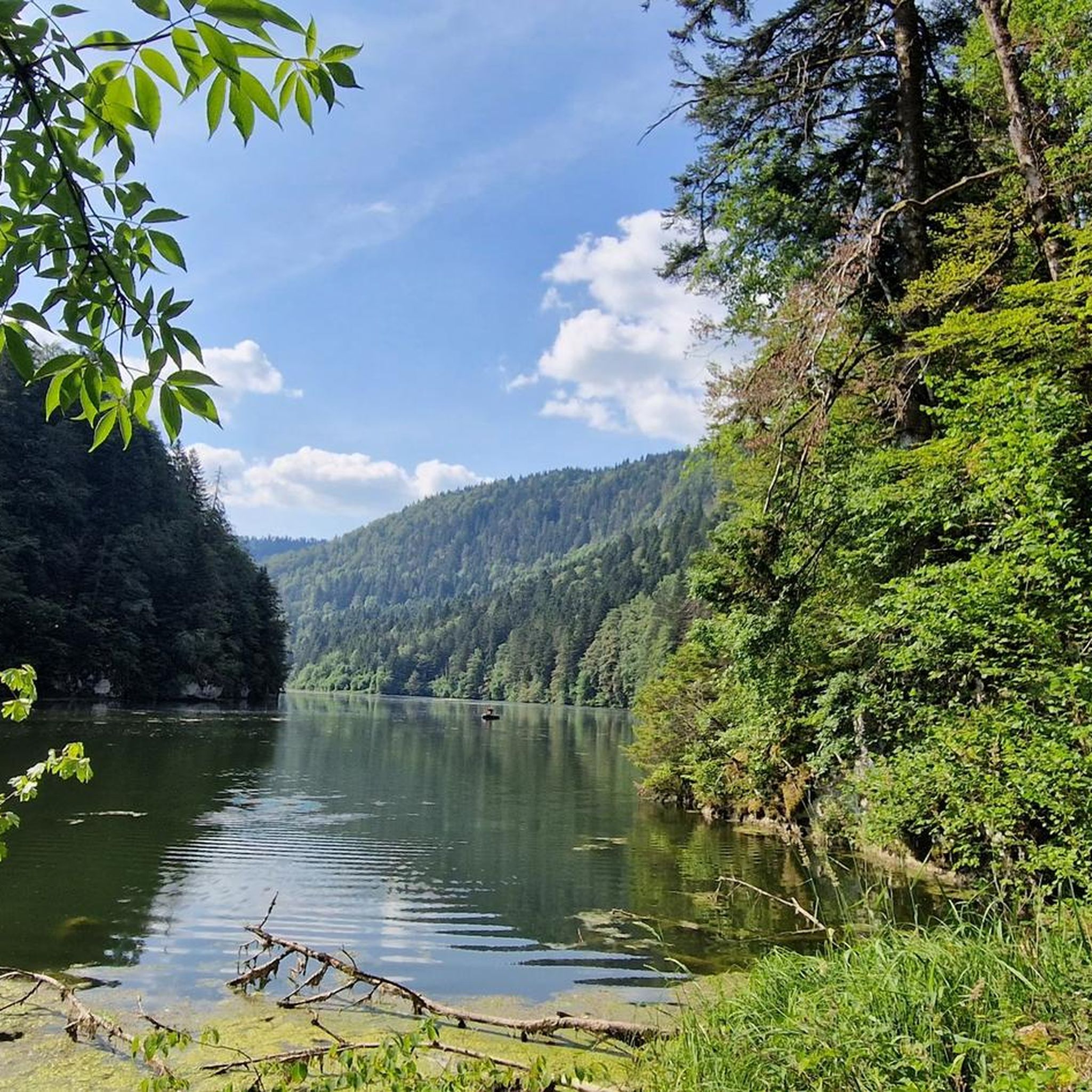
Road Cycling Routes around Fournet-Blancheroche
Other adventures around Fournet-Blancheroche


Tips from the Community

The redesign of the square has been successful. The CdF has gained in recent years.
0
0


Rustic restaurant with terrace located directly on the Doubs.
7
0

Very easy to drive, great views and little traffic!
0
0

Varied tour with magnificent view of the Alps at La Pinte de la Petite Joux.
0
0

This family-run inn offers delicious regional dishes, homemade bread and pastries, as well as a dormitory for 16 people with showers and toilets. You can enjoy the view of the green meadows and the sunset from the terrace, or explore the surrounding trails that lead to the top of the Grand Sommartel, the Chalet de Roche-Claire or the Petite Joux restaurant.
2
0

The Doubs is a multi-faceted river. Here, for example, it plays the role of border river. You look straight across to France.
1
0

Le Communale de la Sagne. Beautiful 5000m for biking, hiking or picnicking
0
0
Frequently Asked Questions
How many gravel bike trails are available around Fournet-Blancheroche?
There are over 35 gravel bike trails available around Fournet-Blancheroche, offering a diverse range of experiences for riders. The komoot community has explored these routes extensively, with over 100 gravel bikers using the platform to discover the varied terrain.
What is the typical difficulty level of gravel biking routes in this region?
Gravel biking around Fournet-Blancheroche is generally characterized by moderate to difficult routes, reflecting the challenging terrain of the Jura mountains. You'll find 10 moderate and 29 difficult routes, often featuring significant elevation gains and varied surfaces like VTT trails, forest paths, and unpaved road segments.
What kind of terrain can I expect on gravel bike trails near Fournet-Blancheroche?
The terrain around Fournet-Blancheroche is diverse, offering a true gravel biking experience. You can expect a mix of rolling hills, dense fir and spruce forests, and scenic sections along the Doubs river valley. The routes often combine VTT trails, forest paths, and unpaved road segments, providing varied surfaces that cater well to gravel bikes.
Are there any specific viewpoints or scenic spots along the gravel routes?
Yes, the region is known for its breathtaking panoramic views. Many routes offer rewarding vistas, particularly those overlooking the Doubs valley. For instance, the route View of the Doubs – Le Gros-Crêt loop from La Chaux-de Fonds Est is specifically highlighted for its panoramic views over the Doubs valley.
What natural features or landmarks can I expect to see while gravel biking?
You'll encounter a rich natural landscape, including the winding Doubs River, lush green pastures with Montbéliarde cows and Comtois horses, and dramatic rocky formations. A magnificent 27-meter waterfall is also a notable natural attraction in the vicinity. For specific natural monuments, you might explore highlights like The Ladders of Death or Rock Arch on the Doubs Trail.
Are there any circular gravel bike routes available?
Yes, many of the gravel routes in the area are designed as loops, allowing you to start and end at the same point. An example is the View of the Doubs – Tunnel near Lac de Moron loop from La Chaux-de-Fonds-Grenier, which offers a substantial circular ride through varied landscapes.
What do other gravel bikers enjoy the most about gravel biking in Fournet-Blancheroche?
The area is highly rated by the komoot community, with an average score of 4.8 stars from more than 20 reviews. Riders often praise the diverse terrain, the stunning panoramic views over the Doubs valley, and the immersive experience of cycling through dense fir forests and verdant pastures.
Are there any long-distance gravel routes for experienced riders?
Yes, for experienced riders looking for a longer challenge, routes like the Crampoulotte Viewpoint – Morteau loop from Le Russey offer nearly 100 km of varied terrain, including forests and open countryside, typically taking around 8 hours to complete.
Can I find places to eat or rest along the gravel trails?
While specific cafes or pubs directly on every trail might be limited, the region has options for refreshment. You can find places like Le Maillard, which is a restaurant, or various huts and buvettes such as Chalet Aster Buvette, which can serve as good resting points.
What is the best time of year for gravel biking in Fournet-Blancheroche?
The region is generally excellent for gravel biking from spring through autumn, when the weather is mild and the trails are clear. While winter offers opportunities for cross-country skiing and snowshoeing, gravel biking might be challenging due to snow and ice, especially given the region's altitude of 987 meters.
Are there any routes that showcase the classic Jura countryside?
Absolutely. The route Typical Jura countryside – View of the Wide Valley loop from La Chaux-de-Fonds Les Forges is a prime example. It traverses classic Jura landscapes, featuring verdant pastures, traditional farms, and beautiful forest sections, offering a quintessential regional experience.
What are the elevation gains like on these gravel routes?
Given Fournet-Blancheroche's location in the Jura mountains at 987 meters altitude, you can expect significant elevation gains. For example, routes like the View of the Doubs – Le Gros-Crêt loop from La Chaux-de Fonds Est feature over 1000 meters of ascent, providing challenging climbs and rewarding descents.
Most popular routes around Fournet-Blancheroche
Most popular attractions around Fournet-Blancheroche

Get inspired with the komoot mobile app


Explore more
Browse the best Gravel rides in other regions.
