The best gravel rides around Pluneret
4.5
(195)
1,014
riders
83
rides
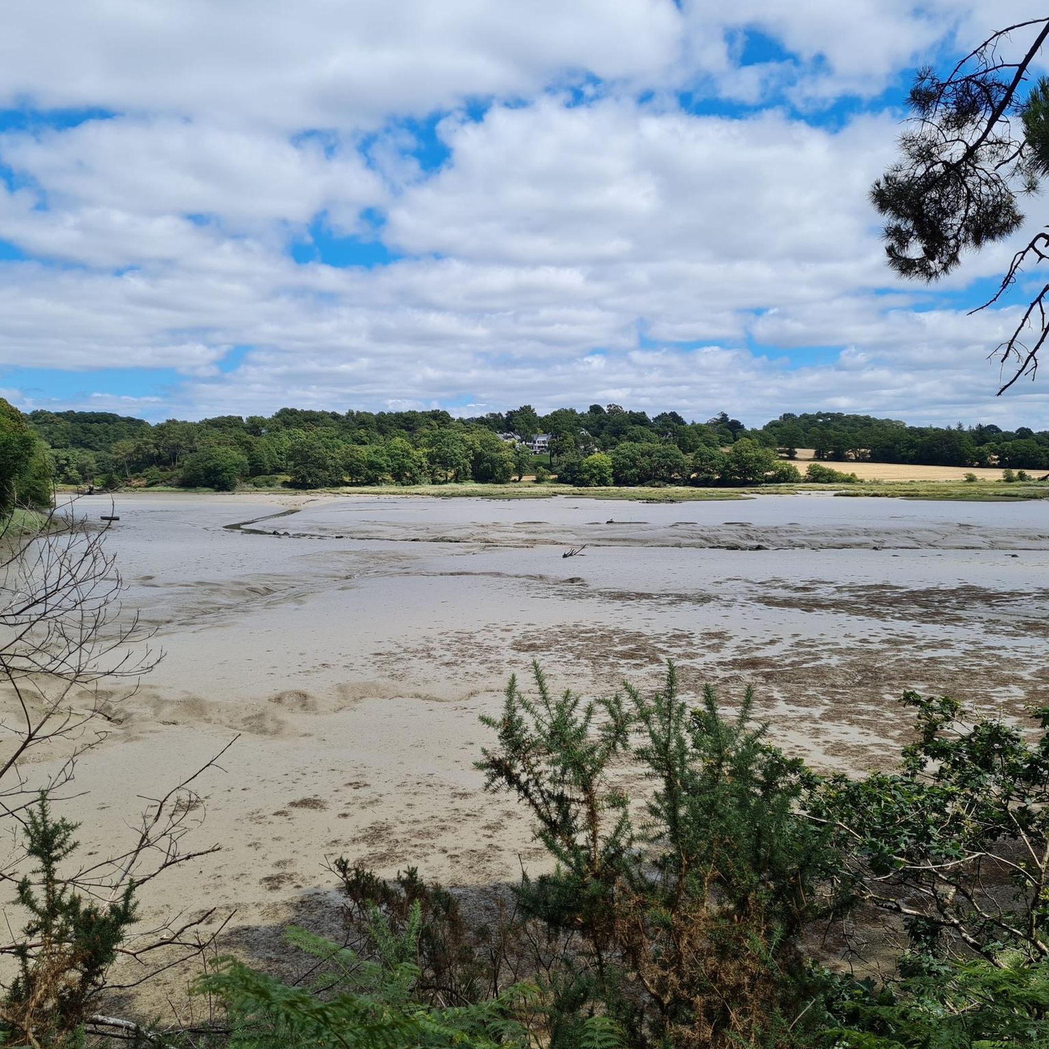
Gravel biking around Pluneret offers a network of routes through varied terrain in the Morbihan region of Brittany. The area is characterized by a mix of coastal paths, river estuaries, and inland rural landscapes, including the Gulf of Morbihan Regional Natural Park. Elevation changes are generally moderate, with some longer routes featuring more significant climbs. The region provides diverse surfaces suitable for gravel bikes, from compacted earth trails to quieter country roads.
Best gravel bike trails around Pluneret
- The most popular gravel bike trail is Moulin-L'Evêque footbridge – Sainte-Anne d'Auray loop from Sainte-Anne, a 24.0 miles (38.6 km) trail that takes 2 hours 13 minutes to complete. This moderate route passes through rural landscapes and near historical sites.
- Another top favourite among local gravel bikers is Le Bono – Le Bono loop from Sainte-Anne, a difficult 86.5 miles (139.3 km) path. This route leads through coastal paths and river estuaries, offering extensive views.
- Local gravel bikers also love the Carnac Alignments – Le Bono loop from Sainte-Anne, a 57.3 miles (92.2 km) trail leading through varied terrain including coastal sections and historical landmarks, often completed in about 5 hours 23 minutes.
- Gravel biking around Pluneret is defined by coastal paths, river estuaries, and rural landscapes. The network offers options for different ability levels, from moderate day rides to challenging long-distance routes.
- The routes in Pluneret are highly rated by the komoot community with an average score of 4.6 stars from over 130 reviews. More than 800 gravel bikers have used komoot to explore Pluneret's varied terrain.
Last updated: July 3, 2026
4.8
(34)
160
riders
55.8km
03:06
330m
330m
Moderate gravel ride. Good fitness required. Mostly paved surfaces. Suitable for all skill levels.
4.8
(4)
48
riders
38.6km
02:14
200m
200m
Moderate gravel ride. Good fitness required. Mostly paved surfaces. Suitable for all skill levels.

Sign up for free
4.7
(3)
10
riders
91.5km
05:20
570m
570m
Hard gravel ride. Very good fitness required. Mostly paved surfaces. Suitable for all skill levels.
4.5
(6)
27
riders
49.7km
03:02
360m
360m
Moderate gravel ride. Good fitness required. Mostly paved surfaces. Suitable for all skill levels.
4.7
(11)
27
riders
39.8km
02:26
260m
260m
Hard gravel ride. Good fitness required. You may need to push your bike for some segments of this route.
Get access to more routes and recommendations from other explorers.
Sign up for free
Already have an account?
Our route recommendations are based on thousands of hikes, rides, and runs completed by other people on komoot.
Start today with a free account
Your next adventure awaits.
Login or Signup
Tips from the Community


Be really careful. This greenway crosses magnificent landscapes but... it is dangerous, even in dry weather. Many people on foot or by bike have fallen, sometimes seriously. The wooden boardwalks are real ice rinks after winter. The boardwalk appears dry and yet in the shaded parts there remain damp areas, even with moss which makes the wood extremely slippery. So it is not without danger. Which led the General Council to prescribe dismounting for all areas with boardwalks!
0
0

Hike through the world's largest megalithic complex of its kind, a stronghold of European prehistory
0
0

Always a pleasant and truly distinctive place to visit, with its basilica and religious buildings.
0
0

Superb Christmas mapping
0
0

Magnificent collection of standing stones north of Carnac. It's incredible what was done here thousands of years ago.
0
0
Great view of the port of Trinite
0
0
Frequently Asked Questions
How many gravel bike trails are available around Pluneret?
There are over 110 gravel bike routes documented around Pluneret on komoot, offering a wide range of options for all skill levels. This includes 28 easy, 69 moderate, and 21 difficult routes.
What is the best time of year to go gravel biking in Pluneret?
The best time to gravel bike around Pluneret is generally from spring to autumn (April to October) when the weather is milder and drier. While winter conditions are usually temperate, some trails, especially coastal paths, can be wet and muddy after heavy rain. Always check local weather forecasts before heading out.
Are there easy gravel bike trails suitable for beginners or families in Pluneret?
Yes, Pluneret offers several easy gravel bike trails perfect for beginners or families. These routes typically feature gentler gradients and well-maintained surfaces. While specific family-friendly routes aren't highlighted here, many of the 28 easy tours are suitable for a relaxed outing. Look for routes with shorter distances and minimal elevation gain.
Are there challenging long-distance gravel routes near Pluneret?
Absolutely. For experienced gravel bikers seeking a challenge, Pluneret and its surroundings offer several long-distance routes. A notable difficult option is the Old Bono suspension bridge – Le Bono Suspension Bridge loop from Sainte-Anne, which spans 139.0 km and features significant elevation changes. Another challenging option is the Carnac Alignments – Le Bono loop from Sainte-Anne, covering 92.2 km.
What kind of surfaces can I expect on gravel bike trails in Pluneret?
Gravel bike trails in Pluneret feature a diverse mix of surfaces. You'll encounter compacted earth trails, quieter country roads, and sections of coastal paths. The varied terrain is well-suited for gravel bikes, providing a dynamic riding experience through rural landscapes, river estuaries, and along the coast.
Can I find circular gravel bike trails around Pluneret?
Yes, many of the gravel bike routes around Pluneret are circular, allowing you to start and finish at the same point. For example, the popular Auray – Locmariaquer loop from Auray is a moderate 47.8 km circular trail that takes you through varied coastal and inland sections.
What historical or natural landmarks can I see along gravel bike trails near Pluneret?
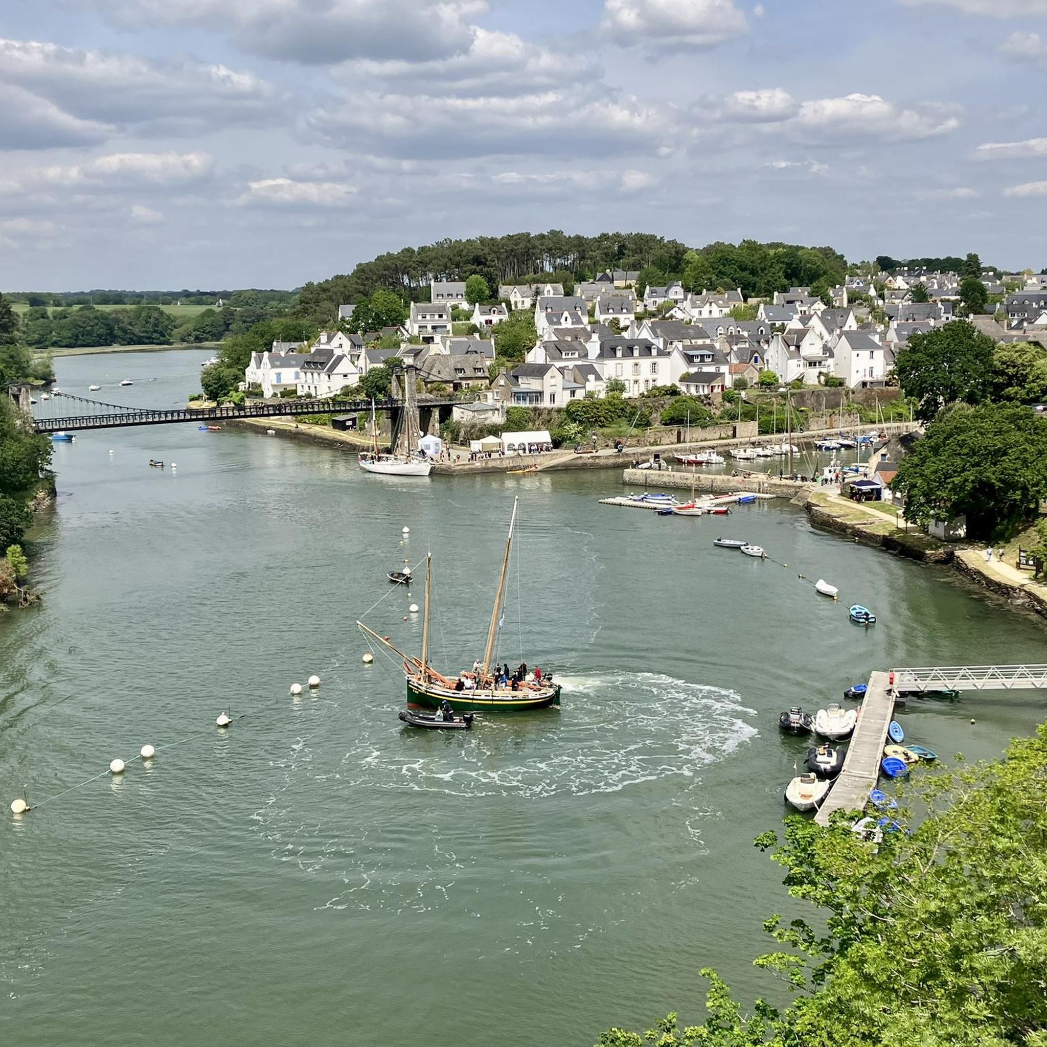
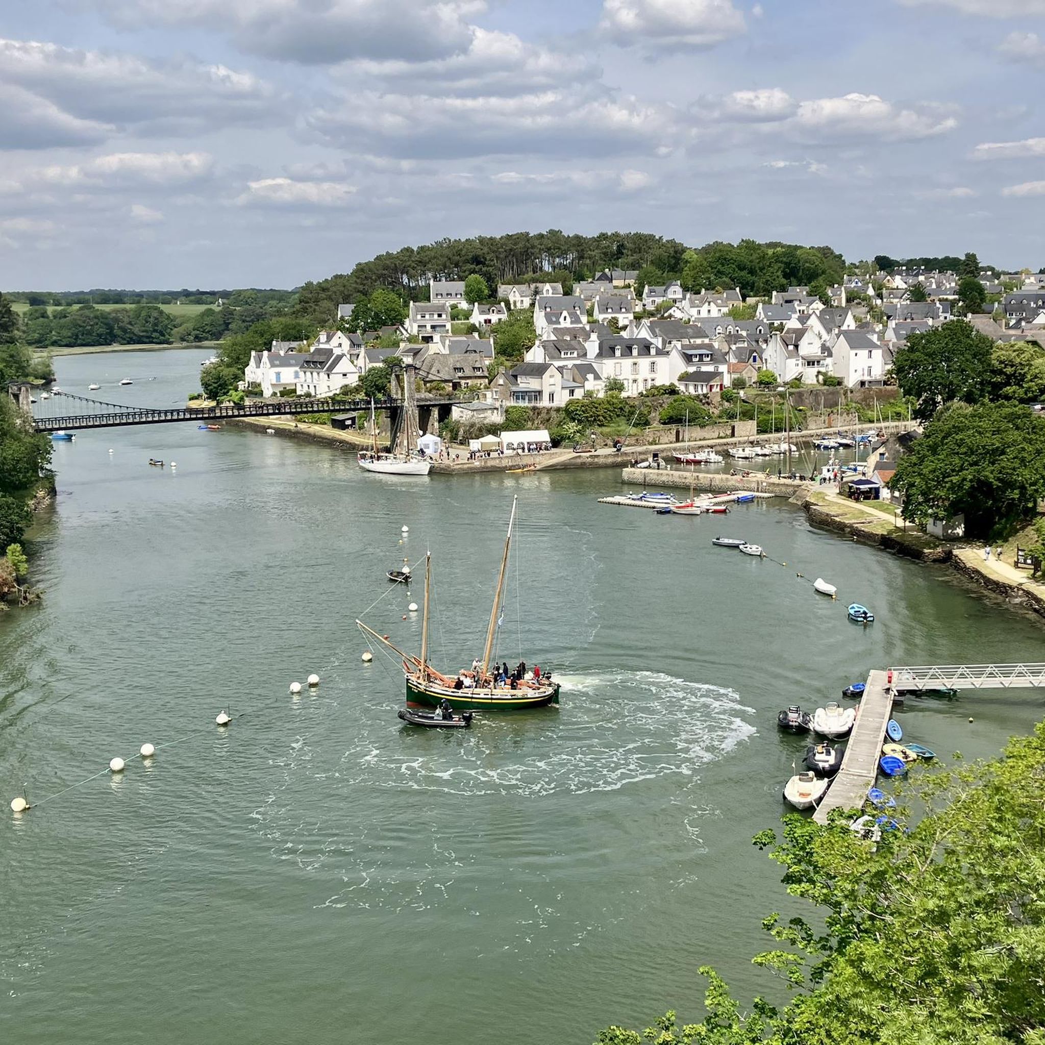
The region around Pluneret is rich in history and natural beauty. Along your rides, you might encounter significant megalithic sites like the Kermario Stone Alignments or the Dolmen des Pierres Plates. Other points of interest include the picturesque Old Suspension Bridge of Bono and scenic viewpoints like Bilgroix Point.
Are there scenic coastal gravel bike trails in the Pluneret area?
Absolutely. Pluneret's location near the Morbihan coast means many gravel routes incorporate stunning coastal views and river estuaries. The Côte Sauvage de Quiberon – Port Haliguen loop from Auray is a challenging 103.5 km route that offers spectacular coastal scenery.
Where can I park my car when starting a gravel bike trail near Pluneret?
Parking is generally available in the towns and villages that serve as common starting points for these routes, such as Auray or Sainte-Anne-d'Auray. Look for public car parks within these areas, often near town centers or trailheads. Specific parking details can usually be found on individual route pages on komoot.
What do other gravel bikers enjoy most about gravel biking in Pluneret?
The area is highly rated by the komoot community, with an average score of 4.5 stars from over 290 reviews. Reviewers often praise the diverse terrain, which blends coastal paths, river estuaries, and tranquil rural landscapes. The network of routes offers options for different ability levels, from moderate day rides to challenging long-distance adventures, making it appealing to a wide range of riders.
What gear is recommended for gravel biking in Pluneret?
Given the varied surfaces, a well-maintained gravel bike with appropriate tires (e.g., 38-45mm wide with a good tread pattern) is recommended. Essential gear includes a helmet, repair kit, sufficient water, and navigation tools. Depending on the season, waterproof clothing might be advisable, especially for coastal sections where weather can change quickly.
Most popular attractions around Pluneret

Get inspired with the komoot mobile app


Explore more
Browse the best Gravel rides in other regions.
