The best gravel rides around Sollières-Sardières
4.0
(2)
142
riders
9
rides
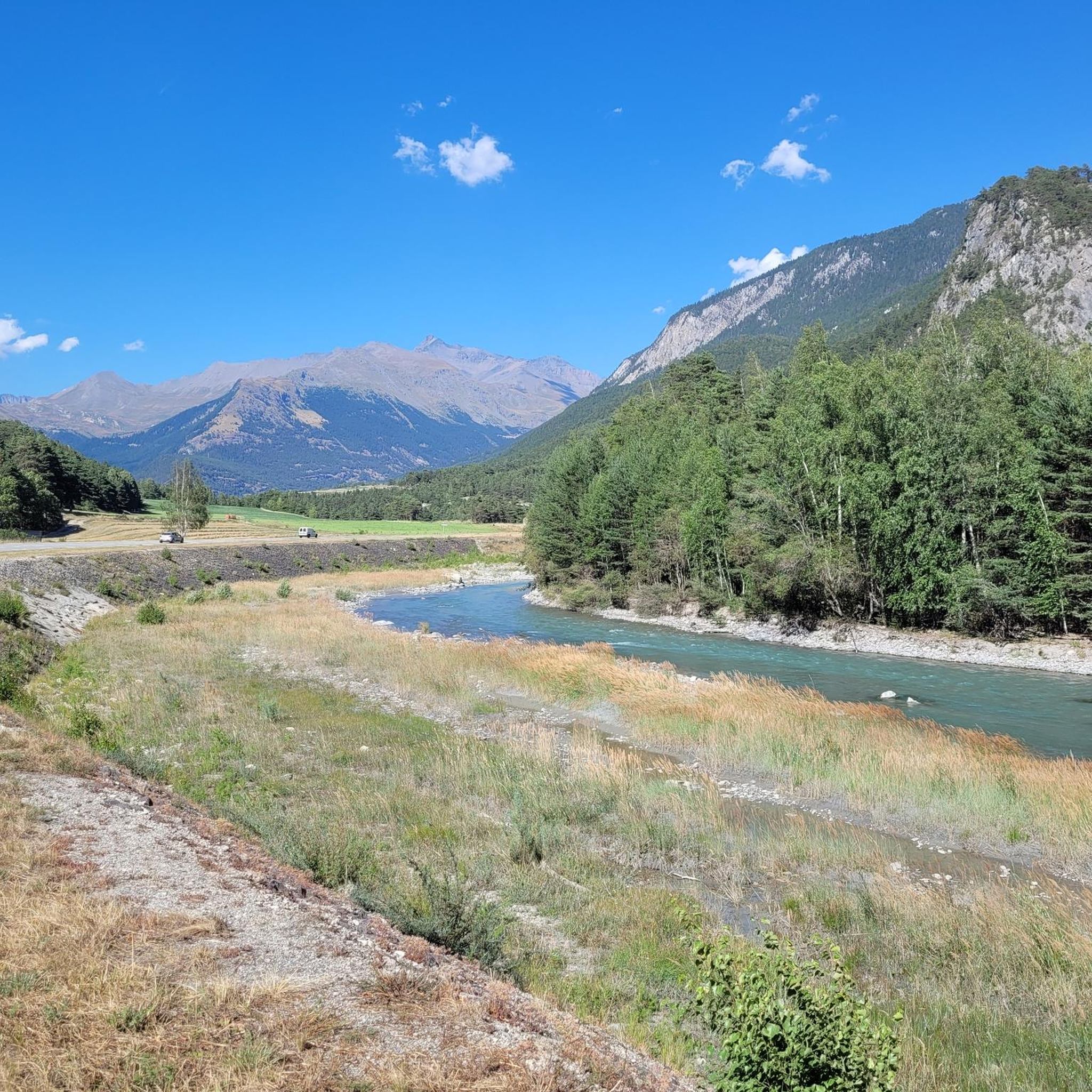
Gravel biking around Sollières-Sardières offers routes through the high-altitude terrain of the French Alps, characterized by significant elevation changes and panoramic mountain vistas. The region features a mix of alpine meadows, forested sections, and routes leading to high mountain passes and glacial lakes. Gravel bike trails here often involve sustained climbs and descents, providing a challenging experience for riders.
Best gravel bike trails around Sollières-Sardières
- The most popular gravel bike trail is View of Lake Mont Cenis – Col de…
Last updated: July 15, 2026
20
riders
37.8km
03:13
1,140m
1,140m
Hard gravel ride. Very good fitness required. Mostly paved surfaces. Suitable for all skill levels.
5.0
(1)
61
riders
59.7km
04:24
1,560m
1,560m
Hard gravel ride. Very good fitness required. Mostly paved surfaces. Suitable for all skill levels.

Sign up for free
3
riders
77.9km
06:15
1,550m
1,540m
Hard gravel ride. Very good fitness required. Mostly paved surfaces. Suitable for all skill levels.
31
riders
40.7km
03:17
730m
730m
Hard gravel ride. Very good fitness required. Mostly paved surfaces. Suitable for all skill levels.
10
riders
29.8km
02:26
790m
790m
Hard gravel ride. Very good fitness required. Mostly paved surfaces. Suitable for all skill levels.
Get access to more routes and recommendations from other explorers.
Sign up for free
Already have an account?
Our route recommendations are based on thousands of hikes, rides, and runs completed by other people on komoot.
Start today with a free account
Your next adventure awaits.
Login or Signup
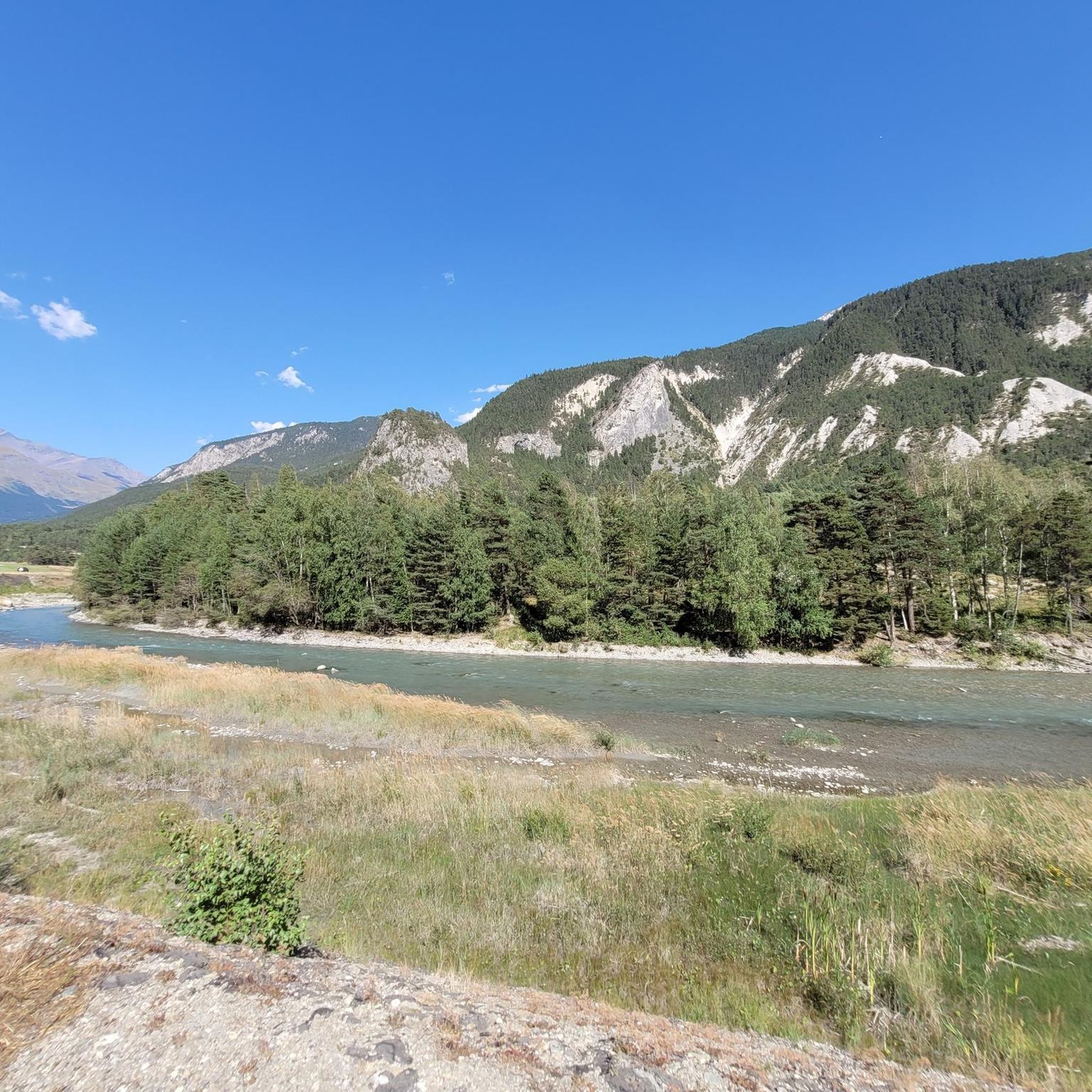
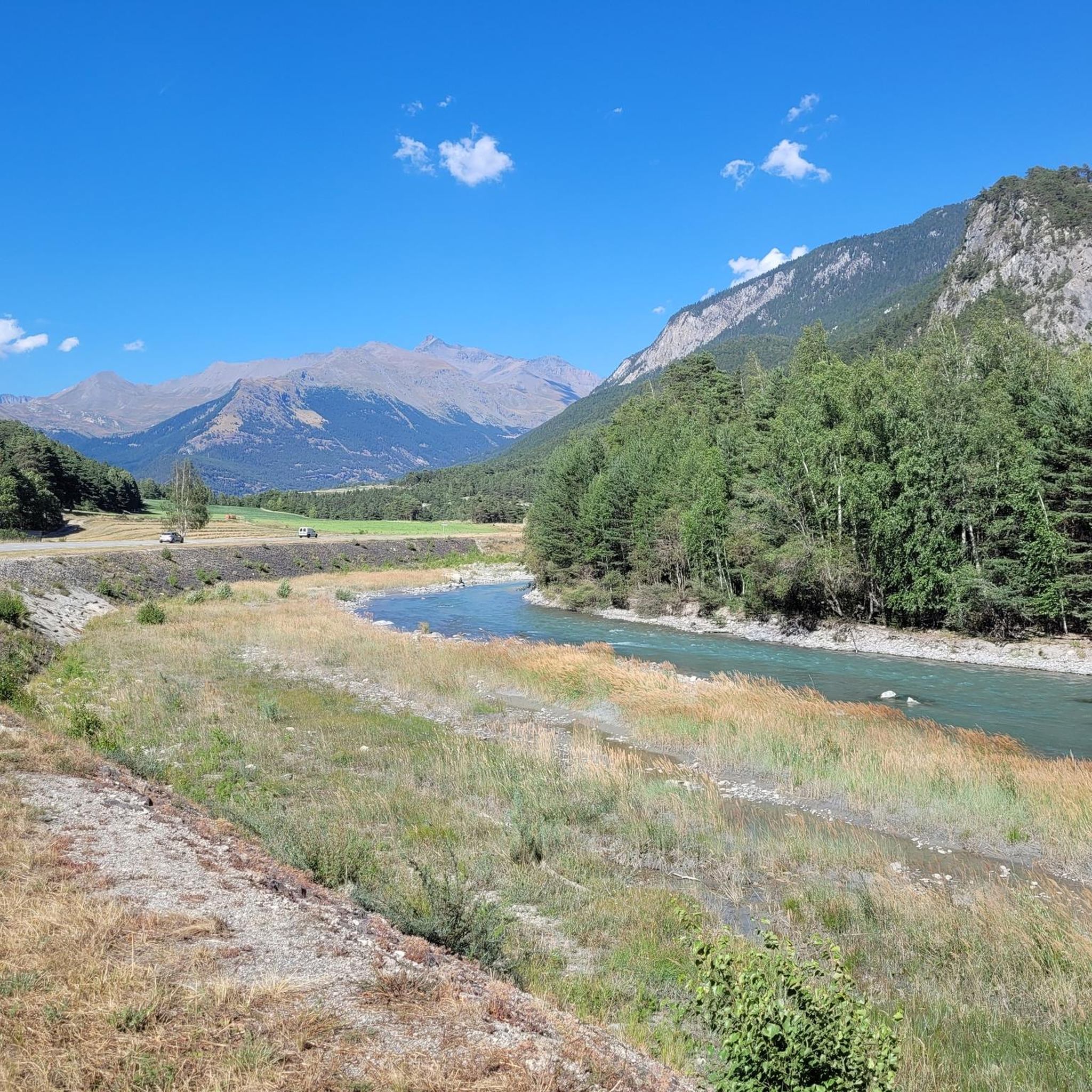

Tips from the Community

Impressive facilities Marie Therese and Victor Emmanuel.
2
0
Interesting old fortress, today a museum.
2
0
Town with transit traffic to Italy on the Arc. Many possibilities, hotels, restaurants and shops.
2
0
Gravel path with a view.
2
0
Very rocky path on the dam with great views of the lake and towards Italy.
3
0
Beautiful small road and great views.
2
0
Great view, probably less water from now on. Demanding trail.
2
0
Frequently Asked Questions
What is the general difficulty level of gravel biking trails in Sollières-Sardières?
Gravel biking in Sollières-Sardières is characterized by significant elevation changes and challenging climbs. The region offers routes primarily for moderate and difficult ability levels, with no easy routes available. Riders should expect sustained ascents and descents through high-altitude alpine terrain.
Are there any beginner-friendly gravel bike trails in Sollières-Sardières?
The gravel biking routes around Sollières-Sardières are generally challenging due to the high-altitude alpine environment and significant elevation changes. There are no routes specifically categorized as 'easy' in this area; the available trails are either moderate or difficult.
What kind of scenery can I expect on gravel bike routes in Sollières-Sardières?
Riders can expect panoramic mountain vistas, alpine meadows, and forested sections. Many routes lead to high mountain passes and offer views of glacial lakes, such as the stunning View of Lake Mont Cenis – Col de Sollières loop from Tagliata de la Cassa. The terrain provides a true high-alpine gravel biking experience.
Are there any loop gravel bike trails available in Sollières-Sardières?
Yes, many of the gravel bike trails in Sollières-Sardières are designed as loops. For instance, you can explore the Col de la Madeleine – Bonneval-sur-Arc loop from Avrieux, which offers extensive alpine scenery, or the Chantelou Bessans MTB Area – Bonneval-sur-Arc loop from Lanslevillard, which takes you through alpine valleys and past mountain villages.
What are some notable landmarks or attractions I might see along the gravel bike trails?
The region is rich in natural and historical landmarks. You might encounter impressive mountain passes like Col de la Madeleine, Col de Sollières, or the historic Fort de Ronce. The Refuge du Petit Mont Cenis – View of Lake Mont Cenis loop from Barrage du Mont Cenis also passes by the Petit Mont Cenis Refuge.
How many gravel bike routes are available in the Sollières-Sardières area?
There are 8 gravel bike routes available in the Sollières-Sardières area. These include 2 moderate routes and 6 difficult routes, catering to riders looking for a challenging alpine experience.
What is the best time of year for gravel biking in Sollières-Sardières?
Given the high-altitude terrain and mountain passes, the best time for gravel biking in Sollières-Sardières is typically from late spring through early autumn (roughly June to September). During these months, snow has usually cleared from higher elevations, and weather conditions are more favorable. Always check local weather and trail conditions before heading out.
Are there any family-friendly gravel biking options in Sollières-Sardières?
Due to the challenging nature of the terrain, with significant elevation changes and sustained climbs, most gravel bike routes in Sollières-Sardières are not typically considered family-friendly for younger children or beginner riders. The routes are categorized as moderate to difficult.
Where can I find parking for gravel biking trails in Sollières-Sardières?
Specific parking information varies by trailhead. Many routes, such as the View of Lake Mont Cenis – Col de Sollières loop, often start from villages or designated areas like Tagliata de la Cassa, Avrieux, or Lanslevillard, where public parking may be available. It's advisable to check the starting point of your chosen route for detailed parking suggestions.
What do other gravel bikers say about the trails in Sollières-Sardières?
The gravel biking routes in Sollières-Sardières are rated by the komoot community with an average score of 3.0 stars. Riders often highlight the challenging climbs, the rewarding panoramic mountain views, and the unique experience of traversing high mountain passes in the French Alps.
Are there any shorter gravel bike routes for a quicker ride?
For a shorter, yet still moderate, ride, consider the Refuge du Petit Mont Cenis – View of Lake Mont Cenis loop from Barrage du Mont Cenis. This route is approximately 19.3 km (12 miles) long and offers a taste of the region's beauty without the extensive duration of some of the longer, more difficult trails.
Are there any routes that offer views of Lake Mont Cenis?
Yes, the View of Lake Mont Cenis – Col de Sollières loop from Tagliata de la Cassa is a popular option that features challenging climbs and offers spectacular views of Lake Mont Cenis. Another route, the Refuge du Petit Mont Cenis – View of Lake Mont Cenis loop from Barrage du Mont Cenis, also provides excellent vistas of the lake.
Most popular routes around Sollières-Sardières
Most popular attractions around Sollières-Sardières

Get inspired with the komoot mobile app


Explore more
Browse the best Gravel rides in other regions.
