The best gravel rides around Montvalezan
4.0
(4)
53
riders
8
rides
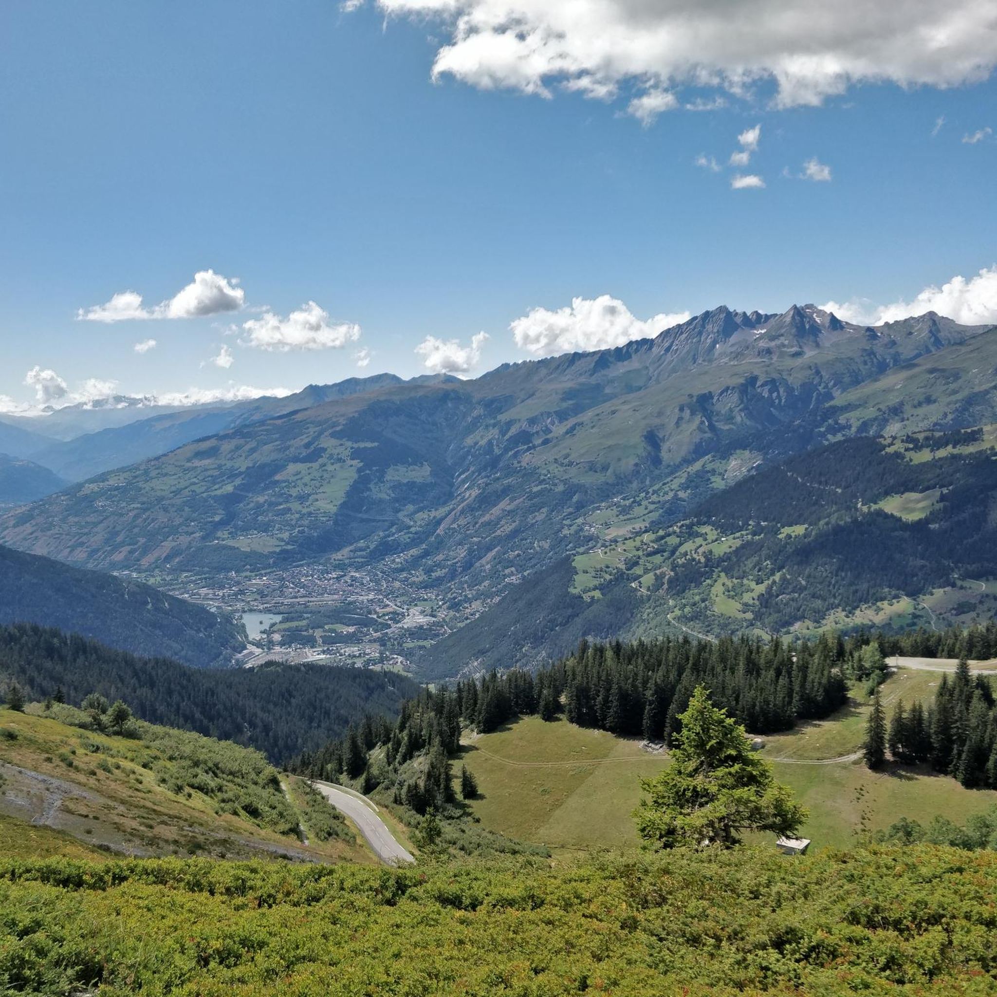
Gravel biking around Montvalezan offers diverse alpine landscapes and terrain within the Haute-Tarentaise massif. The region features a mix of alpine pastures, lush valleys, and challenging mountain passes, providing varied unpaved surfaces and forest tracks. Riders can expect demanding routes with significant elevation gain, exploring high-altitude paths and sections off the beaten track. This area serves as a starting point for exploring iconic mountain passes and offers extensive networks of trails suitable for gravel bikes.
Best gravel bike trails around…
Last updated: July 4, 2026
15
riders
45.1km
04:44
1,890m
1,890m
Hard gravel ride. Very good fitness required. Mostly paved surfaces. Suitable for all skill levels.
4.0
(2)
12
riders
27.9km
02:08
720m
720m
Hard gravel ride. Very good fitness required. Mostly paved surfaces. Suitable for all skill levels.

Sign up for free
11
riders
114km
09:25
3,970m
3,970m
Hard gravel ride. Very good fitness required. Mostly paved surfaces. Suitable for all skill levels.
9
riders
61.9km
04:48
1,810m
1,810m
Hard gravel ride. Very good fitness required. Mostly paved surfaces. Suitable for all skill levels.
4.0
(2)
6
riders
Hard gravel ride. Very good fitness required. Mostly paved surfaces. Suitable for all skill levels.
Get access to more routes and recommendations from other explorers.
Sign up for free
Already have an account?
Our route recommendations are based on thousands of hikes, rides, and runs completed by other people on komoot.
Start today with a free account
Your next adventure awaits.
Login or Signup
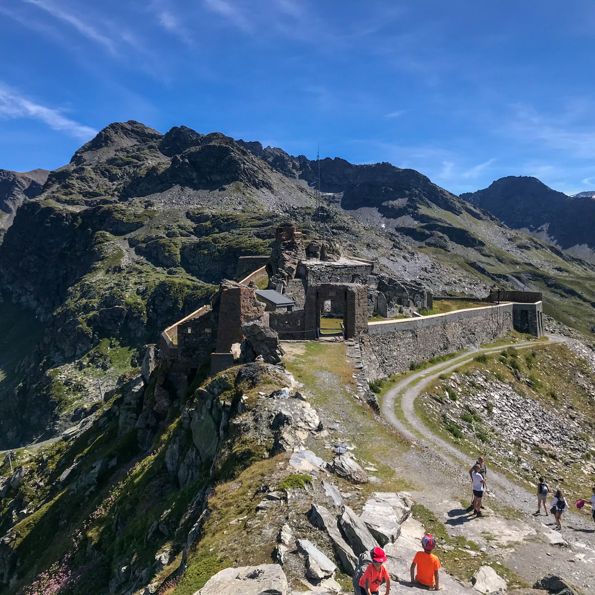
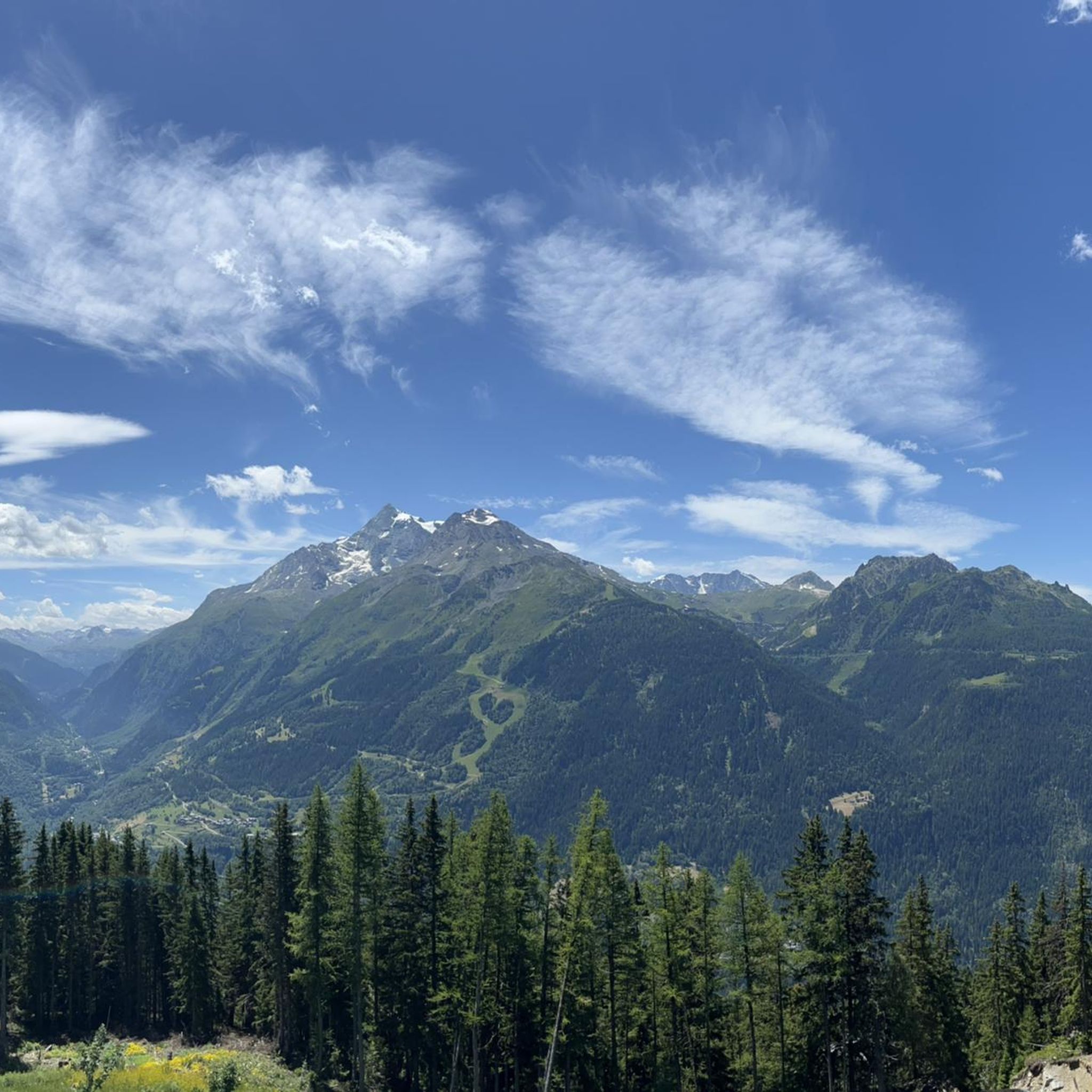
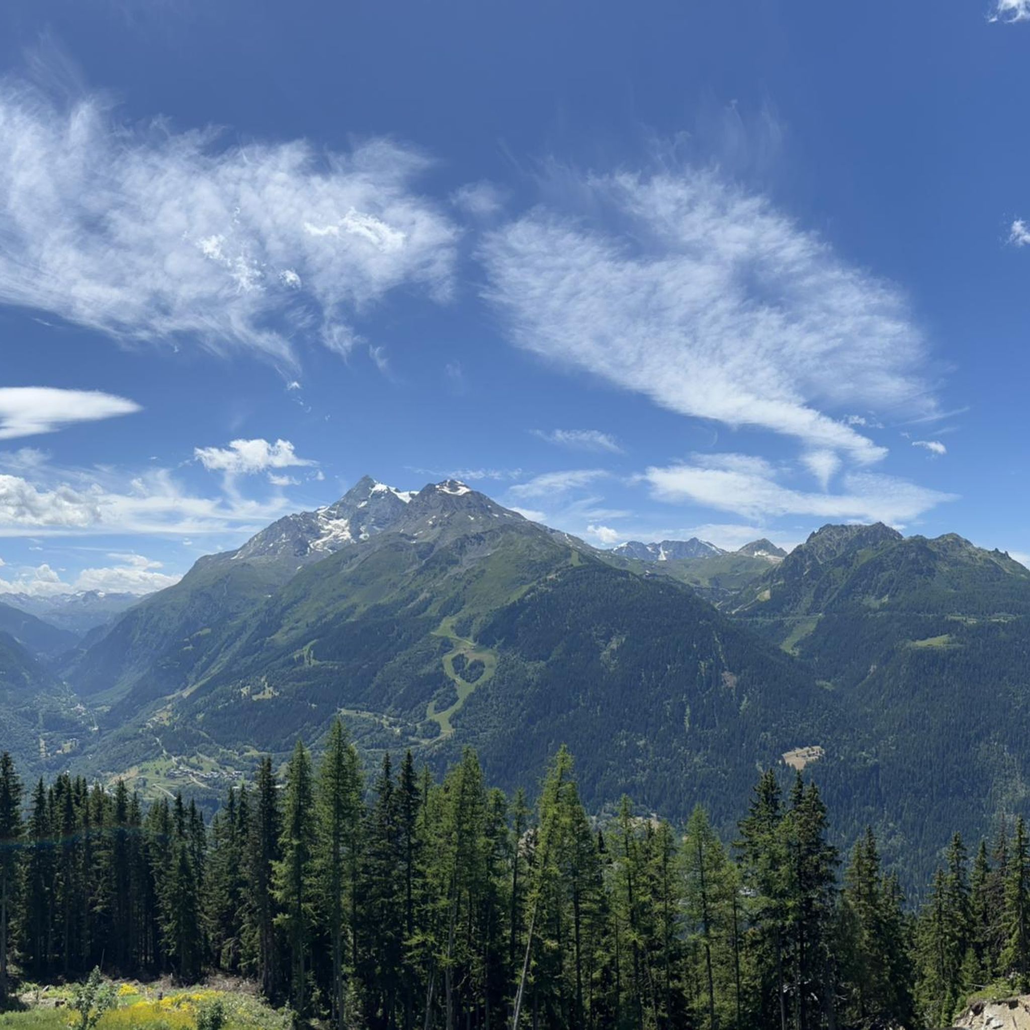
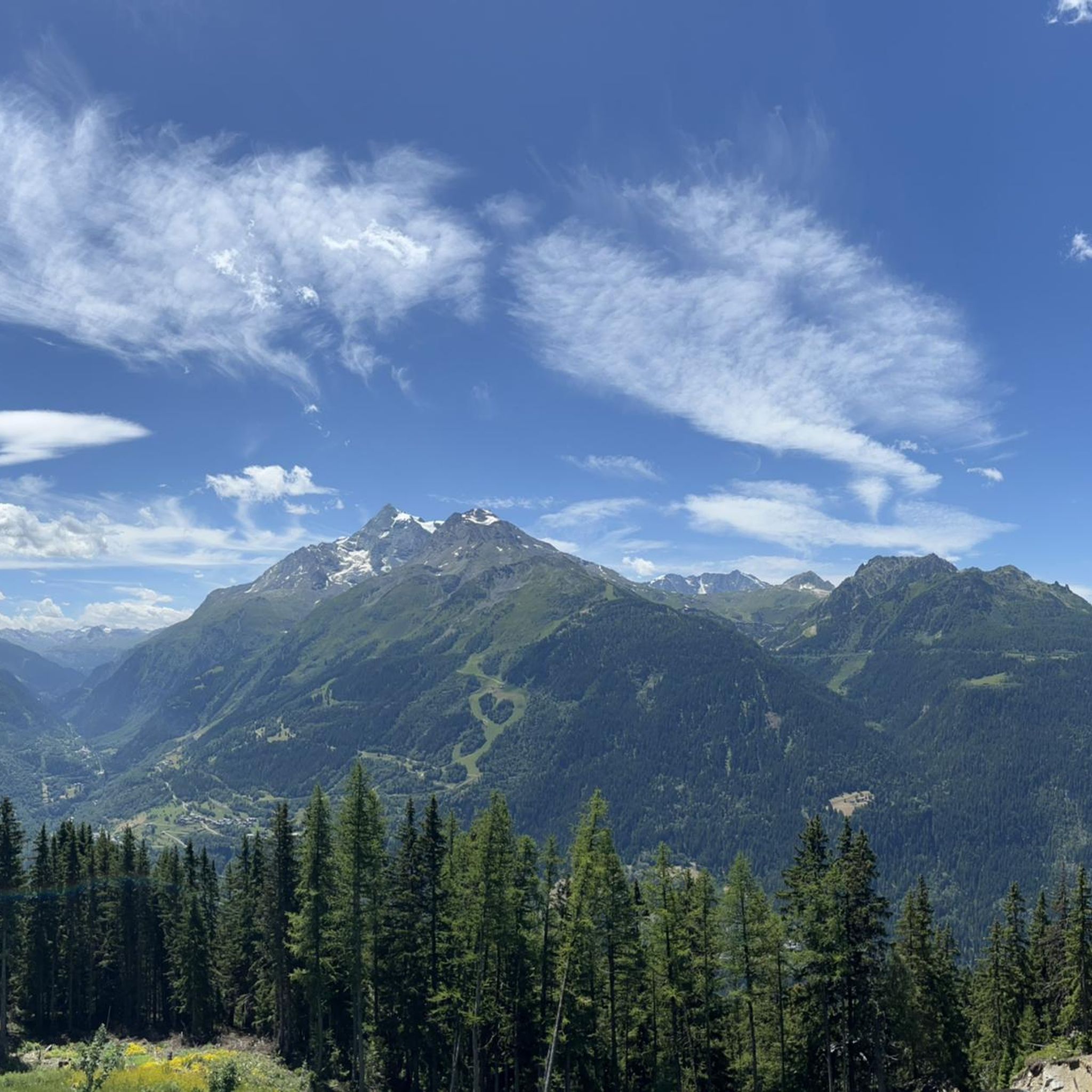
Tips from the Community

Very tough climb with several kilometers averaging over 9%. As you ascend, the views of the valley are wonderful.
0
0
Cycle path in perfect condition.
0
0
This section is beautiful. If done downhill, you have to consider that the surface is not the best.
0
0

By bike and cable car to Src1600
2
0
Beautiful place of Beaufort cheese, even with a restaurant.
2
0
Frequently Asked Questions
What kind of terrain can I expect on gravel bike trails around Montvalezan?
Gravel biking in Montvalezan offers a diverse alpine landscape. You'll encounter a mix of unpaved surfaces, forest tracks, and mountain paths. The region is known for its spectacular Alpine gravel roads, often featuring varied terrain like rock faces and rock gardens, especially in areas with existing mountain biking infrastructure like La Rosière.
Are there challenging gravel bike routes in Montvalezan?
Yes, Montvalezan is characterized by demanding routes with significant elevation gain, exploring high-altitude paths and sections off the beaten track. Most of the available routes are rated as difficult. For example, the Roselend Dam – Col du Pré loop from Bourg-Saint-Maurice covers over 82 km with nearly 3,000 meters of elevation gain.
What natural landmarks or viewpoints can I see while gravel biking in Montvalezan?
The region offers stunning alpine scenery. You can explore picturesque alpine lakes, expansive mountain pastures, and dense forests. Notable viewpoints include the Col du Petit Saint Bernard, offering impressive vistas. The area is also close to iconic natural sites like Mont Blanc and the Vanoise National Park.
Are there any historical sites accessible by gravel bike in Montvalezan?
Yes, you can discover several historical points of interest. The Mauritian hospice of the Col du Petit Saint-Bernard is a significant historical site. Additionally, the charming settlement of Le Monal, with its 18th and 19th-century mountain chalets, provides a glimpse into traditional alpine life.
When is the best time of year for gravel biking in Montvalezan?
Given Montvalezan's high-altitude alpine setting, the best time for gravel biking is typically during the warmer months, from late spring through early autumn. This avoids heavy snow cover and ensures mountain passes are open, offering the most accessible and enjoyable conditions for exploring the extensive trail networks.
Are there any circular gravel bike routes available in Montvalezan?
Yes, many gravel bike routes in Montvalezan are designed as loops, allowing you to start and finish in the same location. An example is the View of Les Arcs Landscape – Arc 1950 Mountaineer's Refuge loop from Arc 1800, which is a difficult 45 km route.
What do other gravel bikers enjoy most about gravel biking in Montvalezan?
The gravel biking routes in Montvalezan are highly rated by the komoot community, with an average score of 4.7 stars. Reviewers often praise the diverse alpine landscapes, the challenging nature of the routes, and the opportunity to explore high-altitude paths and unpaved forest tracks.
Are there any gravel bike routes that offer views of the Les Arcs landscape?
Absolutely. The View of Les Arcs Landscape – Arc 1950 Mountaineer's Refuge loop from Arc 1800 is a popular route specifically designed to showcase the stunning Les Arcs landscape. Another option is the Arc 1950 Mountaineer's Refuge – View of Les Arcs Landscape loop from Arc 1800.
Can I find routes that explore the area around the Isère river?
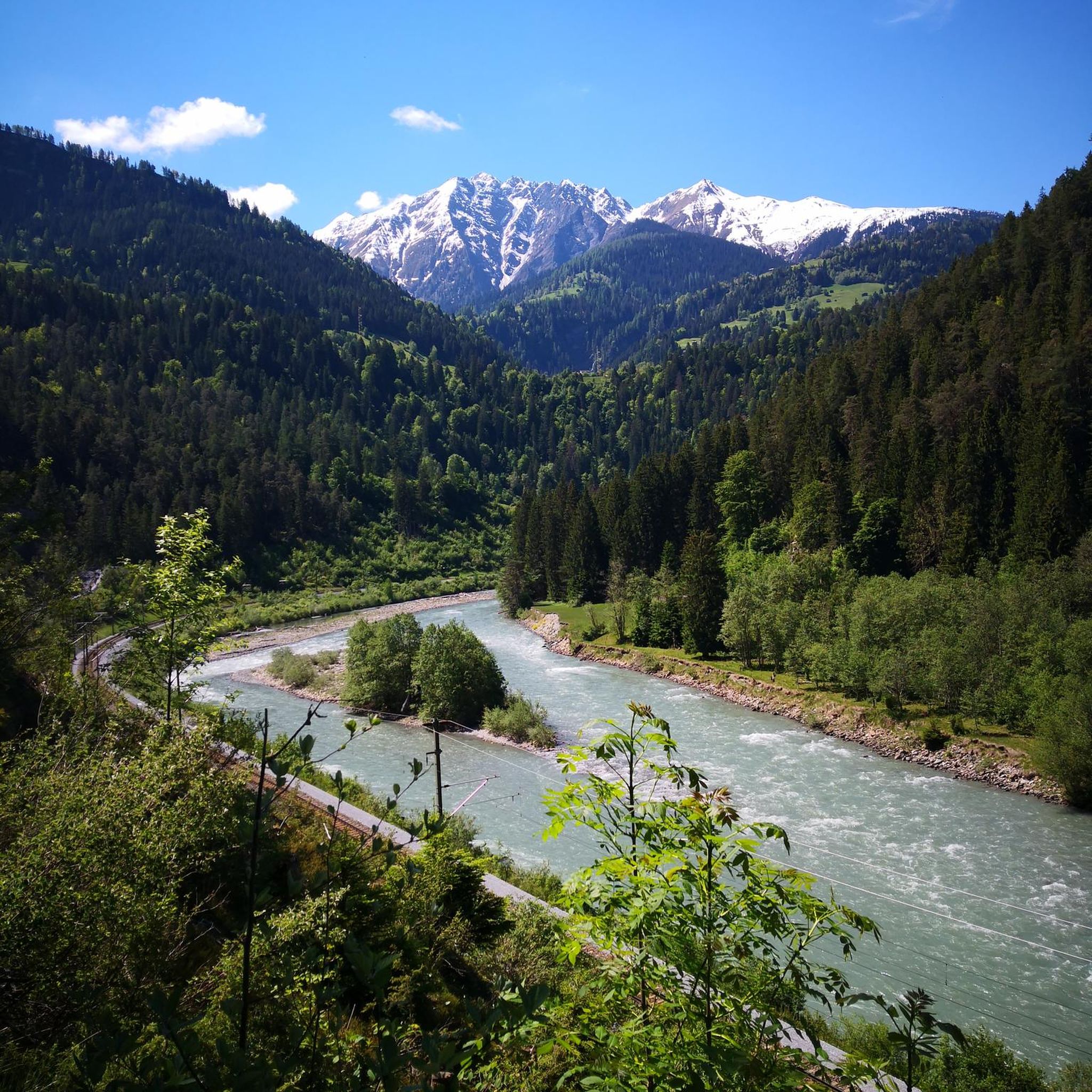
Yes, there are routes that take you along the Isère river. The The Isère – Fantastic forest road loop from Sainte-Foy-Tarentaise is a difficult 60 km route that explores this scenic area and offers views towards Cormet de Roselend.
What is the typical elevation gain for gravel bike routes in Montvalezan?
Gravel biking in Montvalezan involves significant elevation gain due to its alpine nature. Many difficult routes feature over 1,800 meters of ascent. For instance, the Roselend Dam – Col du Pré loop from Bourg-Saint-Maurice has nearly 3,000 meters of elevation gain.
Are there any easier gravel bike trails for beginners or families in Montvalezan?
Montvalezan's gravel biking routes are predominantly rated as difficult, with only a few moderate options available. The region is known for its challenging alpine terrain and significant elevation changes, making it more suitable for experienced gravel bikers. There are no easy routes listed in the immediate vicinity.
What kind of tires are recommended for gravel biking in Montvalezan?
Given the challenging and varied terrain, which includes unpaved surfaces, forest tracks, and potentially rockier sections, wide, knobbly tires are highly recommended for gravel biking in Montvalezan. This will provide better grip and comfort on the Alpine gravel roads.
Most popular routes around Montvalezan
Most popular attractions around Montvalezan

Get inspired with the komoot mobile app


Explore more
Browse the best Gravel rides in other regions.
