The best gravel rides around Obergailbach
4.9
(11)
103
riders
21
rides
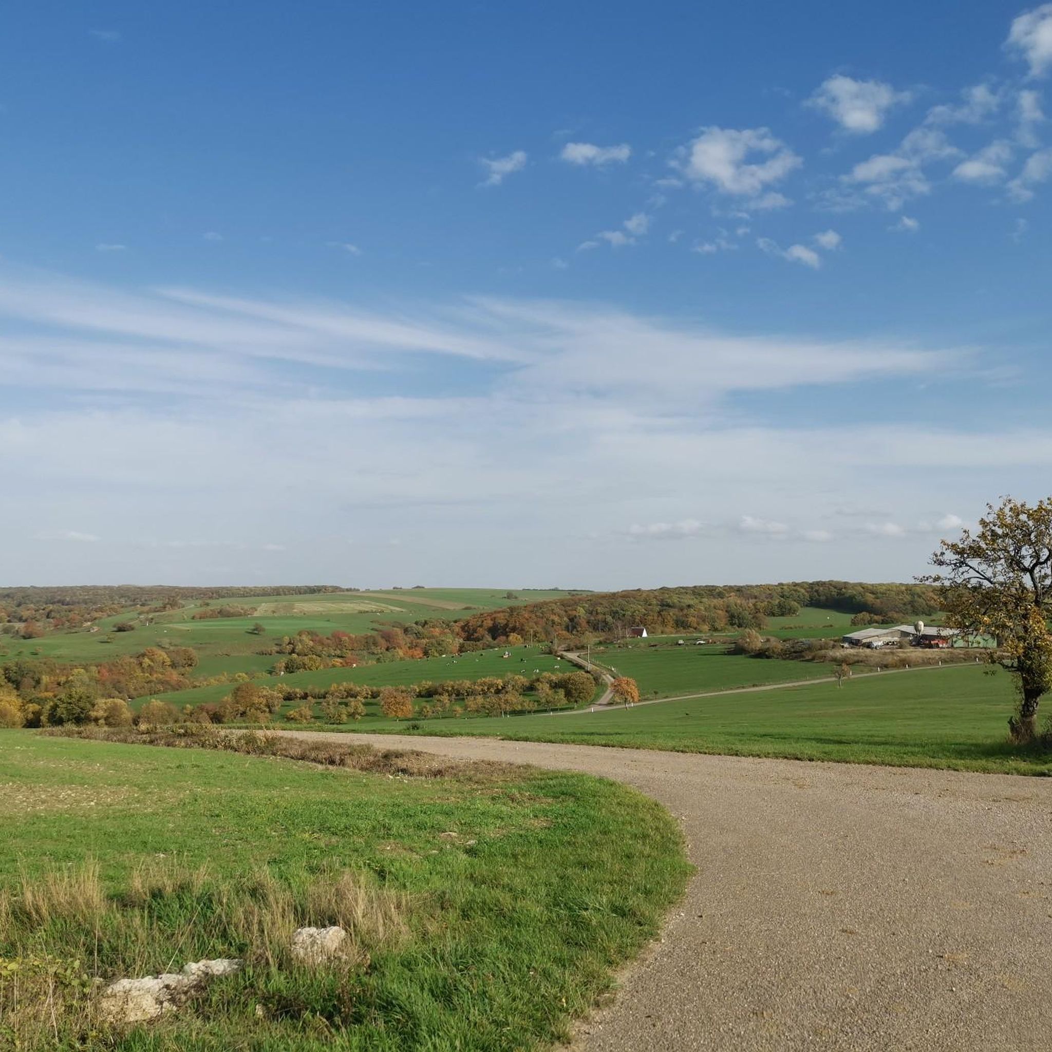
Gravel biking around Obergailbach offers varied terrain through the Moselle department of north-eastern France, near the German border. The region features a mix of agricultural land, extensive forests, and semi-natural environments within the Northern Vosges Regional Nature Park. Unpaved roads and trails are common, including sections of former railway lines and canal towpaths. This landscape provides diverse routes suitable for gravel cycling.
Best gravel bike trails around Obergailbach
- The most popular gravel bike trail is Southern Bliesgau – Heidenkopf Observation…
Last updated: October 19, 2026
4.7
(3)
22
riders
40.5km
02:23
480m
480m
Hard gravel ride. Very good fitness required. Mostly paved surfaces. Suitable for all skill levels.
5.0
(3)
26
riders
42.3km
02:29
460m
460m
Hard gravel ride. Very good fitness required. Mostly paved surfaces. Suitable for all skill levels.

6
riders
39.5km
02:39
710m
710m
Hard gravel ride. Very good fitness required. Mostly paved surfaces. Suitable for all skill levels.
5
riders
56.8km
04:13
930m
930m
Hard gravel ride. Very good fitness required. Mostly paved surfaces. Suitable for all skill levels.
5
riders
45.8km
02:55
630m
630m
Hard gravel ride. Very good fitness required. Mostly paved surfaces. Suitable for all skill levels.
Get access to more routes and recommendations from other explorers.
Already have an account?
Our route recommendations are based on thousands of hikes, rides, and runs completed by other people on komoot.
Start today with a free account
Your next adventure awaits.
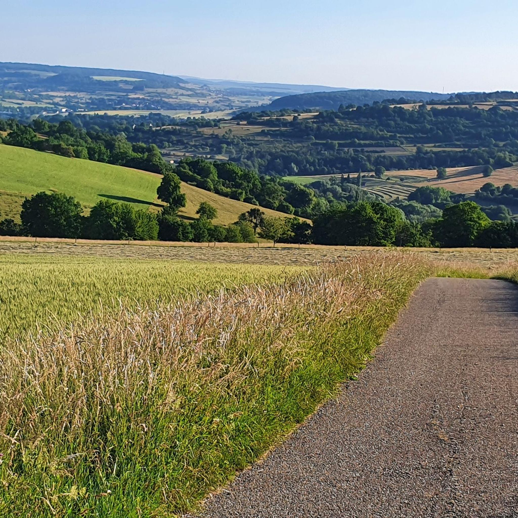
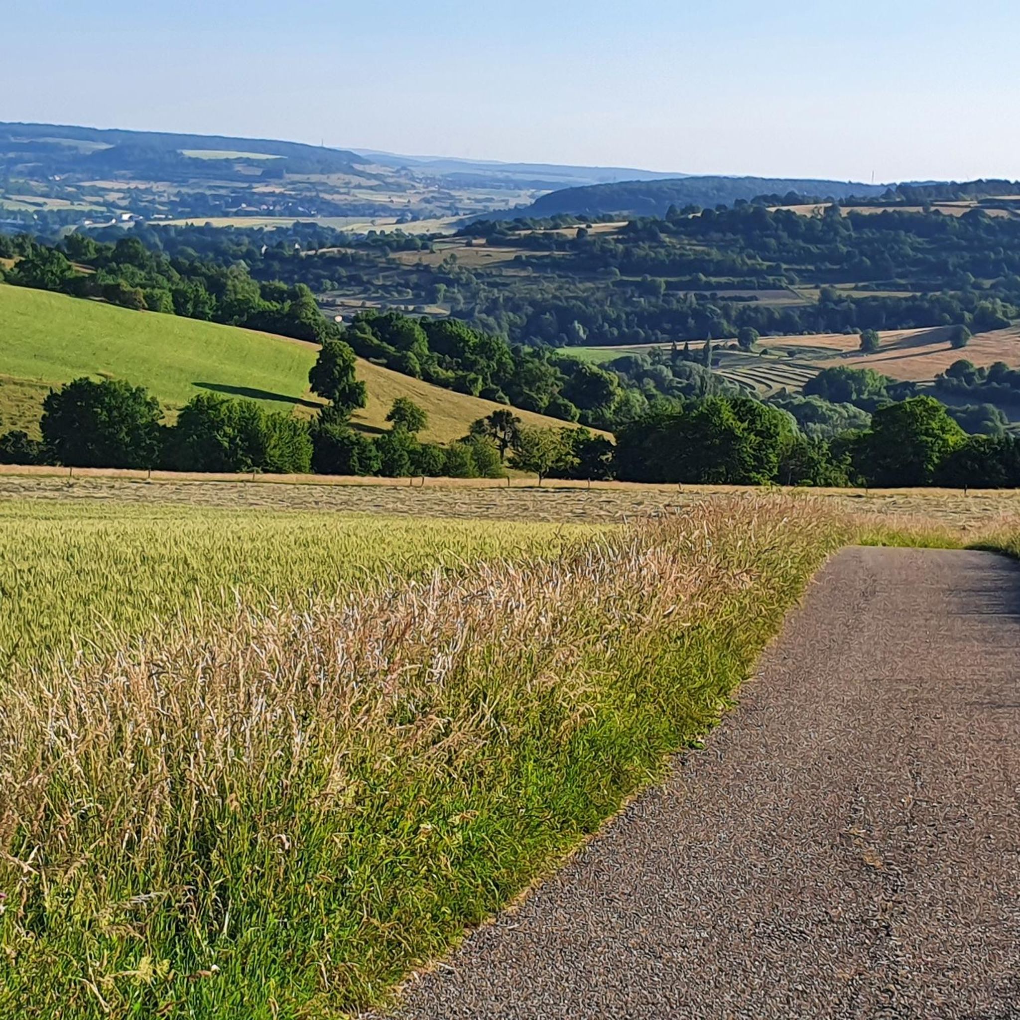
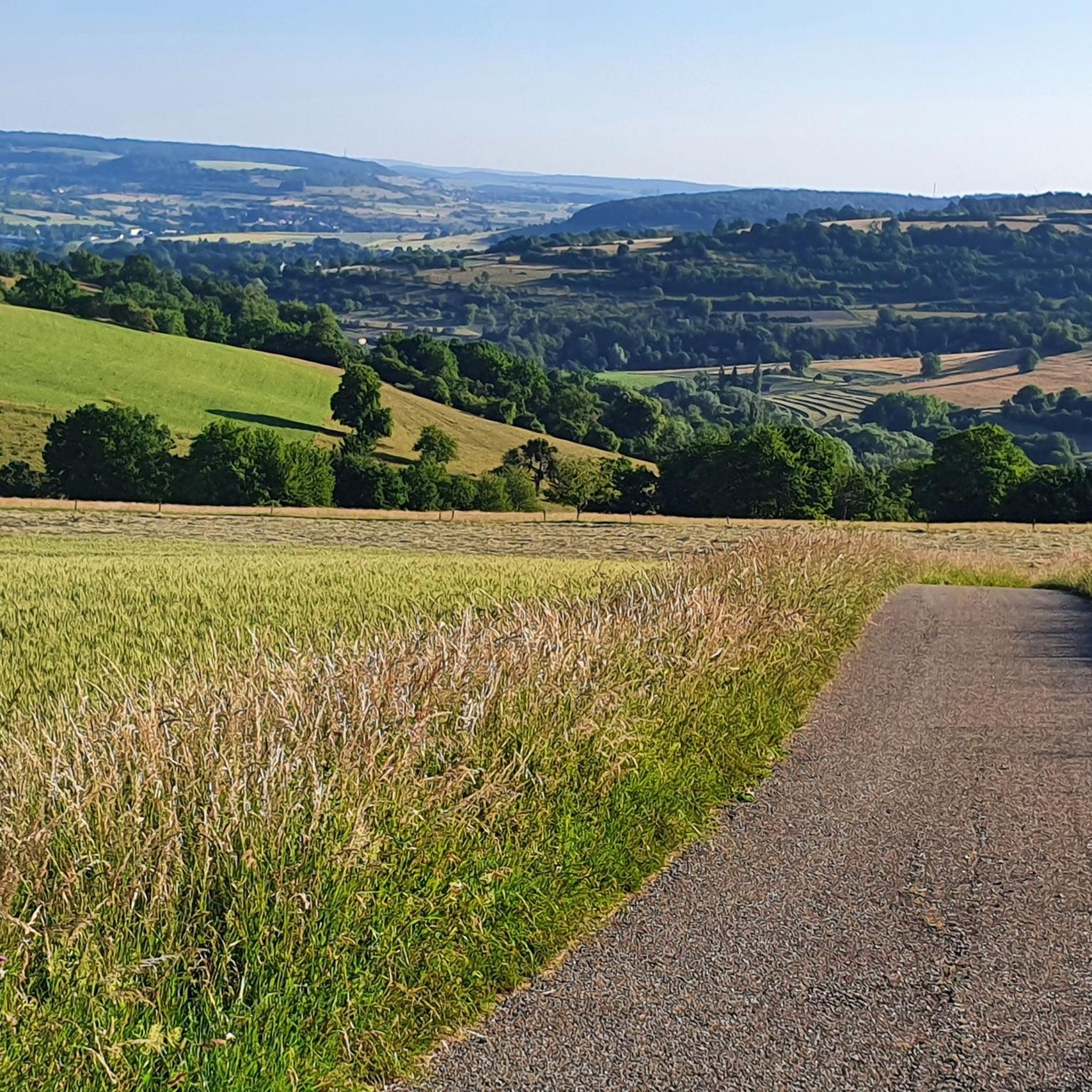
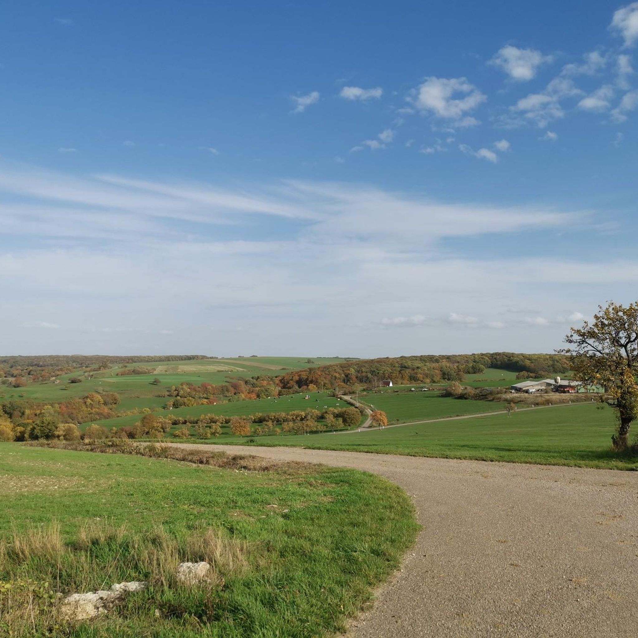
Tips from the Community

With the bike a difficult to reach point if you want the peak as it is in the middle of a field
0
0

Above Peppenkum with a view of the Medelsheim church.
0
0

The sign reads - Part 3: An old wayside cross still commemorates the wondrous story on Brudermannsfeld. The culturally and historically significant cross was donated in 1695 by the then prior of the Gräfinthal monastery, Wilhelm Klocker. The "Madonna with the Arrows", which was venerated in Gräfinthal until the dissolution of the Wilhelmiten monastery in 1785, is now located in the Kreuzkapelle in Blieskastel.
1
0
On the sign it reads - Part 3: Like many others, Countess Elisabeth von Blieskastel also visited the hermit to see the miracle. As she suffered from a painful eye disease, she smeared her eyes with the blood of the Madonna. The Countess was cured on the spot. Out of gratitude, she decided to build a worthy chapel for the Madonna. She had wood and lime bricks brought to the site. But when the builders wanted to start their work, the building material was suddenly gone. They found it in the nearby valley of the Letschen stream. Thinking it was a prank, they brought the wood and stones back to Brudermannsfeld. But the next morning, the building material was again in the valley. Countess Elisabeth saw this as a sign from God and had a chapel and a monastery built on the Letschen stream. Since then, this spot has been called Gräfinthal.
1
0
On the sign it reads - Part 2: Like many others, Countess Elisabeth von Blieskastel also visited the hermit to see the miracle. As she suffered from a painful eye disease, she smeared her eyes with the blood of the Madonna. The Countess was instantly healed. Out of gratitude, she decided to build a worthy chapel for the Madonna. She had wood and limestone brought to the site. But when the builders wanted to start their work, the building material was suddenly gone. They found it in the nearby valley of the Letschen stream. Thinking of a prank, they brought the wood and stones back to Brudermannsfeld. But the next morning, the building material was again in the valley. Countess Elisabeth saw in this a sign from God and had the chapel and a monastery built on the Letschenbach. Since then, this spot has been called Gräfinthal.
1
0
On the sign it reads - Part 1: The Brudermannsfeld near Bebelsheim According to tradition, a pious man lived on the Brudermannsfeld in the 13th century. He had carved an image of the Madonna which he greatly revered. The image of the "Sorrowful Mother of God" stood in the niche of a hollow, old beech trunk at the edge of the forest. One day, robbers came by, who beat the pious man and shot arrows at the Sorrowful Madonna in the tree niche. Five times they hit the image of suffering. And then the miracle happened: Warm, red blood flowed from the five wounds of the wooden figure. The highwaymen fled in fear and terror. The hermit, however, spread the miraculous story throughout the region.
1
0
On the bronze plaque it reads: The Miracle of Brudermannsfeld In the first half of the 19th century, some hermits of the Order of St. William settled at this spot. In the hollow of an oak tree, they had placed a wooden carved image of the Mother of Sorrows with the dead Son on her lap. Ruffians shot arrows at the image. Blood flowed from the impacts. Countess ELISABETH v. Blieskastel was healed of an eye ailment by the blood. Out of gratitude, she founded the Gräfinthal Monastery. • Gräfinthal Support Association
1
0

Bliestal Cycle Superhighway. Still beautiful
0
0
Frequently Asked Questions
How many gravel bike trails are available around Obergailbach?
There are over 30 gravel bike routes to explore around Obergailbach, offering a wide range of experiences for different skill levels. These routes traverse the varied landscapes of the Moselle department, including forests, agricultural land, and converted railway lines.
What kind of terrain can I expect on gravel bike trails in Obergailbach?
The terrain around Obergailbach is diverse, featuring a mix of unpaved forest paths, agricultural tracks, and sections of former railway lines like the Bliestal Cycle Path, which offers smoother surfaces. You'll encounter varied landscapes within the Northern Vosges Regional Nature Park, from open fields to dense woodlands.
Are there any easy or beginner-friendly gravel routes in the area?
While many routes around Obergailbach are rated as moderate to difficult, often involving significant elevation changes, there are sections of converted railway lines and canal towpaths that provide flatter, more accessible riding. For example, parts of the Bliestal Cycle Path offer a car-free experience through green hinterland, suitable for those looking for a less strenuous ride.
What are some notable landmarks or natural features I can see while gravel biking near Obergailbach?
You can discover several interesting points along the trails. The Alexanderturm Ruins offer a historical landmark, while natural beauty can be found at the Blies Floodplain between Blieskastel and Bliesdalheim or the Orchid Trail Gersheim. The region is also home to the impressive Giant Sequoia Natural Monument at Allenberg (Kämmchen).
Are there any long-distance gravel routes suitable for a day trip?
Yes, several routes are ideal for longer day trips. The Bliestal Route – Reinheimer Berg Climb loop from Umgebung Gräfinthal is a substantial 47.9-mile (77.2 km) trail that typically takes around 5 hours 35 minutes to complete, leading through the wider region and offering a challenging day out.
What is the best time of year for gravel biking in Obergailbach?
The varied landscapes of Obergailbach, including forests and agricultural areas, are enjoyable throughout much of the year. Spring and autumn offer pleasant temperatures and beautiful scenery, with changing foliage or blooming wildflowers. Summer is also suitable, though it's advisable to start earlier in the day to avoid the midday heat. Winter riding is possible, but conditions can be muddy or icy on unpaved sections.
Are there any circular gravel bike routes around Obergailbach?
Many of the gravel routes in the Obergailbach area are designed as loops, allowing you to start and finish at the same point. Examples include the popular Southern Bliesgau – Heidenkopf Observation Tower loop from Frauenberg and the Bliestal Route – View of Böckweiler loop from Herbitzheim, both offering comprehensive tours of the local landscape.
What do other gravel bikers say about the trails in Obergailbach?
The gravel biking routes around Obergailbach are highly rated by the komoot community, with an average score of 4.7 stars from over 40 reviews. Riders often praise the diverse terrain, the scenic beauty of the Northern Vosges Regional Nature Park, and the well-maintained sections of former railway lines that offer smooth riding.
Is Obergailbach suitable for family-friendly gravel biking?
While many routes are rated as difficult, sections of the Bliestal Cycle Path, which follows a converted railway line, offer flatter and car-free riding. These smoother, consistent surfaces can be more suitable for families with children or those seeking a more relaxed pace, away from traffic.
Can I bring my dog on the gravel bike trails?
Many of the natural paths and forest trails around Obergailbach are suitable for dogs, especially if they are accustomed to running alongside a bike. However, it's always recommended to keep dogs on a leash, particularly in protected areas like the Northern Vosges Regional Nature Park, and to be mindful of local regulations and other trail users.
Are there places to park my car when accessing gravel bike trails in Obergailbach?
Yes, you can typically find parking in or near the starting points of many routes. Villages and towns in the region, such as Frauenberg or Herbitzheim, often have public parking facilities that provide convenient access to the trail network. Always check local signage for any parking restrictions.
Are there any cafes or pubs along the gravel bike routes in Obergailbach?
While specific cafes directly on every trail may vary, the routes often pass through or near villages and towns where you can find local establishments. Exploring the charming villages within the Pays de Bitche and the Northern Vosges Regional Nature Park will likely lead you to places offering refreshments and local cuisine.
Most popular routes around Obergailbach
Most popular attractions around Obergailbach

Get inspired with the komoot mobile app


Explore more
Browse the best Gravel rides in other regions.
