The best gravel rides around Sankt Störingen
4.6
(5)
37
riders
6
rides
Gravel biking around Sankt Störingen offers a diverse landscape characterized by river valleys, rolling hills, and sections along historical waterways. The region features a mix of paved and unpaved paths, including routes along the EV6 and Canal du Rhone au Rhin. Elevations vary, with some trails presenting significant climbs while others remain relatively flat. The terrain includes river valleys, canal paths, and varied sections with both moderate and difficult options.
Best gravel bike trails around Sankt Störingen
- The most popular gravel bike trail is Porrentruy Castle – View of Haute Ajoie loop from Porrentruy, a 22.3 miles (35.9 km) trail that takes 2 hours 34 minutes to complete. This challenging route features significant elevation gain and passes by historical landmarks.
- Another top favourite among local gravel bikers is Col de Montvoie loop from Porrentruy, a difficult 13.7 miles (22.0 km) path. This route offers varied terrain with notable climbs.
- Local gravel bikers also love the Pleasant – Picnic table loop from Joncherey, a 13.8 miles (22.2 km) trail leading through varied landscapes, often completed in about 1 hour 30 minutes.
- Gravel biking around Sankt Störingen is defined by river valleys, canal paths, and varied terrain with both moderate and difficult sections. The network offers options for different ability levels, from longer endurance rides to routes with less elevation.
- The routes in Sankt Störingen are highly rated by the komoot community with an average score of 5.0 stars from over 2 reviews. More than 10 gravel bikers have used komoot to explore Sankt Störingen's varied terrain.
Last updated: July 3, 2026
10
riders
40.0km
02:19
230m
230m
Moderate gravel ride. Good fitness required. Mostly paved surfaces. Suitable for all skill levels.
4
riders
19.0km
01:25
250m
250m
Moderate gravel ride. Good fitness required. Mostly paved surfaces. Suitable for all skill levels.

Sign up for free
3
riders
23.0km
01:34
240m
240m
Hard gravel ride. Good fitness required. You may need to push your bike for some segments of this route.
5.0
(1)
4
riders
22.4km
01:43
490m
490m
Hard gravel ride. Very good fitness required. Mostly paved surfaces. Suitable for all skill levels.
5.0
(1)
5
riders
35.9km
02:34
700m
700m
Hard gravel ride. Very good fitness required. You may need to push your bike for some segments of this route.
Our route recommendations are based on thousands of hikes, rides, and runs completed by other people on komoot.
Start today with a free account
Your next adventure awaits.
Login or Signup

Tips from the Community

The Hota Hotel Porrentruy is located in the middle of the beautiful, small old town of Porrentruy and is also quickly reachable from the train station. It has the Bike Hotel label and is therefore perfect if you are on a tour through the Jura landscapes. The hotel has 39 rooms in two different categories. In the hotel's own restaurant L’Alambic, you can replenish your calorie stores after your ride with tasty regional dishes. More information about the hotel: https://hotahotels.com/en/hotel/porrentruy/.
0
0

This bridge on the Transjurane Autoroute is constructed over the cycling path from Porrentruy to Fahy. The cycling path itself is in excellent condition on mainly flat surface.
0
0

small table at the exit of the village, pretty cool
0
0

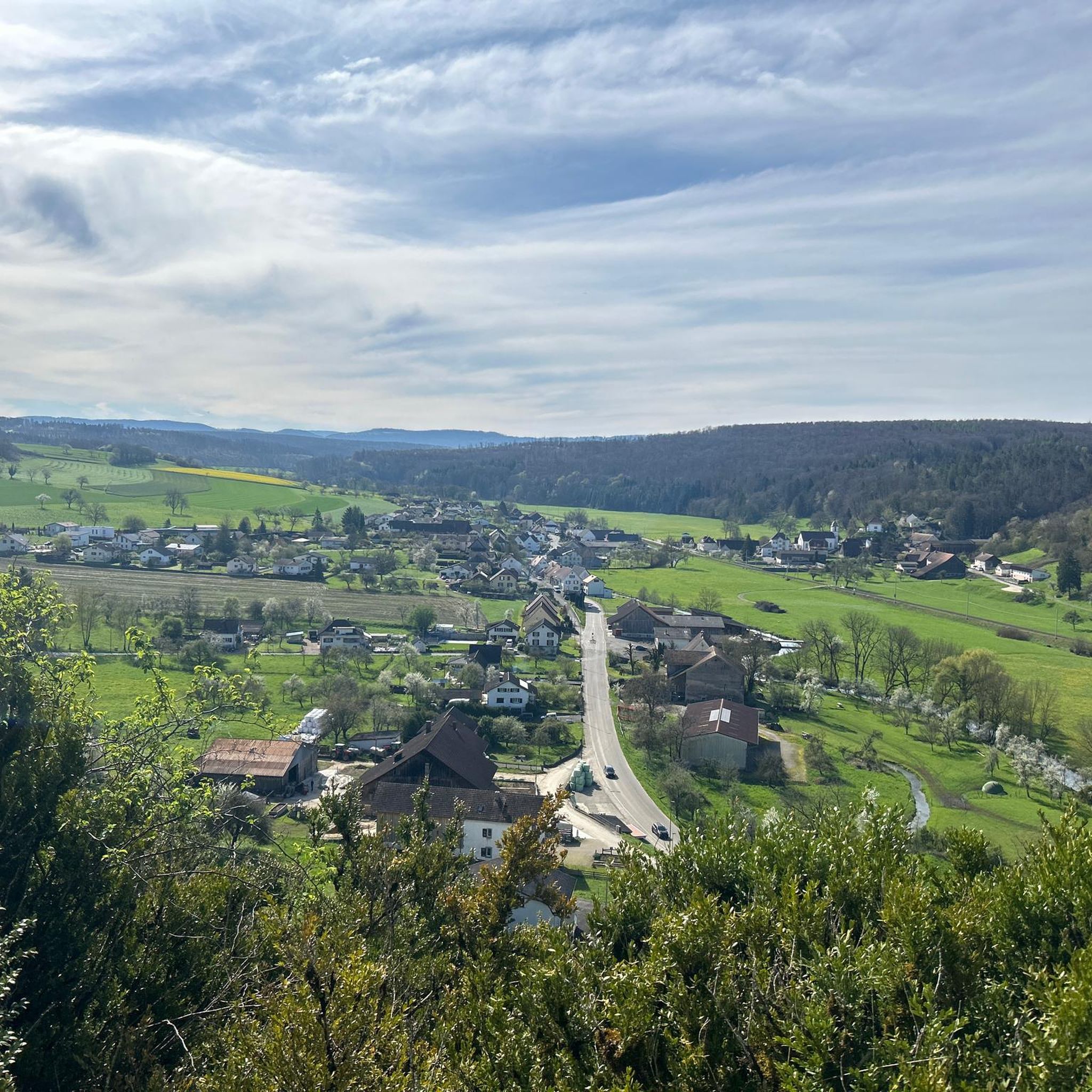
A beautiful green paradise between the highway and the city. The birdsong even drowns out the highway noise.
0
0

A beautiful strip of nature with waters and wet meadows, between the motorway and the city, for relaxation and enjoyment of nature.
3
0

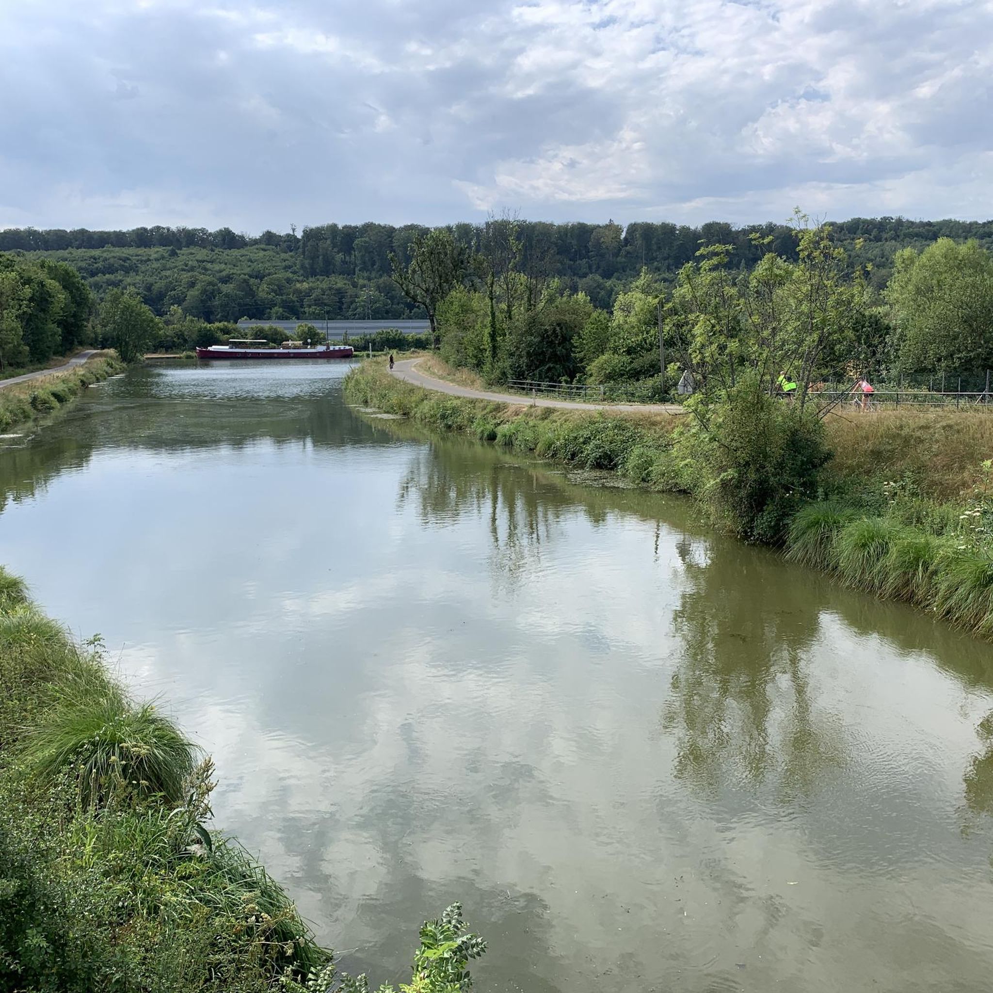
A "chemin de halage", in German "treidelpfad", which runs alongside the waterway right next to the bed of the river or canal, was an indispensable part of the transport infrastructure in earlier times. Before ships could move using motor power, horses ran along the bank and pulled the ship against the current. This was called "treideln", and this is how the "treidelpfads" got their name, which has been passed down to this day. Where these paths directly on the bank have been preserved, they are often used by hikers and cyclists.
0
1

Beautiful scenery and nice cycle path.
0
0
Beautiful cycle path along the canal, very pleasant cycling, even if the asphalt is a bit old.
0
0
Frequently Asked Questions
How many gravel bike trails are available in Sankt Störingen?
Sankt Störingen offers a selection of 6 gravel bike routes, ranging from moderate to difficult, providing diverse options for exploring the region's river valleys and rolling hills.
Are there any easy gravel bike trails suitable for beginners in Sankt Störingen?
While the routes in Sankt Störingen are generally rated moderate to difficult, some sections along the EV6 and Canal du Rhone au Rhin offer flatter terrain. For a moderate option with less elevation, consider the EV6 and bridge over the Allan – La Coulée Verte loop from Morvillars, which covers 31.3 km with only 129 meters of ascent.
What kind of terrain can I expect on gravel bike routes around Sankt Störingen?
The region features a varied landscape with river valleys, rolling hills, and historical waterways. You'll encounter a mix of paved and unpaved paths, including sections along the EV6 and the Canal du Rhone au Rhin. Elevations vary, offering both relatively flat canal-side rides and routes with significant climbs.
Are there any family-friendly gravel biking options in Sankt Störingen?
For families looking for a less strenuous ride, routes that follow the canal paths, such as the Étupes Lock on the EV6 – On the Canal du Rhone au Rhin 🚴 loop from Taillecourt, offer a more gentle experience. These paths are often flatter and provide scenic views suitable for a family outing.
Are the gravel bike routes in Sankt Störingen circular?
Yes, all the gravel bike routes listed for Sankt Störingen are designed as loops, meaning you will start and finish at the same point, making logistics easier for your ride.
What are some notable landmarks or attractions I can see along the gravel bike trails?
Many routes pass by interesting sights. You might encounter the historic Porrentruy Castle, or cycle alongside the Montbéliard–Haute-Saône Canal beside the Allan. The Étupes Lock on the EV6 is another point of interest, and for panoramic views, look out for the Mont Renaud Observation Tower.
Are there any routes with significant elevation gain for advanced gravel bikers?
Absolutely. For a challenging ride with substantial climbing, the Porrentruy Castle – Old mill on the Allaine river loop from Courtemaîche features nearly 777 meters of elevation gain over 58.9 km, offering a demanding experience for advanced riders.
What is the longest gravel bike route available in Sankt Störingen?
The longest gravel bike route in the area is the Porrentruy Castle – Old mill on the Allaine river loop from Courtemaîche, spanning 58.9 km and typically taking around 4 hours and 30 minutes to complete.
What do other gravel bikers say about the trails in Sankt Störingen?
The gravel biking routes in Sankt Störingen are highly regarded by the komoot community, boasting an average rating of 5.0 stars from over 15 reviews. Riders often praise the diverse terrain, scenic river valleys, and the well-maintained canal paths.
Are there any natural monuments or unique natural features to discover?
Yes, the region offers several natural highlights. You can visit the Porrentruy Botanical Garden, or explore the fascinating Dinosaur Tracks of Pommerat. For a picturesque spot, the Doue Spring is also a notable natural monument.
What is a good moderate-difficulty gravel bike route in the area?
A great moderate option is the Junction to Mandeure – Shadoof well loop from Audincourt. This 36.2 km route offers a balanced challenge with around 397 meters of elevation gain, making it suitable for riders looking for a solid day out without extreme difficulty.
What is the shortest gravel bike route in Sankt Störingen?
For a shorter, yet still challenging ride, consider the Pleasant – Picnic table loop from Joncherey. This route is 22.1 km long and is rated as difficult, offering a compact but intense experience.
Most popular routes around Sankt Störingen
Most popular attractions around Sankt Störingen

Get inspired with the komoot mobile app


Explore more
Browse the best Gravel rides in other regions.
