The best gravel rides around Neuweiler
4.4
(18)
96
riders
14
rides
Gravel biking around Neuweiler features a landscape characterized by a mix of open countryside, forested areas, and proximity to water bodies like lakes and ponds. The region offers varied terrain suitable for gravel bikes, with routes often following river valleys and connecting historical points. Elevation changes are generally moderate, providing accessible riding experiences across the area.
Best gravel bike trails around Neuweiler
- The most popular gravel bike trail is La porte d'Alsace, a 12.7 miles (20.5 km) trail that…
Last updated: July 3, 2026
3.8
(4)
6
riders
20.5km
01:30
90m
90m
Easy gravel ride. Great for any fitness level. Mostly paved surfaces. Suitable for all skill levels.
5.0
(4)
28
riders
Hard gravel ride. Very good fitness required. Mostly paved surfaces. Suitable for all skill levels.

Sign up for free
5.0
(3)
13
riders
34.1km
02:08
250m
250m
Hard gravel ride. Good fitness required. You may need to push your bike for some segments of this route.
4.0
(1)
7
riders
37.8km
02:11
290m
290m
Moderate gravel ride. Good fitness required. Mostly paved surfaces. Suitable for all skill levels.
5.0
(1)
6
riders
98.1km
06:07
750m
750m
Hard gravel ride. Very good fitness required. Mostly paved surfaces. Suitable for all skill levels.
Get access to more routes and recommendations from other explorers.
Sign up for free
Already have an account?
Our route recommendations are based on thousands of hikes, rides, and runs completed by other people on komoot.
Start today with a free account
Your next adventure awaits.
Login or Signup
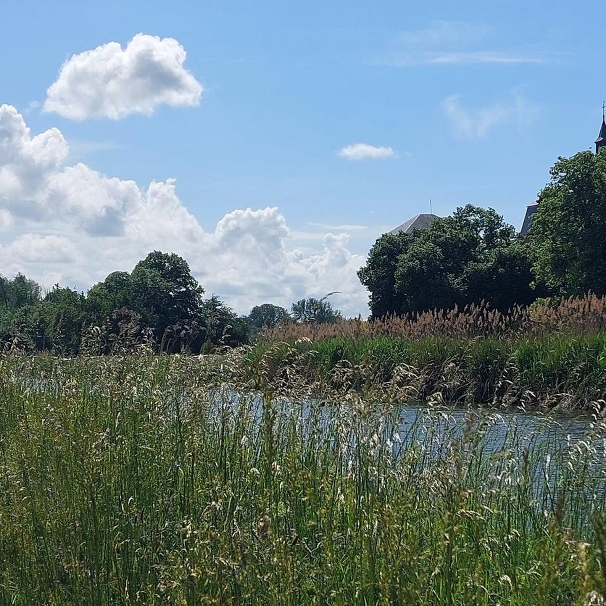
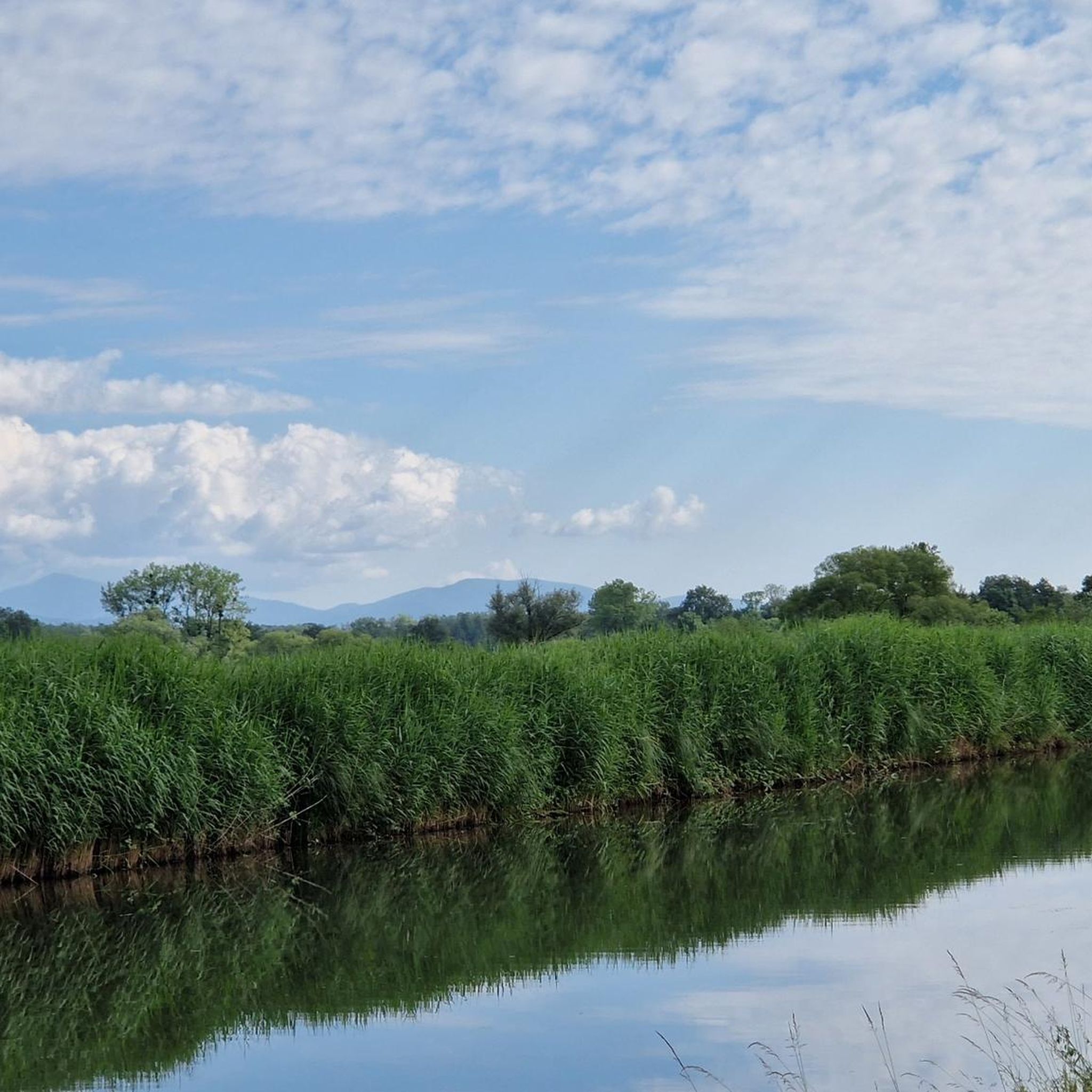
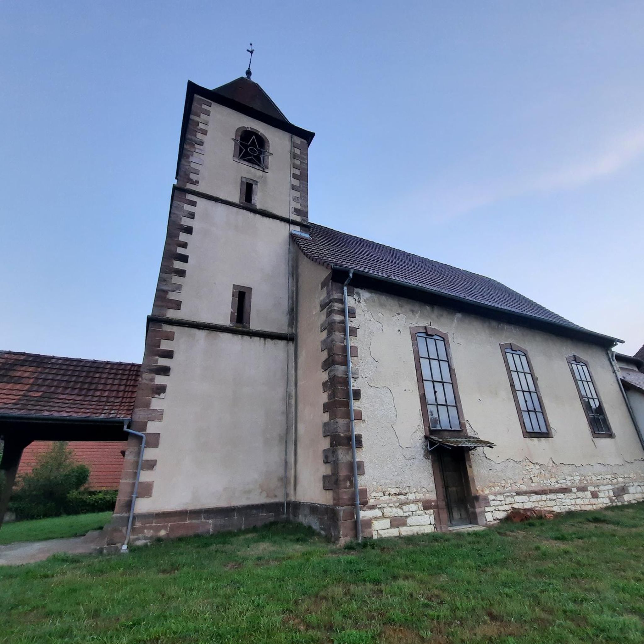
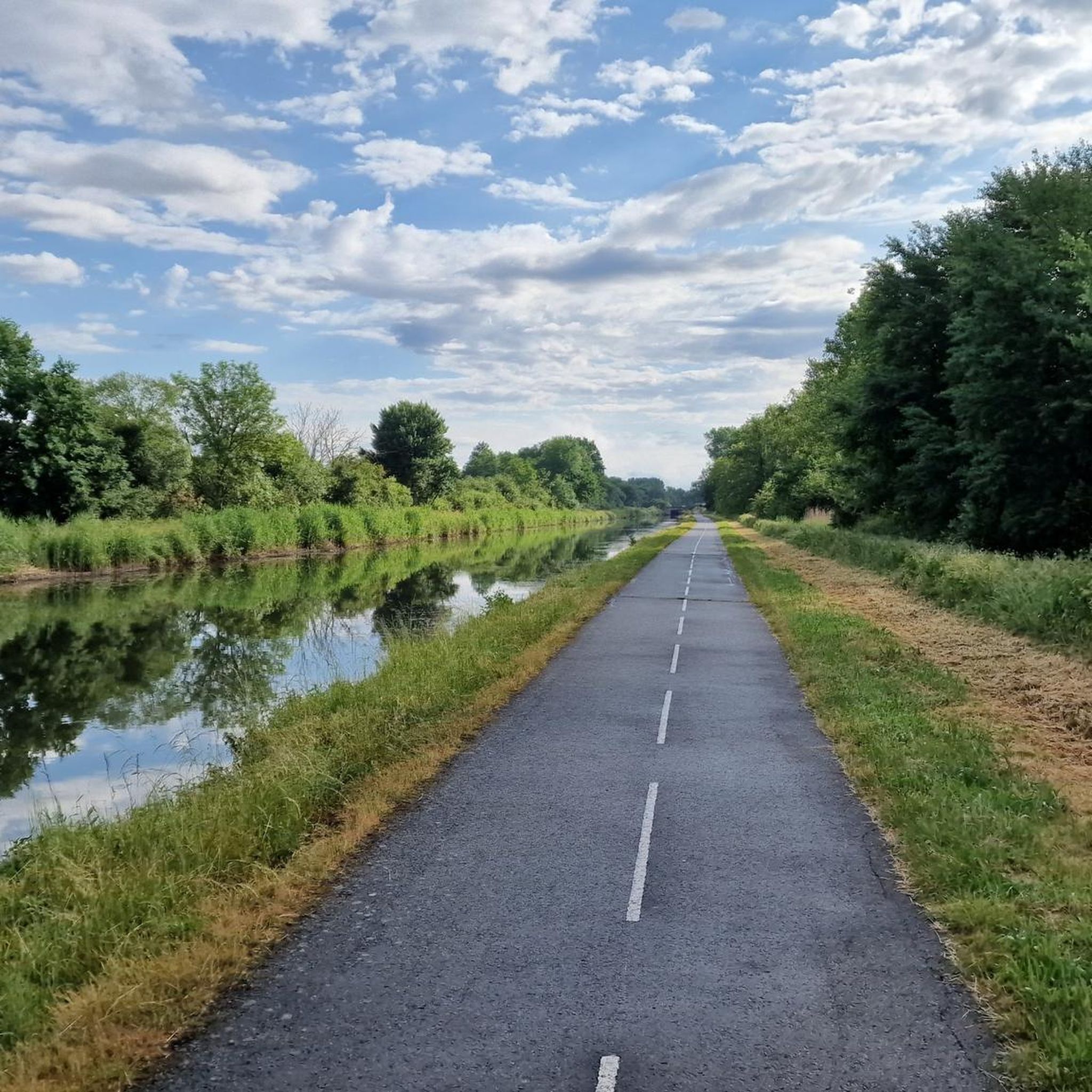

Tips from the Community

very beautiful route!!! drive slowly!! watch out for pedestrians
0
0

No idea why I didn't write anything about this...🤔😅
0
1
Beautiful sculpture and coat of arms of Belfort, below the fortress.
0
0

Right next to the Largue cycle path lies this cosy nature centre in Altenach. You will find a short educational walk, a playground, picnic benches and a small exhibition about the nature of Alsace. Ideal to stretch your legs, have a bite to eat or go exploring with children. Free admission and open on Sunday afternoons in the summer months.
7
1


A "chemin de halage", in German "treidelpfad", which runs alongside the waterway right next to the bed of the river or canal, was an indispensable part of the transport infrastructure in earlier times. Before ships could move using motor power, horses ran along the bank and pulled the ship against the current. This was called "treideln", and this is how the "treidelpfads" got their name, which has been passed down to this day. Where these paths directly on the bank have been preserved, they are often used by hikers and cyclists.
0
1
Frequently Asked Questions
How many gravel bike trails are available around Neuweiler?
There are over 25 gravel bike trails around Neuweiler, offering a diverse range of experiences for all skill levels. The komoot community has contributed 27 routes in total for the area.
What kind of terrain can I expect on gravel bike trails around Neuweiler?
The region around Neuweiler features a varied landscape, including open countryside, extensive forested areas, and numerous lakes and ponds. Routes often follow river valleys, providing a mix of surfaces suitable for gravel bikes. Elevation changes are generally moderate, making the area accessible for various riding experiences.
Are there easy gravel bike trails suitable for beginners in Neuweiler?
Yes, Neuweiler offers several easy gravel bike trails perfect for beginners. For example, La porte d'Alsace is an easy 12.7-mile route that provides a relatively flat experience connecting towards the Alsace region.
Where can I find more challenging gravel bike routes around Neuweiler?
For those seeking a challenge, Neuweiler has 11 difficult gravel bike routes. A notable option is the Lake Malsaucy – Lac du Malsaucy loop from Danjoutin, a demanding 46.4-mile route with significant elevation changes, exploring the scenic lake area.
Are there circular gravel bike routes available in Neuweiler?
Many of the gravel bike routes around Neuweiler are designed as loops. The Lac du Malsaucy – Véronne Pond loop from Belfort is a popular 23.5-mile option that takes you through picturesque lake and pond areas.
What interesting sights or landmarks can I see along the gravel bike trails?
The region is rich in historical and natural attractions. Along various routes, you might encounter sights like the Valdieu-Lutran lock scale, sections of the Canal du Rhône au Rhin, or the impressive Lion of Belfort. Some trails also pass by historical fortifications such as Fort de Vézelois.
What do other gravel bikers say about the trails in Neuweiler?
The gravel bike trails around Neuweiler are highly rated by the komoot community, with an average score of 4.4 stars from over 11 reviews. Riders often praise the varied terrain, the mix of open countryside and forests, and the scenic beauty of the lakes and ponds.
Are there any family-friendly gravel bike routes in the area?
While specific 'family-friendly' designations aren't always explicit, the region's generally moderate elevation changes and numerous easy routes make it suitable for families. Look for the 'easy' graded routes, which often follow flatter paths along rivers or lakes, providing a pleasant experience for all ages.
When is the best time of year for gravel biking in Neuweiler?
The best time for gravel biking in Neuweiler is typically from spring through early autumn (April to October). During these months, the weather is generally mild, and the trails are in good condition, allowing you to fully enjoy the diverse landscapes and attractions.
Are there routes that explore historical fortifications?
Yes, some routes delve into the region's history. The Fort Senarmont, Bessoncourt – Fort de Vézelois loop from Belfort is a difficult 20.0-mile path that specifically explores historical fortifications and their surrounding woodlands, offering a unique blend of cycling and history.
Can I find routes that incorporate waterways or canals?
Absolutely. Many routes in the Neuweiler area are characterized by their proximity to water bodies. The EV6 and bridge over the Allan – La Coulée Verte loop from Morvillars is a moderate 19.4-mile route that follows the EuroVelo 6 path, often running alongside canals and rivers like the Allan.
Most popular attractions around Neuweiler

Get inspired with the komoot mobile app


Explore more
Browse the best Gravel rides in other regions.
