The best gravel rides around Welschenesch
4
riders
8
rides
Gravel biking around Welschenesch offers a diverse landscape characterized by valleys, streams, and significant ascents. The region features varied terrain, from the gentle gradients of valley paths to the challenging climbs of mountain passes. Gravel bike trails often follow watercourses and lead through areas with notable elevation changes. The network of routes provides options for different skill levels, including both moderate and difficult sections.
Best gravel bike trails around Welschenesch
- The most popular gravel bike trail is Le vallon du Steinbach, a 6.9 miles (11.1 km) trail that takes 55 minutes to complete. This route navigates a valley landscape with a moderate elevation gain.
- Another top favourite among local gravel bikers is Les deux Traubach, a moderate 12.2 miles (19.7 km) path. This trail explores areas around two streams, offering varied terrain and scenery.
- Local gravel bikers also love the Le vallon du Traubach, a 9.3 miles (15.0 km) trail leading through a valley with a stream, often completed in about 1 hour 14 minutes.
- Gravel biking around Welschenesch is defined by valleys, streams, and significant mountain passes. The network offers options for different ability levels, from moderate valley routes to challenging mountain climbs.
- The routes in Welschenesch are highly rated by the komoot community with an average score of 4.8 stars from several reviews. More than 90 gravel bikers have used komoot to explore Welschenesch's varied terrain.
Last updated: July 3, 2026
19.7km
01:27
170m
170m
Moderate gravel ride. Good fitness required. Mostly paved surfaces. Suitable for all skill levels.
15.0km
01:14
180m
180m
Moderate gravel ride. Good fitness required. Some segments of this route may be unpaved and difficult to ride.

Sign up for free
11.1km
00:55
110m
120m
Moderate gravel ride. Great for any fitness level. Some segments of this route may be unpaved and difficult to ride.
4
riders
44.9km
03:30
1,100m
1,100m
Hard gravel ride. Very good fitness required. You may need to push your bike for some segments of this route.
4
riders
41.5km
02:29
420m
420m
Moderate gravel ride. Good fitness required. Mostly paved surfaces. Suitable for all skill levels.
Get access to more routes and recommendations from other explorers.
Sign up for free
Already have an account?
Our route recommendations are based on thousands of hikes, rides, and runs completed by other people on komoot.
Start today with a free account
Your next adventure awaits.
Login or Signup

Tips from the Community

very beautiful route!!! drive slowly!! watch out for pedestrians
0
0


Nice climb, very good asphalt. Little traffic (during the week in early June).
0
0


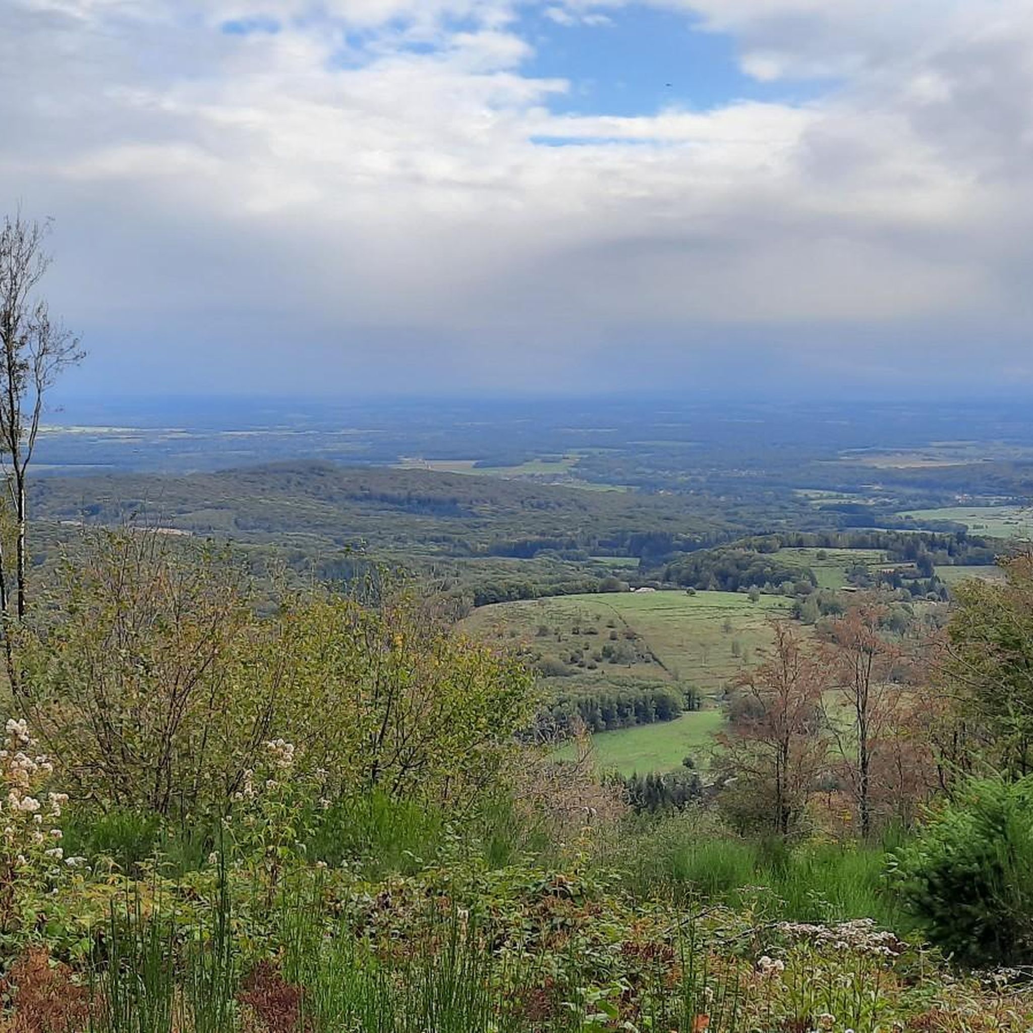
A beautiful, not too challenging climb on a wide, well-paved road. More views from the south than from the north.
0
1

The Champagney basin (also known as the Bois de Champagney reservoir1) is a 13 million m3 reservoir, formed by a dam. The dam is 41 meters high and 32 meters thick at the base. It has a length of 785 meters. We fill the dam in winter and spring (it can serve as an outlet for the floods of the Rahin), and we try to maintain the level at the highest level during the summer, for water sports: the practice of sailing, board or boat is organized by local clubs. Swimming is prohibited on the entire body of water.
3
0
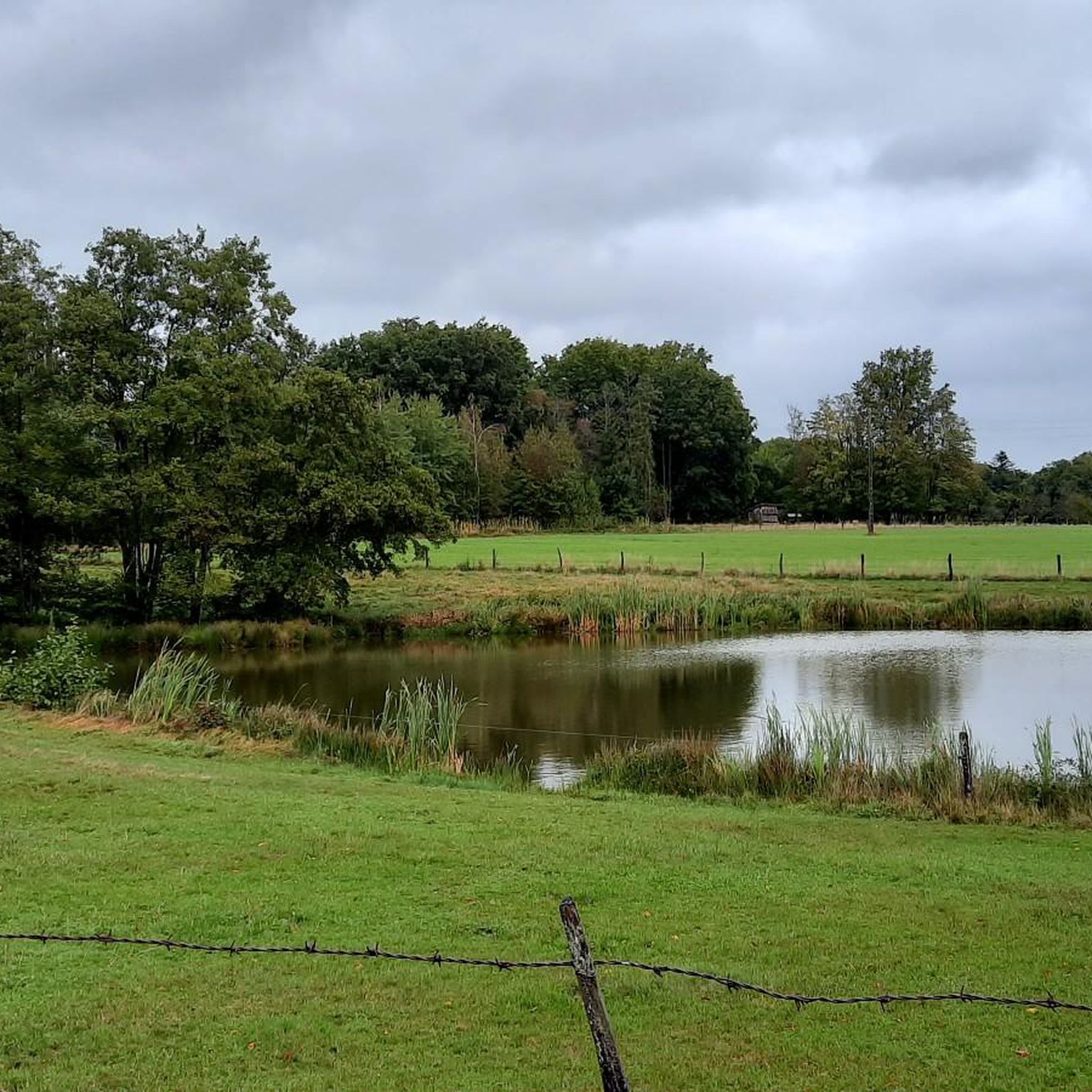
1.3 km gravel path (accessible by almost all bikes, except road bikes) through quiet fields and ponds.
2
0

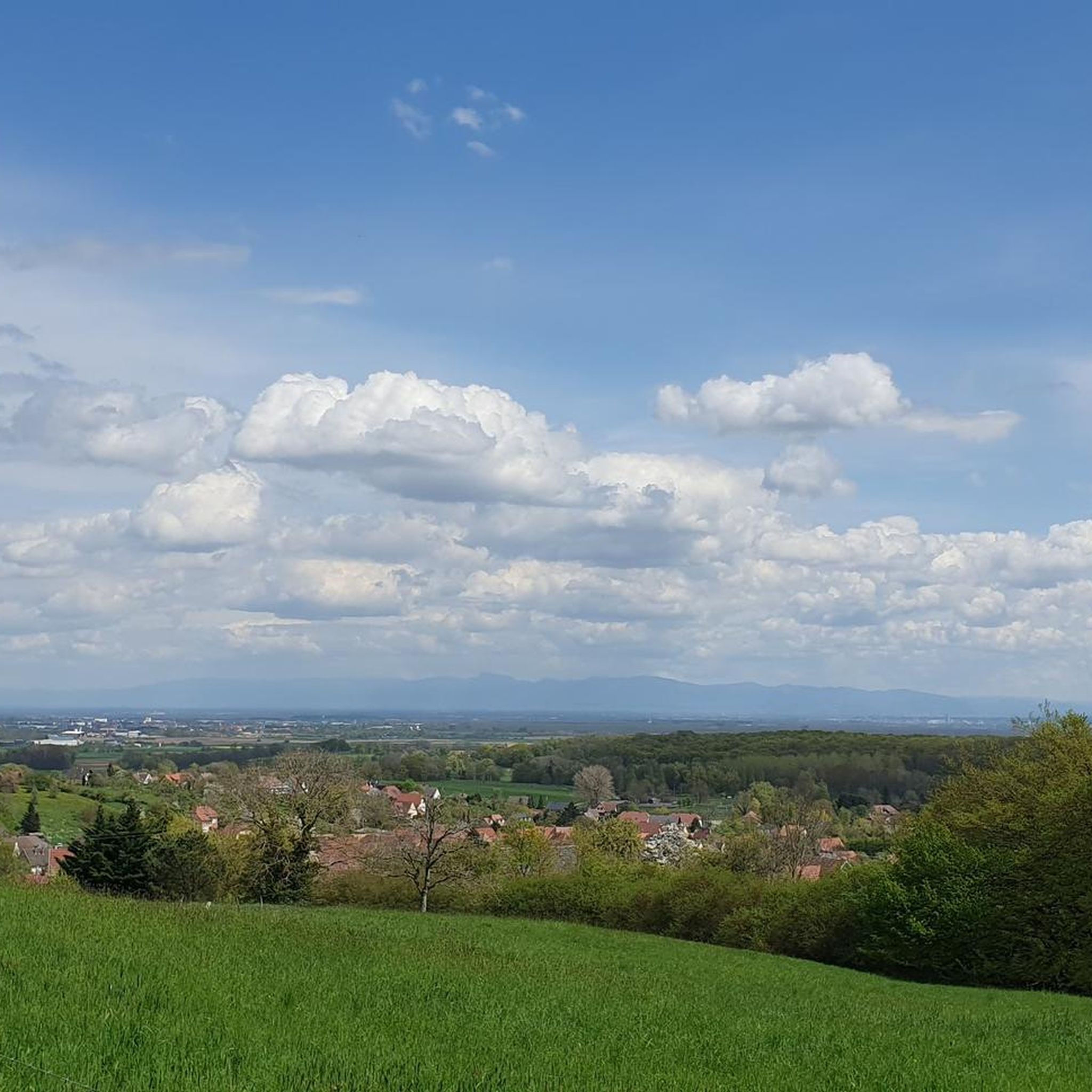
A treat from the Thann Valley. Beautiful asphalt, a clear view of the Grand Balloon 🎈 in the first bends and accessible percentages. Perfect !
3
0
Frequently Asked Questions
How many gravel bike trails are available around Welschenesch?
There are 14 gravel bike trails around Welschenesch, offering a mix of moderate and challenging routes through valleys, along streams, and over significant ascents.
What is the best time of year for gravel biking in Welschenesch?
The varied terrain of Welschenesch, with its valleys and streams, makes it enjoyable across multiple seasons. Spring and autumn offer pleasant temperatures and vibrant scenery, while summer is ideal for longer rides. Be mindful of potential mud conditions after heavy rain, especially on valley paths.
Are there any challenging gravel bike trails near Welschenesch?
Yes, Welschenesch offers several challenging gravel bike trails. For instance, the La Planche des Belles Filles – Ballon de Servance loop from Giromagny is a demanding 88.9 km route with over 2000 meters of elevation gain. Another difficult option is the Hundsruck Pass – Hundsruck loop from Masevaux-Niederbruck, covering 44.5 km with significant climbs.
What kind of terrain can I expect on gravel bike trails in Welschenesch?
Gravel biking in Welschenesch features a diverse landscape. You'll encounter paths winding through valleys, alongside streams, and challenging sections with significant ascents over mountain passes. The terrain varies from gentle gradients to more demanding climbs.
Are there any loop gravel bike trails in Welschenesch?
Yes, several routes in the region are designed as loops. For a challenging experience, consider the La Planche des Belles Filles – Ballon de Servance loop from Giromagny or the Hundsruck Pass – Hundsruck loop from Masevaux-Niederbruck, both offering extensive circular routes.
What do other gravel bikers say about the trails in Welschenesch?
The gravel bike trails in Welschenesch are highly rated by the komoot community, with an average score of 4.8 stars. Reviewers often praise the varied terrain, the scenic beauty of the valleys and streams, and the options available for different skill levels.
Are there any interesting landmarks or attractions along the gravel bike trails in Welschenesch?
While riding, you might encounter interesting points like the Doller Trail — From Masevaux to Sewen, which is a cycle way. Other notable nearby attractions include the Sentheim Train Station, Fort Senarmont, Bessoncourt, and the Arromanches Bridge of Chaux.
What is the typical duration for a gravel bike ride in Welschenesch?
Ride durations vary significantly based on the trail's length and difficulty. For example, the moderate Le vallon du Steinbach can be completed in about 55 minutes, while longer, more difficult routes like the La Planche des Belles Filles – Ballon de Servance loop can take several hours.
Are there any moderate gravel bike trails suitable for intermediate riders?
Yes, Welschenesch offers several moderate trails. The Les deux Traubach route is a popular moderate 19.7 km path exploring areas around two streams. Another good option is Le vallon du Traubach, a 15 km trail through a scenic valley.
What should I wear for gravel biking in Welschenesch during autumn?
In autumn, temperatures can vary, so layering is key. Opt for moisture-wicking base layers, a long-sleeved jersey, and a windproof/water-resistant jacket. Gloves, a hat or headband under your helmet, and appropriate cycling shorts are also recommended. Given the potential for mud, consider waterproof shoe covers.
How does gravel biking in Welschenesch compare to Interlaken?
Welschenesch is characterized by its diverse landscape of valleys, streams, and significant ascents, offering a mix of moderate and challenging routes. While Interlaken is known for its dramatic alpine scenery and lake views, Welschenesch provides a distinct experience with its focus on varied forest and valley terrain, often with a more secluded feel.
Most popular routes around Welschenesch
Most popular attractions around Welschenesch

Get inspired with the komoot mobile app


Explore more
Browse the best Gravel rides in other regions.
