The best gravel rides around Grattepanche
4.3
(33)
107
riders
49
rides
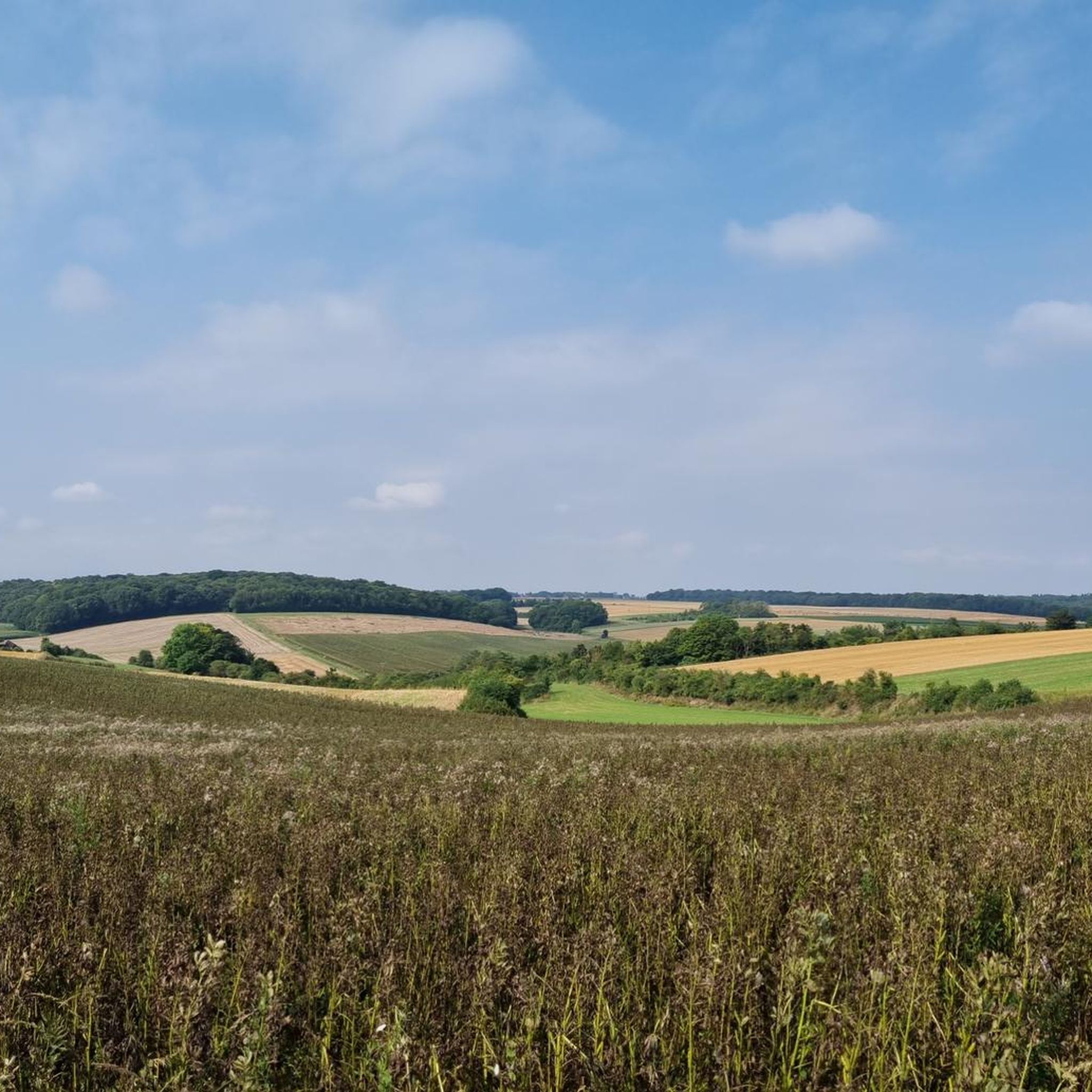
Gravel biking around Grattepanche offers routes primarily characterized by the Somme River valley and its surrounding agricultural lands. The region features a network of paths along river towpaths and through marshlands, providing varied terrain for gravel cyclists. While generally low in elevation, some routes include gradual ascents and descents. The landscape is defined by waterways, open fields, and occasional wooded sections.
Best gravel bike trails around Grattepanche
- The most popular gravel bike trail is Lamotte-Brebière lock – Towpath Along the…
Last updated: July 3, 2026
5.0
(1)
22
riders
85.9km
05:48
620m
620m
Hard gravel ride. Very good fitness required. Mostly paved surfaces. Suitable for all skill levels.
4.7
(3)
23
riders
86.9km
04:30
240m
240m
Moderate gravel ride. Good fitness required. Mostly paved surfaces. Suitable for all skill levels.

Sign up for free
5.0
(6)
24
riders
24.7km
01:13
70m
70m
Easy gravel ride. Great for any fitness level. Mostly paved surfaces. Suitable for all skill levels.
6
riders
Hard gravel ride. Very good fitness required. Mostly paved surfaces. Suitable for all skill levels.
4.0
(1)
5
riders
57.3km
03:50
480m
480m
Hard gravel ride. Very good fitness required. Mostly paved surfaces. Suitable for all skill levels.
Get access to more routes and recommendations from other explorers.
Sign up for free
Already have an account?
Our route recommendations are based on thousands of hikes, rides, and runs completed by other people on komoot.
Start today with a free account
Your next adventure awaits.
Login or Signup

Tips from the Community

This lock also has a fish ladder / bypass.
13
0

The Etang Saint-Ladre Nature Reserve in Boves is located at the gates of Amiens, in the L’Avre Valley, a tributary of the Somme. In 1979, it became the first site in Picardy to be classified as a State Nature Reserve. The ecological management implemented since the 1990s has made it possible to develop a complex mosaic of habitats among the most representative of alkaline peat systems, allowing the expression of characteristic, often heritage, flora and fauna. Find all the information concerning this site here: https://www.cen-hautsdefrance.org/site/rnn-letang-saint-ladre/
0
0


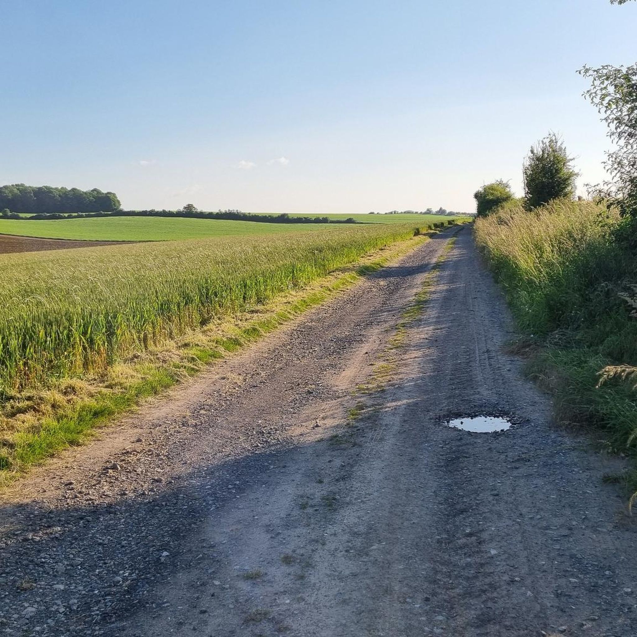
The entire greenway is very well done on gravel. It's a really pleasant path running alongside ponds. It's not as boring as some concrete cycle paths.
1
0

Easy-going path with few people
0
0
Be careful of the current though.
0
0

Beautiful path along the Somme which allows you to enter or leave Amiens without crossing any cars! The landscape is absolutely beautiful, thank you to Philippe for showing me this part of the Amiens region.
0
0

Pleasant and rolling path in almost all conditions.
1
0
Frequently Asked Questions
How many gravel bike trails are available around Grattepanche?
There are over 60 gravel bike routes in the Grattepanche area, offering a variety of options for different skill levels and preferences.
What is the overall difficulty level of gravel biking in Grattepanche?
The routes around Grattepanche primarily feature moderate difficulty, with 46 moderate trails. There are also 3 easy routes and 15 more challenging options for experienced riders.
Are there beginner-friendly gravel bike trails near Grattepanche?
Yes, beginners can enjoy routes like the Lamotte-Brebière lock – Towpath Along the Somme River loop from Longueau. This 29.3-mile route follows the Somme River towpath and is mostly flat, making it a great introduction to gravel biking in the region.
Where can I find more challenging or advanced gravel bike routes?
For a more advanced experience, consider the Lamotte-Brebière lock – Froissy Lock loop from Longueau. This difficult 54.2-mile path explores varied terrain between the Somme River locks, offering a longer and more demanding ride.
Are there long-distance gravel bike routes in the Grattepanche area?
Absolutely. Routes like the Lamotte-Brebière Locks – Somme Path loop from Longueau cover significant distances, stretching over 53 miles through riverine landscapes and open countryside, ideal for longer excursions.
Can I find circular gravel bike routes around Grattepanche?
Yes, many of the gravel bike routes in the region are circular, allowing you to start and end at the same point. An example is the Marsh between the Avre and the Noye – Downhill Chemin Vers Boves loop from Boves, which offers a 45.2-mile loop experience.
What kind of scenery can I expect on gravel bike trails around Grattepanche?
The landscape is defined by the Somme River valley, featuring extensive river towpaths, marshlands, and open agricultural fields. You'll encounter waterways, quiet rural paths, and occasional wooded sections, providing a diverse and peaceful riding environment.
Are there any interesting sights or landmarks along the gravel bike routes?
While riding, you'll often follow the Towpath along the Somme River. Nearby attractions include the Saint-Ladre Pond Nature Reserve, offering natural beauty, and cultural sites like the Jules Verne House and Jules Verne Circus in nearby Amiens.
What do other gravel bikers say about the trails in Grattepanche?
The gravel biking routes around Grattepanche are highly rated by the komoot community, with an average score of 4.7 stars from over 20 reviews. Riders often praise the varied terrain, the peaceful river paths, and the well-maintained surfaces.
Is gravel biking in Grattepanche suitable for families?
Yes, the region offers several routes suitable for families, particularly those along the Somme River towpaths. These are generally flat and provide a safe, enjoyable environment for riders of all ages. Look for the 'easy' or 'moderate' rated trails.
Are there routes accessible by public transport near Grattepanche?
Many routes, especially those starting from Longueau, are conveniently located near train stations, offering good public transport access. This allows for easy connections to start your gravel biking adventure without needing a car.
What is the best time of year for gravel biking in Grattepanche?
Spring and autumn generally offer the most pleasant conditions for gravel biking in Grattepanche, with mild temperatures and beautiful scenery. Summer can also be enjoyable, but be prepared for warmer weather. Winter riding is possible, but some paths may be muddy or wet.
Most popular routes around Grattepanche
Most popular attractions around Grattepanche

Get inspired with the komoot mobile app


Explore more
Browse the best Gravel rides in other regions.
