The best gravel rides around Laneuvelotte
4.1
(35)
162
riders
68
rides
Gravel biking around Laneuvelotte features a landscape characterized by river valleys, such as those near the Meurthe and Moselle, and elevated plateaus like the Malzéville high plateau. The region offers a mix of terrain suitable for gravel cycling, from paths alongside waterways to routes traversing higher ground. These trails often connect smaller towns and rural areas, providing diverse riding experiences. The area's topography includes ascents and descents, making it accessible for various skill levels.
Best gravel bike trails around Laneuvelotte
…Last updated: July 3, 2026
13
riders
68.2km
05:29
1,060m
1,060m
Hard gravel ride. Very good fitness required. Mostly paved surfaces. Suitable for all skill levels.
5.0
(5)
11
riders
41.2km
02:19
260m
260m
Hard gravel ride. Good fitness required. You may need to push your bike for some segments of this route.

Sign up for free
3.7
(3)
16
riders
43.8km
02:33
340m
340m
Moderate gravel ride. Good fitness required. Mostly paved surfaces. Suitable for all skill levels.
4.1
(7)
18
riders
45.7km
02:26
260m
260m
Moderate gravel ride. Good fitness required. Mostly paved surfaces. Suitable for all skill levels.
4.5
(2)
8
riders
33.6km
02:37
460m
460m
Hard gravel ride. Very good fitness required. Mostly paved surfaces. Suitable for all skill levels.
Get access to more routes and recommendations from other explorers.
Sign up for free
Already have an account?
Our route recommendations are based on thousands of hikes, rides, and runs completed by other people on komoot.
Start today with a free account
Your next adventure awaits.
Login or Signup



Tips from the Community


The church was designed as a three-aisled basilica on a Latin cross plan. The neo-Gothic basilica is of considerable size: the tower above the entrance rises to a height of 87 meters for a building 100 meters long. The nave is 84 meters long and has a vault height of 24 meters.
0
0

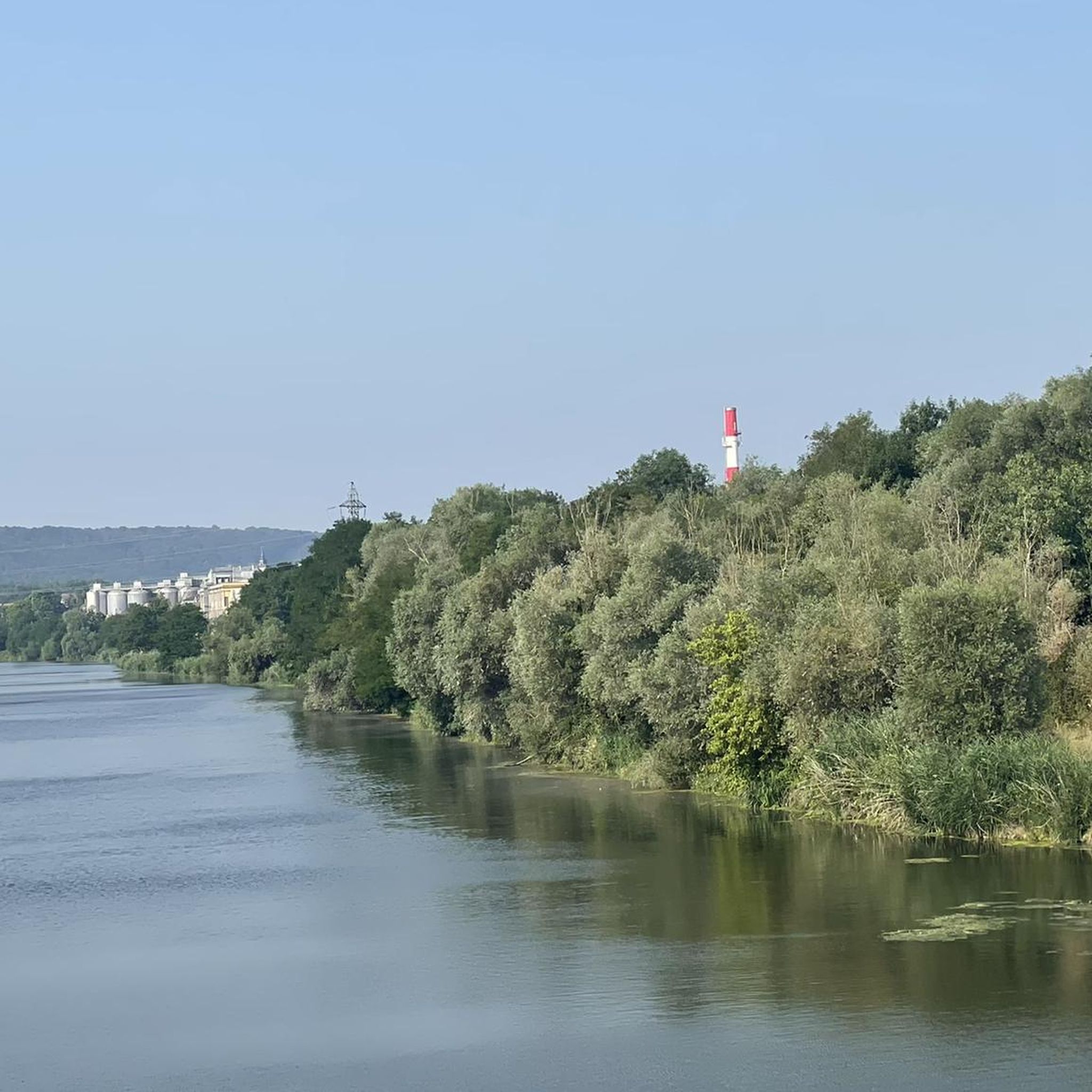
Beautiful path in the shade with a view of the water
0
0

It is almost unbelievable that the church was only rebuilt in the 19th century as a copy of the Gothic architectural style with donations from half of Europe on the site of a burnt down church.
0
0

Numerous paths, viewpoints, and the activities of the flying club, the observation of which can spice up the walk
0
0
This old road, which already appears on the Cassini map (1760), is part of a network of rolling paths which allow you to cross the Bois de Faux plateau and reach all the villages.
0
0

Very beautiful village with a huge tree in front of the church and a great view over the countryside.
1
0
Frequently Asked Questions
How many gravel bike trails are available around Laneuvelotte?
There are over 90 gravel bike routes documented around Laneuvelotte on komoot. These routes offer a diverse range of experiences, from leisurely rides along river valleys to more challenging ascents on elevated plateaus.
What is the general difficulty level of gravel biking routes in Laneuvelotte?
The gravel biking routes around Laneuvelotte cater to a wide range of abilities. While there are 64 moderate routes and 31 difficult routes, there is also one easy route available, ensuring options for various skill levels. The terrain often includes gentle ascents and descents.
Are there any circular gravel routes near Laneuvelotte?
Yes, many of the gravel routes in the area are circular, allowing you to start and finish at the same point. For example, the View of Château Corbin – Aingeray Lock loop from Champigneulles is a popular circular option, as is the Plateau de Malzéville – Plateau de Malzéville loop from Eulmont.
What are some good gravel trails for beginners in Laneuvelotte?
While most routes are moderate to difficult, the region's topography with gentle ascents and descents makes some sections accessible. For a less strenuous experience, look for routes that stick closer to the river valleys. The Place Vaudémont – Pépinière Park loop from Nancy, for instance, has a relatively low elevation gain, making it a good starting point.
Are there any family-friendly gravel biking options in the Laneuvelotte area?
For families, routes with less elevation gain and away from heavy traffic are ideal. Consider paths that follow the riverbanks, which tend to be flatter and more scenic. While specific 'family-friendly' designations aren't always available, routes like the Place Vaudémont – Pépinière Park loop from Nancy offer a more manageable distance and elevation profile.
What kind of terrain can I expect on gravel bike trails in Laneuvelotte?
You can expect a varied landscape, characterized by river valleys, particularly near the Moselle, and elevated plateaus. The trails offer a mix of surfaces, from paths alongside waterways to routes traversing higher ground, often connecting smaller towns and rural areas.
What do other gravel bikers enjoy most about gravel biking in Laneuvelotte?
The area is highly rated by the komoot community, with an average score of 4.2 stars from over 60 reviews. Riders often praise the diverse terrain, the scenic views of the Moselle, and the well-connected routes that allow for exploration between towns and natural landscapes.
Are there any longer, more challenging gravel routes for experienced riders?
Absolutely. For experienced gravel bikers seeking a challenge, routes like The town overlooking the Moselle – Avenue by the water loop from Champigneulles offer a substantial distance of 58.2 miles (93.7 km) and significant elevation gain, often taking over 8 hours to complete. Another challenging option is the Stanislas Square – Place Vaudémont loop from Nancy.
What are the typical lengths of gravel bike trails around Laneuvelotte?
The lengths of gravel bike trails vary significantly. You can find shorter routes, such as the Plateau de Malzéville – Plateau de Malzéville loop from Eulmont at 17.5 miles (28.1 km), up to much longer excursions like The town overlooking the Moselle – Avenue by the water loop from Champigneulles, which spans 58.2 miles (93.7 km).
Are there any notable landmarks or views along the gravel routes?
Yes, several routes offer scenic views and pass by interesting points. For instance, the View of Château Corbin – Aingeray Lock loop from Champigneulles provides views of Château Corbin and follows the Aingeray Lock. Other routes offer vistas overlooking the Moselle river and connect through charming local towns.
What is the best time of year for gravel biking in Laneuvelotte?
The region is generally pleasant for gravel biking from spring through autumn. During these seasons, the weather is typically mild, and the natural landscapes are at their most vibrant. Winter conditions can bring colder temperatures and potentially wet or icy trails, so it's advisable to check local forecasts and trail conditions if planning a ride during those months.
Most popular routes around Laneuvelotte
Most popular attractions around Laneuvelotte

Get inspired with the komoot mobile app


Explore more
Browse the best Gravel rides in other regions.
