The best gravel rides around Longlaville
4.6
(16)
215
riders
41
rides
Gravel biking around Longlaville offers a diverse landscape characterized by rolling hills, dense forests, and established cycle paths. The region features a mix of natural terrain, including forested singletracks and scenic ridges, alongside well-maintained routes like the Attert Cycle Path. This combination provides varied surfaces suitable for gravel cyclists seeking both challenging climbs and smoother sections.
Best gravel bike trails around Longlaville
- The most popular gravel bike trail is Forest Singletrack Trail – Singletrack Trail on the Ridge loop from…
Last updated: July 3, 2026
4.7
(9)
53
riders
39.0km
03:13
520m
520m
Hard gravel ride. Very good fitness required. Mostly paved surfaces. Suitable for all skill levels.
5.0
(1)
47
riders
74.1km
04:40
830m
830m
Hard gravel ride. Very good fitness required. You may need to push your bike for some segments of this route.

Sign up for free
3.0
(1)
9
riders
Hard gravel ride. Very good fitness required. Mostly paved surfaces. Suitable for all skill levels.
7
riders
Hard gravel ride. Very good fitness required. Mostly paved surfaces. Suitable for all skill levels.
5.0
(1)
12
riders
55.9km
03:33
640m
640m
Hard gravel ride. Very good fitness required. Mostly paved surfaces. Suitable for all skill levels.
Get access to more routes and recommendations from other explorers.
Sign up for free
Already have an account?
Our route recommendations are based on thousands of hikes, rides, and runs completed by other people on komoot.
Start today with a free account
Your next adventure awaits.
Login or Signup
Tips from the Community

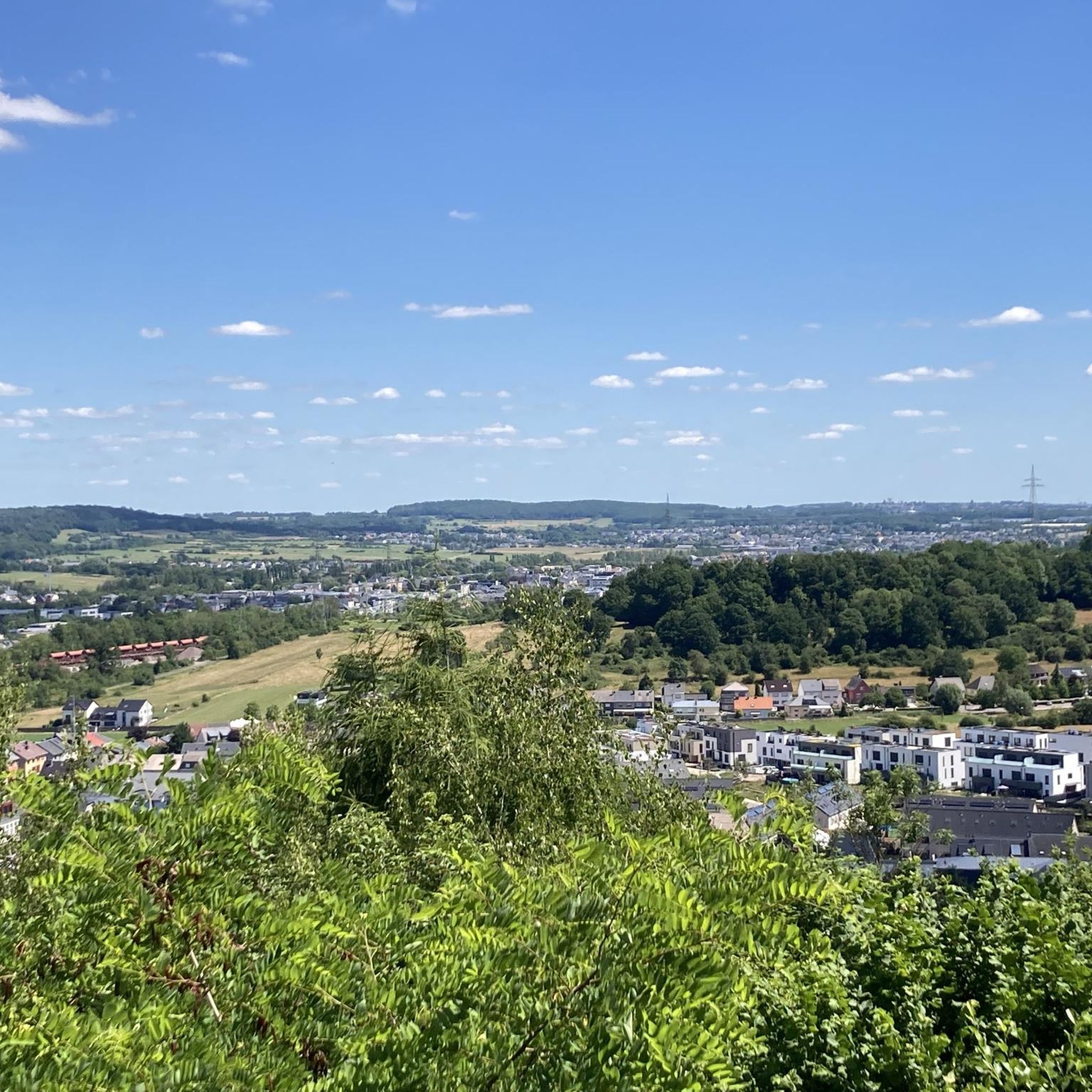
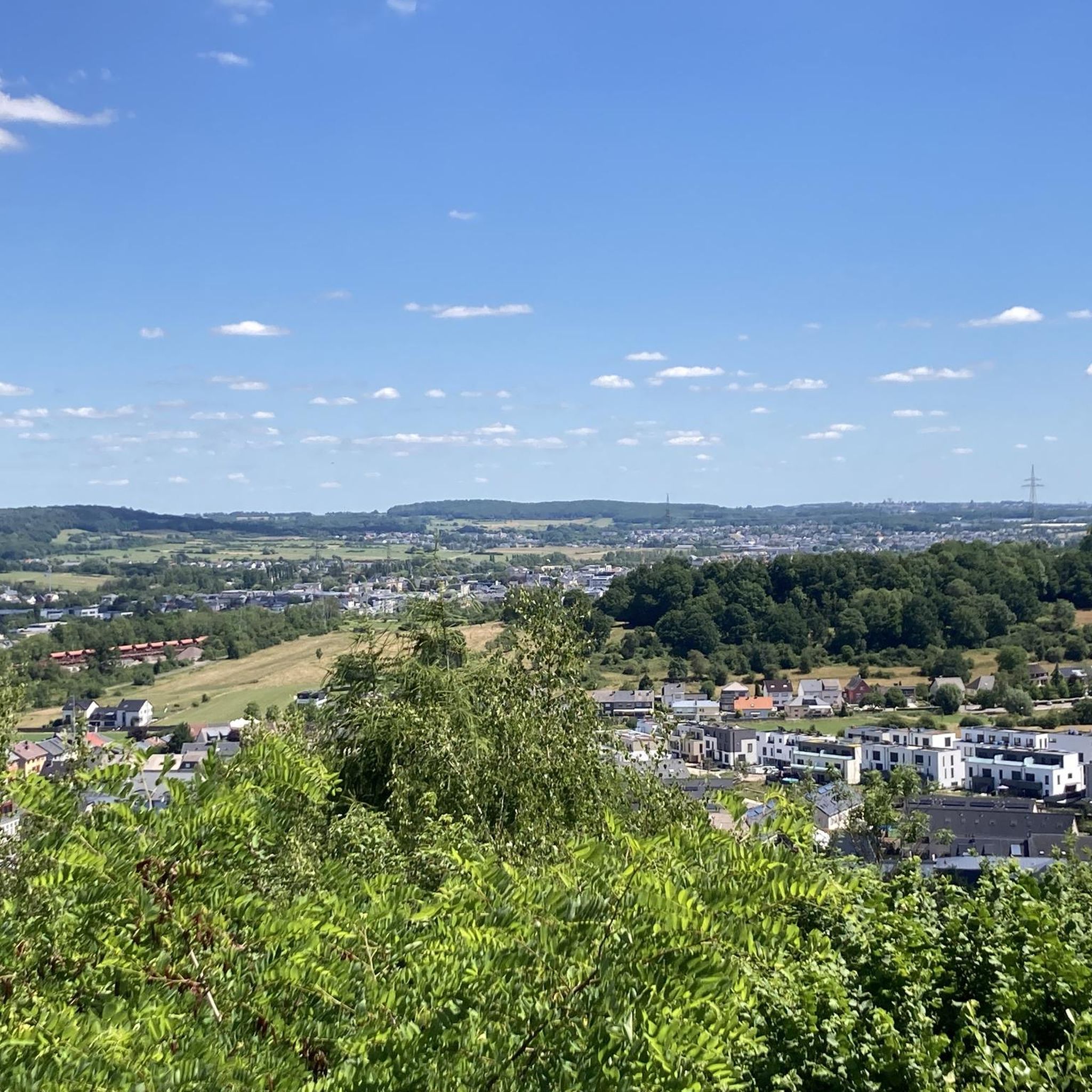
Super, small viewpoint above the river
0
0
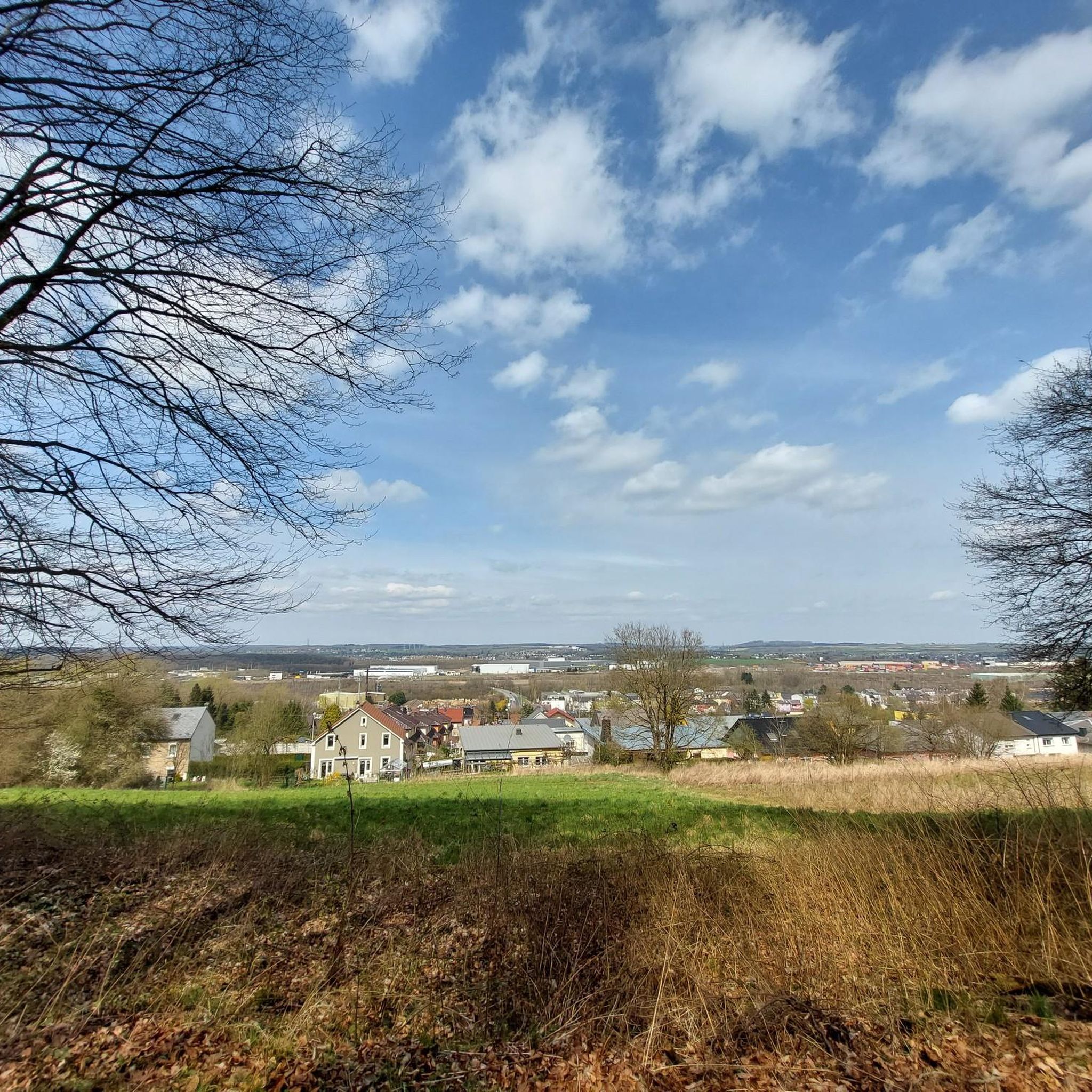
Chapel near the summit of Kirchberg
0
0
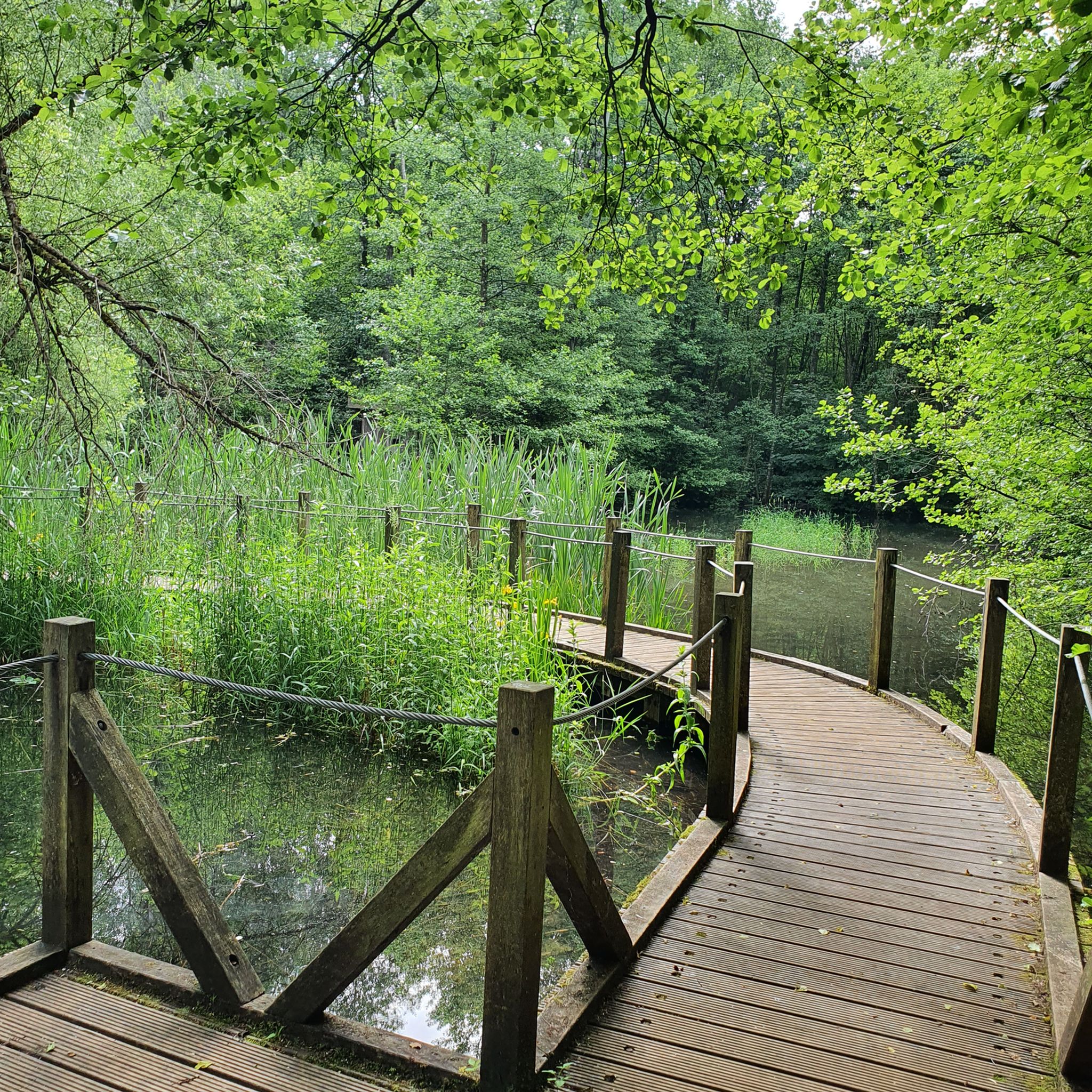
Beautiful lake, for walking, cycling, fishing
0
0

A truly peaceful place to unwind. Also suitable as a picnic spot.
0
0

The Trench of Gates: Gateway to Gaume, Gateway to Legends 1. What is it? Physical Description The Trench of Gates is a deep and spectacular rocky gorge, naturally carved by the Vire River (a tributary of the Semois) into the sandstone plateau of the Gaume forest. Located in the village of Dampicourt (commune of Rouvroy), on the French border, it forms a narrow and winding notch, framed by high sandstone walls and strangely shaped rocks. Its name comes from its topography: the site gives the impression of crossing several successive natural "gates." 2. A Strategic Position: Military History The true fame of the Trench of Gates comes from its historical role as a natural fortress and strategic border post. A Gallic Stronghold? : Its easily defensible configuration suggests that it was used as a refuge since the Gallic era. The Roman Fort: Its strategic role became evident during the Roman era. The Romans established a castellum (a fortified camp) there to control the passage between Belgic Gaul and Imperial Trier, and to protect the nearby Roman road. Remains of these fortifications were still visible several centuries ago. A Millennial Challenge: Due to its position on the border, the site has been contested and fortified throughout history, from the Middle Ages to modern wars. It offered an ideal control point over one of the few passable passages through the region's wooded terrain.
1
0

Nice park to start a walk in peace
1
0
Frequently Asked Questions
How many gravel bike trails are available around Longlaville?
There are nearly 50 gravel bike trails around Longlaville, offering a wide range of options for different skill levels and preferences. The region is known for its diverse landscape, including rolling hills and dense forests.
Are there any beginner-friendly gravel bike routes in the Longlaville area?
While many routes around Longlaville are rated moderate to difficult, there are options that can be suitable for beginners looking for a challenge. For instance, the Giele Botter Nature Reserve – Giele Botter Nature Reserve loop from Pétange is a moderate 13.5-mile (21.8 km) route that offers a good introduction to the region's terrain.
What kind of terrain can I expect on gravel bike trails near Longlaville?
Gravel biking around Longlaville features a diverse mix of terrain. You'll encounter forested singletracks, scenic ridges, and well-maintained dedicated cycle paths like the Attert Cycle Path. The region's landscape includes rolling hills and dense forests, providing both challenging climbs and smoother sections.
Are there any long-distance gravel bike routes around Longlaville?
Yes, for those seeking longer rides, the Brasserie At the Station, Clemency – Attert Cycle Path (PC 12) loop from Aubange is a challenging 44.8-mile (72.1 km) route that follows a dedicated cycle path, offering a mix of open and shaded sections. Another option is the Bridge Over the Messancy – Scenic Concrete Cycle Path loop from Halanzy, which covers 34.6 miles (55.8 km).
What are some scenic viewpoints or natural attractions along the gravel trails?
Many routes offer scenic views, such as the View of Oberkorn – Singletrack Trail on the Ridge loop from Differdange, which provides views towards Oberkorn. You can also explore natural highlights like the Giele Botter Nature Reserve, the Moulaine Valley Stream, or the La Cussignière Marsh, which are accessible from various trails.
Are there any loop gravel trails in the Longlaville region?
Most of the gravel bike routes around Longlaville are designed as loops, allowing you to start and end at the same point. Examples include the Forest Singletrack Trail – Singletrack Trail on the Ridge loop from Doihl and the Giele Botter Nature Reserve – Giele Botter Nature Reserve loop from Pétange, providing convenient circular journeys.
What is the best time of year for gravel biking around Longlaville?
The region's diverse terrain, including forested sections, makes spring and autumn particularly appealing for gravel biking. In spring, you'll enjoy fresh greenery, while autumn offers vibrant foliage. Summer can also be pleasant, especially on shaded routes, but always check local weather conditions before heading out.
What do other gravel bikers say about the trails in Longlaville?
The gravel biking routes around Longlaville are highly rated by the komoot community, with an average score of 4.7 stars from over 15 reviews. Many visitors praise the varied terrain, from challenging singletracks to well-maintained cycle paths, and the beautiful natural surroundings.
Are there any historical sites or landmarks to explore while gravel biking?
Yes, the area offers several points of interest. You can find historical sites such as the Halanzy Iron Mine Ruins or the Ruins of the Titelberg Oppidum. Additionally, the impressive Sanem Castle is also within reach from some routes, offering a glimpse into the region's past.
What should I pack for a gravel biking trip in Longlaville?
Given the varied terrain and potential for both challenging climbs and forested sections, it's advisable to pack essentials like a repair kit, sufficient water, and snacks. Depending on the season, layers of clothing are recommended, and always carry a map or GPS device, such as the komoot app, for navigation.
Are there options for advanced gravel cyclists seeking a challenge?
Absolutely. The Longlaville area has 28 routes rated as 'difficult,' offering significant challenges for experienced riders. These routes often feature substantial elevation gains and technical sections, such as the Forest Singletrack Trail – Singletrack Trail on the Ridge loop from Doihl, which includes forested singletracks and ridge views over 24.2 miles (39.0 km).
Most popular routes around Longlaville
Most popular attractions around Longlaville

Get inspired with the komoot mobile app


Explore more
Browse the best Gravel rides in other regions.
