The best gravel rides around Moutiers
5.0
(1)
37
riders
10
rides
Gravel biking around Moutiers offers diverse terrain within the Tarentaise Valley in the Savoie region of France. The area is characterized by its mountainous environment, serving as a gateway to alpine passes and the Vanoise National Park. Gravel bike trails often feature forest paths, winding roads through valleys, and varied elevations suitable for different skill levels. The landscape provides a mix of challenging climbs and scenic routes.
Best gravel bike trails around Moutiers
- The most popular gravel bike trail is…
Last updated: July 2, 2026
4
riders
73.5km
05:56
1,150m
1,150m
Hard gravel ride. Very good fitness required. Mostly paved surfaces. Suitable for all skill levels.
5.0
(1)
10
riders
42.7km
02:48
400m
400m
Moderate gravel ride. Good fitness required. Mostly paved surfaces. Suitable for all skill levels.

Sign up for free
4
riders
60.7km
03:54
570m
570m
Hard gravel ride. Very good fitness required. Mostly paved surfaces. Suitable for all skill levels.
6
riders
34.0km
02:17
410m
410m
Moderate gravel ride. Good fitness required. Mostly paved surfaces. Suitable for all skill levels.
10
riders
30.2km
01:59
150m
150m
Easy gravel ride. Great for any fitness level. Mostly paved surfaces. Suitable for all skill levels.
Get access to more routes and recommendations from other explorers.
Sign up for free
Already have an account?
Our route recommendations are based on thousands of hikes, rides, and runs completed by other people on komoot.
Start today with a free account
Your next adventure awaits.
Login or Signup


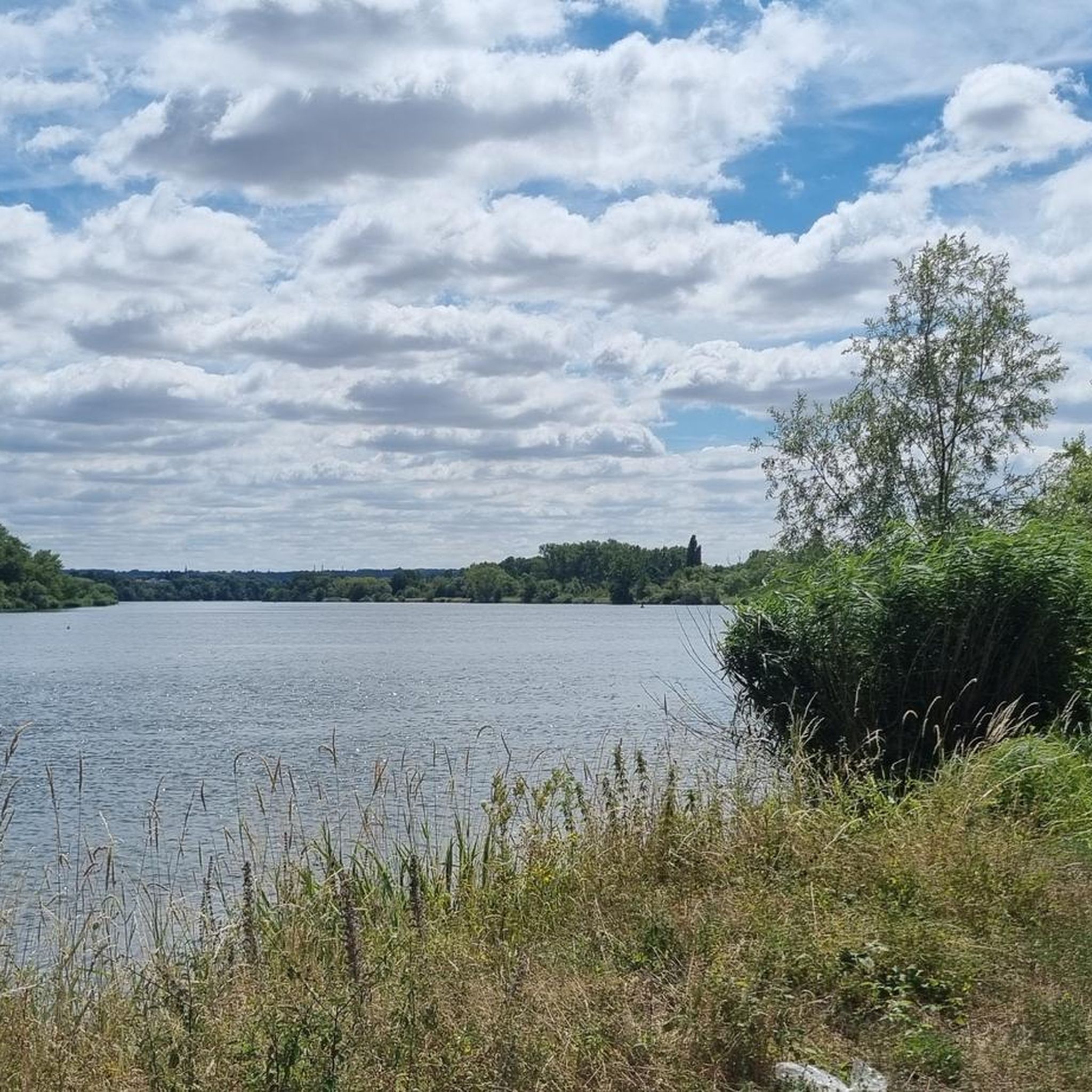
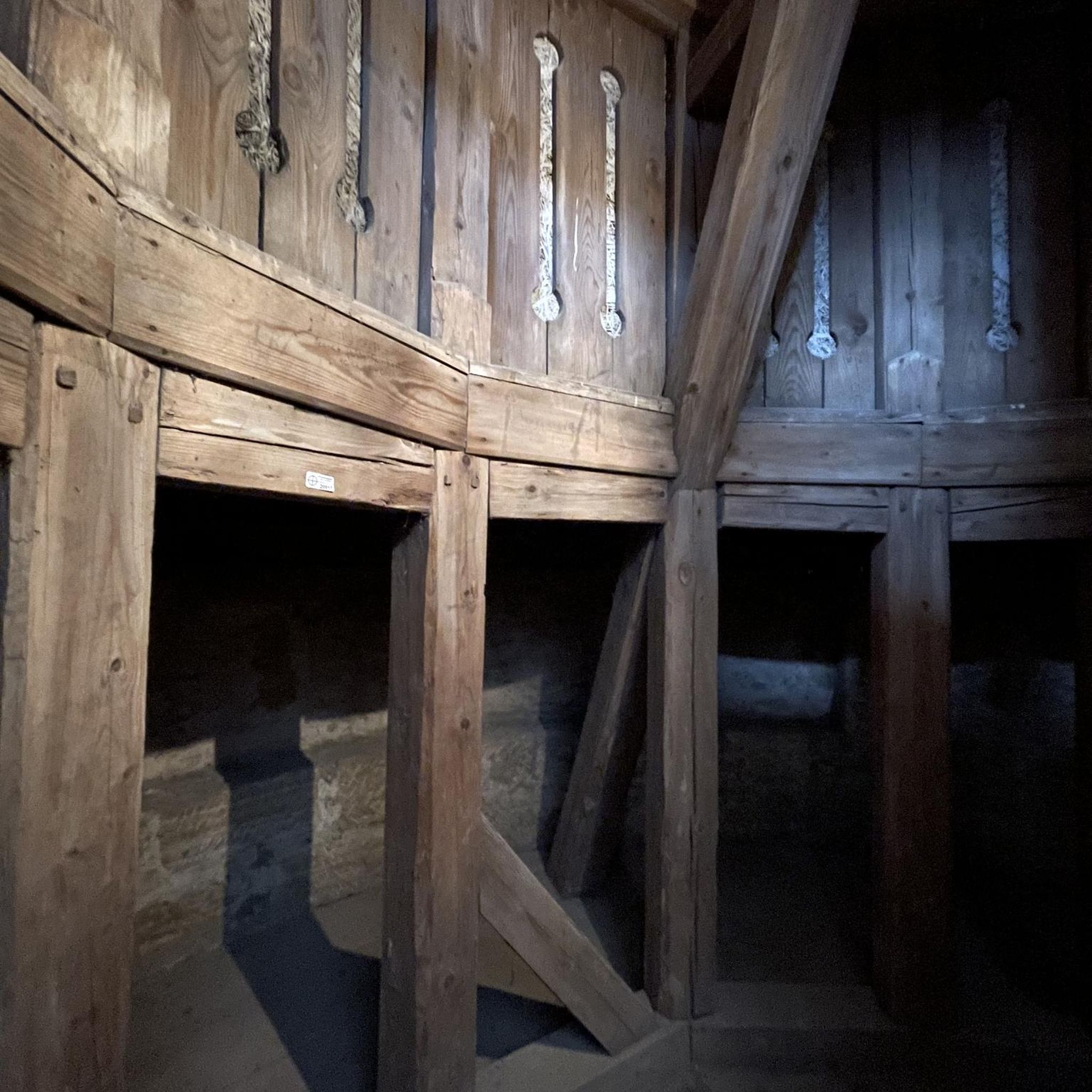
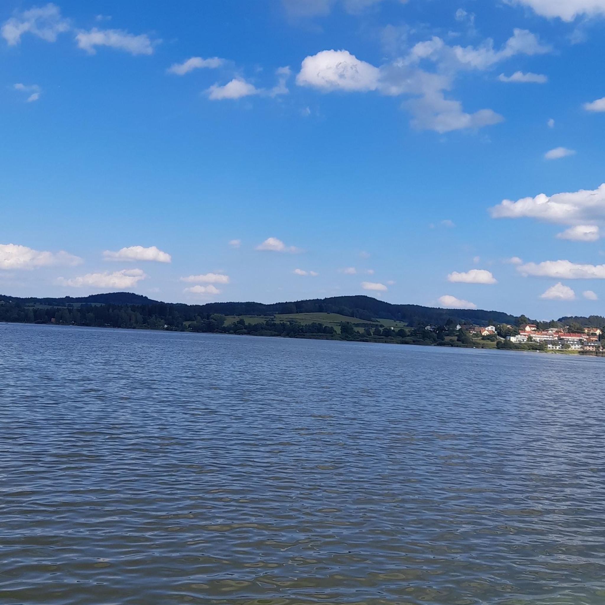
Tips from the Community

The Orne is a beautiful river
0
0

An interesting site, especially thanks to the various information panels. The climb through the woods (more pleasant than the road, which is closed to traffic anyway) is enjoyable. However, it might seem a bit steep for those who aren't in good shape. There's a beautiful viewpoint at the top, and numerous trails allow you to extend the walk. The starting car park fills up quite quickly, but it's perfectly possible to park in the village, which is what we did. A sunny day is definitely preferable!
0
0

Fort Plappeville, renamed Fort Alvensleben in 1872, is a military installation northwest of Metz. It is part of the first fortified belt of Metz, built during the Second Empire by Napoleon III. The first fortified belt of Metz consists of the forts Saint-Privat (1870), Queleu (1867), Bordes (1870), Saint-Julien (1867), Gambetta, Déroulède, Decaen, Plappeville (1867), and Saint-Quentin (1867). Most of them were still unfinished in 1870, when the Franco-Prussian War broke out.
0
0

with family
0
0

You're absolutely right – the tower in the picture is clearly made of metal, not wood. Thanks for pointing that out. Here's the corrected version: --- 🗼 Observation tower near Pierrevillers – A steel view Rising in the middle of the forest near Pierrevillers, a metal observation tower, with its open structure, offers a panoramic view of the Moselle Valley, the surrounding hills, and, on a clear day, even as far as Luxembourg. 🔩 The solid steel structure is accessible via several platforms and stairs and, despite its height, appears delicately embedded in the natural surroundings. **Tip:** Ideal in good weather – the view from the top is worth every climb and is perfect for a quiet moment or impressive photos.
1
1

Peaceful place, fully adapted for a picnic stop, 2 tables available
0
0

A very nice place surrounded by nice singles.
1
0
Frequently Asked Questions
How many gravel bike trails are available around Moutiers?
There are over 10 gravel bike routes documented around Moutiers, offering a variety of experiences for different skill levels. These include easy, moderate, and difficult options.
What are the difficulty levels of gravel biking routes in Moutiers?
The routes around Moutiers cater to various skill levels. You'll find 2 easy trails, 7 moderate trails, and 2 difficult trails, ensuring options for beginners and experienced riders alike.
Are there any easy gravel bike trails suitable for beginners?
Yes, beginners can enjoy routes like the Gravel loop from Hatrize. This easy trail covers 14.8 miles (23.8 km) and takes approximately 2 hours to complete, offering a gentle introduction to gravel biking in the area.
Can I find challenging gravel bike routes with significant elevation around Moutiers?
For those seeking a challenge, routes like The Battle Beech – Blocaus plappeville loop from Rombas - Clouange offer significant elevation gain. This difficult 45.9 miles (73.8 km) path includes over 1,100 meters of ascent through varied landscapes.
Are there circular gravel bike routes around Moutiers?
Yes, all the featured gravel bike routes around Moutiers are designed as loops, allowing you to start and finish at the same point. For example, the Quite a strange gateway – Orne River loop from Hatrize is a popular circular option.
What kind of terrain can I expect on gravel bike trails in Moutiers?
The terrain around Moutiers is diverse, featuring rolling tracks, small roads, and farm tracks. You can expect a mix of forest paths, winding roads through valleys, and varied elevations. Some routes, like the Orne River – PLEASANT, SHADY PATH loop from Rombas, offer pleasant, shaded paths.
What do other gravel bikers say about the trails in Moutiers?
The gravel biking routes in Moutiers are highly rated by the komoot community, with an average score of 4.8 stars from several reviews. Over 50 gravel bikers have used komoot to explore the varied terrain, often praising the diverse landscapes and well-maintained paths.
Are there any interesting landmarks or viewpoints along the gravel bike trails?
Yes, you can discover several points of interest. For example, you might encounter the Tour de Drince Observation Tower, offering scenic views, or the historic Church of Mance. Other natural features include the Plan d'Eau de la Sangsue and Tivoli Pond.
How long do gravel bike trails near Moutiers typically take to complete?
The duration varies depending on the route and your pace. Shorter, easier trails like the Gravel loop from Hatrize can be completed in about 2 hours. Longer, more challenging routes, such as The Battle Beech – Blocaus plappeville loop from Rombas - Clouange, may take over 6 hours.
Is there public transport access to the gravel biking trails in Moutiers?
While specific public transport links directly to trailheads can vary, Moutiers itself is a transport hub. For detailed information on local bus or train services that might connect to specific starting points, it's best to check regional transport schedules.
Where can I park my car when gravel biking in Moutiers?
Parking availability can depend on the specific trailhead. Many routes start from towns or villages like Hatrize or Rombas, where public parking is generally available. It's advisable to check local parking options for your chosen starting point.
Are there any less crowded gravel trails around Moutiers?
While specific crowd levels can fluctuate, exploring some of the less popular moderate or difficult routes might offer a more secluded experience. The region generally provides ample space, especially on longer trails that venture deeper into the varied landscapes.
Most popular attractions around Moutiers

Get inspired with the komoot mobile app


Explore more
Browse the best Gravel rides in other regions.
