The best gravel rides around Lusanger
4.3
(5)
21
riders
3
rides
Gravel biking around Lusanger offers routes that traverse a landscape characterized by greenways, river valleys, and rural paths. The region features a mix of flat sections along converted railway lines and gently rolling terrain, providing varied experiences for gravel cyclists. Expect to encounter agricultural areas, small woodlands, and water features like the Vilaine River. The trails are generally well-suited for gravel bikes, connecting villages and natural areas.
Best gravel bike trails around Lusanger
- The most popular gravel bike trail is…
Last updated: July 2, 2026
3.5
(4)
15
riders
50.9km
03:10
340m
340m
Moderate gravel ride. Good fitness required. Mostly paved surfaces. Suitable for all skill levels.
1
riders
57.0km
03:18
340m
340m
Moderate gravel ride. Good fitness required. Mostly paved surfaces. Suitable for all skill levels.

Sign up for free
4
riders
156km
08:22
710m
710m
Hard gravel ride. Very good fitness required. You may need to push your bike for some segments of this route.
5.0
(1)
1
riders
Easy gravel ride. Great for any fitness level. Mostly paved surfaces. Suitable for all skill levels.
Our route recommendations are based on thousands of hikes, rides, and runs completed by other people on komoot.
Start today with a free account
Your next adventure awaits.
Login or Signup



Tips from the Community

Hello, your Point of Interest • 10 km cycle path from Rougé to Châteaubriant (48°16'19.6"N 1°39'50.1"W) is not located correctly on the map. Here are the correct coordinates: 47°46'48.7"N 1°27'11.3"W. Sincerely
0
0

This former watermill, documented as early as 1089, was initially used as a fulling mill before being converted into a flour mill in the 19th century. Its operation ceased on December 31, 1974. Since then, the building has stood as a significant heritage landmark, marking the industrial and riverine history of the Vilaine Valley.
0
0

In 832, Conuvoion, a Breton monk, founded the Abbey of Saint-Sauveur in Redon with the support of the Carolingian Emperor Louis the Pious. A small rural community slowly grew up around the abbey. During the Middle Ages, the town benefited from its location on the Vilaine River, as trade goods could be transported upstream to Redon on ocean-going vessels. There, the goods were transshipped and transported further on inland waterway barges towards Rennes, the capital of Brittany. In the 19th century, Redon experienced another period of prosperity with the construction of the Nantes-Brest Canal. Even today, the old shipowners' houses and the large harbor basin bear witness to its history as a trading port.
1
0

Very pretty, relaxing. Possibility of refueling by bike.
0
0

Redon has managed to retain its quiet, small-town character, despite its intense activity (and traffic). Following the floods of 2024, the campsite is closed. The pedestrian street is pleasant and not overcrowded with shops. Just what you need. A visit to the port is also a pleasant experience.
0
0

A "treidelpfad" (towpath) that runs alongside the river or canal's bed was an essential part of the transport infrastructure in earlier times. Before ships could be powered by motors, horses walked along the bank, pulling the boat against the current. This was called "treideln" (towing), and this is how the towpaths got their name, which has been passed down to this day. Where these paths, located directly along the bank, have been preserved, they are popular with hikers and cyclists.
0
0


It is a fairly active port on the Nantes-Brest Canal, with a capacity for up to 30 pleasure craft and 3 barges. Bars, restaurants, and public restrooms are available.
2
0
Frequently Asked Questions
How many gravel bike trails are available in the Lusanger region?
There are over 3 gravel bike routes documented on komoot for the Lusanger area, offering a variety of experiences for different skill levels.
What do other gravel bikers say about the trails around Lusanger?
The gravel bike routes in Lusanger are highly rated by the komoot community, with an average score of 4.25 stars from over 5 reviews. Users often praise the varied terrain, from greenways to river valleys, and the well-suited paths for gravel bikes.
Are there easy gravel bike routes suitable for beginners or families in Lusanger?
Yes, for beginners and families, the Les Forges de la Hunaudière – La Hunaudière Pond loop from La Chapelle is an excellent choice. This easy 7.0-mile (11.3 km) trail circles a pond and passes through pleasant forested areas, making it a great introduction to gravel biking in the region.
What are some longer or more challenging gravel bike routes near Lusanger?
For those seeking a longer and more challenging ride, the Guipry-Messac Mill – Vilaine River loop from Pierric is a difficult 96.7-mile (155.7 km) trail. It leads through the scenic Vilaine River valley and typically takes over 10 hours to complete, offering a significant endurance test.
Are there any moderate-difficulty gravel bike trails in the area?
Yes, a popular moderate option is the Bain-Châteaubriant greenway – Voie Verte Gravel Path loop from Ruffigné. This 31.7-mile (51.1 km) route follows a converted railway line, providing a smooth gravel surface through the countryside, ideal for a day trip.
Are there circular gravel bike routes near Lusanger?
Many of the gravel bike routes in the Lusanger area are designed as loops. For example, the Pont de la Noë – Bain-Châteaubriant greenway loop from La Dominelais is a moderate 35.2-mile (56.7 km) circular route that allows you to start and finish at the same point.
What kind of terrain can I expect on gravel bike trails around Lusanger?
The terrain around Lusanger is characterized by greenways, river valleys, and rural paths. You'll find a mix of flat sections along converted railway lines and gently rolling terrain. Expect to ride through agricultural areas, small woodlands, and alongside water features like the Vilaine River.
What are some interesting landmarks or attractions I can see near the gravel bike trails?
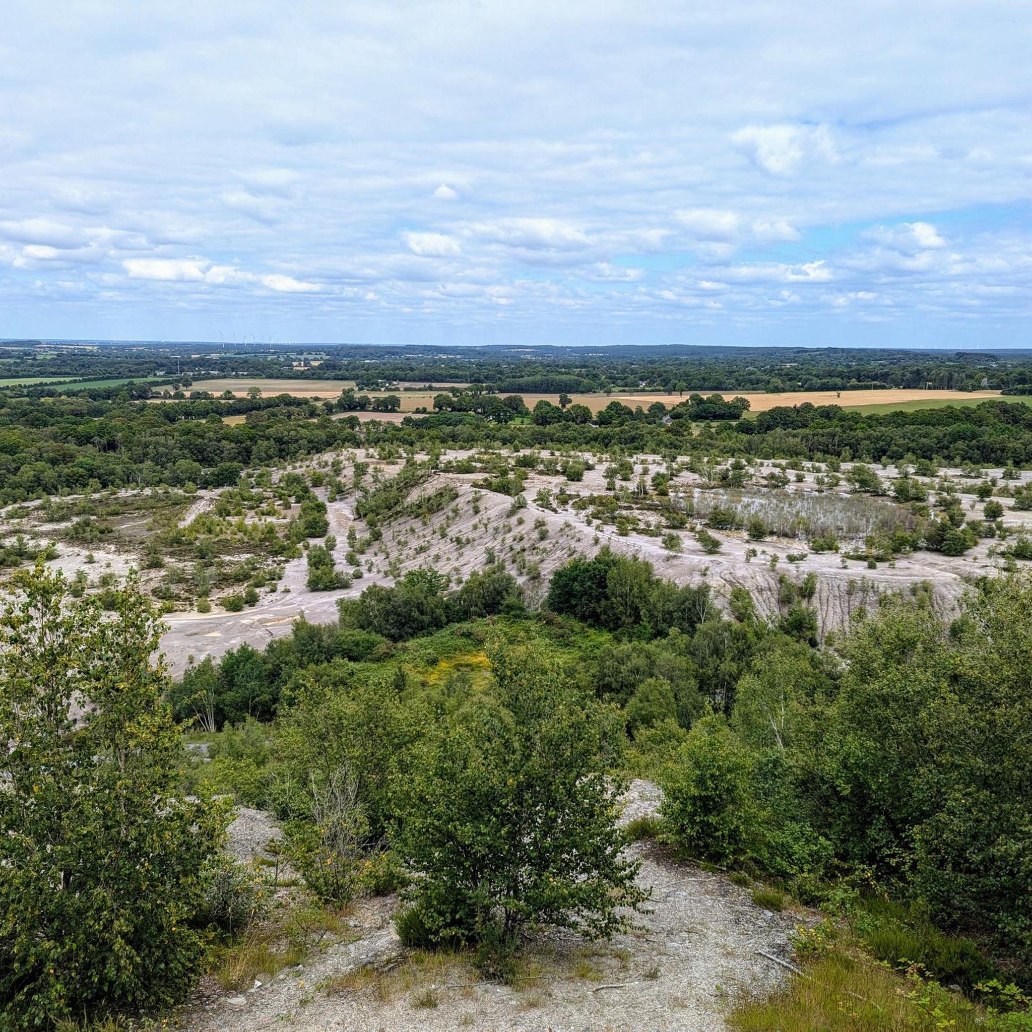
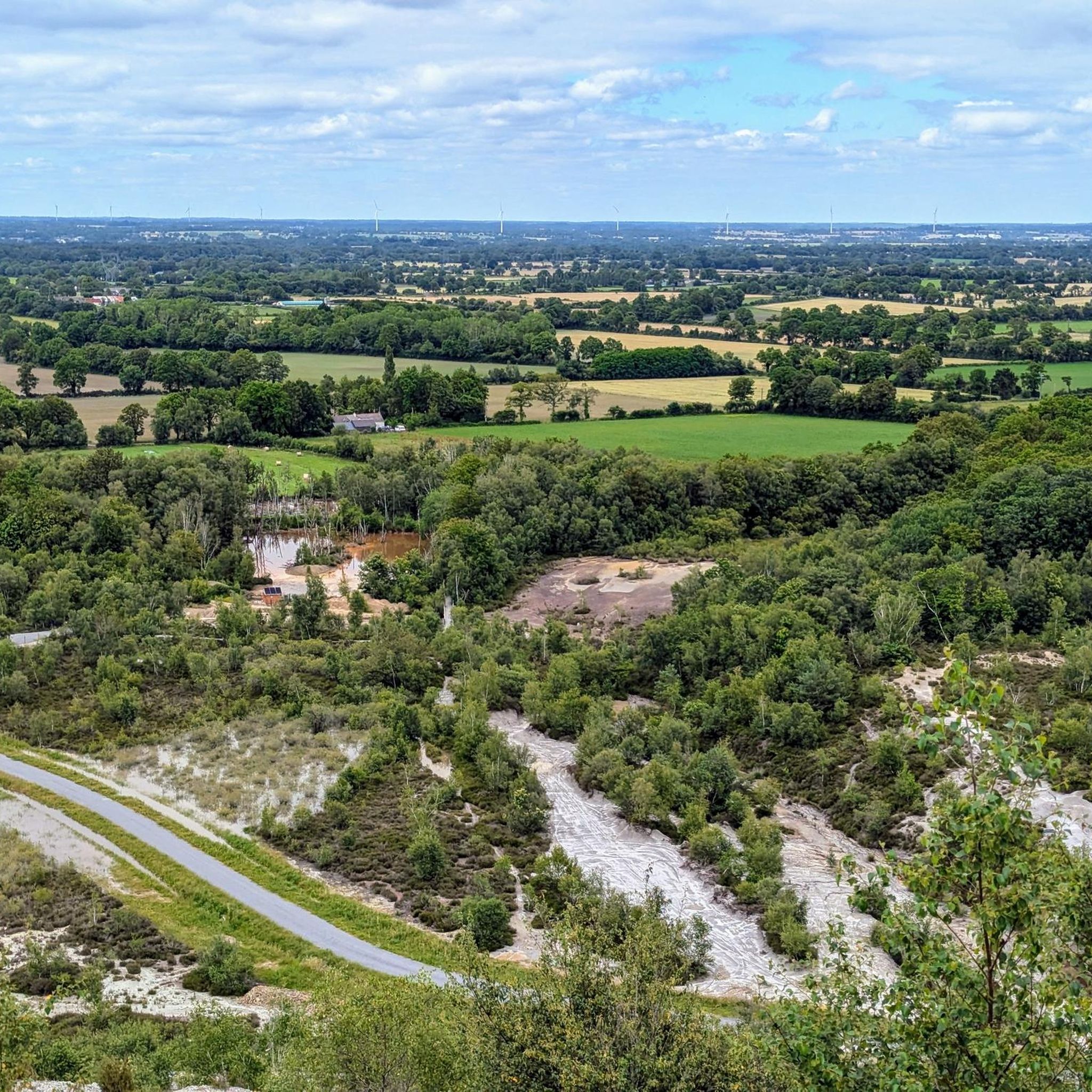
While exploring the gravel trails, you might encounter several points of interest. Near some routes, you can find the historical The Slag Heap, the serene Mine Lake, or the Saint-Pierre and Saint-Paul Church. The Abbaretz lagoon is also a notable natural feature in the wider area.
When is the best time of year for gravel biking in Lusanger?
Gravel biking in Lusanger is enjoyable for much of the year. Spring and autumn offer pleasant temperatures and vibrant scenery. Summer is also suitable, though it can be warmer. The greenways and rural paths are generally accessible, but it's always good to check local conditions, especially after heavy rain, as some unpaved sections might be muddy.
Are there any cafes or places to stop for refreshments along the gravel bike trails in Lusanger?
While specific cafes are not listed directly on every route, many trails connect villages and small towns where you can typically find local establishments for refreshments. Planning your route with komoot allows you to see points of interest and potential stops along the way.
Is public transport available to access gravel bike trails near Lusanger?
Access to trailheads via public transport can vary. While Lusanger itself is a rural area, some larger towns connected by greenways, like Bain-de-Bretagne or Châteaubriant, may have regional bus services. It's advisable to check local public transport schedules and bike carriage policies for specific routes.
Where can I find parking for gravel biking in Lusanger?
Many of the gravel bike routes start from villages or towns where public parking is generally available. For example, routes starting from La Chapelle, Ruffigné, or Pierric would typically have parking options within or near these communities. Always look for designated parking areas to ensure convenience and respect for local residents.
Most popular attractions around Lusanger

Get inspired with the komoot mobile app


Explore more
Browse the best Gravel rides in other regions.
