The best gravel rides around Challes-Les-Eaux
4.0
(5)
54
riders
13
rides
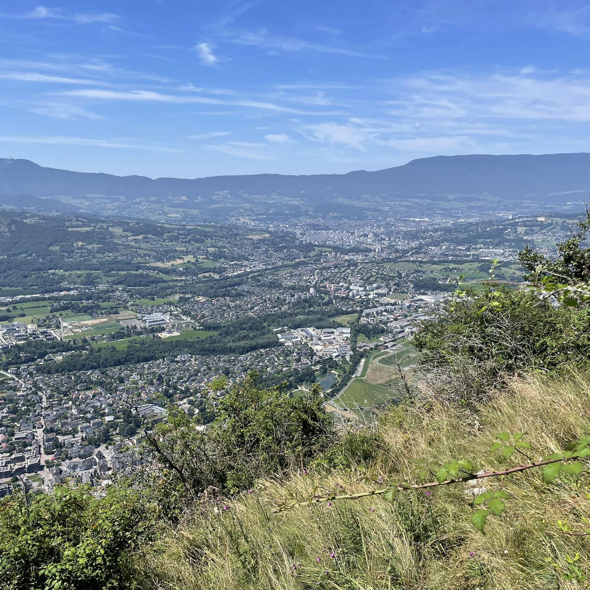
Gravel biking around Challes-Les-Eaux offers diverse landscapes characterized by mountain passes, valleys, and proximity to large lakes. The region is situated between the Massif des Bauges and the Massif de la Chartreuse, providing mountainous terrain with varied elevation. Gravel routes often combine paved and unpaved sections, including ascents towards passes like Col du Granier and Col du Marocaz. The area features waterways, wetlands, and vineyards, offering a mix of natural and agricultural scenery for gravel cyclists.
Best gravel bike trails around Challes-Les-Eaux
- The most popular gravel bike trail is La Féclaz – La Féclaz loop from Chambéry, a 12.0 miles (19.3 km) trail that takes 1 hour 9 minutes to complete. This moderate route features a steady ascent and descent through forested areas.
- Another top favourite among local gravel bikers is Marocaz Pass – Col du Frêne (950 m) loop from Sainte-Hélène-du-Lac, a difficult 55.7 miles (89.6 km) path. This route includes significant elevation gain, leading to mountain passes with expansive views.
- Local gravel bikers also love the Route des Vignes – Lac de Sainte Hélène loop from Montmélian, a 30.4 miles (48.9 km) trail leading through vineyards and past Lake Sainte Hélène, often completed in about 3 hours 17 minutes.
- Gravel biking around Challes-Les-Eaux is defined by mountain passes, lake views, and forest trails. The network offers options for different ability levels, from moderate loops to more advanced routes with substantial climbs.
- The routes in Challes-Les-Eaux are highly rated by the komoot community with an average score of 4.0 stars from over 7 reviews. More than 40 gravel bikers have used komoot to explore Challes-Les-Eaux's varied terrain.
Last updated: July 3, 2026
8
riders
70.1km
04:26
850m
850m
Hard gravel ride. Very good fitness required. Mostly paved surfaces. Suitable for all skill levels.
4
riders
26.9km
01:48
500m
500m
Hard gravel ride. Very good fitness required. Mostly paved surfaces. Suitable for all skill levels.

Sign up for free
5.0
(2)
6
riders
89.6km
06:19
1,860m
1,860m
Hard gravel ride. Very good fitness required. Mostly paved surfaces. Suitable for all skill levels.
5
riders
8.84km
00:30
110m
110m
Easy gravel ride. Great for any fitness level. Mostly paved surfaces. Suitable for all skill levels.
4
riders
48.7km
03:16
720m
720m
Hard gravel ride. Very good fitness required. Mostly paved surfaces. Suitable for all skill levels.
Get access to more routes and recommendations from other explorers.
Sign up for free
Already have an account?
Our route recommendations are based on thousands of hikes, rides, and runs completed by other people on komoot.
Start today with a free account
Your next adventure awaits.
Login or Signup
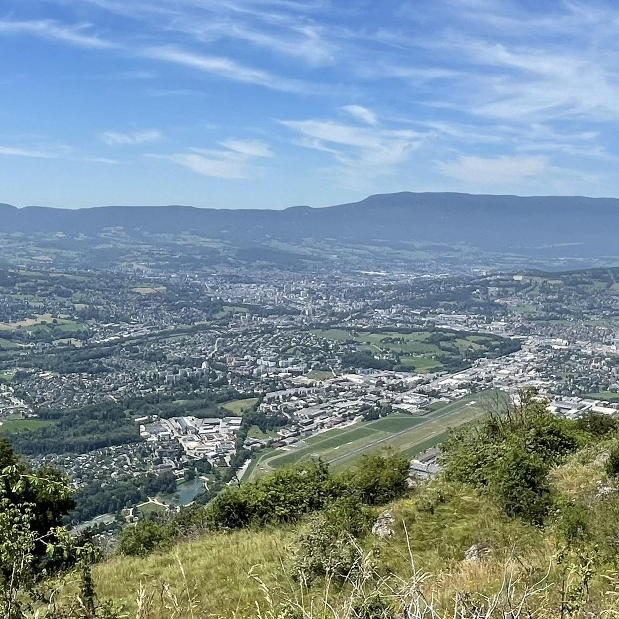
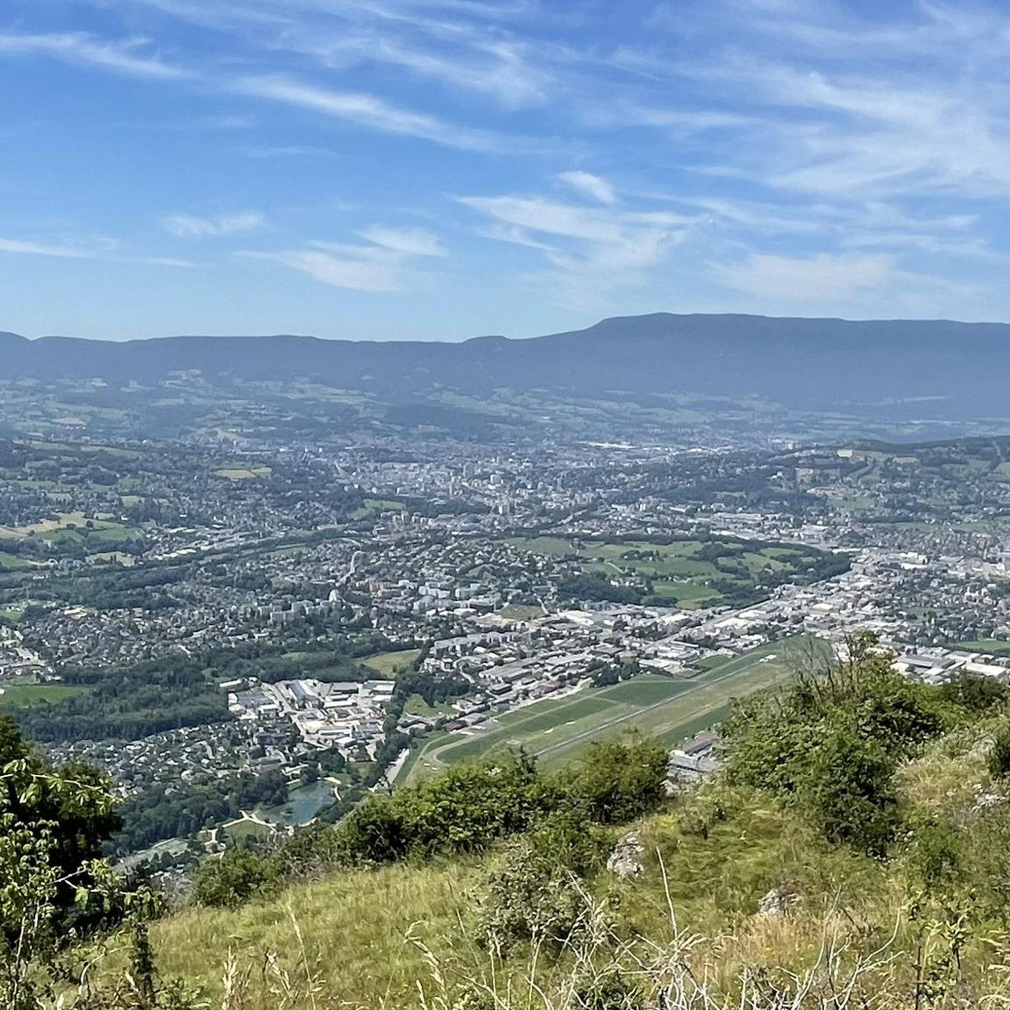
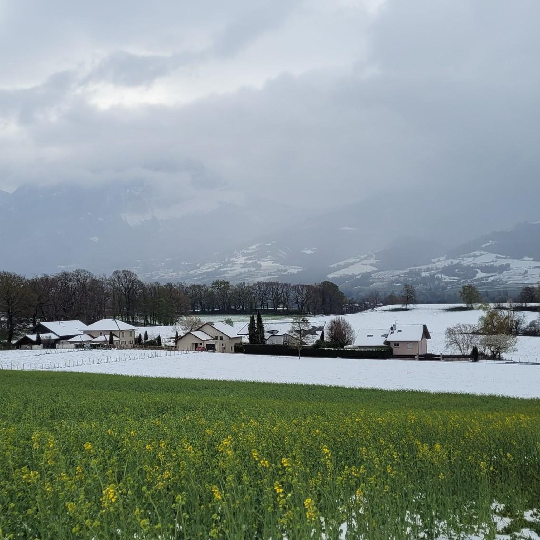
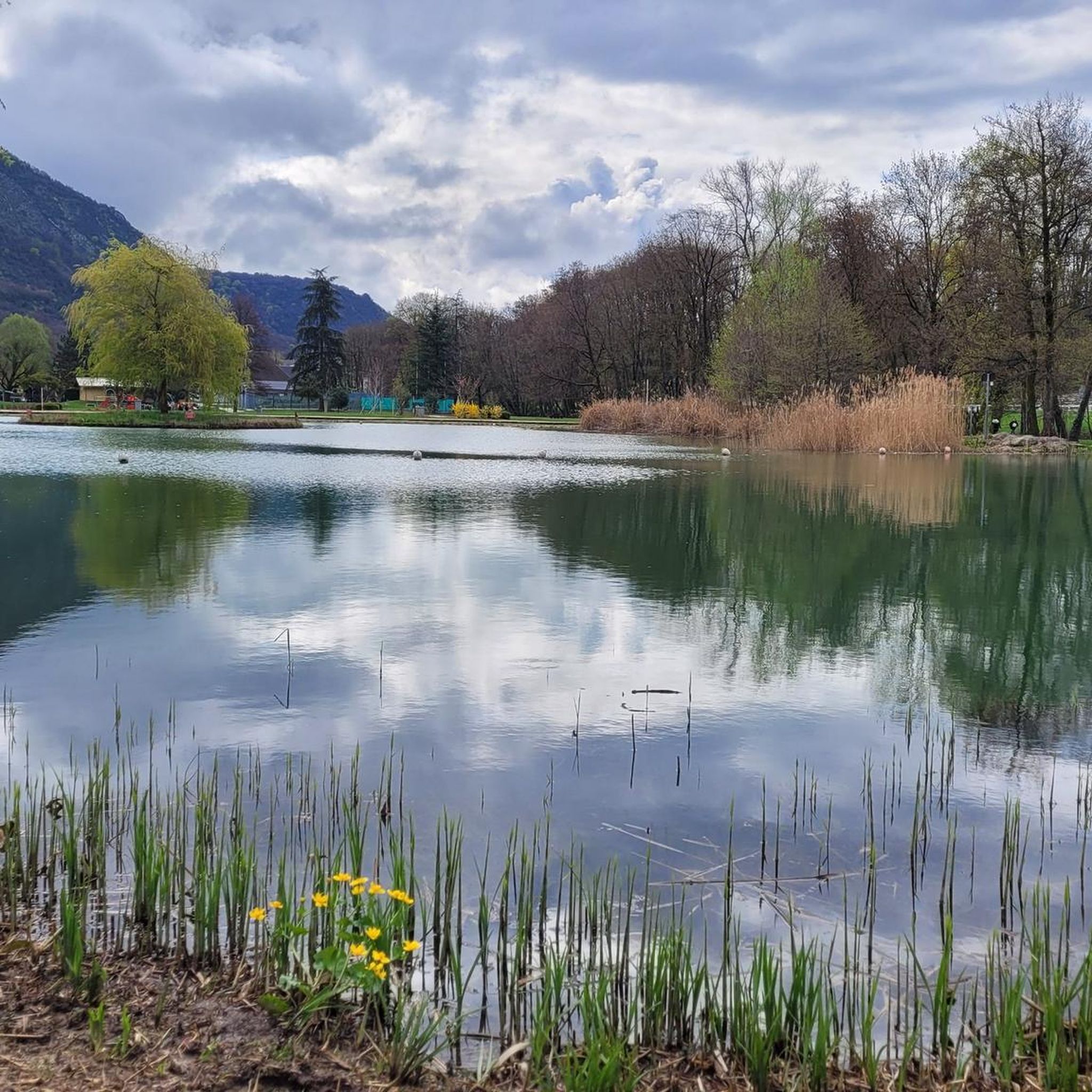
Tips from the Community

Nice little pass, quiet road, great views.
2
0
Beautiful old town of Chambery.
3
0
Nice little place shortly before the last ascent to Col des Pres. Church, bar and fountain.
2
0

The road borders the vineyards of Myans. A superb setting in the heart of the Savoie vineyard, with impressive views of Mont Granier.
0
0

True location of the Pass, arrival marker and sign at the summit.
1
0

Quiet little road to begin the ascent of the Col du Frêne. Very beautiful view.
0
0

Be careful, there are lots of tourists, adjust your speed in pedestrian zones
0
0

Beautiful pass. The climb is a bit gentler from the north. The descent to the south offers beautiful views of the Isère Valley.
0
0
Frequently Asked Questions
How many gravel bike trails are available around Challes-Les-Eaux?
There are nearly 20 gravel bike trails documented around Challes-Les-Eaux on komoot, offering a variety of experiences for different skill levels. The region is well-regarded by the komoot community, with an average rating of 4.4 stars from over 20 reviews.
Are there easy gravel bike trails suitable for beginners in Challes-Les-Eaux?
While many routes in the area are challenging, there are options for beginners. For instance, the La Féclaz loop from Le Village Nordique is a moderate 12-mile (19.3 km) trail with a steady ascent and descent through forested areas, making it a good starting point.
What options are available for experienced gravel bikers seeking a challenge?
Experienced riders will find plenty of challenging routes. The Lake Saint-André – Granier Pass loop from Saint-Baldoph is a difficult 28.8-mile (46.4 km) path featuring significant elevation gain and panoramic views from Granier Pass. Another demanding option is the Plainpalais Pass – La Féclaz loop from Le Village Nordique, which covers 29.8 miles (47.9 km) with over 1000 meters of climbing.
Which gravel bike routes offer the most scenic views or viewpoints?
Many routes in the region boast stunning scenery. The View of Lac du Bourget – Cap des Séselets Beach loop from La Motte-Servolex provides varied terrain with beautiful lake views. Routes that ascend towards passes like Granier Pass also offer expansive vistas of the surrounding mountains and valleys.
Are most gravel bike routes around Challes-Les-Eaux circular?
Yes, many of the popular gravel bike routes around Challes-Les-Eaux are designed as loops, allowing you to start and finish at the same point. Examples include the Col du Frêne (950 m) – Col du Frêne (950 m) loop from Montmélian, which is a substantial 63.2-mile (101.7 km) challenging ride.
When is the best time of year to go gravel biking in Challes-Les-Eaux?
The spring, summer, and early autumn months generally offer the most favorable conditions for gravel biking in Challes-Les-Eaux, with pleasant temperatures and clear trails. During these seasons, you can fully enjoy the mountain passes and lake views without the challenges of snow or ice.
What are the winter conditions like for gravel biking around Challes-Les-Eaux?
Winter conditions can vary significantly. Higher elevation routes, especially those crossing mountain passes like Granier Pass or Col du Frêne, may be impassable due to snow and ice. Lower valley routes might remain rideable, but it's essential to check local weather and trail conditions before heading out, and be prepared for colder temperatures and potentially wet surfaces.
Are there any waterfalls or other natural attractions along the gravel bike trails?
Yes, the region around Challes-Les-Eaux is rich in natural beauty. You might encounter waterfalls such as the Cascade de la Doriaz or the Pichut Waterfall. Additionally, many routes offer views of prominent peaks like the Nivolet Cross.
Where can I find parking for gravel biking in Challes-Les-Eaux?
Many routes start from towns or villages like Le Village Nordique, Saint-Baldoph, or La Motte-Servolex, where public parking is generally available. It's advisable to check specific starting points for designated parking areas or public car parks before your ride.
Are there family-friendly gravel bike trails in the Challes-Les-Eaux area?
For families or those looking for less strenuous rides, focus on routes described as 'moderate' or those that stick to flatter valley sections or designated cycle paths. While the region is known for its climbs, some sections of the longer routes or dedicated greenways can be suitable for a family outing, though specific 'family-friendly' gravel routes are less common than challenging ones.
How does gravel biking in Challes-Les-Eaux compare to Aix-les-Bains?
Both Challes-Les-Eaux and Aix-les-Bains offer excellent gravel biking opportunities, often sharing access to the same regional features like Lac du Bourget and the surrounding mountains. Challes-Les-Eaux is slightly more inland and often serves as a gateway to the Bauges Massif and routes towards Granier Pass, providing a more mountainous and varied terrain. Aix-les-Bains, being directly on Lac du Bourget, might offer more immediate access to lakeside paths and routes with continuous lake views.
Most popular routes around Challes-Les-Eaux
Most popular attractions around Challes-Les-Eaux

Get inspired with the komoot mobile app


Explore more
Browse the best Gravel rides in other regions.
