The best gravel rides around Anthy-Sur-Léman
4.4
(15)
76
riders
13
rides
Gravel biking around Anthy-Sur-Léman offers routes through varied terrain in the Haute-Savoie region, situated near Lake Geneva. The landscape features a mix of rolling hills, forested areas, and elevated points providing views of the lake and surrounding pre-Alps. Trails often navigate through woodlands and ascend towards cols and summits, characteristic of the region's topography.
Best gravel bike trails around Anthy-Sur-Léman
- The most popular gravel bike trail is Le Signal des Voirons Summit – Col de Saxel (944 m) loop from…
Last updated: July 3, 2026
4.3
(3)
7
riders
37.4km
02:29
590m
590m
Hard gravel ride. Very good fitness required. Mostly paved surfaces. Suitable for all skill levels.
4.5
(2)
8
riders
41.0km
02:34
450m
450m
Moderate gravel ride. Good fitness required. Mostly paved surfaces. Suitable for all skill levels.

Sign up for free
4.3
(3)
4
riders
Hard gravel ride. Very good fitness required. Mostly paved surfaces. Suitable for all skill levels.
7
riders
33.8km
02:05
350m
350m
Moderate gravel ride. Good fitness required. Mostly paved surfaces. Suitable for all skill levels.
8
riders
41.3km
02:56
880m
880m
Hard gravel ride. Very good fitness required. You may need to push your bike for some segments of this route.
Get access to more routes and recommendations from other explorers.
Sign up for free
Already have an account?
Our route recommendations are based on thousands of hikes, rides, and runs completed by other people on komoot.
Start today with a free account
Your next adventure awaits.
Login or Signup
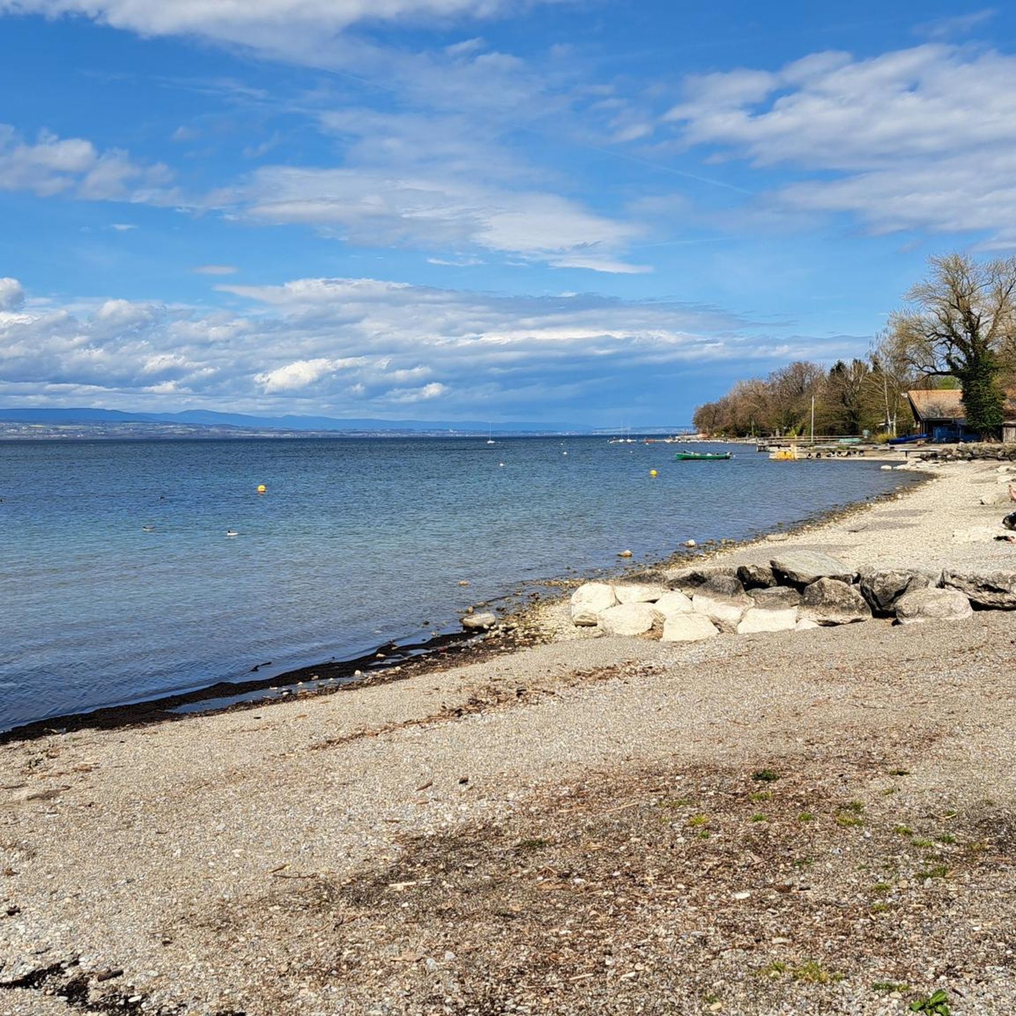
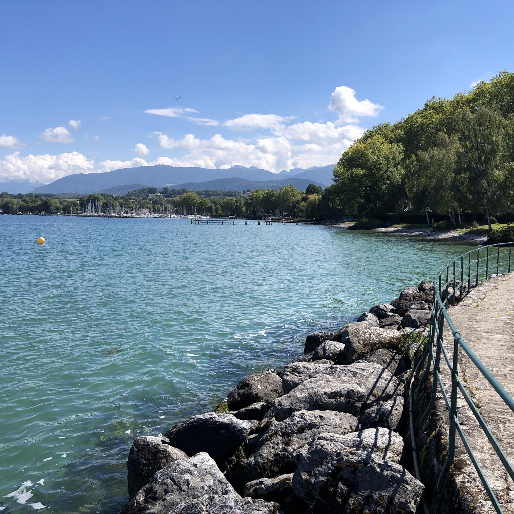
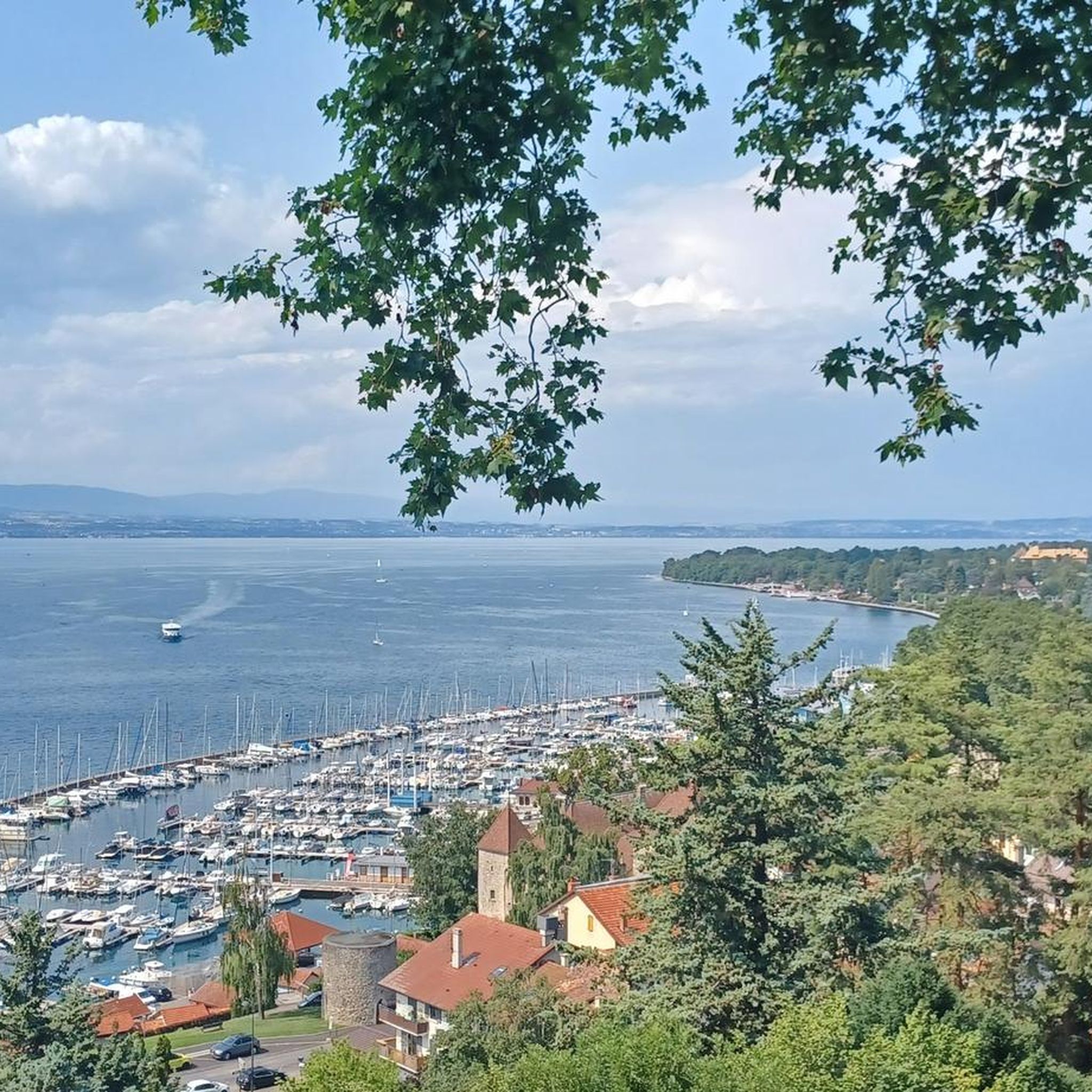
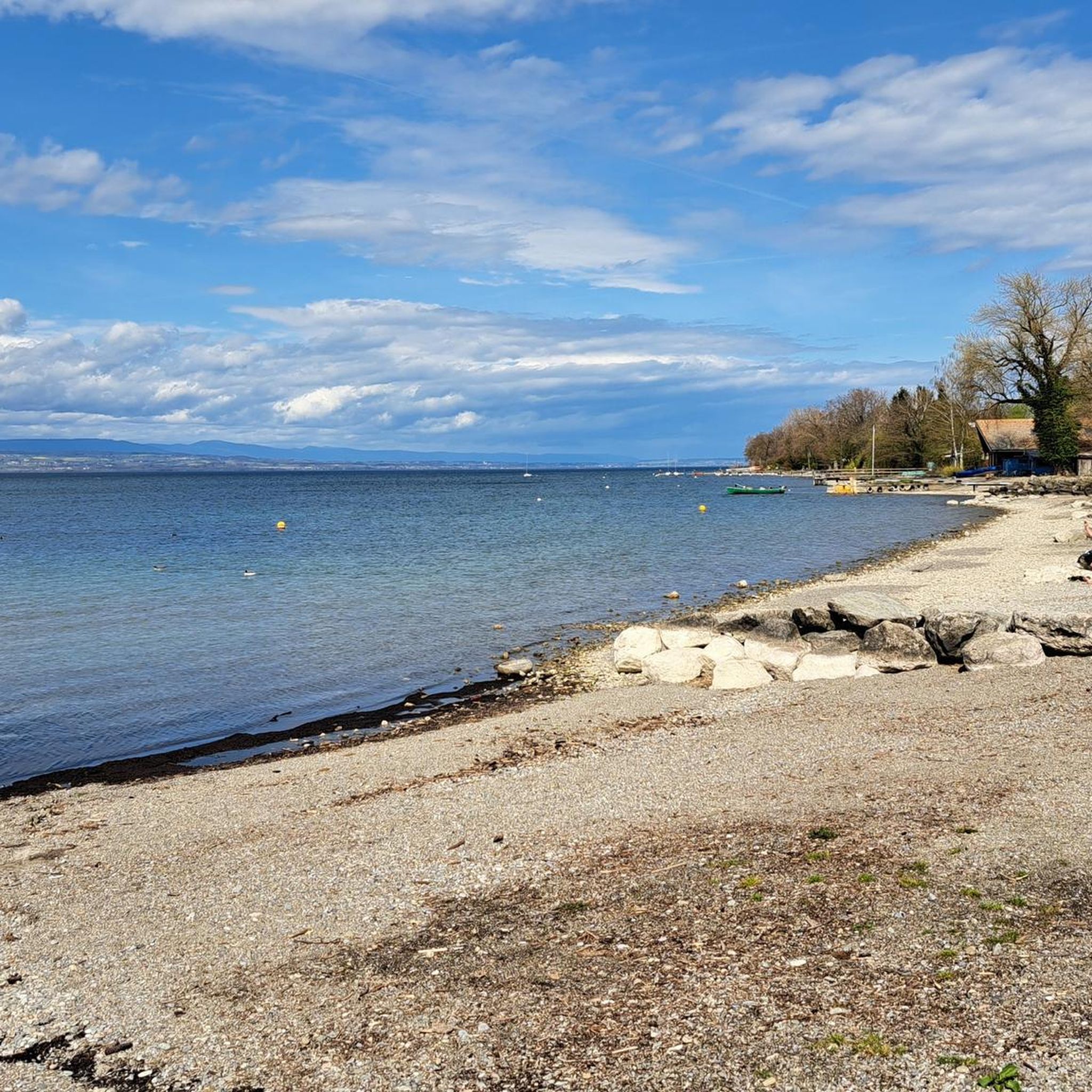
Tips from the Community


From the port in Thonon, you can regularly take the ferry to Lausanne. The crossing takes approx. 50 minutes. If you want to book a round trip in one day, the cheaper day ticket is already worthwhile. More information can be found at https://www.cgn.ch
0
0


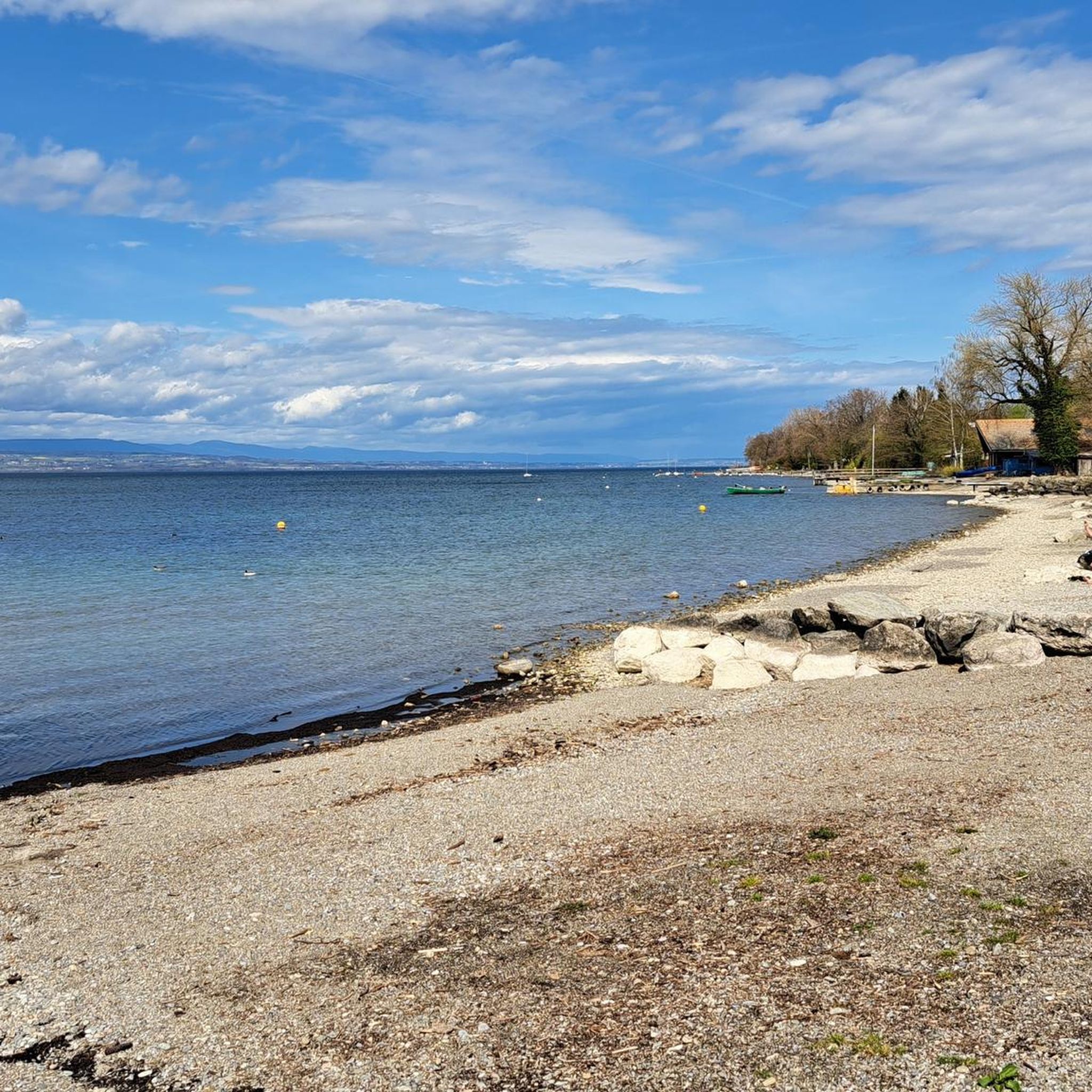
In Thonon, there's the lower town, located at lake level with its beautiful harbor. The older upper town is well worth a visit if you're traveling by bike. The view of Lake Geneva is splendid.
0
0

This Swiss lake is simply worth a visit.
0
0
Frequently Asked Questions
What kind of gravel biking experience can I expect around Anthy-Sur-Léman?
Gravel biking in the Anthy-Sur-Léman area, situated near Lake Geneva in Haute-Savoie, offers a diverse landscape. You'll find routes through rolling hills, dense forests, and elevated points that provide stunning views of the lake and the pre-Alps. Many trails involve ascents towards mountain passes and summits, characteristic of the region's topography.
Are there easy gravel bike routes suitable for beginners near Anthy-Sur-Léman?
While many routes in the region are challenging, there are options for less experienced riders. The area features 1 easy route and 6 moderate routes. For a moderate option that offers a mix of forest and lake views, consider the Coudrée Castle – Trail Bois de Verney loop from Massongy, which is about 33.8 km long.
What are the more challenging gravel bike routes around Anthy-Sur-Léman?
For experienced gravel bikers seeking a challenge, there are 20 difficult routes available. A notable option is the Le Signal des Voirons Summit – Col de Saxel (944 m) loop from Massongy. This 56.1 km route features significant elevation gain towards a summit and a mountain pass, offering a demanding ride.
Are there any family-friendly gravel bike trails in the area?
While specific 'family-friendly' designations can vary, routes with less elevation gain and smoother surfaces are generally preferred. The Coudrée Castle – Trail Bois de Verney loop from Massongy is a moderate option that passes through forested areas and by Coudrée Castle, which might be suitable for families with some biking experience.
What kind of scenic views can I expect on gravel bike routes near Anthy-Sur-Léman?
Many routes offer spectacular views, particularly of Lake Geneva and the surrounding pre-Alps. For example, the Balcony overlooking Lake Geneva – Fallow deer park loop from Lyaud provides extensive scenic overlooks of the lake and passes through a fallow deer park, adding to the visual appeal.
Are there circular gravel bike routes around Anthy-Sur-Léman?
Yes, many of the gravel bike routes in the area are designed as loops, allowing you to start and finish at the same point. Examples include the Coudrée Castle – View of Lake Geneva loop from Lully and the Col du Feu – Cou Pass (1116 m) loop from Ville Haute.
What are some interesting landmarks or attractions I can see along the gravel bike trails?
The region is rich in historical and natural attractions. You might encounter landmarks such as Yvoire Medieval Village, the impressive Château de Ripaille, or even views of Mount Forchat. Some routes, like the Coudrée Castle – Trail Bois de Verney loop from Massongy, pass directly by historical sites.
What is the typical length and duration of gravel bike trails in this area?
The gravel bike trails around Anthy-Sur-Léman vary significantly in length and duration. You'll find routes ranging from around 30 km to over 50 km. For instance, the Coudrée Castle – Trail Bois de Verney loop is about 33.8 km and takes roughly 2 hours 4 minutes, while the more challenging Le Signal des Voirons Summit – Col de Saxel (944 m) loop is 56.1 km and can take over 4 hours.
What is the best time of year for gravel biking around Anthy-Sur-Léman?
The best time for gravel biking is typically from spring through autumn (April to October) when the weather is milder and trails are generally dry. Summer offers warm temperatures, but spring and autumn provide pleasant conditions with fewer crowds and vibrant scenery. Always check local weather forecasts before heading out.
What are the winter conditions like for gravel biking near Anthy-Sur-Léman?
Winter conditions can be challenging. Higher elevation routes and mountain passes may be covered in snow or ice, making them impassable or very difficult for gravel biking. Lower elevation trails might be muddy or wet. It's advisable to check local conditions and trail reports before planning a winter ride and to be prepared for colder temperatures and potentially slippery surfaces.
Are there places to stop for refreshments or cafes along the gravel bike routes?
While specific cafes directly on every trail are not guaranteed, many routes pass through or near villages and towns where you can find bakeries, cafes, or small shops. Planning your route with potential stops in mind, especially in places like Massongy or Lully, will allow for refreshment breaks.
What do other gravel bikers say about the trails around Anthy-Sur-Léman?
The gravel biking routes in Anthy-Sur-Léman are highly rated by the komoot community, with an average score of 4.3 stars from over 4 reviews. Many users appreciate the varied terrain, the stunning views of Lake Geneva, and the challenging ascents that characterize the region's trails.
Most popular routes around Anthy-Sur-Léman
Most popular attractions around Anthy-Sur-Léman

Get inspired with the komoot mobile app


Explore more
Browse the best Gravel rides in other regions.
