The best gravel rides around Mollkirch
4.5
(29)
172
riders
38
rides
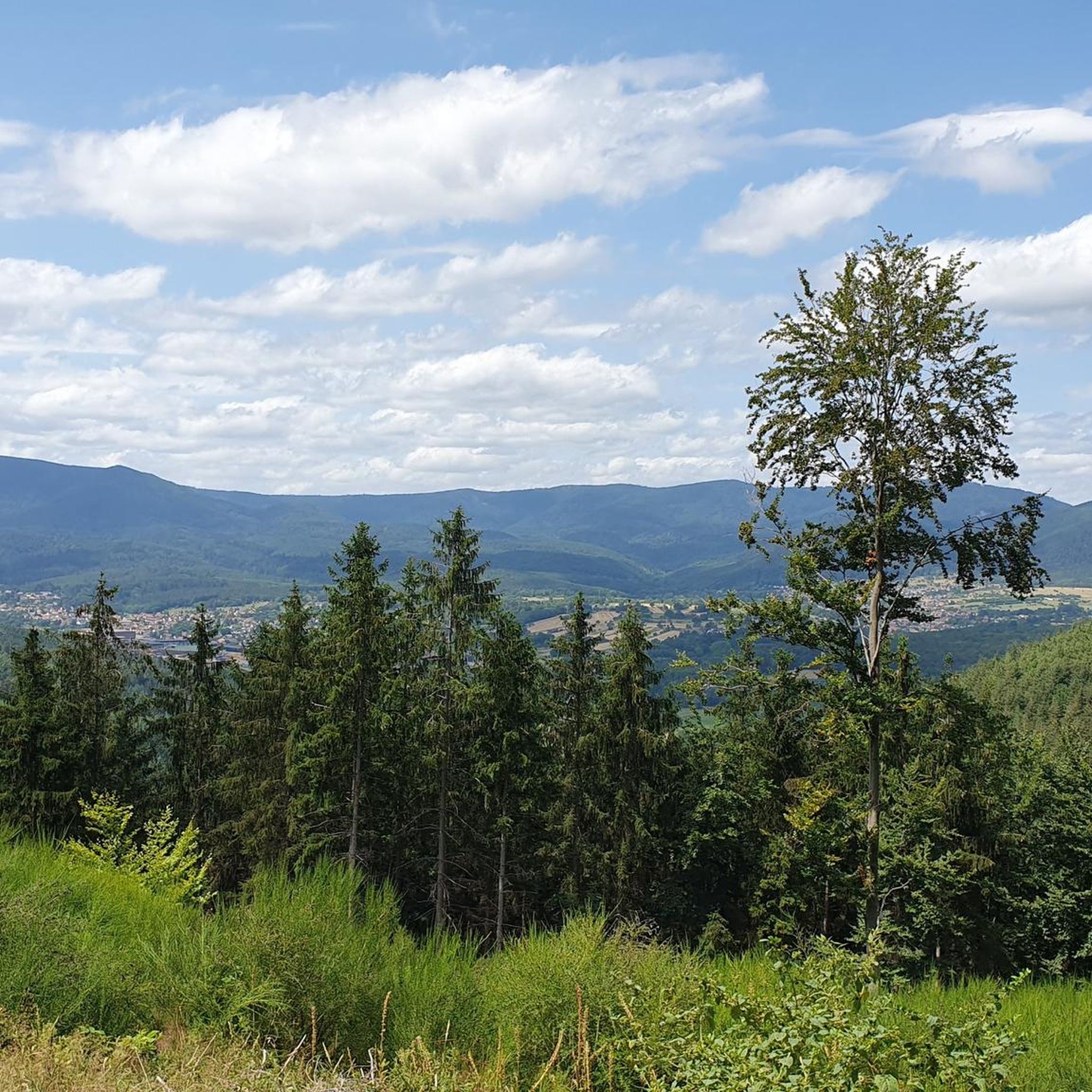
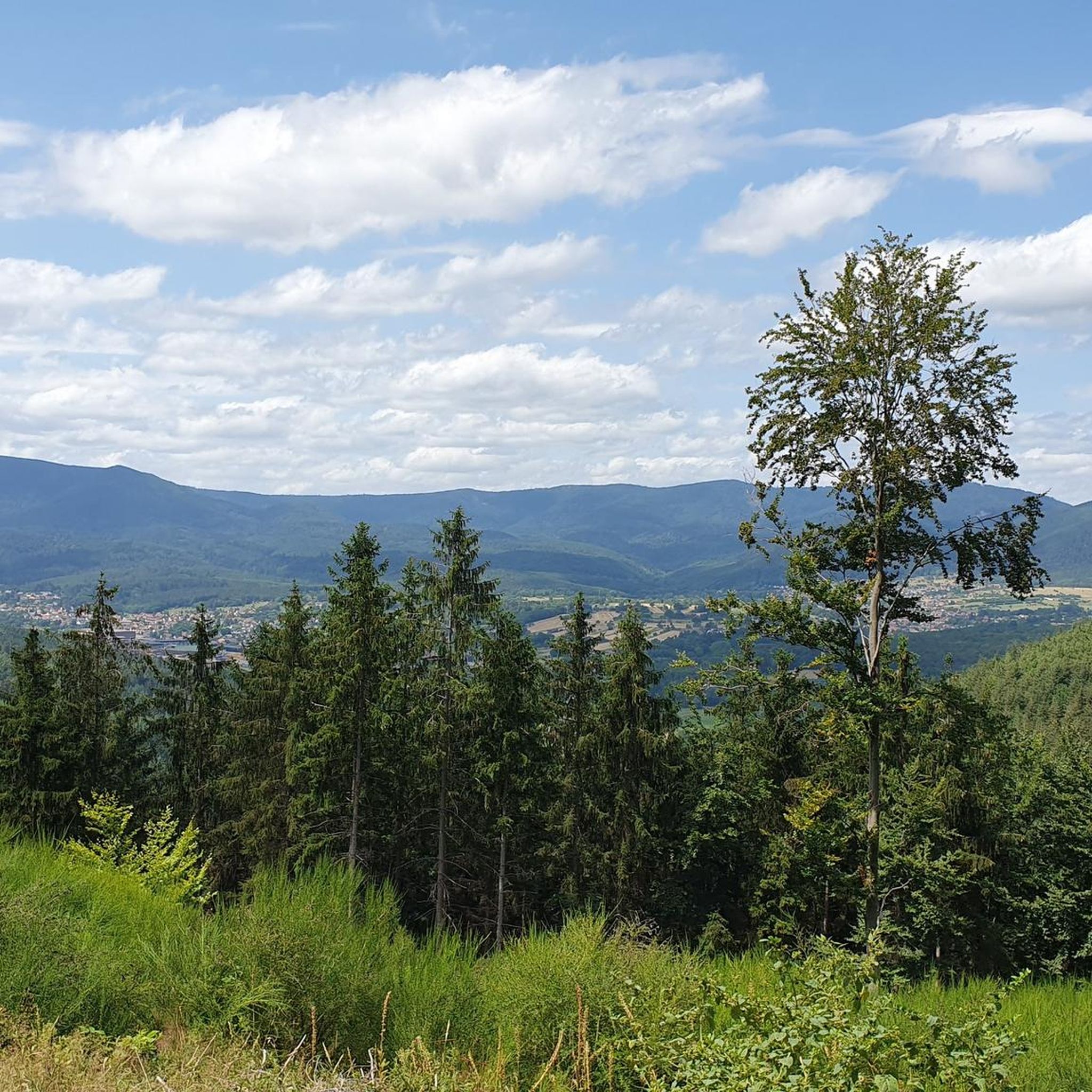
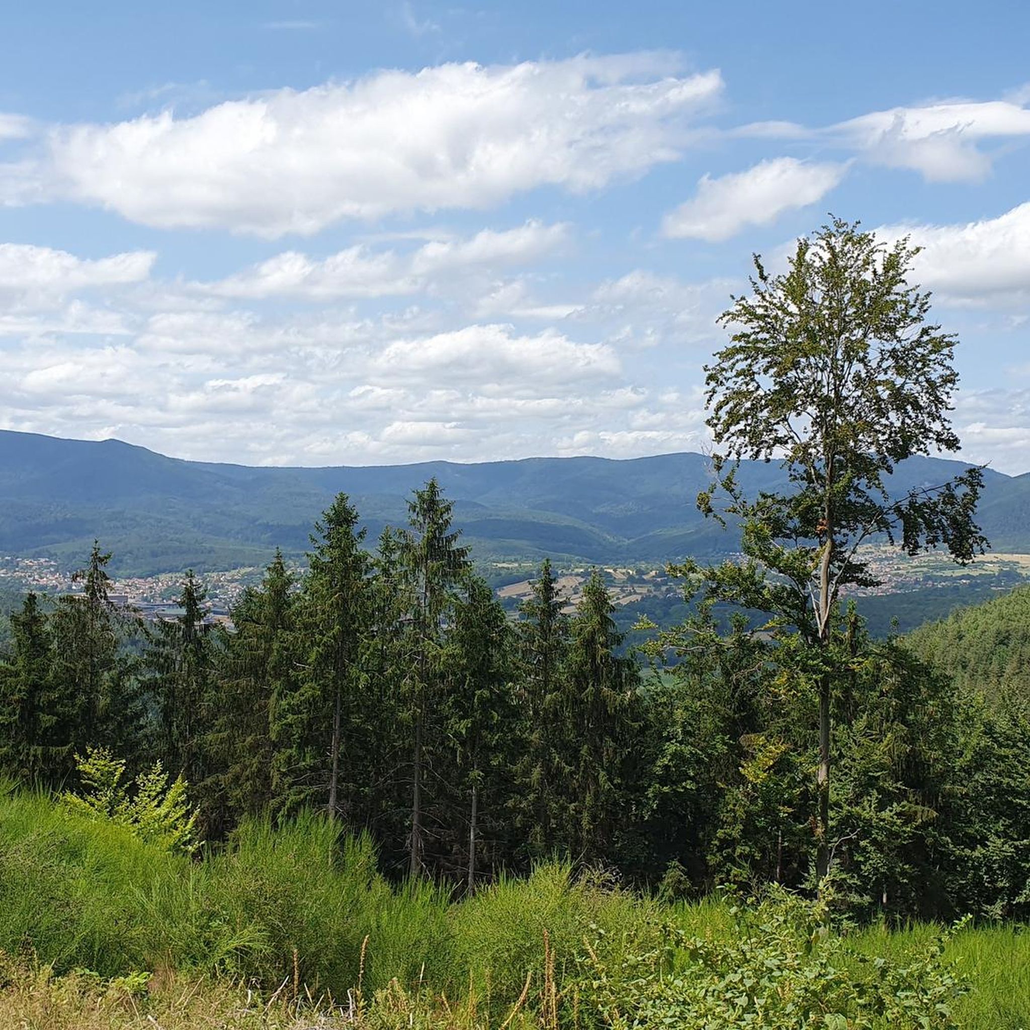
Gravel biking around Mollkirch offers a diverse landscape characterized by dense woodlands, rolling hills, and varied terrain. The region features mountainous areas that provide both challenging climbs and scenic descents. Routes often traverse natural parks and historical sites, integrating cultural elements with outdoor activity. The geology contributes to a mix of surfaces, from forest paths to open gravel tracks, suitable for gravel biking.
Best gravel bike trails around Mollkirch
- The most popular gravel bike trail is Route des Pionniers –…
Last updated: July 3, 2026
5.0
(1)
15
riders
120km
09:17
2,200m
2,200m
Hard gravel ride. Very good fitness required. Mostly paved surfaces. Suitable for all skill levels.
9
riders
Hard gravel ride. Very good fitness required. Mostly paved surfaces. Suitable for all skill levels.

Sign up for free
4.7
(3)
4
riders
19.7km
01:21
450m
450m
Moderate gravel ride. Good fitness required. Mostly paved surfaces. Suitable for all skill levels.
5.0
(1)
5
riders
72.8km
05:14
1,370m
1,370m
Hard gravel ride. Very good fitness required. You may need to push your bike for some segments of this route.
4.0
(2)
7
riders
43.0km
03:45
1,070m
1,070m
Hard gravel ride. Very good fitness required. Mostly paved surfaces. Suitable for all skill levels.
Get access to more routes and recommendations from other explorers.
Sign up for free
Already have an account?
Our route recommendations are based on thousands of hikes, rides, and runs completed by other people on komoot.
Start today with a free account
Your next adventure awaits.
Login or Signup
Tips from the Community

Very good place to stop for refreshments!
0
0

Champ du Feu, at 1099 meters, is the highest mountain in the Bas-Rhin department of the Vosges in Alsace. It lies between the towns of Belmont and Le Hohwald and consists of an extensive high plateau with forests, meadows, and moorlands. The area is a popular nature and recreational area. In summer, it is mainly used for hiking, mountain biking, and nature observation. In winter, there is a small ski area with cross-country trails and simple slopes for winter sports. The brook La Serva originates from Champ du Feu, later forming the Cascade de la Serva. In clear weather, the summit offers wide views over the Vosges, the Rhine plain, and as far as the Black Forest. The area is particularly known for its tranquil nature, high moors, sunrises and starry skies, as well as well-marked hiking trails.
0
0

This section of the cycle path that crosses the Bruche Valley is one of the most beautiful. The landscape is completely unobstructed, allowing you to admire the first Vosges mountains. All this while cycling on a very high-quality surface.
0
0

Very nice to ride: moderate gradient, little traffic.
0
1

The kitchen had already closed at 3 p.m. on Sunday afternoon, so there were no hot or cold food left. Only cake and ice cream, but that was good. 💲💲Cash only. 💲💲
0
0

A long and beautiful forest road. However, it's bumpy in places on a road bike!
0
0

What a blessing, these fountains that are officially designated as drinking water fountains!
0
0

The place is good for sleeping but you will have to walk a little lower down to the water point.
2
0
Frequently Asked Questions
How many gravel bike trails are available around Mollkirch?
There are over 50 gravel bike trails around Mollkirch, offering a wide range of options for different skill levels and preferences. The region is known for its diverse terrain, from dense woodlands to rolling hills.
Are there easy gravel bike trails suitable for beginners in Mollkirch?
While many routes around Mollkirch are challenging, there are options for beginners. For a moderate introduction to the area's gravel biking, consider the Pandours Pass – Col des Pandours loop from Glossberg, which is about 12 miles long and offers panoramic views.
What are the typical lengths of gravel bike trails near Mollkirch?
Gravel bike trails near Mollkirch vary significantly in length. You'll find routes ranging from shorter, moderate loops around 12 miles, such as the Pandours Pass loop, to much longer, difficult trails exceeding 40 miles, like the Mont Sainte-Odile Abbey loop.
Are there challenging gravel bike trails for experienced riders?
Yes, Mollkirch is well-suited for experienced gravel bikers seeking a challenge. Many routes feature significant elevation gain and varied terrain. For instance, the Route des Pionniers – La Porte de Pierre loop is a difficult 31.8-mile trail with substantial climbing.
What kind of scenery can I expect on gravel bike trails in Mollkirch?
The gravel bike trails around Mollkirch offer diverse and scenic landscapes. You'll ride through dense forests, experience rolling hills, and encounter elevated areas providing panoramic views. Many routes also pass by historical sites, integrating cultural elements with the natural beauty.
Are there any interesting landmarks or attractions along the gravel bike routes?
Absolutely. The region around Mollkirch is rich in historical landmarks and natural beauty. You might encounter impressive peaks like Mount Sainte-Odile or viewpoints such as Rocher de Mutzig. The area also features several castles, including the ruins of Rathsamhausen Castle and Nideck Castle.
What do other gravel bikers enjoy most about Mollkirch?
The gravel biking experience in Mollkirch is highly rated by the komoot community, with an average score of 4.4 stars. Riders often praise the region's varied terrain, the challenging climbs, and the integration of historical landmarks within the natural landscape.
Are there gravel bike routes that are circular loops?
Yes, many of the gravel bike routes around Mollkirch are designed as circular loops, making them convenient for starting and ending at the same point. Examples include the Route des Pionniers – La Porte de Pierre loop and the La Rothlach – Rocher de Rathsamhausen loop.
What is the best season for gravel biking in Mollkirch?
The best season for gravel biking in Mollkirch is typically spring through autumn, when the weather is mild and the trails are generally dry. While winter riding is possible, be prepared for colder temperatures and potentially muddy or icy conditions, especially in higher elevations.
Are there quiet gravel bike paths away from busy roads?
Mollkirch's gravel bike routes largely traverse through natural parks and dense woodlands, offering a peaceful riding experience away from traffic. You'll find many paths that allow for quiet exploration of the region's forests and hills.
Are there any gravel bike routes that pass by lakes or water features?
Yes, some routes in the wider Mollkirch area incorporate water features. For example, the Prayé Forest Road – Lac de la Maix loop from Urmatt will take you past the scenic Lac de la Maix.
Most popular attractions around Mollkirch

Get inspired with the komoot mobile app


Explore more
Browse the best Gravel rides in other regions.
