The best gravel rides around Oberhaslach
4.8
(11)
145
riders
32
rides
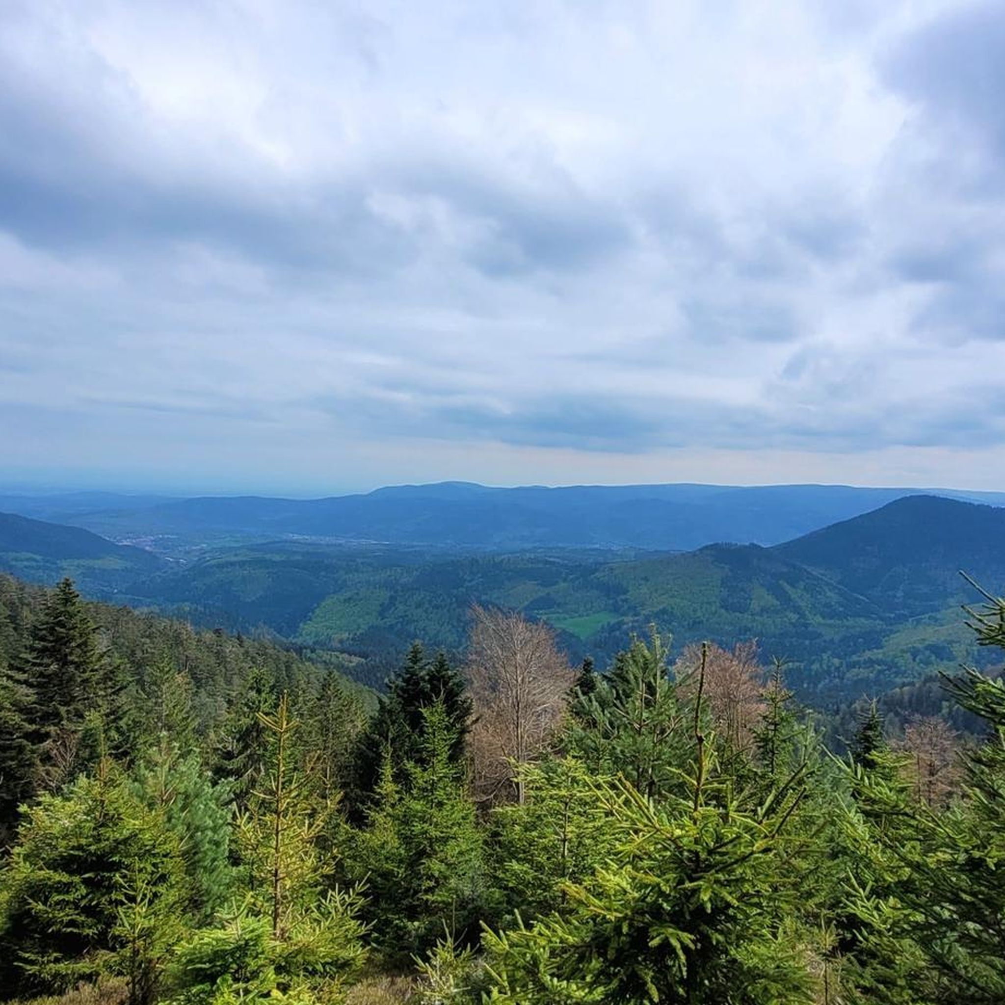
Gravel biking around Oberhaslach offers a diverse landscape characterized by rolling hills, dense forests, and historic passes. The region features varied terrain, including forest roads and paths that traverse significant elevation changes. These routes often lead through natural areas and connect to points of interest. The area provides a mix of challenging climbs and more moderate sections suitable for gravel cycling.
Best gravel bike trails around Oberhaslach
- The most popular gravel bike trail is Route des Pionniers – La Porte…
Last updated: August 12, 2026
5.0
(1)
15
riders
120km
09:17
2,200m
2,200m
Hard gravel ride. Very good fitness required. Mostly paved surfaces. Suitable for all skill levels.
10
riders
Hard gravel ride. Very good fitness required. Mostly paved surfaces. Suitable for all skill levels.

Sign up for free
4.5
(2)
42
riders
117km
08:39
2,190m
2,190m
Hard gravel ride. Very good fitness required. Mostly paved surfaces. Suitable for all skill levels.
13
riders
115km
09:16
2,210m
2,210m
Hard gravel ride. Very good fitness required. Mostly paved surfaces. Suitable for all skill levels.
5.0
(1)
5
riders
72.8km
05:15
1,370m
1,370m
Hard gravel ride. Very good fitness required. You may need to push your bike for some segments of this route.
Get access to more routes and recommendations from other explorers.
Sign up for free
Already have an account?
Our route recommendations are based on thousands of hikes, rides, and runs completed by other people on komoot.
Start today with a free account
Your next adventure awaits.
Login or Signup

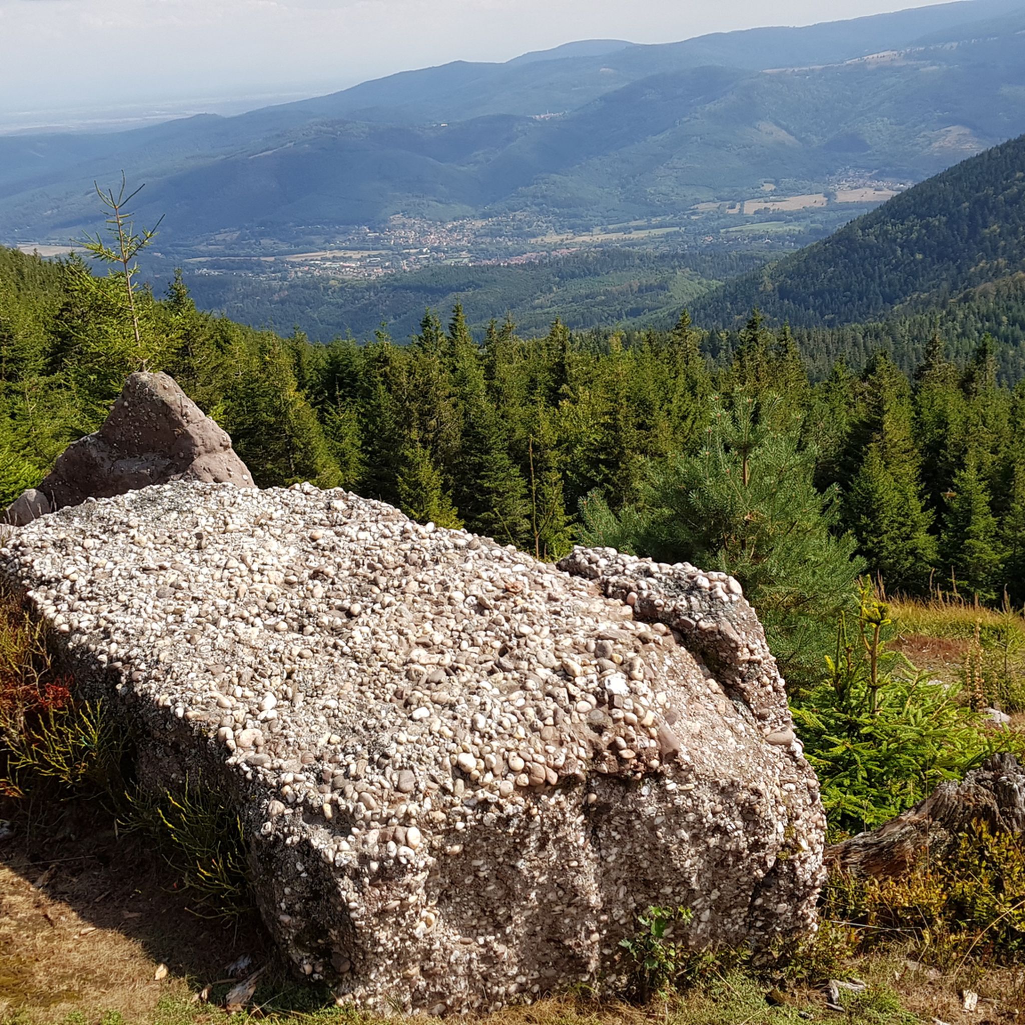
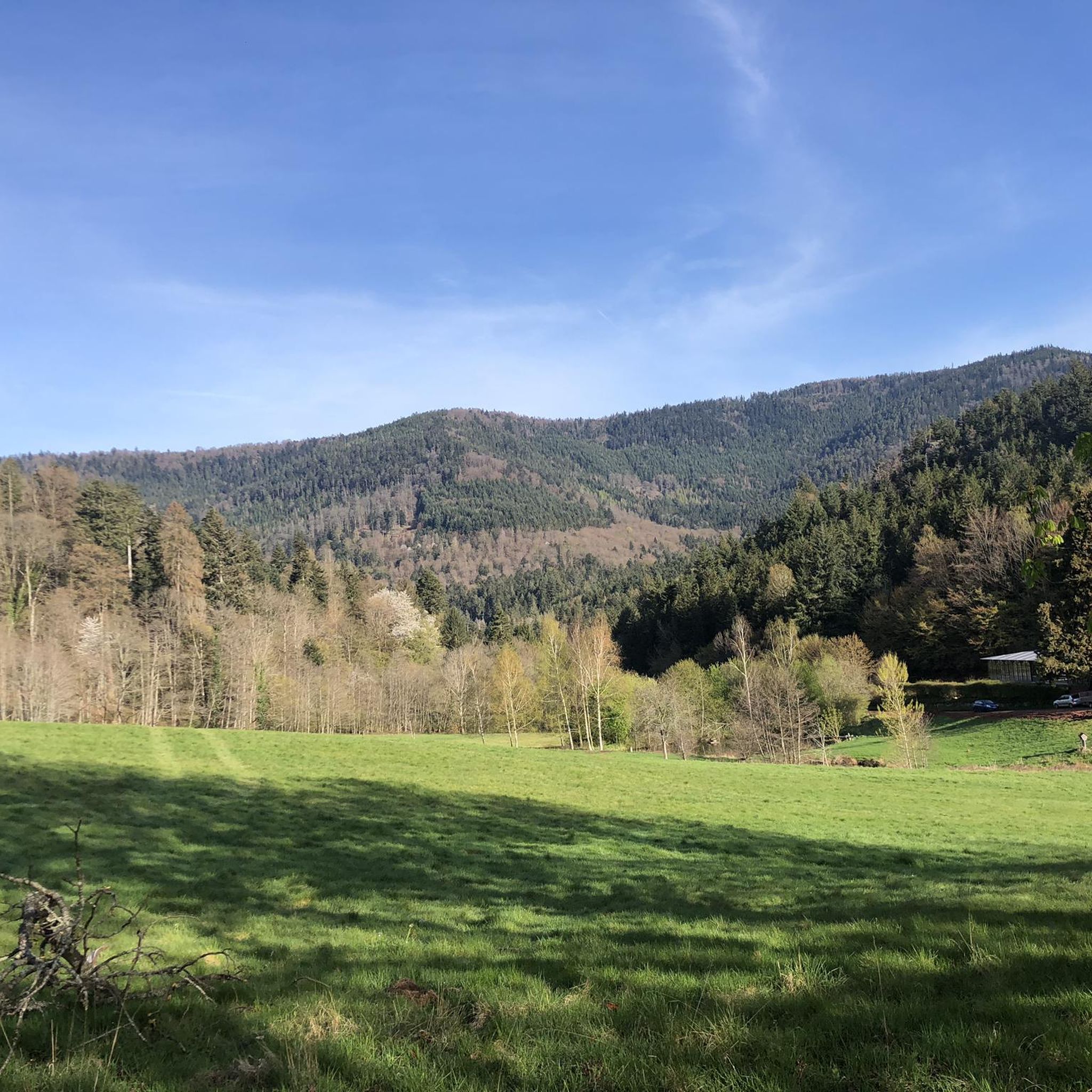
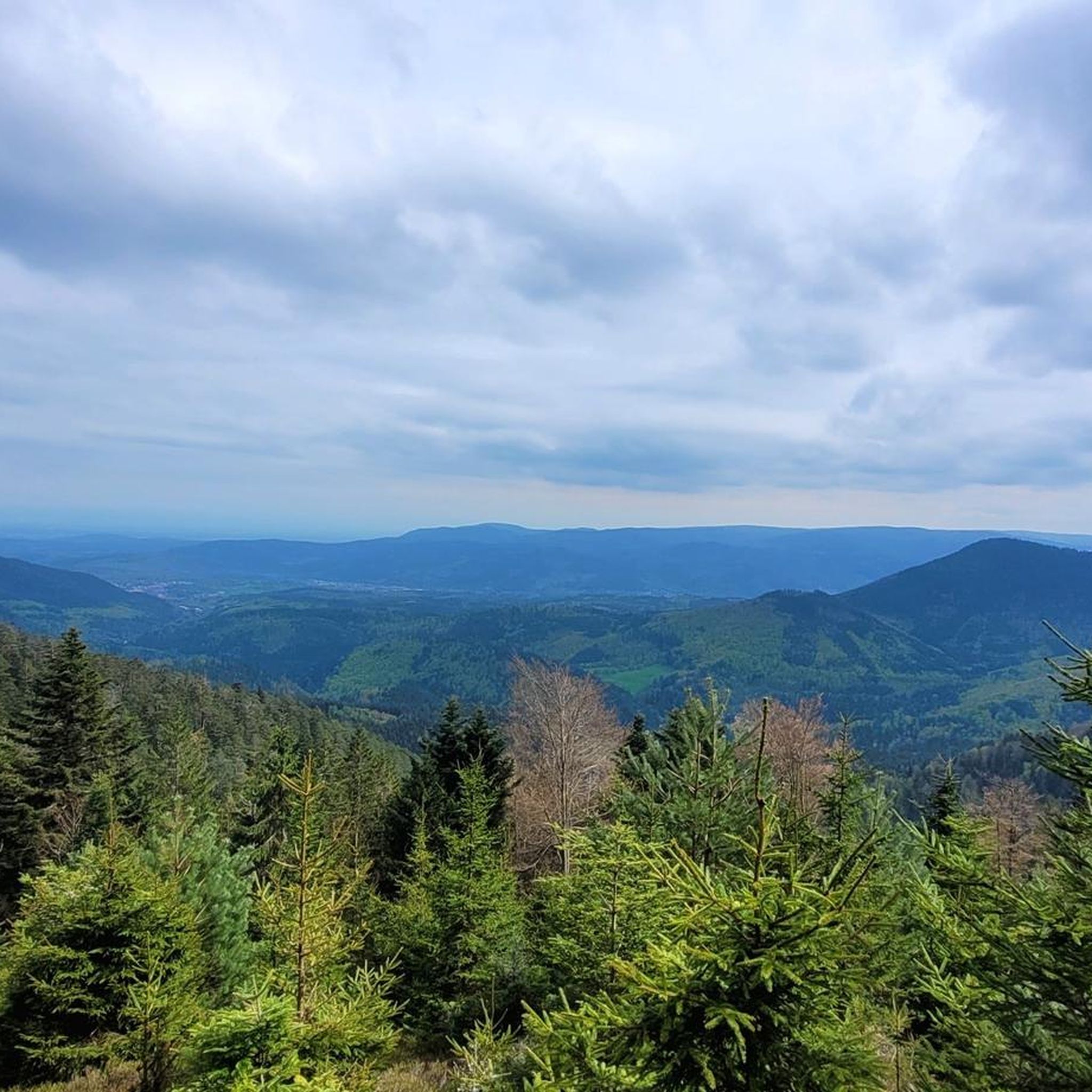
Other adventures around Oberhaslach

Tips from the Community

Section of the consistently recommendable cycle path between Schirmeck and Gresswiller.
0
0

This section of the cycle path that crosses the Bruche Valley is one of the most beautiful. The landscape is completely unobstructed, allowing you to admire the first Vosges mountains. All this while cycling on a very high-quality surface.
0
0
Very nice to ride: moderate gradient, little traffic.
0
1

A long and beautiful forest road. However, it's bumpy in places on a road bike!
0
0

Beautiful trails. Unfortunately, a section was closed, private. But we continued, just in a different way.
0
0

What a blessing, these fountains that are officially designated as drinking water fountains!
0
0

The place is good for sleeping but you will have to walk a little lower down to the water point.
2
0
Very practical for topping up the water supply
1
0
Frequently Asked Questions
What is the general difficulty level of gravel bike trails around Oberhaslach?
Gravel biking around Oberhaslach is primarily characterized by challenging routes. While there are a few moderate options, the majority of the over 30 available tours are rated as difficult, featuring significant elevation changes and extensive forest roads.
Are there any moderate gravel bike trails suitable for less experienced riders in Oberhaslach?
Yes, while many routes are challenging, there are a few moderate options. For instance, the Pandours Pass – Col des Pandours loop from Glossberg is a moderate 12.2-mile (19.7 km) path that navigates through a historic pass with notable climbs, offering a good balance for those seeking a less intense ride.
What are some of the longer gravel bike routes available near Oberhaslach?
Oberhaslach offers several extensive gravel bike routes for endurance riders. The Saverne Town Center – Château des Rohan de Saverne loop from Wangenbourg-Engenthal is a substantial 56.4-mile (90.8 km) trail, and the Pandours Pass – Col des Pandours loop from Wangenbourg-Engenthal covers 88.3 km, both leading through forested areas and past historical sites.
What kind of terrain can I expect on gravel bike trails in Oberhaslach?
The terrain around Oberhaslach is diverse, featuring rolling hills, dense forests, and historic passes. You'll encounter varied surfaces, including forest roads and paths, with significant elevation changes that provide both challenging climbs and more moderate sections.
What do other gravel bikers say about the trails in Oberhaslach?
The komoot community highly rates the gravel biking experience in Oberhaslach, with an average score of 4.7 stars from nearly 20 reviews. Riders often praise the varied terrain, challenging passes, and the beauty of the extensive forest roads.
Are there any circular gravel bike routes around Oberhaslach?
Yes, many of the gravel bike routes in Oberhaslach are designed as loops. Examples include the popular Route des Pionniers – La Porte de Pierre loop from Heiligenberg - Mollkirch and the Pandours Pass – Col des Pandours loop from Glossberg, allowing you to start and end at the same point.
What are some notable landmarks or viewpoints I can see along the gravel bike trails?
The region around Oberhaslach is rich in natural and historical landmarks. You can encounter impressive peaks like Schneeberg Summit and Le Petit Donon, or visit viewpoints such as Rocher de Dabo and Chapel Saint-Léon IX. Historic mountain passes like Col des Pandours are also prominent features.
Are there any historical sites or cultural attractions accessible by gravel bike?
Yes, several routes pass by historical sites. For example, the Saverne Town Center – Château des Rohan de Saverne loop from Wangenbourg-Engenthal leads past historical sites. You can also find highlights like the Donon Temple and the Schubert Stone and Shelter at Col Entre les Deux Donons along various trails.
What is the best time of year for gravel biking in Oberhaslach?
The best time for gravel biking in Oberhaslach is typically from spring through autumn (April to October). During these months, the weather is generally milder, and the forest roads are more accessible. Always check local weather conditions before heading out, especially for higher elevations.
Are there any routes that feature lakes or significant water bodies?
Yes, the Prayé Forest Road – Lac de la Maix loop from Urmatt is a notable route that includes the Lac de la Maix, offering scenic views of the water amidst the forested landscape.
Where can I find parking for gravel biking trails in Oberhaslach?
While specific parking information for each trail isn't detailed, many routes start from villages or towns like Heiligenberg, Glossberg, Wangenbourg-Engenthal, or Urmatt. You can generally find public parking facilities in these areas, often near the start points of the loops.
How many gravel bike trails are available in the Oberhaslach region?
There are over 30 gravel bike trails available around Oberhaslach, offering a wide range of options for different skill levels, though the majority are rated as difficult.
Most popular routes around Oberhaslach
Most popular attractions around Oberhaslach

Get inspired with the komoot mobile app


Explore more
Browse the best Gravel rides in other regions.
