The best gravel rides around Niedersteinbach
4.4
(43)
304
riders
39
rides
Gravel biking around Niedersteinbach explores a region characterized by dense forests, rolling hills, and scenic valleys within the Northern Vosges Regional Natural Park. The terrain features a mix of forest tracks, gravel paths, and some paved sections, offering varied surfaces for gravel cyclists. Notable natural features include remarkable rock formations and sandstone spurs, providing a diverse environment for both challenging and more relaxed gravel bike routes. The area's characteristic mix of forest trails, country roads, and varied paths makes it…
Last updated: July 3, 2026
4.7
(23)
115
riders
45.6km
02:46
520m
520m
Hard gravel ride. Very good fitness required. Mostly paved surfaces. Suitable for all skill levels.
4.0
(1)
25
riders
82.9km
05:24
1,080m
1,080m
Hard gravel ride. Very good fitness required. You may need to push your bike for some segments of this route.

Sign up for free
4.3
(3)
17
riders
Hard gravel ride. Very good fitness required. Mostly paved surfaces. Suitable for all skill levels.
11
riders
37.1km
02:29
470m
470m
Hard gravel ride. Very good fitness required. Mostly paved surfaces. Suitable for all skill levels.
5.0
(1)
3
riders
36.5km
03:00
630m
630m
Hard gravel ride. Very good fitness required. Mostly paved surfaces. Suitable for all skill levels.
Get access to more routes and recommendations from other explorers.
Sign up for free
Already have an account?
Our route recommendations are based on thousands of hikes, rides, and runs completed by other people on komoot.
Start today with a free account
Your next adventure awaits.
Login or Signup
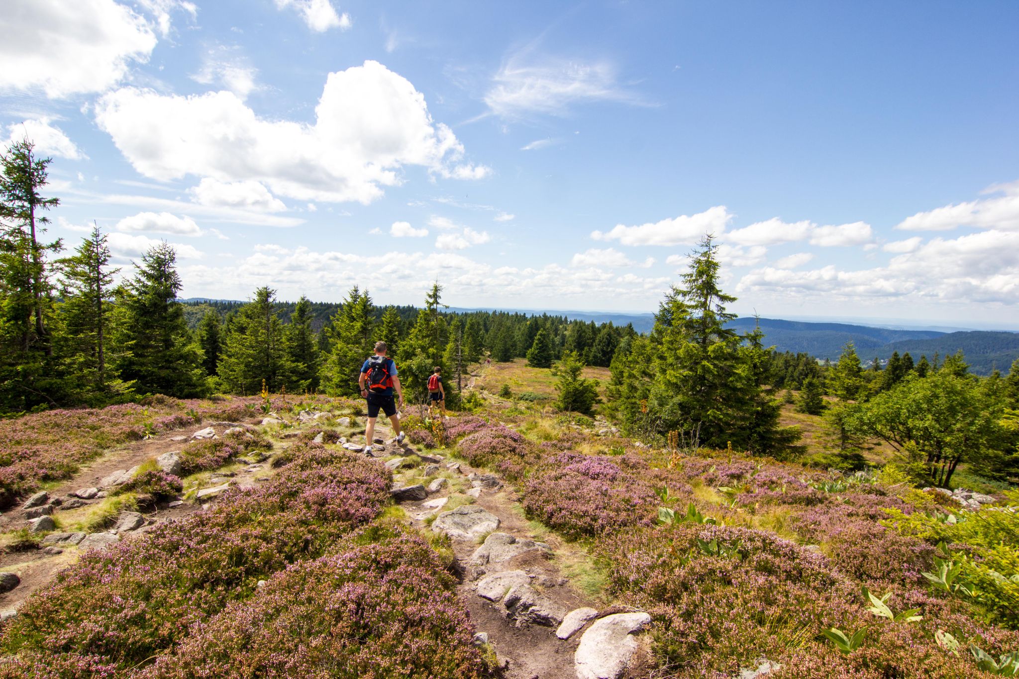
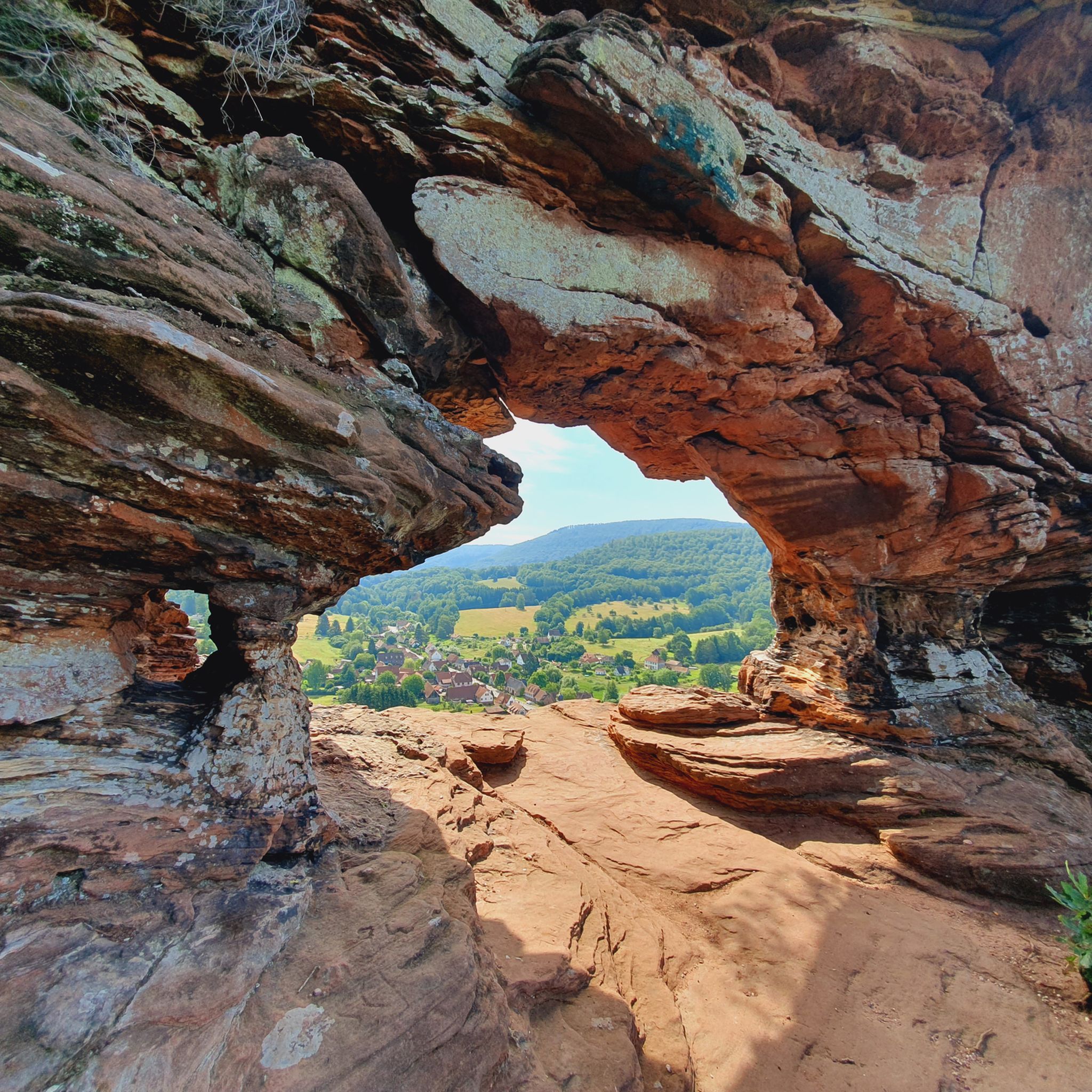
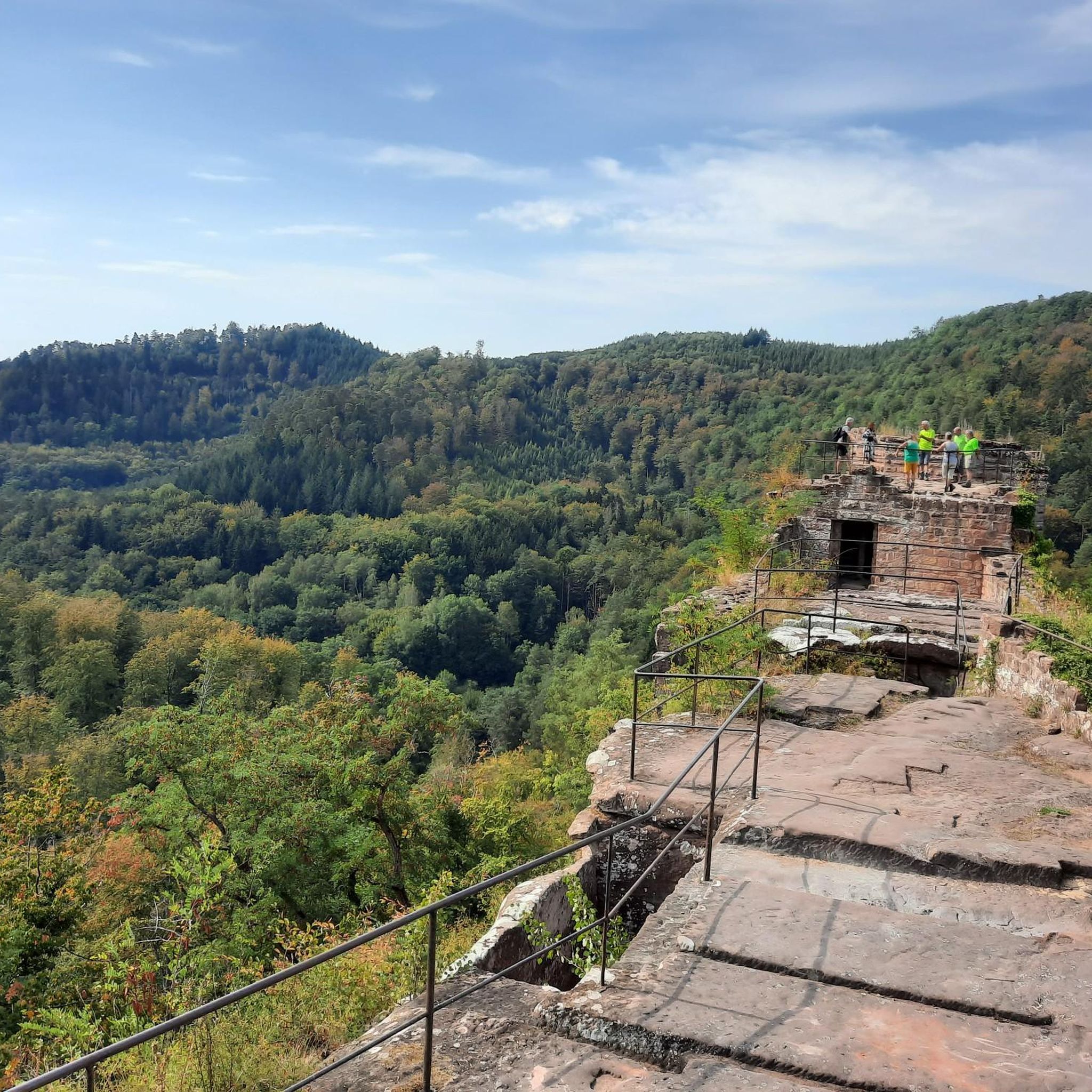
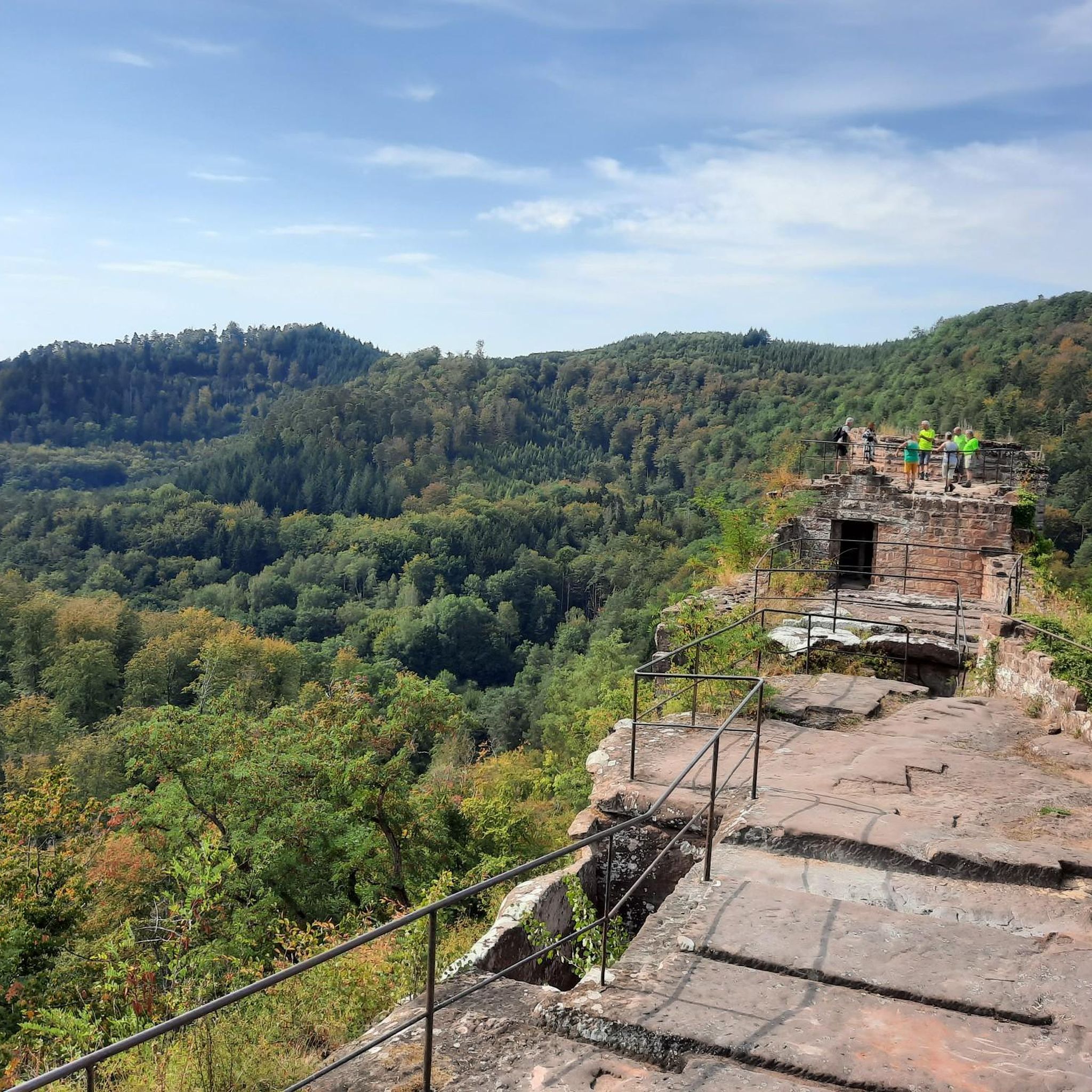
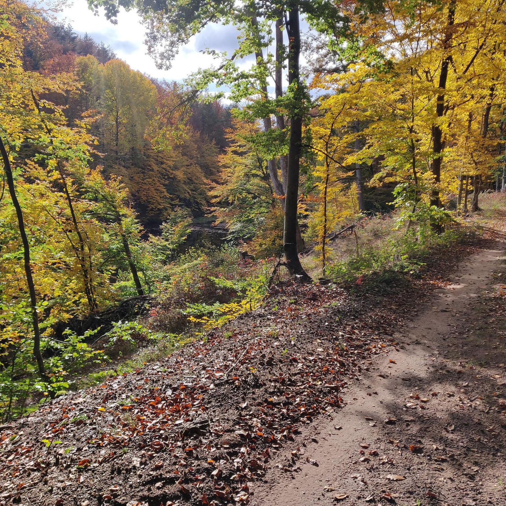
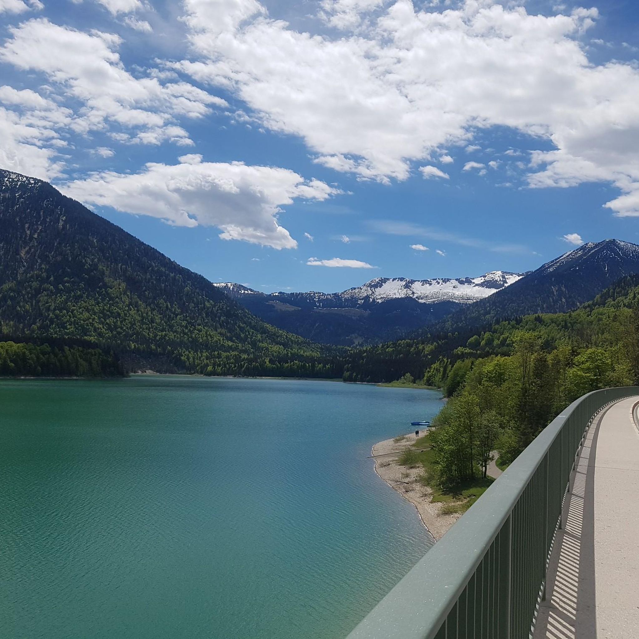
Other adventures around Niedersteinbach

Tips from the Community

Along the Lauter there are many alleys and paths that repeatedly offer beautiful views of the river and the half-timbered houses of the old town of Wissembourg.
3
0

The Jungfernsprung. An imposing viewing rock and visible from afar.
2
0

Very beautiful lake with wonderful water lilies and many frogs in early summer - also accessible in winter.
0
0

Cool rock formation in the Dahner Felsenland.
1
0

It's worth taking a look at the Lauter from the many bridges. The perspectives are always different.
8
0

Komoot seems to have thrown together a few highlights. It's best to withdraw your photos. Mine was originally titled "View of the Jungfernsprung."
0
0

Ms. Fath is, of course, right: That's the Jungfernsprung in Dahn! Lug, and thus also the Luger Geiersteine, are 29 km away from the Jungfernsprung by car, 13 km by bike, and 11.5 km on foot, and are also located in a different municipality.
0
0

In Dahn, it's impossible to see the Luger Geiersteine! It must be called Jungfernsprung.
1
0
Frequently Asked Questions
How many gravel bike trails are available around Niedersteinbach?
There are over 45 gravel bike routes in the Niedersteinbach area, offering a wide range of options for different skill levels and preferences. Most of these routes are considered difficult, with a few moderate and one easy option available.
Are there any easy or beginner-friendly gravel bike routes in Niedersteinbach?
While most routes in Niedersteinbach are challenging, there is one route specifically categorized as easy. For those looking for a slightly less demanding ride, there are also 11 moderate routes that offer a good balance of challenge and accessibility.
What kind of terrain can I expect on gravel bike trails around Niedersteinbach?
The terrain around Niedersteinbach is characterized by a mix of dense forests, rolling hills, and scenic valleys. You'll encounter forest tracks, dedicated gravel paths, and some paved sections. The landscape also features numerous rock formations, natural ponds, and streams, providing a diverse and engaging riding experience.
Are there any loop gravel bike routes in the Niedersteinbach area?
Yes, many of the gravel bike routes around Niedersteinbach are loops. For example, the challenging Königsbruch – Col du Schaufelshald loop from Niedersteinbach covers 46.1 km through varied forest and hill terrain. Another option is the Wolfsägertal Ponds – Moosbach Valley loop from Fischbach bei Dahn, which winds through valleys and past natural ponds.
What are some notable viewpoints or natural attractions along the gravel bike trails?
The region offers several stunning viewpoints and natural attractions. You can find panoramic views from Krappenfels or the Jüngstbergkanzel Viewpoint. Historic sites like Wegelnburg Castle Ruins and Hohenbourg Castle are also accessible, often providing great vistas. The Pfälzerwoog Lake – Klingelfels Rock Formation loop from Niedersteinbach specifically highlights a lake and a rock formation.
Are there any routes that pass by interesting rock formations?
Yes, the region is known for its distinctive rock formations. The Rock formation "Gypsy rock" – Hohe List Hiking Lodge loop from Ludwigswinkel is a challenging route that specifically features the "Gypsy rock." You can also find the Napoleon Rock as a natural monument in the area.
What do other gravel bikers say about the trails in Niedersteinbach?
The gravel bike trails in Niedersteinbach are highly rated by the komoot community, with an average score of 4.6 stars from over 30 reviews. Riders often praise the extensive forests, undulating hills, and the diverse environment that offers both challenging and relaxed routes.
Is Niedersteinbach suitable for advanced gravel bikers?
Absolutely. With 35 routes categorized as difficult, Niedersteinbach is an excellent destination for advanced gravel bikers. These routes often feature significant elevation gains and cover longer distances, such as the Col du Pigeonnier – View of the Lauter loop from Ludwigswinkel, which is 62.2 km long with 786 meters of elevation gain.
Are there any cafes or places to stop for refreshments near the gravel bike trails?
While specific cafes directly on every trail are not listed, the Niedersteinbach region, being part of the Palatinate Forest and Vosges du Nord Regional Nature Park, typically has small villages and towns nearby where you can find local eateries and cafes. Planning your route to pass through these settlements is recommended for refreshment stops.
What is the best time of year for gravel biking in Niedersteinbach?
The region's dense forests and varied terrain make it enjoyable throughout much of the year. Spring and autumn offer pleasant temperatures and beautiful scenery with changing foliage. Summer can be warm but the forest sections provide shade. Winter riding is possible, though conditions may vary with snow or ice, especially on higher elevations and less maintained paths.
Can I find routes that feature natural water elements like ponds or streams?
Yes, the landscape around Niedersteinbach is rich with natural water features. The Wolfsägertal Ponds – Moosbach Valley loop from Fischbach bei Dahn is a prime example, winding through valleys and past several natural ponds. Many other routes will also follow streams or pass by small lakes within the forested areas.
Most popular routes around Niedersteinbach
Most popular attractions around Niedersteinbach

Get inspired with the komoot mobile app


Explore more
Browse the best Gravel rides in other regions.
