The best gravel rides around Hohwald
4.3
(16)
191
riders
45
rides
Gravel biking around Hohwald offers diverse terrain within the Vosges mountains of Alsace, France, with altitudes ranging from 600 to 1,100 meters. The region is characterized by dense pine forests, picturesque valleys, and varied elevation, providing both challenging climbs and exhilarating descents. Riders encounter a mix of paved and unpaved surfaces, including wide forest roads and narrower paths, ideal for gravel cycling. This topography creates a dynamic environment for exploration on two wheels.
Best gravel bike trails around Hohwald
- The…
Last updated: July 3, 2026
3.0
(1)
19
riders
73.7km
06:09
1,800m
1,800m
Hard gravel ride. Very good fitness required. You may need to push your bike for some segments of this route.
2.0
(1)
29
riders
52.6km
03:12
460m
450m
Hard gravel ride. Very good fitness required. Mostly paved surfaces. Suitable for all skill levels.

Sign up for free
5.0
(3)
10
riders
45.9km
04:06
1,140m
1,140m
Hard gravel ride. Very good fitness required. Mostly paved surfaces. Suitable for all skill levels.
5.0
(2)
24
riders
87.2km
05:30
1,070m
1,080m
Hard gravel ride. Very good fitness required. Mostly paved surfaces. Suitable for all skill levels.
5.0
(1)
6
riders
29.5km
02:22
710m
710m
Hard gravel ride. Very good fitness required. Mostly paved surfaces. Suitable for all skill levels.
Get access to more routes and recommendations from other explorers.
Sign up for free
Already have an account?
Our route recommendations are based on thousands of hikes, rides, and runs completed by other people on komoot.
Start today with a free account
Your next adventure awaits.
Login or Signup
Popular around Hohwald

Sentier de l'Europe (GR 5) – Montbéliard to Abreschviller
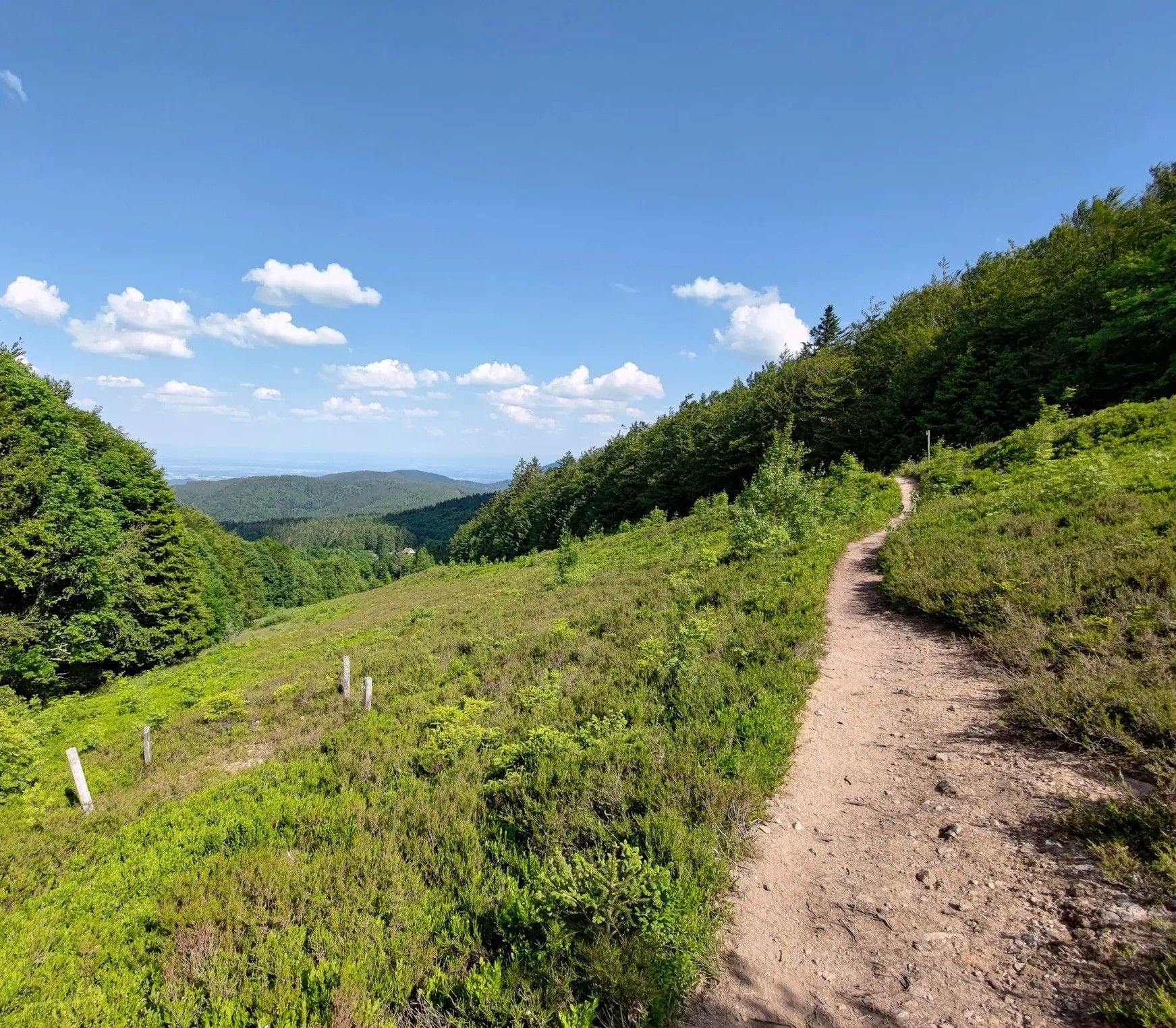
From one slope to the other – Crossing the Champ du Feu
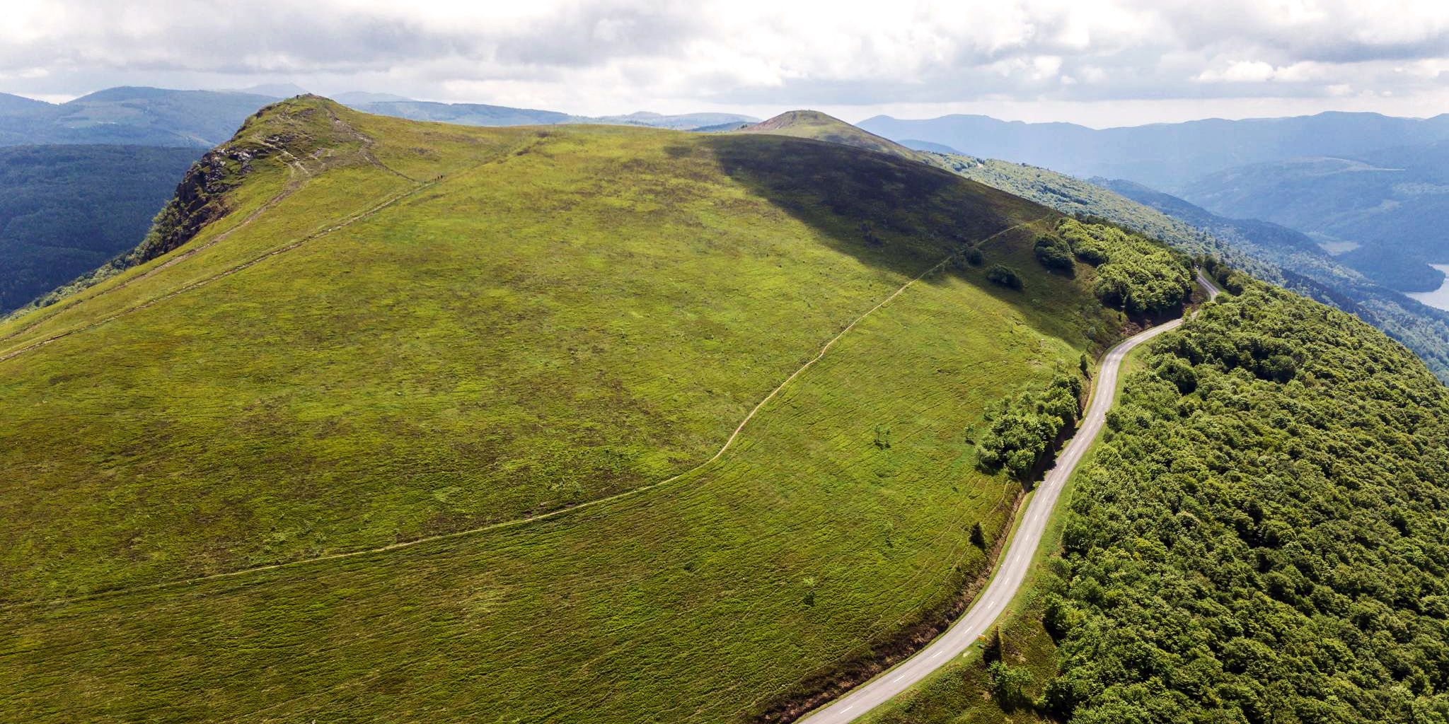
Beautiful passes In the Vosges Mountains
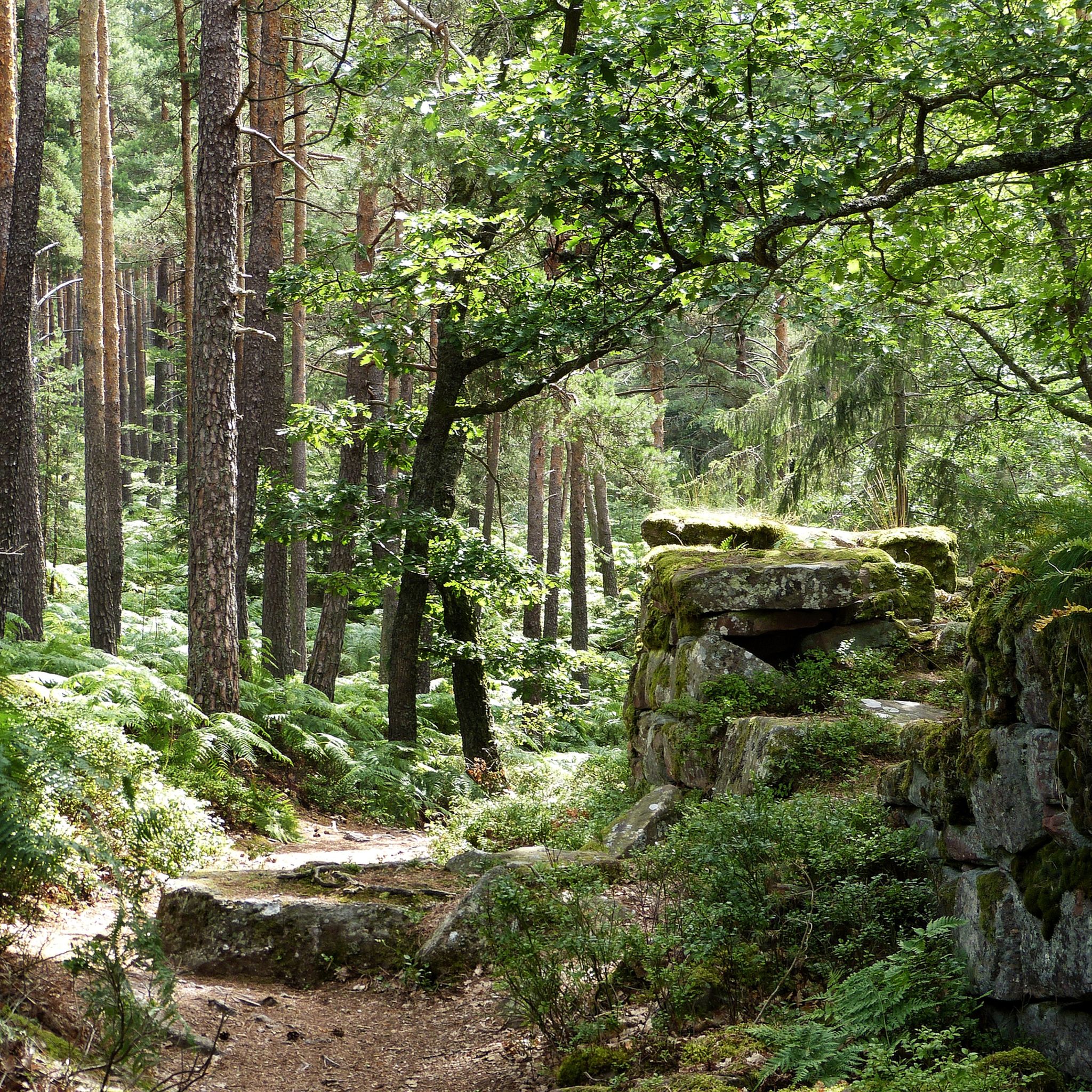
Hiking around Hohwald
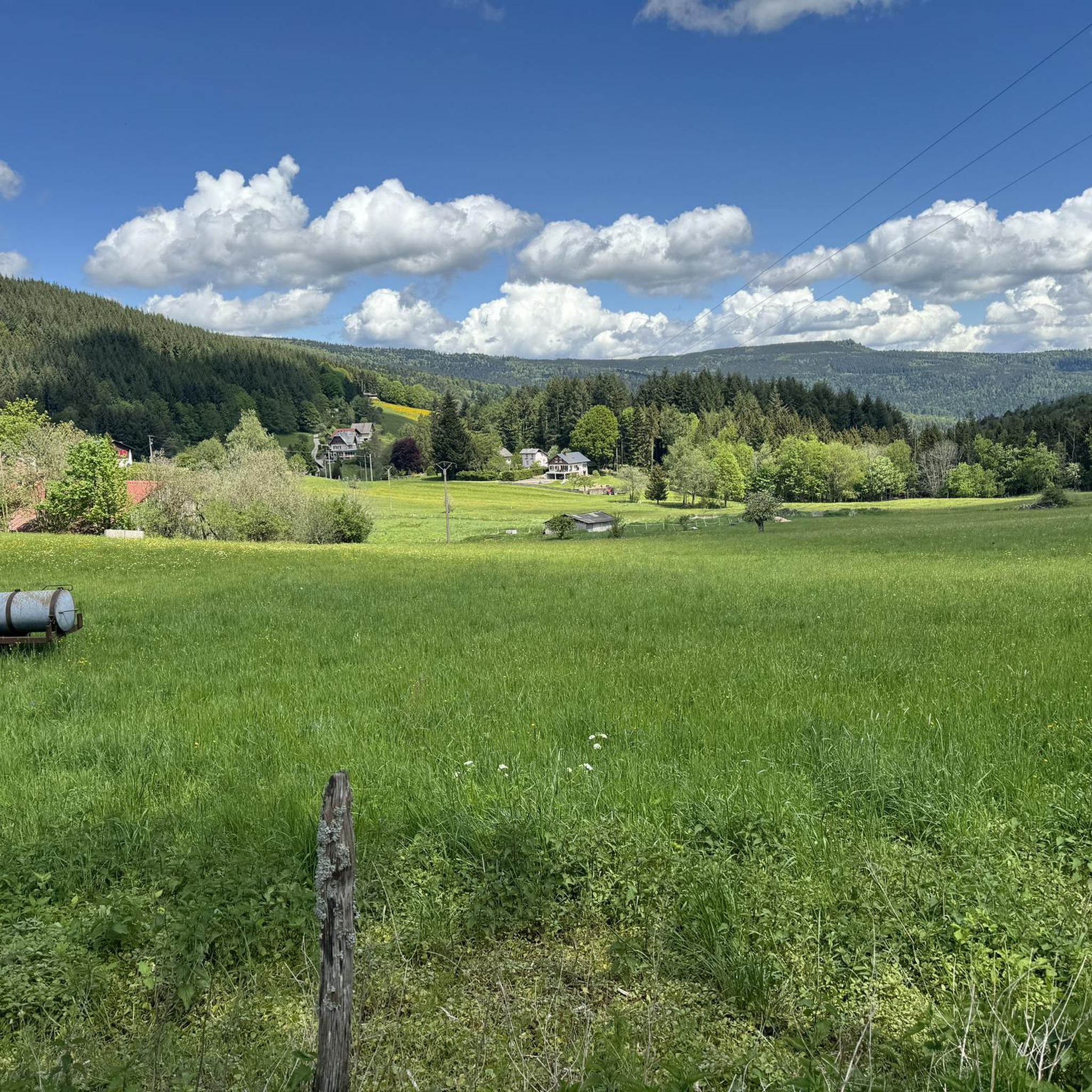
MTB Trails around Hohwald
Running Trails around Hohwald
Cycling around Hohwald
Road Cycling Routes around Hohwald
Mountain Hikes around Hohwald


Tips from the Community

Champ du Feu, at 1099 meters, is the highest mountain in the Bas-Rhin department of the Vosges in Alsace. It lies between the towns of Belmont and Le Hohwald and consists of an extensive high plateau with forests, meadows, and moorlands. The area is a popular nature and recreational area. In summer, it is mainly used for hiking, mountain biking, and nature observation. In winter, there is a small ski area with cross-country trails and simple slopes for winter sports. The brook La Serva originates from Champ du Feu, later forming the Cascade de la Serva. In clear weather, the summit offers wide views over the Vosges, the Rhine plain, and as far as the Black Forest. The area is particularly known for its tranquil nature, high moors, sunrises and starry skies, as well as well-marked hiking trails.
0
0
The Champ du Feu, at 1099 meters, is the highest mountain in the Bas-Rhin department in the Vosges in Alsace. It is located between the towns of Belmont and Le Hohwald and consists of a vast plateau with forests, meadows, and moorlands. The area is a popular nature and recreational area. In summer, it is mainly used for hiking, mountain biking, and nature observation. In winter, there is a small ski area with cross-country trails and simple slopes for winter sports. From the Champ du Feu, the La Serva stream originates, which later forms the Cascade de la Serva. In clear weather, the summit offers wide views over the Vosges, the Rhine plain, and even the Black Forest. The area is particularly known for its quiet nature, high moors, sunrises and starry skies, as well as well-marked hiking trails.
0
0

abandoned road with beautiful view.
0
0

Beautiful little village on the way to Santiago de Compostela coming from Germany.
0
0


That was a great view of Andlau
1
0

Andlau was founded in 880 by Empress Richardis. She had been banished by her husband, Emperor Charles III, and was later canonized. Her tomb in Andlau became a place of pilgrimage. According to legend, a wild bear showed her the perfect spot (Wikipedia). Wonderful Crus are produced from the vineyards here.
5
0
Frequently Asked Questions
How many gravel bike trails are available in Hohwald?
Hohwald offers a wide selection of gravel biking routes, with over 60 trails available for exploration. These routes vary in difficulty, catering to different skill levels.
Are there gravel biking routes suitable for beginners or families in Hohwald?
While many routes in Hohwald are rated moderate to difficult due to the mountainous terrain, there are some options that are less challenging. For instance, the region features extensive forest paths that can be suitable for those looking for a more relaxed ride. It's always recommended to check the route details on komoot for elevation and surface information to find the best fit for your family or skill level.
What kind of terrain can I expect on Hohwald's gravel bike trails?
The gravel bike trails in Hohwald offer a dynamic mix of surfaces. You'll encounter wide, gravelly forest paths, narrower technical sections, and some paved segments. The region's mountainous character, with altitudes ranging from 600 to 1,100 meters, means you can expect varied elevation, including both challenging climbs and exhilarating descents through dense pine forests and picturesque valleys.
Are there any natural attractions or viewpoints along the gravel trails in Hohwald?
Yes, Hohwald is rich in natural beauty. A prominent natural attraction is the Hohwald Waterfall (Cascade d'Andlau), which is over 15 meters high and easily accessible, offering a refreshing stop. You can also ride towards the Kreuzweg Pass, which provides unobstructed views amidst the forest. Other notable viewpoints include Heidenkopf and the Hering Tower on Ungersberg.
Can I visit any historic sites or charming villages while gravel biking in Hohwald?
Absolutely. The region around Hohwald, particularly the surrounding Pays de Barr area, is dotted with historic sites and picturesque villages. You can incorporate visits to charming towns like Barr, Andlau, and Mittelbergheim into your rides. Additionally, the area features ruins of fortified castles such as Bernstein, Haut-Andlau, Spesbourg, and Landsberg. For example, the Mount Sainte-Odile – Bernstein Castle loop from Nothalten explores mountainous terrain and passes by historic castle ruins.
What do other gravel bikers enjoy most about the trails in Hohwald?
The gravel biking routes in Hohwald are highly rated by the komoot community, with an average score of 4.5 stars from over 30 reviews. Riders frequently praise the extensive network of forest paths, the varied mountainous terrain, and the opportunity to discover historic sites like fortified castles. The blend of challenging rides and breathtaking scenery through dense forests is a common highlight.
Where can I find parking for gravel bike trails in Hohwald?
Hohwald is a popular outdoor destination, and parking is generally available in and around the main villages and trailheads. Specific parking information can often be found in the detailed descriptions of individual routes on komoot, or by checking local tourism resources for designated parking areas near trail access points.
Are there any challenging gravel biking routes for experienced riders in Hohwald?
Yes, Hohwald offers numerous challenging routes for experienced gravel bikers. Many of the 60+ trails are rated as 'difficult,' featuring significant elevation changes and varied terrain. Routes like the Ribeauvillé – Ribeauvillé Old Town loop from Château du Bernstein, which is 53.8 miles (86.7 km) long, or the Kreuzweg Pass – Champ du Feu loop from Epfig, are popular among those seeking a demanding ride through forests and over mountain passes.
Are there places to eat or drink near the gravel biking routes in Hohwald?
Yes, you'll find options for refreshments. The charming villages in the Pays de Barr area, such as Barr, Andlau, and Mittelbergheim, offer various cafes and restaurants. Additionally, some routes might pass by mountain inns or refuges. For example, the Rothlach Inn is a highlight in the area, and the Charbonnière Pass also has facilities.
How do winter conditions affect gravel biking in Hohwald?
During winter, Hohwald's mountainous terrain, ranging up to 1,100 meters, can experience snow and ice. While some lower elevation forest paths might remain rideable, higher passes and more technical sections could become challenging or impassable due to snow cover. It's advisable to check local weather forecasts and trail conditions before heading out in winter, and to be prepared for colder temperatures and potentially slippery surfaces.
What is the best time of year for gravel biking in Hohwald?
The best time for gravel biking in Hohwald is typically from spring through autumn. During these seasons, the weather is generally milder, and the trails are more accessible. Spring brings lush greenery, while autumn offers stunning fall foliage, making for particularly scenic rides. Summer is also excellent, though some routes might be more popular, and it's wise to carry enough water.
Are there any specific passes or peaks I can reach on a gravel bike in Hohwald?
Yes, the Hohwald region is known for its mountain passes and peaks that are accessible by gravel bike. You can ride to the Kreuzweg Pass (Col du Kreuzweg) at 768 meters, offering great views. Other notable passes include Charbonnière Pass, Col de Steige, and Salcée Pass. For peaks, Champ du Feu is a prominent summit in the area.
Most popular routes around Hohwald
Most popular attractions around Hohwald

Get inspired with the komoot mobile app


Explore more
Browse the best Gravel rides in other regions.
