The best gravel rides around Osthausen
4.4
(14)
62
riders
21
rides
Gravel biking around Osthausen is characterized by its flat terrain, primarily following river landscapes, floodplains, and canals. The region features numerous bridges and nature reserves, offering varied scenery for gravel cyclists. Elevation gains are minimal, with most routes remaining below 100 meters, making it suitable for less strenuous rides. The landscape is dominated by water features and open areas, providing a distinct gravel biking experience.
Best gravel bike trails around Osthausen
- The most popular gravel bike trail is Taubergießen Floodplain – Taubergießen River Landscape loop from Rhinau, a 9.7 miles (15.5 km) trail that takes 45 minutes to complete. This route winds through the Taubergießen Floodplain and along the river landscape.
- Another top favourite among local gravel bikers is Rhinau–Kappel Ferry – Taubergießen Nature Reserve loop from Rhinau, a moderate 21.4 miles (34.5 km) path. This trail leads through the Taubergießen Nature Reserve.
- Local gravel bikers also love the Taubergießen Nature Reserve – Rhinau–Kappel Ferry loop from Rhinau, a 33.5 miles (54.0 km) trail leading through the Taubergießen Nature Reserve, often completed in about 2 hours 59 minutes.
- Gravel biking around Osthausen is defined by river landscapes, extensive floodplains, and canal-side paths. The network offers options for different ability levels, from easy rides to more challenging routes.
- The routes in Osthausen are highly rated by the komoot community with an average score of 4.9 stars from over 10 reviews. More than 80 gravel bikers have used komoot to explore Osthausen's varied terrain.
Last updated: July 3, 2026
4.7
(3)
10
riders
Easy gravel ride. Great for any fitness level. Mostly paved surfaces. Suitable for all skill levels.
5.0
(2)
8
riders
Easy gravel ride. Great for any fitness level. Mostly paved surfaces. Suitable for all skill levels.

Sign up for free
4.8
(4)
8
riders
53.9km
02:57
100m
100m
Moderate gravel ride. Good fitness required. Mostly paved surfaces. Suitable for all skill levels.
4.0
(1)
8
riders
Moderate gravel ride. Good fitness required. Mostly paved surfaces. Suitable for all skill levels.
3.0
(2)
5
riders
Hard gravel ride. Good fitness required. You may need to push your bike for some segments of this route.
Get access to more routes and recommendations from other explorers.
Sign up for free
Already have an account?
Our route recommendations are based on thousands of hikes, rides, and runs completed by other people on komoot.
Start today with a free account
Your next adventure awaits.
Login or Signup
Tips from the Community

Beautiful nature, calm, pleasant cycle paths
0
0

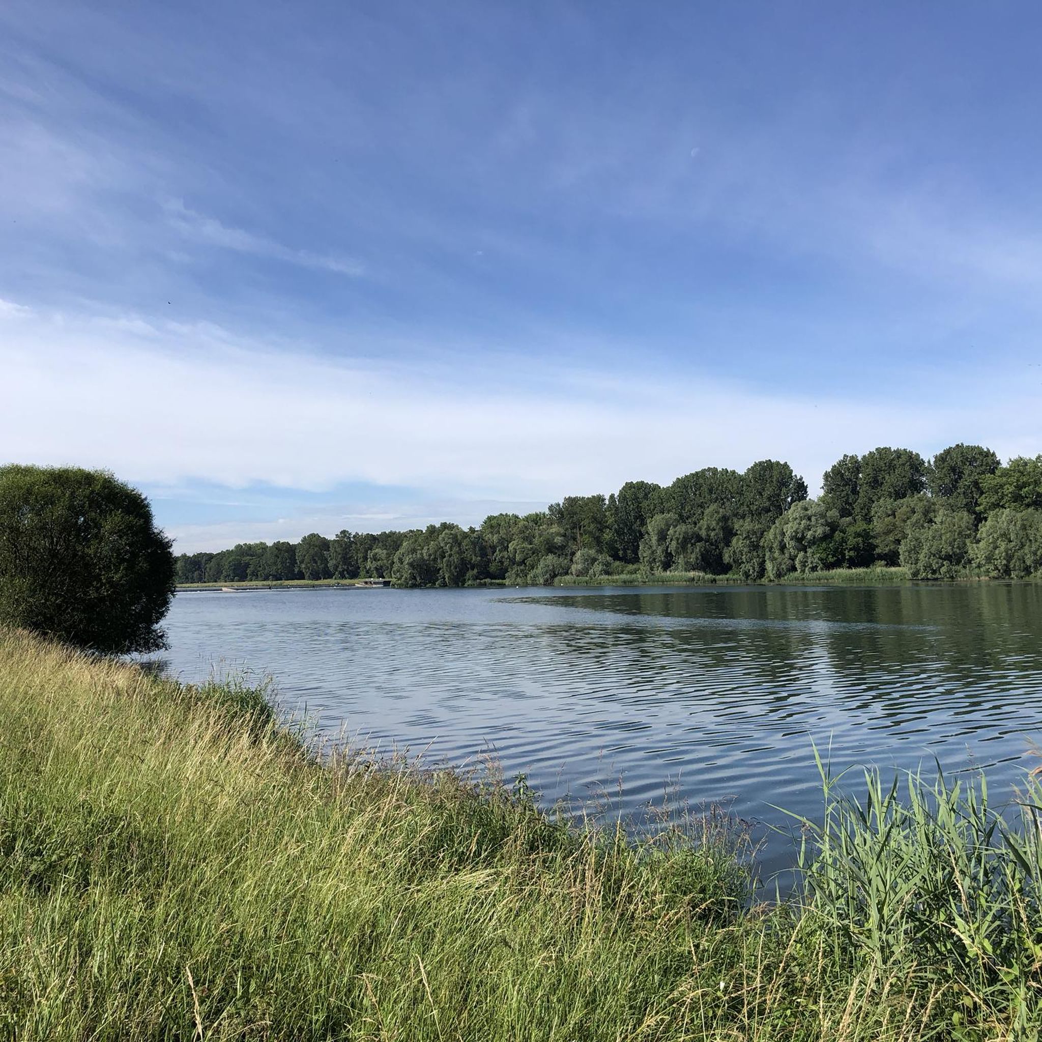
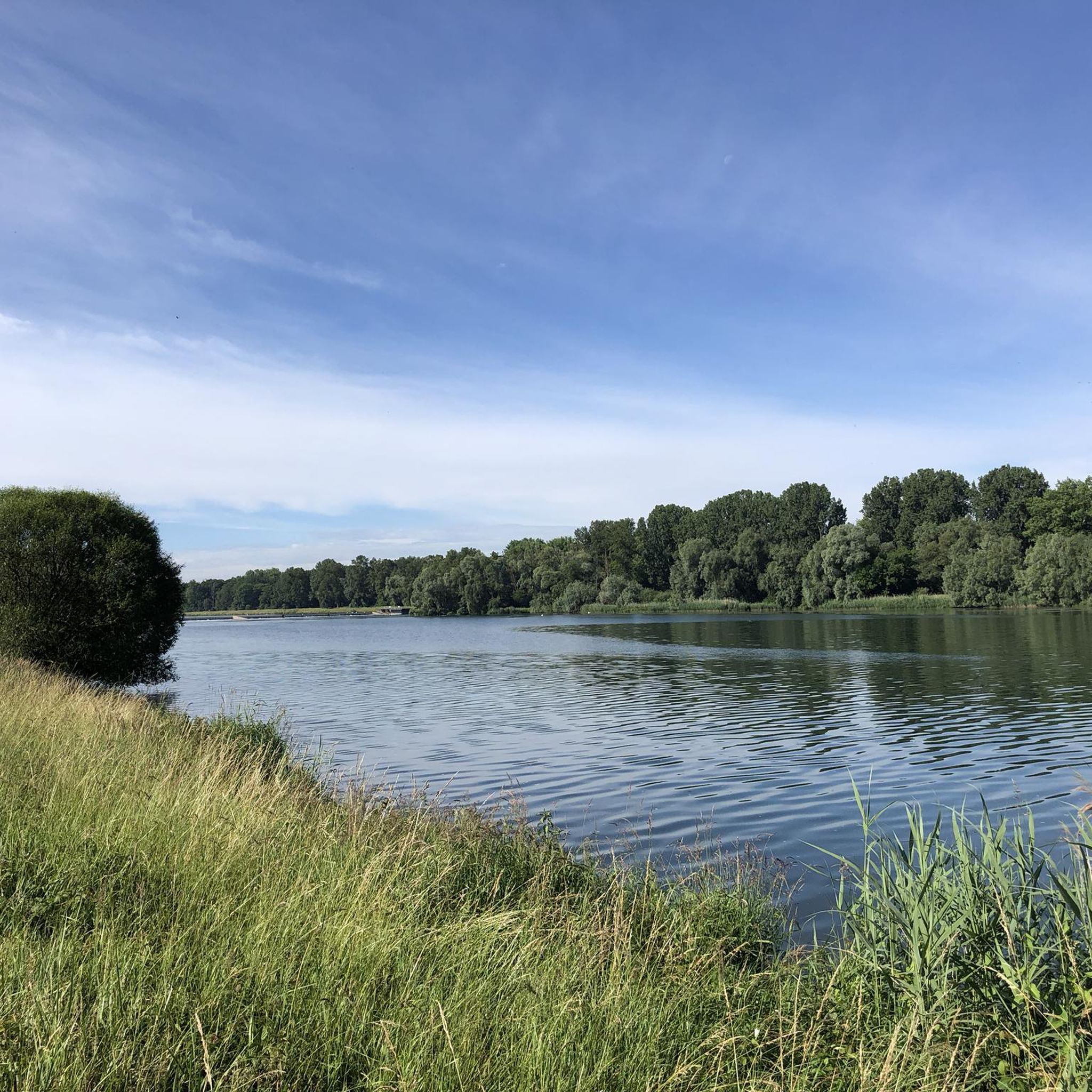
The Taubergießen nature reserve is a roughly 1,700-hectare floodplain and wetland area on the Upper Rhine between Freiburg and Offenburg. It consists of oxbow lakes, meadows, and riparian forests and is one of the largest and most ecologically valuable protected areas in Baden-Württemberg. The area is a habitat for many rare animal and plant species and is ideal for nature observation, hiking, and guided boat trips. 🌿🦆
0
0

An absolute natural idyll. Absolutely beautiful!!
1
0

Here you leave the long island and are, so to speak, on the French mainland.
0
0
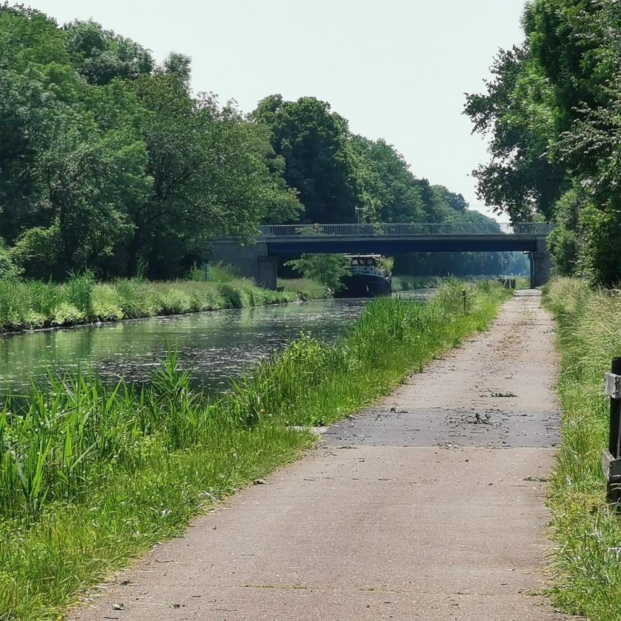
Locks are always interesting, especially when they're still working.
0
0
This way leads over to France - for cyclists only.
0
0
These boats are still sailing there, the locks are working 🤪
0
0
You drive through the deepest part of the Taubergießen nature reserve, and suddenly you're in a very idyllic place 😁
0
0
Frequently Asked Questions
How many gravel bike trails are available around Osthausen?
There are over 30 gravel bike trails around Osthausen, offering a variety of options for different skill levels. The region is known for its flat terrain, primarily following river landscapes, floodplains, and canals.
What is the general difficulty level of gravel biking in Osthausen?
The gravel biking routes around Osthausen cater to a range of abilities. You'll find 9 easy routes, 12 moderate routes, and 10 more challenging trails. The minimal elevation gains, mostly below 100 meters, make many routes suitable for less strenuous rides, while others offer longer distances for experienced riders.
Are there family-friendly gravel biking routes in Osthausen?
Yes, Osthausen offers several family-friendly gravel biking options, particularly due to its flat terrain and scenic river landscapes. Routes like the Taubergießen Floodplain – Taubergießen River Landscape loop from Rhinau, an easy 9.7-mile (15.5 km) path, are ideal for families looking for a relaxed ride through nature.
What kind of natural scenery can I expect on gravel bike trails near Osthausen?
Gravel bike trails near Osthausen are characterized by extensive river landscapes, floodplains, and canals. You'll encounter numerous bridges and pass through nature reserves, offering varied scenery dominated by water features and open areas. The Taubergießen Floodplain is a particularly notable natural highlight.
Are there any circular gravel bike routes in the Osthausen area?
Yes, many of the gravel bike routes around Osthausen are designed as loops, allowing you to start and finish in the same location. Examples include the André Bord Bridge – Footbridge of the Two Banks loop from Meißenheim and the Rhinau–Kappel Ferry – Taubergießen Nature Reserve loop from Rhinau.
What are some notable landmarks or points of interest along the gravel routes?
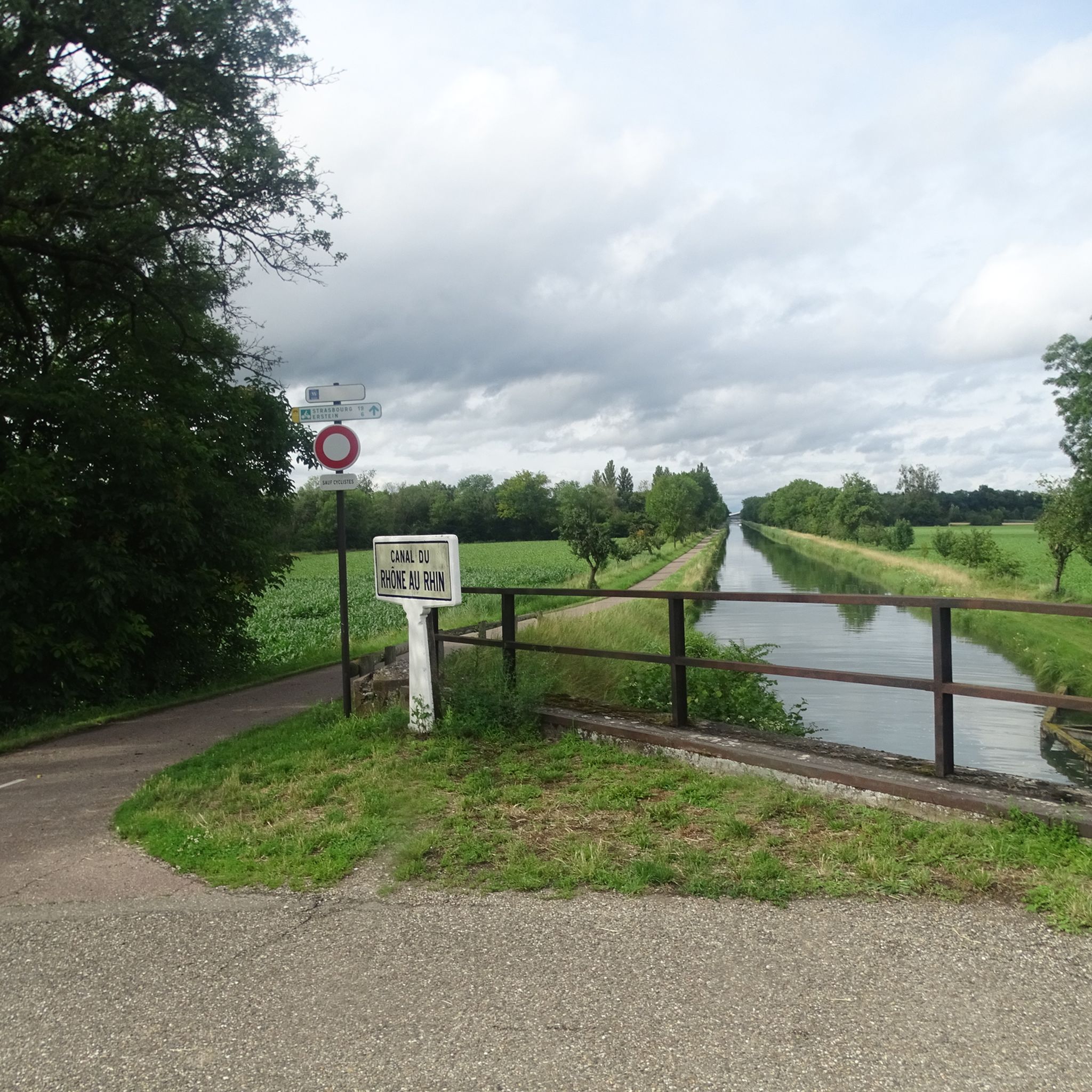
Along the gravel routes, you can explore various points of interest. The Free ferry 🇩🇪Kappel am Rhein–🇫🇷Rhinau offers a unique crossing experience. You'll also find the Canal du Rhône au Rhin Tree-Lined Path and the Canal du Rhône au Rhin Lock and Lockkeeper's House, showcasing the region's waterways and engineering.
What do other gravel bikers enjoy most about the trails in Osthausen?
The gravel biking experience in Osthausen is highly rated by the komoot community, with an average score of 4.9 stars from more than 10 reviews. Riders often praise the diverse river landscapes, extensive floodplains, and well-maintained canal-side paths, which provide a distinct and enjoyable gravel biking experience.
What is the best time of year for gravel biking around Osthausen?
The flat terrain and river-dominated landscape of Osthausen make it enjoyable for gravel biking during most of the year. Spring and autumn offer pleasant temperatures and beautiful scenery. Summer is also great, though some exposed sections might be warm. While winter riding is possible, be mindful of potential wet conditions in floodplains and along riverbanks.
Are there any longer gravel routes for experienced riders?
Yes, for experienced riders looking for longer distances, routes like the André Bord Bridge – Footbridge of the Two Banks loop from Meißenheim, which spans 40.5 miles (65.2 km), offer a substantial challenge. Another option is the Taubergießen Floodplain – Taubergießen River Landscape loop from Schwanau, covering 52.5 miles (84.4 km).
Where can I find parking for gravel biking routes in Osthausen?
Many gravel biking routes around Osthausen start from towns or accessible points like Meißenheim or Rhinau. These locations typically offer public parking facilities, often near the starting points of popular loops. It's advisable to check local parking options in the specific starting town for your chosen route.
Are there any routes that follow canals or rivers specifically?
Absolutely. The region is defined by its waterways. The Rhine Canal Cycle Path – Canal du Rhône au Rhin loop from Obenheim is a prime example, offering a ride directly along these significant canals and rivers.
Most popular attractions around Osthausen

Get inspired with the komoot mobile app


Explore more
Browse the best Gravel rides in other regions.
