The best gravel rides around Artolsheim
4.5
(38)
256
riders
38
rides
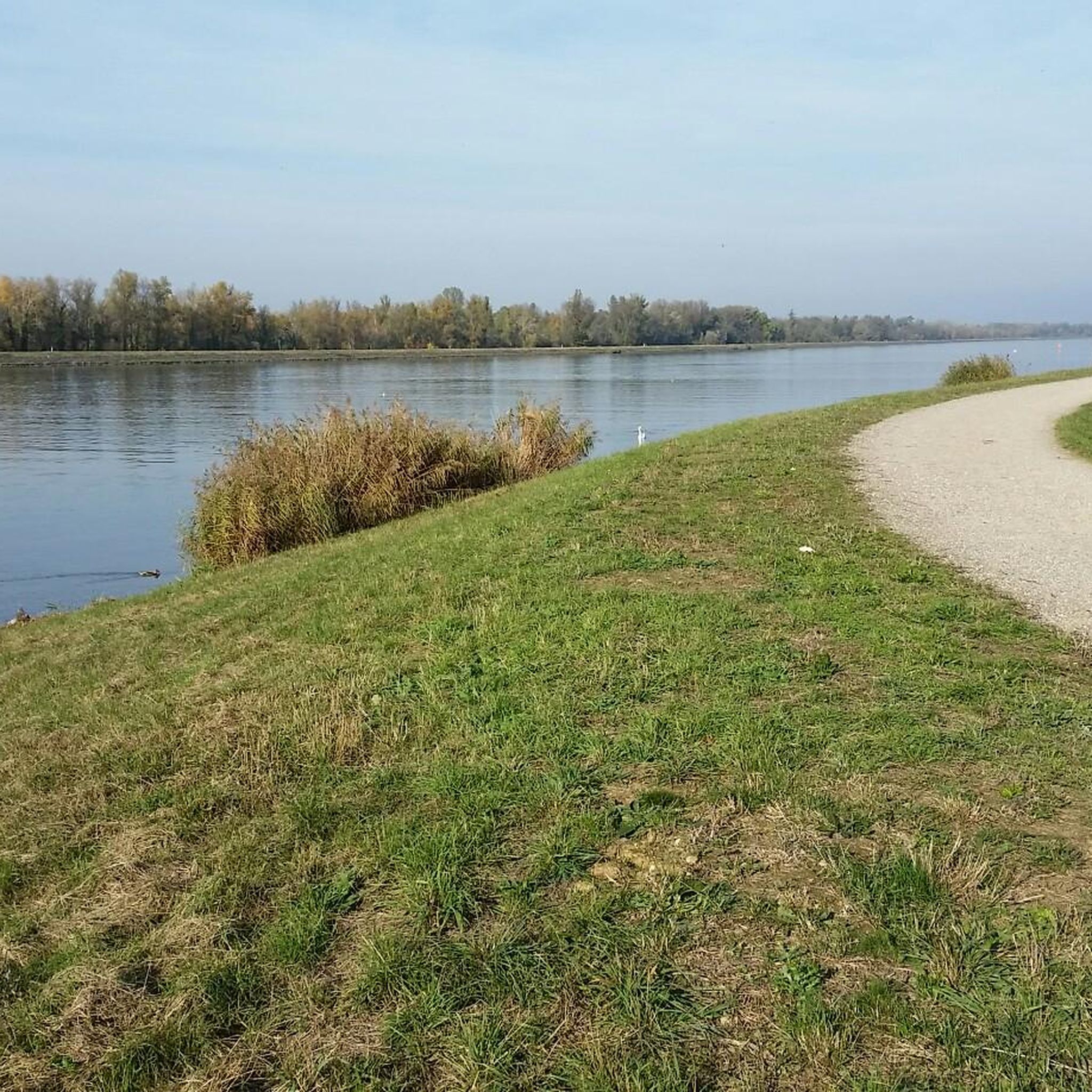
Gravel biking around Artolsheim offers routes primarily through the flat, riverine landscapes of the Rhine valley. The terrain is characterized by agricultural fields, riverside paths, and occasional historical points of interest. Most routes feature gentle gradients, making them accessible for various skill levels. The area provides opportunities to explore the region's natural and cultural features on gravel-friendly surfaces.
Best gravel bike trails around Artolsheim
- The most popular gravel bike trail is View of the Rhine weir – View of the Rhine loop from Sasbach am Kaiserstuhl, a 21.2 miles (34.1 km) trail that takes 2 hours 18 minutes to complete. This route offers views of the Rhine weir and surrounding river landscape.
- Another top favourite among local gravel bikers is View of the Rhine – Rhinau–Kappel Ferry loop from Rheinhausen, an easy 23.7 miles (38.2 km) path. This route includes a ferry crossing and follows the Rhine, providing open river scenery.
- Local gravel bikers also love the Burkheim Old Town – View of Burkheim Castle Ruins loop from Marckolsheim, a 40.8 miles (65.6 km) trail leading through historical areas and past castle ruins, often completed in about 3 hours 35 minutes.
- Gravel biking around Artolsheim is defined by riverine paths, agricultural fields, and historical sites. The network offers options for different ability levels, from easy riverside loops to longer routes exploring the wider region.
- The routes in Artolsheim are highly rated by the komoot community with an average score of 4.4 stars from more than 30 reviews. Nearly 300 gravel bikers have used komoot to explore Artolsheim's varied terrain.
Last updated: July 3, 2026
10
riders
41.0km
03:12
850m
850m
Hard gravel ride. Very good fitness required. Mostly paved surfaces. Suitable for all skill levels.
4.3
(4)
18
riders
Easy gravel ride. Great for any fitness level. Mostly paved surfaces. Suitable for all skill levels.

Sign up for free
5.0
(1)
4
riders
55.7km
03:20
380m
380m
Hard gravel ride. Good fitness required. You may need to push your bike for some segments of this route.
4.5
(2)
14
riders
41.2km
02:11
110m
110m
Moderate gravel ride. Good fitness required. Mostly paved surfaces. Suitable for all skill levels.
4.5
(2)
7
riders
Moderate gravel ride. Good fitness required. Mostly paved surfaces. Suitable for all skill levels.
Get access to more routes and recommendations from other explorers.
Sign up for free
Already have an account?
Our route recommendations are based on thousands of hikes, rides, and runs completed by other people on komoot.
Start today with a free account
Your next adventure awaits.
Login or Signup
Tips from the Community

The legendary pass on the Kaiserstuhl. A must for every road bike fan
0
0

Locks are always interesting, especially when they're still working.
0
0
This way leads over to France - for cyclists only.
0
0
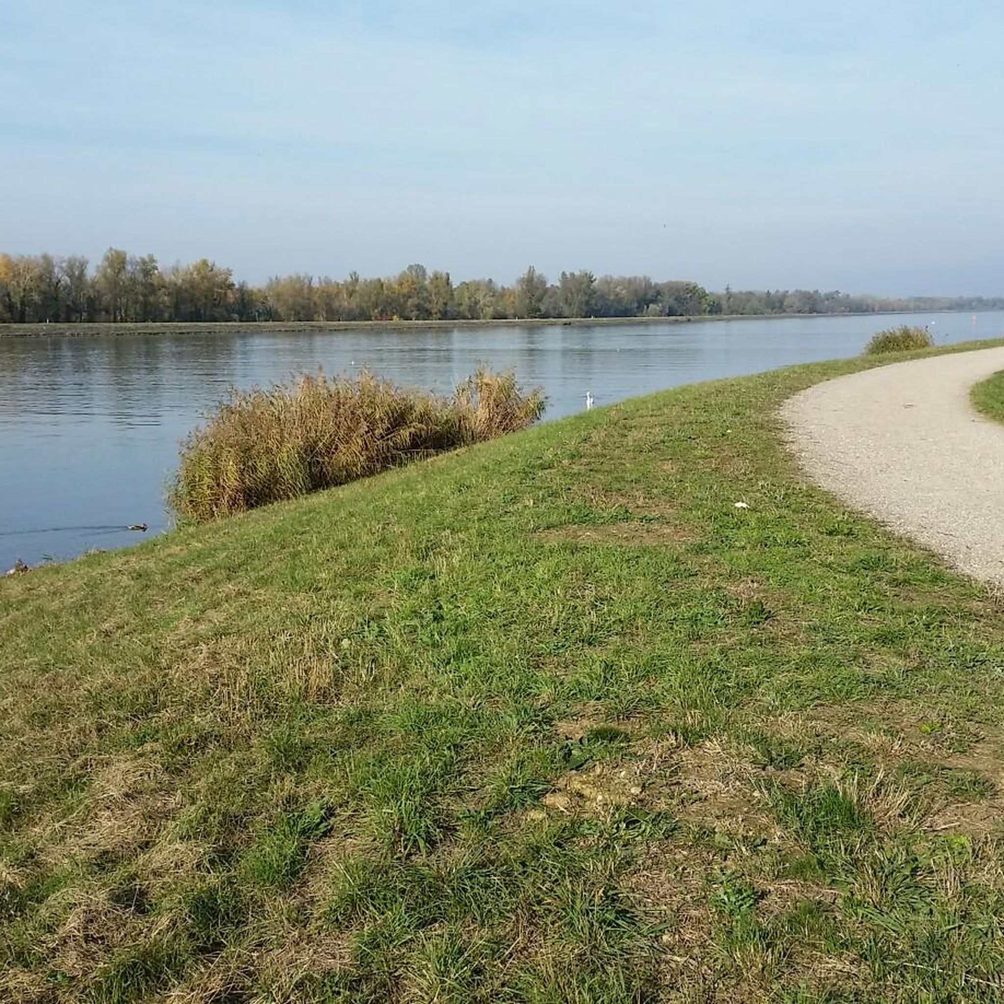
You drive through the deepest part of the Taubergießen nature reserve, and suddenly you're in a very idyllic place 😁
0
0
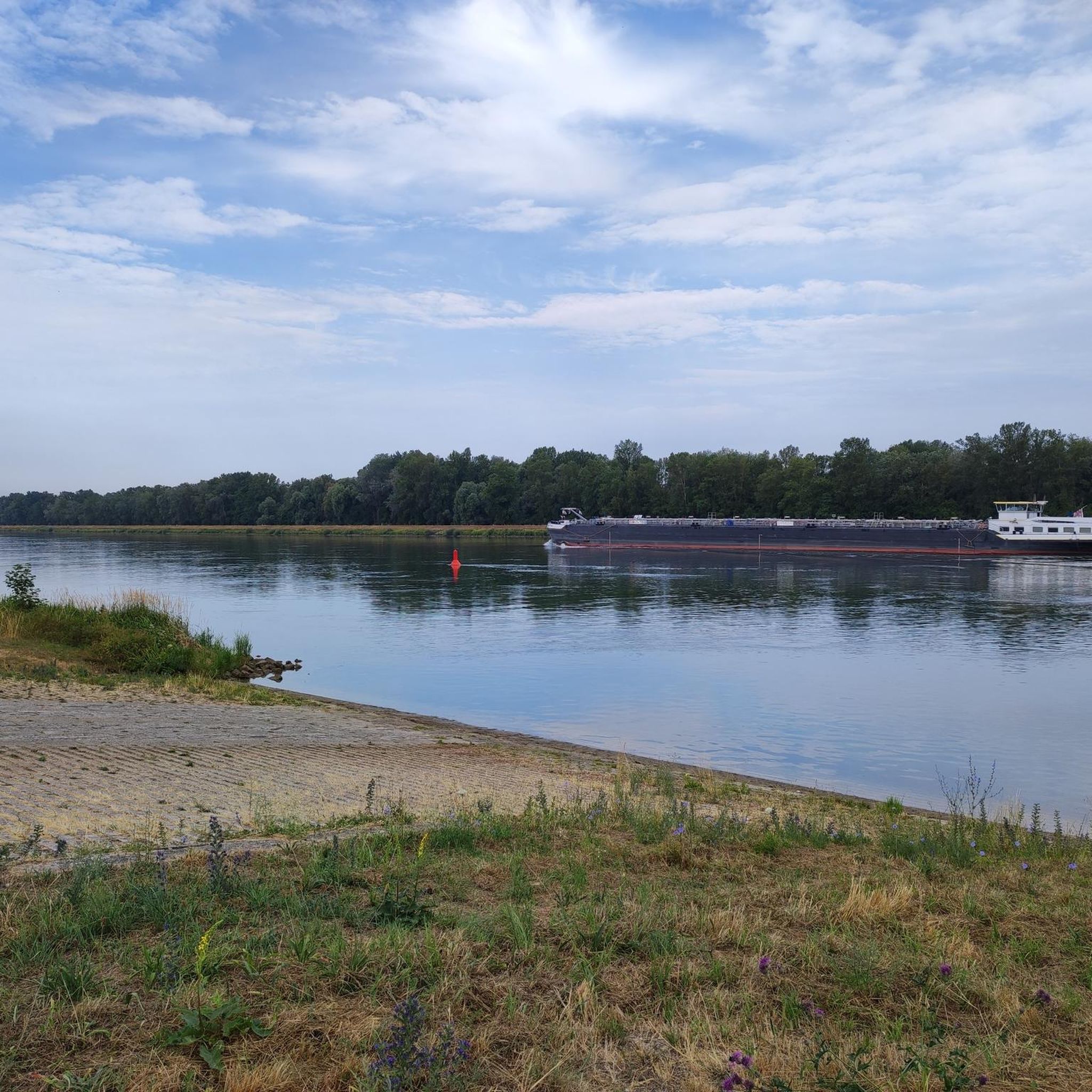
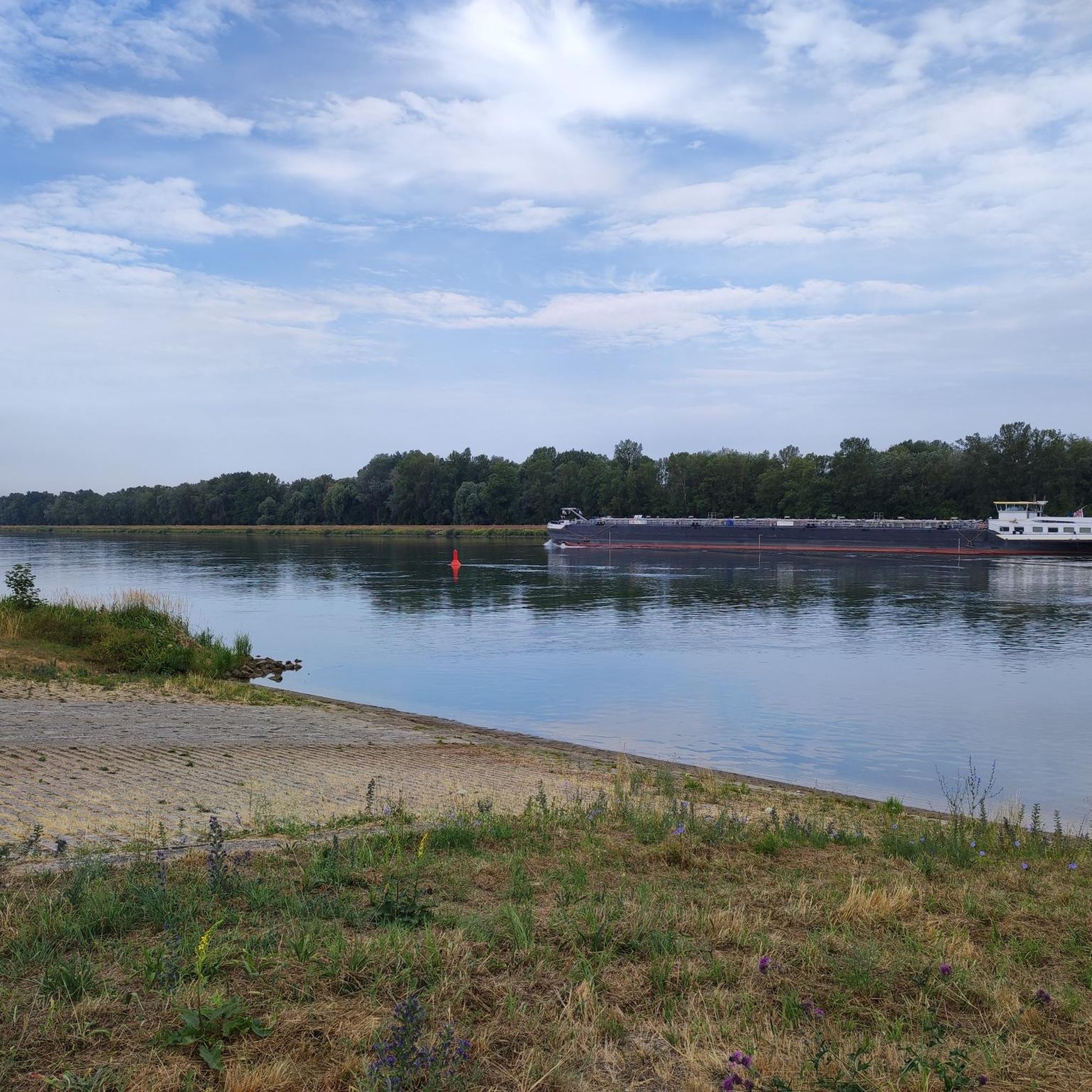
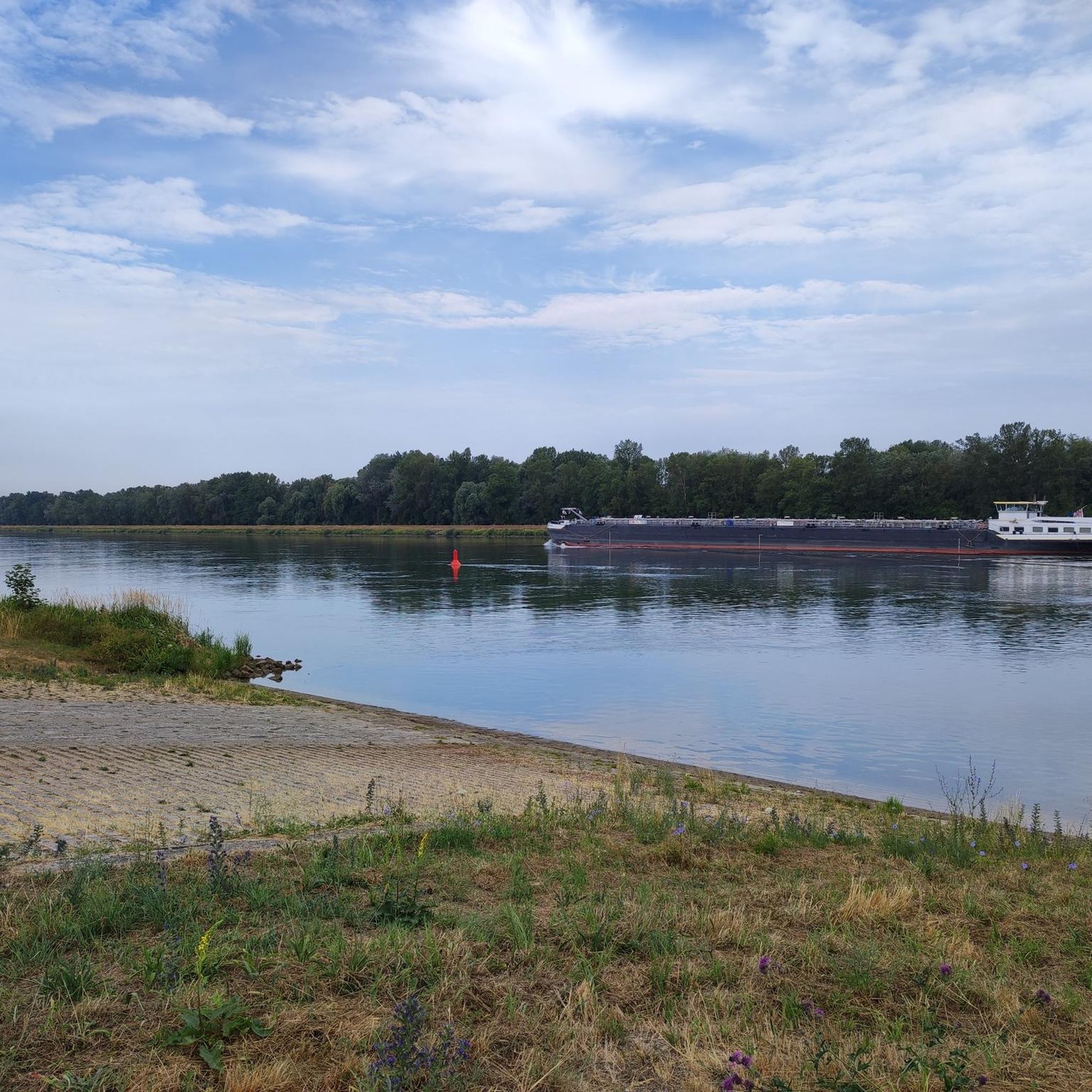
Leisurely cycling, watching "Schiffle" 🤪
0
0
It's simply wonderful to sit here "on the beach" on sunny days 😉
0
0

great view towards Schelingen
0
0

The first lord of the castle was Hildebrand Spenlin from Breisach. The word "Spenlin" means "little shavings" (from a plane). In Alemannic usage, Spenlin is called "Spänle." Without the diminutive, Span = Spon. The castle is mentioned in documents as Spenlins Eck, Span-Egge, or the Sponeck.
10
0
Frequently Asked Questions
What is the general difficulty level of gravel biking trails around Artolsheim?
The gravel biking trails around Artolsheim cater to a range of abilities. You'll find a good mix, with 7 easy routes, 30 moderate routes, and 13 more challenging options. The region's flat, riverine landscape generally means gentle gradients, making many trails accessible.
Are there beginner-friendly gravel bike routes in Artolsheim?
Yes, Artolsheim offers several beginner-friendly gravel bike routes. The terrain is largely flat, following riverine paths and agricultural fields, which is ideal for those new to gravel biking or looking for a relaxed ride. For example, the View of the Rhine – Rhinau–Kappel Ferry loop from Rheinhausen is an easy 23.7-mile (38.2 km) path that provides open river scenery.
What are the typical lengths of gravel bike trails around Artolsheim?
Gravel bike trails in the Artolsheim area vary in length, generally ranging from around 20 to 40 miles (30 to 65 km). For instance, the popular View of the Rhine weir – View of the Rhine loop from Sasbach am Kaiserstuhl is 21.2 miles (34.1 km), while the Burkheim Old Town – View of Burkheim Castle Ruins loop from Marckolsheim extends to 40.8 miles (65.6 km).
Where do the gravel bike trails around Artolsheim typically start?
Many gravel bike trails in the Artolsheim area start from nearby towns and villages, offering convenient access. Common starting points include Sasbach am Kaiserstuhl, Rheinhausen, Marckolsheim, Wyhl, and Königschaffhausen, as seen in routes like the Königschaffhauser Gate – Endingen Town Hall loop from Wyhl.
Are there family-friendly gravel bike trails in Artolsheim?
Given the predominantly flat terrain and gentle gradients of the Rhine valley, many of the easy and moderate gravel routes around Artolsheim are suitable for families. These paths often follow riverside trails or agricultural roads, providing a safe and enjoyable environment for riders of all ages.
What is the best time of year for gravel biking in Artolsheim?
The best time for gravel biking in Artolsheim is typically from spring through autumn. During these seasons, the weather is generally mild, and the paths are dry, making for comfortable riding conditions through the agricultural fields and along the Rhine. Winter can be ridden, but expect colder temperatures and potentially wet or muddy sections.
Are there circular gravel bike trails around Artolsheim?
Yes, many of the gravel bike trails around Artolsheim are designed as circular routes, allowing you to start and end at the same point. This is convenient for exploring the region without needing to arrange transport back. Examples include the Burkheim Old Town – View of Burkheim Castle Ruins loop from Königschaffhausen.
What kind of views or viewpoints can I expect on gravel bike trails near Artolsheim?
Gravel bike trails near Artolsheim offer scenic views primarily of the Rhine river and its floodplains, vast agricultural landscapes, and charming villages. You'll often encounter open vistas across the flat valley, with occasional glimpses of historical sites like castle ruins. Routes like the View of the Rhine weir – View of the Rhine loop from Sasbach am Kaiserstuhl specifically highlight river views.
Are there any interesting historical sites or landmarks along the gravel bike trails?
Yes, the Artolsheim area is rich in history, and several gravel routes pass by interesting landmarks. You can explore historical areas and castle ruins, such as those mentioned in the Burkheim Old Town – View of Burkheim Castle Ruins loop from Marckolsheim. Other notable historical highlights in the wider region include Sponeck Castle and the Burg Limberg Ruins.
What do other gravel bikers enjoy most about gravel biking in Artolsheim?
The Artolsheim area is highly rated by the komoot community, with an average score of 4.4 stars from over 30 reviews. Reviewers often praise the diverse terrain, which combines flat riverine paths with agricultural fields and historical points of interest, offering a varied and engaging experience for different skill levels.
Are there any gorges or unique geological features to explore near Artolsheim?
While the immediate Artolsheim area is flat, the wider region offers some unique geological features. You can find interesting loess hollow ways, such as the Loess Hollow Way in Kaiserstuhl and the Lösshohlweg at Schönenberg, which provide a different kind of natural exploration off the main gravel routes.
Most popular routes around Artolsheim
Most popular attractions around Artolsheim

Get inspired with the komoot mobile app


Explore more
Browse the best Gravel rides in other regions.
