The best gravel rides around Welschenkappel
4.4
(6)
22
riders
13
rides
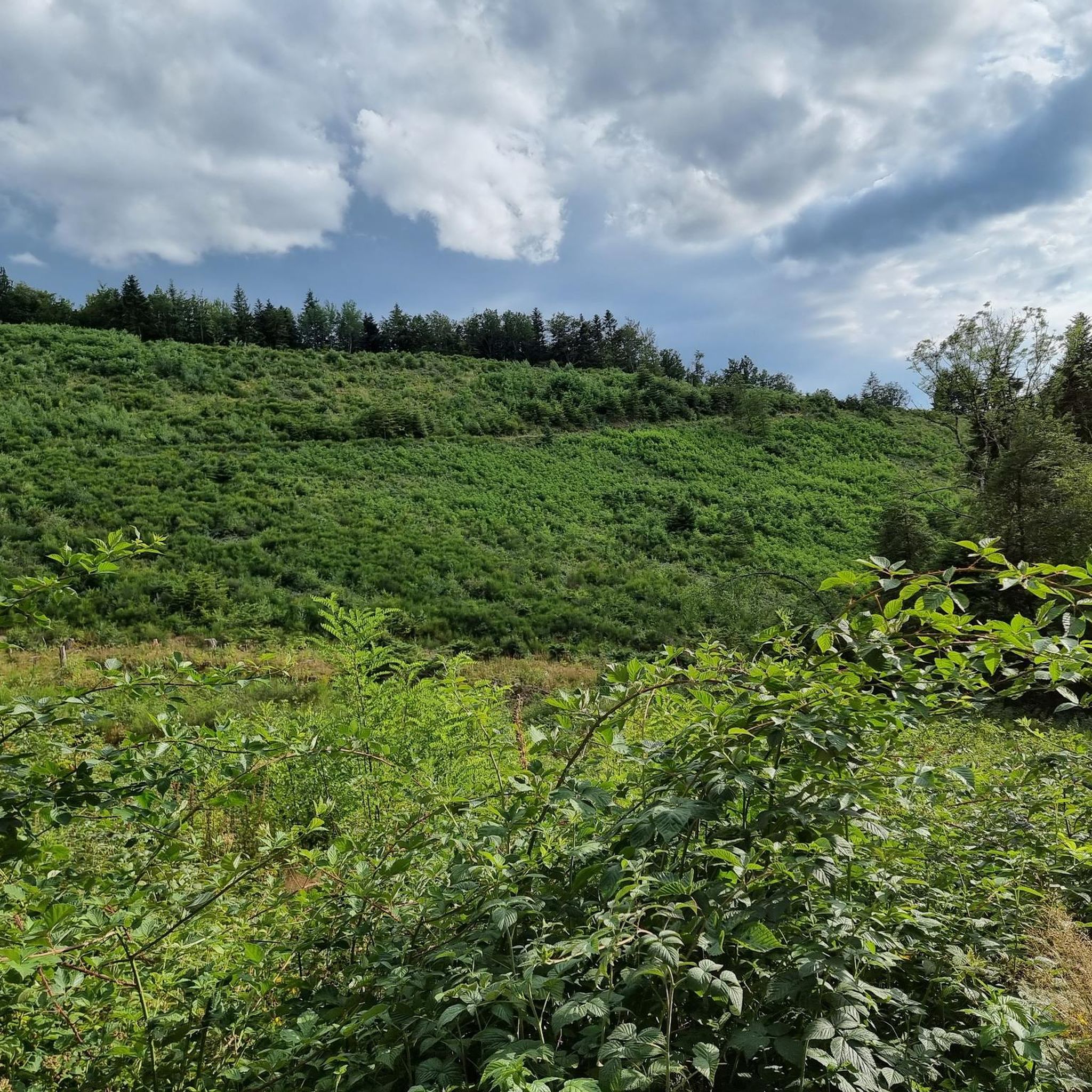
Gravel bike trails Welschenkappel offer a network of routes through varied terrain. The region features a mix of rolling hills and valleys, with some routes including moderate climbs. These paths provide opportunities for gravel bikers to explore the local landscape, which often includes forested sections and open areas. The elevation profiles of the routes indicate a diverse topography suitable for different skill levels.
Best gravel bike trails around Welschenkappel
- The most popular gravel bike trail is La porte d'Alsace,…
Last updated: July 3, 2026
3.8
(4)
6
riders
20.5km
01:30
90m
90m
Easy gravel ride. Great for any fitness level. Mostly paved surfaces. Suitable for all skill levels.
19.7km
01:27
170m
170m
Moderate gravel ride. Good fitness required. Mostly paved surfaces. Suitable for all skill levels.

Sign up for free
15.0km
01:14
180m
180m
Moderate gravel ride. Good fitness required. Some segments of this route may be unpaved and difficult to ride.
11.1km
00:55
110m
120m
Moderate gravel ride. Great for any fitness level. Some segments of this route may be unpaved and difficult to ride.
5.0
(2)
16
riders
67.9km
04:42
1,380m
1,380m
Hard gravel ride. Very good fitness required. Mostly paved surfaces. Suitable for all skill levels.
Get access to more routes and recommendations from other explorers.
Sign up for free
Already have an account?
Our route recommendations are based on thousands of hikes, rides, and runs completed by other people on komoot.
Start today with a free account
Your next adventure awaits.
Login or Signup


Tips from the Community

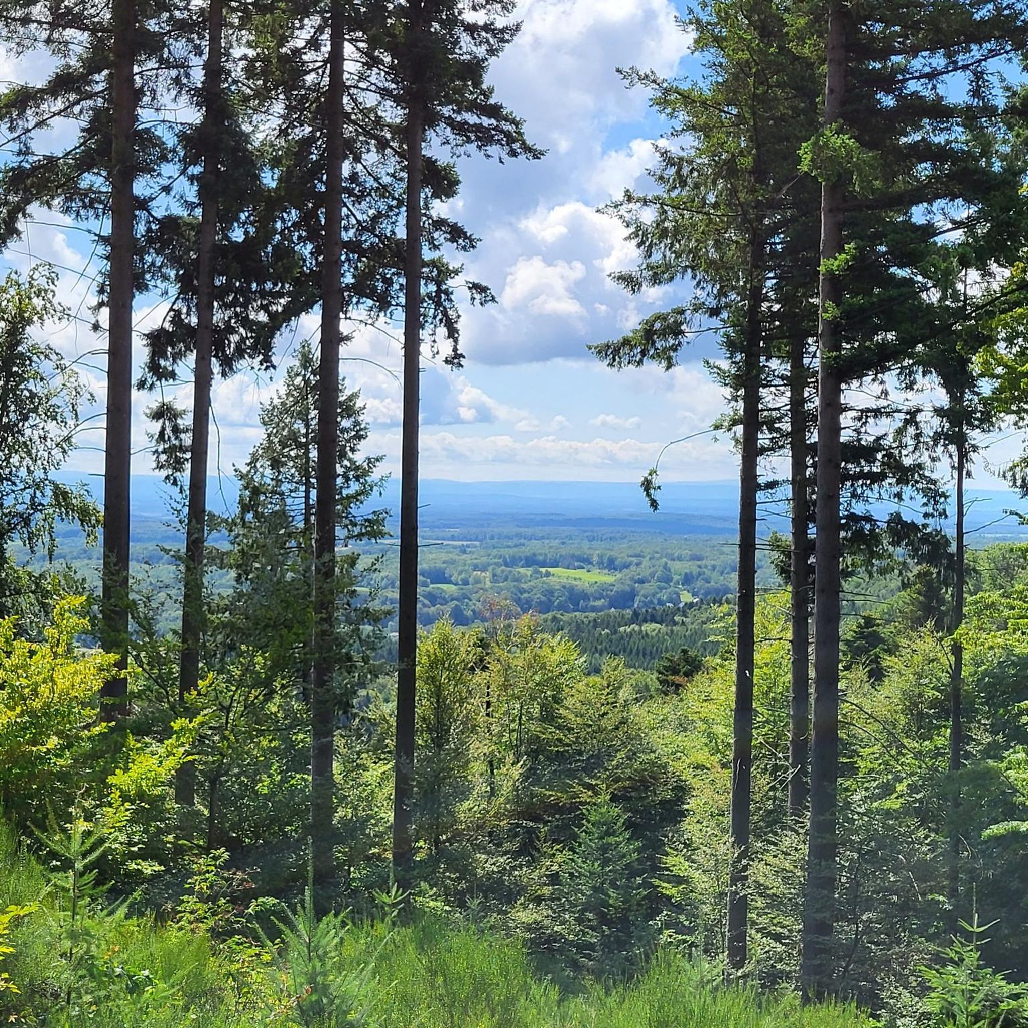
The Château du Herrenfluh is a medieval ruin at an altitude of 858 metres. It was built in 1312 by Johan von Sankt Amarin, nicknamed Nordwind, and served as a lookout post for the princes-abbatons of Murbach. Due to its strategic location, the castle offered a panoramic view over Alsace, all the way to the foothills of the Jura. In 1376, it was captured by English mercenaries and later, in 1468, destroyed by the Swiss. During the First World War, the site was again used as a French observation post. Today, some ruins are still visible, and volunteers are working to preserve the remains. It is an interesting historical site along the Route des Crêtes.
7
0

The climb of the Col Amic from Soultz-Haut-Rhin is a beautiful and accessible climb in the Vosges, ideal for cyclists who love regularity and nature. The climb is 12.1 km long, bridges 559 meters of altitude and has an average gradient of 4.6%. The route winds through a quiet, wooded area and offers beautiful views of the Alsatian plain along the way. The summit is at 829 meters and forms a junction towards the Grand Ballon or the Hartmannswillerkopf massif. Thanks to its even profile, this climb is suitable for both recreational cyclists and athletic climbers.
6
0

beautiful landscape, interesting locks, nice cycle path
0
2

On the Route des Crêtes, in a magnificent balcony section.
0
0

The small Alsatian town of Thann was first mentioned in documents in 1290 (city charter 1360). Three years earlier, however, a church was mentioned that was dedicated to Saint Theobald (Ubald of Gubbio, died 1160), the Bishop of Gubbio. A finger relic of him is venerated in the church, which miraculously arrived in the Vosges from Italy. Construction of the current collegiate church began in the first half of the 14th century (southern aisle, lower part of the west façade). Construction of the choir and tower began in 1351. The Marian tympanum above the west portal was built around 1400, which depicts the life of the Mother of God based on biblical and apocryphal reports. The choir was consecrated in 1432. From around 1490, construction began again under master builder Remigius Faesch: he completed the northern aisle by 1492, and the central aisle in 1495. Faesch completed the church tower in 1516. In 1629-31, the Chapel of Our Lady was built on the southern nave. From 1887 to 1895, the cathedral received buttress pinnacles and colorful tiled roofs (Wikipedia).
2
0

One of the most beautiful climbs in the Vosges and a must to ride once. My favorite side is the one from Moosch or Soultz
4
1
One of the most beautiful views of the Grand Ballon!
1
0
Frequently Asked Questions
How many gravel bike trails are available around Welschenkappel?
There are nearly 20 gravel bike trails documented around Welschenkappel on komoot, offering a variety of experiences for different skill levels.
What types of terrain can I expect on gravel bike trails in Welschenkappel?
The region around Welschenkappel features a mix of rolling hills and valleys. You'll encounter varied elevation profiles, with some routes including moderate climbs and others offering gentler changes, often passing through forested sections and open areas.
Are there any easy gravel bike routes suitable for beginners in Welschenkappel?
Yes, for those looking for an easier ride, La porte d'Alsace is an excellent choice. This 12.7-mile (20.5 km) trail features gentle elevation changes and is generally completed in about 1 hour 30 minutes.
What do other gravel bikers say about the trails in Welschenkappel?
The gravel bike trails in Welschenkappel are highly rated by the komoot community, with an average score of 4.6 stars. Many of the 60+ visitors praise the varied terrain and the opportunities to explore the local landscape.
Are there any moderate gravel biking options in the area?
Absolutely. Routes like Les deux Traubach, a 12.2-mile (19.7 km) path with a moderate ascent, and Le vallon du Traubach, a 9.3-mile (15.0 km) trail through a valley, are popular choices for moderate difficulty.
Are there any challenging gravel bike routes for experienced riders?
Yes, for more experienced riders seeking a challenge, the Hundsruck Pass – Hundsruck loop from Masevaux-Niederbruck is a difficult 44.5 km route with significant elevation changes, offering a demanding yet rewarding experience.
What natural features or landmarks can I see along gravel bike routes near Welschenkappel?
While riding, you can explore several natural features and landmarks. Notable spots include the scenic Hundsruck Pass and the Doller Trail. There are also several lakes in the vicinity, such as Michelbach Lake and Étang La Belle Île, which can be points of interest.
Are there any lakes accessible from the gravel bike trails?
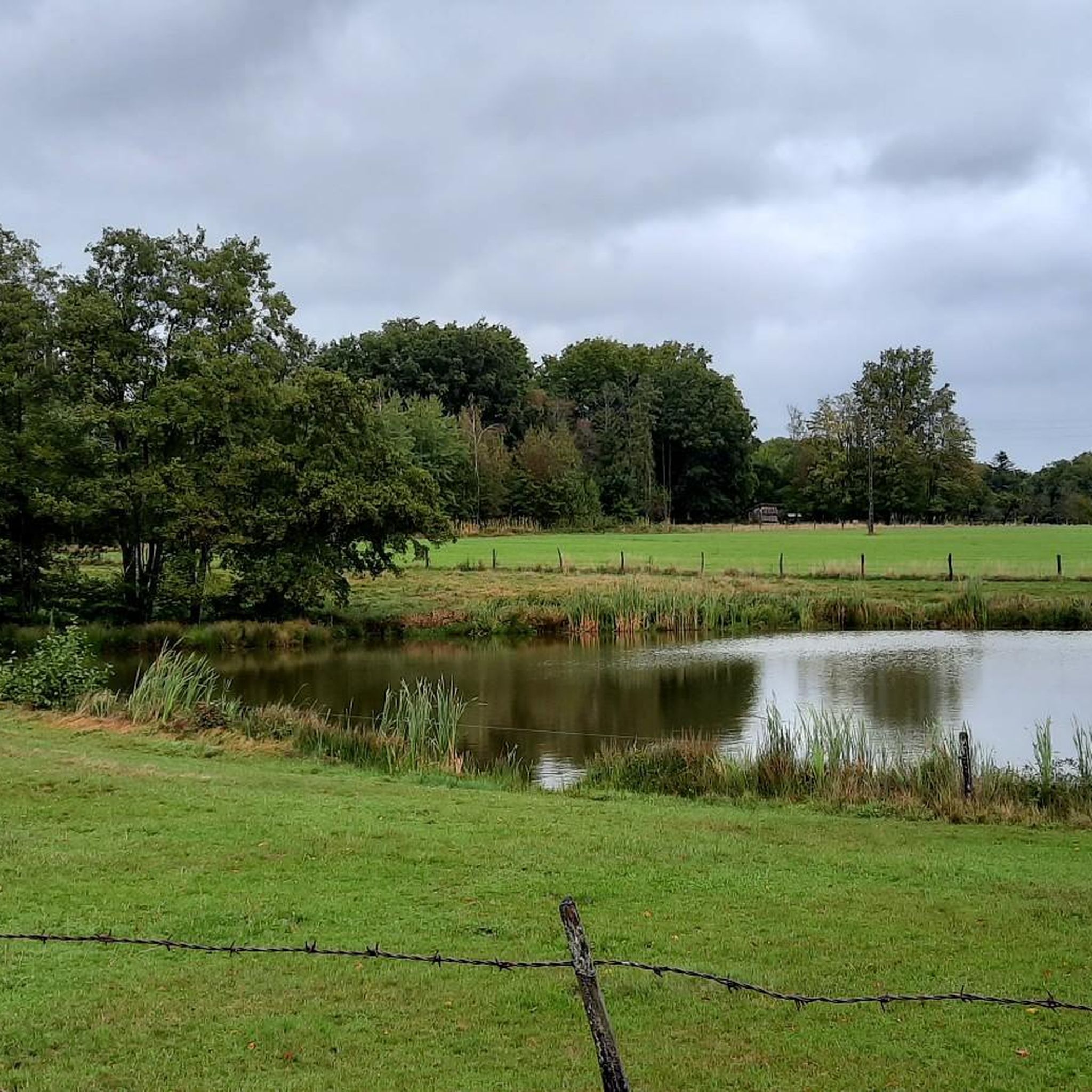
Yes, several lakes are located near the gravel biking routes. You might encounter Michelbach Lake, Étang La Belle Île, and Étang des Cratsch, offering picturesque spots to pause during your ride.
Are there any historical or man-made attractions near the trails?
You can find interesting man-made attractions like the Valdieu-Lutran lock scale and the Sentheim Train Station, which add a touch of local history and engineering to your gravel biking adventure.
What is the longest gravel bike route available in Welschenkappel?
The longest route listed is the Hundsruck Pass – Hundsruck loop from Masevaux-Niederbruck, covering approximately 44.5 kilometers (27.7 miles).
What is the shortest gravel bike route in Welschenkappel?
One of the shorter routes is Le vallon du Steinbach, which is about 11.1 kilometers (6.9 miles) long and offers a moderate challenge.
Most popular routes around Welschenkappel
Most popular attractions around Welschenkappel

Get inspired with the komoot mobile app


Explore more
Browse the best Gravel rides in other regions.
