The best gravel rides around Bergholtzzell
4.8
(41)
415
riders
63
rides
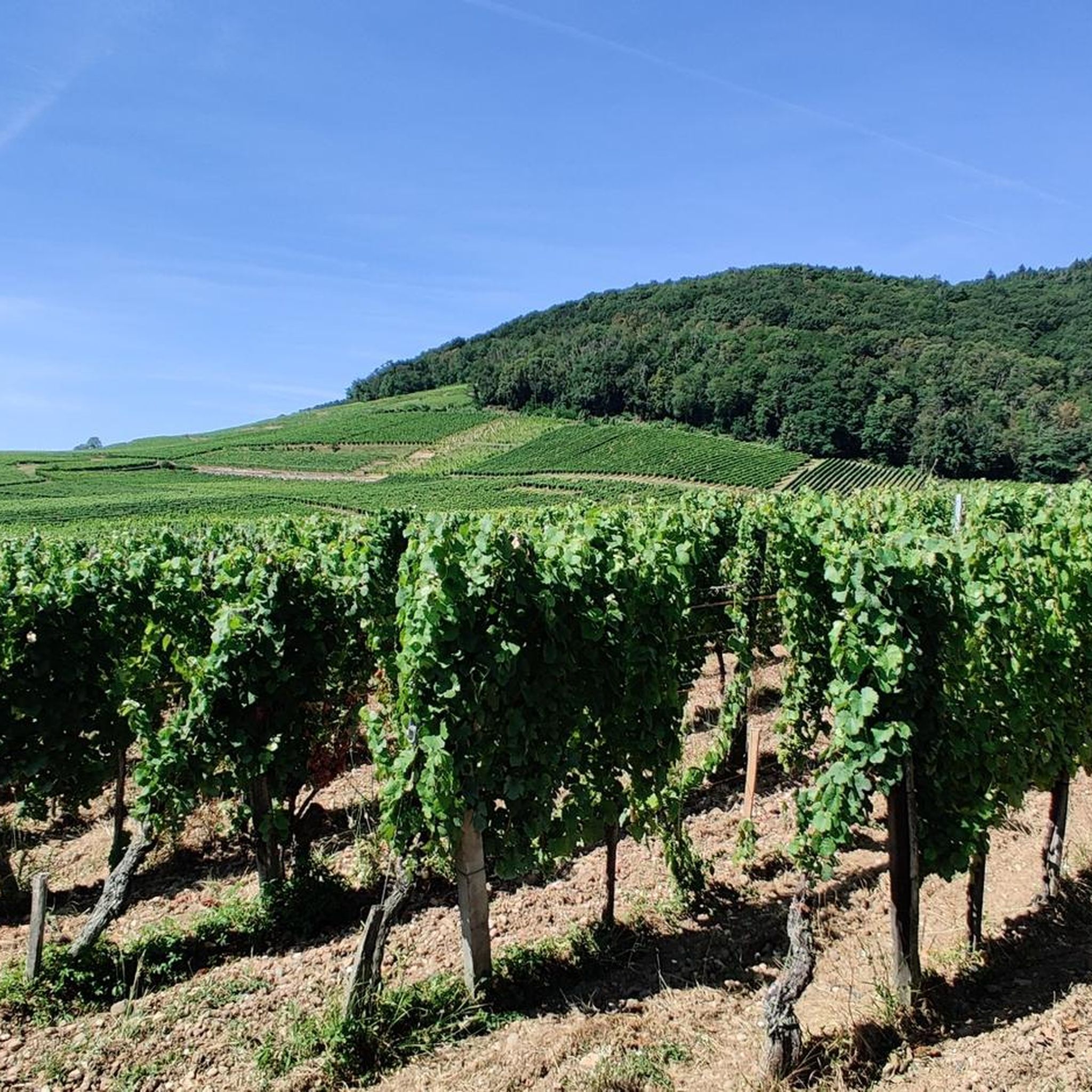
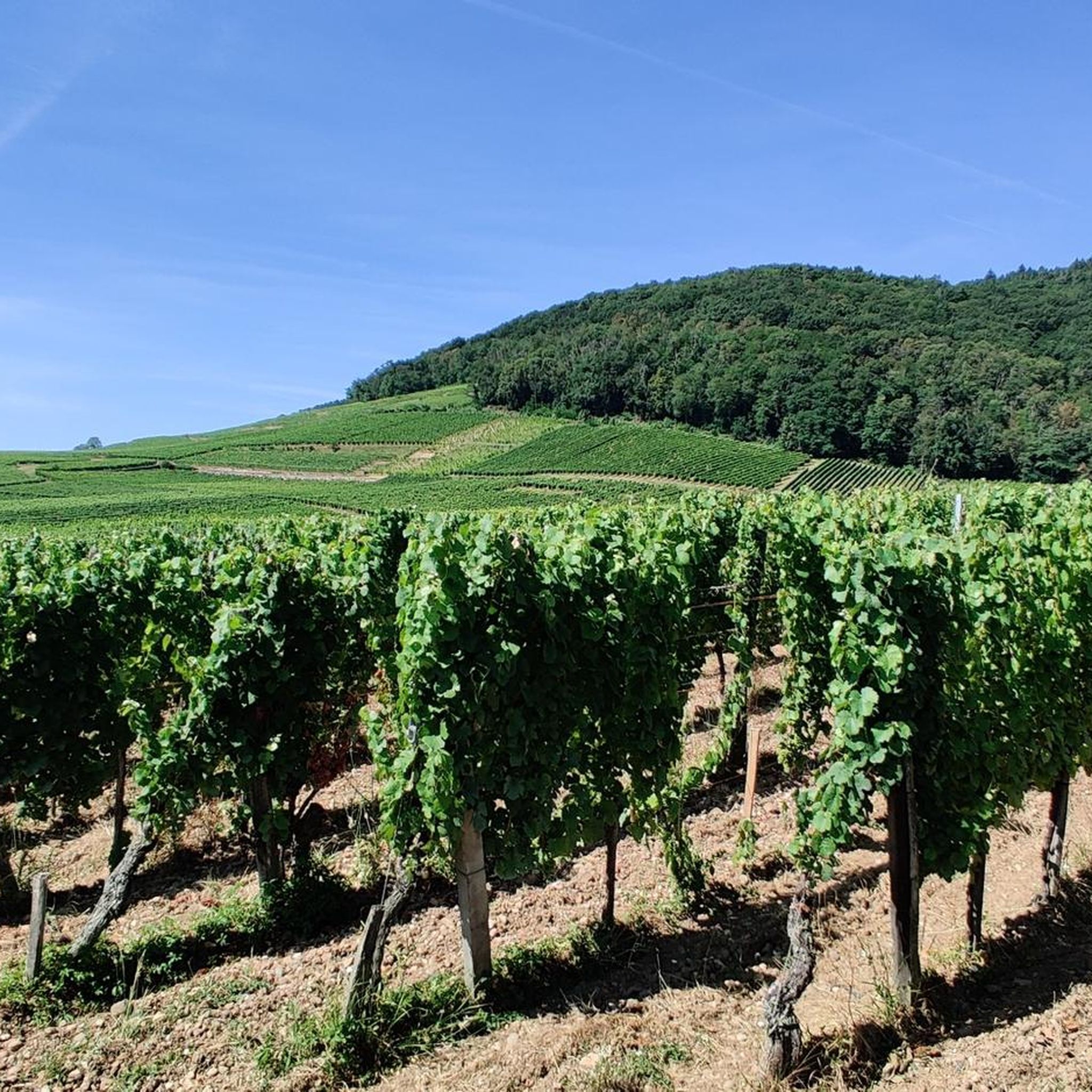
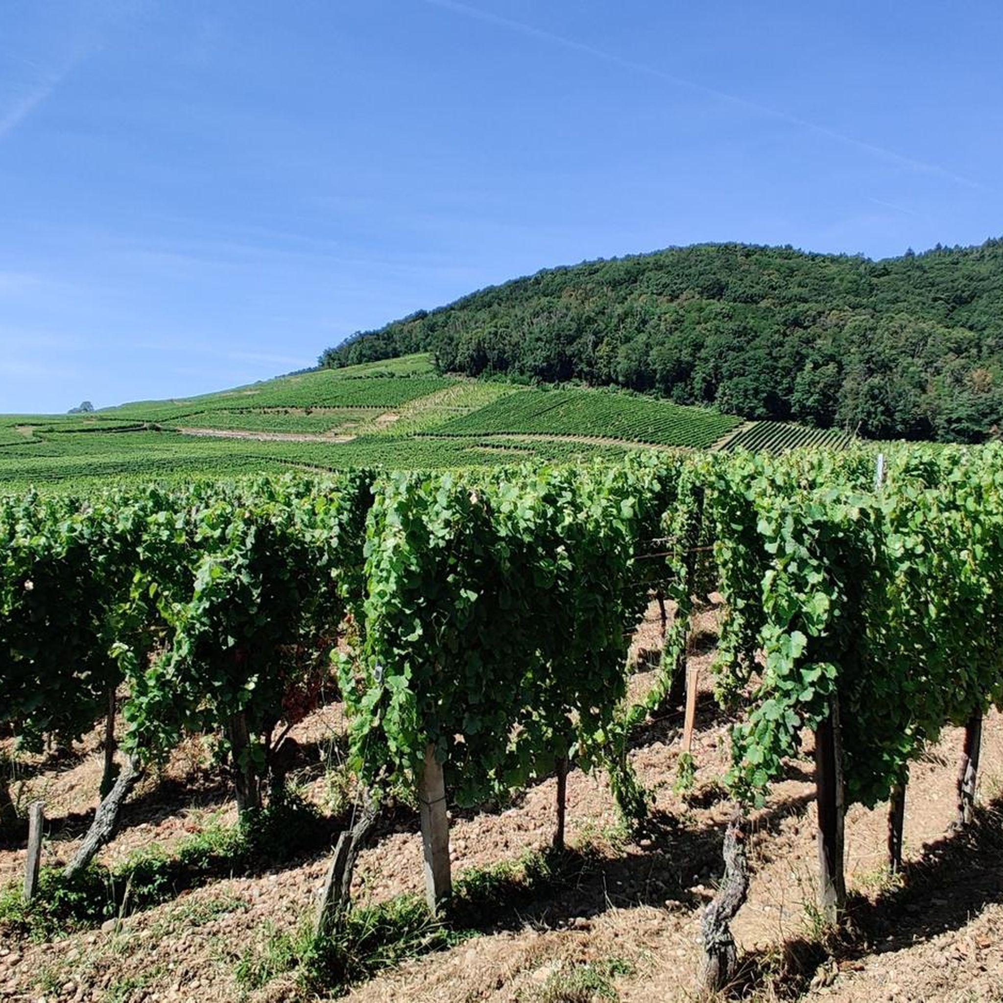
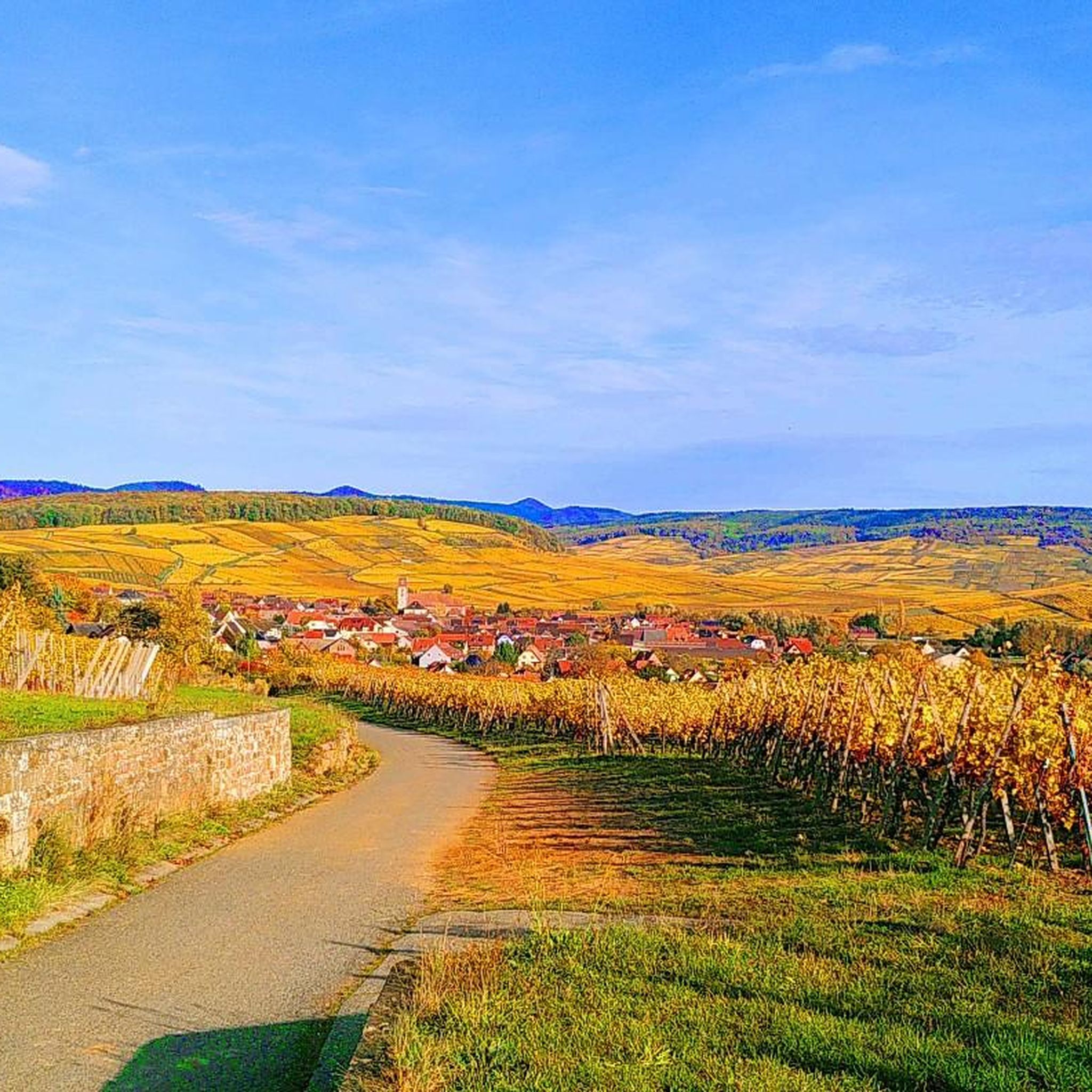
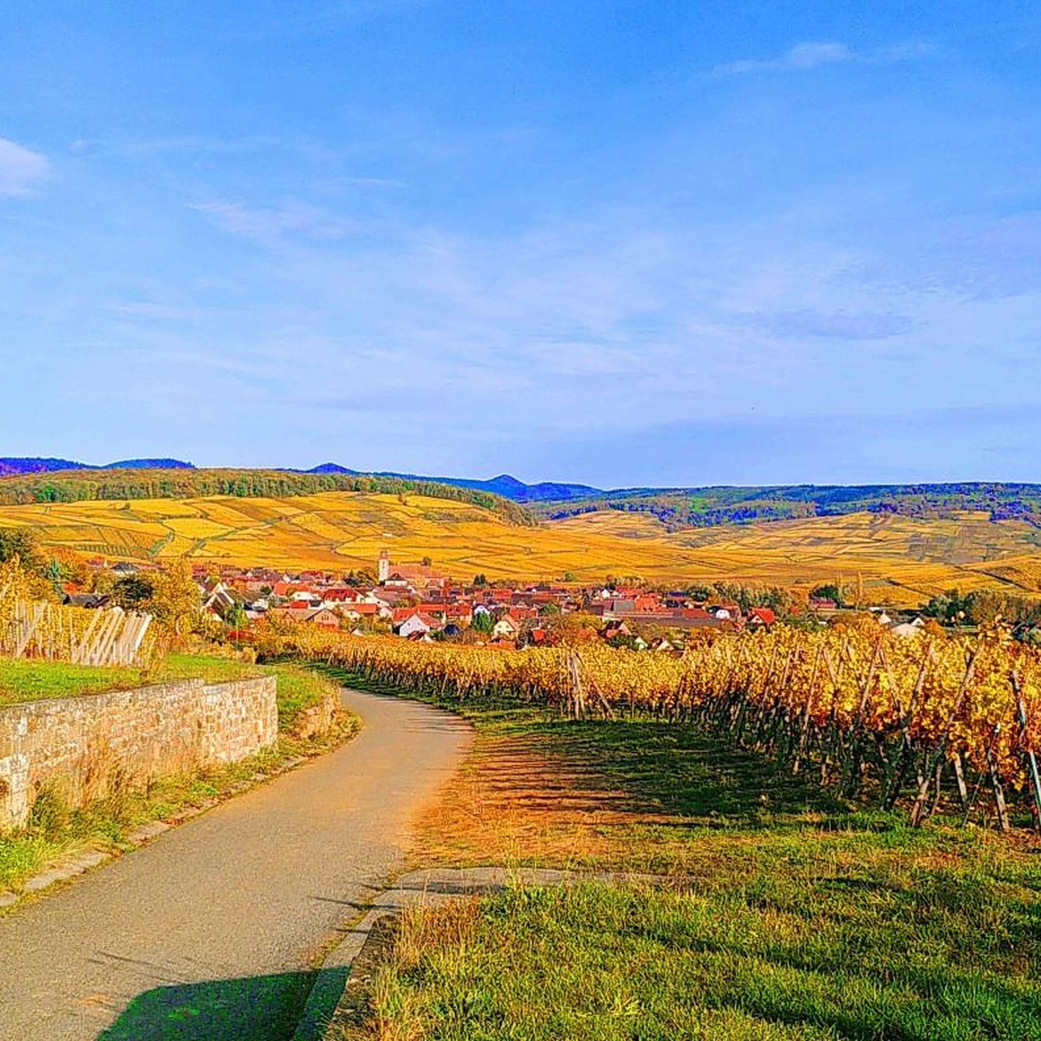
Gravel biking around Bergholtzzell offers routes through varied terrain, characterized by vineyards, rolling hills, and mountain passes. The region features significant elevation changes, with trails ascending to panoramic viewpoints and traversing forested sections. Gravel routes in this area often connect charming villages with natural landscapes, providing a mix of open paths and more technical sections. The area is situated along the Alsace Wine Route, blending cultivated vineyards with lush forests and undulating landscapes.
Best gravel bike trails around Bergholtzzell
- The…
Last updated: October 19, 2026
4.9
(8)
73
riders
59.3km
04:25
1,520m
1,520m
Hard gravel ride. Very good fitness required. Mostly paved surfaces. Suitable for all skill levels.
5.0
(1)
15
riders
50.3km
03:20
430m
430m
Moderate gravel ride. Good fitness required. Mostly paved surfaces. Suitable for all skill levels.

12
riders
47.1km
03:51
1,350m
1,350m
Hard gravel ride. Very good fitness required. Mostly paved surfaces. Suitable for all skill levels.
4.5
(2)
23
riders
65.1km
03:57
660m
660m
Hard gravel ride. Very good fitness required. Mostly paved surfaces. Suitable for all skill levels.
5.0
(1)
22
riders
32.3km
02:19
650m
650m
Hard gravel ride. Very good fitness required. Mostly paved surfaces. Suitable for all skill levels.
Get access to more routes and recommendations from other explorers.
Already have an account?
Our route recommendations are based on thousands of hikes, rides, and runs completed by other people on komoot.
Start today with a free account
Your next adventure awaits.
Tips from the Community

When you drive from the Route des Crêtes towards Le Grand Ballon, you pass the Col du Haag (1233 m) almost unnoticed. Yet, this pass marks a special point on the southern flank of the highest mountain in the Vosges. Here, steep roads from the Thurdal leave the wooded slopes and reach the open heights of the massif. From the col, a typical Vosges landscape unfolds with mountain meadows, scattered farms, and sweeping views. The proximity of the Grand Ballon is felt everywhere: the imposing summit towers above the pass and forms the natural goal of the final climbing kilometers. For cyclists, the Col du Haag is mainly known as the point where difficult climbs from the valleys converge before the road continues to rise to the highest point of the Vosges.
6
0
Le Markstein (1184 m) is meer dan alleen een kruispunt op de Route des Crêtes. Het is echter een echte bergpas en het hoogste punt van de oversteek tussen het Lauch- en Thurdal. Het ligt in het hart van het Vogezenmassief, midden een populair wintersportgebied dat nauw verbonden is met de Grand Ballon
6
0
Le Markstein is a well-known winter sports and outdoor resort in the High Vosges, located at an altitude between 1020 and 1268 meters. The resort is situated directly on the iconic Route des Crêtes and forms an important crossroads and recreational area within the municipalities of Oderen and Lauw (near Wildenstein). At Le Markstein, you will find several traditional Fermes-Auberges and hotels where you can taste the local repas marcaire (a traditional hearty meal from the Vosges). Additionally, the location has gained significant fame in cycling; it is regularly the setting for tough mountain stages in the Tour de France (and the Tour de France Femmes), often as the final challenge after the climbs of Petit Ballon and Platzerwasel.
6
0

From waypoint 10 to 11 is absolutely not possible by bike
0
0

it's fun to ride up there
0
0
super nice to ride the climb
0
0
great view from up there
0
0
Frequently Asked Questions
What kind of terrain can I expect on gravel bike trails around Bergholtzzell?
Gravel biking around Bergholtzzell offers a diverse landscape, characterized by picturesque vineyards, rolling hills, and challenging mountain passes. You'll encounter significant elevation changes, with trails ascending to panoramic viewpoints and traversing dense forested sections. Routes often connect charming villages with natural landscapes, providing a mix of open paths and more technical sections.
Are there gravel bike trails suitable for beginners or families in Bergholtzzell?
While many routes in Bergholtzzell feature significant climbs and are rated as moderate to difficult, there are options for various ability levels. For a less strenuous experience, look for routes with lower elevation gain. The region's trails are generally well-suited for those with some gravel biking experience, but beginners should choose shorter, flatter sections if available, or consider the single easy route available.
What are the typical distances and durations for gravel bike tours in Bergholtzzell?
Gravel bike tours in Bergholtzzell vary widely. For example, the challenging Ascent to Col Amic – Col Amic Pass loop from Bergholtzzell is 28.1 miles (45.3 km) and takes around 4 hours. Longer routes like the Panoramic view from the vineyards – Historic Streets of Eguisheim loop from Guebwiller cover 47.1 miles (75.9 km) and can take over 5 hours. There are also shorter options, such as the Panoramic view from the vineyards – Bollenberg chapel loop from Soultzmatt, which is 16.9 miles (27.2 km) and takes about 2 hours 20 minutes.
What are some of the most scenic viewpoints or attractions along the gravel routes?
Many gravel routes offer expansive views over vineyards and the surrounding mountains. You can find stunning vistas from various points, including those on the Panoramic view from the vineyards – Historic Streets of Eguisheim loop from Guebwiller. For specific natural landmarks, consider routes that pass near highlights such as Grand Ballon or Petit Ballon, which offer incredible mountain panoramas. The Ballon Lake is another beautiful spot to look out for.
Are there any circular gravel bike routes available in Bergholtzzell?
Yes, the majority of gravel bike routes in Bergholtzzell are designed as loops, allowing you to start and finish at the same point. Examples include the Munsteraeckerle Shelter – Fontaine Schlumberger loop from Guebwiller and the Grand Ballon – Col Amic Pass loop from Haut-Rhin, both offering comprehensive circular experiences through the region's diverse landscapes.
What do other gravel bikers say about the trails in Bergholtzzell?
The gravel bike trails in Bergholtzzell are highly regarded by the komoot community, with an average rating of 4.7 stars from over 30 reviews. Riders often praise the challenging climbs, the rewarding panoramic views, and the varied terrain that combines vineyards, forests, and mountain passes. Many appreciate the well-maintained paths and the sense of adventure these routes provide.
Are there places to eat or rest along the gravel bike trails?
Yes, some routes pass by or near facilities where you can rest and refuel. For instance, the area features mountain huts and farm inns. You might find options like the Kahlenwasen Farm Inn or the Grand Ballon Chalet Hotel along certain trails, offering opportunities for a break and refreshments.
What is the best time of year to go gravel biking in Bergholtzzell?
The best time for gravel biking in Bergholtzzell is typically from spring through autumn. During these seasons, the weather is generally more favorable, with milder temperatures and less precipitation, making for more enjoyable rides through the vineyards and mountain passes. Autumn also offers stunning foliage colors, adding to the scenic beauty of the trails.
How many gravel bike routes are available around Bergholtzzell?
There are over 60 gravel bike routes available around Bergholtzzell, offering a wide range of options for different skill levels and preferences. This includes one easy route, nearly 30 moderate routes, and over 35 difficult routes, ensuring there's a challenge for every gravel biker.
Is public transport available to access gravel biking routes in Bergholtzzell?
While Bergholtzzell is a smaller community, public transport options exist in the broader region. It's advisable to check local bus or train schedules for connections to nearby towns like Guebwiller or Soultzmatt, which serve as common starting points for many routes. From these towns, you may be able to cycle directly to the trailheads.
Where can I find parking for gravel biking routes in Bergholtzzell?
Many popular starting points for gravel bike routes, especially in larger nearby towns or at significant trailheads, offer designated parking areas. When planning your trip, look for parking facilities in towns like Guebwiller or Soultzmatt, or at specific points of interest such as mountain passes or visitor centers, which often have space for vehicles.
Most popular routes around Bergholtzzell
Most popular attractions around Bergholtzzell

Get inspired with the komoot mobile app


Explore more
Browse the best Gravel rides in other regions.
