The best gravel rides around Wuenheim
4.6
(57)
721
riders
81
rides
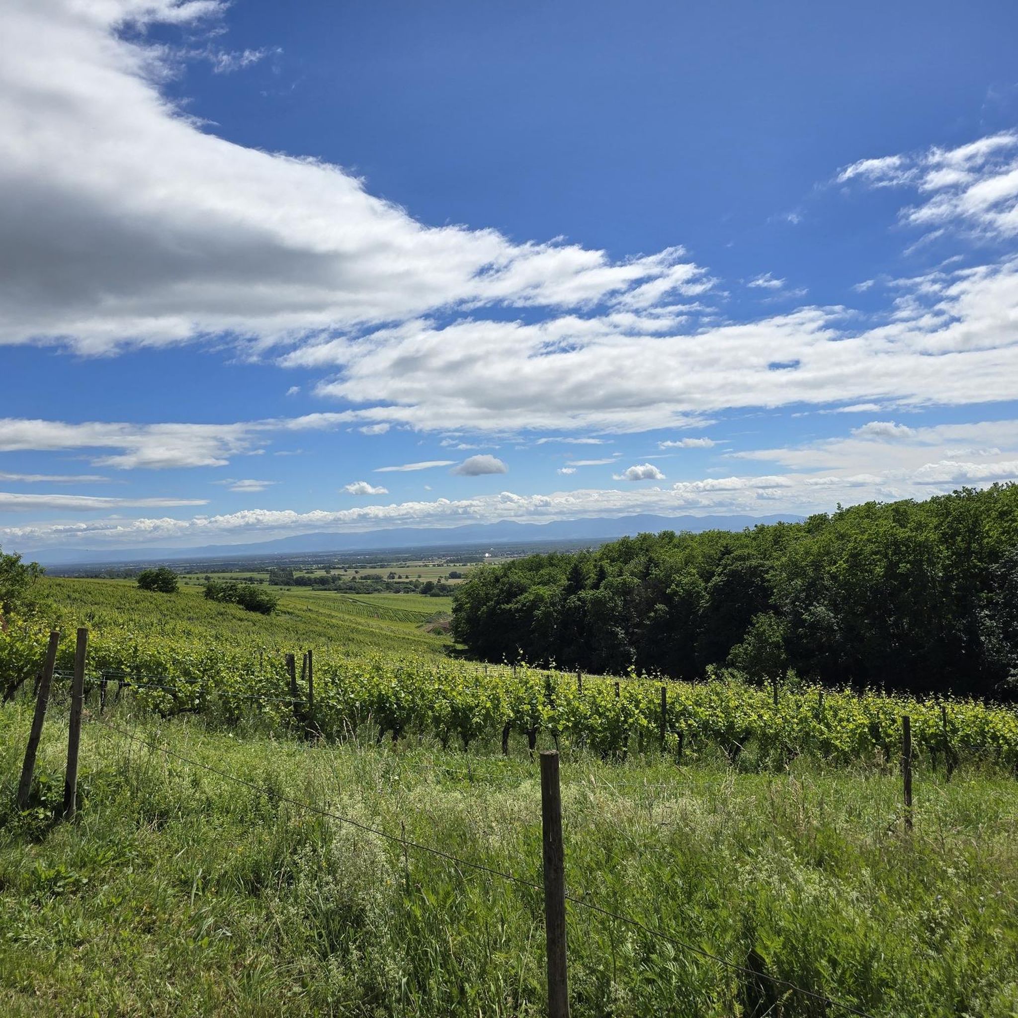
Gravel biking around Wuenheim is characterized by its location at the foot of the Vieil Armand mountain, offering access to varied terrain. The region features a diverse topography, stretching from small valleys to plains, with landscapes including forests, vineyards along the Alsace Wine Route, and quiet country roads. The wider Haut-Rhin department, part of the Vosges massif, provides an extensive network of forest tracks and unpaved paths suitable for gravel riding. This area combines mountainous challenges with scenic vineyard paths…
Last updated: October 19, 2026
5.0
(2)
24
riders
16.9km
01:30
570m
570m
Hard gravel ride. Very good fitness required. Mostly paved surfaces. Suitable for all skill levels.
5.0
(2)
43
riders
35.5km
03:01
1,100m
1,090m
Hard gravel ride. Very good fitness required. Mostly paved surfaces. Suitable for all skill levels.

10
riders
27.4km
02:14
710m
710m
Hard gravel ride. Very good fitness required. Mostly paved surfaces. Suitable for all skill levels.
5.0
(1)
15
riders
50.3km
03:20
430m
430m
Moderate gravel ride. Good fitness required. Mostly paved surfaces. Suitable for all skill levels.
12
riders
47.1km
03:51
1,350m
1,350m
Hard gravel ride. Very good fitness required. Mostly paved surfaces. Suitable for all skill levels.
Get access to more routes and recommendations from other explorers.
Already have an account?
Our route recommendations are based on thousands of hikes, rides, and runs completed by other people on komoot.
Start today with a free account
Your next adventure awaits.
Tips from the Community

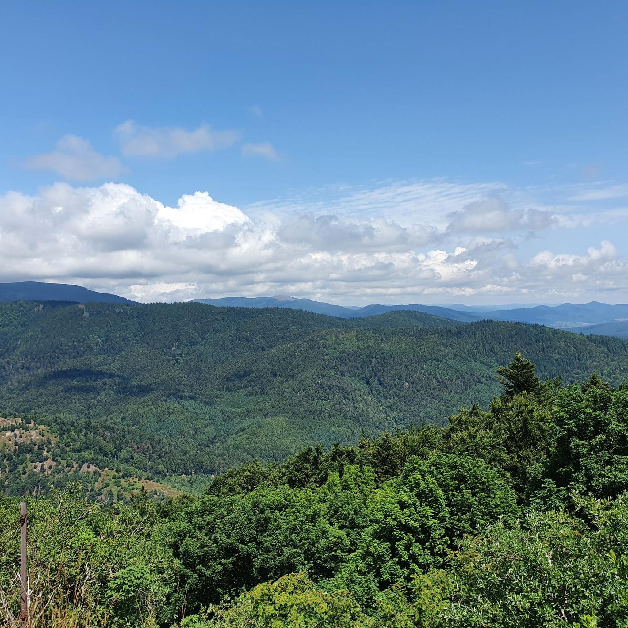
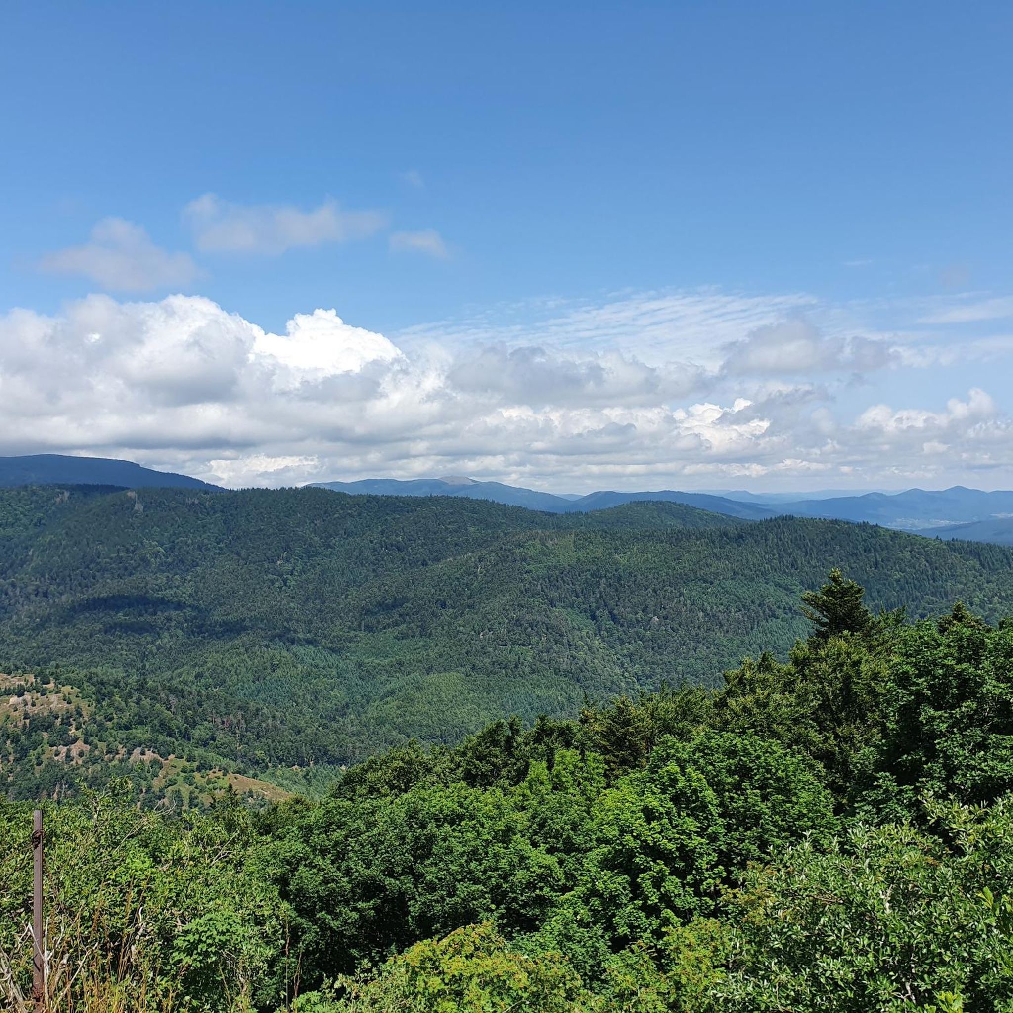
The bare mountain lends itself to beautiful panoramas.
6
0
When you drive from the Route des Crêtes towards Le Grand Ballon, you pass the Col du Haag (1233 m) almost unnoticed. Yet, this pass marks a special point on the southern flank of the highest mountain in the Vosges. Here, steep roads from the Thurdal leave the wooded slopes and reach the open heights of the massif. From the col, a typical Vosges landscape unfolds with mountain meadows, scattered farms, and sweeping views. The proximity of the Grand Ballon is felt everywhere: the imposing summit towers above the pass and forms the natural goal of the final climbing kilometers. For cyclists, the Col du Haag is mainly known as the point where difficult climbs from the valleys converge before the road continues to rise to the highest point of the Vosges.
6
0

Hartmannswiller Kopf - Menschenfresser Kopf ( 30000 senseless victims ) Symbol of horror ( 1914-1918 )
0
0
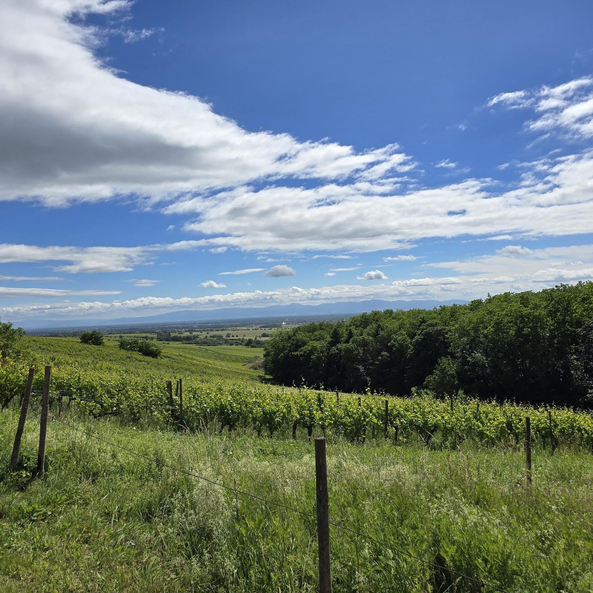
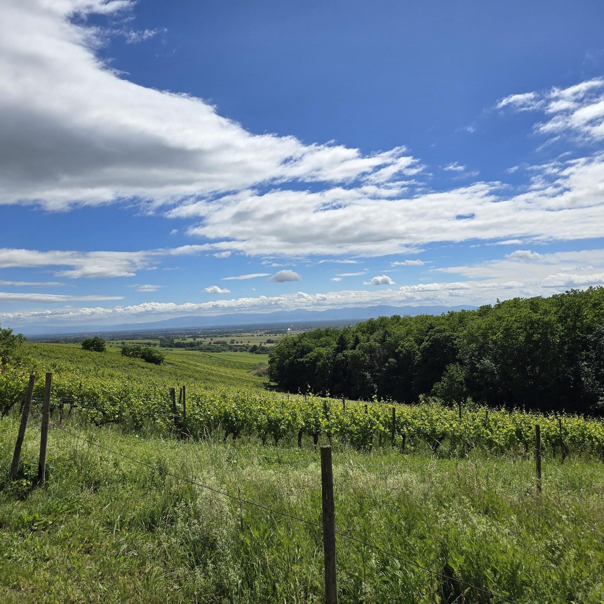
sensational view up to the Alps.
1
0

From waypoint 10 to 11 is absolutely not possible by bike
0
0

beautiful path to the summit
0
0
Frequently Asked Questions
How many gravel bike trails are available around Wuenheim?
Wuenheim offers a wide selection of gravel biking routes, with over 80 trails available. These range from easy vineyard paths to challenging mountain ascents, catering to various skill levels.
What kind of terrain can I expect on gravel bike trails around Wuenheim?
You'll encounter a diverse mix of terrain, from scenic routes winding through the vineyards of the Alsace Wine Route to forest tracks and quiet country roads. The region stretches from small valleys towards plains and includes mountainous areas at the foot of the Vieil Armand, offering varied surfaces perfect for gravel biking.
Are there any circular gravel bike routes in the area?
Yes, many gravel routes around Wuenheim are designed as loops. For instance, the challenging Col Amic Pass – Climb to Grand Ballon loop from Wattwiller takes you through significant elevation gain, while the Grand Ballon – Col Amic Pass loop from Steinbach offers a mountainous journey through forest tracks.
What do other gravel bikers say about the trails in Wuenheim?
The gravel biking routes in Wuenheim are highly regarded by the komoot community, boasting an average rating of 4.6 stars from over 30 reviews. Riders often praise the varied terrain, from rolling vineyards to challenging mountain passes, and the extensive network of forest tracks.
Is Wuenheim suitable for beginner gravel bikers?
While many routes are challenging, Wuenheim does offer options for beginners. There are 4 easy routes available, providing a gentler introduction to gravel biking through the region's beautiful landscapes.
What is the best time of year for gravel biking in Wuenheim?
The Alsace region, including Wuenheim, is generally pleasant for gravel biking from spring through autumn. Spring brings blooming vineyards, while autumn offers vibrant fall colors. Summer is also popular, but be mindful of warmer temperatures. Winter can be challenging due to snow in higher elevations, though lower valley routes might still be accessible.
Are there options for long-distance gravel rides?
Absolutely. Wuenheim is an excellent starting point for longer gravel adventures. A notable example is the challenging Panoramic view from the vineyards – Historic Streets of Eguisheim loop from Guebwiller, which covers over 75 km and offers extensive views across vineyards and historical villages.
What scenic viewpoints or landmarks can I expect to see on the gravel trails?
Many routes offer stunning views. You can find highlights like the View of the Grand Ballon or the Viewpoint at the Rehbrunnel shelter. The region is also rich in cultural landmarks, including picturesque villages along the Alsace Wine Route and historical sites like the Vieil Armand mountain.
Are there any lakes or natural features to explore near the gravel routes?
Yes, the area around Wuenheim features beautiful natural water bodies. You can explore highlights such as Ballon Lake or Lac du Ballon, which are often accessible via trails. The Lac du Ballon Dam is another interesting feature.
Are there cafes or places to stop along the gravel bike trails?
Yes, you'll find opportunities for refreshments and breaks. For example, the Haag Farm and the Gustiberg Farmhouse Inn are among the huts and facilities available, offering places to rest and refuel.
Where can I find parking for gravel biking in Wuenheim?
Wuenheim and its surrounding villages, being popular starting points for outdoor activities, typically offer public parking options. Look for designated parking areas near trailheads or in the village centers. It's advisable to check local signage for any restrictions.
Can I reach Wuenheim by public transport for gravel biking?
While Wuenheim is a charming village, direct public transport links might be limited. The broader Alsace region has a public transport network, but for specific trailheads, a combination of train and local bus or a short taxi ride might be necessary. Planning your journey in advance is recommended.
Are there family-friendly gravel biking options in Wuenheim?
Yes, the varied topography of Wuenheim and the Alsace region includes gentler paths suitable for families. While specific 'family-friendly' routes are not explicitly listed, the 4 easy routes available would be a good starting point for families looking for less strenuous rides through vineyards and forest edges.
What cultural attractions can I visit while gravel biking in Wuenheim?
Beyond the trails, Wuenheim is on the Alsace Wine Route, offering access to charming villages like Eguisheim and Riquewihr. You can visit the wine museum in Wuenheim or explore ancient castles and abbeys like Murbach Abbey, integrating cultural stops into your ride. For more regional information, you can visit Visit Alsace.
Most popular routes around Wuenheim
Most popular attractions around Wuenheim

Get inspired with the komoot mobile app


Explore more
Browse the best Gravel rides in other regions.
