The best gravel rides around Hartmannswiller
4.7
(32)
397
riders
70
rides
Gravel biking around Hartmannswiller offers diverse terrain at the intersection of the Alsace Wine Route and the Vosges mountains. The landscape features rolling vineyards, quiet country roads, and rugged forest tracks leading into the Vosges foothills. This combination provides varied routes suitable for gravel bikes, blending paved and unpaved sections. The region's topography includes both gentle slopes and more challenging ascents towards higher elevations.
Best gravel bike trails around Hartmannswiller
- The most popular gravel bike trail is Col Amic Pass – Climb to Grand Ballon loop from Wattwiller, a difficult 22.2 miles (35.7 km) trail that takes 2 hours 54 minutes to complete. This route features a significant climb towards the Grand Ballon and crosses a mountain pass.
- Another top favourite among local gravel bikers is Grand Ballon – Col Amic Pass loop from Steinbach, a difficult 32.8 miles (52.7 km) path. This route leads through mountain landscapes and passes, offering varied terrain.
- Local gravel bikers also love the Hartmannswillerkopf Crypt – Molkenrain - Cernay loop from Wattwiller, a 13.3 miles (21.4 km) trail leading through historic areas and forest, often completed in about 1 hour 47 minutes.
- Gravel biking around Hartmannswiller is defined by vineyards, forest tracks, and mountain passes. The network offers options for easy, moderate, and difficult routes, catering to various ability levels.
- The routes in Hartmannswiller are highly rated by the komoot community with an average score of 4.6 stars from more than 30 reviews. More than 400 gravel bikers have used komoot to explore Hartmannswiller's varied terrain.
Last updated: July 3, 2026
5.0
(3)
56
riders
55.5km
03:57
1,220m
1,220m
Hard gravel ride. Very good fitness required. Mostly paved surfaces. Suitable for all skill levels.
5.0
(2)
14
riders
16.1km
01:22
530m
530m
Hard gravel ride. Very good fitness required. Mostly paved surfaces. Suitable for all skill levels.

Sign up for free
5.0
(3)
42
riders
43.8km
03:38
1,390m
1,390m
Hard gravel ride. Very good fitness required. Mostly paved surfaces. Suitable for all skill levels.
8
riders
27.4km
02:14
710m
710m
Hard gravel ride. Very good fitness required. Mostly paved surfaces. Suitable for all skill levels.
5.0
(1)
9
riders
20.1km
01:40
630m
630m
Hard gravel ride. Very good fitness required. Mostly paved surfaces. Suitable for all skill levels.
Get access to more routes and recommendations from other explorers.
Sign up for free
Already have an account?
Our route recommendations are based on thousands of hikes, rides, and runs completed by other people on komoot.
Start today with a free account
Your next adventure awaits.
Login or Signup
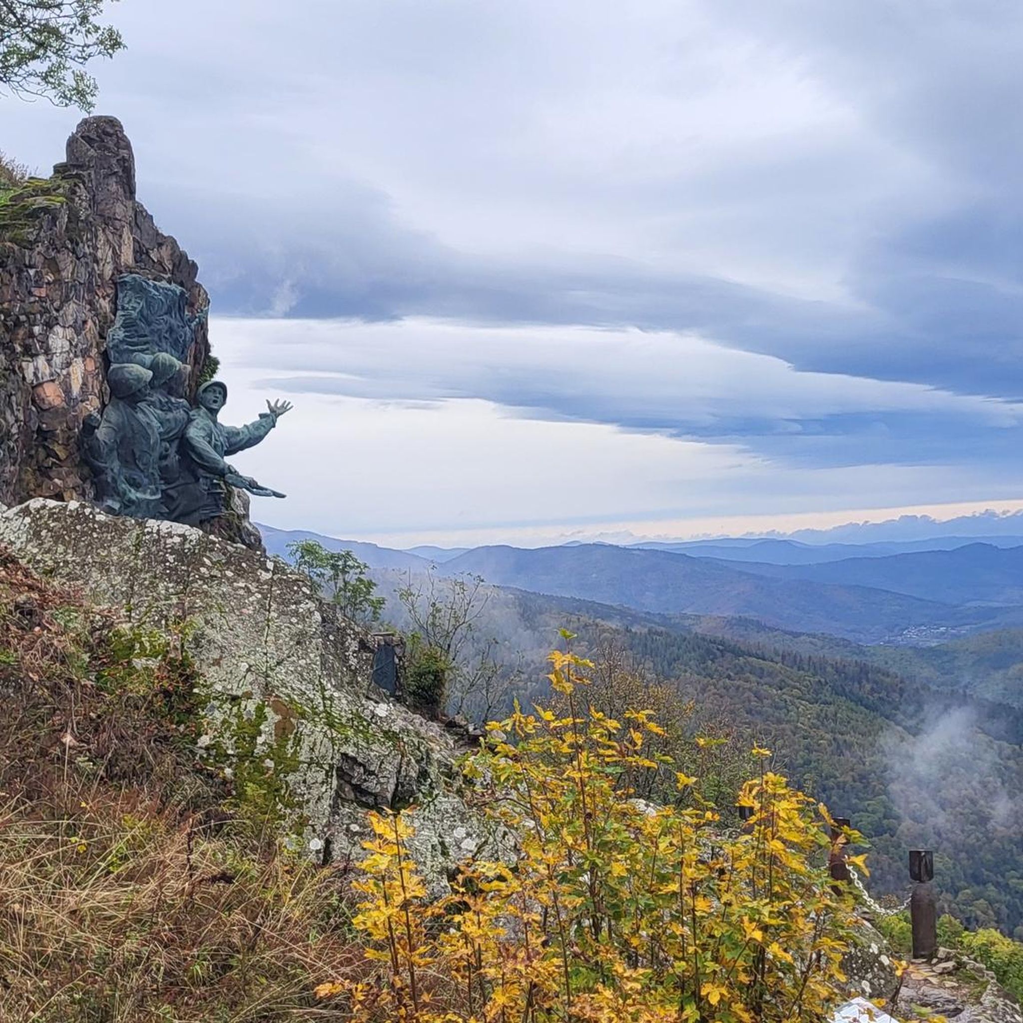
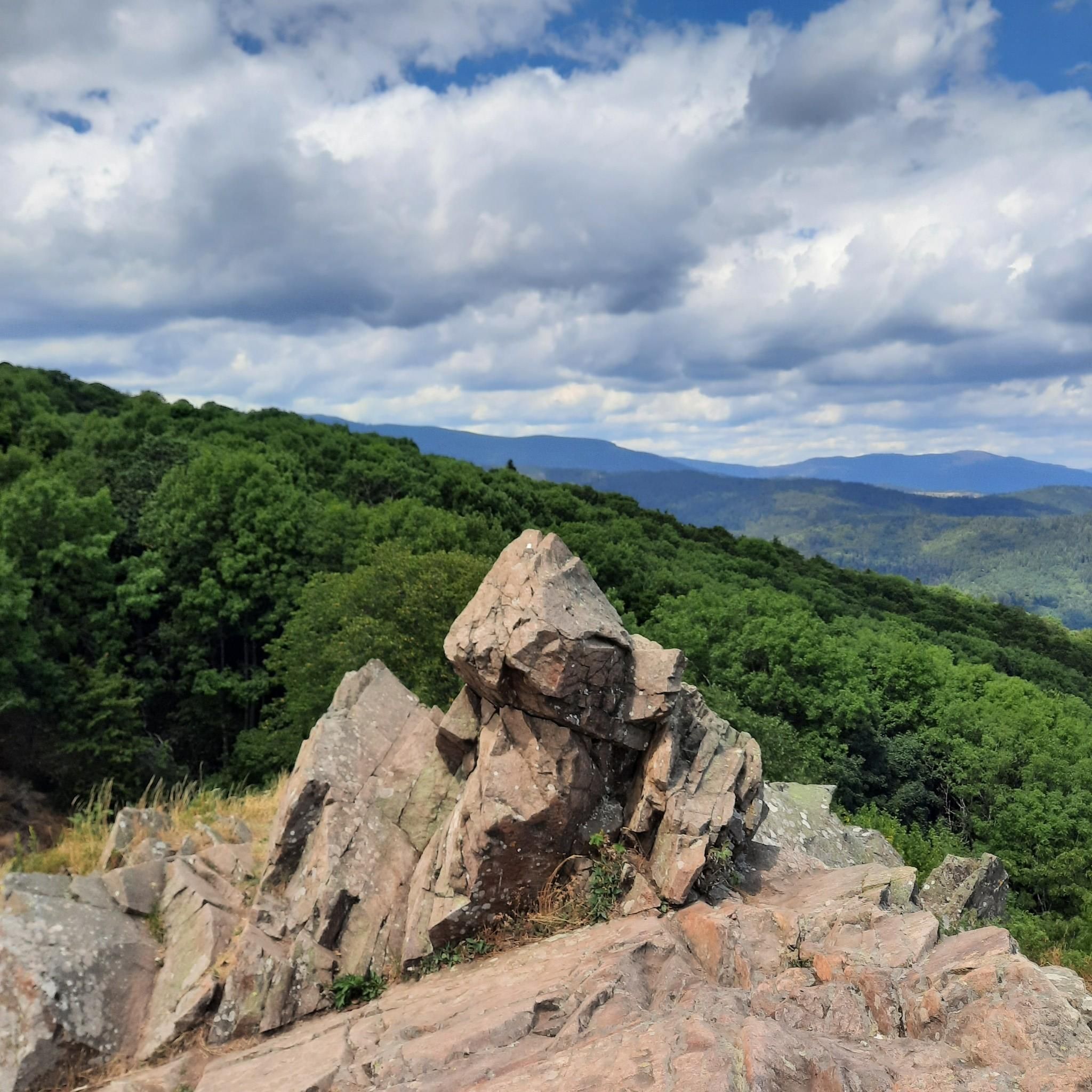
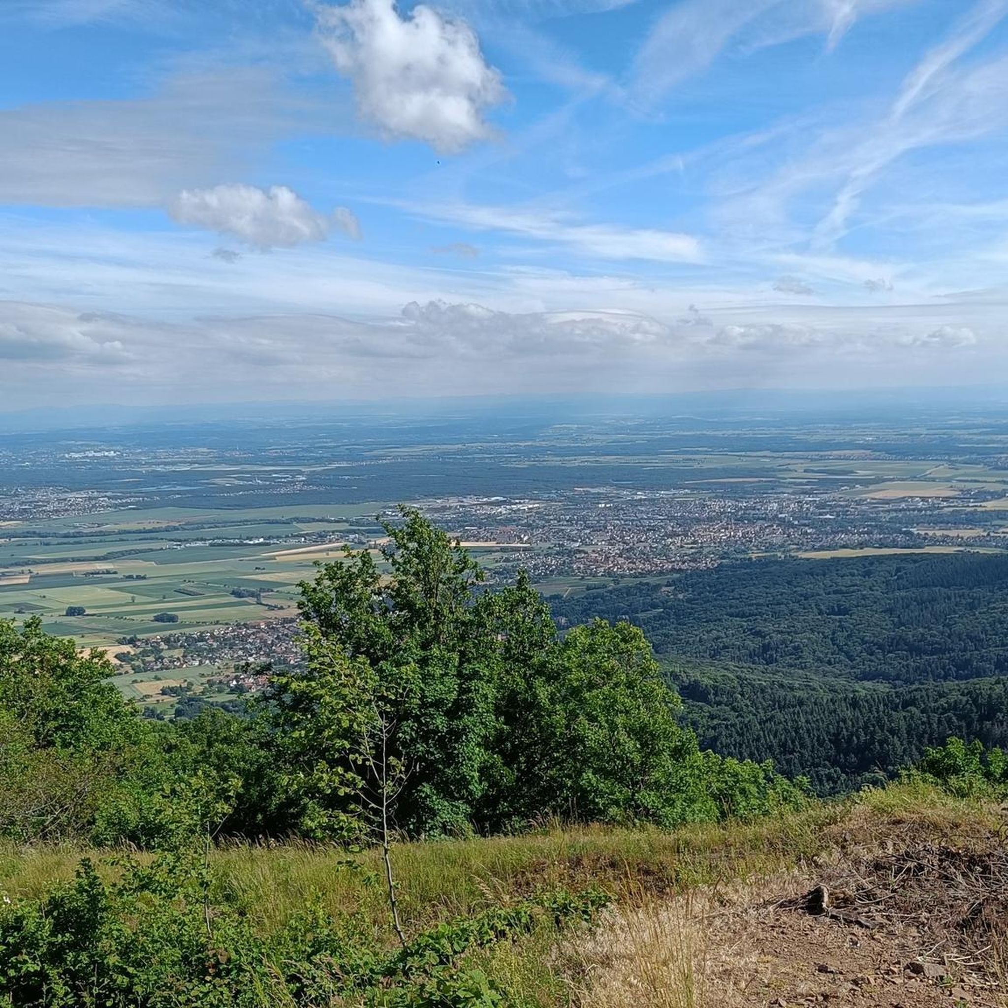
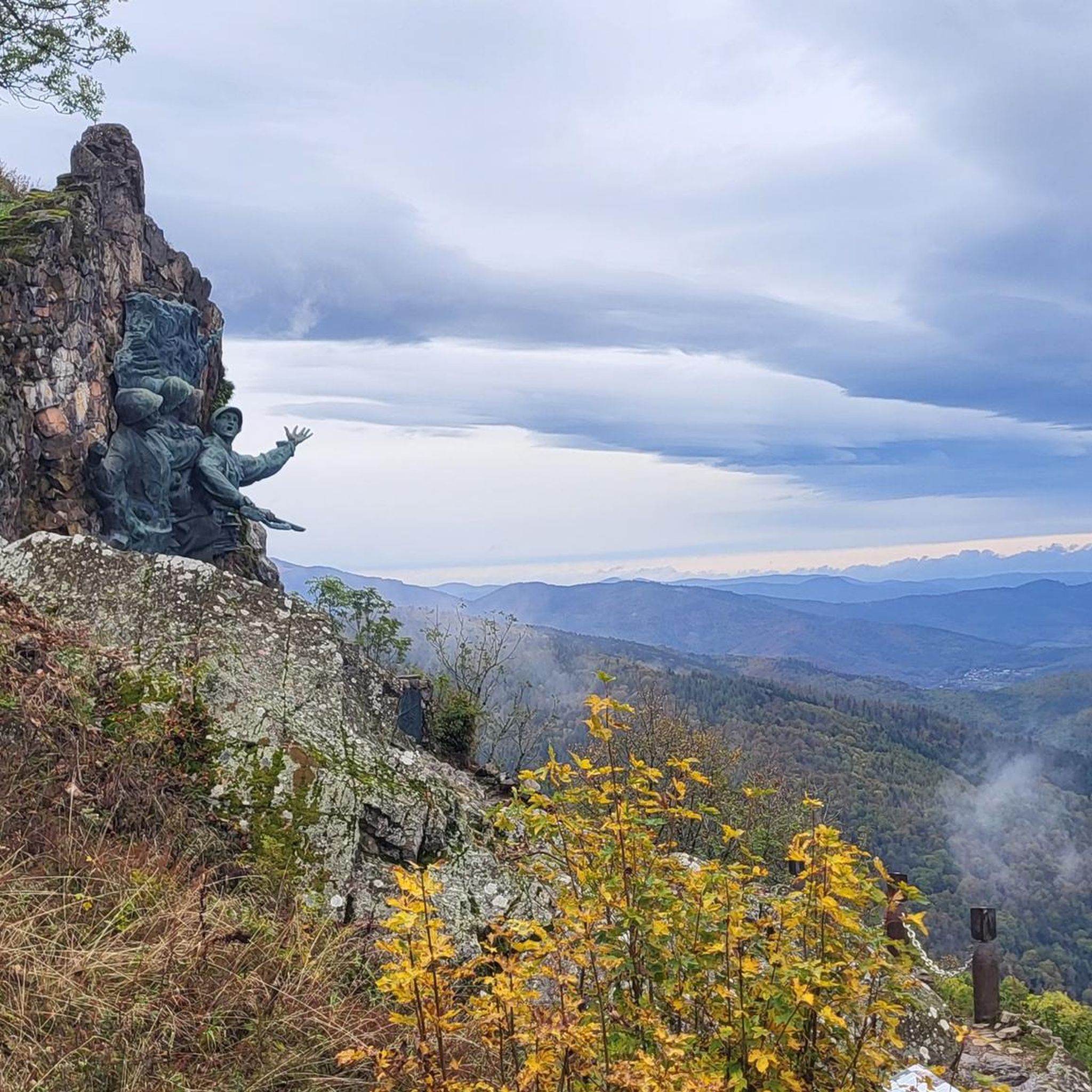
Tips from the Community


Great climb - a must for every road cyclist
0
0

The artificially created, yet idyllically situated "Lac de la Lauch" lake is featured in the komoot system not only for joggers, but also as a highlight for various sports, including hikers, with many more photos uploaded there. If you're interested, see =>>https://www.komoot.com/de-de/highlight/308200
0
0

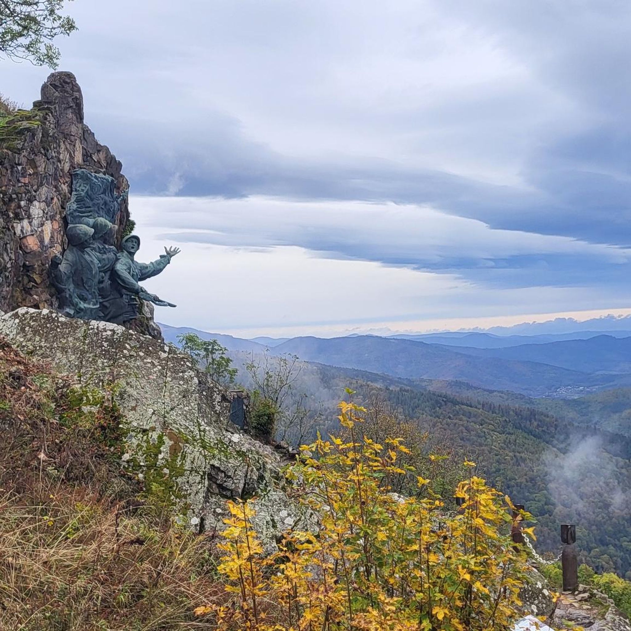
The Col de Herrenfluh is located at an altitude of 837 metres in the Vosges, between Uffholtz and Wattwiller. The summit is located along the Route des Crêtes and offers magnificent views over the Rhine Valley and the surrounding forests. Nearby are the ruins of the Château du Herrenfluh, which was once an observation post during the First World War (but difficult to reach for a cyclist).
6
0

No, swimming or bathing is not permitted in Lac de la Lauch. Located in the Vallée de la Lauch, Lac de la Lauch is a reservoir fed by the Lauchbach stream, which flows in and out. It serves as a source of drinking water. The valley, with its meltwater streams running along the mountain slopes, is relatively rich in water and features shady forests.
0
0
The Château du Herrenfluh is a medieval ruin at an altitude of 858 metres. It was built in 1312 by Johan von Sankt Amarin, nicknamed Nordwind, and served as a lookout post for the princes-abbatons of Murbach. Due to its strategic location, the castle offered a panoramic view over Alsace, all the way to the foothills of the Jura. In 1376, it was captured by English mercenaries and later, in 1468, destroyed by the Swiss. During the First World War, the site was again used as a French observation post. Today, some ruins are still visible, and volunteers are working to preserve the remains. It is an interesting historical site along the Route des Crêtes.
7
0

A very beautiful, narrow road through the forest with a pleasant incline. Very secluded, with hardly any traffic (at least during the week in early June 2025).
0
0

Nice part of the climb with most of the scenic views, but also among the busiest on the street. In the last meters towards the peak, you will find an annoying accumulation of insects bothering you! Probably more lucky in fall or winter!
0
0
Frequently Asked Questions
How many gravel bike trails are available around Hartmannswiller?
There are over 80 gravel bike trails in the Hartmannswiller area, offering a wide range of options for different skill levels and preferences. This includes 4 easy routes, 26 moderate routes, and 52 difficult routes.
What kind of terrain can I expect on gravel bike trails near Hartmannswiller?
The terrain around Hartmannswiller is quite diverse, blending the rolling vineyards of the Alsace Wine Route with the more rugged foothills of the Vosges mountains. You'll encounter quiet country roads, scenic forest tracks, and smooth, rolling trails, with a mix of paved and unpaved sections. Expect both gentle slopes and more challenging ascents, especially towards higher elevations.
What do other gravel bikers say about the trails in Hartmannswiller?
The gravel biking routes in Hartmannswiller are highly rated by the komoot community, with an average score of 4.6 stars from over 30 reviews. More than 400 gravel bikers have explored the varied terrain, often praising the scenic vineyards, challenging mountain passes, and diverse landscapes.
Are there gravel routes suitable for beginners or more advanced riders?
Yes, Hartmannswiller offers gravel routes for all abilities. There are 4 easy routes perfect for beginners or a relaxed ride, 26 moderate routes for those looking for a bit more challenge, and 52 difficult routes for experienced gravel bikers seeking significant climbs and technical sections.
What are some challenging gravel bike routes in the area?
For a challenging ride, consider the Ascent to Col Amic – Col Amic Pass loop from Wattwiller, which features significant elevation gain. Another demanding option is the Hartmannswillerkopf Crypt – Molkenrain - Cernay loop from Wattwiller, which takes you through historical sites and mountain terrain.
What historical or natural landmarks can I see while gravel biking around Hartmannswiller?
Many routes offer views of significant landmarks. You can explore the historically rich Hartmannswillerkopf National Monument, a WWI battlefield with preserved trenches and monuments. The region is also part of the Alsace Wine Route, offering picturesque vineyard landscapes and charming villages. The nearby Vosges mountains provide access to natural beauty within the Ballons des Vosges Regional Nature Park.
Are there any scenic viewpoints along the gravel bike trails?
Absolutely. A notable viewpoint is the Viewpoint at the summit of Vieil Armand (Hartmannswillerkopf), which offers panoramic views over the Rhine valley. Many routes through the Vosges foothills and vineyards also provide stunning vistas.
What is the best time of year for gravel biking in Hartmannswiller?
The best time for gravel biking in Hartmannswiller is generally from spring to autumn (April to October). During these months, the weather is typically pleasant, making for enjoyable rides through the vineyards and mountains. Summer offers lush landscapes, while autumn brings vibrant colors to the forests and vineyards.
Are there family-friendly gravel bike trails around Hartmannswiller?
While many routes involve significant elevation, there are 4 easy gravel routes available that could be suitable for families or those looking for a less strenuous ride. These routes often stick to flatter sections of the vineyards or less challenging forest paths.
Can I bring my dog on the gravel bike trails near Hartmannswiller?
Generally, dogs are welcome on many outdoor trails in the region, especially on forest tracks and less crowded paths. However, it's always best to keep your dog on a leash, especially in nature reserves, agricultural areas, or near livestock, and to check local regulations for specific trails or protected areas.
Where can I park my car when visiting the gravel bike trails?
While specific parking areas for each trail are not detailed, Hartmannswiller and surrounding villages along the Alsace Wine Route typically offer public parking. For routes starting in specific towns like Wattwiller or Steinbach, you can usually find parking in or near the village centers, often close to trailheads.
Are there any permits required for gravel biking in the Vosges mountains near Hartmannswiller?
There are no specific permits generally required for gravel biking on public trails in the Vosges mountains or around Hartmannswiller. However, always respect private property, follow local signage, and adhere to any regulations within the Ballons des Vosges Regional Nature Park.
Are there cafes or places to stop for refreshments near the gravel bike trails?
Yes, Hartmannswiller is located on the Alsace Wine Route, which is dotted with charming villages. Many of these villages offer cafes, bakeries, and restaurants where you can stop for refreshments, a meal, or to sample local Alsatian specialties and wines.
Most popular routes around Hartmannswiller
Most popular attractions around Hartmannswiller

Get inspired with the komoot mobile app


Explore more
Browse the best Gravel rides in other regions.
