The best gravel rides around Altdorf
4.5
(40)
264
riders
65
rides
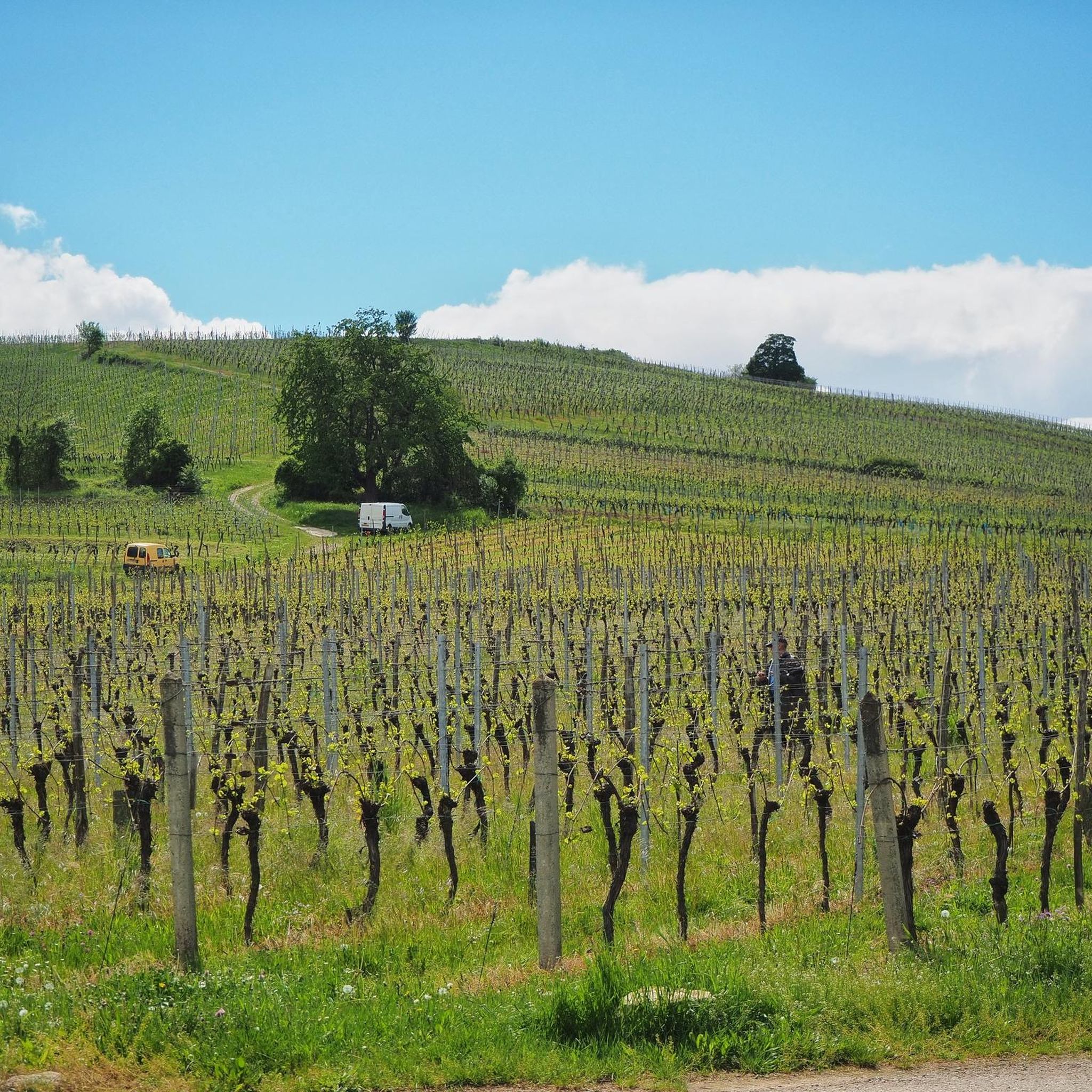
Gravel biking around Altdorf offers a diverse landscape characterized by valley paths, forested sections, and routes that follow waterways. The region features a mix of paved and unpaved surfaces, including forest roads and alpine paths, set against a backdrop of alpine peaks and valleys. Terrain ranges from relatively flat canal paths to more challenging ascents into hilly areas, providing varied conditions for gravel bikers. The scenic Reuss River and its delta are central to the landscape, with routes traversing its…
Last updated: July 3, 2026
4.3
(3)
18
riders
69.1km
05:09
1,190m
1,190m
Hard gravel ride. Very good fitness required. You may need to push your bike for some segments of this route.
3.5
(6)
15
riders
33.4km
02:26
470m
470m
Hard gravel ride. Very good fitness required. Mostly paved surfaces. Suitable for all skill levels.

Sign up for free
4.0
(3)
21
riders
29.6km
02:10
630m
630m
Hard gravel ride. Very good fitness required. Mostly paved surfaces. Suitable for all skill levels.
4.0
(2)
6
riders
52.4km
04:24
1,070m
1,070m
Hard gravel ride. Very good fitness required. You may need to push your bike for some segments of this route.
5.0
(2)
4
riders
42.5km
03:03
630m
630m
Hard gravel ride. Very good fitness required. You may need to push your bike for some segments of this route.
Get access to more routes and recommendations from other explorers.
Sign up for free
Already have an account?
Our route recommendations are based on thousands of hikes, rides, and runs completed by other people on komoot.
Start today with a free account
Your next adventure awaits.
Login or Signup
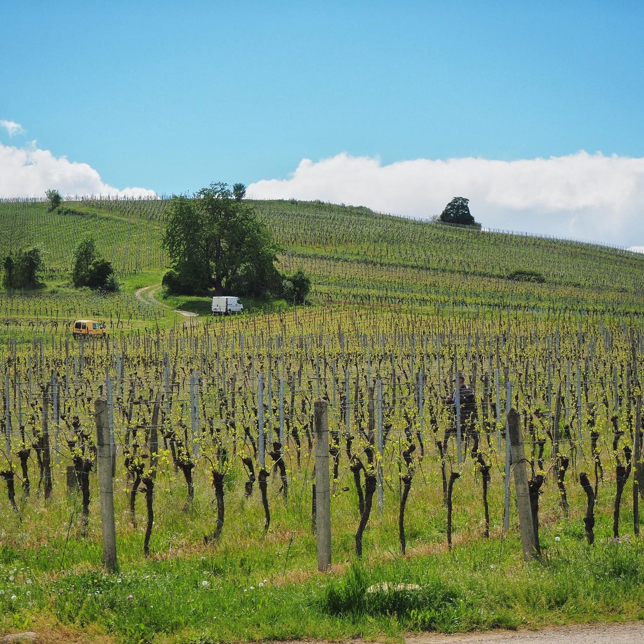
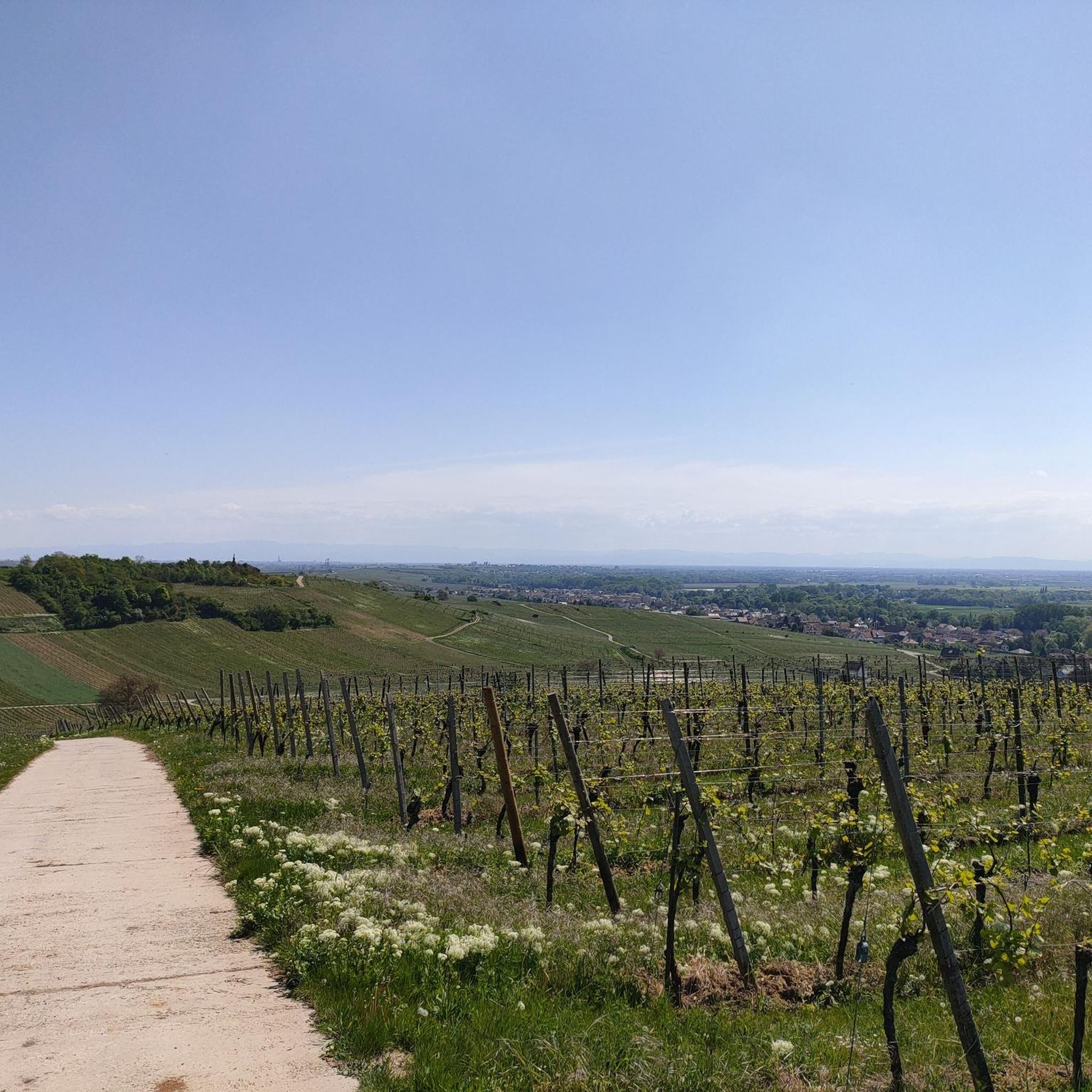
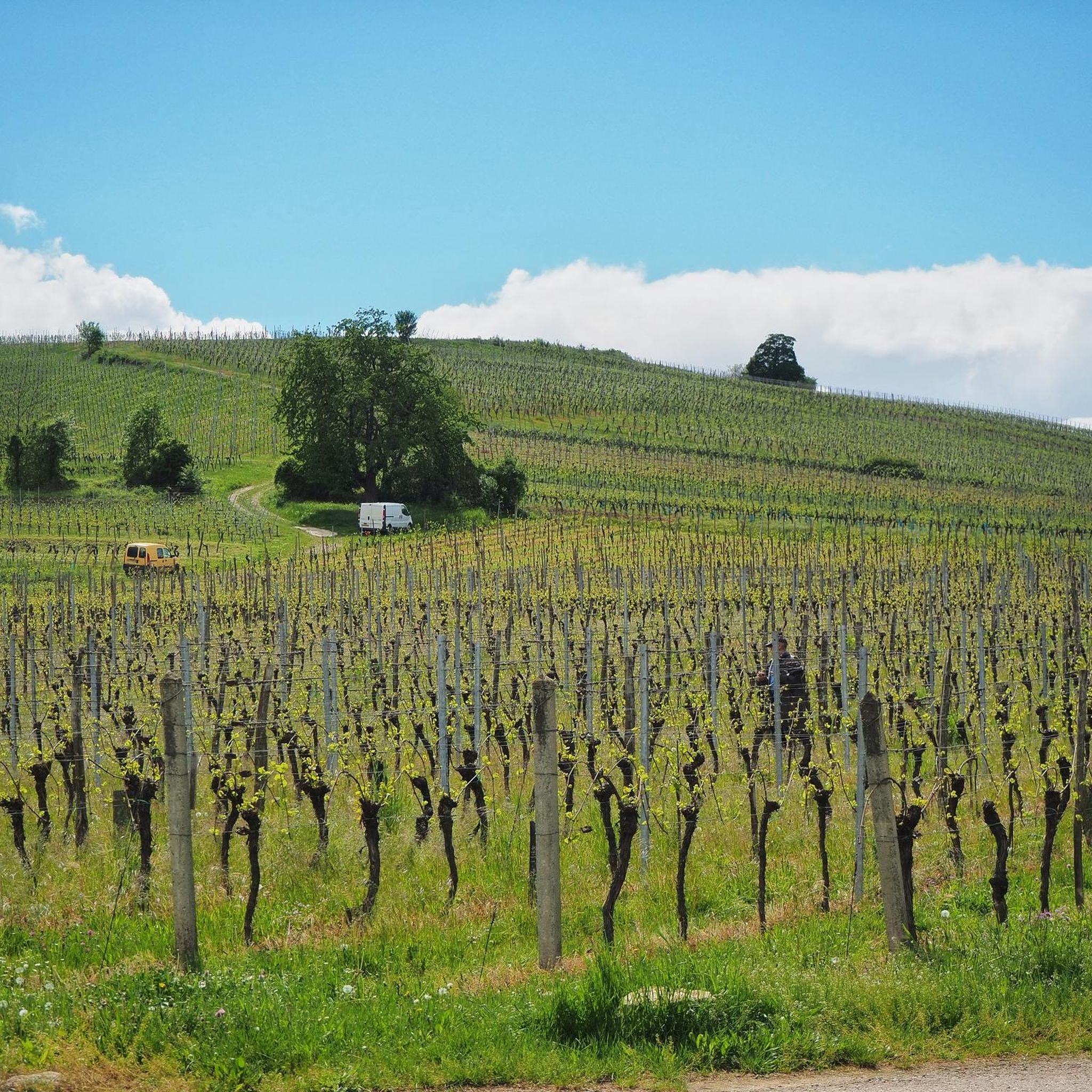
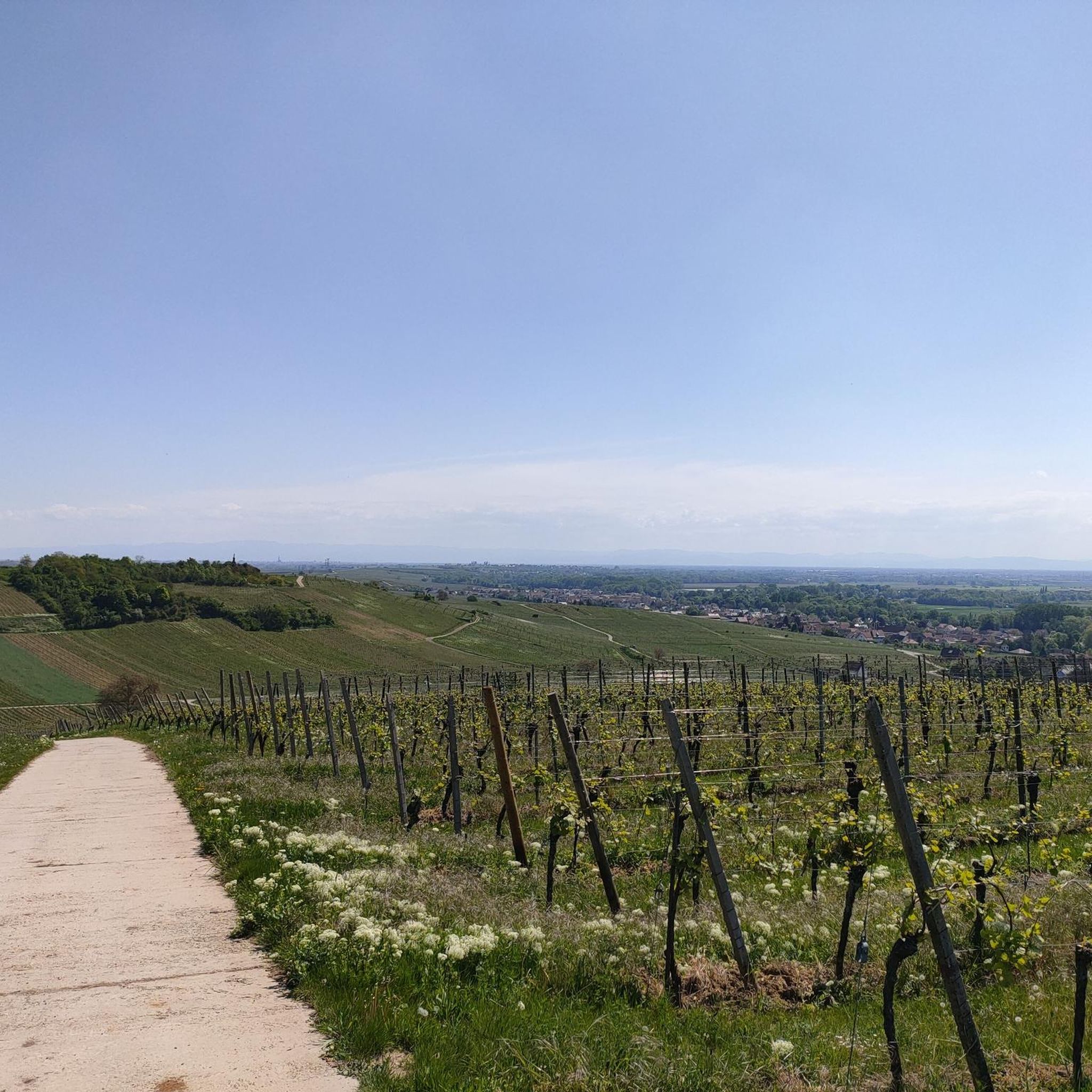
Tips from the Community

Opening hours daily: 9:00 - 12:00 and 14:00 - 18:00.
0
0

The town boasts a Renaissance six-bucket fountain from 1579, typical of Alsace. On the market square stands the former grain hall (Halle aux blés) from 1554, which has been converted into a restaurant.[19] After the Gothic Chapel Church, founded in the 13th century and originally called the 'Chapel of Our Lady,' was demolished in 1873,[20] the 60-meter-high tower next to the town hall (Hôtel de ville)[21] remained as the Chapel Tower (Tour de la Chapelle) from the 16th century. Above the fifth floor, it received a tracery parapet and a slate-covered helmet, so that it served the town as its belfry from then on. After the old parish church was demolished in 1867,[22] the neo-Gothic Church of Saints Peter and Paul (Saints-Pierre-et-Paul) was built between 1867 and 1872. It is one of the largest neo-Gothic churches in all of Alsace. The elaborately designed and richly decorated interior features, among other things, medieval altars from the previous church and an important organ by Joseph Merklin. East of the choir is the Chapel of the Virgin with a Mount of Olives group from 1517. The town once had 20 towers in the inner city wall, which is still largely preserved. Of the Capuchin monastery in Oberehndorf, only the Capuchin church survived. Above the town stands the monument to the Malgré-nous – the Alsatians from the canton of Obernai who were forcibly conscripted into the German Wehrmacht during World War II. Château d'Oberkirch, dating from the 16th and 17th centuries, renovated from 1843 to 1846 In the town park stands a sequoia tree, approximately 40 meters tall, planted in the 1850s.
0
0

The Saint-Nabor promontory, located in Alsace at the foot of Mont Sainte-Odile, offers a natural site rich in history and geology. It is known for its old porphyry quarries, a volcanic rock formed in the Carboniferous period, exploited long before their closure in 2002. The promontory rises to an altitude of approximately 340 meters in a semi-continental microclimate favoring vineyards and forests. It constitutes a belvedere offering a remarkable panorama of the Alsace plain, as far as Strasbourg and the Black Forest on a clear day. The site is accessible by well-marked hiking trails, notably the Saint-Nabor loop which passes by the Sainte-Lucie Fountain and the Pagan Wall. This peaceful place, away from the tourist hustle and bustle, is also a starting point for discovering the region, its heritage and its peaceful landscapes. It is steeped in history linked to the nearby Niedermunster monastery, now in ruins, and the presence of medieval remains.
0
0

Great church building, unfortunately the church was closed
0
0


VERY NICE FACULATE WALK
0
0

Easy-to-ride cycle path.
0
0
What a blessing, these fountains that are officially designated as drinking water fountains!
0
0
Frequently Asked Questions
How many gravel bike trails are available around Altdorf?
There are nearly 100 gravel bike trails around Altdorf, offering a wide range of options for different skill levels. You'll find 7 easy routes, 34 moderate, and 56 difficult trails to explore.
Are there any easy or beginner-friendly gravel bike routes in the Altdorf area?
Yes, Altdorf offers several easy gravel bike routes suitable for beginners. These often follow flatter terrain, such as the canal paths. For a moderate option that is relatively flat, consider the Canal de la Bruche – Canal de la Bruche loop from Duppigheim, which is 62.4 km long with minimal elevation gain.
What are some challenging gravel bike trails for advanced riders near Altdorf?
Advanced riders will find plenty of challenging routes with significant elevation changes. The Relais du Geisweg – Molsheim Old Town loop from Molsheim is a difficult 69.2 km path with over 1100 meters of ascent, offering varied terrain and views towards Molsheim Old Town. Another demanding option is the Mont Sainte-Odile Abbey – Mount Saint Odile loop from Rosheim, which covers 56 km through forested hills with over 1000 meters of climbing.
Are there circular gravel bike routes around Altdorf?
Many of the gravel bike routes around Altdorf are circular, allowing you to start and end at the same point. Examples include the Canal de la Bruche – Canal de la Bruche loop from Duppigheim and the Mont Sainte-Odile Abbey – Mount Saint Odile loop from Altorf.
What kind of terrain can I expect on gravel bike trails in Altdorf?
The terrain around Altdorf is quite diverse. You'll encounter relatively flat canal paths, forested sections, and routes that feature significant ascents into hilly areas, particularly around the Mont Sainte-Odile region. Surfaces can vary from smooth gravel to more rugged forest tracks.
What are the typical lengths and durations of gravel bike routes in this area?
Gravel bike routes around Altdorf vary significantly in length and duration. You can find routes ranging from shorter rides of around 40 km to longer excursions exceeding 60 km. Durations typically range from 3 to over 5 hours, depending on the distance, elevation, and your pace.
What are some interesting landmarks or attractions to see along the gravel bike trails?
Many routes offer scenic views and pass by historical sites. You can explore the Canal de la Bruche cycle path, which is a highlight in itself. For historical interest, routes near Molsheim might offer views of Molsheim Old Town, and trails in the hills can lead you past sites like the Mont Sainte-Odile Abbey. There are also several castles in the wider region, such as Dachstein Castle and Rohan Castle, Mutzig, which might be accessible from some routes.
What do other gravel bikers say about the trails around Altdorf?
The gravel bike trails around Altdorf are highly rated by the komoot community, with an average score of 4.5 stars from over 40 reviews. Riders often praise the diverse landscape, from tranquil canal paths to challenging climbs through forested hills, and the variety of options available for different skill levels.
Are there any routes that follow waterways or canals?
Yes, the region is well-known for its canal paths. The Canal de la Bruche cycle path is a prominent feature, and routes like the Canal de la Bruche – Rheinauen Wilderness Trail loop from Duppigheim offer pleasant rides along the water with minimal elevation change.
What is the best time of year for gravel biking around Altdorf?
Spring and autumn are generally ideal for gravel biking around Altdorf, offering pleasant temperatures and beautiful scenery. Summer can also be enjoyable, especially on shaded forest routes or along the canals. Winter riding is possible, but conditions can be variable, with potential for colder temperatures and occasional snow or ice, particularly on higher elevation trails.
Is public transport accessible near the gravel bike routes in Altdorf?
Altdorf itself is well-connected by regional train services in Alsace, France. Many starting points for routes, such as Molsheim or Duppigheim, are accessible by public transport, making it convenient to reach the trails without a car. It's advisable to check local train and bus schedules for specific route access points.
Most popular attractions around Altdorf

Get inspired with the komoot mobile app


Explore more
Browse the best Gravel rides in other regions.
