The best gravel rides around Saint-Sixt
4.5
(37)
368
riders
45
rides
Gravel biking around Saint-Sixt is situated within the Aravis massif in Haute-Savoie, France, offering a diverse terrain of alpine landscapes, forested valleys, and mountain passes. The region features a mix of valley bottoms and high mountain scenery, with routes traversing wooded areas and leading to panoramic viewpoints. Varied surfaces are present, from smoother paths to more rugged mountain tracks, suitable for gravel biking. This area provides challenging climbs and scenic paths through its dramatic alpine environment.
Best gravel bike trails…
Last updated: July 3, 2026
18
riders
42.0km
02:40
420m
420m
Moderate gravel ride. Good fitness required. Mostly paved surfaces. Suitable for all skill levels.
4.4
(5)
23
riders
36.4km
02:33
770m
770m
Hard gravel ride. Very good fitness required. Mostly paved surfaces. Suitable for all skill levels.

Sign up for free
4.8
(5)
36
riders
Moderate gravel ride. Good fitness required. Mostly paved surfaces. Suitable for all skill levels.
4.0
(1)
8
riders
40.0km
02:29
290m
290m
Moderate gravel ride. Good fitness required. Mostly paved surfaces. Suitable for all skill levels.
5
riders
31.9km
02:23
570m
570m
Hard gravel ride. Very good fitness required. Mostly paved surfaces. Suitable for all skill levels.
Get access to more routes and recommendations from other explorers.
Sign up for free
Already have an account?
Our route recommendations are based on thousands of hikes, rides, and runs completed by other people on komoot.
Start today with a free account
Your next adventure awaits.
Login or Signup
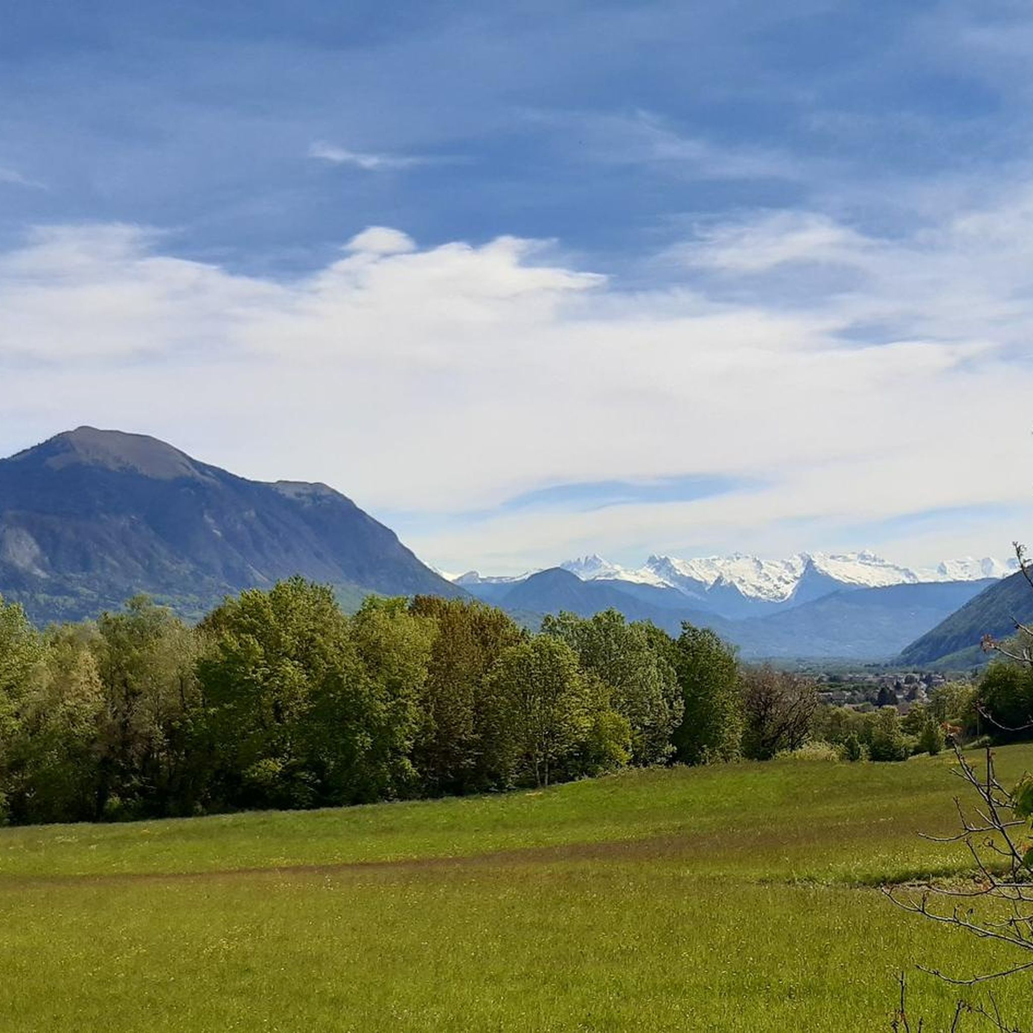
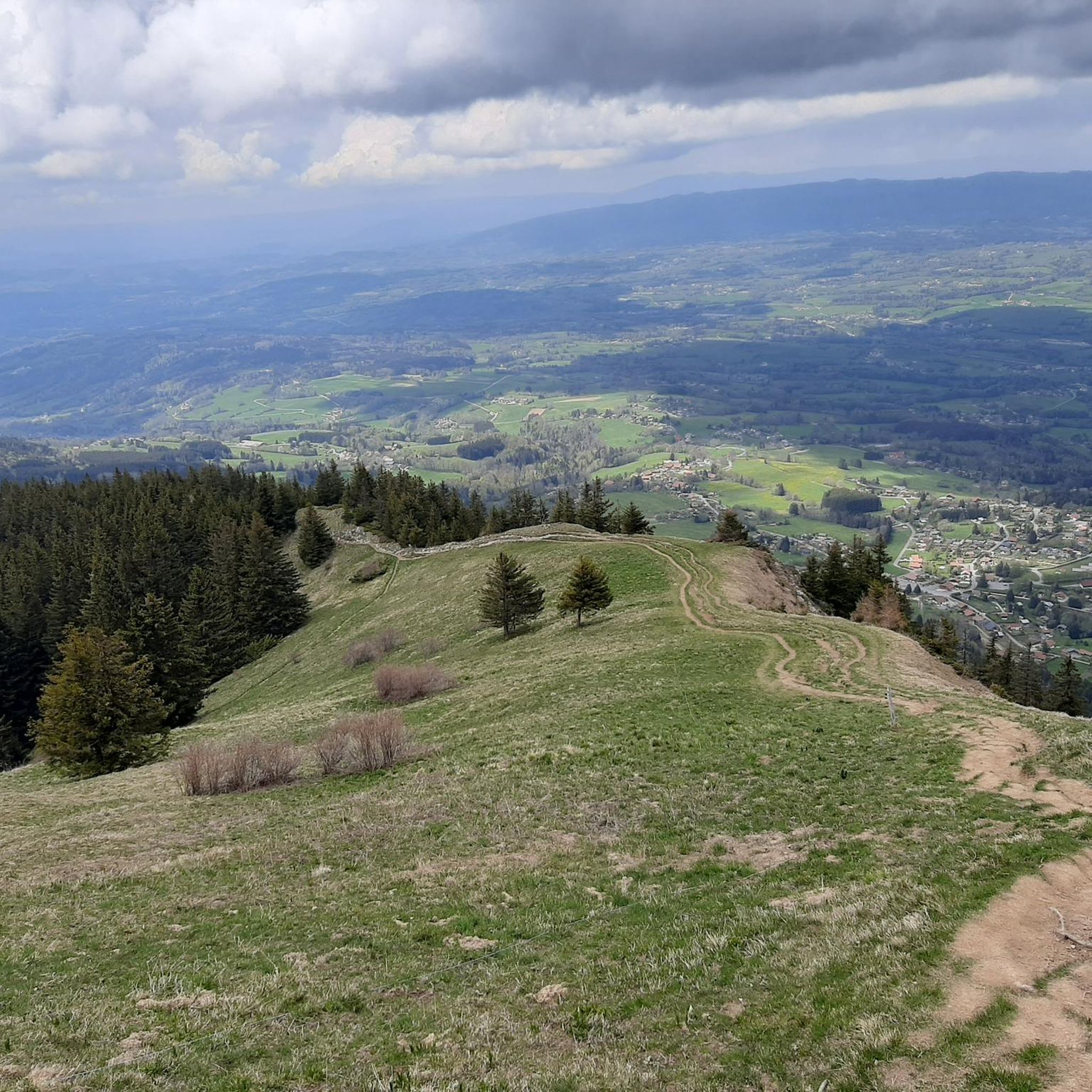
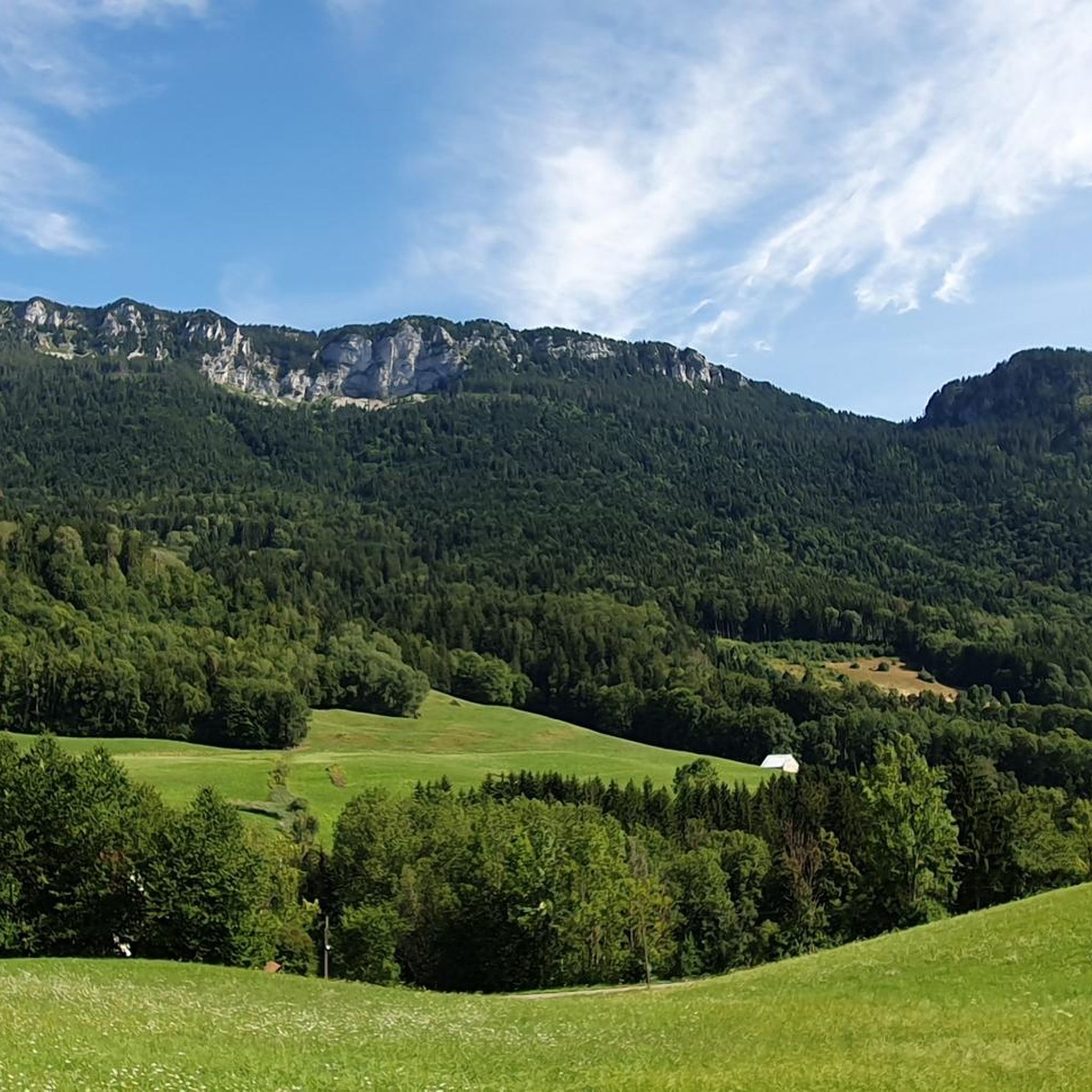
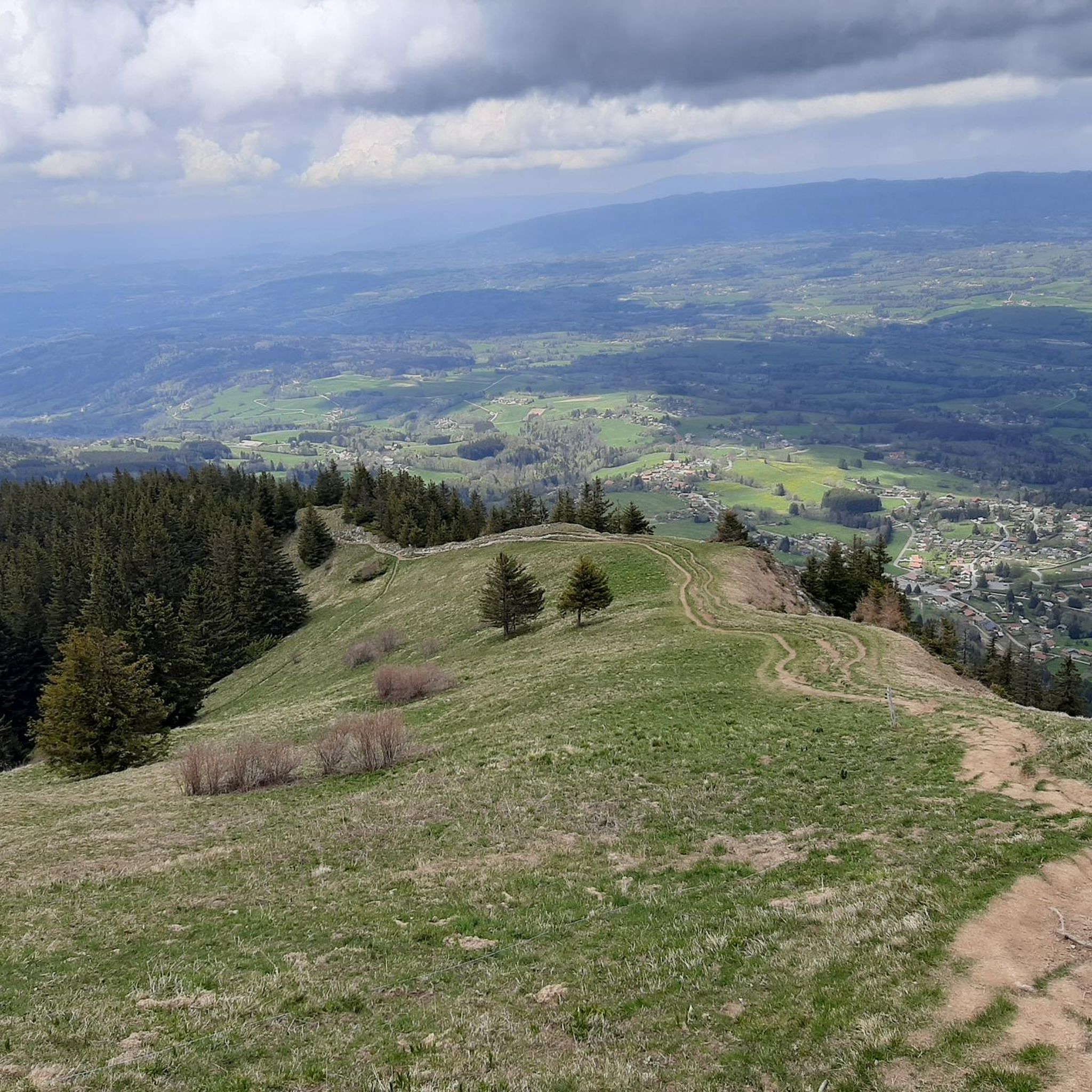
Tips from the Community


The structure is an asymmetrical cable-stayed bridge made of pre-stressed concrete, approximately 75 metres long. The pylon inclined at 15° to the vertical has the shape of an inverted V; the deck crosses this pylon without resting on it.
1
0
Intersection point Les Sablons Altitude 431m
1
0
Point of intersection Le Pelloux Altitude 427m
1
0
Point of intersection The Islands of Clermont Altitude 436m
1
0
Point d'intersection Sous Maclenay Altitude 435m
1
0
Point of intersection Passerelle de Saint Pierre Altitude 437m on the left bank of the Arve
1
0

Frequently Asked Questions
How many gravel bike trails are available around Saint-Jean-de-Sixt?
There are over 50 gravel bike trails in the Saint-Jean-de-Sixt area, offering a wide range of options for different skill levels. You'll find routes traversing valley bottoms, alpine landscapes, and wooded areas, with a mix of challenging climbs and scenic paths.
What are the typical difficulty levels for gravel biking in Saint-Jean-de-Sixt?
The trails around Saint-Jean-de-Sixt cater to various abilities. You'll find a few easy routes, around 15 moderate options, and nearly 40 difficult trails, many of which include significant elevation gain through the Aravis massif.
Are there any easy or family-friendly gravel bike routes in Saint-Jean-de-Sixt?
Yes, there are a few easy routes suitable for families or beginners. For instance, the Arve Path – Footbridge over the Arve loop from Saint-Pierre-en-Faucigny is a moderate option that follows the riverside, offering a less strenuous ride. While most routes involve some climbing due to the mountainous terrain, these easier options provide a good starting point.
What natural features or landmarks can I expect to see on gravel bike trails around Saint-Jean-de-Sixt?
Gravel biking in Saint-Jean-de-Sixt offers stunning views of the Aravis Massif, forested valleys, and alpine pastures. You can also explore historic areas like the Plateau des Glières. Many routes lead to panoramic viewpoints of surrounding peaks. Notable passes like the Glières Pass and Col des Fleuries are often incorporated into rides, providing iconic alpine scenery.
Are there any circular gravel bike routes in the area?
Yes, many of the gravel bike routes around Saint-Jean-de-Sixt are designed as loops. For example, the Footbridge over the Arve – Arve Path loop from La Roche-sur-Foron is a popular circular trail. Another option is the challenging Glières Pass – Col des Fleuries loop from La Roche-sur-Foron, which takes you through mountain passes and alpine scenery.
What do other gravel bikers enjoy most about the trails in Saint-Jean-de-Sixt?
The gravel biking routes in Saint-Jean-de-Sixt are highly regarded by the komoot community, with an average rating of 4.6 stars from over 30 reviews. Riders frequently praise the diverse terrain, from valley bottoms to alpine heights, and the breathtaking natural beauty of the Aravis massif. The mix of challenging climbs and scenic paths away from heavy traffic is also a major draw.
What is the best time of year for gravel biking in Saint-Jean-de-Sixt?
The best time for gravel biking in Saint-Jean-de-Sixt is typically from late spring through early autumn (May to October). During these months, the mountain passes are generally clear of snow, and the weather is more favorable for exploring the alpine landscapes and forested valleys. Winter conditions can make many higher-altitude routes impassable due to snow and ice.
Are there options for parking near the gravel bike trailheads?
Yes, many gravel bike routes in the Saint-Jean-de-Sixt area, particularly those starting from towns like La Roche-sur-Foron or Saint-Pierre-en-Faucigny, offer convenient parking options. It's advisable to check the specific tour details on komoot for parking information at your chosen trailhead.
Can I find cafes or restaurants along the gravel bike routes in Saint-Jean-de-Sixt?
While many routes traverse natural, less populated areas, you can often find cafes and restaurants in the villages and towns you pass through or start from, such as Saint-Jean-de-Sixt itself or nearby La Clusaz. Some mountain passes, like Col des Annes, even have refreshment bars at the top, offering a welcome break during your ride.
Are dogs allowed on gravel bike trails in the Saint-Jean-de-Sixt region?
Generally, dogs are permitted on most public trails in France, including gravel bike routes, especially in less regulated natural areas. However, it's always recommended to keep your dog on a leash, especially in alpine pastures where livestock may be present, and to ensure you clean up after them. Specific regulations might apply in certain protected areas, so always check local signage.
What kind of terrain can I expect on the gravel bike trails?
The terrain around Saint-Jean-de-Sixt is diverse. You'll encounter a mix of surfaces, from smoother gravel paths in valley bottoms to more rugged, unpaved tracks as you ascend into the mountains. Routes often combine sections of paved roads, forest roads, and singletrack, providing a true gravel biking experience through varied landscapes.
Most popular routes around Saint-Sixt
Most popular attractions around Saint-Sixt

Get inspired with the komoot mobile app


Explore more
Browse the best Gravel rides in other regions.
