The best gravel rides around Wittenheim
4.6
(47)
318
riders
81
rides
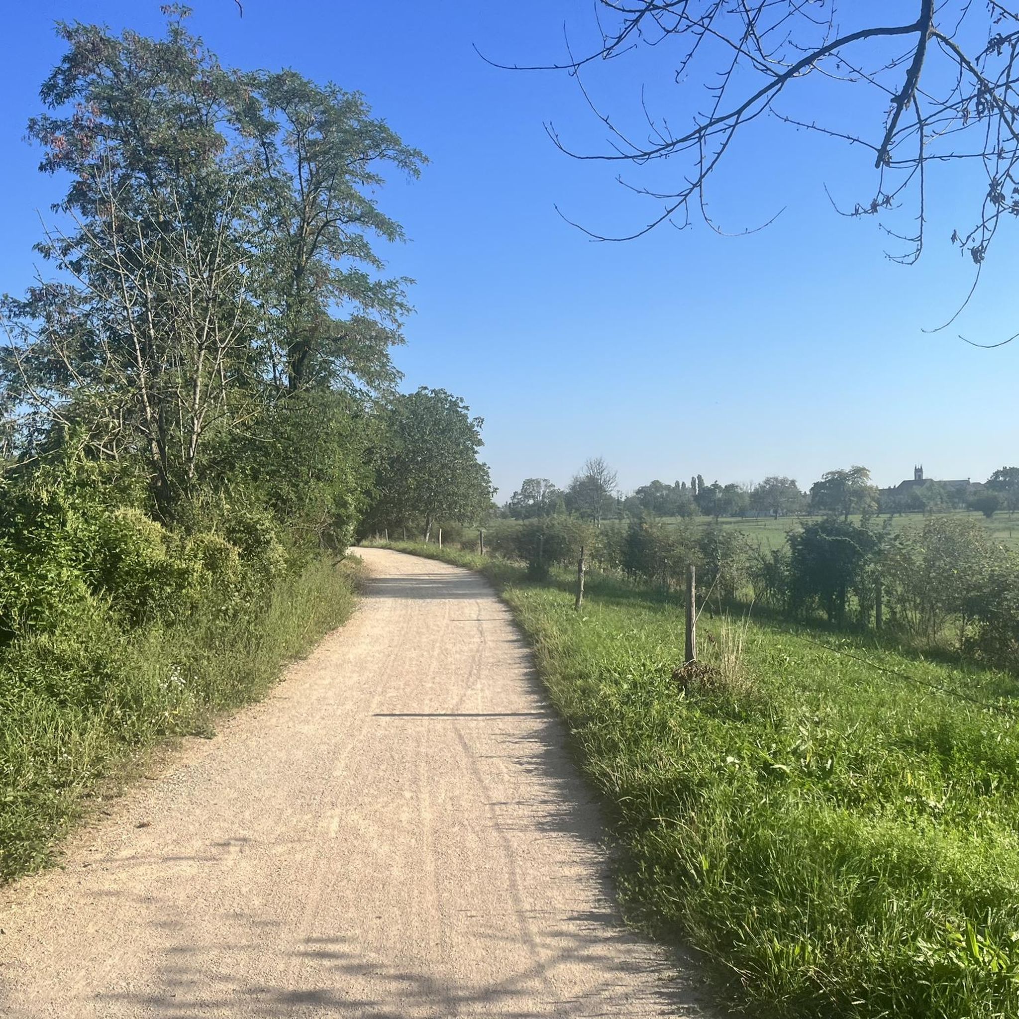
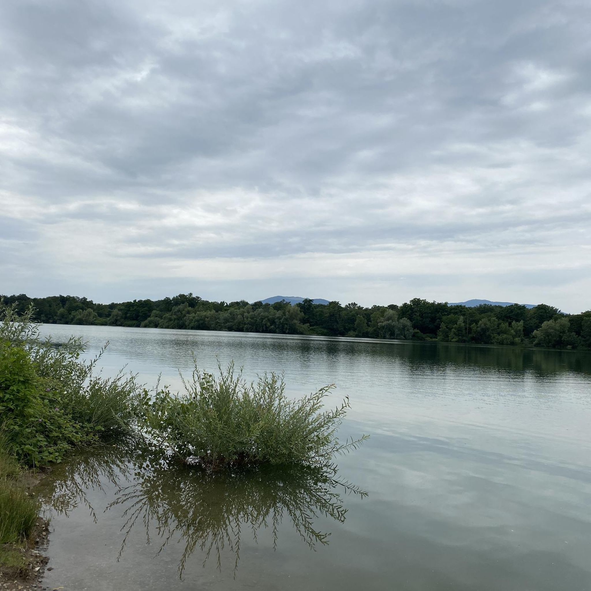
Gravel biking around Wittenheim offers access to diverse landscapes, from the flat, well-maintained paths along the Canal du Rhône au Rhin to the varied terrain of the Hardt Forest. The region features a mix of forest trails, agricultural tracks, and quiet country roads, providing varied surfaces for gravel cyclists. The Forêt du Nonnenbruch, with its steppe clearings, terrils, and old quarries, offers unique off-road paths. To the south, the Sundgau region introduces a more hilly relief with numerous trails.
Best gravel bike trails around Wittenheim
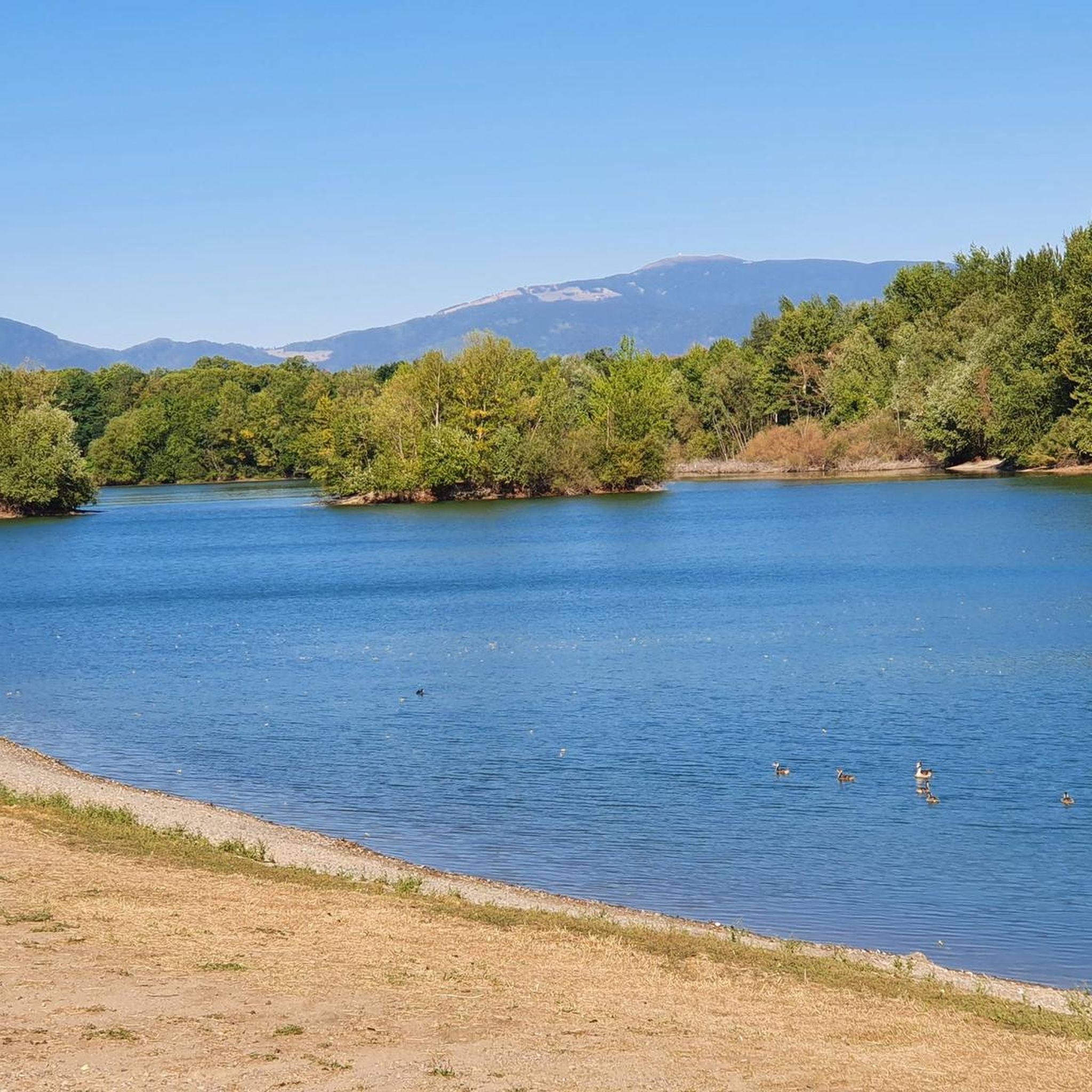
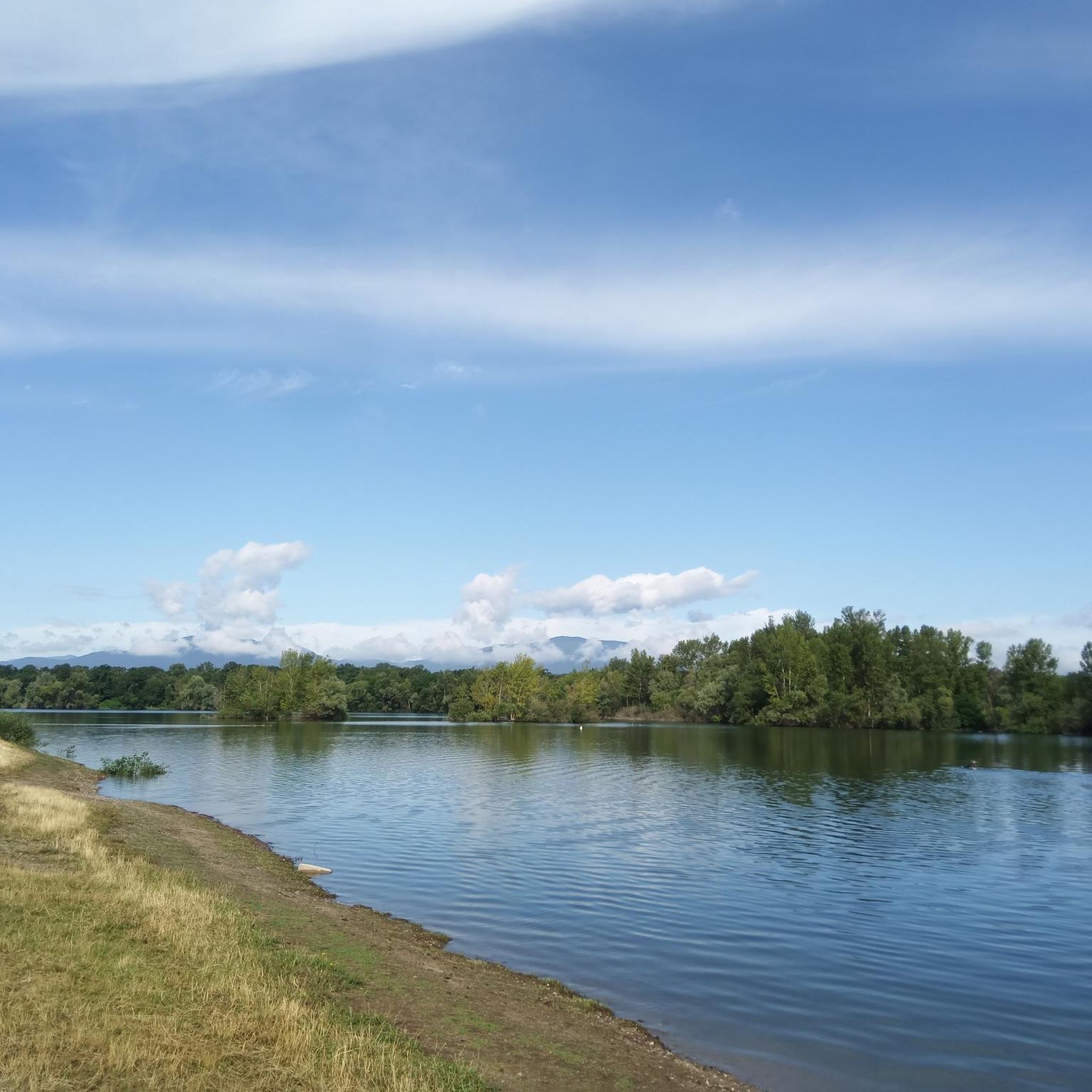
- The most popular gravel bike trail is Nice trailhead – Small lake with island loop from Mulhouse-Ville, a 29.2 miles (47.0 km) trail that takes 3 hours 42 minutes to complete. This route offers a challenging ride with significant elevation gain.
- Another top favourite among local gravel bikers is Bollenberg chapel – Gueberschwihr loop from Raedersheim, a moderate 29.5 miles (47.5 km) path. This route navigates through varied terrain, including forest sections and open landscapes.
- Local gravel bikers also love the Along the Ill – Abandoned Railway Bridge loop from Ensisheim, a 35.9 miles (57.9 km) trail leading through riverside paths and converted railway lines, often completed in about 3 hours 47 minutes.
- Gravel biking around Wittenheim is defined by canal paths, forest trails, and rural tracks. The network offers options for different ability levels, from easier routes along waterways to more challenging climbs in forested areas.
- The routes in Wittenheim are highly rated by the komoot community with an average score of 4.5 stars from over 40 reviews. More than 270 gravel bikers have used komoot to explore Wittenheim's varied terrain.
Last updated: July 3, 2026
4.8
(4)
12
riders
47.1km
03:43
640m
640m
Hard gravel ride. Very good fitness required. Mostly paved surfaces. Suitable for all skill levels.
4.3
(3)
13
riders
82.8km
05:11
730m
730m
Hard gravel ride. Very good fitness required. Mostly paved surfaces. Suitable for all skill levels.

Sign up for free
4.0
(1)
18
riders
57.8km
03:47
60m
60m
Moderate gravel ride. Good fitness required. Mostly paved surfaces. Suitable for all skill levels.
5.0
(3)
42
riders
43.8km
03:38
1,390m
1,390m
Hard gravel ride. Very good fitness required. Mostly paved surfaces. Suitable for all skill levels.
4.5
(2)
14
riders
25.6km
01:56
660m
660m
Hard gravel ride. Very good fitness required. Mostly paved surfaces. Suitable for all skill levels.
Get access to more routes and recommendations from other explorers.
Sign up for free
Already have an account?
Our route recommendations are based on thousands of hikes, rides, and runs completed by other people on komoot.
Start today with a free account
Your next adventure awaits.
Login or Signup
Tips from the Community


Beautiful spot in the vast hills overlooking Habsheim
0
0

The chapel was built in 1930 on the site of a former wayside cross. It is dedicated to Saint Morand, a Cluny monk who became an apostle of the Sundgau region (11th century), patron saint of the parish of Steinbach and the village's winegrowers. It is also commonly known as Lohkapala.
0
0

The Cernay National Cemetery is a memorial dedicated to the soldiers who fell during the battles of Vieil-Armand and Steinbach in the summer of 1914. Created in 1920, it was designed to house the bodies exhumed from temporary military cemeteries in the region and was reorganized after World War II to include soldiers who died between 1940 and 1945. This cemetery contains 2,238 French bodies, as well as Czech, Russian, British, and Serbian combatants. Two ossuaries contain the remains of 938 combatants.
0
0

Great climb - a must for every road cyclist
0
0

Beautiful view of the river Ill in Sundhoffen.
0
0

Numerous German Jewish (!) soldiers from the First World War are also buried in this cemetery.
2
0
Frequently Asked Questions
How many gravel bike trails are available around Wittenheim?
There are over 90 gravel bike routes around Wittenheim listed on komoot, offering a wide variety of options for different skill levels and preferences.
Are there any easy gravel routes suitable for beginners or families?
Yes, Wittenheim offers 12 easy gravel routes. While specific family-friendly routes aren't detailed, the flat, well-maintained paths along the Canal du Rhône au Rhin are generally accessible and suitable for various fitness levels, making them a good option for beginners or families. You can explore routes that incorporate these canal paths.
What kind of terrain can I expect on gravel bike trails near Wittenheim?
The region offers diverse terrain. You'll find flat, well-maintained paths along the Canal du Rhône au Rhin, forest trails within the Hardt Forest, agricultural tracks, and quiet country roads. To the south, the Sundgau region provides a more hilly relief with numerous varied trails, combining quiet country roads with white forest or farm tracks.
Are there any long-distance gravel routes for experienced riders?
Yes, for experienced riders seeking longer distances, routes like the Eguisheim Village – Panoramic view from the vineyards loop from Raedersheim cover over 90 km and offer significant challenges with panoramic views. The region's proximity to the EuroVelo 6 route along the Canal du Rhône au Rhin also allows for extensive biking adventures.
What are some notable landmarks or attractions I can see along the gravel routes?
Many routes offer scenic views and pass by interesting points. You can ride alongside the historic Rhône–Rhine Canal, explore the natural environment of the Hardt Forest, or encounter historical sites like the Hardt Battles Memorial. Some routes also offer panoramic views, particularly in the vineyard areas.
Are there any circular gravel bike trails around Wittenheim?
Yes, many of the gravel routes around Wittenheim are designed as loops. For example, the Bollenberg chapel – Gueberschwihr loop from Raedersheim is a popular circular route that navigates through varied terrain. The Along the Ill – Abandoned Railway Bridge loop from Ensisheim is another excellent option for a circular ride.
What is the best time of year for gravel biking in Wittenheim?
The region is generally pleasant for gravel biking from spring through autumn. Spring offers blooming landscapes, while autumn provides beautiful foliage. Summer is also suitable, but it's advisable to start early to avoid the midday heat. Winter conditions can vary, with potential for colder temperatures and occasional snow, especially in forested or higher elevation areas.
What do other gravel bikers say about the trails in Wittenheim?
The gravel biking routes around Wittenheim are highly rated by the komoot community, with an average score of 4.5 stars from over 40 reviews. Riders often praise the varied terrain, from peaceful canal paths to challenging forest sections, and the scenic beauty of the Haut-Rhin department.
Where can I find parking for gravel biking near Wittenheim?
While specific parking locations for each route are best checked on individual tour pages, Wittenheim's location as a northern suburb of Mulhouse means there are generally parking options available in and around the towns that serve as starting points for these trails. Look for public parking in nearby villages or trailheads.
Are there any challenging gravel routes for advanced riders?
Absolutely. For advanced riders seeking a challenge, routes like the Molkenrain - Cernay – Chapelle de la Loh loop from Cernay offer significant elevation gain and demanding terrain. The Sundgau region to the south also provides a more hilly relief with numerous trails that will test your skills.
Can I combine gravel biking with other activities or explore nearby cities?
Yes, Wittenheim's strategic location allows for easy access to other attractions. You can combine your ride with exploring Mulhouse, a larger city with amenities and attractions like the Parc Zoologique et Botanique. The region's extensive cycling networks, including parts of the EuroVelo routes, also connect to picturesque Alsatian villages, offering opportunities for cultural stops.
Most popular routes around Wittenheim
Most popular attractions around Wittenheim

Get inspired with the komoot mobile app


Explore more
Browse the best Gravel rides in other regions.
