The best gravel rides around Heiligenberg
4.8
(14)
113
riders
46
rides
Gravel biking around Heiligenberg offers diverse landscapes, from ravine and floodplain forests to hilly terrain shaped by the Ice Age. The region features an elevated position between 700 and 800 meters above sea level, providing panoramic views of Lake Constance and the Alps. Extensive forest paths and unpaved sections cater to the versatility of gravel bikes, allowing exploration through orchards, tranquil villages, and lush meadows.
Best gravel bike trails around Heiligenberg
- The most popular gravel bike trail is Route des…
Last updated: July 3, 2026
5.0
(1)
15
riders
120km
09:17
2,200m
2,200m
Hard gravel ride. Very good fitness required. Mostly paved surfaces. Suitable for all skill levels.
9
riders
Hard gravel ride. Very good fitness required. Mostly paved surfaces. Suitable for all skill levels.

Sign up for free
4.7
(3)
4
riders
19.7km
01:21
450m
450m
Moderate gravel ride. Good fitness required. Mostly paved surfaces. Suitable for all skill levels.
5.0
(1)
5
riders
72.8km
05:14
1,370m
1,370m
Hard gravel ride. Very good fitness required. You may need to push your bike for some segments of this route.
4.0
(2)
7
riders
43.0km
03:45
1,070m
1,070m
Hard gravel ride. Very good fitness required. Mostly paved surfaces. Suitable for all skill levels.
Get access to more routes and recommendations from other explorers.
Sign up for free
Already have an account?
Our route recommendations are based on thousands of hikes, rides, and runs completed by other people on komoot.
Start today with a free account
Your next adventure awaits.
Login or Signup
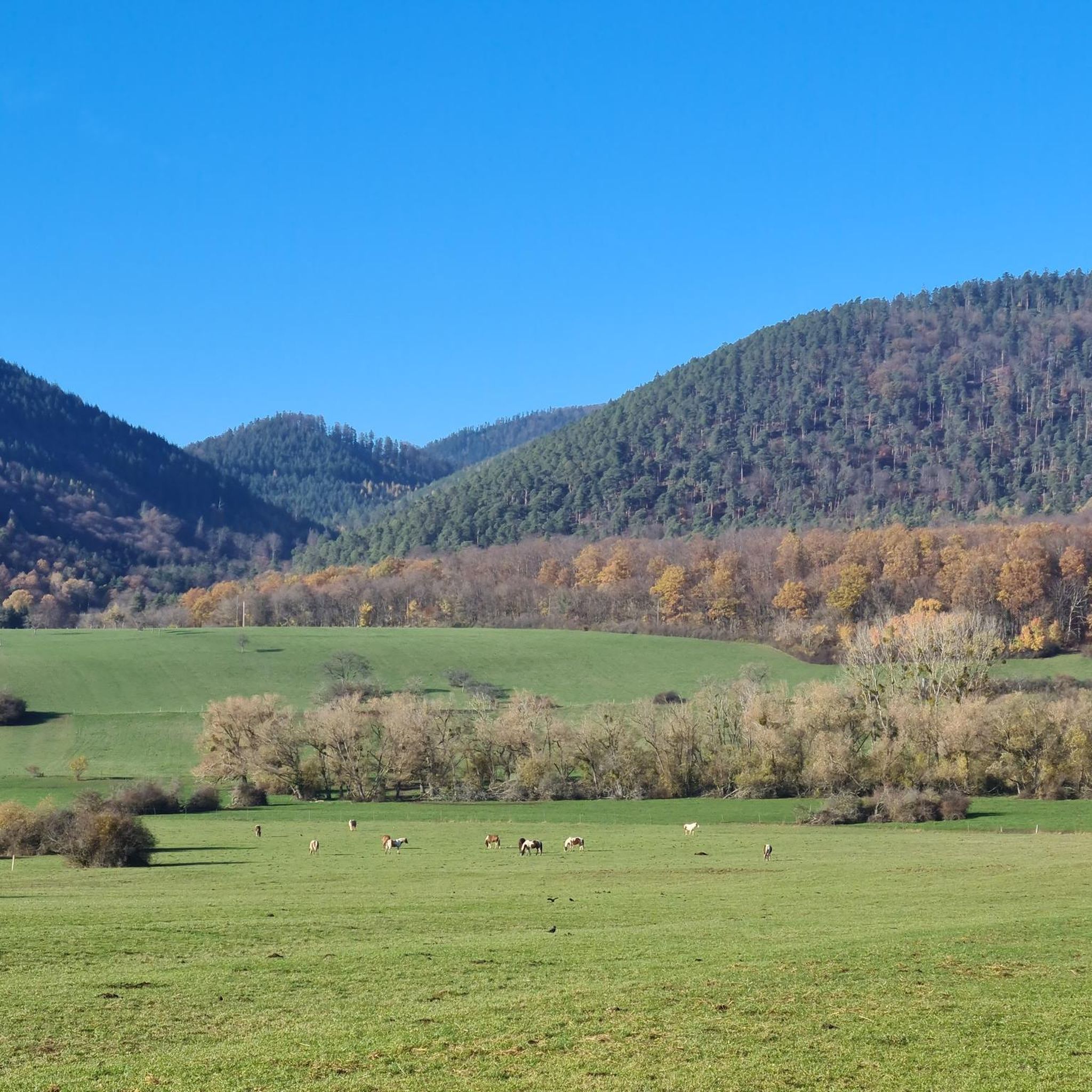
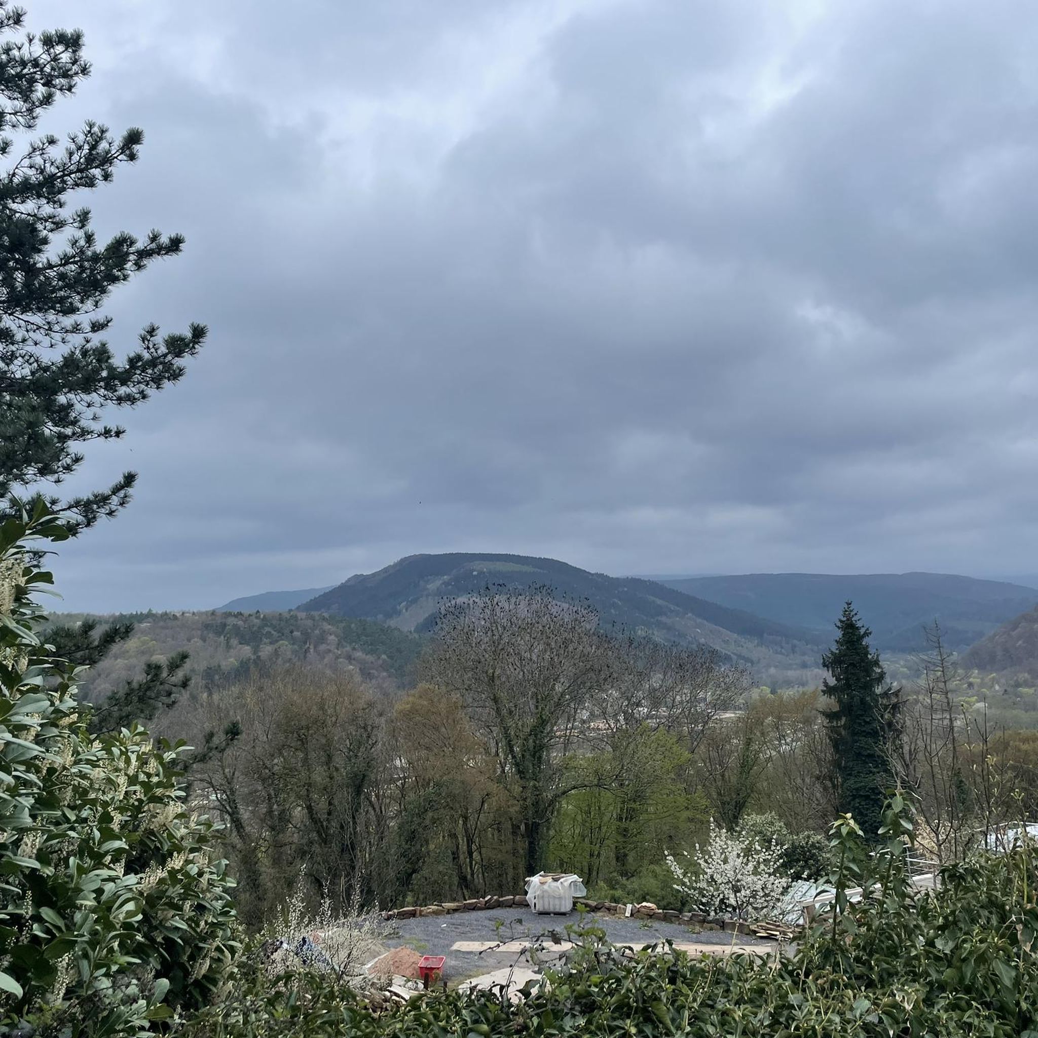
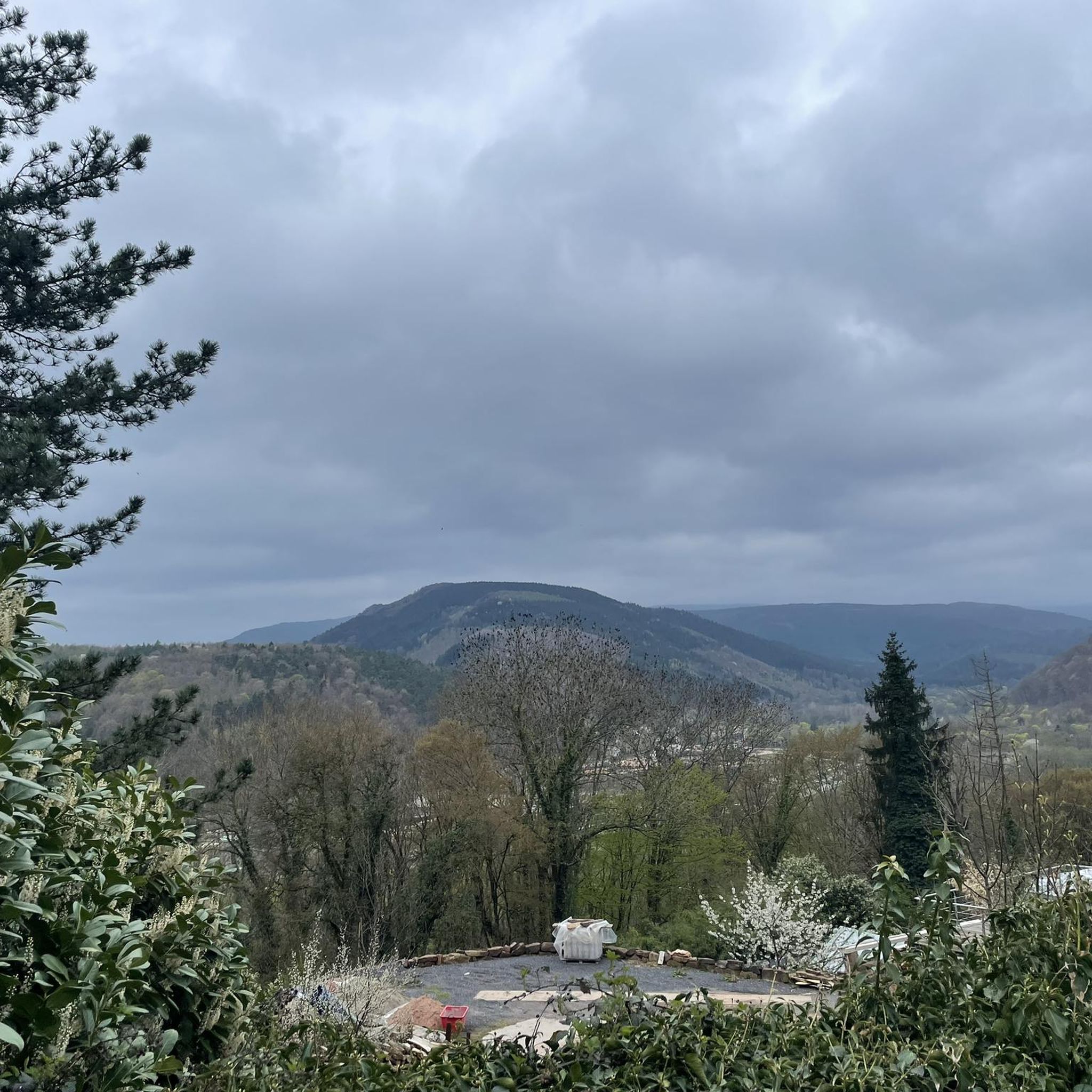
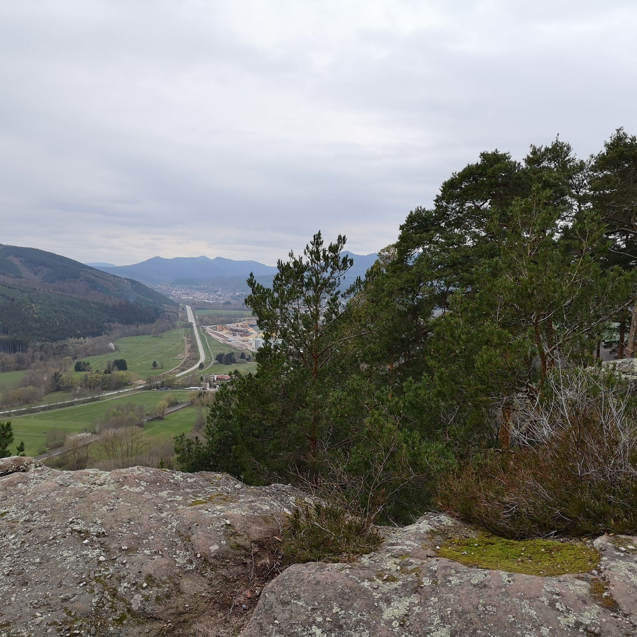
Tips from the Community

Very good place to stop for refreshments!
0
0

Champ du Feu, at 1099 meters, is the highest mountain in the Bas-Rhin department of the Vosges in Alsace. It lies between the towns of Belmont and Le Hohwald and consists of an extensive high plateau with forests, meadows, and moorlands. The area is a popular nature and recreational area. In summer, it is mainly used for hiking, mountain biking, and nature observation. In winter, there is a small ski area with cross-country trails and simple slopes for winter sports. The brook La Serva originates from Champ du Feu, later forming the Cascade de la Serva. In clear weather, the summit offers wide views over the Vosges, the Rhine plain, and as far as the Black Forest. The area is particularly known for its tranquil nature, high moors, sunrises and starry skies, as well as well-marked hiking trails.
0
0

This section of the cycle path that crosses the Bruche Valley is one of the most beautiful. The landscape is completely unobstructed, allowing you to admire the first Vosges mountains. All this while cycling on a very high-quality surface.
0
0

Very nice to ride: moderate gradient, little traffic.
0
1

The kitchen had already closed at 3 p.m. on Sunday afternoon, so there were no hot or cold food left. Only cake and ice cream, but that was good. 💲💲Cash only. 💲💲
0
0

A long and beautiful forest road. However, it's bumpy in places on a road bike!
0
0

What a blessing, these fountains that are officially designated as drinking water fountains!
0
0

The place is good for sleeping but you will have to walk a little lower down to the water point.
2
0
Frequently Asked Questions
How many gravel bike trails are available around Heiligenberg?
Heiligenberg offers a wide selection of gravel biking routes, with over 50 trails available. These routes cater to various skill levels, including 16 moderate and 40 difficult options.
What kind of landscapes can I expect on gravel bike trails in Heiligenberg?
The region boasts diverse landscapes, from magnificent ravine and floodplain forests to hilly terrain shaped by the Ice Age. You'll cycle through orchards, tranquil villages, and lush meadows, often with panoramic views of Lake Constance, the Linzgau, and Hegau regions. Many routes feature crunchy paths and views over vineyards.
Are there any family-friendly gravel bike routes in Heiligenberg?
While many routes in Heiligenberg are classified as moderate to difficult, the diverse terrain means there are paths suitable for various fitness levels. For a moderate option that offers a mix of forest paths and open sections, consider the Pandours Pass – Col des Pandours loop from Glossberg, which is about 19.7 km long.
What are some challenging gravel bike routes for experienced riders?
Experienced riders looking for a challenge will find plenty of difficult routes with significant elevation gains. The Route des Pionniers – La Porte de Pierre loop from Heiligenberg - Mollkirch is a demanding 51.2 km trail with over 850 meters of ascent. Another option is the Mont Sainte-Odile Abbey – Mount Saint Odile loop from Rosenwiller, a 64.8 km route through historical sites and forested areas with over 1450 meters of climbing.
What historical sites or attractions can I see along the gravel bike trails?
Heiligenberg's routes often pass by significant historical and cultural attractions. You can explore sites like the medieval monastery ruins of St. Michael and St. Stephen, or even ancient Celtic fort and Roman temple remains. For specific landmarks, consider visiting Rathsamhausen Castle or the Ruins of Nideck Castle, which are accessible from some routes.
Are there any natural monuments or viewpoints to discover?
Yes, the region is rich in natural beauty and offers several viewpoints. You can find natural monuments such as the Stone Gate or the Rocher des Géants. Many routes also provide panoramic views of Lake Constance and the surrounding Linzgau and Hegau regions, especially from higher elevations like the Schneeberg Summit.
What do other gravel bikers enjoy most about Heiligenberg?
The area is highly rated by the komoot community, with an average score of 4.6 stars from over 20 reviews. Riders often praise the diverse terrain, from ravine forests to vineyards, and the challenging ascents that reward with stunning panoramic views. The well-maintained paths and the blend of natural beauty with historical sites are also frequently highlighted.
Are there any long-distance gravel routes for full-day adventures?
Absolutely. For full-day adventures, you can tackle routes like the Prayé Forest Road – Lac de la Maix loop from Urmatt, which spans over 71 km with significant elevation, or the La Rothlach – Rocher de Rathsamhausen loop from Lutzelhouse, a 43.8 km route with over 1000 meters of climbing.
When is the best time of year to go gravel biking in Heiligenberg?
Heiligenberg's diverse landscapes, including its unusually temperate forest, make it enjoyable across seasons. Spring and autumn offer pleasant temperatures and vibrant scenery, while summer provides longer daylight hours. The region's unique flora, like flowering almond trees and fig trees, can be particularly beautiful in warmer months.
Are there any loop trails available for gravel biking?
Yes, many of the gravel bike routes in Heiligenberg are designed as loops, allowing you to start and end at the same point. Examples include the Route des Pionniers – La Porte de Pierre loop from Heiligenberg - Mollkirch and the Pandours Pass – Col des Pandours loop from Glossberg, offering convenient circular journeys.
Can I find routes that pass through charming towns or offer cafe stops?
Many gravel routes in the Heiligenberg area are designed to pass through charming villages and even the historic old town of Heidelberg, providing opportunities for cultural exploration and culinary stops. While specific cafe stops are not detailed for every route, the presence of these towns suggests places to refuel and relax.
Most popular routes around Heiligenberg
Most popular attractions around Heiligenberg

Get inspired with the komoot mobile app


Explore more
Browse the best Gravel rides in other regions.
