The best gravel rides around Émerchicourt
4.3
(40)
271
riders
52
rides
Gravel biking around Émerchicourt offers diverse terrain within the Nord department of the Hauts-de-France region. The area features tranquil paths along the Canal de la Sensée and around the Bassin Rond, providing flat and accessible routes. Additionally, the region incorporates rewilded industrial landscapes of the Nord-Pas-de-Calais Mining Basin, with former slag heaps (terrils) and old railway lines (cavaliers) offering varied surfaces. The topography is generally gentle, with altitudes ranging between 26 and 71 meters, making many routes accessible for various fitness levels.
Best gravel bike trails around Émerchicourt
- The most popular gravel bike trail is Étang des Argales – Marchiennes State Forest loop from Somain, a 40.2 miles (64.8 km) trail that takes 4 hours 9 minutes to complete. This moderate route explores the natural areas around the Étang des Argales and through the Marchiennes State Forest.
- Another top favourite among local gravel bikers is Bridge Over the Scarpe loop from Somain, an easy 21.7 miles (34.9 km) path. This route follows the waterways of the Scarpe, offering a calm and scenic ride along the canal.
- Local gravel bikers also love the Étang des Argales – Marchiennes State Forest loop from Abscon, a 30.8 miles (49.5 km) trail leading through forest and lake landscapes, often completed in about 2 hours 32 minutes.
- Gravel biking around Émerchicourt is defined by canal towpaths, rewilded mining landscapes with terrils, and forest trails. The network offers options for different ability levels, from easy canal-side rides to more challenging paths over varied terrain.
- The routes in Émerchicourt are highly rated by the komoot community with an average score of 4.1 stars from over 30 reviews. More than 200 gravel bikers have used komoot to explore Émerchicourt's varied terrain.
Last updated: July 3, 2026
4.0
(2)
21
riders
64.9km
03:20
180m
180m
Moderate gravel ride. Good fitness required. Mostly paved surfaces. Suitable for all skill levels.
4.0
(2)
21
riders
62.8km
03:22
120m
120m
Moderate gravel ride. Good fitness required. Mostly paved surfaces. Suitable for all skill levels.

Sign up for free
4.3
(4)
27
riders
34.9km
01:47
100m
100m
Easy gravel ride. Great for any fitness level. Mostly paved surfaces. Suitable for all skill levels.
16
riders
59.0km
02:58
100m
100m
Moderate gravel ride. Good fitness required. Mostly paved surfaces. Suitable for all skill levels.
4.7
(9)
23
riders
49.5km
02:32
120m
120m
Moderate gravel ride. Good fitness required. Mostly paved surfaces. Suitable for all skill levels.
Get access to more routes and recommendations from other explorers.
Sign up for free
Already have an account?
Our route recommendations are based on thousands of hikes, rides, and runs completed by other people on komoot.
Start today with a free account
Your next adventure awaits.
Login or Signup
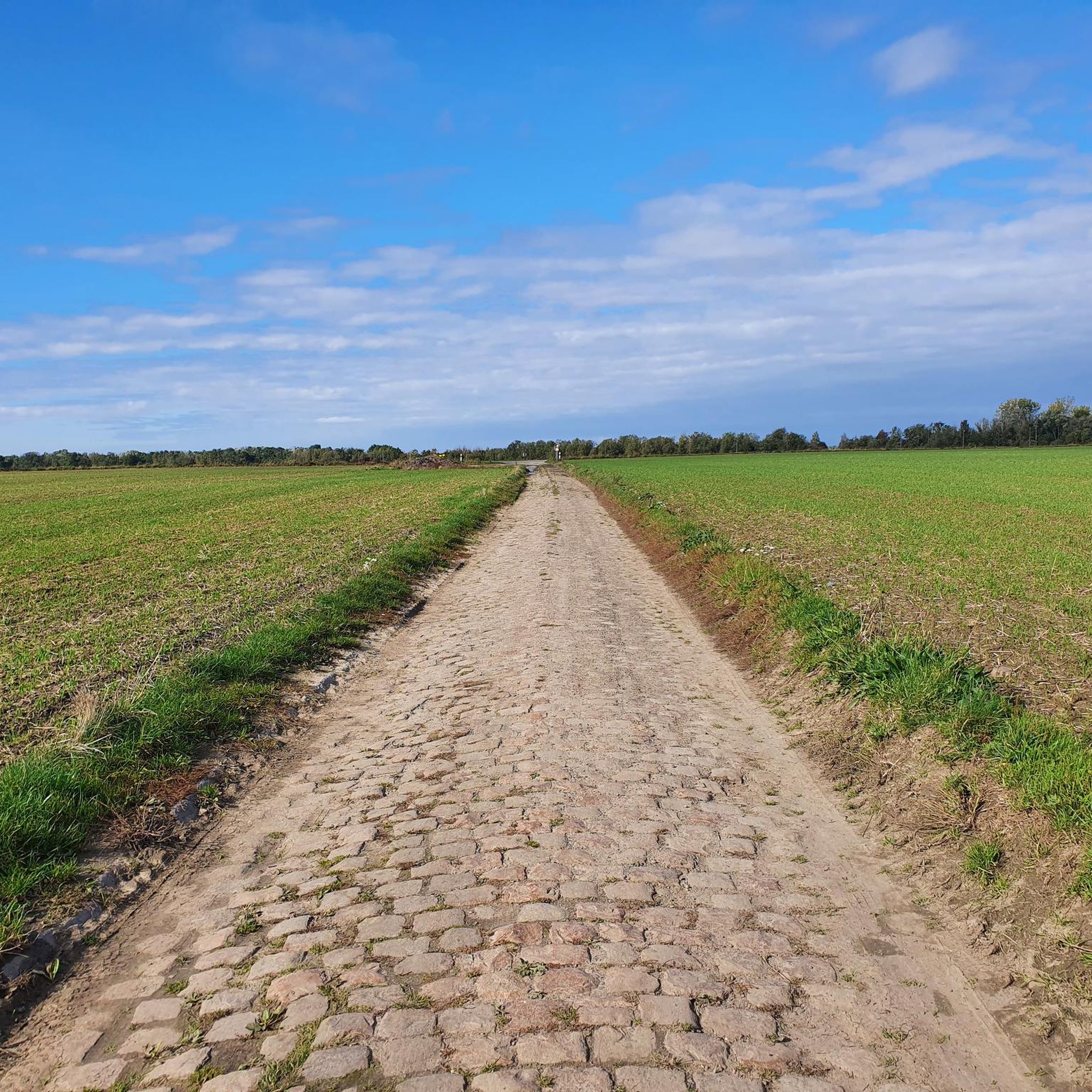

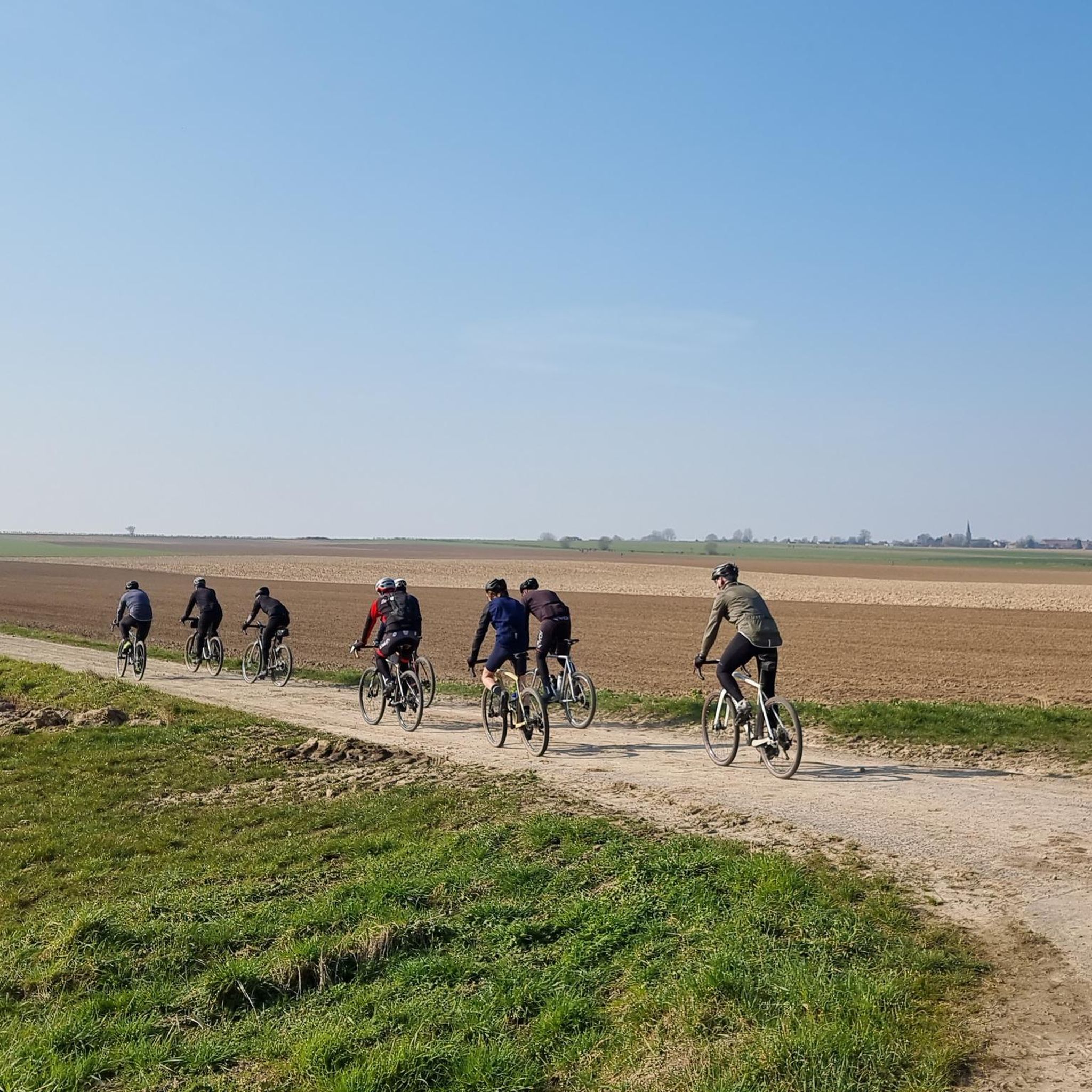
Tips from the Community

Enjoy nature instead of the hustle and bustle.
0
0


This greenway is a beautiful way to cycle in the Scarpe-Escaut Regional Nature Park. Here you follow the canalised river.
1
0
Frequently Asked Questions
How many gravel bike trails are available around Émerchicourt?
There are over 60 gravel bike trails to explore around Émerchicourt, offering a wide range of options for different skill levels and preferences.
What kind of terrain can I expect on gravel bike trails near Émerchicourt?
The terrain is quite diverse. You'll find tranquil, flat paths along the Canal de la Sensée and around the Bassin Rond. Additionally, many routes traverse the rewilded industrial landscapes of the Nord-Pas-de-Calais Mining Basin, featuring former slag heaps (terrils) and old railway lines (cavaliers), which offer varied surfaces and more challenging segments. Routes often combine paved roads with rougher paths, including forested areas and country lanes.
Are there easy gravel biking routes suitable for beginners or families?
Yes, Émerchicourt offers 10 easy gravel biking routes. The paths along the Canal de la Sensée and around the Bassin Rond are particularly well-suited for gentle exploration, providing flat and accessible terrain ideal for all fitness levels, including families. An example is the Bridge Over the Scarpe loop from Somain, an easy 21.7-mile path following waterways.
What are some challenging gravel bike trails for experienced riders?
For more experienced riders seeking a challenge, there are 11 difficult routes available. These often incorporate the varied terrain of the former mining landscapes, including the 'terrils' (slag heaps) and 'cavaliers' (old railway lines). One such route is the Argalles spoil tip and pond – Bridge Over the Scarpe loop from Auberchicourt, which is a difficult 22.3-mile ride.
Can I find circular gravel bike routes in the area?
Yes, the majority of gravel bike routes around Émerchicourt are designed as loops, allowing you to start and finish at the same point. For instance, the popular Étang des Argales – Marchiennes State Forest loop from Somain is a 40.2-mile circular trail.
What natural sights or landmarks can I see along the gravel routes?
Many routes offer scenic views of the Canal de la Sensée and the Bassin Rond. You can also encounter unique natural monuments like the Terril des Argales and the Terril 125 of Sainte-Marie, which are former slag heaps now rewilded into natural sites. The Étang des Argales is another prominent natural feature you might pass.
Are there any historical or cultural attractions accessible from the gravel trails?
While Émerchicourt itself is small, its surrounding region is rich in mining heritage. The broader Nord-Pas-de-Calais mining basin is a UNESCO World Heritage site. You might pass by historical sites such as the stone that grows or the Country house of the Abbey of Saint-Aubert in Cambrai. The Mining History Centre in Lewarde is also approximately 5.7 km from Émerchicourt, offering a cultural interlude.
What do other gravel bikers say about the trails in Émerchicourt?
The gravel biking routes in Émerchicourt are highly rated by the komoot community, with an average score of 4.1 stars from over 30 reviews. Riders often praise the diverse landscapes, from tranquil canal paths to the unique rewilded mining areas, and the variety of options for different ability levels.
What is the best time of year for gravel biking in Émerchicourt?
The region's relatively gentle topography makes it suitable for gravel biking through much of the year. Spring and autumn offer pleasant temperatures and beautiful scenery. While winter biking is possible, be prepared for potentially muddy conditions on unpaved sections, especially after rain.
Are there any specific regulations or permits needed for gravel biking in the area?
Generally, no specific permits are required for gravel biking on public paths and trails around Émerchicourt. However, always respect local signage, especially in nature reserves or private land, and adhere to standard cycling etiquette.
Where can I find parking for gravel bike trails near Émerchicourt?
Many routes, particularly those starting from larger towns like Somain or Abscon, will have designated parking areas. For routes along the Canal de la Sensée or near the Bassin Rond, look for public parking in nearby villages or access points. It's advisable to check the starting point details of your chosen route on komoot for specific parking recommendations.
Most popular routes around Émerchicourt
Most popular attractions around Émerchicourt

Get inspired with the komoot mobile app


Explore more
Browse the best Gravel rides in other regions.
