The best gravel rides around Gussignies
3.8
(5)
37
riders
9
rides
Gravel biking around Gussignies offers routes through a landscape characterized by extensive woodlands, agricultural fields, and gently rolling terrain. The region, situated near the French-Belgian border, features a mix of natural surfaces suitable for gravel bikes, including forest paths and quiet country roads. Elevation gains are generally moderate, providing a balance of challenge and accessibility. This area is defined by its green spaces and historical elements, such as old farmsteads and remnants of industrial heritage.
Best gravel bike trails around…
Last updated: July 8, 2026
7
riders
60.3km
03:56
370m
370m
Moderate gravel ride. Good fitness required. Mostly paved surfaces. Suitable for all skill levels.
10
riders
45.0km
02:52
280m
280m
Hard gravel ride. Good fitness required. You may need to push your bike for some segments of this route.

Sign up for free
5.0
(1)
5
riders
38.3km
02:23
250m
250m
Moderate gravel ride. Good fitness required. Mostly paved surfaces. Suitable for all skill levels.
3.0
(1)
4
riders
44.8km
02:48
330m
330m
Hard gravel ride. Good fitness required. You may need to push your bike for some segments of this route.
5.0
(2)
2
riders
28.2km
01:45
250m
250m
Moderate gravel ride. Good fitness required. Mostly paved surfaces. Suitable for all skill levels.
Get access to more routes and recommendations from other explorers.
Sign up for free
Already have an account?
Our route recommendations are based on thousands of hikes, rides, and runs completed by other people on komoot.
Start today with a free account
Your next adventure awaits.
Login or Signup
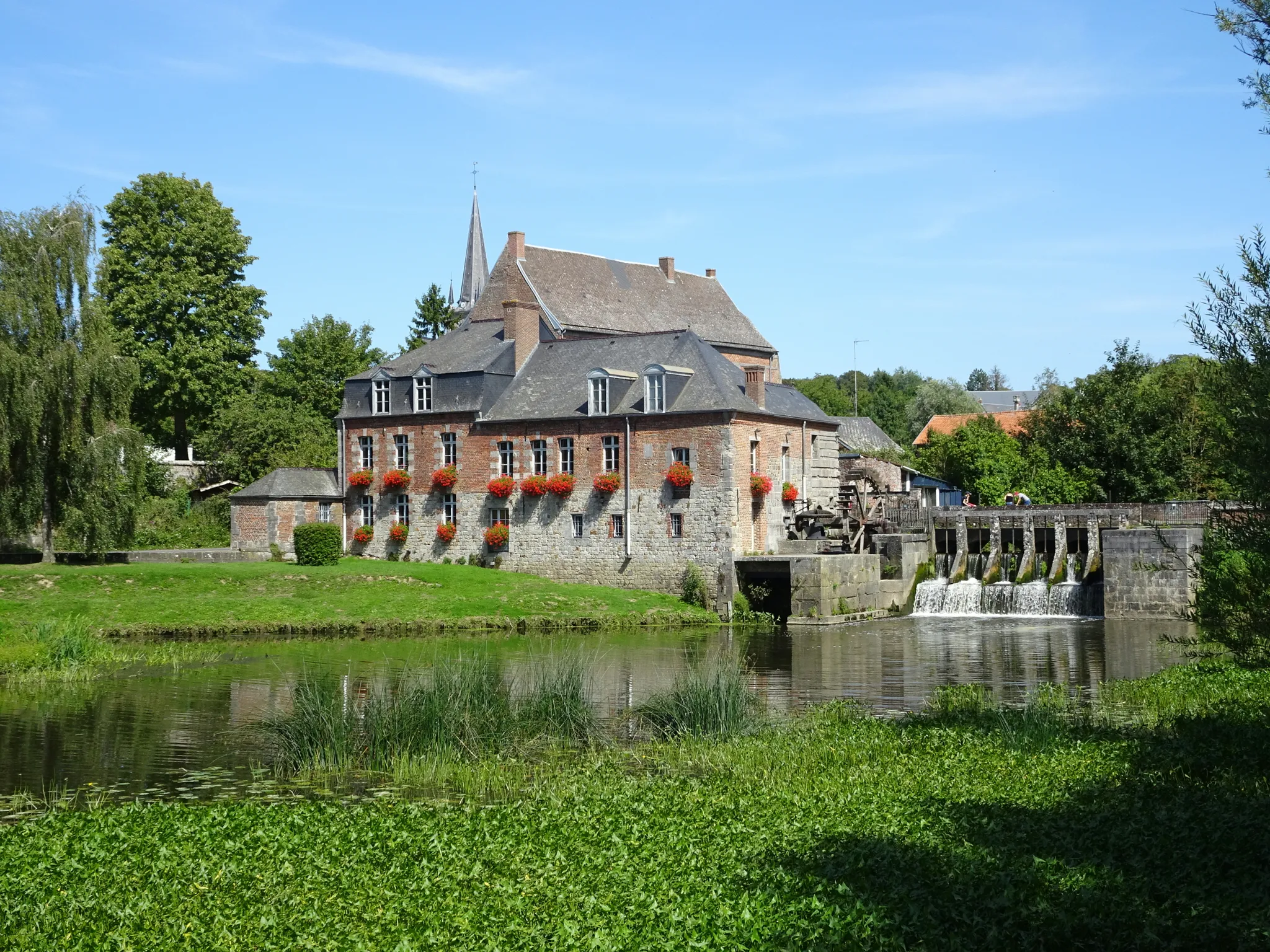
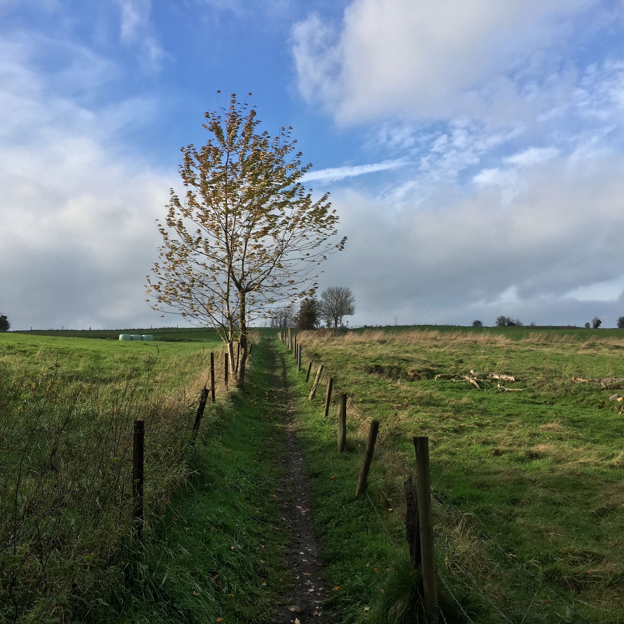
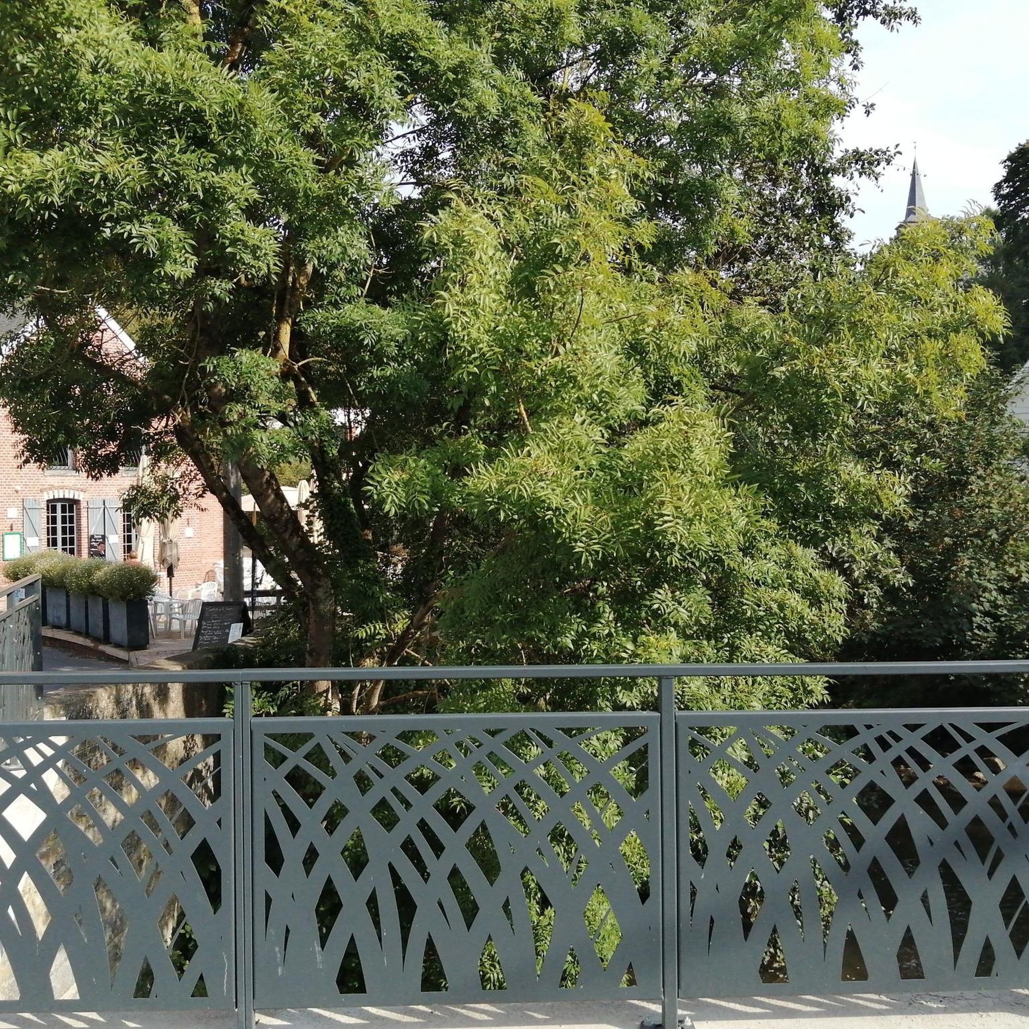
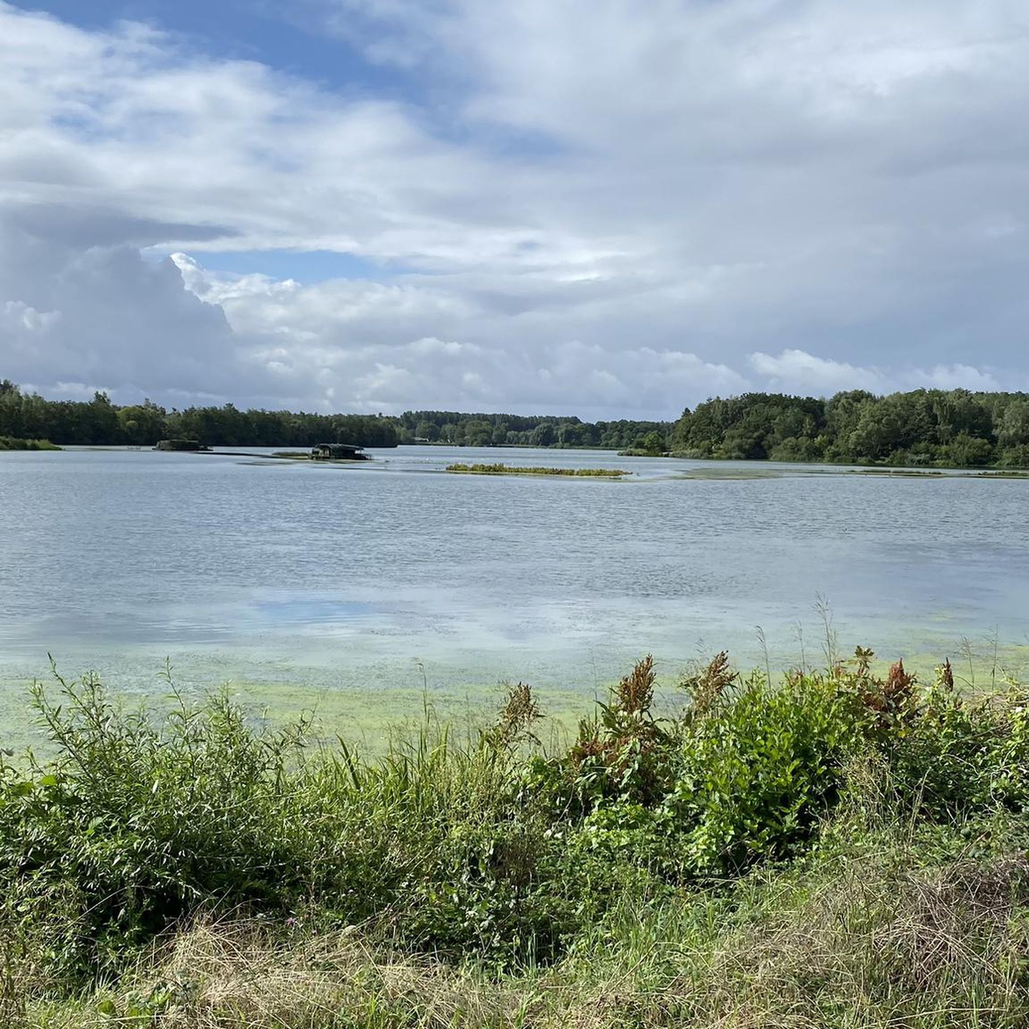

Other adventures around Gussignies

Tips from the Community

Superb rolling woodland, in a sunken valley with a river running through it and that big leaning rock (bique)
0
0


like a little trip to the moon...
0
0


The Bois d'Angre, located in Honnelles, is a forest renowned for the Caillou-qui-Bique, a 370 million year old pudding rock. This forest is home to rich biodiversity with oaks, ash trees and various rare species. A place of legends and hikes, the Angre woods is a precious natural site in Wallonia, managed by Natagora and other organizations to preserve its unique fauna and flora.
2
0

This fine gravel cycle path passes near beautiful wind turbines. A great way to start a bike ride.
0
0
Frequently Asked Questions
How many gravel bike trails are available around Gussignies?
There are over 15 gravel bike trails around Gussignies, offering a variety of experiences through woodlands, agricultural fields, and gently rolling terrain. These routes cater to different skill levels, from moderate to more challenging rides.
What are the general characteristics of the gravel biking terrain in Gussignies?
The region around Gussignies is characterized by extensive woodlands, agricultural fields, and gently rolling terrain. You'll find a mix of natural surfaces, including forest paths and quiet country roads. Elevation gains are generally moderate, providing a balanced ride.
Are there suitable gravel routes for beginners in Gussignies?
While most routes are moderate to difficult, there is at least one easy gravel bike trail available. For those looking for a less strenuous ride, consider routes with lower elevation gains and shorter distances. Always check the route details on komoot for specific difficulty ratings.
What kind of challenges can I expect on advanced gravel bike trails in Gussignies?
Advanced gravel bike trails in Gussignies, such as the Colfontaine Wood – Sauwartan Mining Tower loop from Thulin, often feature longer distances (up to 28 miles or 45 km) and more significant elevation gains, sometimes exceeding 280 meters. These routes typically involve varied natural surfaces and can take over 3 hours to complete.
Are there any gravel bike routes that are family-friendly in Gussignies?
For family-friendly options, look for routes described as 'easy' or 'moderate' with shorter distances and less elevation. While specific family-friendly routes aren't highlighted, the generally moderate terrain of Gussignies means many paths through the woodlands and agricultural fields could be suitable for families with some biking experience. Always review the route's difficulty and length before heading out.
What is the best time of year to go gravel biking in Gussignies?
Gravel biking in Gussignies is enjoyable throughout much of the year. Spring and autumn offer pleasant temperatures and beautiful scenery, especially with the changing foliage in the extensive woodlands. Summers are also good, though it's wise to start earlier in the day to avoid the midday heat. Winters can be ridden, but be prepared for potentially muddy sections on natural paths.
Are there any gravel bike routes that include cafe stops or places to rest?
Yes, some routes pass by or near places where you can stop for refreshments. For example, the Le Chalet Du Garde is a cafe that could be incorporated into a ride. It's always a good idea to check the route map for nearby towns or villages that might offer cafes or bakeries for a break.
What are some scenic viewpoints or interesting landmarks along the gravel trails in Gussignies?
Many routes offer scenic views of the rolling countryside and dense woodlands. You can also discover historical elements like old farmsteads and remnants of industrial heritage. Notable landmarks include Le Caillou-qui-Bique, a unique natural monument, and historical sites like the Former Frédéric coal mine (Machine à feu) or the Marcasse Coal Mine. The Bois d'Angre forest itself is a beautiful area to explore.
Are there many loop trails for gravel biking in Gussignies?
Yes, many of the gravel bike routes around Gussignies are designed as loops, allowing you to start and end at the same point. Examples include the Rampemont Farm Castle – Colfontaine Wood loop from Gussignies and the Trails of Bois d'Angres – Bois d’Angre loop from Bellignies. This makes planning your ride and parking more convenient.
What do other gravel bikers enjoy most about the Gussignies area?
The area is highly rated by the komoot community, with an average score of 4.1 stars from over 16 reviews. Riders often praise the diverse landscape, which combines dense woodlands with agricultural fields, and the presence of historical sites. The network offers a good balance of challenge and accessibility, making it appealing to a wide range of gravel bikers.
Where can I find parking for gravel biking routes in Gussignies?
Many gravel routes around Gussignies start from towns or villages like Thulin, Gussignies, or Bellignies, where public parking options are typically available. For specific routes, check the starting point on the komoot tour page, as local parking information is often provided by other users or in the route description.
What is the typical elevation gain on gravel bike routes in Gussignies?
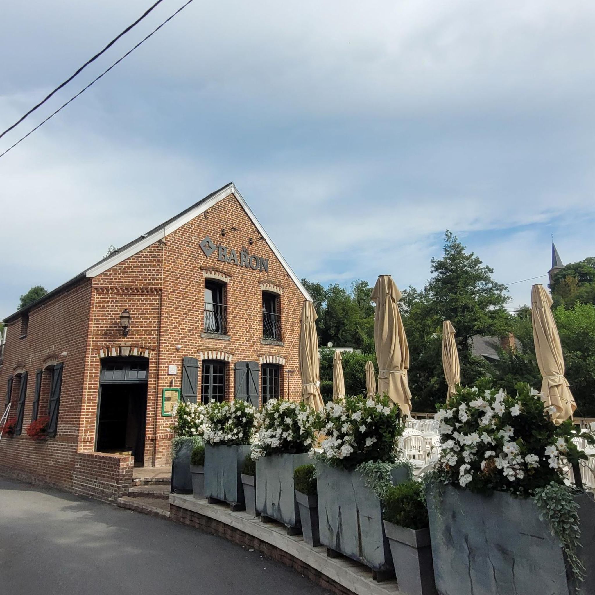
The elevation gains on gravel bike routes in Gussignies are generally moderate. For example, a route like the Bois d’Angre – Au Baron loop from Thulin, which is about 27.8 miles (44.8 km) long, features an elevation gain of around 330 meters. This provides a good balance of challenge without being overly strenuous for most riders.
Most popular routes around Gussignies
Most popular attractions around Gussignies

Get inspired with the komoot mobile app


Explore more
Browse the best Gravel rides in other regions.
