The best gravel rides around Wittelsheim
4.6
(70)
624
riders
112
rides
Gravel biking around Wittelsheim features a diverse landscape, ranging from challenging mountain passes to gentler river valley paths. The region is characterized by significant elevation changes, with routes ascending to peaks like Grand Ballon and Col Amic Pass. Dense forests and open mountain terrain provide varied surfaces for gravel cyclists. The presence of the Thur River also indicates flatter sections suitable for different skill levels.
Best gravel bike trails around Wittelsheim
- The most popular gravel bike trail is Col Amic…
Last updated: August 26, 2026
5.0
(2)
24
riders
16.9km
01:30
570m
570m
Hard gravel ride. Very good fitness required. Mostly paved surfaces. Suitable for all skill levels.
3.7
(3)
38
riders
41.0km
02:51
790m
790m
Hard gravel ride. Very good fitness required. Mostly paved surfaces. Suitable for all skill levels.

Sign up for free
4.8
(4)
74
riders
73.1km
05:11
1,500m
1,500m
Hard gravel ride. Very good fitness required. Mostly paved surfaces. Suitable for all skill levels.
10
riders
27.4km
02:14
710m
710m
Hard gravel ride. Very good fitness required. Mostly paved surfaces. Suitable for all skill levels.
4.7
(3)
27
riders
57.3km
04:06
1,320m
1,320m
Hard gravel ride. Very good fitness required. Mostly paved surfaces. Suitable for all skill levels.
Get access to more routes and recommendations from other explorers.
Sign up for free
Already have an account?
Our route recommendations are based on thousands of hikes, rides, and runs completed by other people on komoot.
Start today with a free account
Your next adventure awaits.
Login or Signup
Tips from the Community

it's fun to ride up there
0
0
great view from up there
0
0
beautiful view there at the spot
0
0

Great ascent route, away from the main roads, lots of forest = shade, moderate, steady climb between 6-9.5%, asphalt, few but great views
0
0


Great climb - a must for every road cyclist
0
0

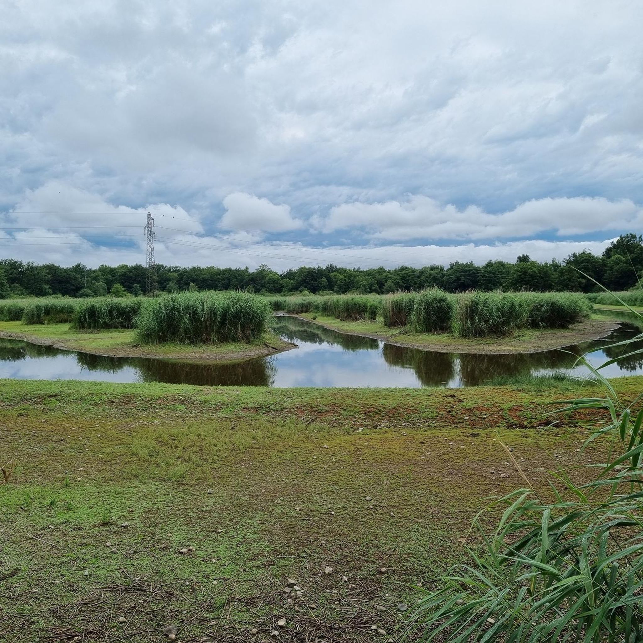
The artificially created, yet idyllically situated "Lac de la Lauch" lake is featured in the komoot system not only for joggers, but also as a highlight for various sports, including hikers, with many more photos uploaded there. If you're interested, see =>>https://www.komoot.com/de-de/highlight/308200
1
0
Frequently Asked Questions
How many gravel bike trails are available around Wittelsheim?
Wittelsheim offers a wide selection of gravel bike trails, with over 120 routes available. These range from moderate river-side paths to challenging mountain climbs, catering to various skill levels.
What is the overall difficulty level of gravel biking in Wittelsheim?
The gravel biking routes around Wittelsheim present a diverse range of difficulties. You'll find 14 easy routes, 56 moderate routes, and 50 difficult routes, many of which feature significant elevation changes and mountain passes.
Are there easy gravel bike trails suitable for beginners in Wittelsheim?
Yes, beginners can find suitable options. For instance, the route Along the Thur River – Beautiful blue metal bridge loop from Mulhouse Musées offers a moderate experience with minimal elevation gain, following the Thur River for a gentler ride.
What are some challenging gravel bike routes for experienced riders?
Experienced riders seeking a challenge will find plenty of difficult routes. Consider the Grand Ballon – Hohneck loop from Cernay, which covers over 93 km and includes more than 2,100 meters of elevation gain, traversing significant mountain terrain.
Can I find circular gravel bike routes in Wittelsheim?
Many of the gravel bike routes in Wittelsheim are designed as loops, allowing you to start and finish at the same point. For example, the Molkenrain - Cernay – Chapelle de la Loh loop from Cernay is a popular circular option.
What kind of scenery can I expect on gravel bike trails in Wittelsheim?
The region offers diverse scenery, from dense forests and open mountain terrain to river valleys. You'll encounter routes ascending to peaks like Grand Ballon, providing extensive views, as well as flatter sections along the Thur River.
Are there any scenic viewpoints or landmarks along the gravel bike trails?
Yes, the trails often pass by significant natural and cultural landmarks. You can find routes that lead to Col Amic or offer views of the Grand Ballon ascent. Some routes also pass by lakes such as Michelbach Lake.
What do other gravel bikers say about the trails in Wittelsheim?
The gravel biking routes in Wittelsheim are highly rated by the komoot community, with an average score of 4.5 stars from over 40 reviews. Riders often praise the varied terrain, from challenging mountain passes to scenic river paths, and the extensive views.
Are there any family-friendly gravel bike routes around Wittelsheim?
For families, routes along the Thur River offer a more relaxed experience with less elevation. These paths are generally flatter and provide a pleasant environment for a family outing on gravel bikes.
What is the best season for gravel biking in Wittelsheim?
The best seasons for gravel biking in Wittelsheim are typically spring and autumn, when temperatures are mild and the natural scenery is vibrant. Summer can also be good, especially for higher elevation routes, but be mindful of potential heat. Winter riding is possible but may require specific gear for colder conditions and potential snow at higher altitudes.
Are there options for shorter or longer gravel bike rides?
Yes, Wittelsheim caters to various ride lengths. You can find shorter loops, such as the Molkenrain - Cernay – Chapelle de la Loh loop from Cernay at 25.6 km, or opt for much longer excursions like the Grand Ballon – Hohneck loop from Cernay, which spans over 93 km.
Are there any less crowded gravel bike trails in Wittelsheim?
While popular routes can see more traffic, exploring some of the lesser-known paths or riding during off-peak hours (weekdays, early mornings) can lead to a more solitary experience. The vast network of trails means you can often find quieter sections away from the main attractions.
Most popular routes around Wittelsheim
Most popular attractions around Wittelsheim

Get inspired with the komoot mobile app


Explore more
Browse the best Gravel rides in other regions.
